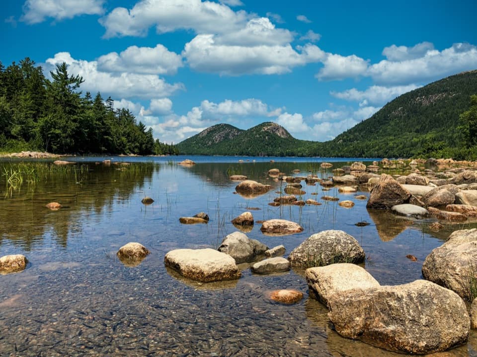
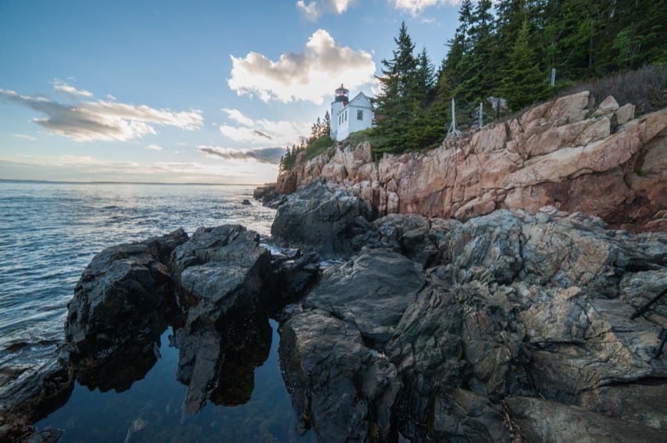
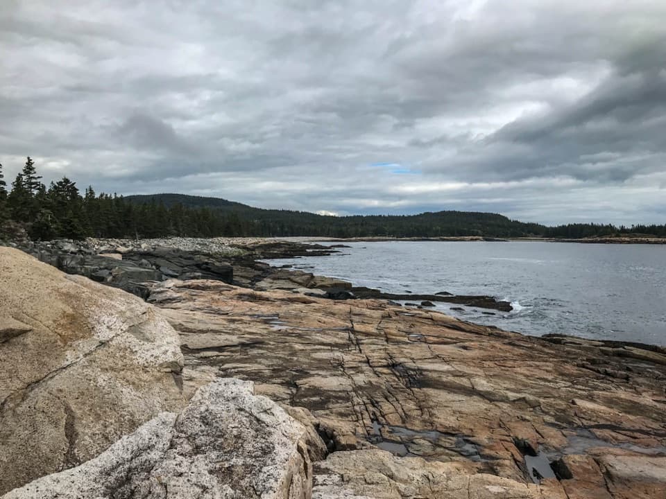
Sand Beach in Acadia National Park

#3 of 54 sights in Acadia

Beach · Acadia National Park

Sand Beach

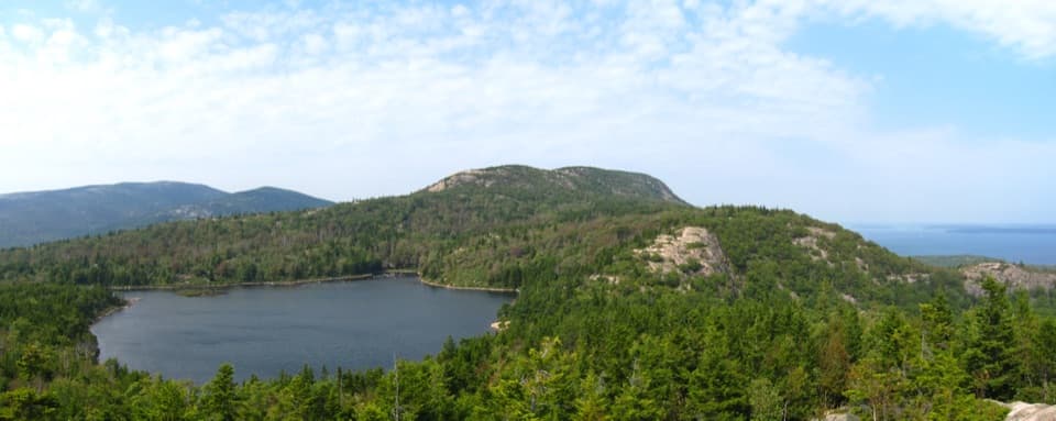
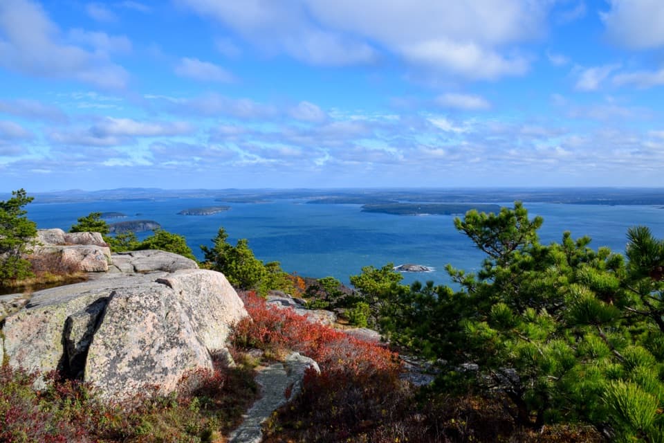
Rare shell-rich sand under granite headlands.

Photo: National Park Service
Type
Beach
Nearest trail
0.1 mi
Audio stories
16 nearby
  • Parking
  • Restrooms
  • Trailhead
  • Scenic viewpoint

Hear the audio tour

Sand Beach’s Shell-Rich Shore

Overview

About Sand Beach

Why stop

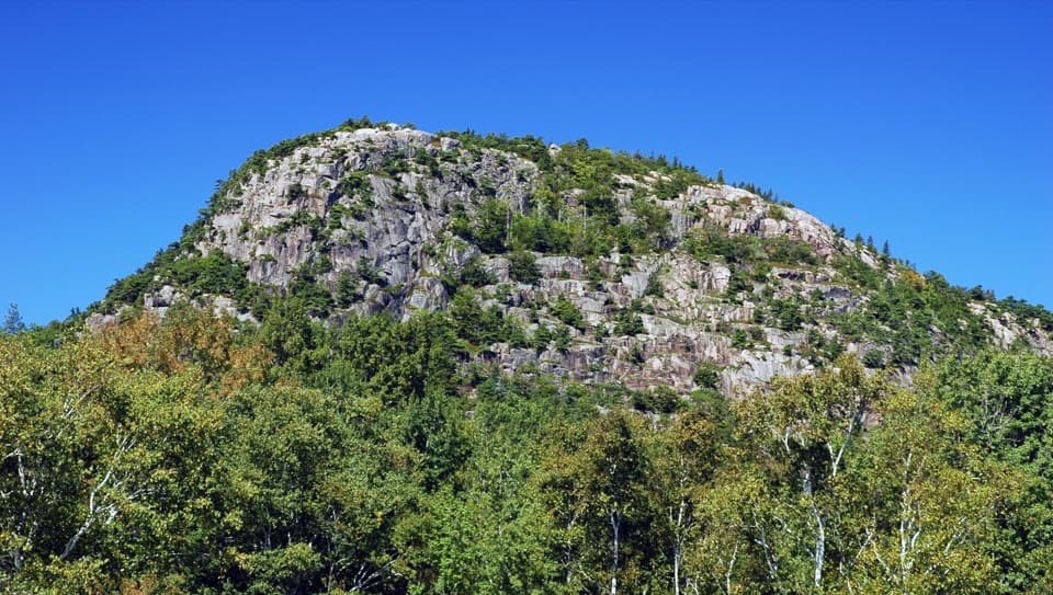
  • A distinctive cove with Great Head and Otter Cliffs around the view.

Heads up

  • Summer crowds can push parking onto the road and add a walk.
Most beaches are built from rock ground down over time. Much of Sand Beach’s sediment is made of calcium-carbonate shell fragments instead. It’s one of only two Atlantic coast beaches north of Cape Hatteras with both dunes and beach sediment made almost entirely from shells. Barnacles and mussels supply roughly 70–80 percent of the beach material, which gives the shore a surprising geological story for such an easy stop.
Parkwolf’s verdictWhy this sand is unusual

Map

Where it is

Loading the Acadia map
Full map
BeachSand Beach44.32915, -68.18219
Keep this map with you offline in the Parkwolf app

Plan your stop

Before you go

3 active Acadia alerts

  • ClosureSouthern Ocean Path section closed for repairsThe southern section of Ocean Path is closed for repairs from the trailhead across from the Otter Point parking lot to the trail’s southern terminus.Official details
  • ClosureSchoodic Mountain Road closed for repairsSchoodic Mountain Road is closed for repairs from Schoodic Loop Road to the summit of Schoodic Head.Official details
See all 3 alerts
A park ranger sits on a dash-mounted phone, talking, as Parkwolf’s Tour Guide plays “Army Cutworm Moths: A Grizzly Bear Buffet” on Grand Loop Road below Dunraven Pass in Yellowstone
Parkwolf Tour GuideThe highest, rockiest slopes around here are a summer buffet for grizzly bears.

Acadia Tour Guide

Your drive to Sand Beach, narrated.

Parkwolf is a GPS audio tour guide for Acadia National Park. As you drive, it chimes in with what’s ahead: hidden gems, upcoming stops, history, geology, and wildlife, right through your car’s speakers.

See the Acadia audio tour

Recorded for this place

Sand Beach’s Shell-Rich Shore
0:00 / 0:30
“You're coming up on Sand Beach, a pocket of sand between wooded granite headlands. I'd stop for a walk along the shore, even if swimming isn't on your list.”

Plays as you drive up to Sand Beach in the Parkwolf Acadia Tour Guide.

More stories near here in the app

  • The Beehive’s Rung Climb
  • Thunder Hole’s Unpredictable Boom
  • Schooner Head Overlook and the Shore Below
  • Keeping the Alewife's Route Open
  • 116 audio storiesacross Acadia’s roads, triggered by GPS as you drive
  • Wildlife heatmapsfor Bald Eagle, Peregrine Falcon, White-tailed Deer, and 13 more
  • Works offlinemaps, 142 trails, 72 places, and audio download before you lose signal
  • CarPlay readysimple controls built for the drive
★★★★★
“…As we drove through Acadia it gave us a tour, which was really cool. Lots of great info about the parks and how to avoid the crowds. It’s a great travel companion!”
MyMysteryChicaApp Store review
Download Parkwolf on the App StoreGet Parkwolf on Google Play

4.7 from 8,600+ ratings

Guide

More about Sand Beach

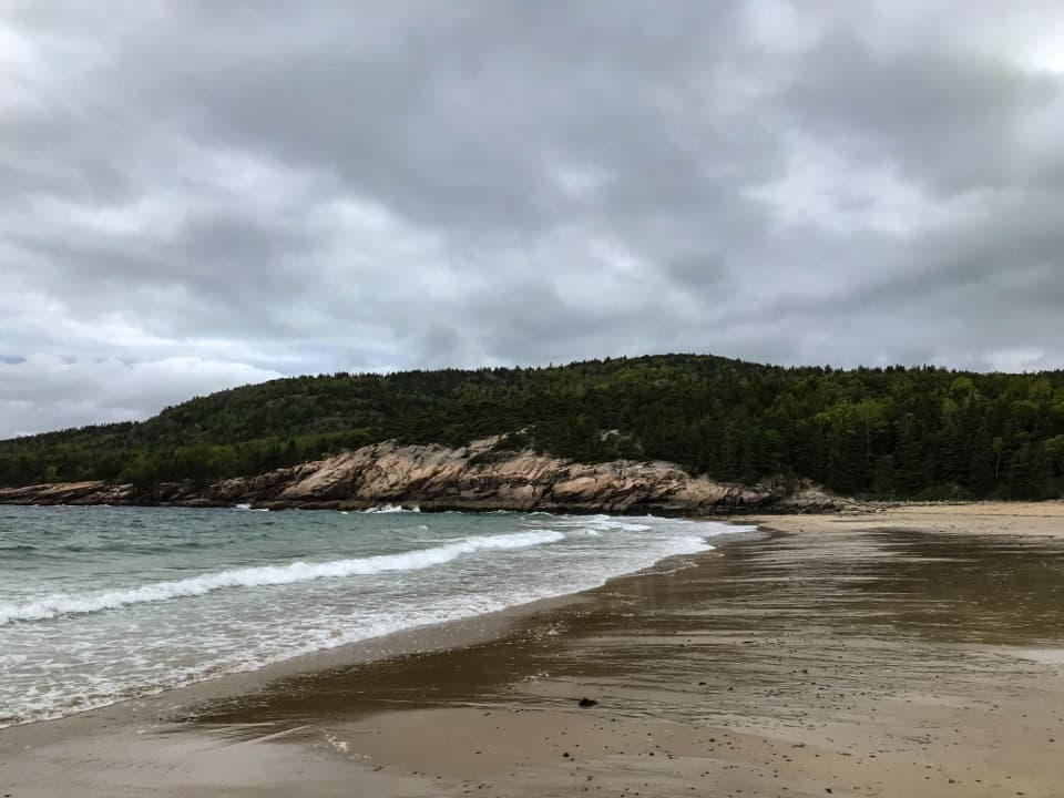
Acadia’s largest sandy beachSand Beach is a 290-yard ocean beach tucked into Newport Cove between Great Head and Otter…

Sand Beach is a 290-yard ocean beach tucked into Newport Cove between Great Head and Otter Cliffs, along the Park Loop Road coast. It’s Acadia’s largest sandy beach, and one of the stops I’d keep on an ocean-side day: settle on the sand, walk the surf line, or use it as a starting point for a longer coastal outing. The Atlantic here is cold, usually 50–60°F (10–15°C) even in summer, and strong tides and rogue waves can surprise swimmers. If you’d rather stay dry, the cove is still a good place to slow down and watch the water.

Getting down to the sandThe entrance is on the left shortly after the Schooner Head Road entrance station.

The entrance is on the left shortly after the Schooner Head Road entrance station. The main lot has five angled accessible spaces and accessible restrooms, plus changing rooms, rinse showers and a drinking fountain. A 37-step staircase with handrails and four landings leads down to the beach, so the sand itself isn’t wheelchair accessible. The upper lot is reached by stairs and has no accessible spaces. Summer parking can spill onto Park Loop Road, which may leave you with a longer walk. The free Island Explorer stops beside the lot during its operating season. Non-service dogs have seasonal restrictions beyond the stairs; check the current beach rules for dates and boundaries.

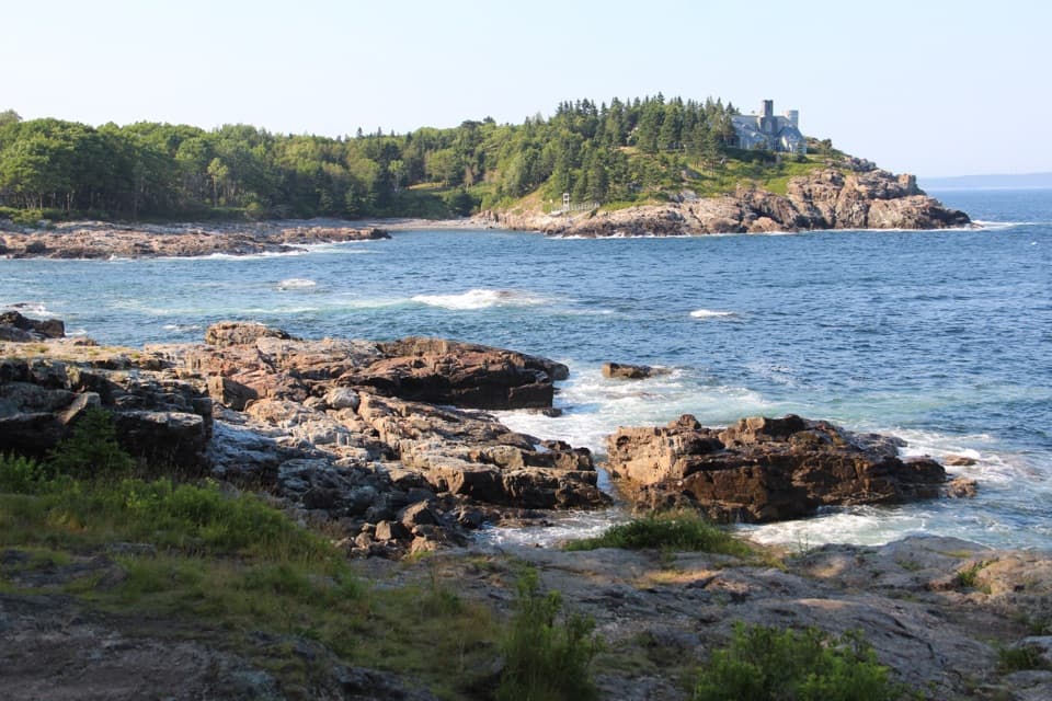
The view from the shoreThe beach faces the Atlantic, with wooded granite headlands at either end of the cove.

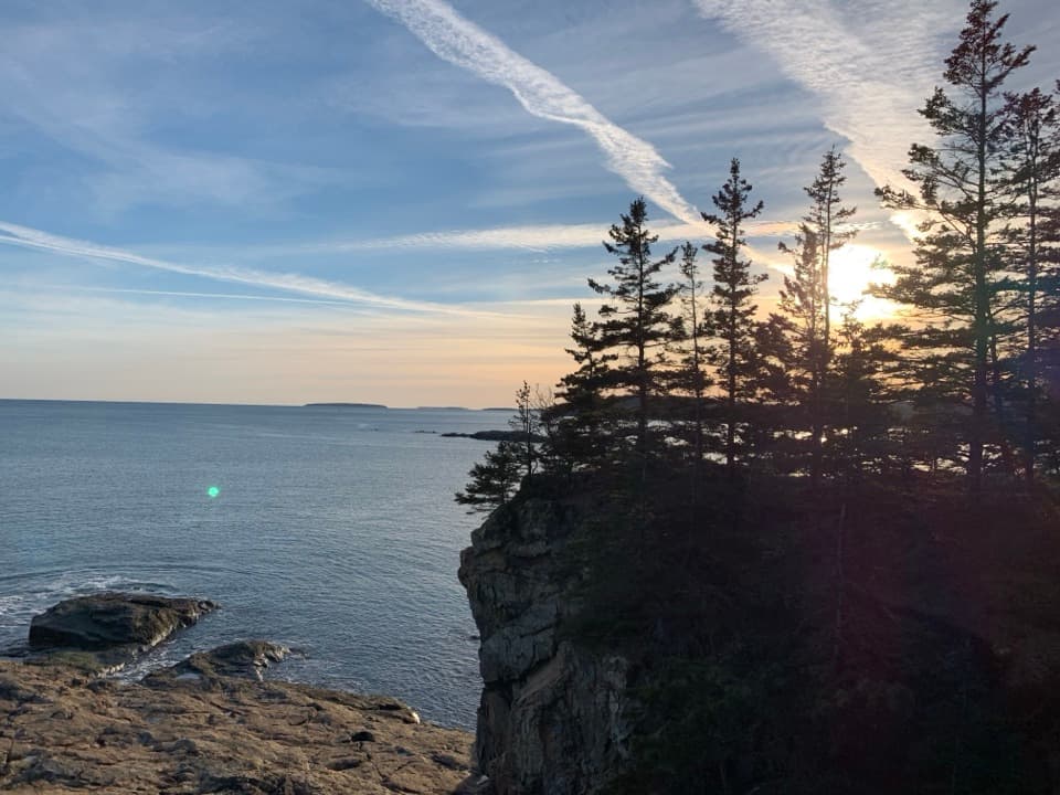
The beach faces the Atlantic, with wooded granite headlands at either end of the cove. Old Soaker, a low rocky ledge just offshore near the cove mouth, breaks up some of the incoming surf. From the sand, include that ledge in a seaward photo to show how the open water approaches this sheltered pocket. For a wide look back over the whole beach, take the Great Head route and frame the cove from above.

How Newport Cove holds its sandNewport Cove faces south and catches prevailing summer waves from the south and southwest,…

Newport Cove faces south and catches prevailing summer waves from the south and southwest, which carry shell material onto shore. Little sediment comes down from land, so shells make up an unusually large share of the beach. Old Soaker also helps: the offshore ledge moderates the surf and lets finer sediment collect inside the cove. The beach shifts over time, but these currents and the shape of the cove help explain why this particular stretch holds its shell-rich sand.

Make it a longer coastal stopSand Beach has nearby access to Great Head Trail, Ocean Path, Beehive Loop and Gorham Mountain…

Sand Beach has nearby access to Great Head Trail, Ocean Path, Beehive Loop and Gorham Mountain Loop, so you can pair a swim or shore walk with a hike. It’s also a good place to explore the intertidal edge. The open shoreline is used for stargazing too; ranger night-sky programs vary by season, so check the park calendar if you want to join one.

Wildlife

Wildlife in Acadia

All Acadia wildlife maps

Sighting maps show where each species has been reported across Acadia. Wildlife moves, so no sighting is guaranteed.

Keep exploring

Near Sand Beach

See it all on the map

Trails nearby

More stops nearby

Parkwolf’s Acadia ranking

Top sights in Acadia

All 72 places
  1. 1Cadillac MountainSight
  2. 2Jordan PondSight
  3. 4Thunder HoleSight
  4. 5Bass Harbor Head Light StationSight
  5. 6Schoodic PointSight
  6. 7Otter CliffSight

Take Parkwolf to Acadia.

The audio tour guide for the drive, plus offline maps, trails, and wildlife heatmaps for when the signal drops.

4.7 from 8,600+ ratings

Download Parkwolf on the App StoreGet Parkwolf on Google Play