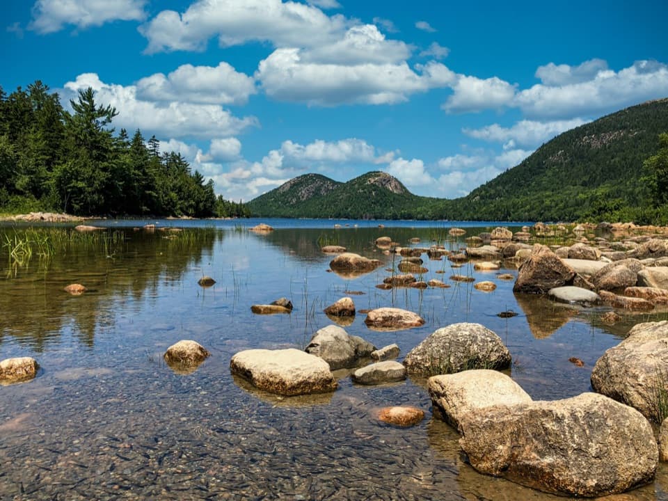
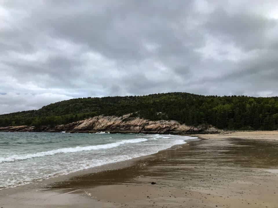
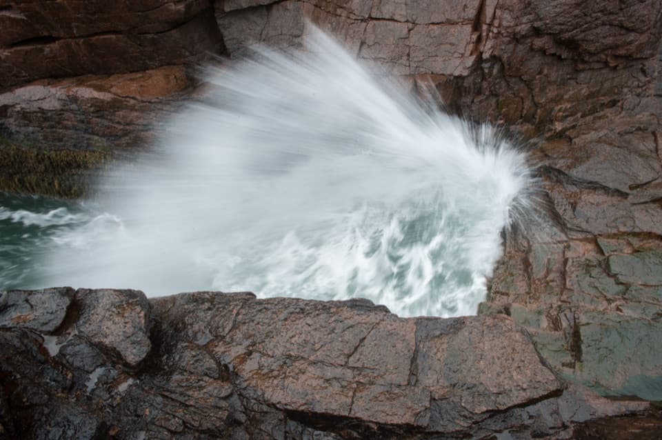
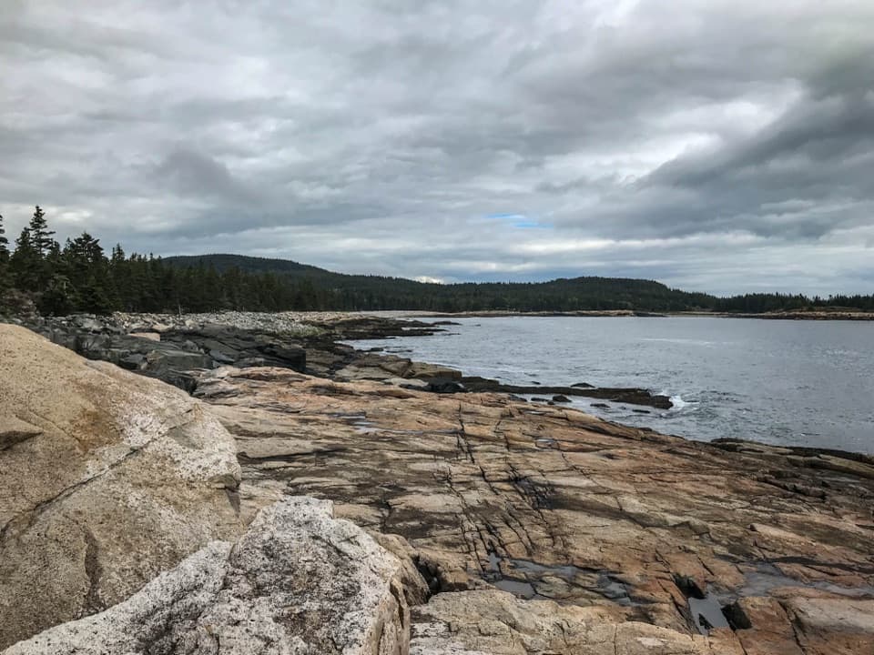
Seawall Picnic Area in Acadia National Park

Picnic area · Acadia National Park

Seawall Picnic Area

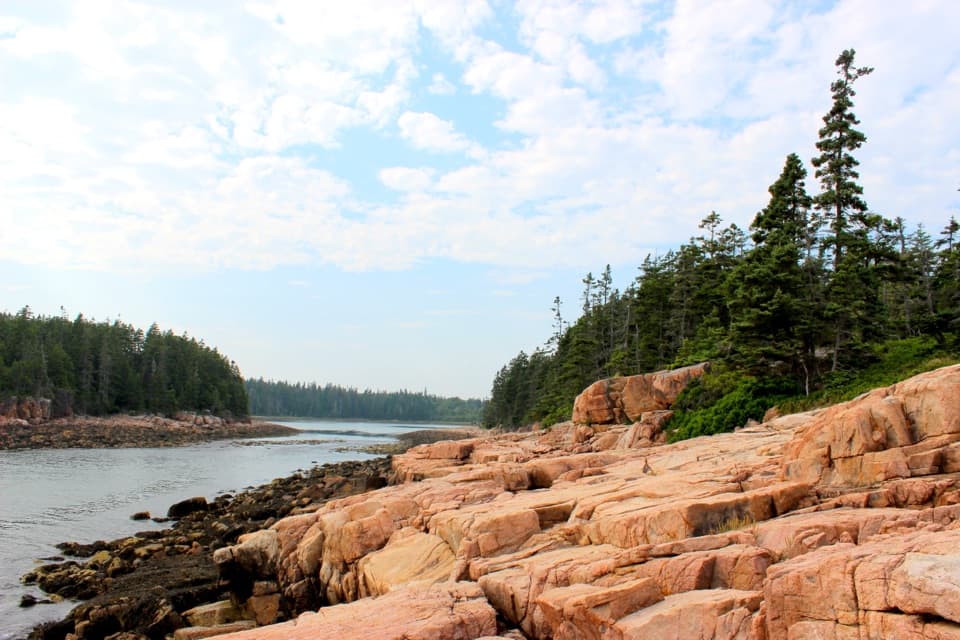
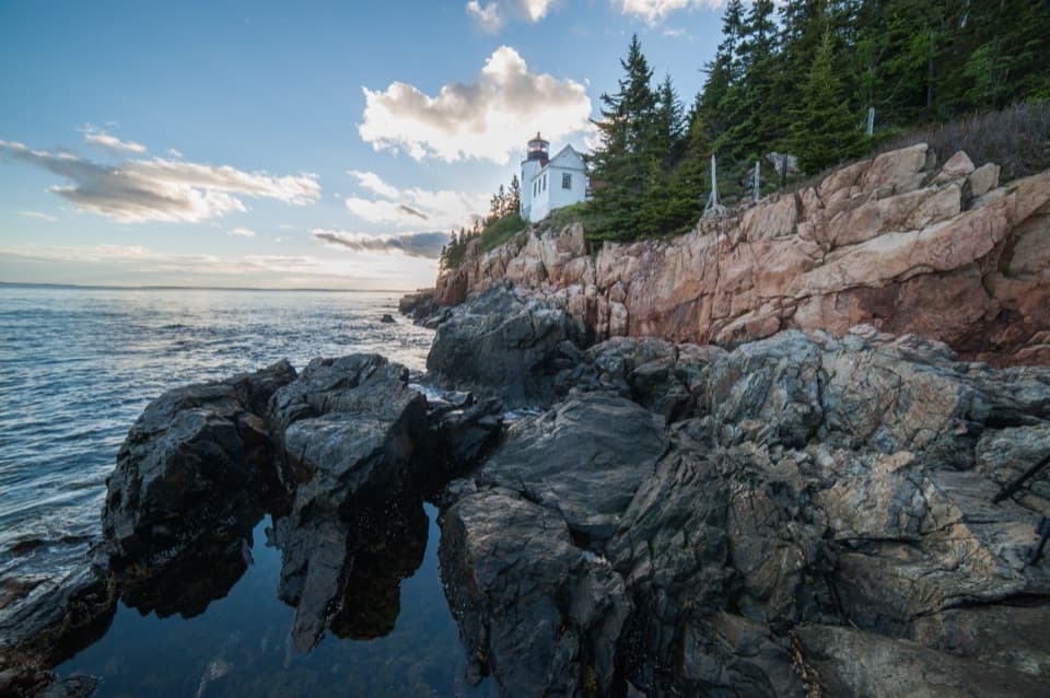
Lunch beside the ocean, then explore its naturally sorted cobbles.

Photo: National Park Service
Type
Picnic area
Nearest trail
0.6 mi
Audio stories
4 nearby
  • Parking
  • Picnic tables
  • Restrooms
  • Scenic viewpoint

Hear the audio tour

Seawall’s Ocean Picnic Stop

Overview

About Seawall Picnic Area

Why stop

  • Shoreline tables and fire rings make it easy to linger over lunch.
  • The cobbles give night-sky photos a strong sense of place.

Heads up

  • The shore is uneven and can be slippery when wet.

Map

Where it is

Loading the Acadia map
Full map
Picnic areaSeawall Picnic Area44.23833, -68.30220
Keep this map with you offline in the Parkwolf app

Plan your stop

Before you go

3 active Acadia alerts

  • ClosureSouthern Ocean Path section closed for repairsThe southern section of Ocean Path is closed for repairs from the trailhead across from the Otter Point parking lot to the trail’s southern terminus.Official details
  • ClosureSchoodic Mountain Road closed for repairsSchoodic Mountain Road is closed for repairs from Schoodic Loop Road to the summit of Schoodic Head.Official details
See all 3 alerts
A park ranger sits on a dash-mounted phone, talking, as Parkwolf’s Tour Guide plays “Army Cutworm Moths: A Grizzly Bear Buffet” on Grand Loop Road below Dunraven Pass in Yellowstone
Parkwolf Tour GuideThe highest, rockiest slopes around here are a summer buffet for grizzly bears.

Acadia Tour Guide

Your drive to Seawall Picnic Area, narrated.

Parkwolf is a GPS audio tour guide for Acadia National Park. As you drive, it chimes in with what’s ahead: hidden gems, upcoming stops, history, geology, and wildlife, right through your car’s speakers.

See the Acadia audio tour

Recorded for this place

Seawall’s Ocean Picnic Stop
0:00 / 0:30
“You're nearing Seawall Picnic Area, a shoreline lunch stop opposite the campground. The seawall here is a natural ridge of cobbles piled up by powerful storm waves.”

Plays as you drive up to Seawall Picnic Area in the Parkwolf Acadia Tour Guide.

More stories near here in the app

  • Wonderland’s Fire Road to the Coast
  • Ship Harbor’s Cove and Granite Pools
  • The Mussel’s Anchoring Threads
  • Bass Harbor Head Light Station
  • 116 audio storiesacross Acadia’s roads, triggered by GPS as you drive
  • Wildlife heatmapsfor Bald Eagle, Peregrine Falcon, White-tailed Deer, and 13 more
  • Works offlinemaps, 142 trails, 72 places, and audio download before you lose signal
  • CarPlay readysimple controls built for the drive
★★★★★
“…As we drove through Acadia it gave us a tour, which was really cool. Lots of great info about the parks and how to avoid the crowds. It’s a great travel companion!”
MyMysteryChicaApp Store review
Download Parkwolf on the App StoreGet Parkwolf on Google Play

4.7 from 8,600+ ratings

Guide

More about Seawall Picnic Area

Make it a shoreline stopSeawall Picnic Area is a day-use picnic ground on Acadia’s southwest side, set beside a…

Seawall Picnic Area is a day-use picnic ground on Acadia’s southwest side, set beside a naturally formed cobble ridge. It makes a good lunch break if you’re already driving through Southwest Harbor or Bass Harbor: the tables sit close to the water, and you can wander the rocky shore or look for tide pools. Bring your own food; no food service is listed at this stop.

Getting down to the shoreTake Route 102 south through Southwest Harbor and turn onto Route 102A, Seawall Road; the…

Take Route 102 south through Southwest Harbor and turn onto Route 102A, Seawall Road; the picnic area is opposite Seawall Campground. The drive from Hulls Cove Visitor Center takes about 30 to 40 minutes. A short gravel path from the parking loop reaches some tables and fire rings. Other picnic spots sit on uneven grass, roots, and rocky shoreline.

The paved area has two accessible parking spaces and an accessible restroom, but the shore beyond the pavement is not accessible. The cobbles can be slippery when wet. Dogs are allowed on a leash no longer than six feet.

How the seawall formedThis is a natural ridge, not a built sea wall. Storm waves push beach stones up the shore.

This is a natural ridge, not a built sea wall. Storm waves push beach stones up the shore. As the tide moves in and out, heavier rocks collect high on the ridge while smaller, lighter stones settle lower down.

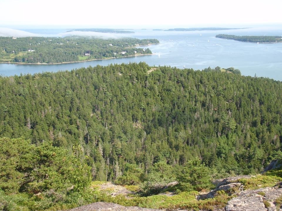
Stay for the night skyThe open shore looks northeast and south over the Atlantic and the mouth of Somes Sound.

The open shore looks northeast and south over the Atlantic and the mouth of Somes Sound. Seawall is promoted for stargazing in spring, summer, and fall; use the cobbles as foreground for a photo of the Milky Way or planets, instead of framing only the sky.

Wildlife

Wildlife in Acadia

All Acadia wildlife maps

Sighting maps show where each species has been reported across Acadia. Wildlife moves, so no sighting is guaranteed.

Keep exploring

Near Seawall Picnic Area

See it all on the map

Trails nearby

More stops nearby

Parkwolf’s Acadia ranking

Top sights in Acadia

All 72 places
  1. 1Cadillac MountainSight
  2. 2Jordan PondSight
  3. 3Sand BeachBeach
  4. 4Thunder HoleSight
  5. 5Bass Harbor Head Light StationSight
  6. 6Schoodic PointSight

Take Parkwolf to Acadia.

The audio tour guide for the drive, plus offline maps, trails, and wildlife heatmaps for when the signal drops.

4.7 from 8,600+ ratings

Download Parkwolf on the App StoreGet Parkwolf on Google Play