Hio Road Trail in Acadia National Park

Acadia National Park, ME

Hio Road Trail

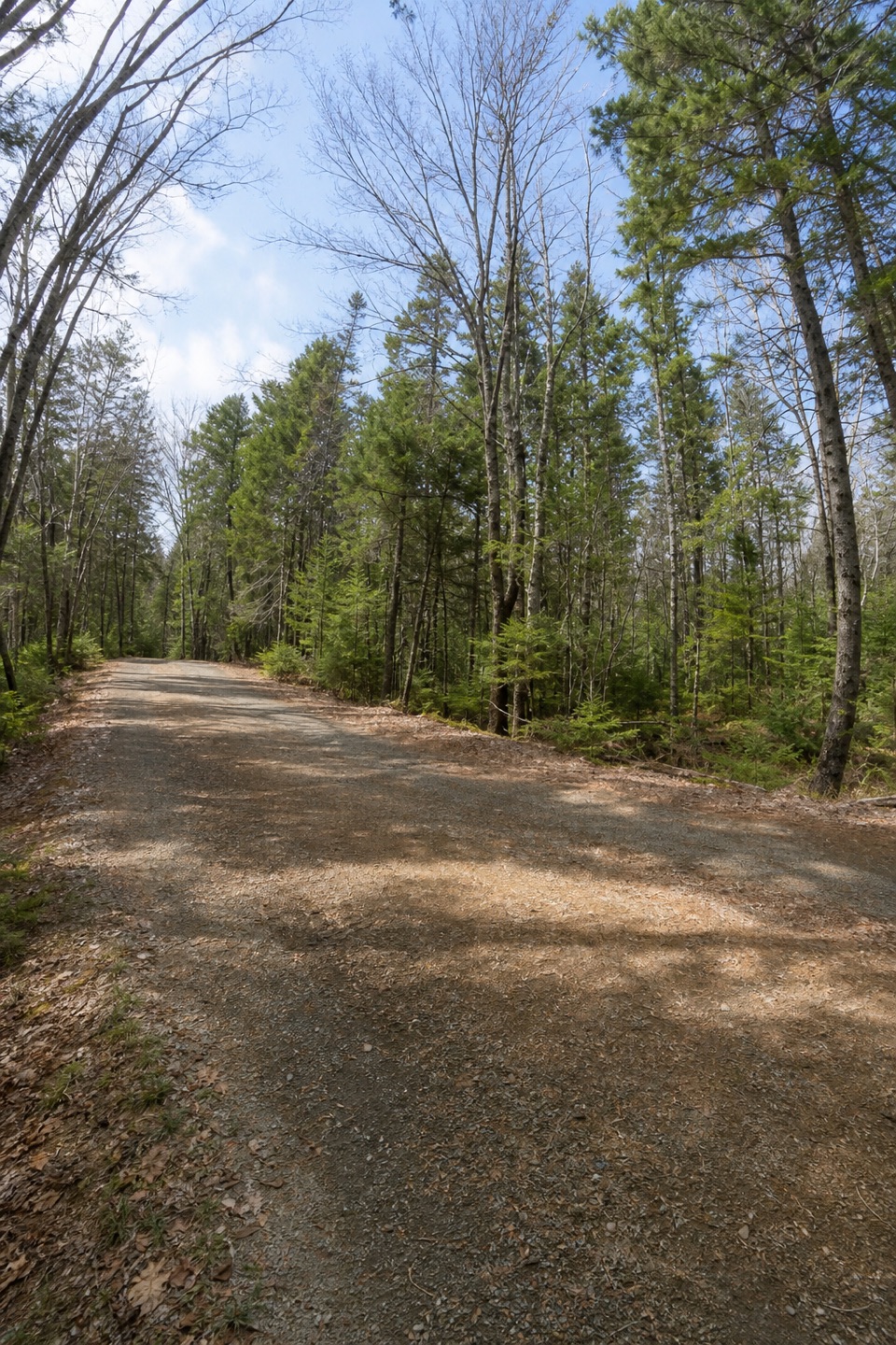
A mostly level forest road between Seawall and Route 102.

Length
4mi
Time
2hr
Elev. change
98ft
Difficulty
Easy
  • Dogs allowed
  • High point 115 ft

Hear the audio tour

Seawall’s Ocean Picnic Stop

Overview

About Hio Road Trail

Why go

  • Mostly level, smooth footing makes the four-mile outing easy to pace.
  • A long forest-road walk without steep climbing.

Heads up

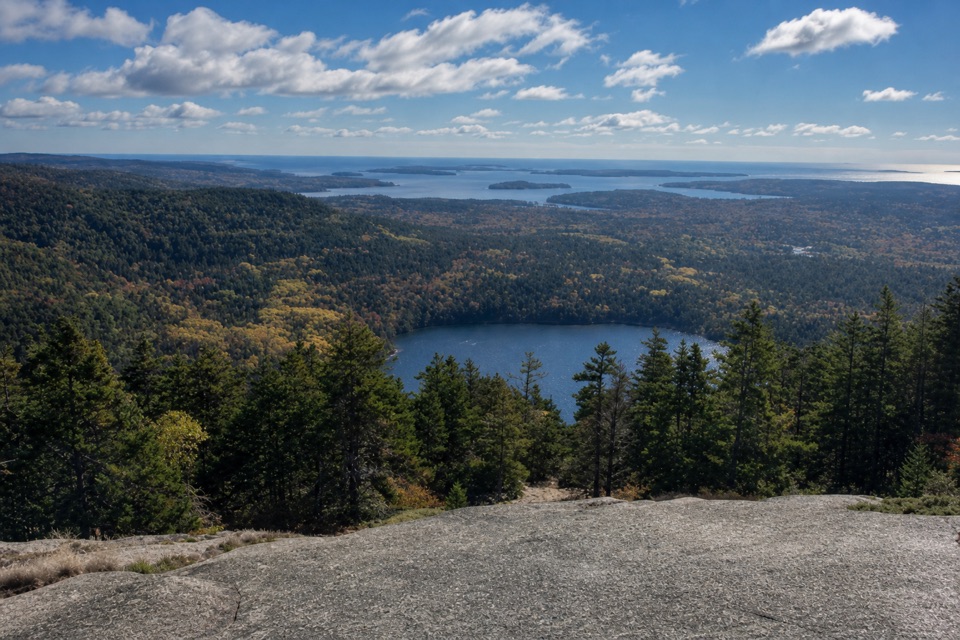
  • No summit or open-water view.
  • Day-use access from public parking to the gate is unclear.

Map & elevation

The route

Loading the Acadia map
Full map
Elevation16–115 ft
TrailheadHio Road gate behind Seawall Campground group-camping area44.24513, -68.31065
Keep this map with you offline in the Parkwolf app

Plan your hike

Before you go

Parking

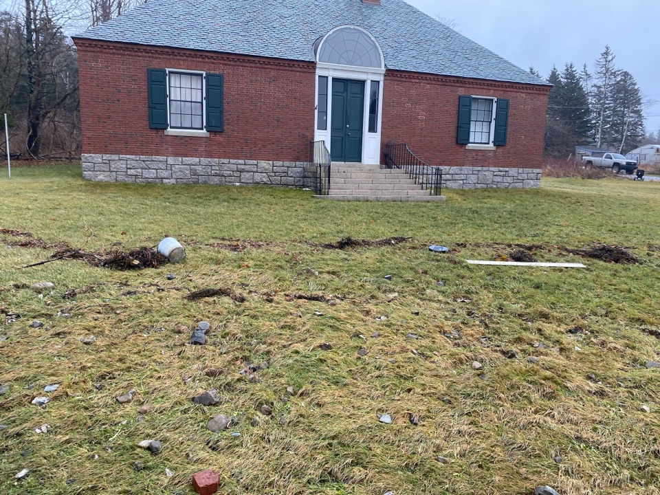
The route starts at the Hio Road gate behind Seawall Campground’s group-camping area. Published Seawall directions list parking at Seawall Picnic Area but do not describe a public walk from that lot to the gate. Confirm the day-use approach before relying on this trail; roadside parking is prohibited.


Safety

The mapped route ends beside Route 102 at Adams Bridge. Turn around at the road edge and retrace Hio Road rather than continuing along the highway. Day-use access to the starting gate from public parking is unclear, so confirm it before setting out.

4 active Acadia alerts

  • CautionAvoid water contact at Sand Beach LagoonDo not swim at Sand Beach Lagoon. - Bacterial levels have exceeded public-health standards, so the NPS has posted a Public Health Advisory.Official details
  • ClosureSchoodic Mountain Road closed for repairsSchoodic Mountain Road is closed from Schoodic Loop Road to the summit of Schoodic Head. - The closure began August 31 for resurfacing, regrading, and ditching.Official details
See all 4 alerts
A park ranger sits on a dash-mounted phone, talking, as Parkwolf’s Tour Guide plays “Army Cutworm Moths: A Grizzly Bear Buffet” on Grand Loop Road below Dunraven Pass in Yellowstone
Parkwolf Tour GuideThe highest, rockiest slopes around here are a summer buffet for grizzly bears.

Acadia Tour Guide

Your drive to Hio Road Trail, narrated.

Parkwolf is a GPS audio tour guide for Acadia National Park. As you drive, it chimes in with what’s ahead: hidden gems, upcoming stops, history, geology, and wildlife, right through your car’s speakers.

Recorded for this trailhead

Seawall’s Ocean Picnic Stop
0:00 / 0:30
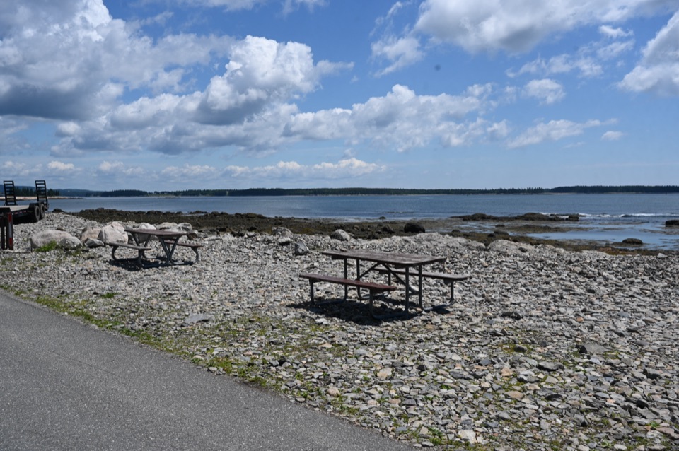
“You're nearing Seawall Picnic Area, a shoreline lunch stop opposite the campground. The seawall here is a natural ridge of cobbles piled up by powerful storm waves.”

Plays as you drive up to this trailhead in the Parkwolf Acadia Tour Guide.

More stories near here in the app

  • Wonderland’s Fire Road to the Coast
  • The Mussel’s Anchoring Threads
  • Ship Harbor’s Cove and Granite Pools
  • The Dragonfly’s First Flight
  • 116 audio storiesacross Acadia’s roads, triggered by GPS as you drive
  • Wildlife heatmapsfor Bald Eagle, Peregrine Falcon, White-tailed Deer, and 13 more
  • Works offlinemaps, 142 trails, 72 places, and audio download before you lose signal
  • CarPlay readysimple controls built for the drive
★★★★★
“…As we drove through Acadia it gave us a tour, which was really cool. Lots of great info about the parks and how to avoid the crowds. It’s a great travel companion!”
MyMysteryChicaApp Store review
Download Parkwolf on the App StoreGet Parkwolf on Google Play

4.7 from 8,600+ ratings

Trail guide

Hiking Hio Road Trail

The routeHio Road Trail is a 3.

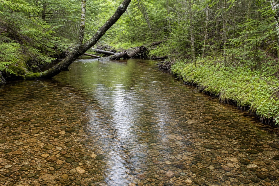
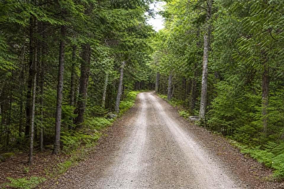
Hio Road Trail is a 3.97-mile round-trip out-and-back from the iron gate behind Seawall Campground’s group-camping area to Adams Bridge beside Route 102, then back. It follows a mostly level, smooth dirt-and-gravel service road through deep woods. Allow about two hours. The payoff is steady forest walking, without a summit or open-water view.

What you’ll findBass Harbor Marsh is nearby through the woods, but there’s no established marsh viewpoint on…

Bass Harbor Marsh is nearby through the woods, but there’s no established marsh viewpoint on this route. At the far end, turn at Adams Bridge beside Route 102 and retrace the same road. Hio Road is closed to motor vehicles except snowmobiles; bicycles and other nonmotorized recreation also use it, so this isn’t a hiking-only path. Dogs are allowed on a leash no longer than six feet.

Start and accessThe Hio Road gate is behind the campground’s group area.

The Hio Road gate is behind the campground’s group area. Published directions identify parking at Seawall Picnic Area but don’t explain a day-use connection from that lot to the gate. Confirm the public approach before setting out; roadside parking is prohibited. The distance above starts at the gate, not at the picnic area.

Wildlife

Wildlife in Acadia

All Acadia wildlife maps

Sighting maps show where each species has been reported across Acadia. Wildlife moves, so no sighting is guaranteed.

Keep exploring

Near Hio Road Trail

See it all on the map

Trails that start nearby

Places near the trailhead

Parkwolf’s Acadia ranking

Top-rated trails in Acadia

All 142 trails
  1. 1Beehive Loop TrailChallenging · 1.4 mi
  2. 2Precipice TrailChallenging · 2.1 mi
  3. 3Jordan Pond PathModerate · 3.3 mi
  4. 4Bubbles TrailModerate · 1.5 mi
  5. 5Ocean PathEasy · 2.2 mi
  6. 6Cadillac Mountain South Ridge TrailChallenging · 7.8 mi

Take Parkwolf to Acadia.

The audio tour guide for the drive, plus offline maps, trails, and wildlife heatmaps for when the signal drops.

4.7 from 8,600+ ratings

Download Parkwolf on the App StoreGet Parkwolf on Google Play