Parking
From ME 102 just before Southwest Harbor, turn onto Fernald Point Road and continue to the parking area on the left. No public transportation serves this trailhead.
Acadia National Park, ME
A short summit loop with Somes Sound views and a rocky cove.
Overview
Map & elevation
Plan your hike

The highest, rockiest slopes around here are a summer buffet for grizzly bears.
Acadia Tour Guide
Parkwolf is a GPS audio tour guide for Acadia National Park. As you drive, it chimes in with what’s ahead: hidden gems, upcoming stops, history, geology, and wildlife, right through your car’s speakers.
Recorded for this trailhead
Flying Mountain and Valley Cove“Flying Mountain's trailhead is ahead, for a short loop pairing Somes Sound views with the rocky shore at Valley Cove.”
Plays as you drive up to this trailhead in the Parkwolf Acadia Tour Guide.
More stories near here in the app
“…As we drove through Acadia it gave us a tour, which was really cool. Lots of great info about the parks and how to avoid the crowds. It’s a great travel companion!”


Trail guide
Flying Mountain Loop is a 1.5-mile circuit from Fernald Point Road over a small granite summit, down to Valley Cove, and back through the woods. Most hikers take one to two hours; allow about 90 minutes if you want time at the ledges and shore. It packs two very different stops into a short walk: a steep little mountain climb above Somes Sound and a rocky cove at the water. The mileage is modest, but the footing is real hiking throughout. Choose it for a compact summit-and-shore outing, not for a smooth, easy stroll.
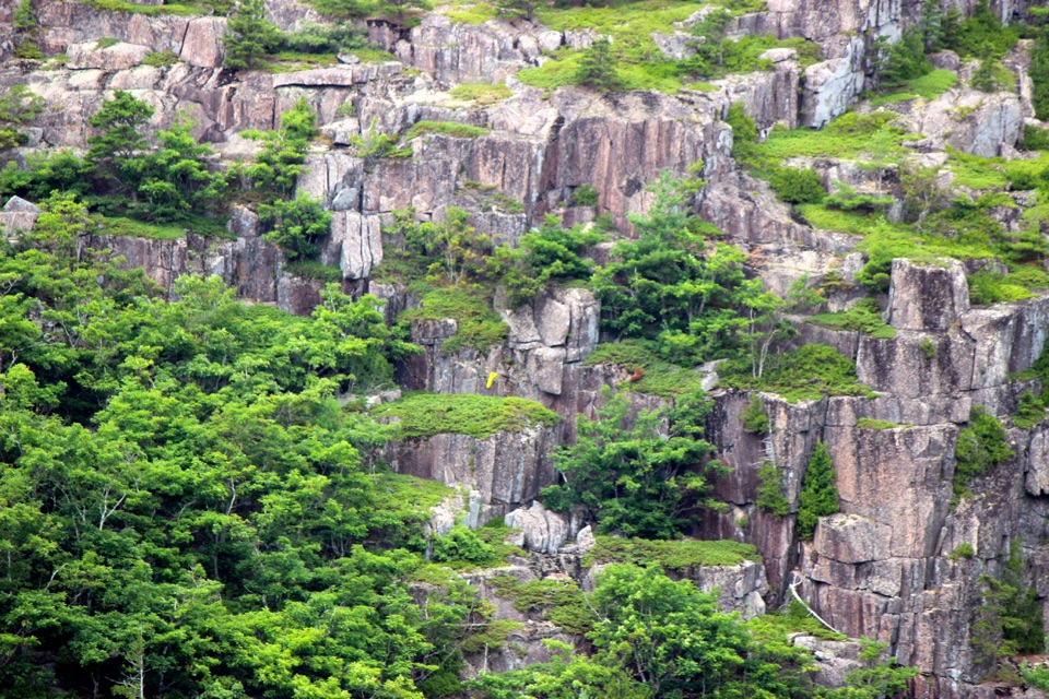
The trail starts on log and gravel steps through forest. As it climbs, the tread gets rougher underfoot: roots and irregular rock replace the steps, then the route crosses exposed granite ledges near the top. Overlooks open east toward Somes Sound and south toward the ocean. The climb to the summit is roughly 200 feet, but the steep, uneven sections can make it feel harder than the number suggests. Take your time on the ledges; you do not need to hurry to the top to get the views.
Continue north along the ridge past the summit markers. A short out-and-back spur reaches an east-facing overlook; retrace it to rejoin the main path. Flying Mountain rises to 284 feet, so the reward is more about the open granite and water views than a long ascent. For a summit photo, keep some granite in the foreground with Somes Sound beyond it; a frame filled only with water loses the sense of being up on the ledges.
From the ridge, the trail descends over rocky ground and stone steps to Valley Cove. The shore is rocky rather than sandy, and it makes a good pause after the exposed climb. A local trail history says British ships used the cove as shelter and took drinking water from Man O' War Brook Waterfall. The waterfall is not on this short loop, so do not follow the northbound trail unless you are deliberately choosing a longer walk.
The short loop crosses a flat grassy stretch and then follows Valley Cove Road through forest back to the parking area; that road is for foot traffic only. It is easier than the summit climb, but footing remains uneven. Continuing north from the cove toward Valley Peak creates a separate 3.1-mile loop. The 1.5-mile figure here includes the complete return to Fernald Point Road.
From ME 102 just before Southwest Harbor, turn left onto Fernald Point Road and continue to the parking area on the left. There is no public transportation to this trailhead. A park entrance pass is required year-round, though there is no separate trail fee or reservation. Dogs are allowed on leashes no longer than six feet. The route is not accessible because of uneven footing, and there are no accessible restrooms at the trailhead. It can work for skilled young hikers, but anyone uneasy on steep rock or exposed ledges may be happier on a flatter trail.
Wildlife
 130 sightingsBald EagleMost seen around noonSighting map
 21 sightingsPeregrine FalconMost seen around 10 AMSighting map
 396 sightingsWhite-tailed DeerMost seen around 7 PMSighting map
 305 sightingsPorcupineMost seen around 7 PMSighting map
 201 sightingsBeaverMost seen around 7 PMSighting map
 34 sightingsMinkMost seen around 7 PMSighting map
Sighting maps show where each species has been reported across Acadia. Wildlife moves, so no sighting is guaranteed.
Keep exploring
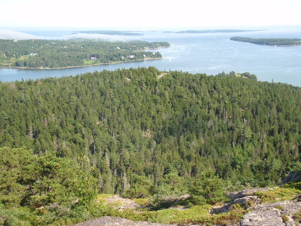 ModerateValley Peak Trail1.6 mi · 1.8 hr · 0.1 mi awayClimb to a cliffside view over Valley Cove and Somes Sound.
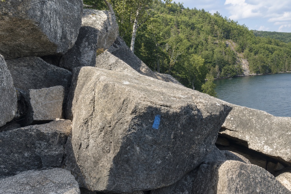 ChallengingValley Cove Trail1 mi · 1 hr · 0.5 mi awayA boulder scramble beneath cliffs beside Somes Sound.
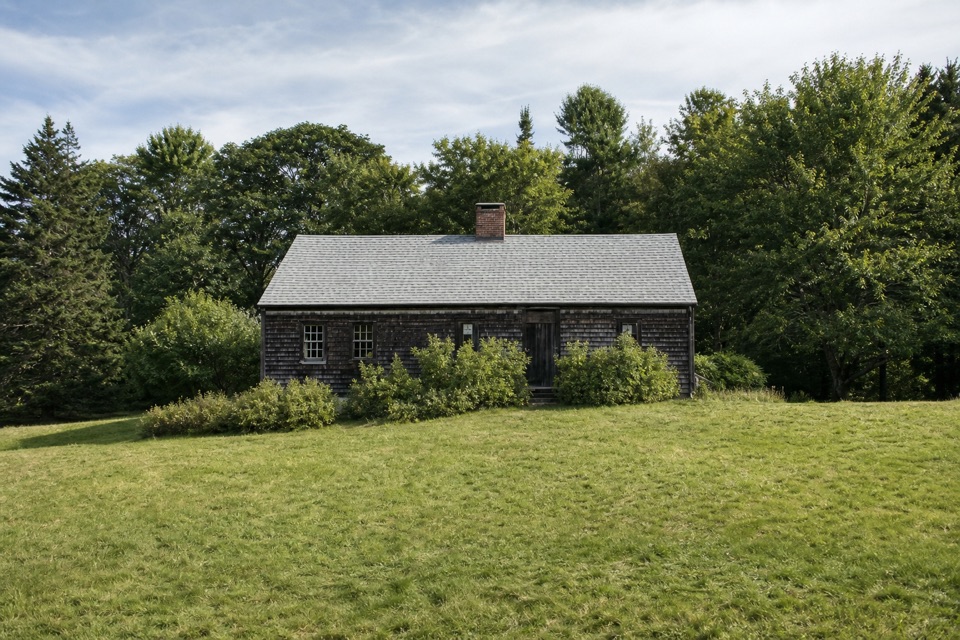 EasyCarroll Homestead Interpretive Trail0.1 mi · 30 min · 0.6 mi awayA few wooded minutes to an old Mount Desert family farm.
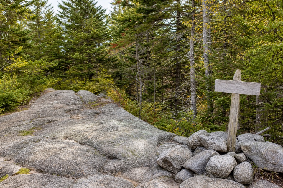 ModerateLedge Trail, St. Sauveur0.6 mi · 30 min · 1.2 mi awayA short, steep climb into Saint Sauveur’s wooded trail network.
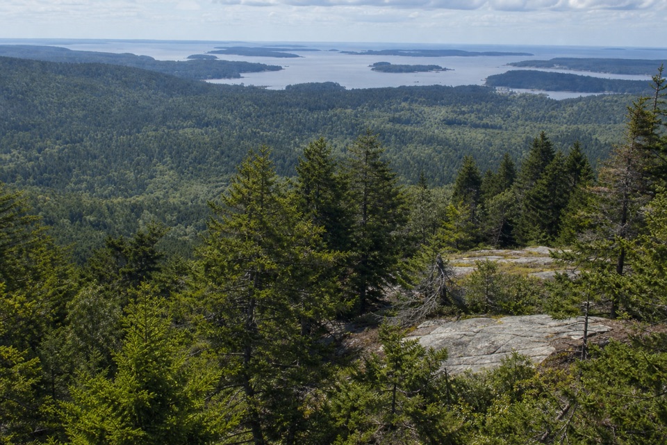 ModerateBeech Mountain South Ridge Trail0.8 mi · 36 min · 1.3 mi awayStone steps climb a steep ridge to Beech Mountain's fire tower.
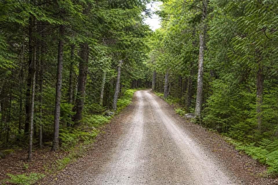 EasyWestern Mountain Connector0.9 mi · 21 min · 1.4 mi awayA short gravel link between Lurvey Spring and Western Mountain Road.
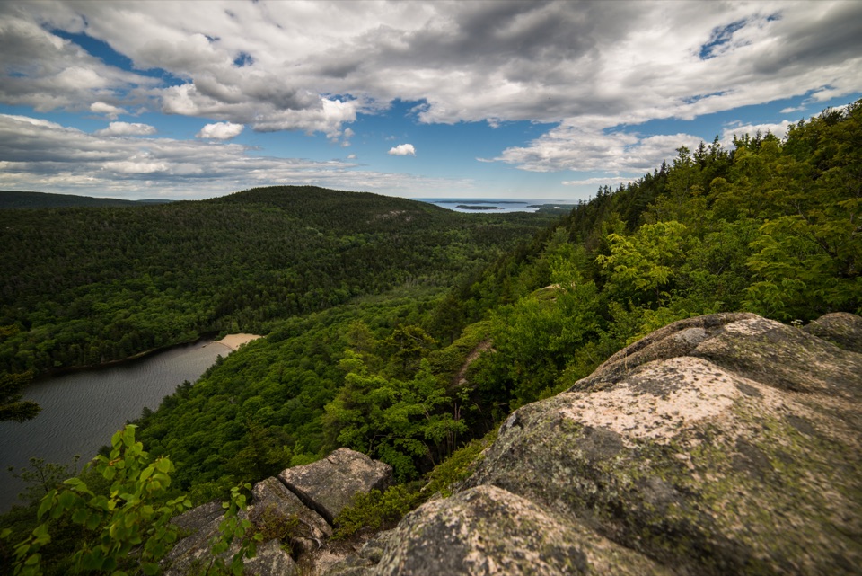 ChallengingBeech Cliff Trail2.1 mi · 3 hr · 1.5 mi awayIron ladders lead to granite cliffs above Echo Lake.
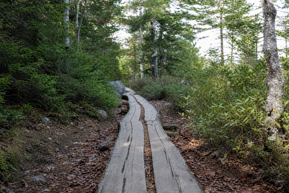 ModerateGolf Course Trail0.5 mi · 30 min · 1.5 mi awayA 1914 spur on Norumbega's wooded southwest flank.
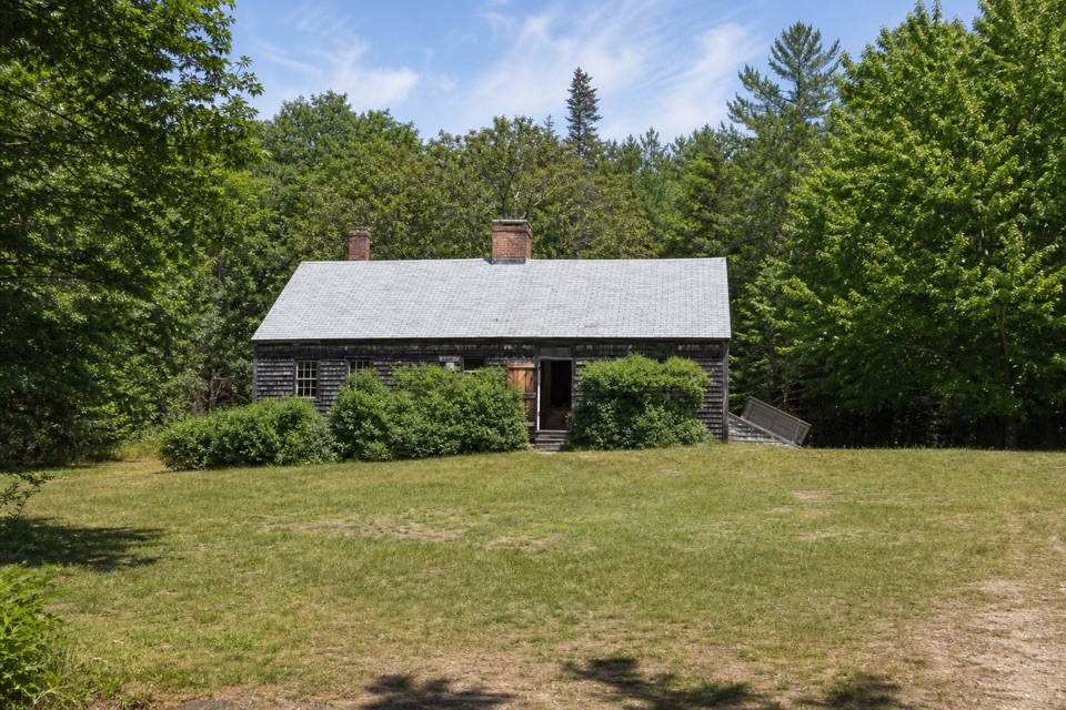 Sight · 0.6 mi awayCarroll HomesteadAn old farmhouse that brings Mount Desert Island's early years close.
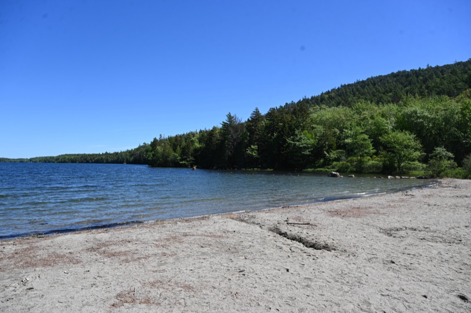 Beach · 1.5 mi awayEcho Lake BeachA sandy freshwater swim with a cliff view from shore.
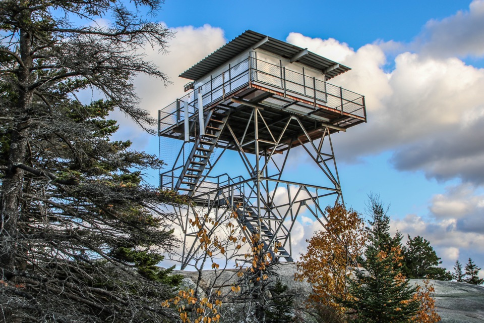 Sight · 1.6 mi awayBeech Mountain Fire TowerA steel lookout over Long Pond, ocean, and island peaks.
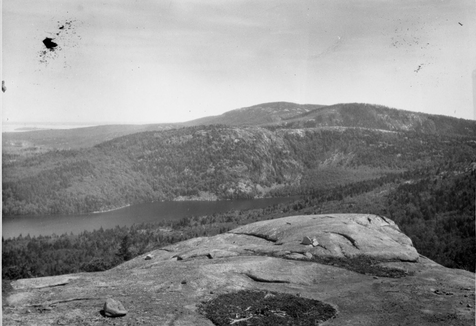 Sight · 1.7 mi awayAcadia MountainA rugged granite summit above Somes Sound
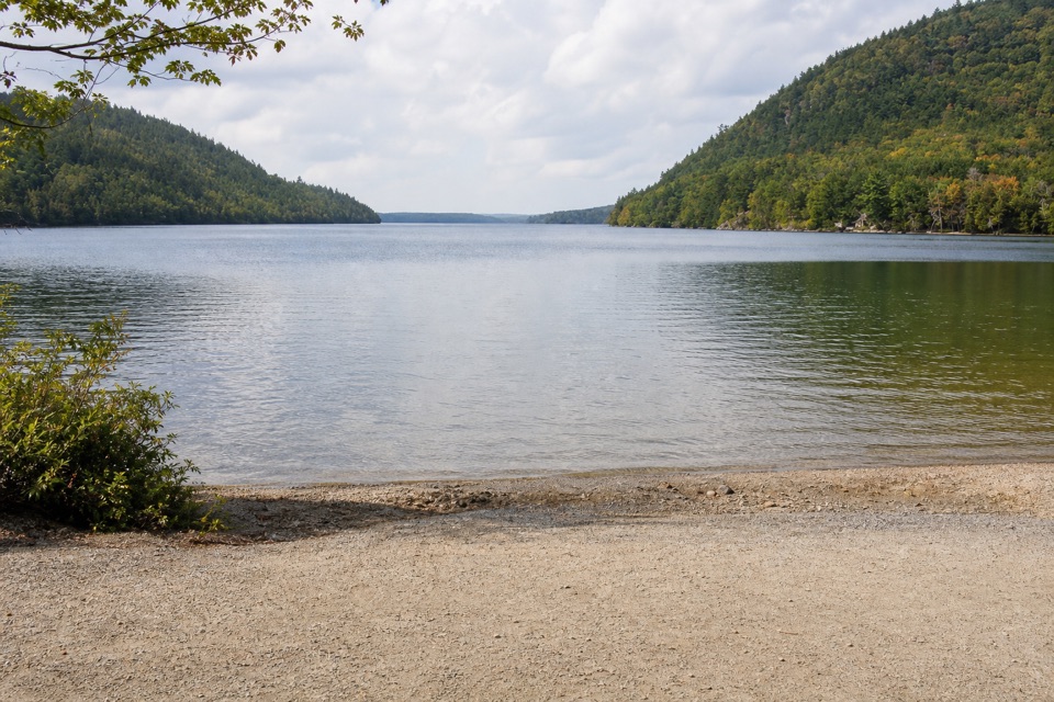 Sight · 1.7 mi awayLong Pond South Boat LaunchA four-mile lake for paddling, away from coastal wind and tides.
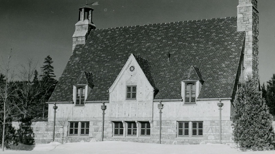 Sight · 1.8 mi awayBrown Mountain GatehouseA 1932 stone-and-brick gate marks the carriage-road entrance.
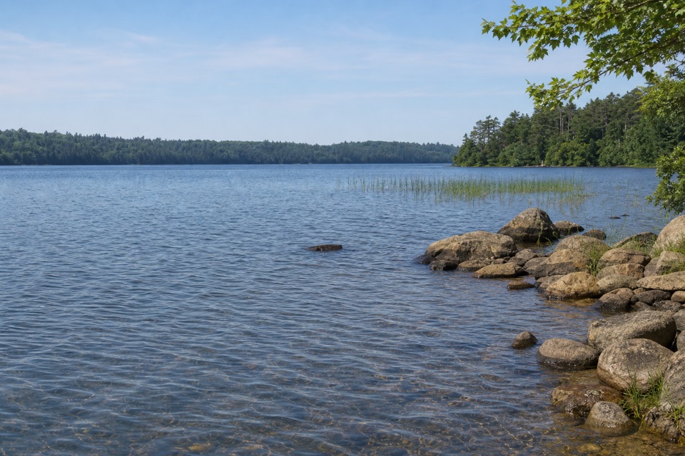 Sight · 2 mi awayIkes PointA paved launch puts canoes and kayaks straight onto Echo Lake.
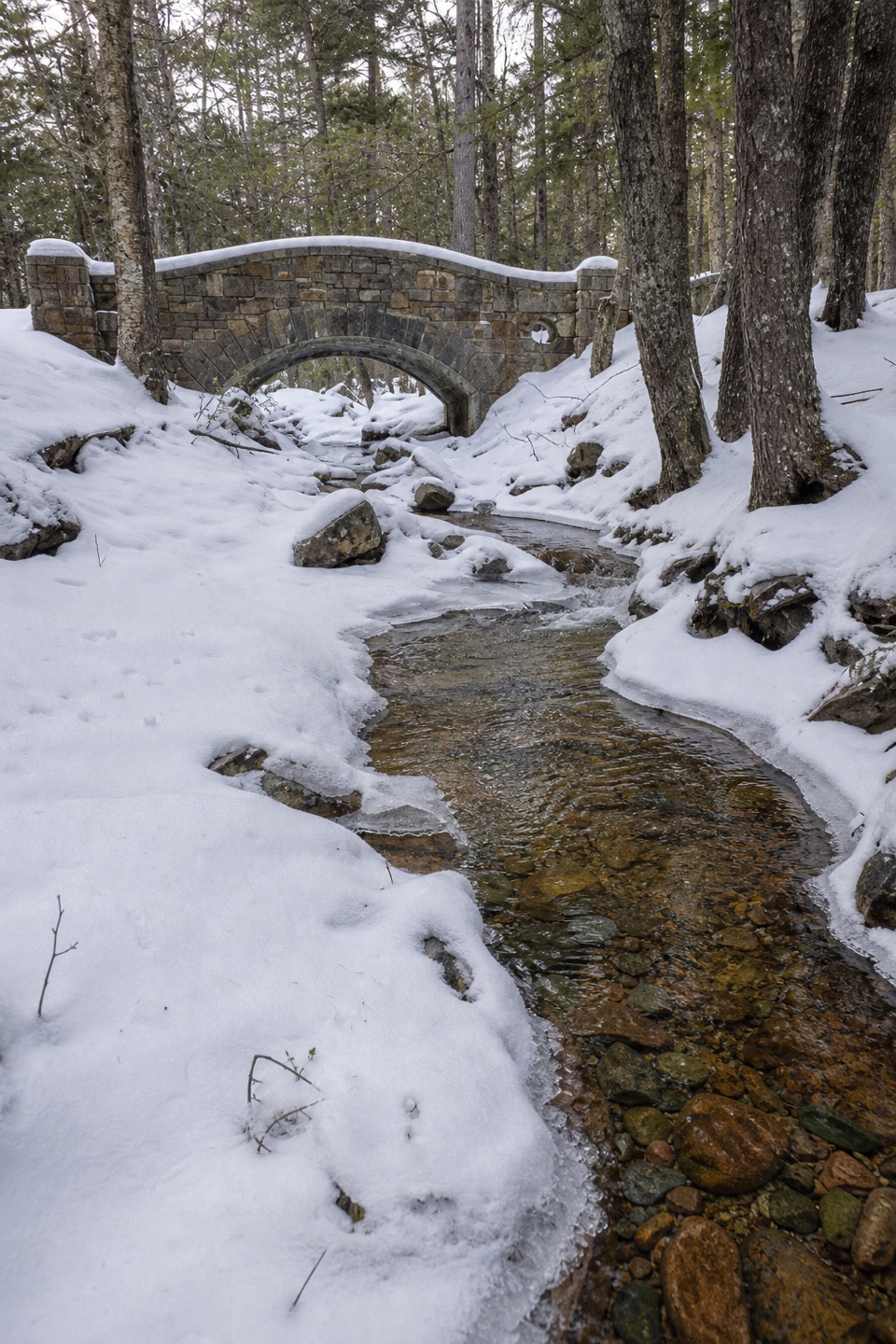 Sight · 2.4 mi awayHadlock Brook BridgeA small stone arch on the car-free Hadlock Loop.
Parkwolf’s Acadia ranking

The audio tour guide for the drive, plus offline maps, trails, and wildlife heatmaps for when the signal drops.





