Valley Peak Trail in Acadia National Park

Acadia National Park, ME

Valley Peak Trail

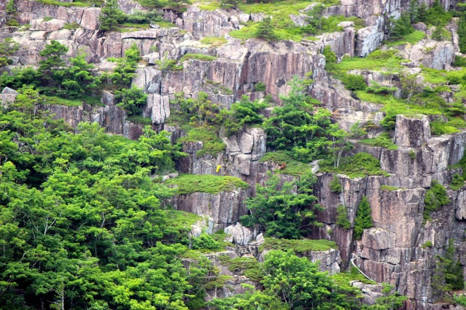
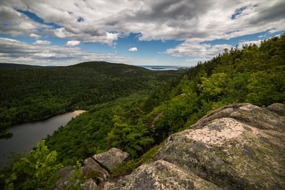
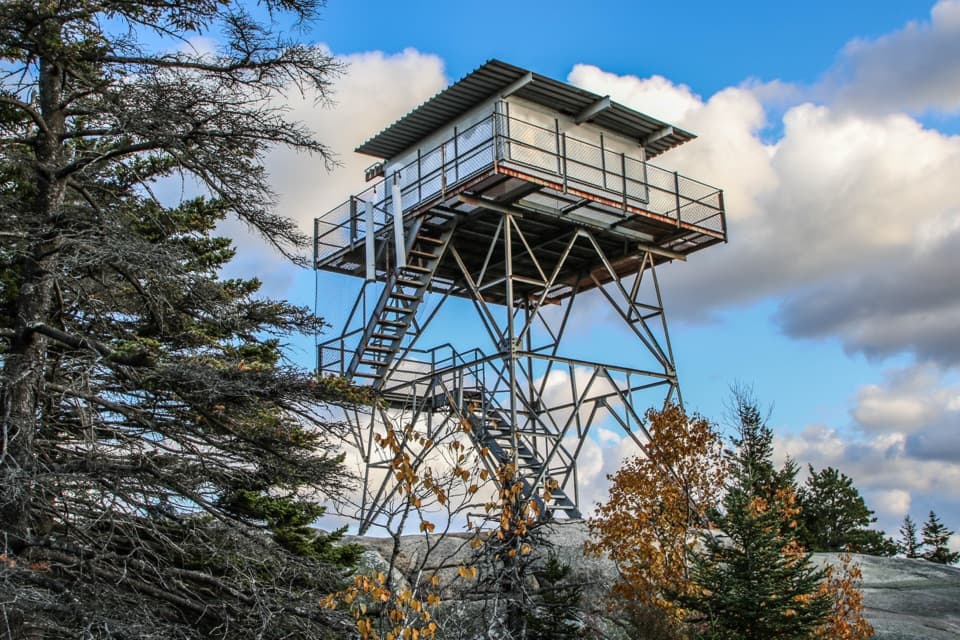
Climb to a cliffside view over Valley Cove and Somes Sound.

Photo: National Park Service
Length
1.6mi
Time
1.8hr
Elev. change
554ft
Difficulty
Moderate
  • Dogs allowed
  • High point 646 ft
  • #66 of 142 in Acadia

Hear the audio tour

Flying Mountain and Valley Cove

Overview

About Valley Peak Trail

Why go

  • A cliffside view over Valley Cove and Somes Sound.
  • A short route with a satisfying rocky climb.

Heads up

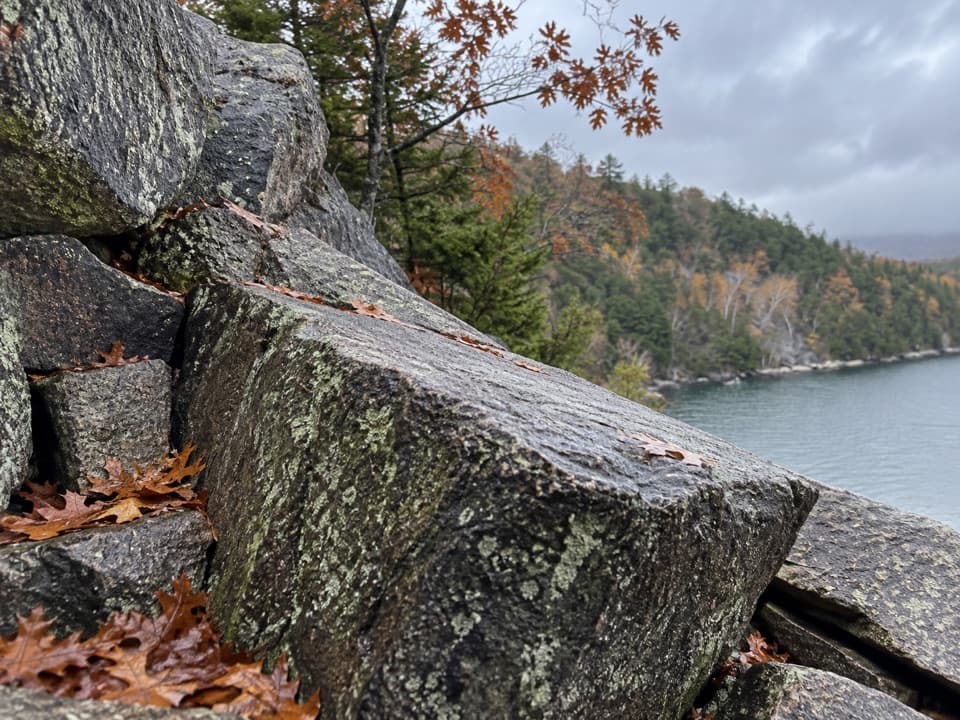
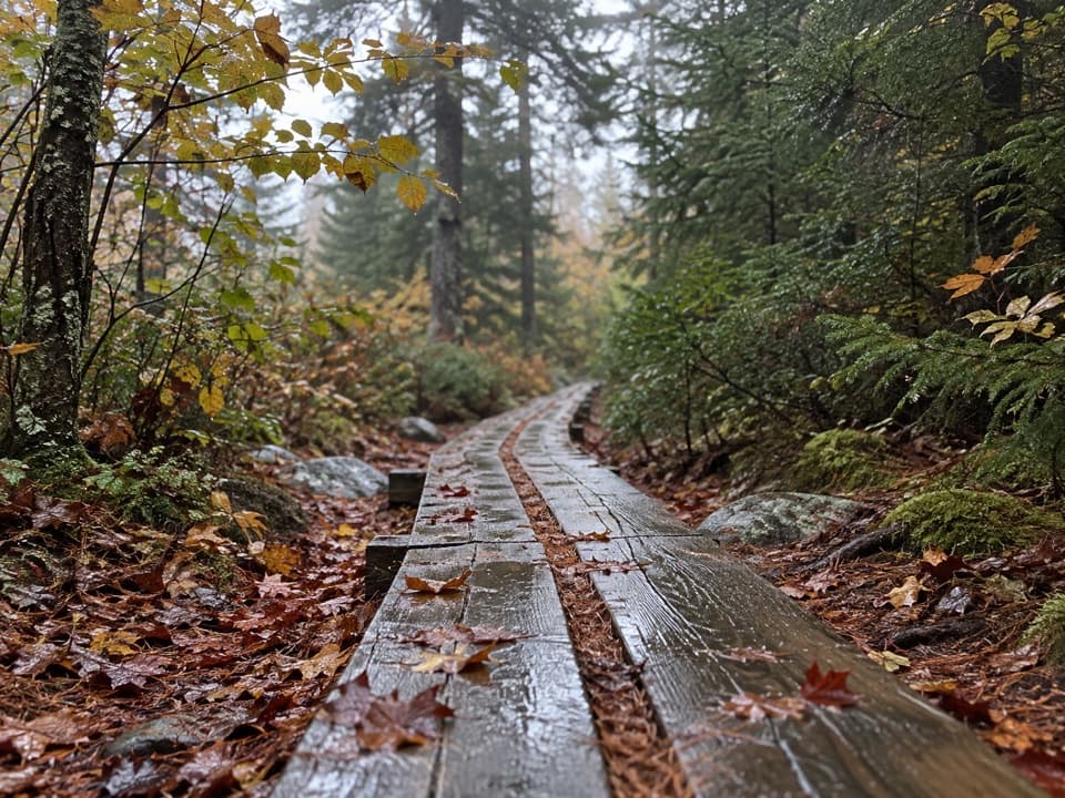
  • Steep, uneven granite gets slick when wet.
  • The named path is not a loop; plan the return or a trail connection.

Map & elevation

The route

Loading the Acadia map
Full map
Elevation92–646 ft
TrailheadValley Cove Trail junction (south end)44.30119, -68.31689
Keep this map with you offline in the Parkwolf app

Plan your hike

Before you go

Parking

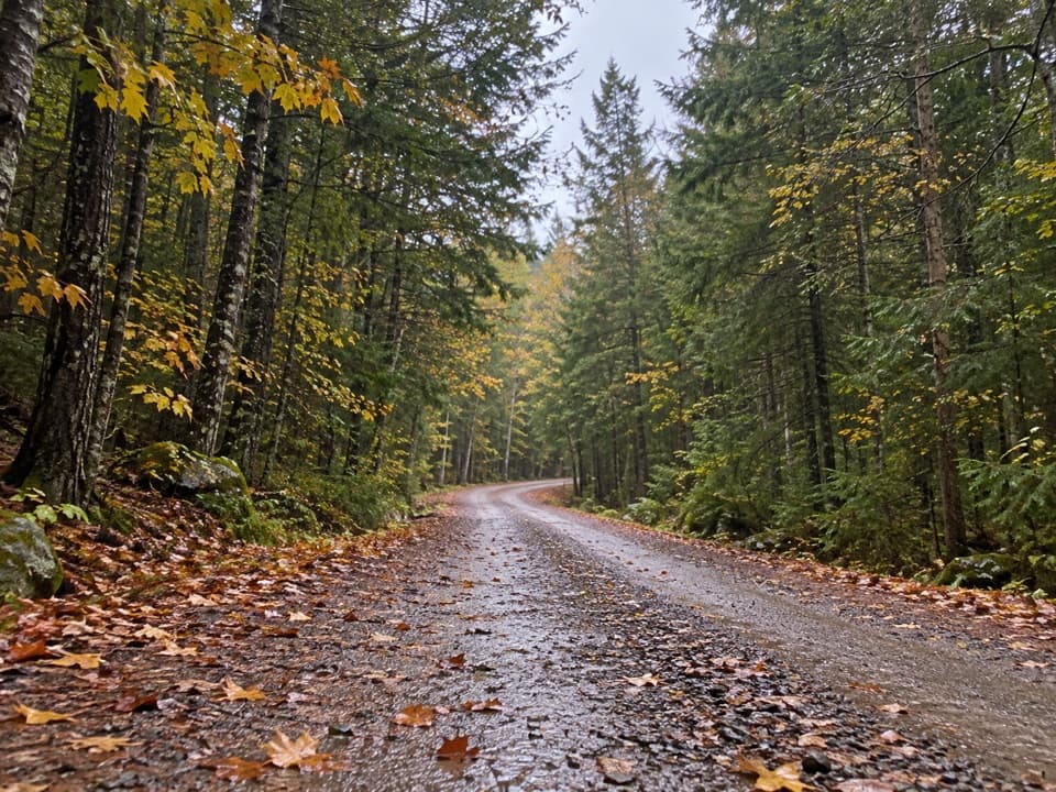
Use the NPS lot off Fernald Point Road for the Valley Cove Fire Road; published directions place it about 0.8 miles after the turn. Walk around the gate and follow the Valley Cove approach to the southern junction. The north end joins the St. Sauveur trail network, not a road, so plan your return or continue on another route. An Acadia entrance pass is required year-round.

Safety

Exposed cliffside granite and steep, uneven footing; rock can be slick when wet. Several nearby trail junctions are easy to confuse. Valley Cove cliff paths may close seasonally for peregrine nesting, so check current NPS alerts. The Man o’ War Brook waterfall spur is unmaintained and potentially hazardous.

3 active Acadia alerts

  • ClosureSouthern Ocean Path section closed for repairsThe southern section of Ocean Path is closed for repairs from the trailhead across from the Otter Point parking lot to the trail’s southern terminus.Official details
  • ClosureSchoodic Mountain Road closed for repairsSchoodic Mountain Road is closed for repairs from Schoodic Loop Road to the summit of Schoodic Head.Official details
See all 3 alerts
A park ranger sits on a dash-mounted phone, talking, as Parkwolf’s Tour Guide plays “Army Cutworm Moths: A Grizzly Bear Buffet” on Grand Loop Road below Dunraven Pass in Yellowstone
Parkwolf Tour GuideThe highest, rockiest slopes around here are a summer buffet for grizzly bears.

Acadia Tour Guide

Your drive to Valley Peak Trail, narrated.

Parkwolf is a GPS audio tour guide for Acadia National Park. As you drive, it chimes in with what’s ahead: hidden gems, upcoming stops, history, geology, and wildlife, right through your car’s speakers.

See the Acadia audio tour

Recorded for this trailhead

Flying Mountain and Valley Cove
0:00 / 0:26
“Flying Mountain's trailhead is ahead, for a short loop pairing Somes Sound views with the rocky shore at Valley Cove.”

Plays as you drive up to this trailhead in the Parkwolf Acadia Tour Guide.

More stories near here in the app

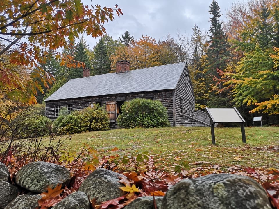
  • Carroll Homestead’s Seafaring Family
  • Somes Sound’s Ice-Carved Valley
  • The Flower That Makes Heat
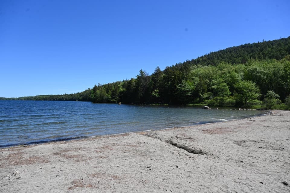
  • Echo Lake Beach Below Beech Cliff
  • 116 audio storiesacross Acadia’s roads, triggered by GPS as you drive
  • Wildlife heatmapsfor Bald Eagle, Peregrine Falcon, White-tailed Deer, and 13 more
  • Works offlinemaps, 142 trails, 72 places, and audio download before you lose signal
  • CarPlay readysimple controls built for the drive
★★★★★
“…As we drove through Acadia it gave us a tour, which was really cool. Lots of great info about the parks and how to avoid the crowds. It’s a great travel companion!”
MyMysteryChicaApp Store review
Download Parkwolf on the App StoreGet Parkwolf on Google Play

4.7 from 8,600+ ratings

Trail guide

Hiking Valley Peak Trail

A short point-to-point climbValley Peak Trail is a rocky, 1.6-mile walk between the Valley Cove Trail junction and the St.

Valley Peak Trail is a rocky, 1.6-mile walk between the Valley Cove Trail junction and the St. Sauveur trail network, climbing to a cliffside look over Valley Cove and Somes Sound. The National Park Service lists it at 1.6 miles but doesn’t say whether that’s one way. The mapped named path runs about 1.47 miles between its junctions, so this guide treats the listing as one way; retrace it for roughly 3.2 miles. This is different from the 3.2-mile Valley Peak Loop, which adds the Valley Cove Trail and fire-road return.

What the route feels likeFrom the southern junction, the path climbs sharply from the cove through woods and over rough…

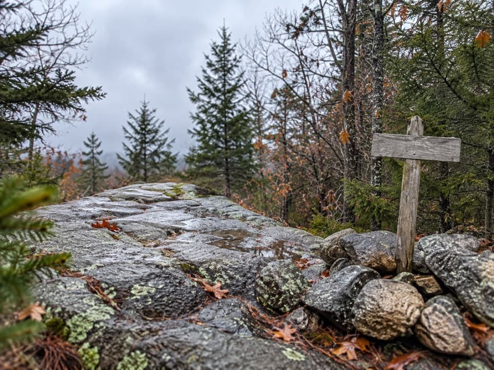
From the southern junction, the path climbs sharply from the cove through woods and over rough granite, then reaches open rock near the high point before descending toward the north connection. You gain roughly 550 feet before dropping back down. It’s a short walk with real uphill work, uneven footing and a few exposed places. Junctions in this trail network can be confusing, so keep a map handy and follow the route rather than every spur with “Valley Peak” in its name.

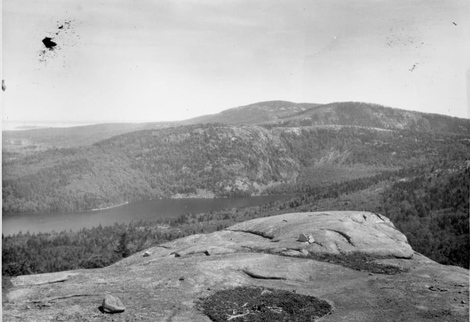
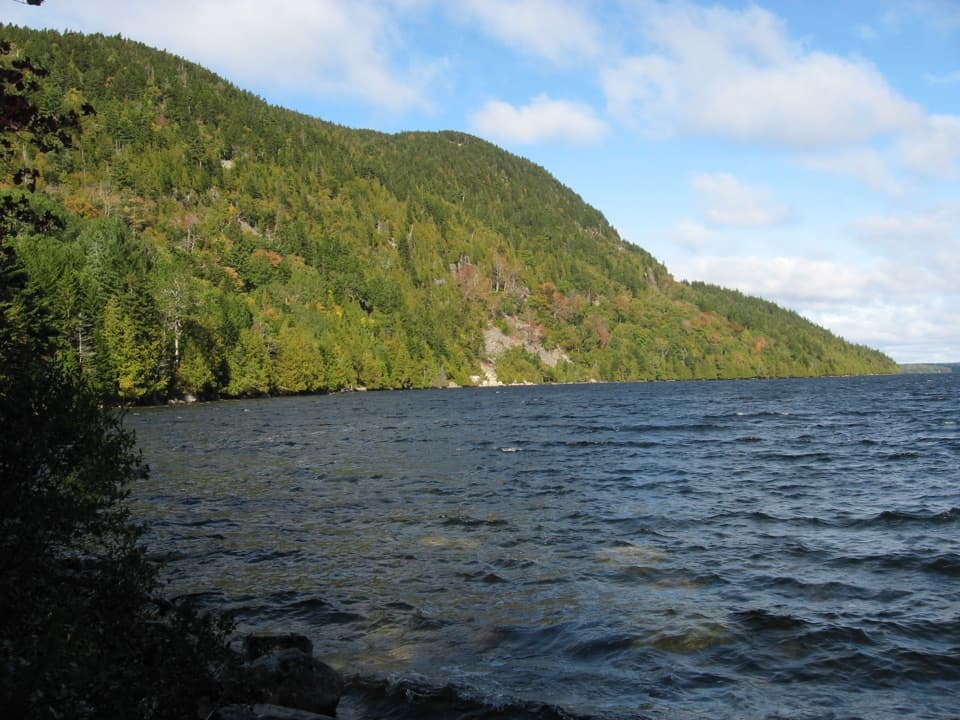
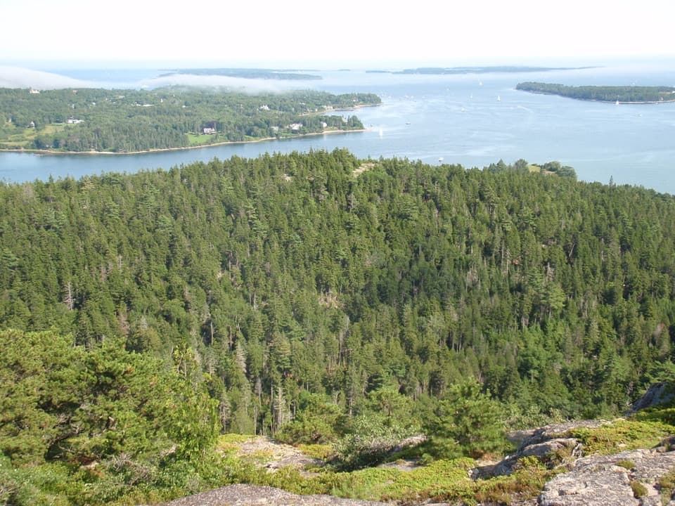
The view at Valley PeakThe payoff is the cliff opening above Valley Cove, with the long water of Somes Sound beyond it.

The payoff is the cliff opening above Valley Cove, with the long water of Somes Sound beyond it. From Valley Peak, look south toward Southwest Harbor and Greening Island. The view is worth pausing for; include a bit of the rocky ledge and trees in a photo so the water doesn’t flatten into a blue strip.

Access and conditionsFor the Valley Cove end, the documented access is the National Park Service lot off Fernald…

For the Valley Cove end, the documented access is the National Park Service lot off Fernald Point Road. Walk around the gate onto Valley Cove Fire Road, then follow the Valley Cove approach to the south junction. The north end meets the St. Sauveur trail network rather than a road, so plan a return or a connection to another route. An Acadia entrance pass is required year-round. There’s no food or drinking water service identified at this access, so bring what you need.

Bare granite near the overlook is slick when wet, and the cliff edge is exposed. Valley Cove cliff paths can close seasonally to protect nesting peregrines; check current park alerts before setting out. Pets are allowed on a leash no longer than six feet, but the steep, rocky footing may be a poor fit for many dogs.

A bit of Valley Cove historyValley Cove sheltered British warships, which replenished drinking water at Man o’ War Brook.

Valley Cove sheltered British warships, which replenished drinking water at Man o’ War Brook. The small waterfall sits off the named route on an unmaintained, potentially hazardous spur; it’s not a casual add-on to this hike.

Wildlife

Wildlife in Acadia

All Acadia wildlife maps

Sighting maps show where each species has been reported across Acadia. Wildlife moves, so no sighting is guaranteed.

Keep exploring

Near Valley Peak Trail

See it all on the map

Trails that start nearby

Places near the trailhead

Parkwolf’s Acadia ranking

Top-rated trails in Acadia

All 142 trails
  1. 1Beehive Loop TrailChallenging · 1.4 mi
  2. 2Precipice TrailChallenging · 2.1 mi
  3. 3Jordan Pond PathModerate · 3.3 mi
  4. 4Bubbles TrailModerate · 1.5 mi
  5. 5Ocean PathEasy · 2.2 mi
  6. 6Cadillac Mountain South Ridge TrailChallenging · 7.8 mi

Take Parkwolf to Acadia.

The audio tour guide for the drive, plus offline maps, trails, and wildlife heatmaps for when the signal drops.

4.7 from 8,600+ ratings

Download Parkwolf on the App StoreGet Parkwolf on Google Play