Beech Mountain Loop Trail in Acadia National Park

#13 of 142 trails in Acadia

Acadia National Park, ME

Beech Mountain Loop Trail

A short, steep loop to Acadia’s historic fire tower.

Photo: National Park Service
Length
1.2mi
Time
1.3hr
Elev. change
410ft
Difficulty
Moderate
  • Loop
  • Dogs allowed
  • High point 830 ft

Hear the audio tour

Beech Mountain’s Airlifted Fire Tower

Overview

About Beech Mountain Loop Trail

Why go

  • A rare island fire tower and two distinct panoramas.

Heads up

  • Steep, uneven granite makes the descent a poor wet-weather choice.

Map & elevation

The route

Loading the Acadia map
Full map
Elevation420–830 ft
TrailheadBeech Mountain parking lot44.31526, -68.34348
Keep this map with you offline in the Parkwolf app

Plan your hike

Before you go

Parking

Beech Mountain parking lot at the end of Beech Hill Road. Start at the northwest-corner trail marker near the restrooms. The lot also serves the Beech Mountain and Cliffs trail system and can be busy on weekends; if it is full, choose another trail rather than parking elsewhere.

Safety

The loop includes steep bare granite and rocky steps; the descent is not recommended when wet. Dogs must be leashed no longer than six feet and cannot go on the fire tower.

3 active Acadia alerts

  • ClosureEastern Beech Mountain Loop Trail section closedMentions this trailThe eastern section of Beech Mountain Loop Trail is closed for repairs from a junction just beyond the parking lot to just below the summit fire tower. - The closure began September 21.Official details
  • ClosureSouthern Ocean Path section closed for repairsThe southern section of Ocean Path is closed for repairs from the trailhead across from the Otter Point parking lot to the trail’s southern terminus.Official details
See all 3 alerts
A park ranger sits on a dash-mounted phone, talking, as Parkwolf’s Tour Guide plays “Army Cutworm Moths: A Grizzly Bear Buffet” on Grand Loop Road below Dunraven Pass in Yellowstone
Parkwolf Tour GuideThe highest, rockiest slopes around here are a summer buffet for grizzly bears.

Acadia Tour Guide

Your drive to Beech Mountain Loop Trail, narrated.

Parkwolf is a GPS audio tour guide for Acadia National Park. As you drive, it chimes in with what’s ahead: hidden gems, upcoming stops, history, geology, and wildlife, right through your car’s speakers.

See the Acadia audio tour

Recorded for this trailhead

Beech Mountain’s Airlifted Fire Tower
0:00 / 0:25
“You're approaching Beech Mountain's parking area, the start of a rocky climb to the island's last fire tower.”

Plays as you drive up to this trailhead in the Parkwolf Acadia Tour Guide.

More stories near here in the app

  • Echo Lake Beach Below Beech Cliff
  • Acadia Mountain’s Summit Loop
  • Ikes Point on Echo Lake
  • Carroll Homestead’s Seafaring Family
  • 116 audio storiesacross Acadia’s roads, triggered by GPS as you drive
  • Wildlife heatmapsfor Bald Eagle, Peregrine Falcon, White-tailed Deer, and 13 more
  • Works offlinemaps, 142 trails, 72 places, and audio download before you lose signal
  • CarPlay readysimple controls built for the drive
★★★★★
“…As we drove through Acadia it gave us a tour, which was really cool. Lots of great info about the parks and how to avoid the crowds. It’s a great travel companion!”
MyMysteryChicaApp Store review
Download Parkwolf on the App StoreGet Parkwolf on Google Play

4.7 from 8,600+ ratings

Trail guide

Hiking Beech Mountain Loop Trail

A short loop with a real summitBeech Mountain Loop Trail is a 1.

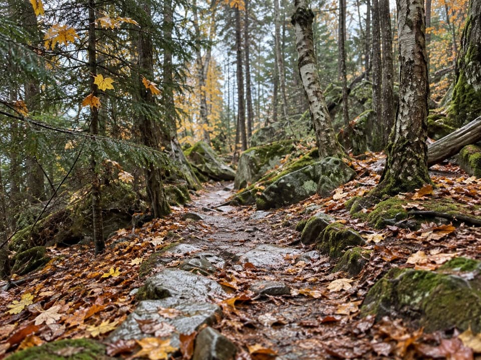
Beech Mountain Loop Trail is a 1.2-mile circuit from the northwest side of Beech Mountain parking lot to the summit fire tower and back. Most hikers take 1 to 1.5 hours. The park calls it moderate, but the ground asks more of you than the mileage suggests: granite underfoot, steps on the climb, and a steep slabby descent. Choose it for two different outlooks over Long Pond and the east side of Mount Desert Island; skip it if uneven rock or wet granite will make the day uncomfortable.

Take the longer way upStart at the trail marker in the northwest corner of the lot.

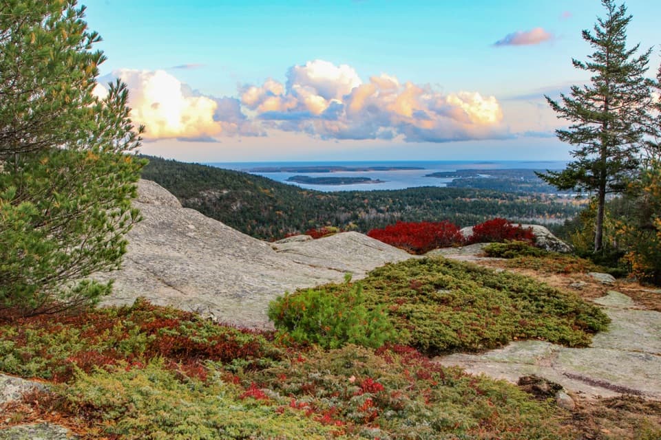
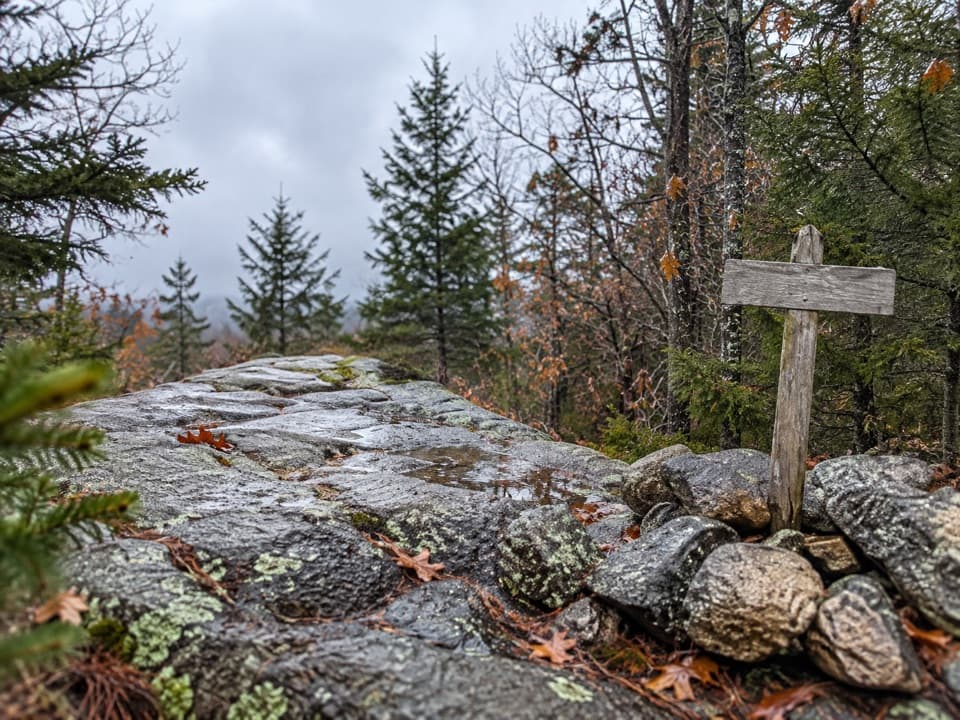
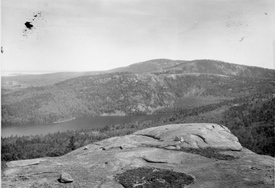
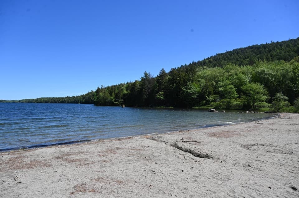
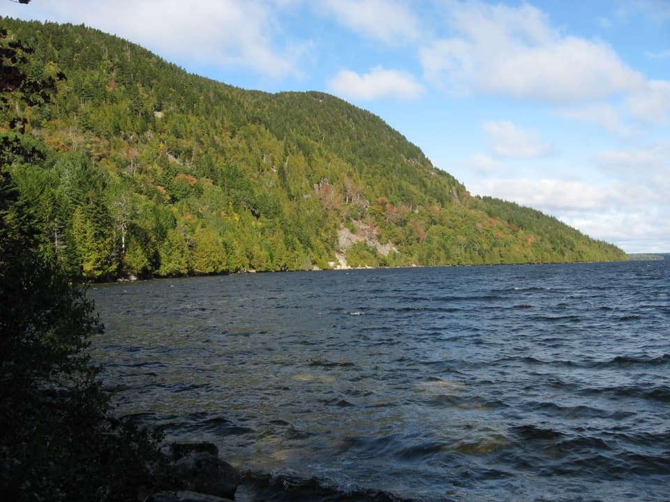
Start at the trail marker in the northwest corner of the lot. The first stretch climbs gradually through forest, then gets rockier as you gain height. At the first junction, take the right-hand, longer route toward the summit. Around half a mile in, the trees open onto granite slabs with Long Pond below and Mansell Mountain across the water. This is a worthwhile stop even before the tower, and one of the route's best places to see late light. For a photo, include the bare granite at the front of the frame so the pond and mountain have some scale.

The tower and the way backAbout a tenth of a mile beyond the slabs, keep left at the junction for the summit.

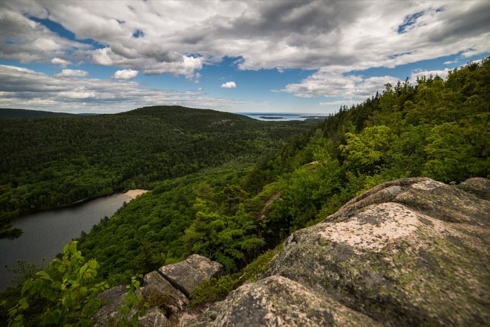
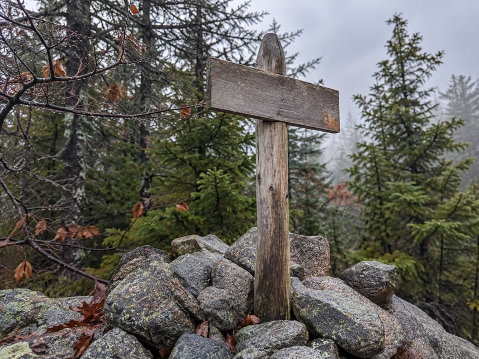
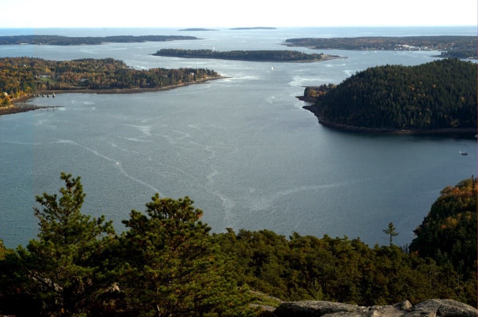
About a tenth of a mile beyond the slabs, keep left at the junction for the summit. Granite and wooden steps take you toward the tower; just below it, keep right for the top. From the first platform, the view turns toward Somes Sound, Echo Lake, Acadia Mountain, and peaks on the island's east side. Tower access can vary with staffing, so treat the granite outlooks as the sure payoff. Dogs may hike on a leash no longer than six feet but cannot go on the tower.

After the summit, retrace to the junction below it and follow the return route toward the parking area. The loop drops over steep bare granite before re-entering the woods, with another short, rocky descent near the lot. That section is a poor choice in wet weather; take the slabs slowly and don't treat this as an easy walk just because it is short.

A lookout built to watch firesThe fire tower is more than a summit prop.

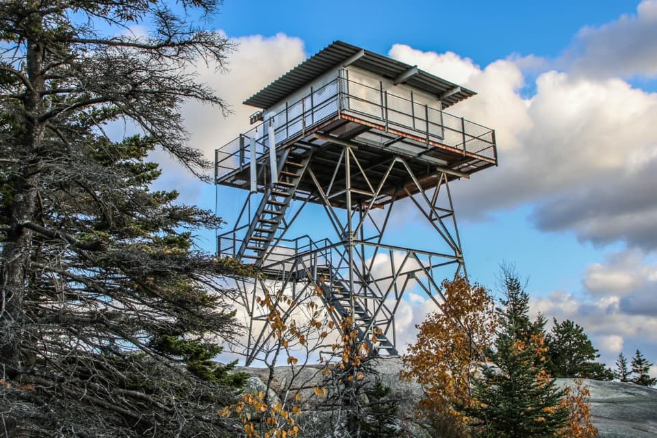
The fire tower is more than a summit prop. Civilian Conservation Corps crews built the original wooden lookout, which was used from 1941 into the mid-1950s and helped with fire warnings during the 1947 blaze on Mount Desert Island. When it deteriorated, a steel tower was flown to the summit by helicopter in 1960 in an effort called “Operation Beech”; it reopened in 1962 and was last staffed in 1976. It is the only remaining official fire tower on Mount Desert Island and one of more than 140 still standing in Maine.

Granite shaped by iceThe open slabs are part of a much older island story.

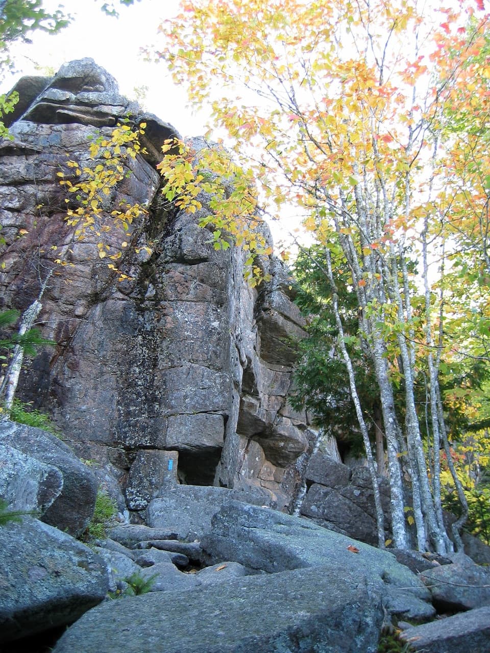
The open slabs are part of a much older island story. Mount Desert Island's granite bedrock formed about 420 million years ago, then glaciers rounded and scraped the landscape. Here, the trees give way to smooth expanses of rock, so the geology is right under your boots rather than hidden in a cliff face.

Find the right startDrive to the Beech Mountain parking lot at the end of Beech Hill Road and use the…

Drive to the Beech Mountain parking lot at the end of Beech Hill Road and use the northwest-corner trailhead; restrooms are near the lot, though they are not accessible. The shared Beech Mountain and Cliffs trail system is busy on weekend days, and if the lot is full, choose another hike instead of parking elsewhere. The trail is listed as available year-round, and no reservation or separate activity fee is required, but an Acadia entrance pass is. The route has no public transportation to its trailhead.

Wildlife

Wildlife in Acadia

All Acadia wildlife maps

Sighting maps show where each species has been reported across Acadia. Wildlife moves, so no sighting is guaranteed.

Keep exploring

Near Beech Mountain Loop Trail

See it all on the map

Trails that start nearby

Places near the trailhead

Parkwolf’s Acadia ranking

Top-rated trails in Acadia

All 142 trails
  1. 1Beehive Loop TrailChallenging · 1.4 mi
  2. 2Precipice TrailChallenging · 2.1 mi
  3. 3Jordan Pond PathModerate · 3.3 mi
  4. 4Bubbles TrailModerate · 1.5 mi
  5. 5Ocean PathEasy · 2.2 mi
  6. 6Cadillac Mountain South Ridge TrailChallenging · 7.8 mi

Take Parkwolf to Acadia.

The audio tour guide for the drive, plus offline maps, trails, and wildlife heatmaps for when the signal drops.

4.7 from 8,600+ ratings

Download Parkwolf on the App StoreGet Parkwolf on Google Play