Parking
Use the small roadside parking area at the Ledge Trail access on ME 102. It is easy to drive past; the separate Acadia Mountain Trailhead is a different access farther north.
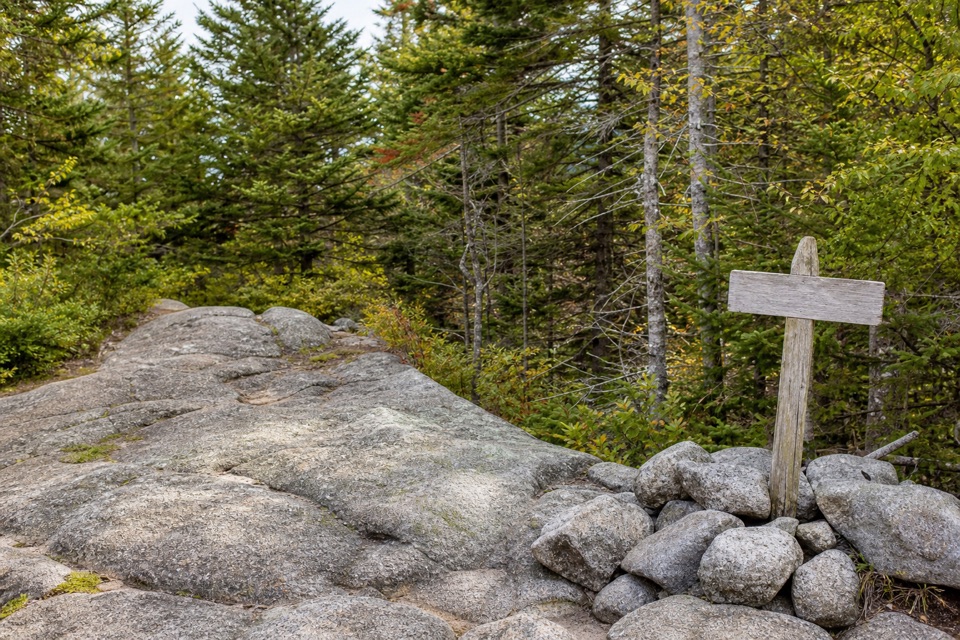
Acadia National Park, ME
A short, steep climb into Saint Sauveur’s wooded trail network.
Overview
Map & elevation
Plan your hike

The highest, rockiest slopes around here are a summer buffet for grizzly bears.
Acadia Tour Guide
Parkwolf is a GPS audio tour guide for Acadia National Park. As you drive, it chimes in with what’s ahead: hidden gems, upcoming stops, history, geology, and wildlife, right through your car’s speakers.
Recorded for this area
Echo Lake Beach Below Beech Cliff“Echo Lake Beach is coming up, a small freshwater swimming spot with Beech Cliff rising across the water. I'd choose it for a lake swim rather than a long beach walk; the sandy strip is small.”
Plays on the road 0.3 mi from the trailhead in the Parkwolf Acadia Tour Guide.
More stories near here in the app
“…As we drove through Acadia it gave us a tour, which was really cool. Lots of great info about the parks and how to avoid the crowds. It’s a great travel companion!”


Trail guide
Ledge Trail, St. Sauveur is a point-to-point connector from the roadside access on ME 102 to the Saint Sauveur Mountain Trail. The National Park Service lists 0.6 mile (1.0 km) one way; the mapped path measures about 0.49 mile, so treat 0.6 as the official estimate rather than an exact GPS distance. Allow about 30 minutes uphill. Walking back to the road roughly doubles the effort.
The trail climbs almost immediately through forest over uneven granite ledges, roots and crumbly ground. The grade eases toward the upper junction, but this is still a rough, steep walk rather than a level connector. Take care over the rock and rooted sections, especially on the descent.
The named trail finishes at a junction with Saint Sauveur Mountain Trail; it does not reach the summit or an open viewpoint. The wooded summit is roughly another 0.2 mile along the connected trail. Open views toward Somes Sound and Southwest Harbor are farther along the Valley Peak route, a longer outing with several intersections. Those miles and viewpoints are not part of Ledge Trail’s 0.6-mile figure.
Start at the small roadside parking area just off ME 102; it is easy to drive past. This is a one-way trail, so either return over the same steep route or plan a mapped connection into the larger trail network. Dogs are allowed on most Acadia trails and must stay on a leash no longer than six feet.
Wildlife
 130 sightingsBald EagleMost seen around noonSighting map
 21 sightingsPeregrine FalconMost seen around 10 AMSighting map
 396 sightingsWhite-tailed DeerMost seen around 7 PMSighting map
 305 sightingsPorcupineMost seen around 7 PMSighting map
 201 sightingsBeaverMost seen around 7 PMSighting map
 34 sightingsMinkMost seen around 7 PMSighting map
Sighting maps show where each species has been reported across Acadia. Wildlife moves, so no sighting is guaranteed.
Keep exploring
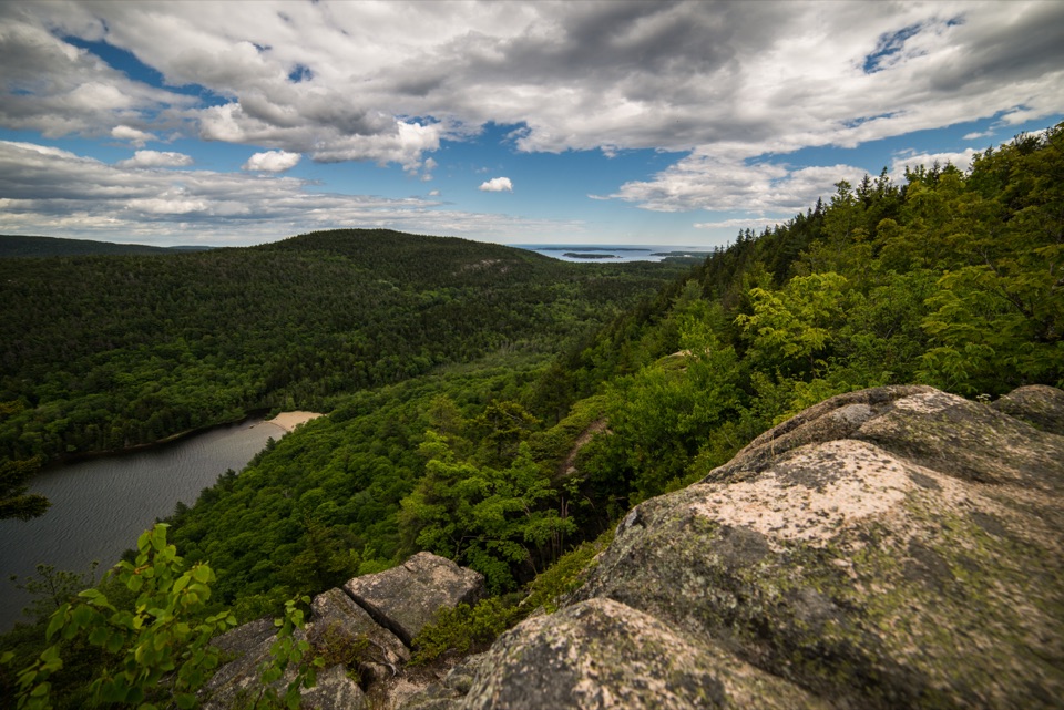 ChallengingBeech Cliff Trail2.1 mi · 3 hr · 0.3 mi awayIron ladders lead to granite cliffs above Echo Lake.
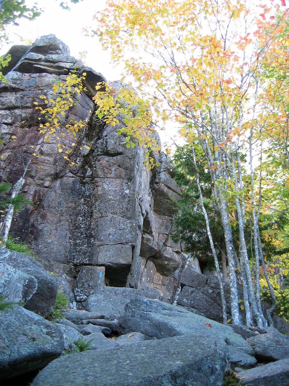 ModerateCanada Cliff Trail2 mi · 1.5 hr · 0.6 mi awayReach Beech Cliff without the iron ladders.
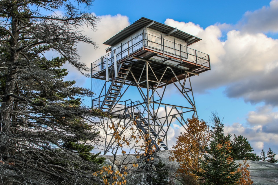 ModerateBeech Mountain Loop Trail1.2 mi · 1.3 hr · 0.6 mi awayA short, steep loop to Acadia’s historic fire tower.
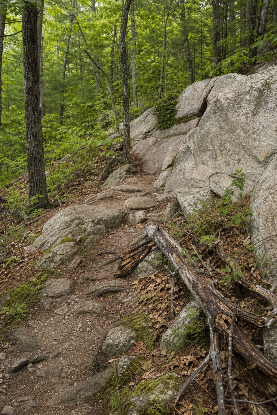 ModerateValley Trail1.6 mi · 1.3 hr · 0.6 mi awayA boulder-strewn forest descent beneath Beech Mountain.
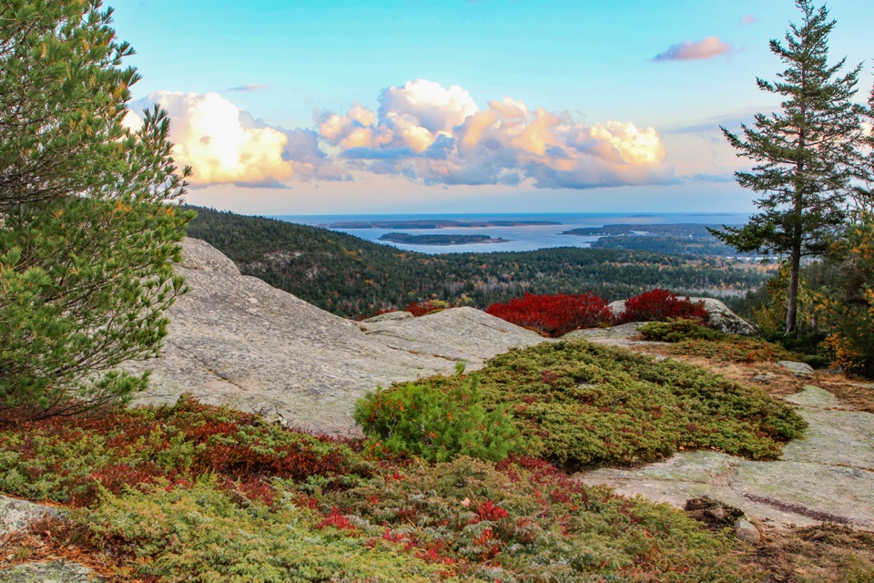 ModerateBeech Cliff Loop Trail0.6 mi · 36 min · 0.6 mi awayA quick rocky lookout over Echo Lake, reached without ladders.
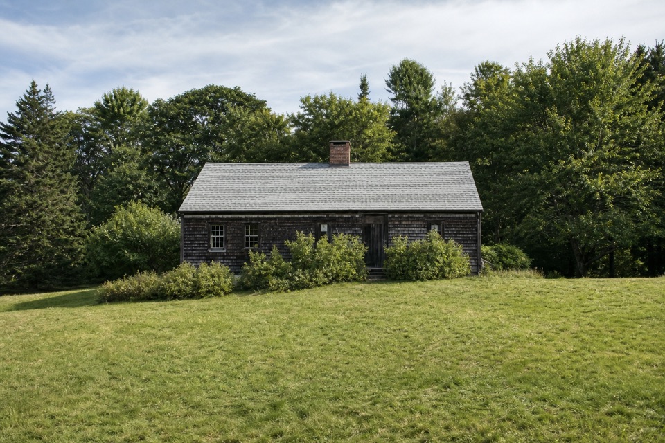 EasyCarroll Homestead Interpretive Trail0.1 mi · 30 min · 0.7 mi awayA few wooded minutes to an old Mount Desert family farm.
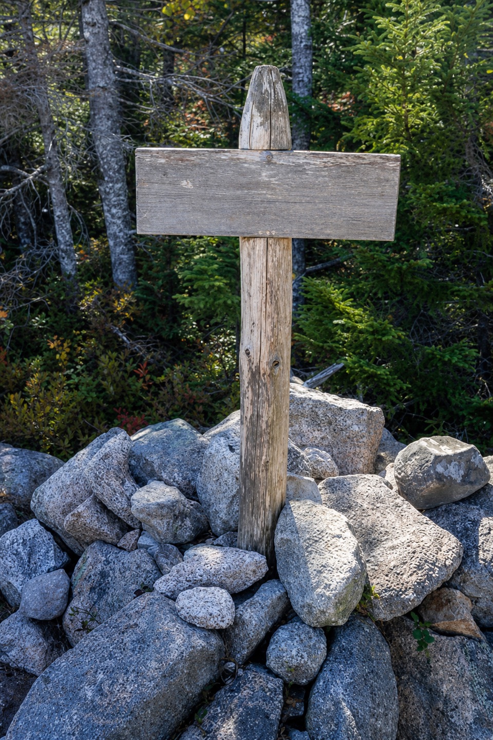 ModerateSaint Sauveur Mountain Trail2.6 mi · 2.5 hr · 0.8 mi awayA forested summit walk with occasional Echo Lake views.
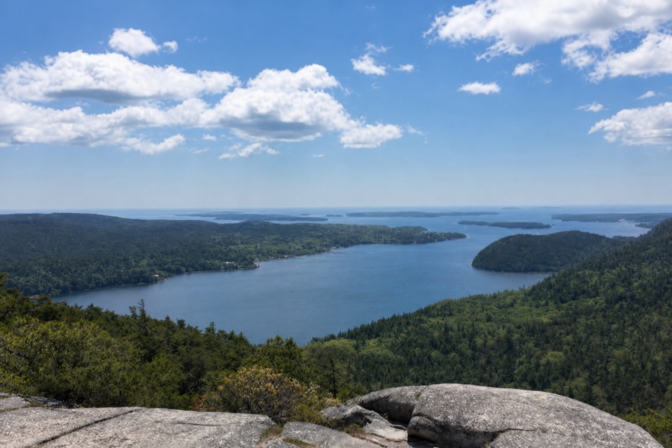 ModerateAcadia Mountain Trail2.8 mi · 2.5 hr · 0.8 mi awayGranite scrambling earns a wide view over Somes Sound.
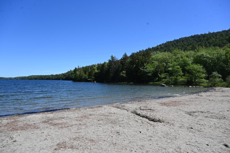 Beach · 0.3 mi awayEcho Lake BeachA sandy freshwater swim with a cliff view from shore.Sight · 0.6 mi awayBeech Mountain Fire TowerA steel lookout over Long Pond, ocean, and island peaks.
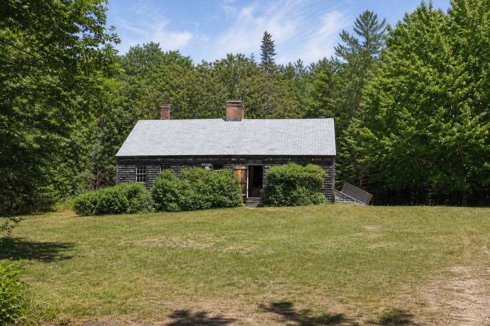 Sight · 0.7 mi awayCarroll HomesteadAn old farmhouse that brings Mount Desert Island's early years close.
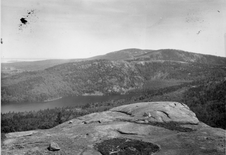 Sight · 0.9 mi awayAcadia MountainA rugged granite summit above Somes Sound
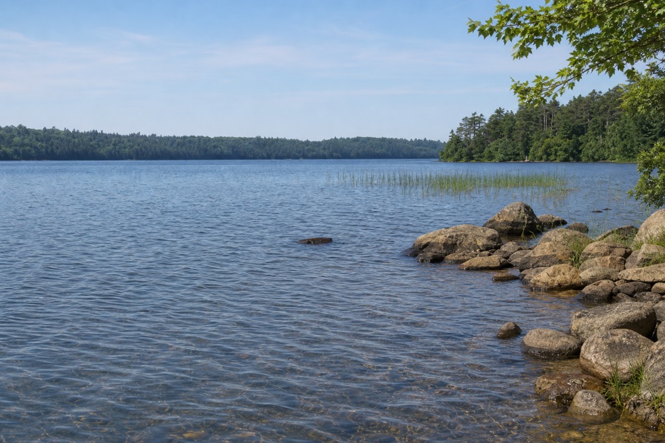 Sight · 1 mi awayIkes PointA paved launch puts canoes and kayaks straight onto Echo Lake.
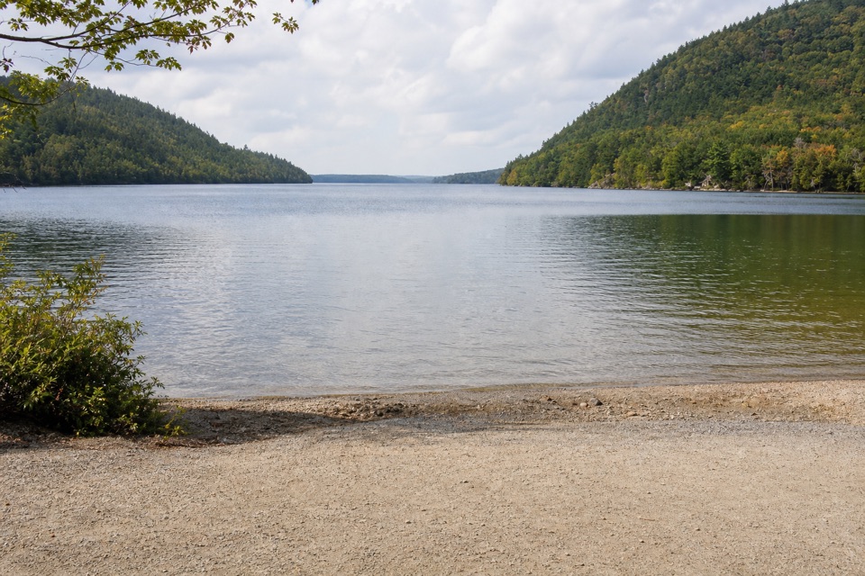 Sight · 1.2 mi awayLong Pond South Boat LaunchA four-mile lake for paddling, away from coastal wind and tides.
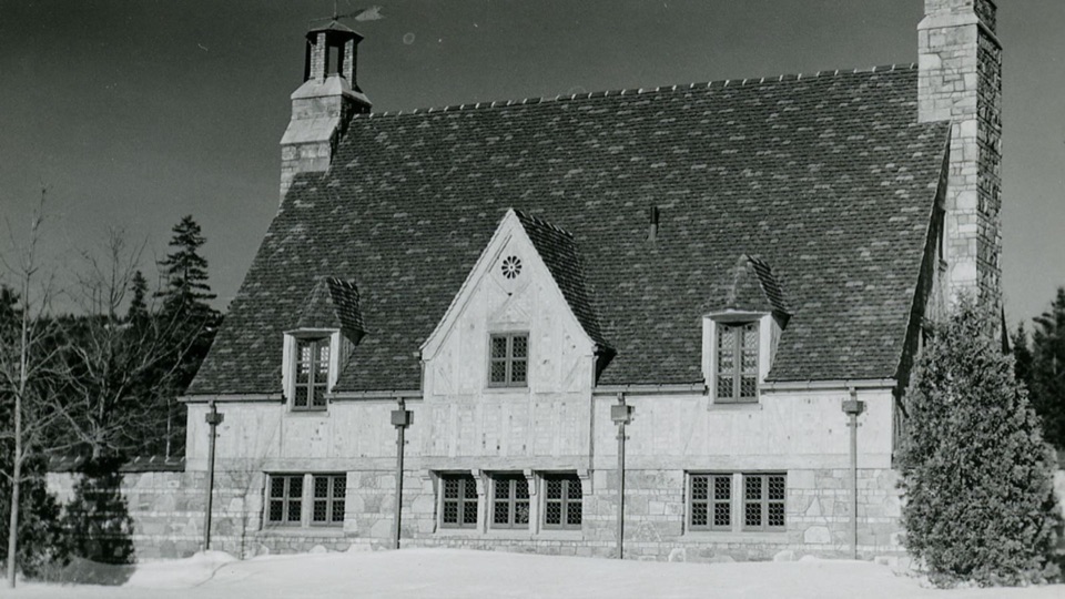 Sight · 2.3 mi awayBrown Mountain GatehouseA 1932 stone-and-brick gate marks the carriage-road entrance.
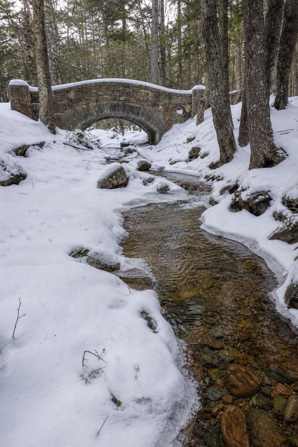 Sight · 2.5 mi awayHadlock Brook BridgeA small stone arch on the car-free Hadlock Loop.
Parkwolf’s Acadia ranking

The audio tour guide for the drive, plus offline maps, trails, and wildlife heatmaps for when the signal drops.





