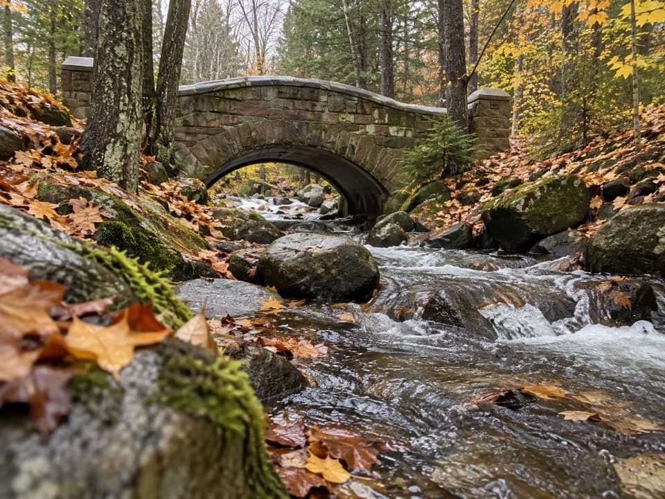
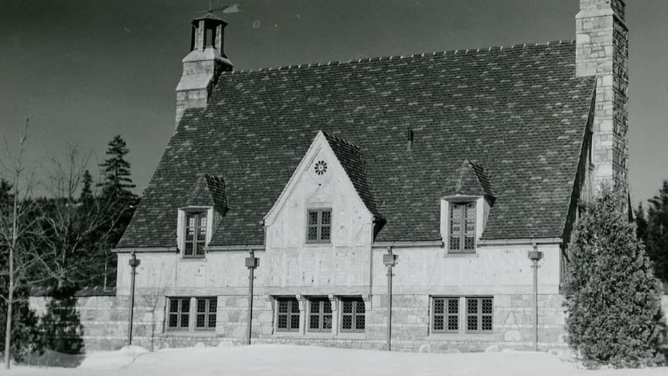
Acadia Mountain Trail in Acadia National Park

#11 of 142 trails in Acadia

Acadia National Park, ME

Acadia Mountain Trail

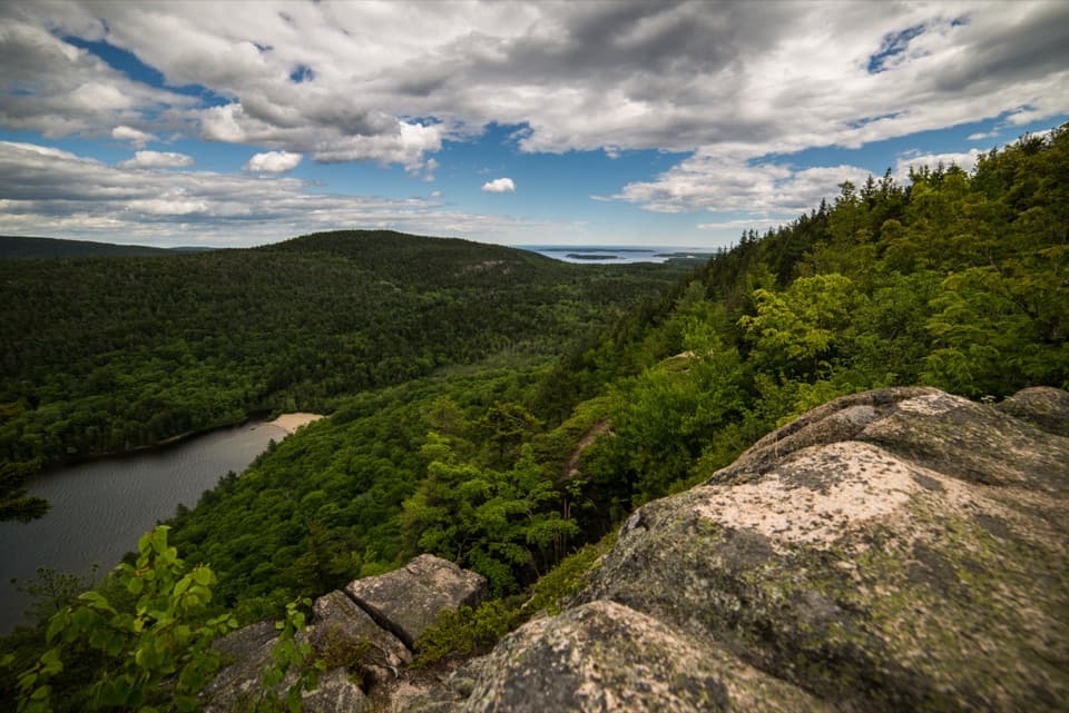
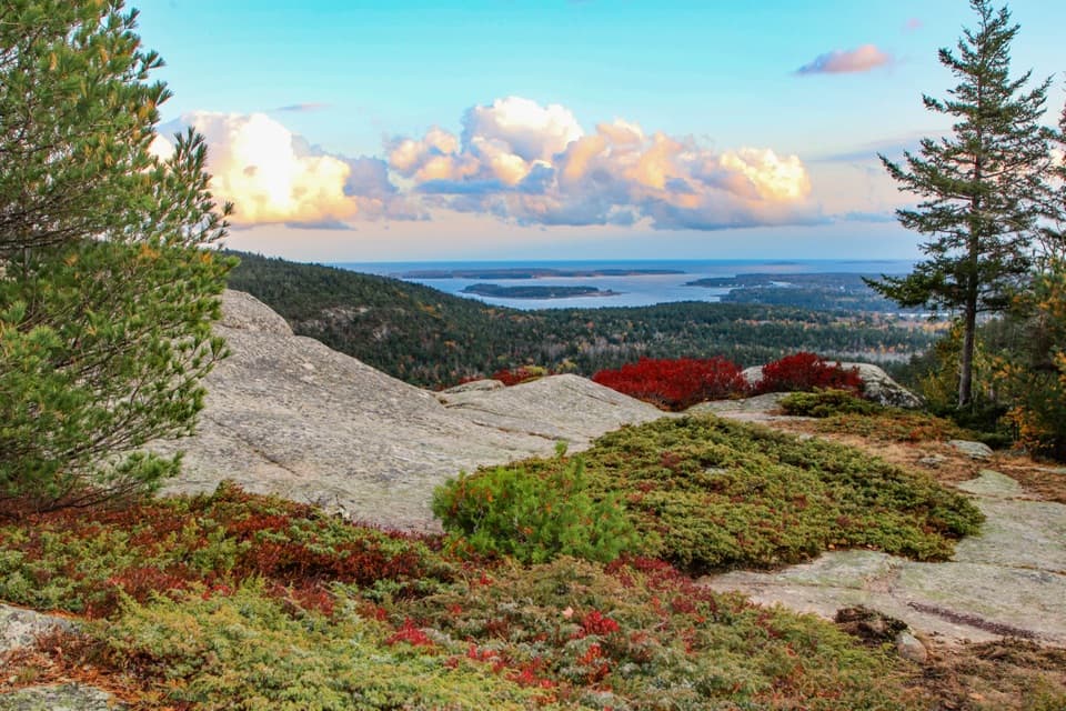
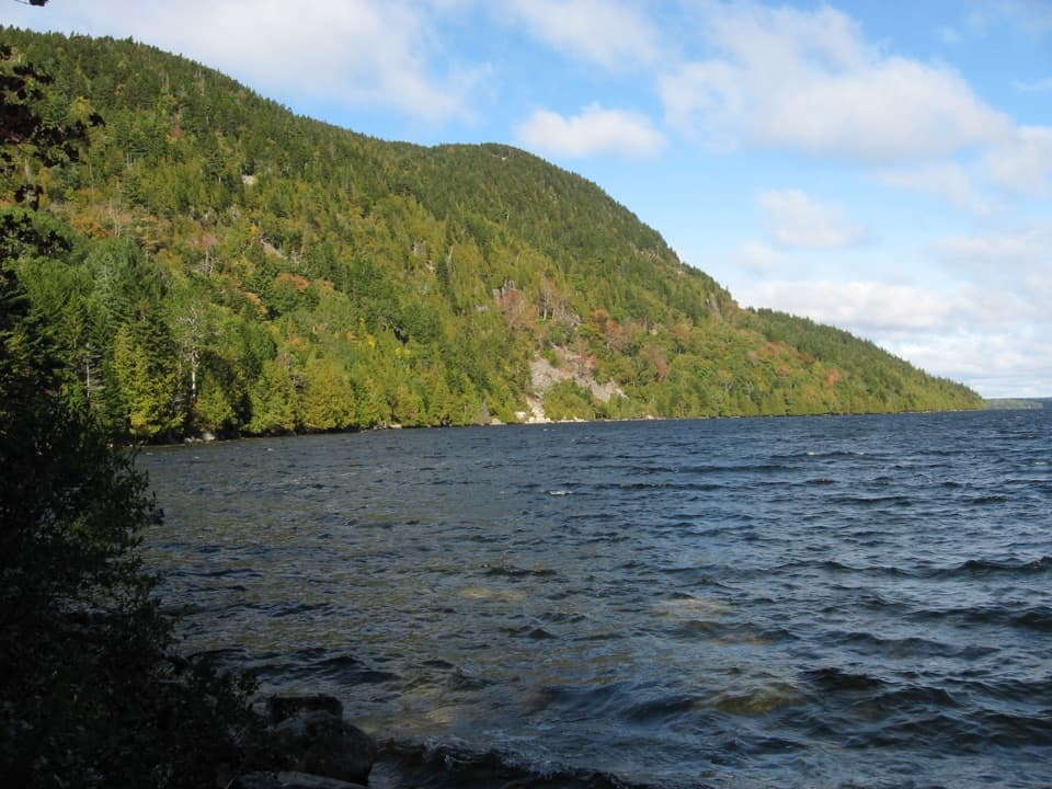
Granite scrambling earns a wide view over Somes Sound.

Photo: CC BY 2.0
Length
2.8mi
Time
2.5hr
Elev. change
515ft
Difficulty
Moderate
  • Loop
  • Dogs allowed
  • High point 636 ft

Hear the audio tour

Acadia Mountain’s Summit Loop

Overview

About Acadia Mountain Trail

Why go

  • An open false summit gives the first broad view before the marked top
  • The east-side descent is gentler than reversing the steep west climb

Heads up

  • Steep, slick granite can demand careful footing and hand use
  • The roadside lot and marked trail entrance are separated by ME Route 102

Map & elevation

The route

Loading the Acadia map
Full map
Elevation121–636 ft
TrailheadAcadia Mountain Trailhead roadside parking on ME Route 10244.32296, -68.33229
Keep this map with you offline in the Parkwolf app

Plan your hike

Before you go

Parking

Use the Acadia Mountain roadside parking area on ME Route 102, opposite the trail entrance. Cross the road carefully. Restrooms are at the parking area; the seasonal Island Explorer #7 bus serves this stop when operating. Parking can be tight at busy times.

Safety

The west-side climb has steep, exposed granite and occasional hand-assisted scrambling; rock can be slippery when wet. Cross ME Route 102 carefully between the parking area and trail entrance. A park entrance pass is required year-round. Dogs are allowed on leash, but the scramble can be difficult for them. The separate unmaintained spur toward the Man O' War Brook cascade can be hazardous and is not part of the loop.

3 active Acadia alerts

  • ClosureSouthern Ocean Path section closed for repairsThe southern section of Ocean Path is closed for repairs from the trailhead across from the Otter Point parking lot to the trail’s southern terminus.Official details
  • ClosureSchoodic Mountain Road closed for repairsSchoodic Mountain Road is closed for repairs from Schoodic Loop Road to the summit of Schoodic Head.Official details
See all 3 alerts
A park ranger sits on a dash-mounted phone, talking, as Parkwolf’s Tour Guide plays “Army Cutworm Moths: A Grizzly Bear Buffet” on Grand Loop Road below Dunraven Pass in Yellowstone
Parkwolf Tour GuideThe highest, rockiest slopes around here are a summer buffet for grizzly bears.

Acadia Tour Guide

Your drive to Acadia Mountain Trail, narrated.

Parkwolf is a GPS audio tour guide for Acadia National Park. As you drive, it chimes in with what’s ahead: hidden gems, upcoming stops, history, geology, and wildlife, right through your car’s speakers.

See the Acadia audio tour

Recorded for this trailhead

Acadia Mountain’s Summit Loop
0:00 / 0:23
“You’re coming up on Acadia Mountain’s trail access, for open ridge views over Somes Sound. The two point eight mile loop takes two to three hours, with steep granite and some hands-on scrambling.”

Plays as you drive up to this trailhead in the Parkwolf Acadia Tour Guide.

More stories near here in the app

  • Ikes Point on Echo Lake
  • Echo Lake Beach Below Beech Cliff
  • Beech Mountain’s Airlifted Fire Tower
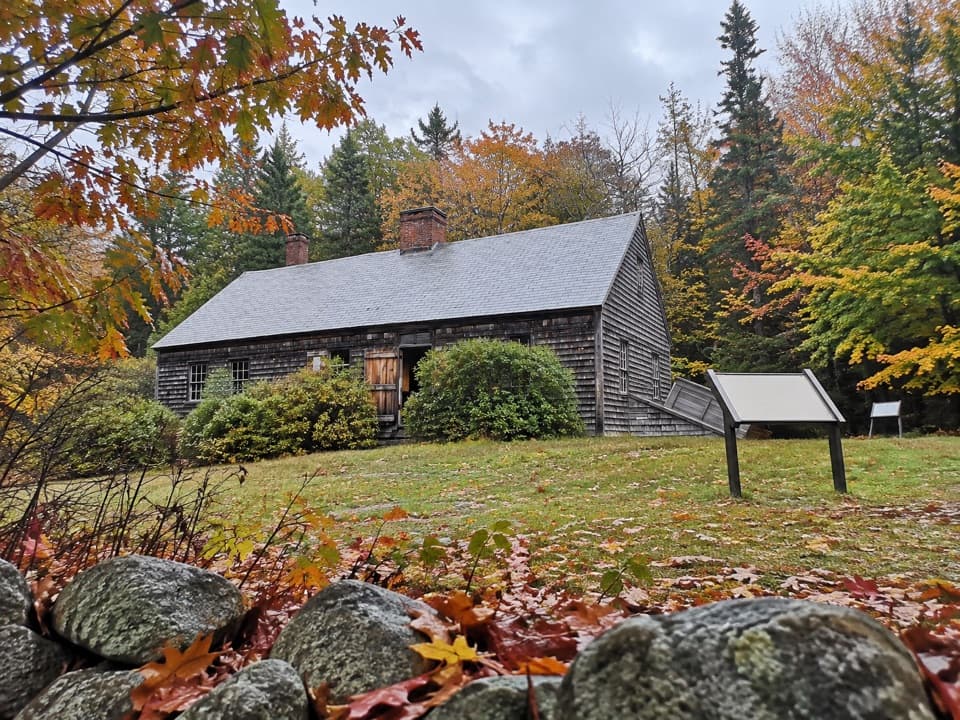
  • Carroll Homestead’s Seafaring Family
  • 116 audio storiesacross Acadia’s roads, triggered by GPS as you drive
  • Wildlife heatmapsfor Bald Eagle, Peregrine Falcon, White-tailed Deer, and 13 more
  • Works offlinemaps, 142 trails, 72 places, and audio download before you lose signal
  • CarPlay readysimple controls built for the drive
★★★★★
“…As we drove through Acadia it gave us a tour, which was really cool. Lots of great info about the parks and how to avoid the crowds. It’s a great travel companion!”
MyMysteryChicaApp Store review
Download Parkwolf on the App StoreGet Parkwolf on Google Play

4.7 from 8,600+ ratings

Trail guide

Hiking Acadia Mountain Trail

The complete loopAcadia Mountain Trail is a 2.

Acadia Mountain Trail is a 2.8-mile loop from the roadside access on ME Route 102 between Echo Lake and Somes Sound. Allow two to three hours; the steep, rough climb makes this short distance slower than a woodland walk. The route crosses Route 102 carefully at the trailhead access, follows a short St. Sauveur connector, climbs the west side, crosses the summit ridge, descends the easier east side, and returns through the woods on Man O' War Brook Trail. You may also see a 1.8-mile figure for Trail 101; for the complete access loop described here, plan on 2.8 miles, including its connector and return.

Take the harder climb firstThe western ascent is the demanding part: the path climbs over broken granite, steep ledges and…

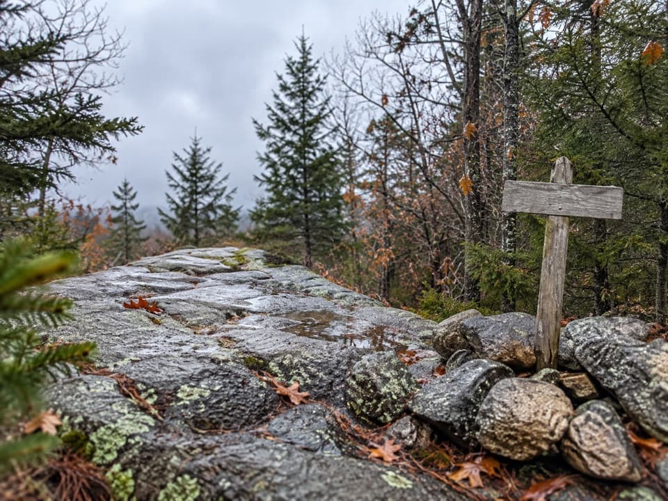
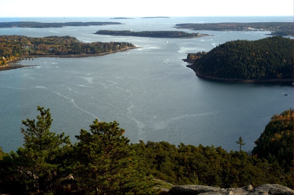
The western ascent is the demanding part: the path climbs over broken granite, steep ledges and uneven rock, with a few places where you may want your hands. Around 0.7 mile up, an open false summit gives the first wide look at Somes Sound. The marked summit is roughly 0.3 mile farther along. Take your time on the slabs; wet rock is especially slick. For the full circuit, climb the steeper west side and descend the less severe east side, the direction recommended for this loop.

Two viewpoints on one ridgeAt 681 feet, the summit sits between Echo Lake and Somes Sound.

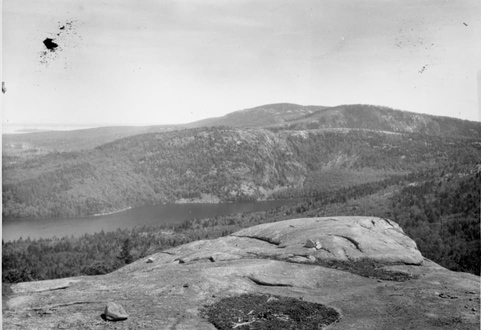
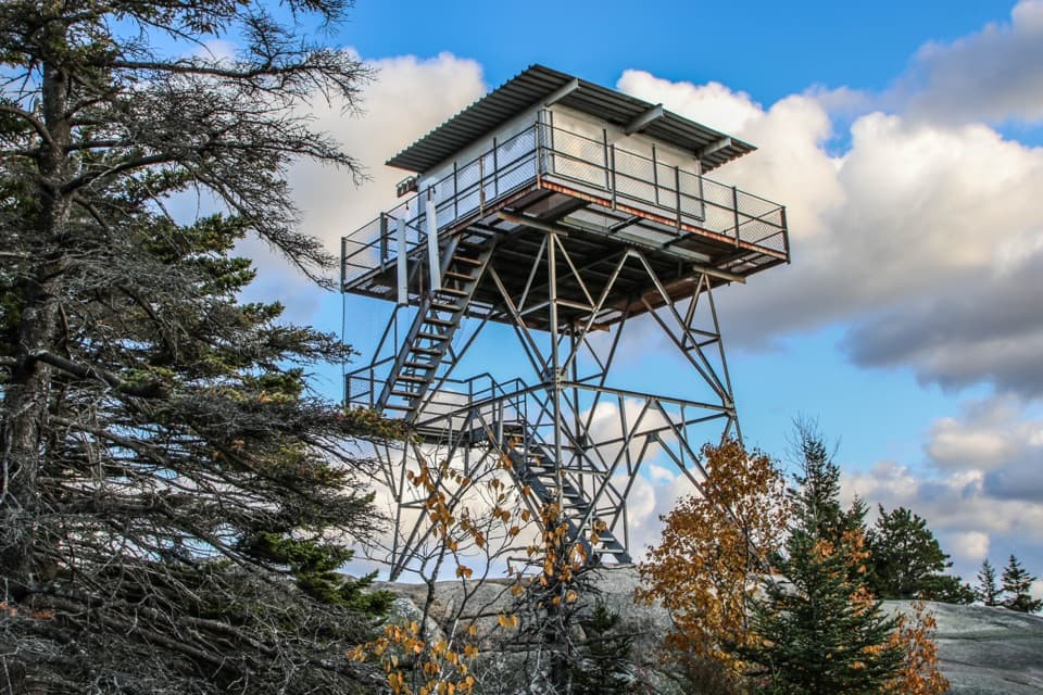
At 681 feet, the summit sits between Echo Lake and Somes Sound. The open granite around the marker gives a broad view across the Sound, its forested islands and the mountains beyond. The mountain's east–west ridge is unusual on Mount Desert Island, so the views change sides as you cross it: Somes Sound opens to the west, and Beech Mountain's fire tower appears from several spots to the east. The false summit is a worthwhile stop in its own right; it is not the top, so keep going if you want the marked high point.

The east-side descentThe east route is easier than the west face, but it is still a mountain path, not a smooth…

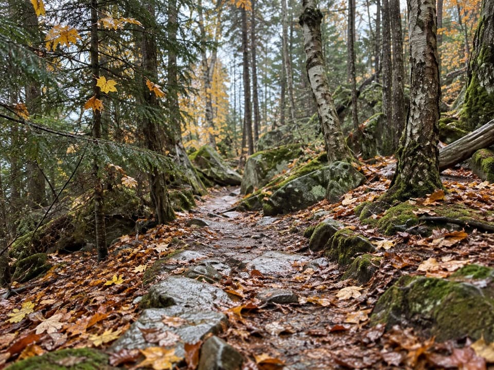
The east route is easier than the west face, but it is still a mountain path, not a smooth stroll. Expect forest floor, roots, pine needles, loose rock and short stone steps, with more granite slabs and occasional scrambling. The woods close in between views, then the fire tower comes back into sight across the valley. Watch your footing where stone and roots interrupt the softer ground, especially after rain or mist.

A brook on the way backThe loop rejoins Man O' War Brook Trail for a mostly wooded return to Route 102.

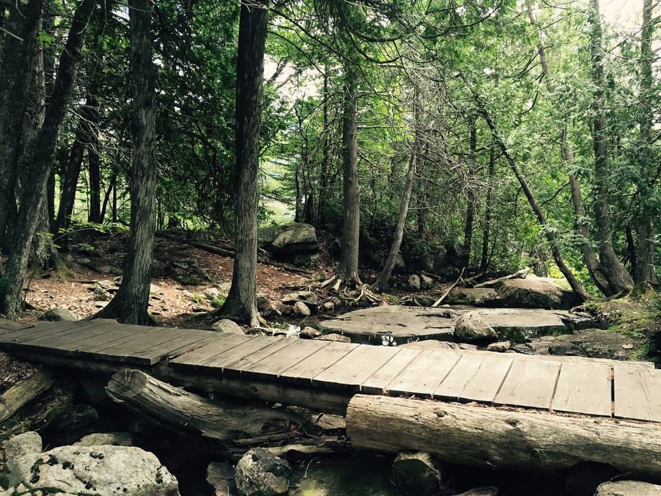
The loop rejoins Man O' War Brook Trail for a mostly wooded return to Route 102. A separate, unmaintained spur leads toward a small seasonal cascade near the brook's mouth; it can be hazardous and is not part of this mapped circuit. The brook may be little more than a trickle in drier weather, so do not plan the hike around a waterfall. There is no reliable water stop identified along the route; carry what you need from the start.

Granite shaped by iceMount Desert Island's granite formed about 420 million years ago.

Mount Desert Island's granite formed about 420 million years ago. Much later, glaciers polished exposed rock and cut broad U-shaped valleys between the ridges. From this trail, the bare slabs underfoot and the wooded sides dropping toward Somes Sound make that contrast easy to see. The view is more than a sweep of water: it shows the shape of an island carved into high ridges and narrow valleys.

Start with the access detailsThe roadside parking area and restrooms are on the other side of ME Route 102 from the trail…

The roadside parking area and restrooms are on the other side of ME Route 102 from the trail entrance; cross carefully. Parking can be tight, and the seasonal Island Explorer #7 bus serves this stop when operating. Check its schedule before building a trip around it. A park entrance pass is required year-round. Pets are allowed on leash up to six feet, but the steep granite sections can be hard on dogs. If you want a shorter outing, you can turn around at the summit and retrace the west climb; published mileage for that variation is inconsistent, so check a current map rather than relying on the 1.8-mile Trail 101 figure.

Wildlife

Wildlife in Acadia

All Acadia wildlife maps

Sighting maps show where each species has been reported across Acadia. Wildlife moves, so no sighting is guaranteed.

Keep exploring

Near Acadia Mountain Trail

See it all on the map

Trails that start nearby

Places near the trailhead

Parkwolf’s Acadia ranking

Top-rated trails in Acadia

All 142 trails
  1. 1Beehive Loop TrailChallenging · 1.4 mi
  2. 2Precipice TrailChallenging · 2.1 mi
  3. 3Jordan Pond PathModerate · 3.3 mi
  4. 4Bubbles TrailModerate · 1.5 mi
  5. 5Ocean PathEasy · 2.2 mi
  6. 6Cadillac Mountain South Ridge TrailChallenging · 7.8 mi

Take Parkwolf to Acadia.

The audio tour guide for the drive, plus offline maps, trails, and wildlife heatmaps for when the signal drops.

4.7 from 8,600+ ratings

Download Parkwolf on the App StoreGet Parkwolf on Google Play