Parking
Roadside parking is on the left side of Park Loop Road at the North Ridge trailhead, just east of Beaver Dam Pool; the former small lot was discontinued.
Acadia National Park, ME
A short, steep climb to Champlain’s open ledges and island views.
Overview
Map & elevation
Plan your hike

The highest, rockiest slopes around here are a summer buffet for grizzly bears.
Acadia Tour Guide
Parkwolf is a GPS audio tour guide for Acadia National Park. As you drive, it chimes in with what’s ahead: hidden gems, upcoming stops, history, geology, and wildlife, right through your car’s speakers.
Recorded for this trailhead
Champlain North Ridge and the Old Quarry“You're nearing Champlain North Ridge Trail, a climb from hardwood forest onto open ledges above Frenchman Bay. Allow an hour and a half to two hours for the two-mile return hike, with steep, uneven granite higher up.”
Plays as you drive up to this trailhead in the Parkwolf Acadia Tour Guide.
More stories near here in the app
“…As we drove through Acadia it gave us a tour, which was really cool. Lots of great info about the parks and how to avoid the crowds. It’s a great travel companion!”


Trail guide
Champlain North Ridge Trail is a 2-mile out-and-back from Park Loop Road to Champlain Mountain’s summit, then back the same way. The climb is about a mile each way, with roughly 850 feet of gain; allow about 1½ to 2 hours. It’s a good pick when you want a direct mountain climb and don’t need a long loop, but the short mileage hides a hard ascent.
The lower 0.4 mile winds through hardwoods on a mostly gradual grade, with timber and stone steps built into the hillside. Remnants of George Dorr’s old quarry sit near the trailhead. Higher up, the trees thin and the route crosses open granite ledges; the grade gets steeper as you approach the top.
Old painted arrows mark abandoned junctions, and the Orange and Black Path meets the route above the lower woods. Follow the established cairns through open ledge and ignore stray piles of rocks. At the summit, several Champlain routes come together, including Beachcroft, Precipice, and South Ridge. Check the junction before heading back down the North Ridge so you don’t start down a different route by mistake.
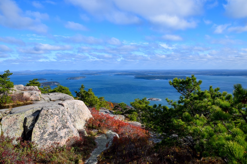
You get views before the summit: Frenchman Bay to the east, Dorr Mountain to the west, and Beaver Dam Pool to the north. From the top, the panorama opens toward the ocean, Schoodic Peninsula, the Porcupine Islands, and Bar Harbor. A strip of granite in the foreground makes a good frame for the island view.
Paths up Champlain appear on local maps from the mid-1800s, though the road approach has shifted over time. The north route was called Bear Brook Trail on a 1972 map before taking its current name after 2008. Look for old quarry cuts near the bottom and historic stonework along the climb. Near the summit sign, a small date carved in the ledge records May 1904; leave the old markings undisturbed.
Start at the North Ridge trailhead on Park Loop Road, just east of Beaver Dam Pool. Parking is roadside on the left side of the road; the small lot formerly beside the trailhead was discontinued. Dogs may use North Ridge on a leash no longer than six feet, but they can’t continue onto nearby restricted ladder routes such as Precipice.
Wildlife
 130 sightingsBald EagleMost seen around noonSighting map
 21 sightingsPeregrine FalconMost seen around 10 AMSighting map
 396 sightingsWhite-tailed DeerMost seen around 7 PMSighting map
 305 sightingsPorcupineMost seen around 7 PMSighting map
 201 sightingsBeaverMost seen around 7 PMSighting map
 34 sightingsMinkMost seen around 7 PMSighting map
Sighting maps show where each species has been reported across Acadia. Wildlife moves, so no sighting is guaranteed.
Keep exploring
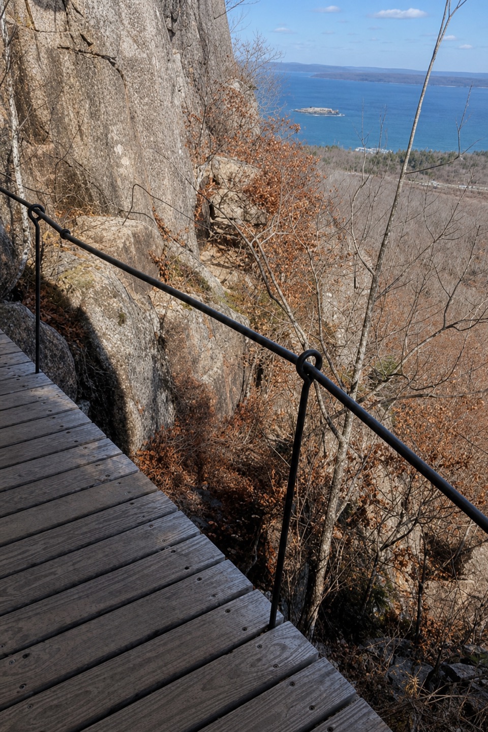 ModerateOrange & Black Path0.8 mi · 45 min · 0.6 mi awayA historic stone path crosses Champlain’s rugged east face.
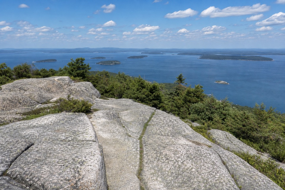 ChallengingBeachcroft Path2 mi · 2.5 hr · 0.7 mi awayA historic stone stairway climbs to Champlain’s open granite summit.
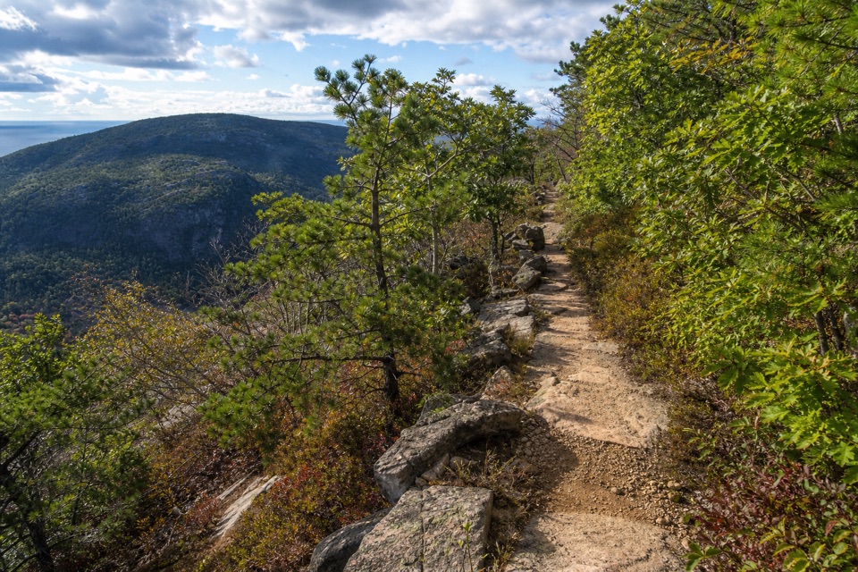 ChallengingSchiff Path1.1 mi · 1 hr · 0.7 mi awayA historic Dorr Mountain connector with a steep granite finish.
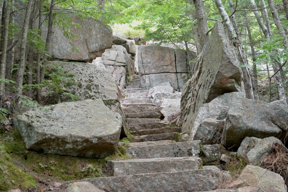 ModerateEmery Path1.2 mi · 1.3 hr · 0.7 mi awayA steep memorial staircase climbs from Sieur de Monts Spring
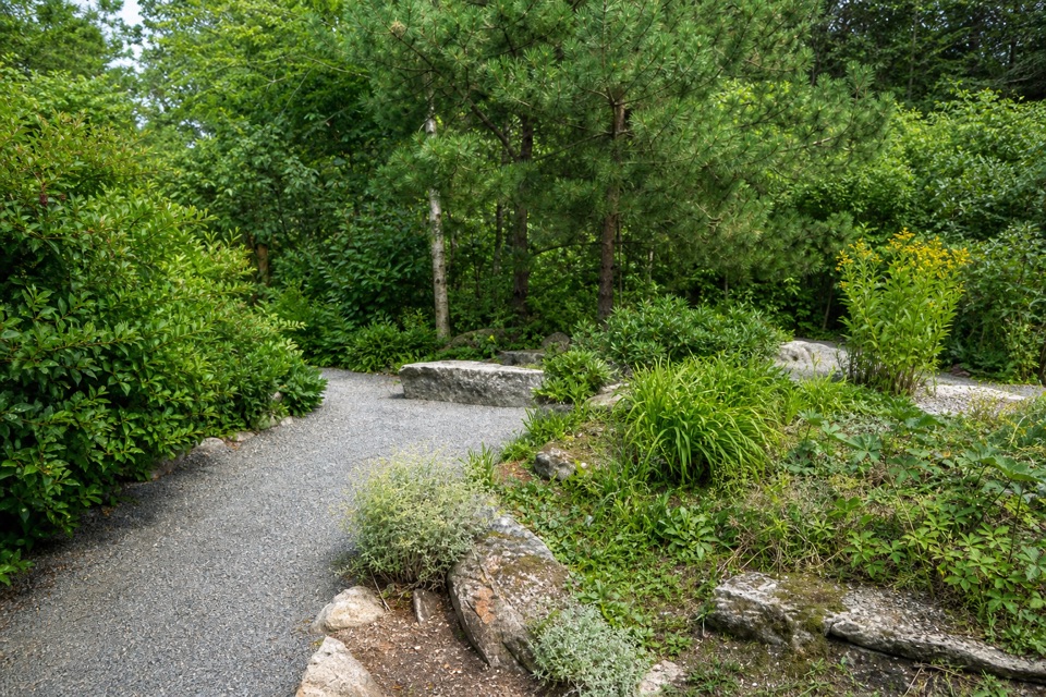 EasyWild Gardens Path0.3 mi · 15 min · 0.7 mi awayA short garden path linking Sieur de Monts trails.
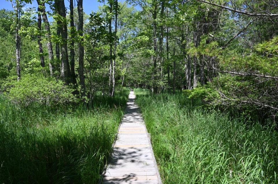 EasyJesup Path and Hemlock Path Loop1.5 mi · 45 min · 0.7 mi awayFlat boardwalks, birch wetland, Great Meadow, and hemlock forest
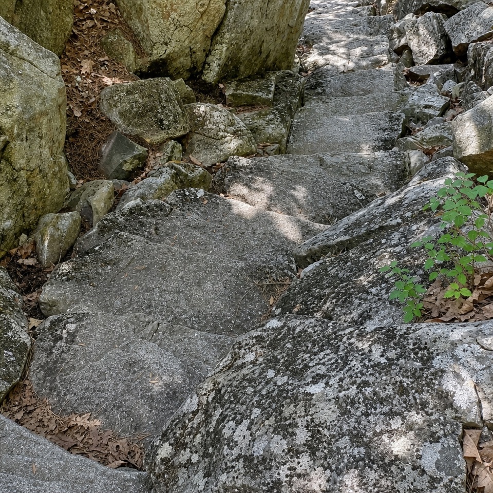 ChallengingKurt Diederichs Climb0.8 mi · 54 min · 0.7 mi awayA steep memorial stairway with a carved name and Tarn views.
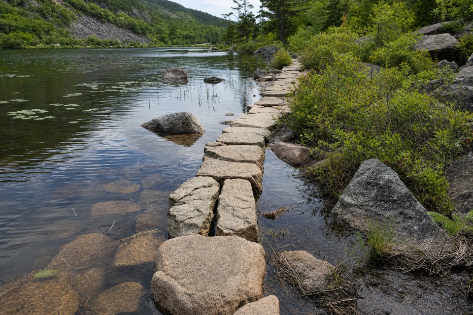 EasyKane Path0.9 mi · 30 min · 0.7 mi awayA short stone path skims the Tarn, then slips into the woods.
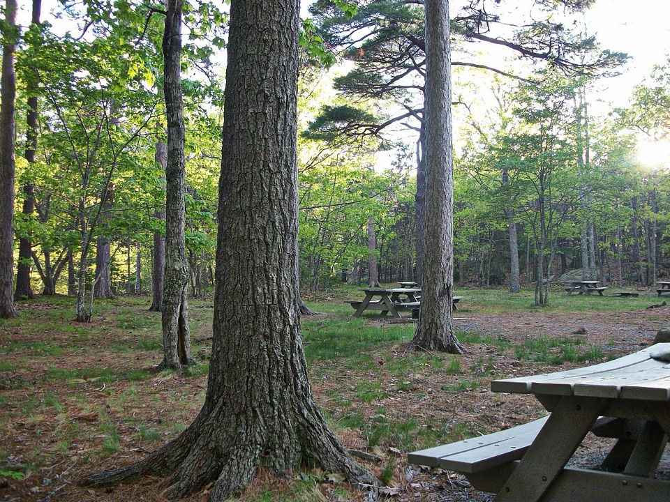 Picnic area · 0.4 mi awayBear Brook Picnic AreaA wooded lunch stop with grill-ready pits and accessible toilets.
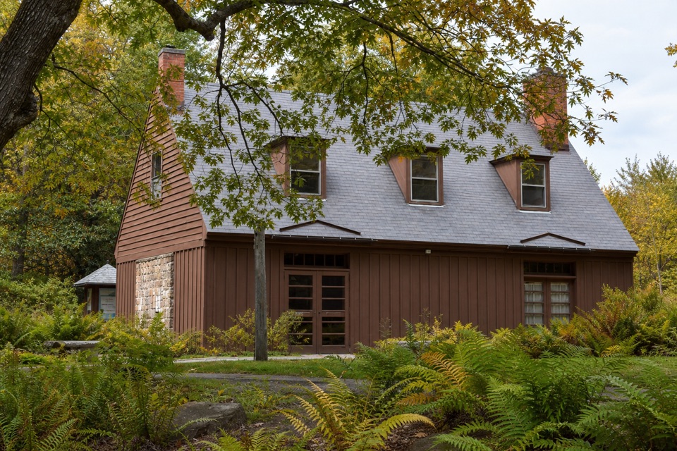 Visitor center · 0.7 mi awaySieur de Monts Nature CenterA smart first stop for Acadia’s trail choices and natural history.
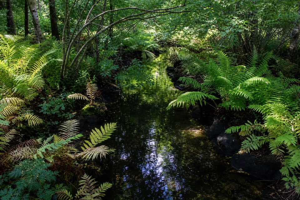 Sight · 0.7 mi awayWild Gardens of AcadiaA compact, labeled tour through native plant habitats.
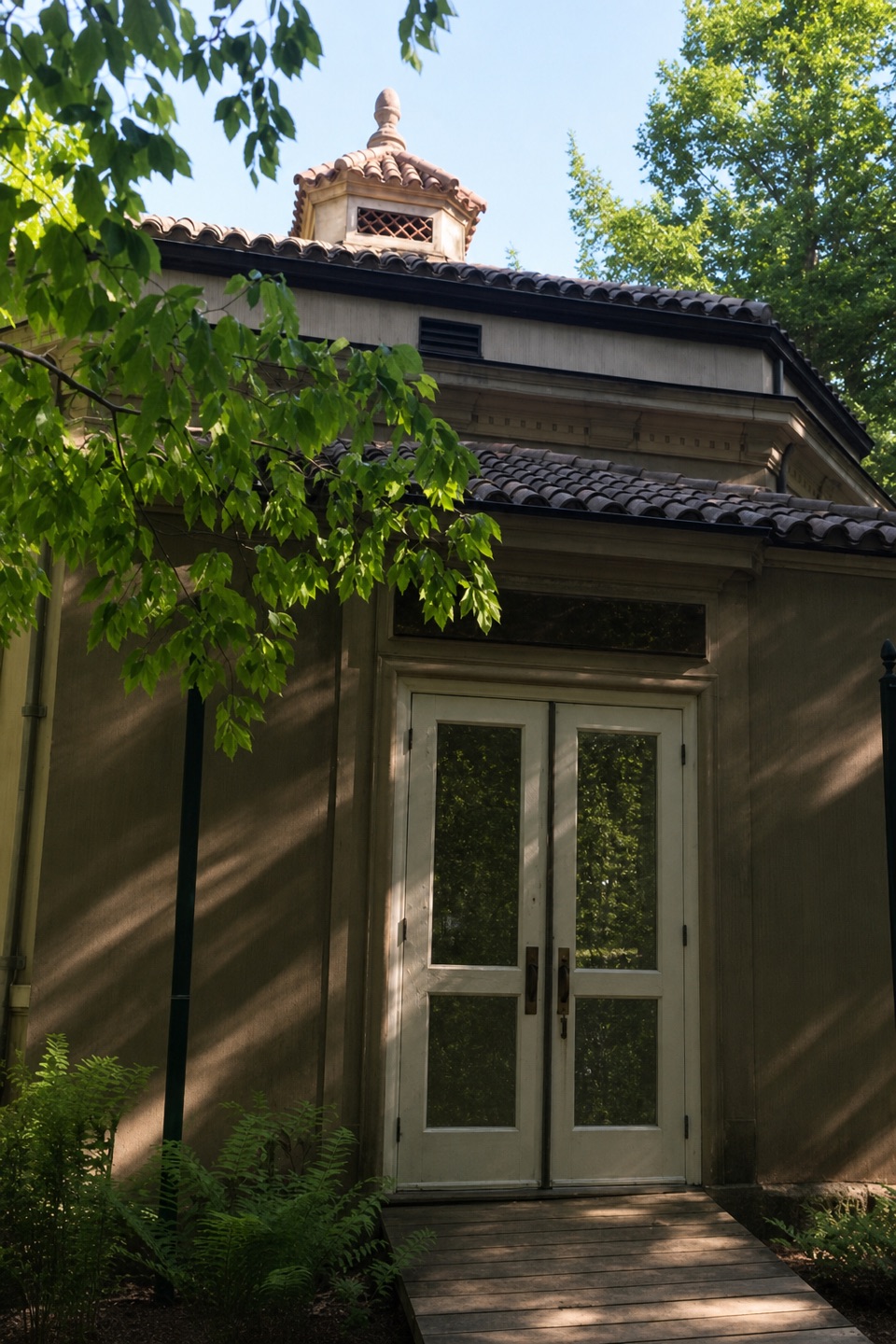 Sight · 0.7 mi awayAbbe Museum at Sieur de Monts SpringThe Abbe’s original 1928 museum, tucked into the Sieur de Monts woods.
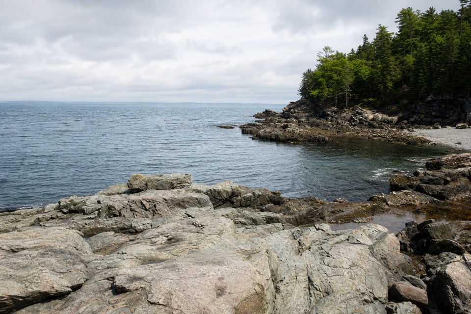 Sight · 0.8 mi awayCompass Harbor and OldfarmA short wooded walk leads from Dorr's estate ruins to rocky shoreline.
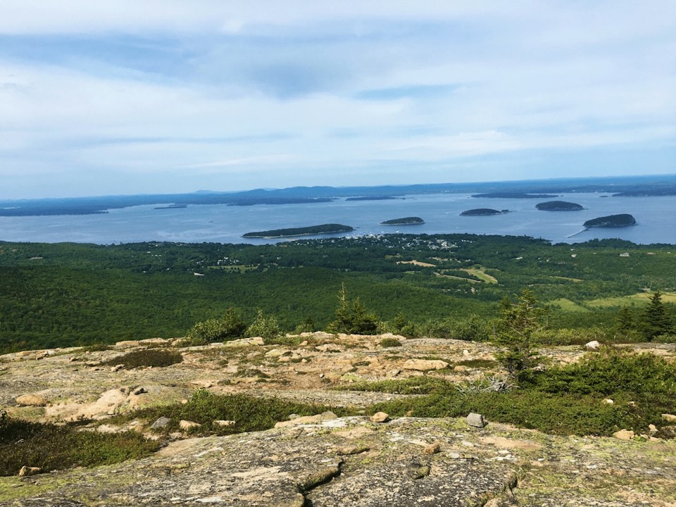 Sight · 1.7 mi awayCadillac MountainA short summit walk opens onto an island-and-ocean panorama.
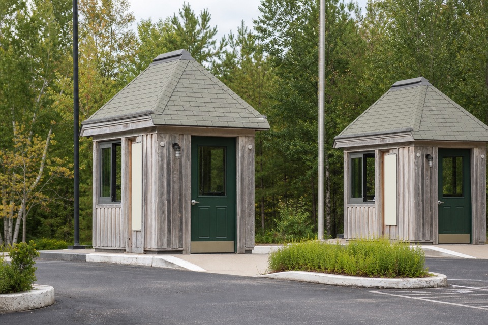 Entrance station · 1.8 mi awayPark Loop Road Entrance StationA year-round staffed stop for passes, maps, and park basics.
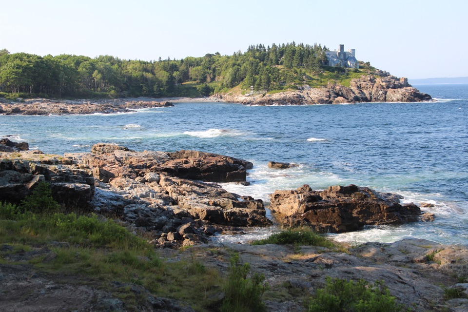 Scenic pullout · 1.8 mi awaySchooner Head OverlookA quick coastal stop facing a wooded headland and open water.
Parkwolf’s Acadia ranking

The audio tour guide for the drive, plus offline maps, trails, and wildlife heatmaps for when the signal drops.





