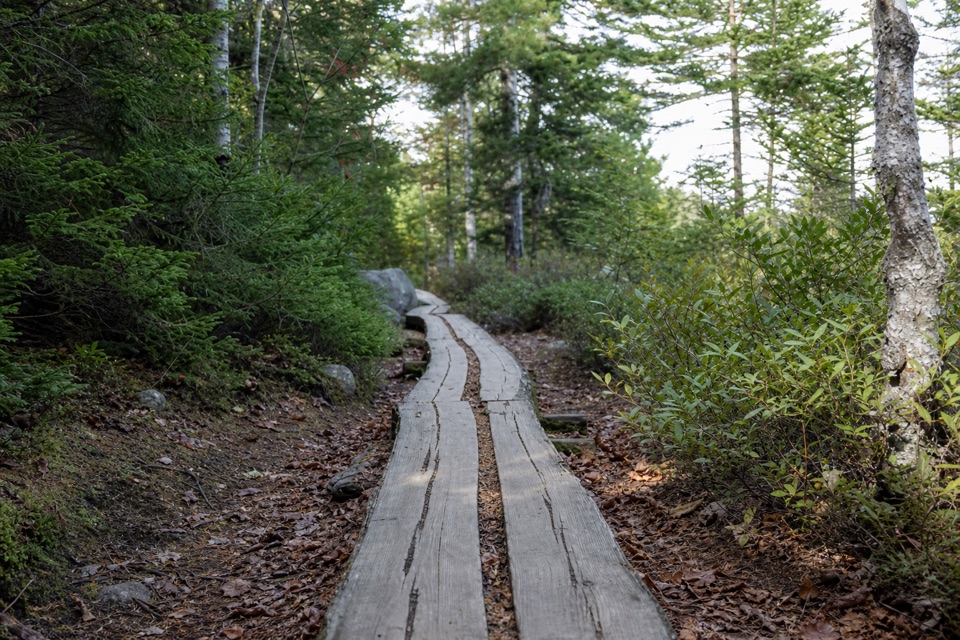
Golf Course Trail in Acadia National Park

Acadia National Park, ME

Golf Course Trail

A 1914 spur on Norumbega's wooded southwest flank.

Length
0.5mi
Time
30min
Elev. change
430ft
Difficulty
Moderate
  • High point 597 ft

Hear the audio tour

Brown Mountain Gatehouse and Its Bells

Overview

About Golf Course Trail

Why go

  • A short historic connection on Norumbega Mountain’s southwest side.

Heads up

  • Public access at the private golf-course end is unresolved.

Map & elevation

The route

Loading the Acadia map
Full map
Elevation167–597 ft
TrailheadGolf Course Trail junction on Norumbega Mountain Trail44.31524, -68.29474
Keep this map with you offline in the Parkwolf app

Plan your hike

Before you go

Parking

No dedicated public parking is verified for this branch. The nearest documented park access is the Norumbega Mountain Loop parking area off Route 3; reach the Golf Course Trail junction by following connecting trails. Do not assume the private golf club provides public parking.


Safety

The mapped trail crosses private land, and current public permission at the golf-course end is unverified. Confirm access with the park before setting out. The short route has about 400 feet of elevation change over 0.45 mile.

4 active Acadia alerts

  • CautionAvoid water contact at Sand Beach LagoonDo not swim at Sand Beach Lagoon. - Bacterial levels have exceeded public-health standards, so the NPS has posted a Public Health Advisory.Official details
  • ClosureSchoodic Mountain Road closed for repairsSchoodic Mountain Road is closed from Schoodic Loop Road to the summit of Schoodic Head. - The closure began August 31 for resurfacing, regrading, and ditching.Official details
See all 4 alerts
A park ranger sits on a dash-mounted phone, talking, as Parkwolf’s Tour Guide plays “Army Cutworm Moths: A Grizzly Bear Buffet” on Grand Loop Road below Dunraven Pass in Yellowstone
Parkwolf Tour GuideThe highest, rockiest slopes around here are a summer buffet for grizzly bears.

Acadia Tour Guide

Your drive to Golf Course Trail, narrated.

Parkwolf is a GPS audio tour guide for Acadia National Park. As you drive, it chimes in with what’s ahead: hidden gems, upcoming stops, history, geology, and wildlife, right through your car’s speakers.

Recorded for this area

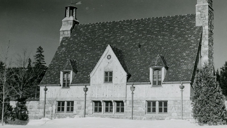
Brown Mountain Gatehouse and Its Bells
0:00 / 0:29
“Brown Mountain Gatehouse is ahead, with stone towers and red-brick bands at a historic carriage-road entrance. Bells let the gatekeepers know when a carriage or rider wanted through.”

Plays on the road 0.5 mi from the trailhead in the Parkwolf Acadia Tour Guide.

More stories near here in the app

  • The Periwinkle's Toothed Tongue
  • Norumbega Access to Bald Peak
  • The Life on the Rocks
  • Somes Sound’s Ice-Carved Valley
  • 116 audio storiesacross Acadia’s roads, triggered by GPS as you drive
  • Wildlife heatmapsfor Bald Eagle, Peregrine Falcon, White-tailed Deer, and 13 more
  • Works offlinemaps, 142 trails, 72 places, and audio download before you lose signal
  • CarPlay readysimple controls built for the drive
★★★★★
“…As we drove through Acadia it gave us a tour, which was really cool. Lots of great info about the parks and how to avoid the crowds. It’s a great travel companion!”
MyMysteryChicaApp Store review
Download Parkwolf on the App StoreGet Parkwolf on Google Play

4.7 from 8,600+ ratings

Trail guide

Hiking Golf Course Trail

A connector, not a loopGolf Course Trail is a 0.

Golf Course Trail is a 0.45-mile one-way branch between Norumbega Mountain Trail and the golf-course side of Norumbega Mountain. It is a connector, not a self-contained loop; walking it back makes the segment about 0.9 mile. The branch is short, but its roughly 400 feet of elevation change makes it more work than the mileage suggests. The mapped line crosses private land, and current public access at the golf-course end could not be confirmed. Check with the park before planning an exit or start there.

What the route is likeThe upper junction is on Norumbega Mountain Trail.

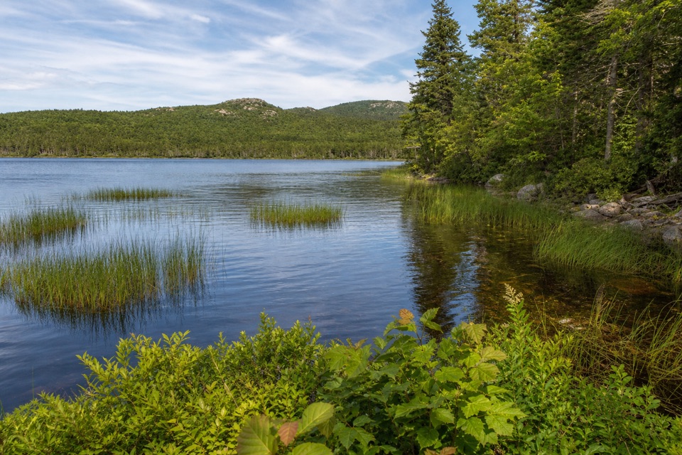
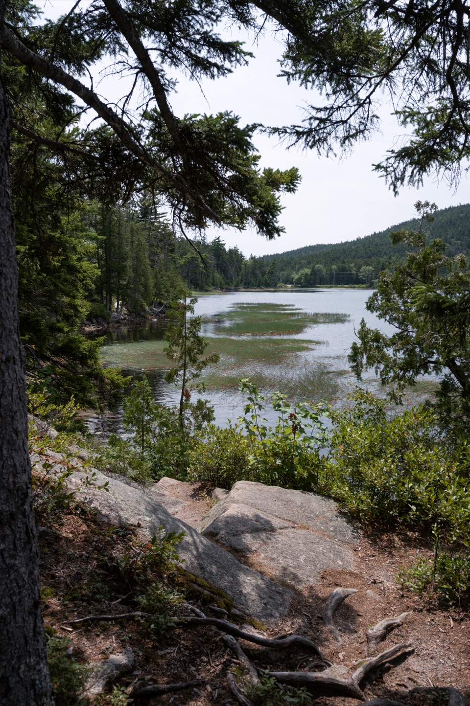
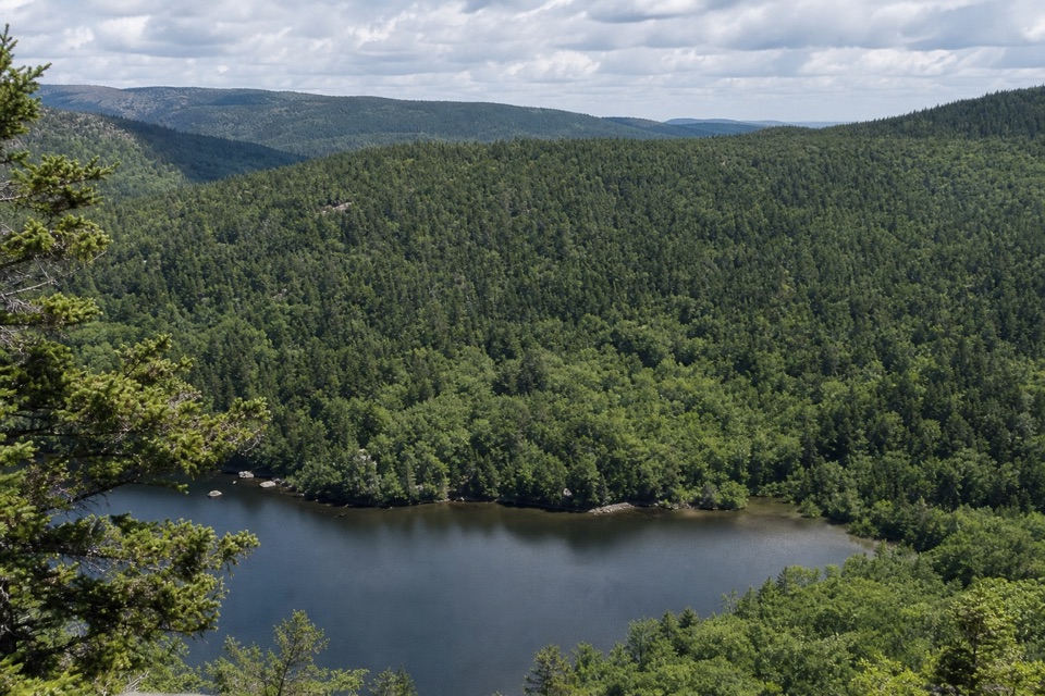
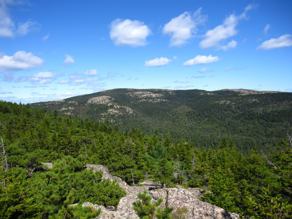
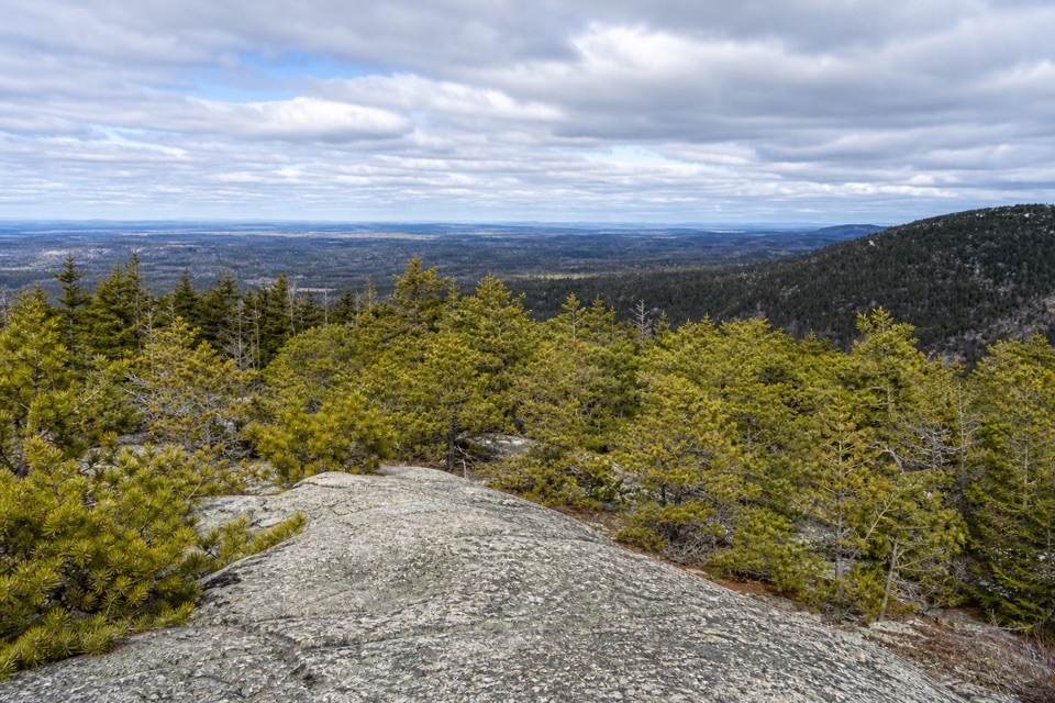
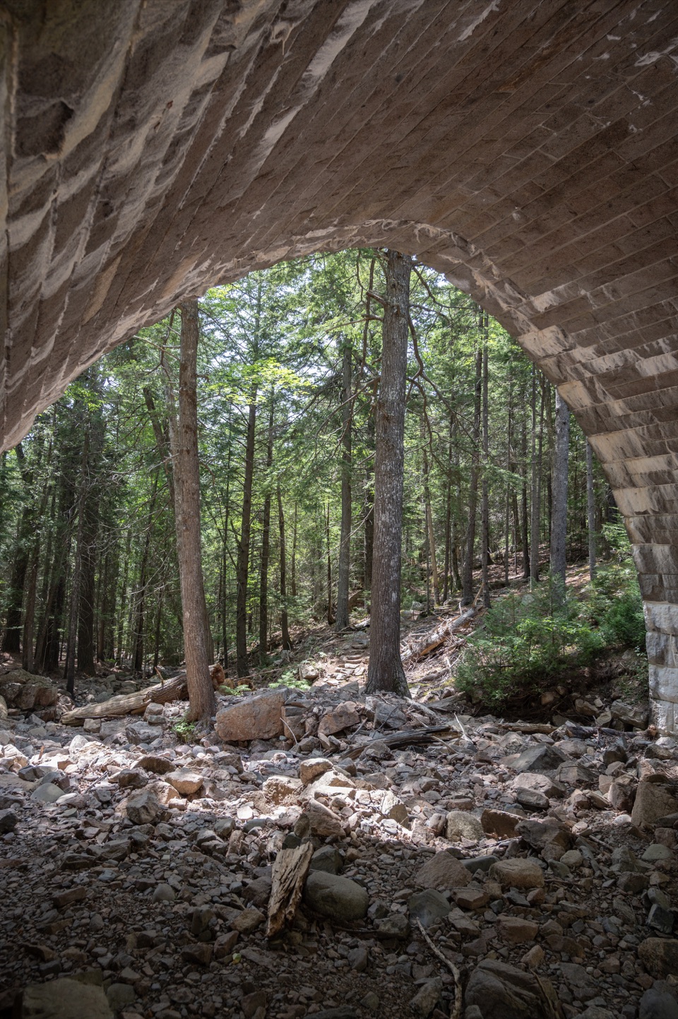
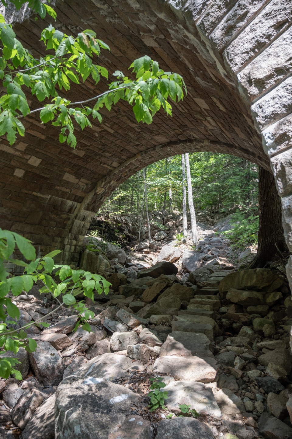
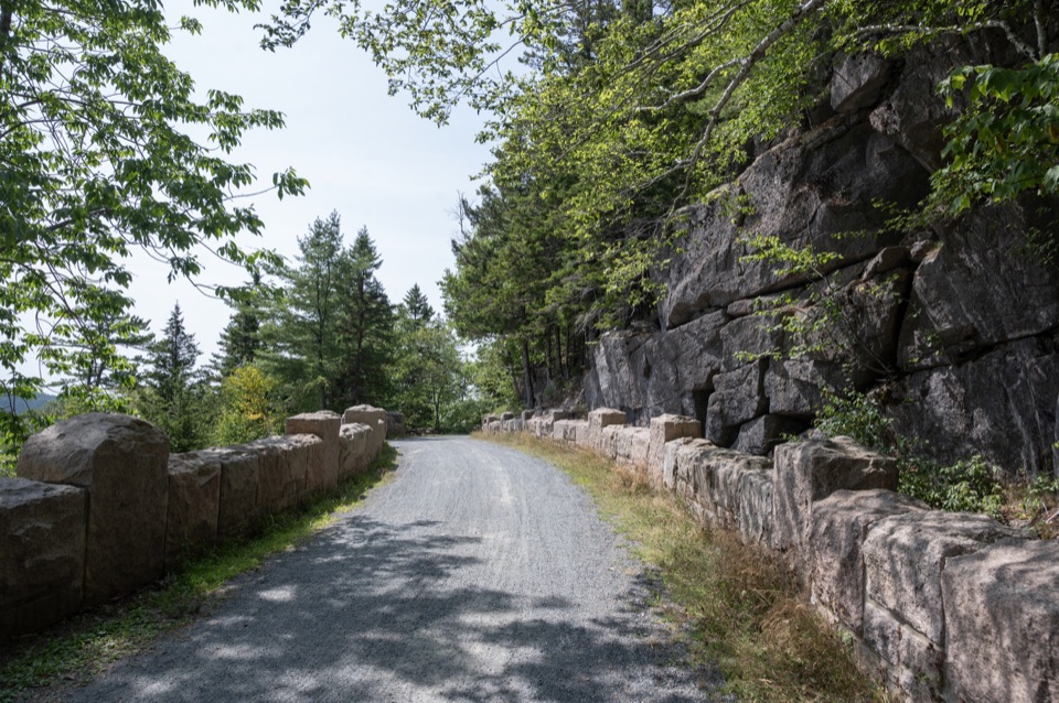
The upper junction is on Norumbega Mountain Trail. From there, the branch descends through woods and stretches of ledge along the mountain’s southwest side to the golf-course end. The older route description calls it rough and rarely used; that does not confirm present-day tread conditions. There is no summit viewpoint on this short connector. If you want a complete outing with an established public approach, use the separate Norumbega Mountain Loop instead.

A 1914 trailThis is trail 81, built in 1914 and formerly called Circular Trail.

This is trail #81, built in 1914 and formerly called Circular Trail. Its point is the link between the golf-course side and Norumbega Mountain Trail, not a destination of its own. The route crosses both park and private land, so confirm permission at the lower end before setting out.

Wildlife

Wildlife in Acadia

All Acadia wildlife maps

Sighting maps show where each species has been reported across Acadia. Wildlife moves, so no sighting is guaranteed.

Keep exploring

Near Golf Course Trail

See it all on the map

Trails that start nearby

Places near the trailhead

Parkwolf’s Acadia ranking

Top-rated trails in Acadia

All 142 trails
  1. 1Beehive Loop TrailChallenging · 1.4 mi
  2. 2Precipice TrailChallenging · 2.1 mi
  3. 3Jordan Pond PathModerate · 3.3 mi
  4. 4Bubbles TrailModerate · 1.5 mi
  5. 5Ocean PathEasy · 2.2 mi
  6. 6Cadillac Mountain South Ridge TrailChallenging · 7.8 mi

Take Parkwolf to Acadia.

The audio tour guide for the drive, plus offline maps, trails, and wildlife heatmaps for when the signal drops.

4.7 from 8,600+ ratings

Download Parkwolf on the App StoreGet Parkwolf on Google Play