Bernard Mountain Trail in Acadia National Park

Acadia National Park, ME

Bernard Mountain Trail

A 2.5-mile loop to a wooded summit and an occasional west view.

Length
2.5mi
Time
2.5hr
Elev. change
925ft
Difficulty
Moderate
  • Loop
  • Dogs allowed
  • High point 1,076 ft

Hear the audio tour

Mill Field and Bernard Mountain’s Forest Loop

Overview

About Bernard Mountain Trail

Why go

  • A quiet, wooded summit route on Acadia’s western side.
  • A loop pairs two different trail legs.
  • A partial west-facing view adds a worthwhile pause.

Heads up

  • The summit itself has limited views.
  • Steep, uneven roots and rock make this tougher than a stroll.

Map & elevation

The route

Loading the Acadia map
Full map
Elevation151–1,076 ft
TrailheadMill Field Trailhead44.29478, -68.36302
Keep this map with you offline in the Parkwolf app

Plan your hike

Before you go

Parking

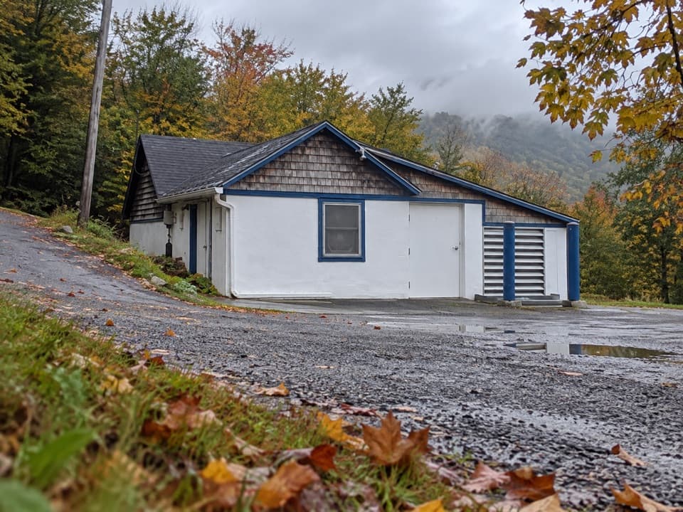
Start at Mill Field Trailhead. From ME 102 before Southwest Harbor, turn onto Seal Cove Road, then follow signs via Western Mountain Road to Mill Field. Seal Cove Road passes a seasonal gate (usually closed November through April) and becomes gravel inside the park. Parking is available at Mill Field; capacity is not published. An Acadia entrance pass is required unless you have a qualifying pass.

Safety

The upper climb is steep and crosses roots, rock and ledges; use careful footing on uneven ground.

3 active Acadia alerts

  • ClosureSouthern Ocean Path section closed for repairsThe southern section of Ocean Path is closed for repairs from the trailhead across from the Otter Point parking lot to the trail’s southern terminus.Official details
  • ClosureSchoodic Mountain Road closed for repairsSchoodic Mountain Road is closed for repairs from Schoodic Loop Road to the summit of Schoodic Head.Official details
See all 3 alerts
A park ranger sits on a dash-mounted phone, talking, as Parkwolf’s Tour Guide plays “Army Cutworm Moths: A Grizzly Bear Buffet” on Grand Loop Road below Dunraven Pass in Yellowstone
Parkwolf Tour GuideThe highest, rockiest slopes around here are a summer buffet for grizzly bears.

Acadia Tour Guide

Your drive to Bernard Mountain Trail, narrated.

Parkwolf is a GPS audio tour guide for Acadia National Park. As you drive, it chimes in with what’s ahead: hidden gems, upcoming stops, history, geology, and wildlife, right through your car’s speakers.

See the Acadia audio tour

Recorded for this trailhead

Mill Field and Bernard Mountain’s Forest Loop
0:00 / 0:26
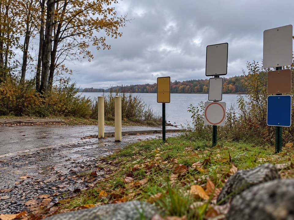
“Mill Field is ahead, the starting point for Bernard Mountain's wooded loop. Allow two to three hours for the two point five mile circuit, with a steep upper climb over roots and rock.”

Plays as you drive up to this trailhead in the Parkwolf Acadia Tour Guide.

More stories near here in the app

  • Gilley Field and Razorback Ridge
  • The Woodpecker's Rectangular Holes
  • The Flower That Makes Heat
  • West Ledge Trail Above Blue Hill Bay
  • 116 audio storiesacross Acadia’s roads, triggered by GPS as you drive
  • Wildlife heatmapsfor Bald Eagle, Peregrine Falcon, White-tailed Deer, and 13 more
  • Works offlinemaps, 142 trails, 72 places, and audio download before you lose signal
  • CarPlay readysimple controls built for the drive
★★★★★
“…As we drove through Acadia it gave us a tour, which was really cool. Lots of great info about the parks and how to avoid the crowds. It’s a great travel companion!”
MyMysteryChicaApp Store review
Download Parkwolf on the App StoreGet Parkwolf on Google Play

4.7 from 8,600+ ratings

Trail guide

Hiking Bernard Mountain Trail

The loopBernard Mountain Trail is a 2.

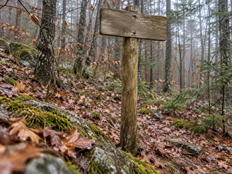
Bernard Mountain Trail is a 2.5-mile loop from Mill Field with about 930 feet of climbing; allow two to three hours. The route reaches Bernard Mountain’s 1,071-foot, tree-covered top and returns through the forest. You can walk it either way. Counterclockwise begins gently on Sluiceway for about 0.4 mile, then steepens for another half-mile toward the summit; clockwise puts the Bernard-side climb first and returns on Sluiceway.

Climbing and footingMost of the effort is on the rocky, rooted upper climb.

Most of the effort is on the rocky, rooted upper climb. The trail rises over ledges, then levels out for a short stretch near the summit. Expect uneven footing rather than a smooth walk, and take your time over roots and rock.

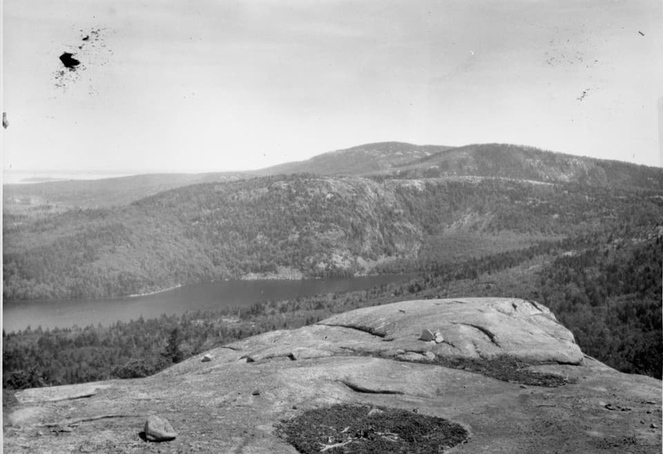
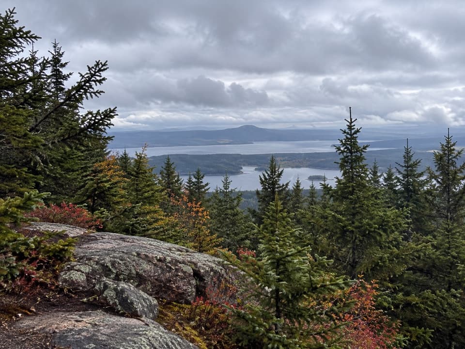
The viewBernard’s summit is heavily wooded, and new growth has blocked much of its old summit view.

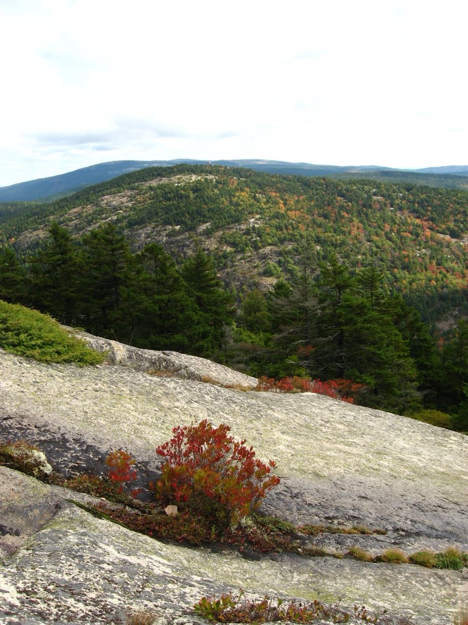
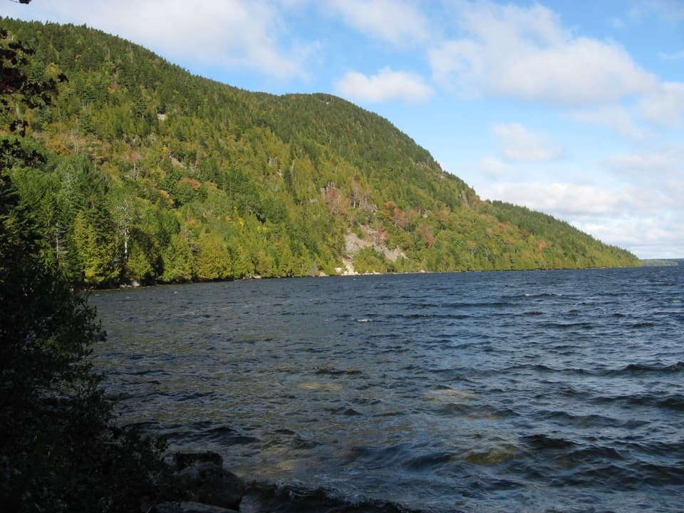
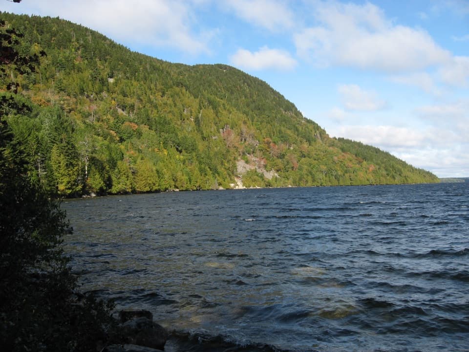
Bernard’s summit is heavily wooded, and new growth has blocked much of its old summit view. A small west-facing opening just beyond the Sluiceway junction looks across the western end of Mount Desert Island, though hemlocks partly screen it. For a clearer outlook, continue east across Little Notch to Knight Nubble’s small overlook toward Mansell Mountain and Southwest Harbor. That extra walk is outside the mapped 2.5-mile loop. The separate Great Notch itinerary is longer and uses different junctions.

Access and dogsSeal Cove Road leads to Western Mountain Road and the Mill Field trailhead; it becomes gravel…

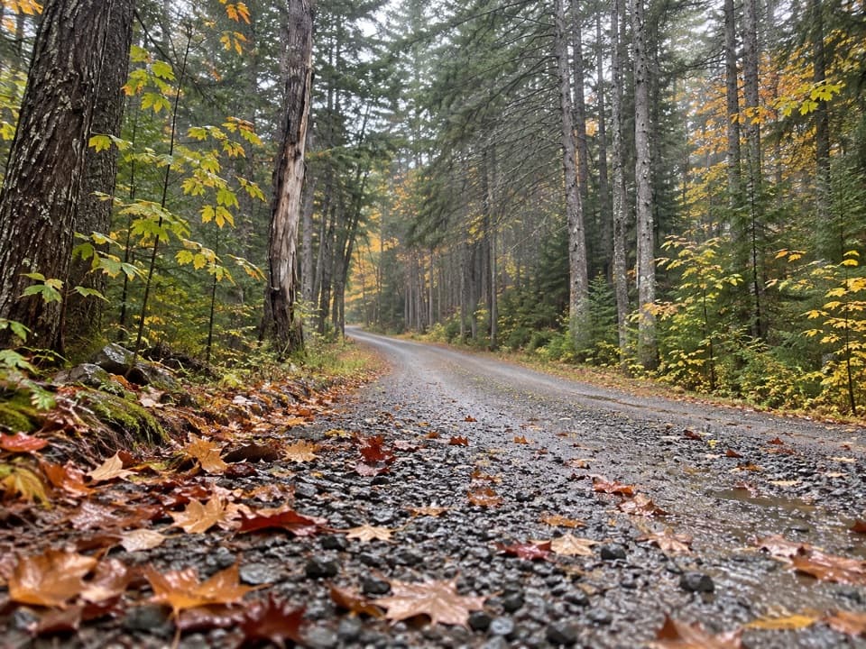
Seal Cove Road leads to Western Mountain Road and the Mill Field trailhead; it becomes gravel after entering park land. Its gate is usually closed from November through April, so check current access notices before a winter trip. An Acadia entrance pass is required unless you already have a qualifying pass. Dogs are allowed on this trail under the park’s leash rule: keep them on a leash no longer than six feet.
Wildlife

Wildlife in Acadia

All Acadia wildlife maps

Sighting maps show where each species has been reported across Acadia. Wildlife moves, so no sighting is guaranteed.

Keep exploring

Near Bernard Mountain Trail

See it all on the map

Trails that start nearby

Places near the trailhead

Parkwolf’s Acadia ranking

Top-rated trails in Acadia

All 142 trails
  1. 1Beehive Loop TrailChallenging · 1.4 mi
  2. 2Precipice TrailChallenging · 2.1 mi
  3. 3Jordan Pond PathModerate · 3.3 mi
  4. 4Bubbles TrailModerate · 1.5 mi
  5. 5Ocean PathEasy · 2.2 mi
  6. 6Cadillac Mountain South Ridge TrailChallenging · 7.8 mi

Take Parkwolf to Acadia.

The audio tour guide for the drive, plus offline maps, trails, and wildlife heatmaps for when the signal drops.

4.7 from 8,600+ ratings

Download Parkwolf on the App StoreGet Parkwolf on Google Play