Seaside Path in Acadia National Park

Acadia National Park, ME

Seaside Path

A gentle woodland link beneath an old stone bridge.

Length
1.4mi
Time
48min
Elev. change
187ft
Difficulty
Easy
  • Dogs allowed
  • High point 335 ft

Hear the audio tour

Jordan Pond and Popovers

Overview

About Seaside Path

Why go

  • Gentle grade through mature woodland.
  • A triple-arch stone bridge and nearby Rand memorial add real history.

Heads up

  • No sweeping views; this is a connector, not an overlook hike.
  • The southern through-connection toward Seaside Lane is uncertain.

Map & elevation

The route

Loading the Acadia map
Full map
Elevation148–335 ft
TrailheadSeaside Path north end near Jordan Pond House44.31883, -68.25317
Keep this map with you offline in the Parkwolf app

Plan your hike

Before you go

Parking

Approach the north end from the Jordan Pond House area and use Jordan Pond area parking. It is a popular hub, and the National Park Service warns that lots can be full, especially in the afternoon. Plan to walk back or verify transportation from the Seal Harbor side.

Safety

The current public connection beyond the mapped southern junction toward Seaside Lane is not established; plan to backtrack unless you verify access. Keep dogs on a leash no longer than six feet (two meters).

3 active Acadia alerts

  • ClosureSouthern Ocean Path section closed for repairsThe southern section of Ocean Path is closed for repairs from the trailhead across from the Otter Point parking lot to the trail’s southern terminus.Official details
  • ClosureSchoodic Mountain Road closed for repairsSchoodic Mountain Road is closed for repairs from Schoodic Loop Road to the summit of Schoodic Head.Official details
See all 3 alerts
A park ranger sits on a dash-mounted phone, talking, as Parkwolf’s Tour Guide plays “Army Cutworm Moths: A Grizzly Bear Buffet” on Grand Loop Road below Dunraven Pass in Yellowstone
Parkwolf Tour GuideThe highest, rockiest slopes around here are a summer buffet for grizzly bears.

Acadia Tour Guide

Your drive to Seaside Path, narrated.

Parkwolf is a GPS audio tour guide for Acadia National Park. As you drive, it chimes in with what’s ahead: hidden gems, upcoming stops, history, geology, and wildlife, right through your car’s speakers.

See the Acadia audio tour

Recorded for this area

Jordan Pond and Popovers
0:00 / 0:32
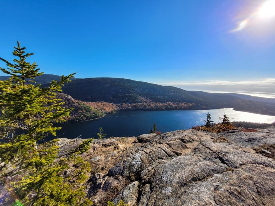
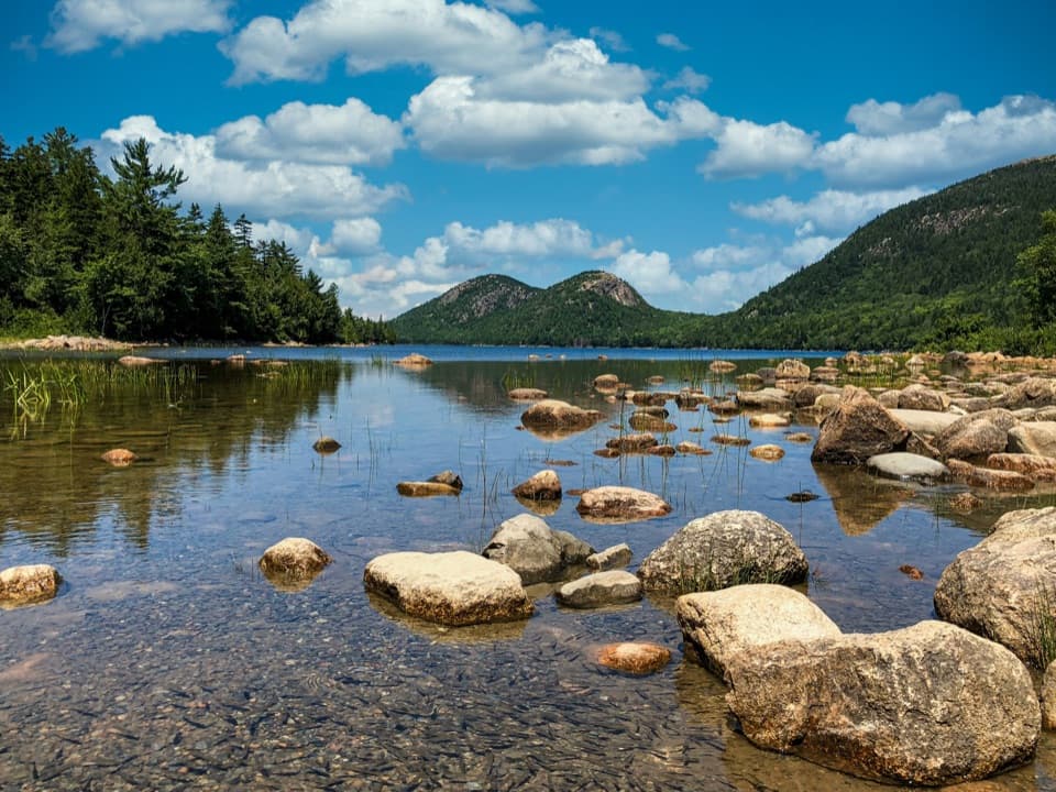
“Jordan Pond is coming up, with the rounded peaks called the Bubbles at the far end of the water. Walk down to the south shore for that classic view; you don't need to circle the lake to enjoy it.”

Plays on the road 0.1 mi from the trailhead in the Parkwolf Acadia Tour Guide.

More stories near here in the app

  • Stanley Brook Bridge’s Three Crossings
  • Wildwood Stables by Carriage
  • South Triad’s Wooded Summit
  • The Hermit Crab's Borrowed Shell
  • 116 audio storiesacross Acadia’s roads, triggered by GPS as you drive
  • Wildlife heatmapsfor Bald Eagle, Peregrine Falcon, White-tailed Deer, and 13 more
  • Works offlinemaps, 142 trails, 72 places, and audio download before you lose signal
  • CarPlay readysimple controls built for the drive
★★★★★
“…As we drove through Acadia it gave us a tour, which was really cool. Lots of great info about the parks and how to avoid the crowds. It’s a great travel companion!”
MyMysteryChicaApp Store review
Download Parkwolf on the App StoreGet Parkwolf on Google Play

4.7 from 8,600+ ratings

Trail guide

Hiking Seaside Path

A gentle walk toward Seal HarborSeaside Path is a 1.

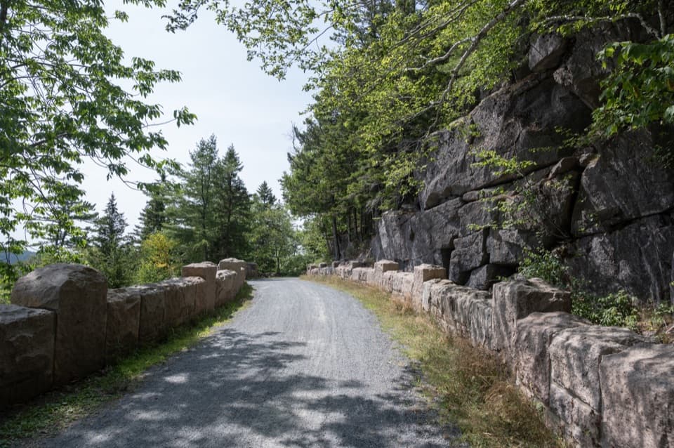
Seaside Path is a 1.4-mile, one-way woodland walk from the Jordan Pond House area toward Seal Harbor. It is a low-grade connector rather than a summit or shoreline hike: most of the route stays under trees, with a carriage-road bridge and a nearby memorial boulder giving it character. Allow about 45–60 minutes one way. Walking back along the same line makes about 2.9 miles total.

The park’s trail catalog lists 1.4 miles; an older description used about 2 miles to Seaside Lane. The current mapped NPS-designated line measures 1.44 miles and ends at a junction near Seal Harbor. A short same-named continuation appears beyond it, but its present public connection to the lane is unconfirmed. Treat this as a one-way mapped route and turn back unless you have verified onward access.

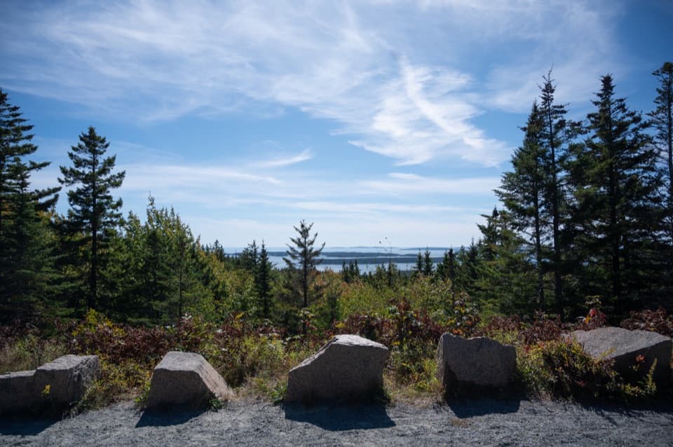
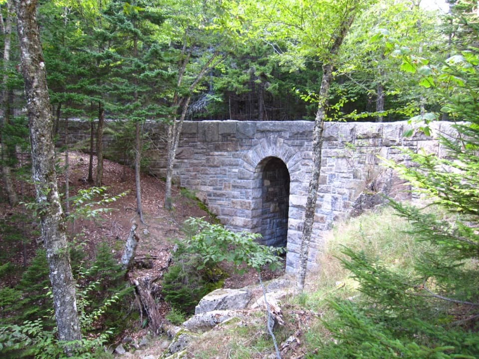
Under the carriage-road bridgeThe path is described as mostly level through mature woods, without sweeping views.

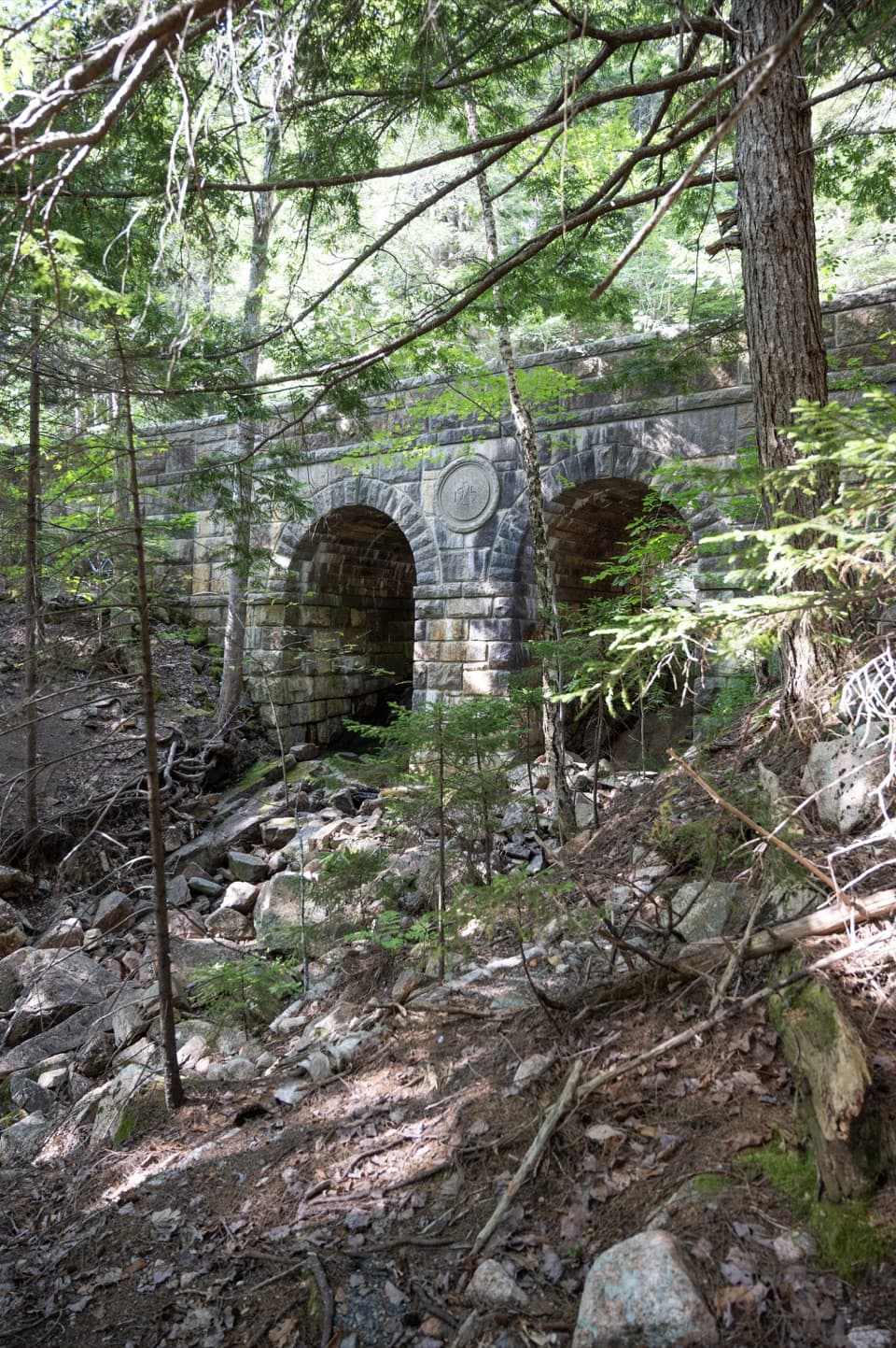
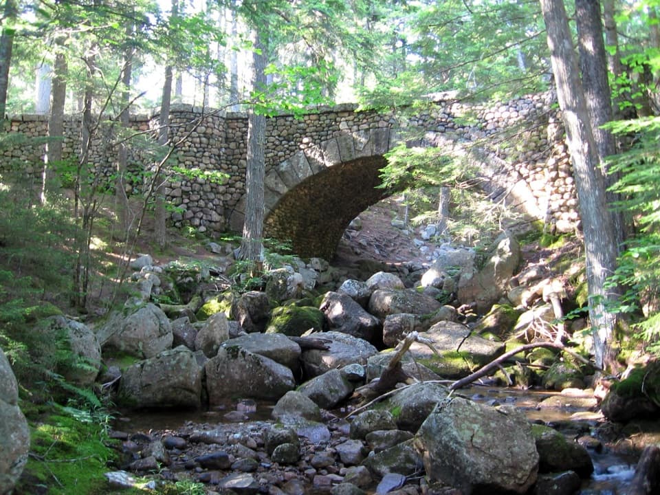
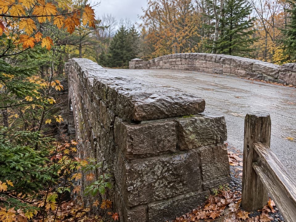
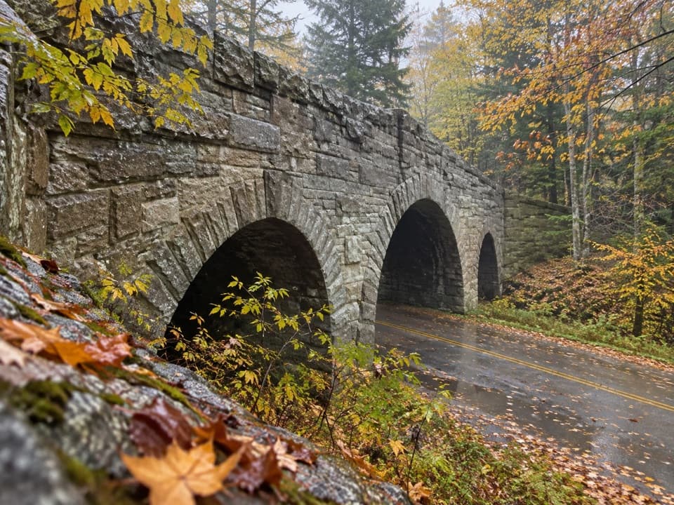
The path is described as mostly level through mature woods, without sweeping views. Its signature moment is Stanley Brook Bridge: the carriage road crosses above Stanley Brook Road on a triple-arch stone bridge completed in 1933, and the path passes beneath an end arch. A 2017 restoration rebuilt drainage and the gravel path surface; that description is historical, so expect ordinary woodland footing rather than a guaranteed current surface.

A path with a long memorySeaside Path belongs to Acadia’s older village path network, built to connect communities and…

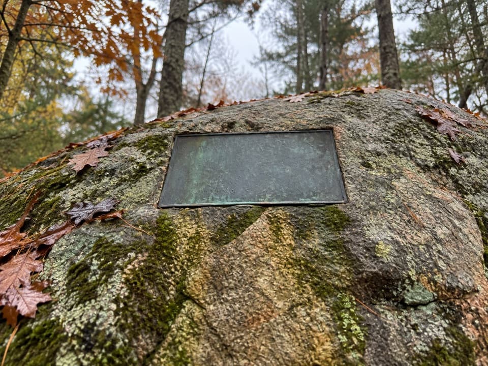
Seaside Path belongs to Acadia’s older village path network, built to connect communities and make the island walkable before the park existed. The nearby Edward Lothrop Rand memorial marks a botanist and mapmaker who helped document Mount Desert Island’s plants and woodland paths. Rand co-authored Flora of Mount Desert Island, Maine in 1894 and was an active trail builder.

Start and returnApproach the north end from the Jordan Pond House area.

Approach the north end from the Jordan Pond House area. Jordan Pond is a popular hub and its parking lots can fill, especially in the afternoon. Jordan Pond House is a separate dining stop nearby, known for tea and popovers. This is a point-to-point path with an uncertain southern connection, so plan on returning the way you came unless you have confirmed a ride or an open onward route. Dogs are allowed on most park trails and must stay on a leash no longer than six feet.

Wildlife

Wildlife in Acadia

All Acadia wildlife maps

Sighting maps show where each species has been reported across Acadia. Wildlife moves, so no sighting is guaranteed.

Keep exploring

Near Seaside Path

See it all on the map

Trails that start nearby

Places near the trailhead

Parkwolf’s Acadia ranking

Top-rated trails in Acadia

All 142 trails
  1. 1Beehive Loop TrailChallenging · 1.4 mi
  2. 2Precipice TrailChallenging · 2.1 mi
  3. 3Jordan Pond PathModerate · 3.3 mi
  4. 4Bubbles TrailModerate · 1.5 mi
  5. 5Ocean PathEasy · 2.2 mi
  6. 6Cadillac Mountain South Ridge TrailChallenging · 7.8 mi

Take Parkwolf to Acadia.

The audio tour guide for the drive, plus offline maps, trails, and wildlife heatmaps for when the signal drops.

4.7 from 8,600+ ratings

Download Parkwolf on the App StoreGet Parkwolf on Google Play