Overview
About Moab Fault Viewpoint
Why stop
- A clear fault view you can see without leaving the car.
Heads up
- A brief stop with little to do beyond the sign and rock layers.
Map
Where it is

The highest, rockiest slopes around here are a summer buffet for grizzly bears.
Arches Tour Guide
Your drive to Moab Fault Viewpoint, narrated.
Parkwolf is a GPS audio tour guide for Arches National Park. As you drive, it chimes in with what’s ahead: hidden gems, upcoming stops, history, geology, and wildlife, right through your car’s speakers.
See the Arches audio tourRecorded for this place
Moab Fault Viewpoint“You're coming up on Moab Fault Viewpoint, a tiny pullout for a visible break in the landscape.”
Plays as you drive up to Moab Fault Viewpoint in the Parkwolf Arches Tour Guide.
More stories near here in the app
- Arches Visitor Center
- Park Avenue Viewpoint
- La Sal Mountains Viewpoint
- Courthouse Towers Viewpoint
- 35 audio storiesacross Arches’s roads, triggered by GPS as you drive
- Wildlife heatmapsfor Bighorn Sheep, Pronghorn, Raven, and 13 more
- Works offlinemaps, 28 trails, 41 places, and audio download before you lose signal
- CarPlay readysimple controls built for the drive
“I can’t believe how helpful this app is and how interesting the information is for each highlight along the Arches Scenic Drive! This is the first park I’ve used it in.”


Guide
More about Moab Fault Viewpoint
A quick geology stopMoab Fault Viewpoint is a small roadside overlook on the Arches Scenic Drive, just above the…
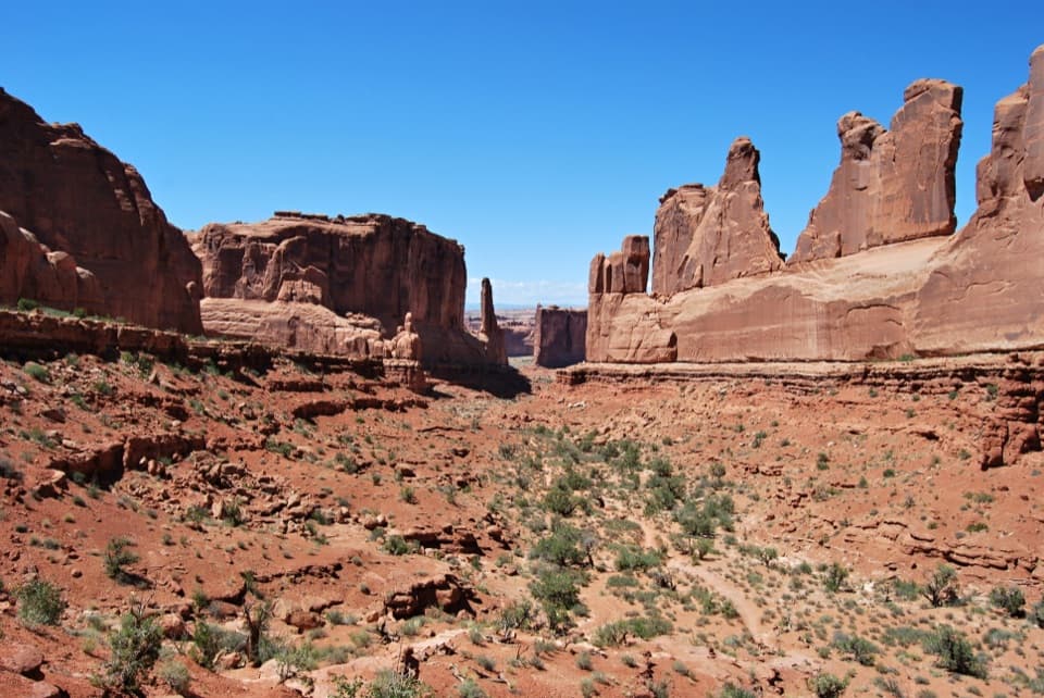
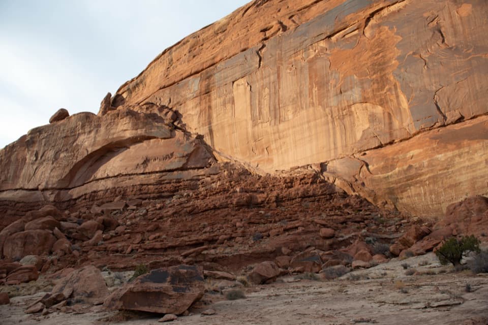
Moab Fault Viewpoint is a small roadside overlook on the Arches Scenic Drive, just above the entrance road and visitor center. The fault is the draw: compare the sharply different rock across the road from the pullout, or take in the view from your car. The paved pullout fits only one to three vehicles, so this is a short stop rather than a place to linger. The interpretive sign stands on uneven sandstone.
Spot the faultLook across the road and above the visitor center for a diagonal boundary between lower, wavy…
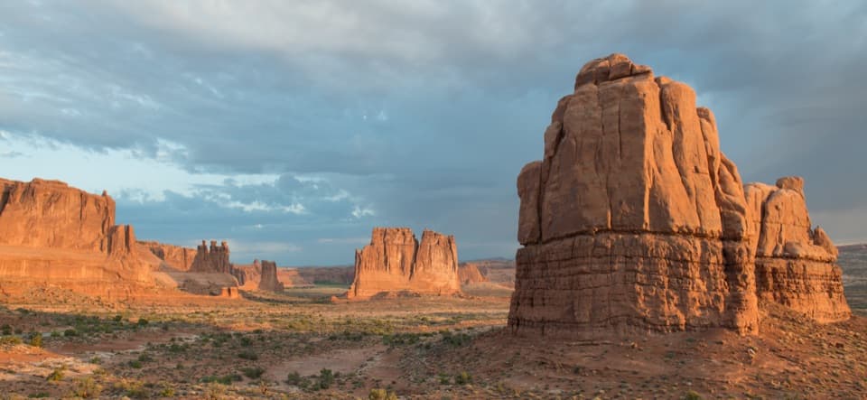
Look across the road and above the visitor center for a diagonal boundary between lower, wavy rock and a smoother vertical cliff. The highway follows part of the fracture, and a photo from the pullout can frame the canyon wall above the road. Smaller breaks are visible in the rock near the visitor center.
What the movement left behindAbout 240 million years ago, upward pressure shifted a miles-long section of crust, buckling…
About 240 million years ago, upward pressure shifted a miles-long section of crust, buckling and cracking it. Repeated uplift left the far side more than half a mile (0.8 km) higher. The west-side rock layers at this viewpoint are about 140 million years older than those on the east side, making the fault visible in both the height of the blocks and the change in the rock itself.
Wildlife
Wildlife in Arches
 14 sightingsBighorn SheepMost seen around 7 AMSighting map
 10 sightingsPronghornMost seen around 7 AMSighting map
 608 sightingsRavenMost seen around 9 AMSighting map
 187 sightingsMule DeerMost seen around 7 PMSighting map
 51 sightingsPrairie DogMost seen around 8 AMSighting map
 15 sightingsCoyoteMost seen around 6 AMSighting map
Sighting maps show where each species has been reported across Arches. Wildlife moves, so no sighting is guaranteed.