Parking
Use the small, unmarked roadside pullout just beyond the Courthouse Wash bridge, on the west (left) side when driving in from the Visitor Center. It also serves nearby Courthouse Wash walks, so the access is easy to pass.
Arches National Park, UT
An informal route to a narrow arch above open sandstone country.
Overview
Ring Arch Trail is an informal 2.9-mile out-and-back from an unmarked pullout just beyond Courthouse Wash to a narrow arch in a sandstone alcove. The approach starts mostly flat beside the wash, then crosses into open desert and slickrock. Allow about two to three hours. Go if you’re comfortable following social tracks across rock and wash; choose a maintained park trail if you want signs and a clear tread the whole way.
 Parkwolf’s verdictIs this the hike for you?
Map & elevation
Plan your hike

The highest, rockiest slopes around here are a summer buffet for grizzly bears.
Arches Tour Guide
Parkwolf is a GPS audio tour guide for Arches National Park. As you drive, it chimes in with what’s ahead: hidden gems, upcoming stops, history, geology, and wildlife, right through your car’s speakers.
See the Arches audio tourRecorded for this trailhead
Courthouse Wash Trailheads“You're approaching the Courthouse Wash trailheads, where the lower wash route leads into a creek canyon with red walls and sandstone pools.”
Plays as you drive up to this trailhead in the Parkwolf Arches Tour Guide.
More stories near here in the app
“I can’t believe how helpful this app is and how interesting the information is for each highlight along the Arches Scenic Drive! This is the first park I’ve used it in.”


Trail guide
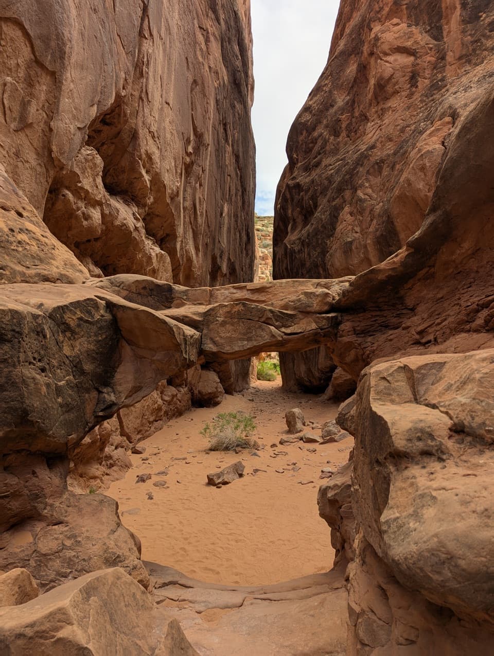
For the first half mile, the route parallels Courthouse Wash before crossing it near a sandstone cliff. From there, social paths and occasional cairns lead through grassland and a side wash toward the arch. The tread is intermittent, and route descriptions disagree about a short loop near the wash and which line to take back. The mapped approach is about 1.47 miles each way; this version returns along the same corridor, for about 2.9 miles total. Expect the exact footpath to vary. Keep to bare rock or sandy wash where possible to protect the fragile biological soil crust.
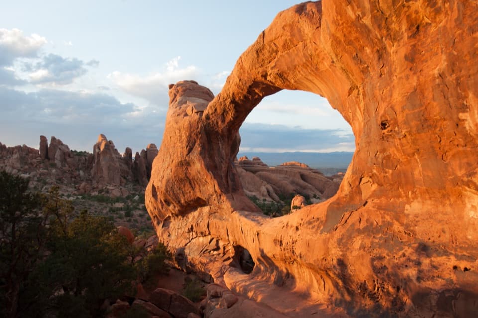
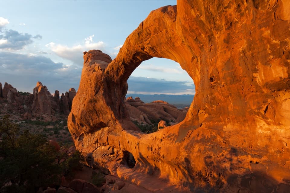
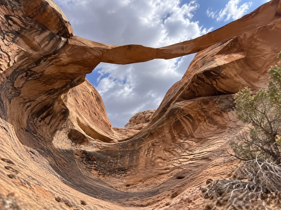
The arch is a thin sandstone span above a steep slickrock slope, with a meadow and views toward Park Avenue and the La Sal Mountains below. One November visit found the arch in shade before noon, while the distant mountains looked better later in the day; light changes with season and viewpoint. From the meadow, leave some of the slope in the frame to show how high the span sits. Stay below it: the park prohibits climbing, scrambling, walking, or standing on arches.
Ring Arch is an old pothole-type arch in Entrada Sandstone, reported at about 64 feet across and 39 feet high. Local photographer and former park custodian Harry Reed found it in 1940; former ranger Slim Mabery gave it the name. The narrow span and the open view over the meadow are the payoff for a route that takes more way-finding than the park’s maintained hikes.
Wildlife
 14 sightingsBighorn SheepMost seen around 7 AMSighting map
 10 sightingsPronghornMost seen around 7 AMSighting map
 608 sightingsRavenMost seen around 9 AMSighting map
 187 sightingsMule DeerMost seen around 7 PMSighting map
 51 sightingsPrairie DogMost seen around 8 AMSighting map
 15 sightingsCoyoteMost seen around 6 AMSighting map
Sighting maps show where each species has been reported across Arches. Wildlife moves, so no sighting is guaranteed.
Keep exploring
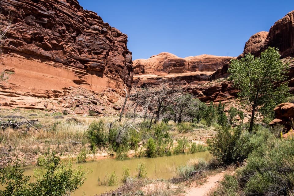 ModerateLower Courthouse Wash Route5.9 mi · 4 hr · 0.1 mi awayAn unmaintained wash walk with sandstone pools and a shuttle finish
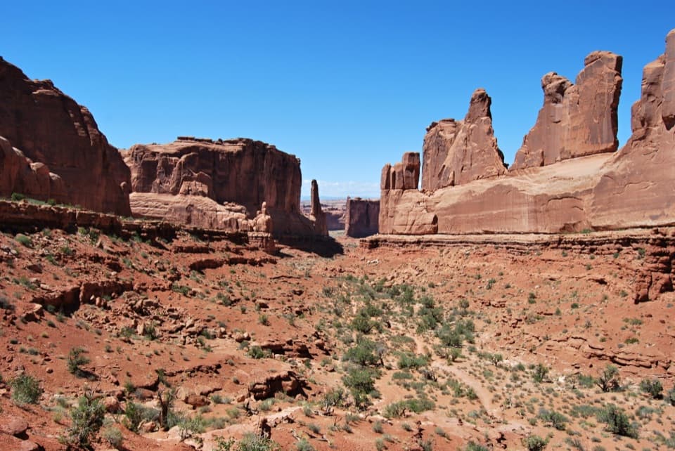 ModeratePark Avenue Trail1.8 mi · 1 hr · 1.7 mi awayA stairway into a canyon of towering sandstone monoliths
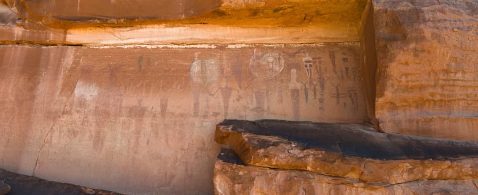 EasyCourthouse Wash Panel Trail0.8 mi · 45 min · 3 mi awayA short walk to a vivid panel of ancient rock markings.
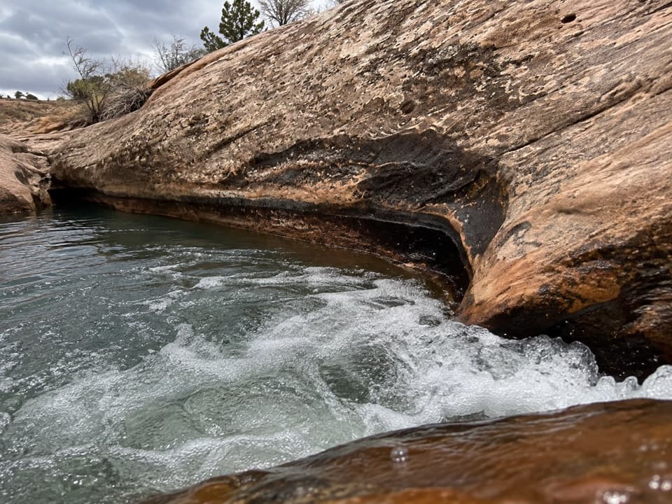 ChallengingUpper Courthouse Wash Route6 mi · 4.5 hr · 3.9 mi awaySix miles of sandstone wash, wet crossings, and no marked tread.
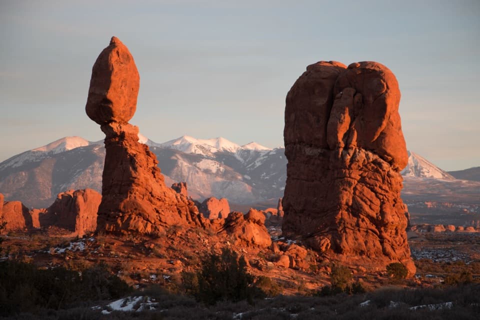 EasyBalanced Rock Trail0.3 mi · 20 min · 4 mi awayCircle a 128-foot rock with a 3,600-ton capstone.
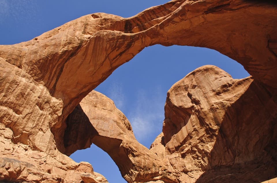 EasyDouble Arch Viewpoint and Trail0.6 mi · 30 min · 4.2 mi awayA short path to two joined spans in one landmark view.
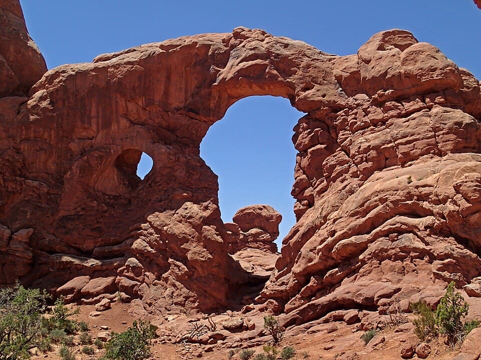 EasyThe Windows Trail1 mi · 1 hr · 4.3 mi awayThree arches, a loop behind the Windows, and a rough stone return.
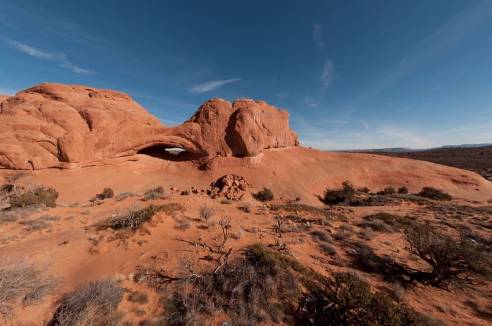 EasyEye of the Whale Arch Trail0.4 mi · 30 min · 4.6 mi awayA wash crossing leads to a low sandstone arch.
 Sight · 0.8 mi awayCourthouse Towers ViewpointSee the sandstone giants without hiking, or walk in for closer views.
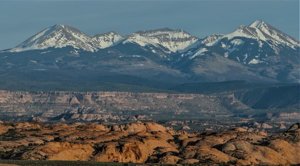 Sight · 1.3 mi awayPetrified Dunes ViewpointAncient dune patterns, a mountain backdrop, and a quick stop.
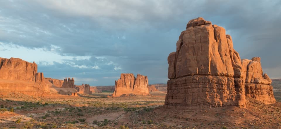 Sight · 1.6 mi awayLa Sal Mountains ViewpointRed-rock towers in front, the La Sal Mountains behind.Sight · 1.7 mi awayPark Avenue ViewpointA quick canyon overlook, with a longer walk among the monoliths.
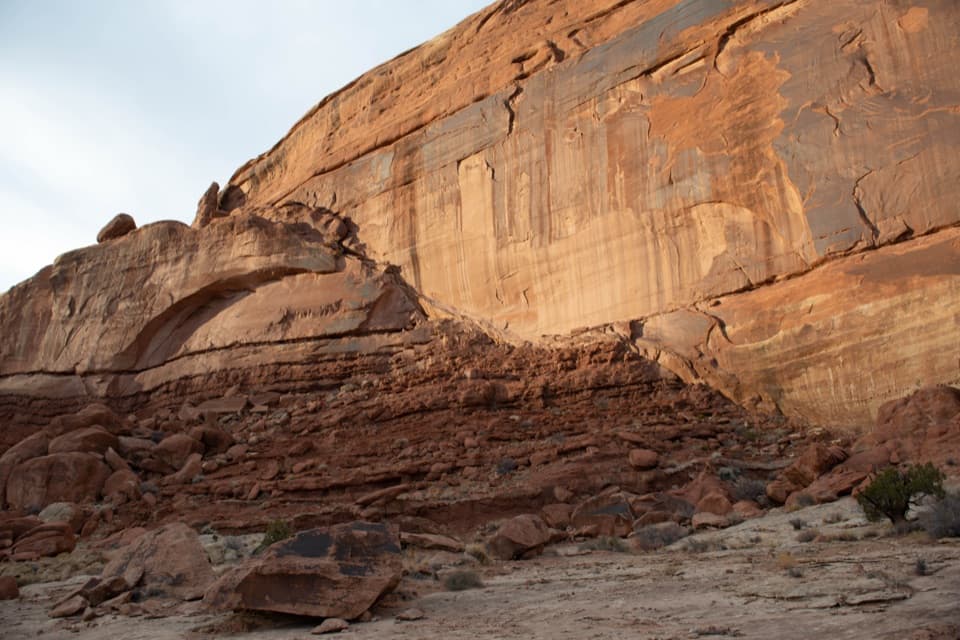 Sight · 2.3 mi awayMoab Fault ViewpointSee how the fault lifted far-side rock more than half a mile.
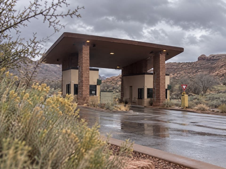 Entrance station · 2.5 mi awayArches Entrance StationThe fee booths where you can sort out admission before entering Arches.
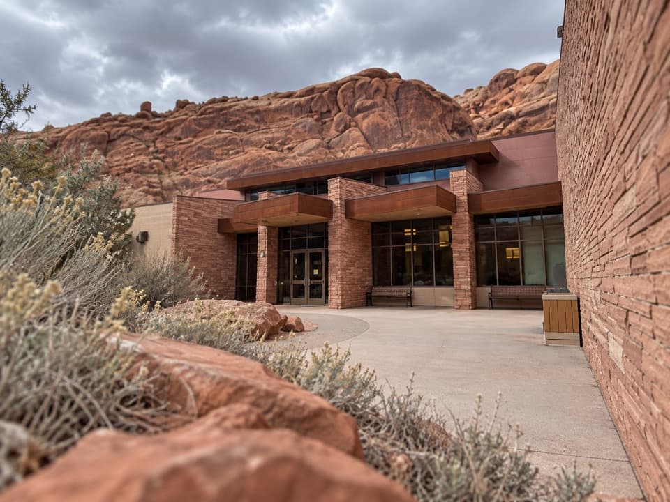 Visitor center · 2.6 mi awayArches Visitor CenterFill water, get your bearings, then choose a trail before the drive.
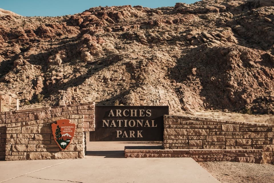 Sight · 2.7 mi awayArches National Park Entrance SignA quick welcome on the approach; keep it a drive-by.
Parkwolf’s Arches ranking
The audio tour guide for the drive, plus offline maps, trails, and wildlife heatmaps for when the signal drops.