Overview
About Petrified Dunes Viewpoint
Why stop
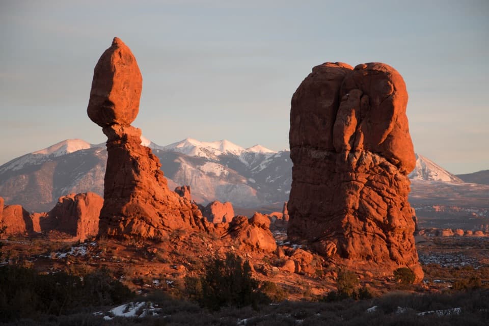
- A clear look at the park’s ancient sandstone story with the La Sal range behind it.
Heads up
- The dune forms are subtle from the road, with no trail for a closer look.
Map
Where it is

The highest, rockiest slopes around here are a summer buffet for grizzly bears.
Arches Tour Guide
Your drive to Petrified Dunes Viewpoint, narrated.
Parkwolf is a GPS audio tour guide for Arches National Park. As you drive, it chimes in with what’s ahead: hidden gems, upcoming stops, history, geology, and wildlife, right through your car’s speakers.
See the Arches audio tourRecorded for this place
Petrified Dunes Viewpoint“Petrified Dunes Viewpoint is coming up, a quick stop for an ancient dune field turned to stone. Look for sweeping patterns across the low sandstone ridges: mineral cement bound the sand grains together.”
Plays as you drive up to Petrified Dunes Viewpoint in the Parkwolf Arches Tour Guide.
More stories near here in the app
- Courthouse Wash Trailheads
- Water from a Seed
- Courthouse Towers Viewpoint
- La Sal Mountains Viewpoint
- 35 audio storiesacross Arches’s roads, triggered by GPS as you drive
- Wildlife heatmapsfor Bighorn Sheep, Pronghorn, Raven, and 13 more
- Works offlinemaps, 28 trails, 41 places, and audio download before you lose signal
- CarPlay readysimple controls built for the drive
“I can’t believe how helpful this app is and how interesting the information is for each highlight along the Arches Scenic Drive! This is the first park I’ve used it in.”


Guide
More about Petrified Dunes Viewpoint
What you’re looking atPetrified Dunes Viewpoint is a signed roadside pullout on Arches Scenic Drive, between…
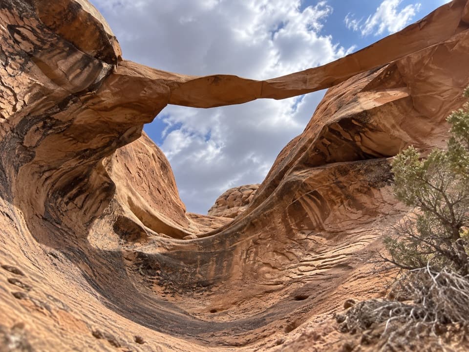
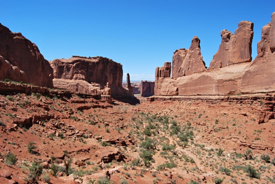
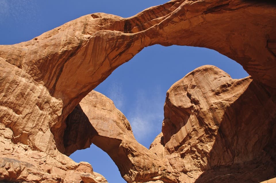
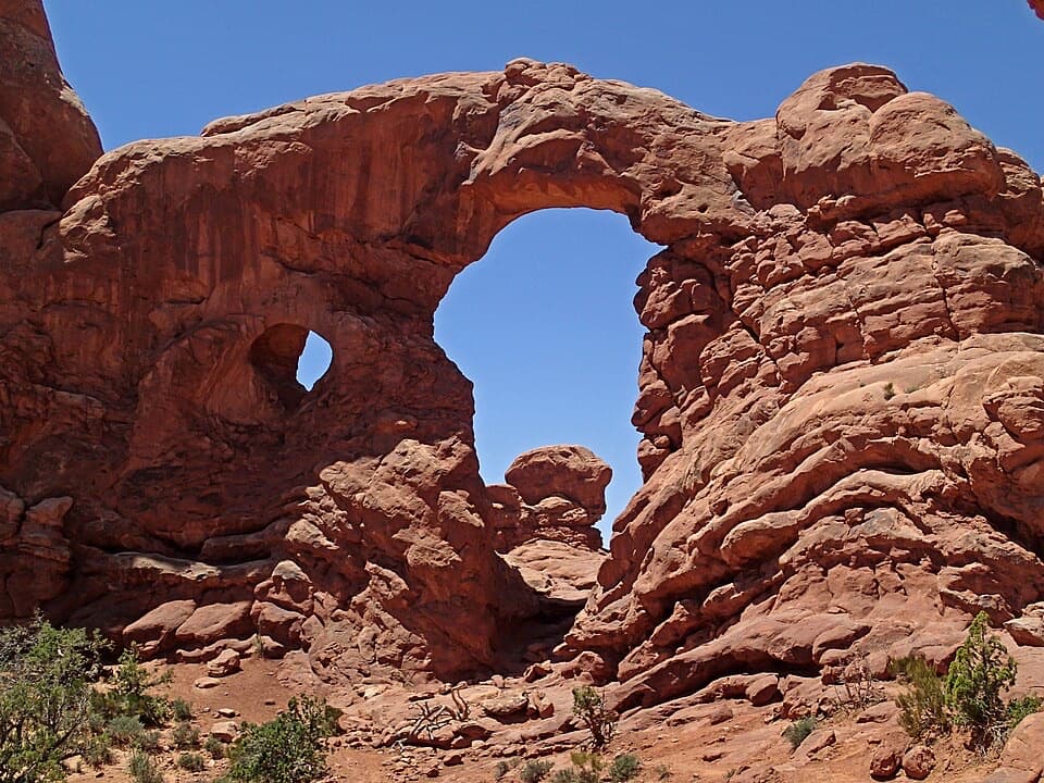
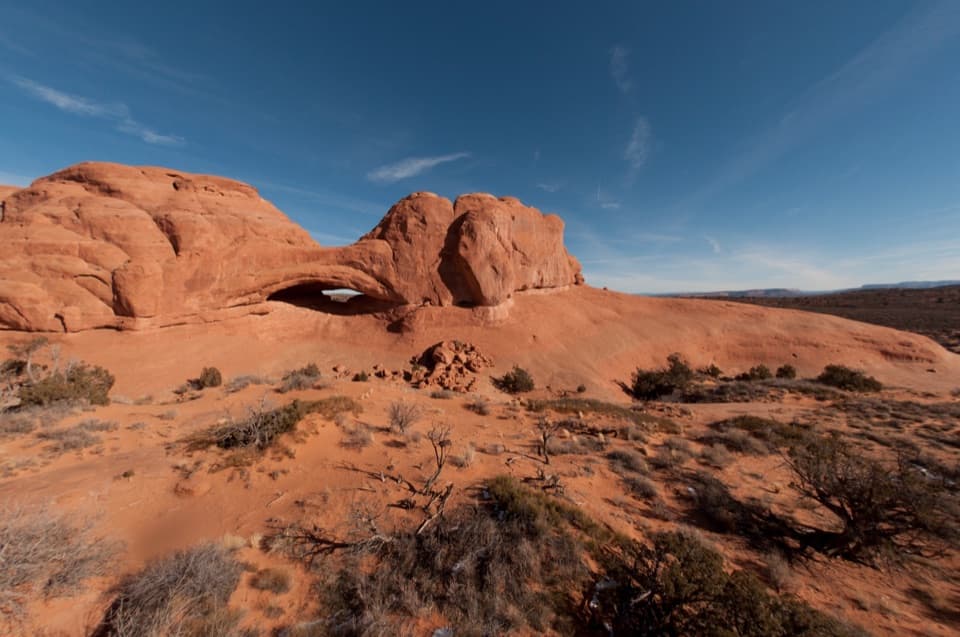
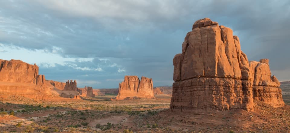
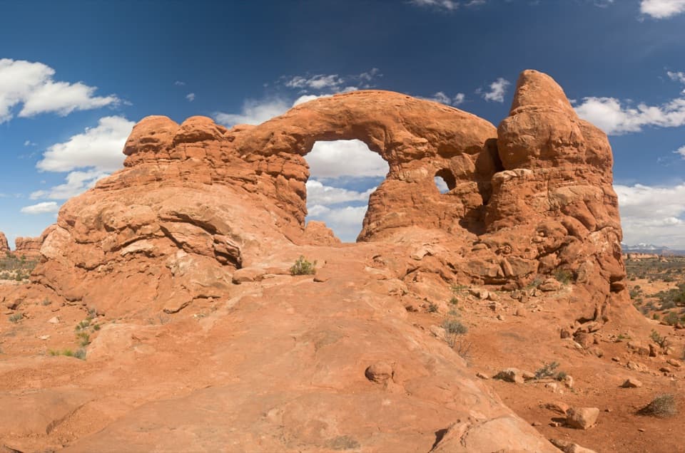
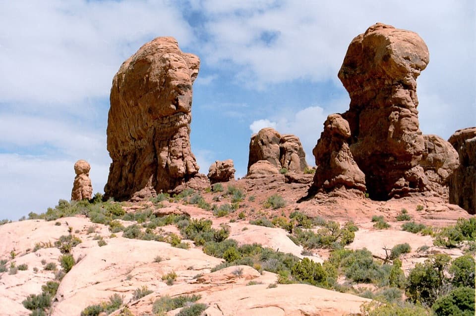
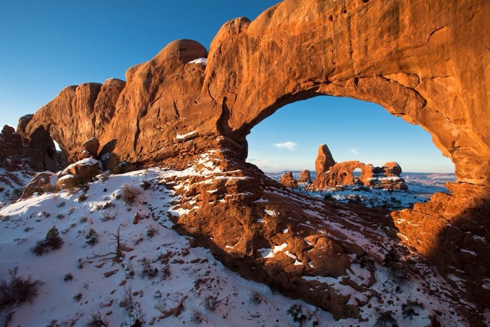
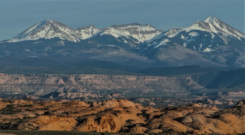
Petrified Dunes Viewpoint is a signed roadside pullout on Arches Scenic Drive, between Courthouse Towers and Balanced Rock. Across the low, rounded ridges, Navajo Sandstone shows its old dune patterns, with the La Sal Mountains behind it. This is a quick geology stop, not an arch hike. I’d pull in if you like reading the landscape; if you’re short on time and want arches, keep going. The dunes can be subtle from the road, so look for the repeating sweeps in the rock.
Make the roadside view countThis is a view from the road rather than a walk out across the dunes; there’s no established…
This is a view from the road rather than a walk out across the dunes; there’s no established trail into them. For a photo, keep the sandstone ridges low in the frame and the La Sal range above them. That gives you both the dune shapes and the scale of the wider landscape.
A dune field turned to stoneThe Navajo Sandstone began as a dune field during the Jurassic Period.
The Navajo Sandstone began as a dune field during the Jurassic Period. Burial and pressure compressed the sand, while calcium-carbonate cement bound the grains into rock. Later erosion stripped away the layers above, exposing the old dune forms you see here.
Wildlife
Wildlife in Arches
 14 sightingsBighorn SheepMost seen around 7 AMSighting map
 10 sightingsPronghornMost seen around 7 AMSighting map
 610 sightingsRavenMost seen around 9 AMSighting map
 188 sightingsMule DeerMost seen around 7 PMSighting map
 51 sightingsPrairie DogMost seen around 8 AMSighting map
 15 sightingsCoyoteMost seen around 6 AMSighting map
Sighting maps show where each species has been reported across Arches. Wildlife moves, so no sighting is guaranteed.