Overview
About Landscape Arch
Why stop
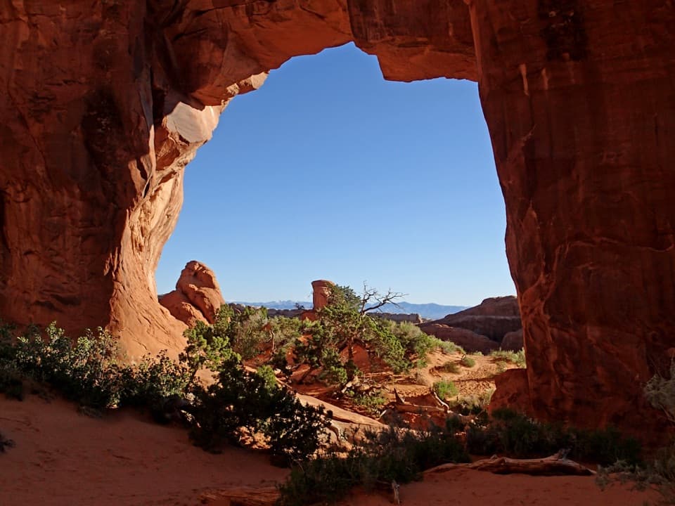
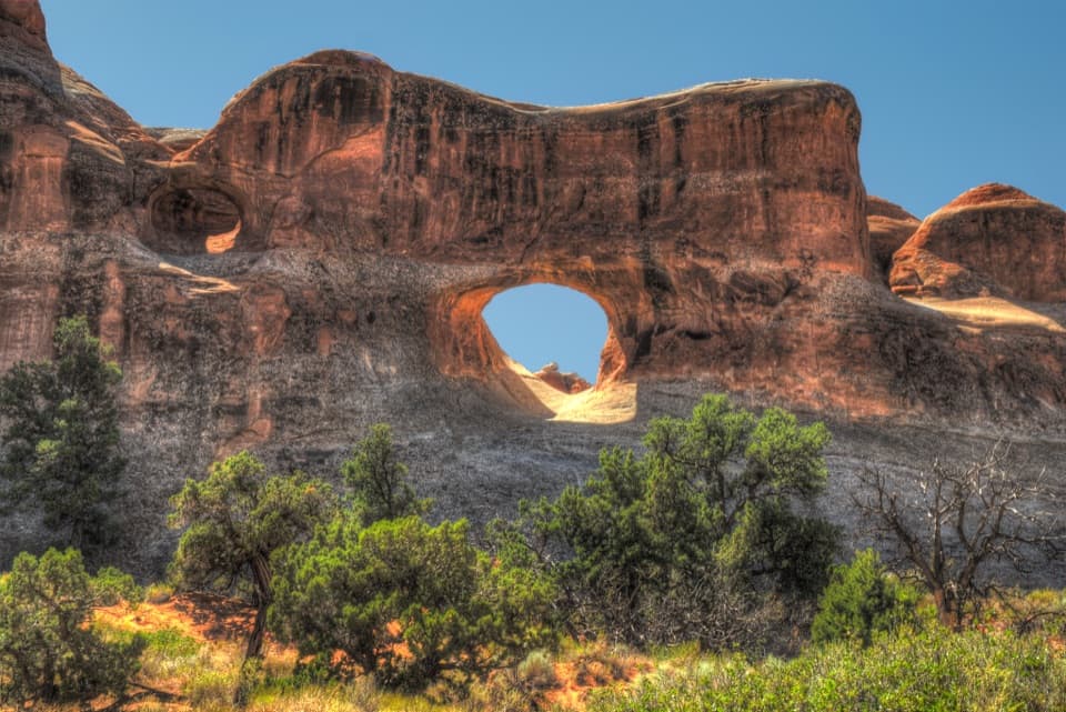
- Pine Tree and Tunnel arches make worthwhile short detours on the approach.
Heads up
- The viewing area is set back from the span.
Map
Where it is

The highest, rockiest slopes around here are a summer buffet for grizzly bears.
Arches Tour Guide
Your drive to Landscape Arch, narrated.
Parkwolf is a GPS audio tour guide for Arches National Park. As you drive, it chimes in with what’s ahead: hidden gems, upcoming stops, history, geology, and wildlife, right through your car’s speakers.
See the Arches audio tourRecorded for this place
Devils Garden and Landscape Arch“Devils Garden is coming up, with a walk through tall sandstone fins to Landscape Arch. It's my pick for a shorter outing: one point nine miles round trip, allowing an hour to an hour and a half with stops.”
Plays as you drive up to Landscape Arch in the Parkwolf Arches Tour Guide.
More stories near here in the app
- Devils Garden Campground and Tapestry Arch
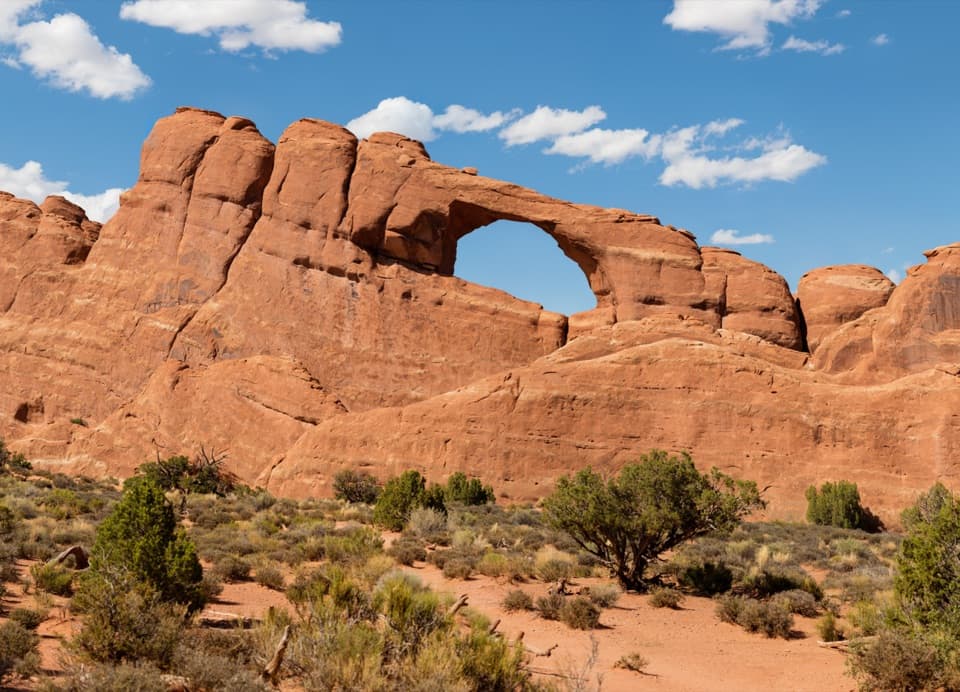
- Skyline Arch
- Ears That Shed Heat
- The Moth Inside the Yucca
- 35 audio storiesacross Arches’s roads, triggered by GPS as you drive
- Wildlife heatmapsfor Bighorn Sheep, Pronghorn, Raven, and 13 more
- Works offlinemaps, 28 trails, 41 places, and audio download before you lose signal
- CarPlay readysimple controls built for the drive
“I can’t believe how helpful this app is and how interesting the information is for each highlight along the Arches Scenic Drive! This is the first park I’ve used it in.”


Guide
More about Landscape Arch
Why make the walkLandscape Arch is a ribbon-thin sandstone arch at the far end of Devils Garden, in the northern…
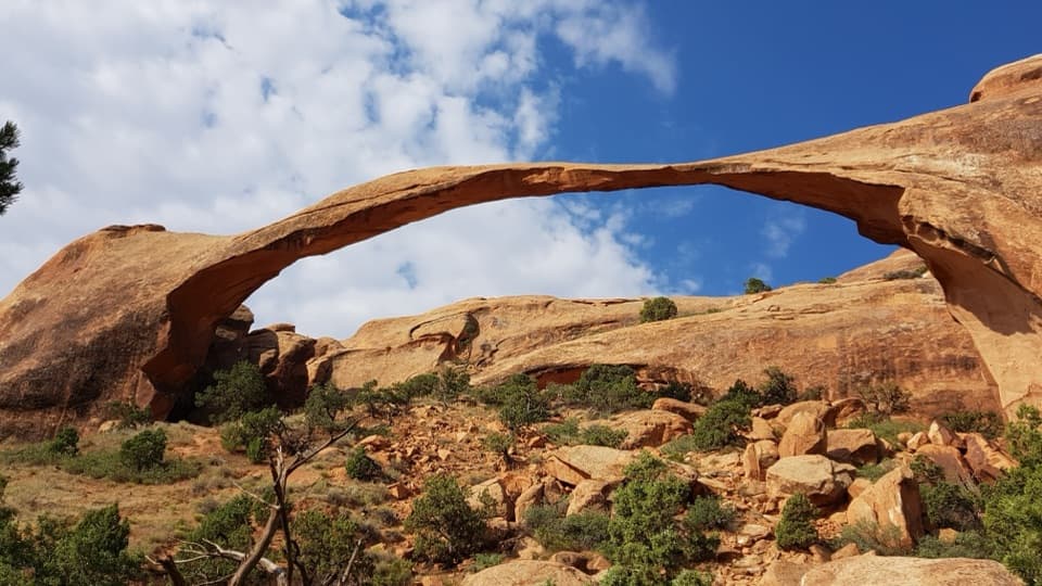
Landscape Arch is a ribbon-thin sandstone arch at the far end of Devils Garden, in the northern part of Arches. This is the easy out-and-back to the arch, about 1.9 miles round trip; it is a good way to see the headline feature without taking on the harder trail beyond. The span looks almost too slight to hold together, and the view makes more sense in person than in a photo.
The easy stretch through the finsThe hard-packed trail rises and dips among tall sandstone fins, with little overall elevation…
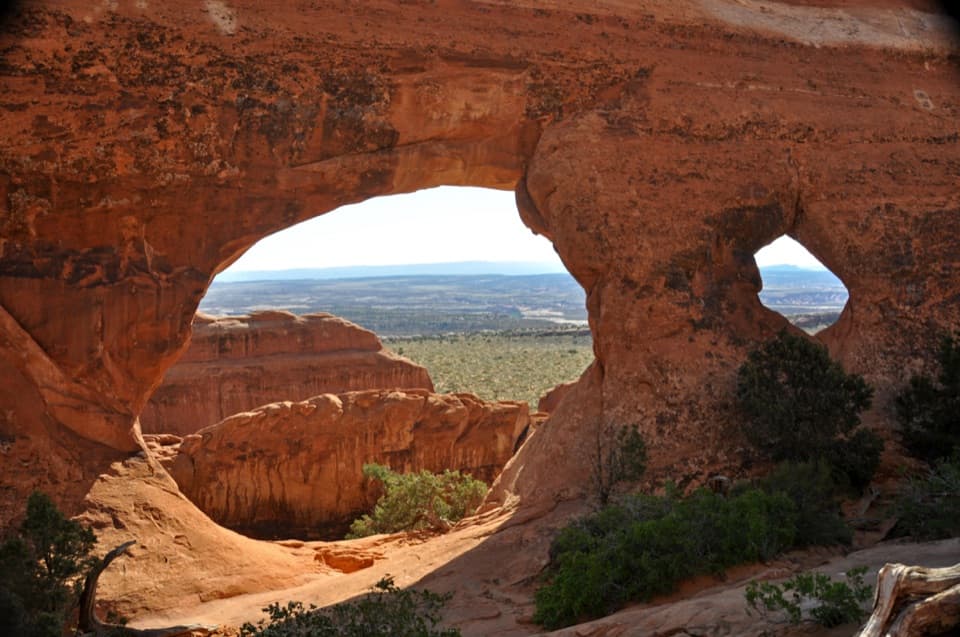
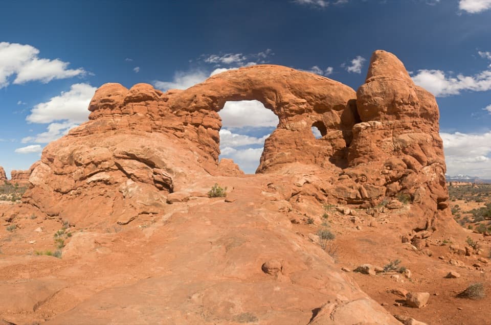
The hard-packed trail rises and dips among tall sandstone fins, with little overall elevation gain. Two short spurs reach Pine Tree Arch and Tunnel Arch between the trailhead and Landscape Arch; taking both adds about half a mile. Allow roughly 30–60 minutes for the Landscape Arch out-and-back, plus time for those detours if you want them.
Treat the arch as a natural turnaroundThe path ends at a protected view of the arch; visitors do not walk beneath it.
The path ends at a protected view of the arch; visitors do not walk beneath it. Beyond the arch, the route climbs steeply over sandstone slabs, with rough footing and narrow ledges. The more difficult walk toward Double O Arch involves scrambling with hands and feet. Turn back at Landscape Arch if you came for a short, manageable outing.
The first section is listed as barrier-free, but the slopes just before the arch can require assistance; beyond the arch, the trail is not wheelchair accessible. Dogs are not allowed on the trail.
A span that is hard to pictureIts opening stretches 306 feet, the longest arch span in North America.
Its opening stretches 306 feet, the longest arch span in North America. At its thinnest point, the rock is only about six feet across. The viewing area is set back from the arch, so it can look distant at first; take a moment to follow the whole line from one side to the other. The classic view holds the full opening against the sandstone wall, with the rocky slope below giving it scale.
The fall that changed itOn September 1, 1991, visitors heard cracking and watched a major rockfall from the arch.
On September 1, 1991, visitors heard cracking and watched a major rockfall from the arch. Large pieces broke away, a vivid reminder that sandstone arches keep changing. That event is part of what makes the remaining span feel so fragile; stay in the protected viewing area.
How the arch formedThe rock is Entrada Sandstone, formed from fine sand that shifted across an ancient desert.
The rock is Entrada Sandstone, formed from fine sand that shifted across an ancient desert. Movement in deep salt deposits cracked the overlying beds into long, parallel fins. Rain slowly loosens the cement holding the sandstone together, and freezing water widens cracks; over time, openings form through the fins. Landscape Arch is one striking stage in that process, not a finished or permanent shape.
Start at the trailheadDevils Garden is at the end of the park road, about 18 miles and 45 minutes from the visitor…
Devils Garden is at the end of the park road, about 18 miles and 45 minutes from the visitor center. Its parking lot often fills for long stretches at busy times, so an early start can save a wait. Restrooms are open year-round, while drinking water is available at the trailhead only in spring through fall; plan for the hike without counting on a refill at the arch.
Wildlife
Wildlife in Arches
 14 sightingsBighorn SheepMost seen around 7 AMSighting map
 10 sightingsPronghornMost seen around 7 AMSighting map
 610 sightingsRavenMost seen around 9 AMSighting map
 188 sightingsMule DeerMost seen around 7 PMSighting map
 51 sightingsPrairie DogMost seen around 8 AMSighting map
 15 sightingsCoyoteMost seen around 6 AMSighting map
Sighting maps show where each species has been reported across Arches. Wildlife moves, so no sighting is guaranteed.