Overview
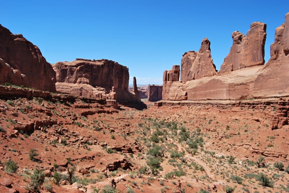
About Park Avenue Viewpoint
Why stop
- Towering canyon walls from an accessible paved overlook.
Heads up
- The canyon walk begins with a long flight of stairs.
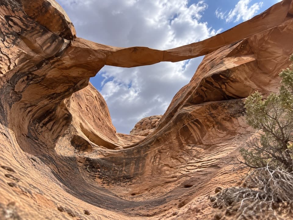
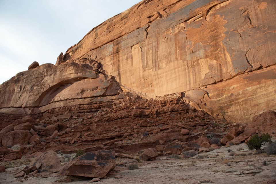
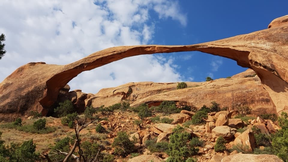
Look high on the right-hand wall for Park Avenue Arch. You can see it from the parking area, but it doesn’t read as a through-arch from this angle. The long corridor is the stronger composition: include the canyon floor below the walls so the view keeps its depth.
 Parkwolf’s verdictA detail for your photo
Map
Where it is

The highest, rockiest slopes around here are a summer buffet for grizzly bears.
Arches Tour Guide
Your drive to Park Avenue Viewpoint, narrated.
Parkwolf is a GPS audio tour guide for Arches National Park. As you drive, it chimes in with what’s ahead: hidden gems, upcoming stops, history, geology, and wildlife, right through your car’s speakers.
See the Arches audio tourRecorded for this place
Park Avenue Viewpoint“Park Avenue Viewpoint is coming up, where tall red-rock walls and spires line a narrow canyon.”
Plays as you drive up to Park Avenue Viewpoint in the Parkwolf Arches Tour Guide.
More stories near here in the app
- La Sal Mountains Viewpoint
- Moab Fault Viewpoint
- Courthouse Towers Viewpoint
- Arches Visitor Center
- 35 audio storiesacross Arches’s roads, triggered by GPS as you drive
- Wildlife heatmapsfor Bighorn Sheep, Pronghorn, Raven, and 13 more
- Works offlinemaps, 28 trails, 41 places, and audio download before you lose signal
- CarPlay readysimple controls built for the drive
“I can’t believe how helpful this app is and how interesting the information is for each highlight along the Arches Scenic Drive! This is the first park I’ve used it in.”


Guide
More about Park Avenue Viewpoint
What it isPark Avenue Viewpoint is a paved roadside overlook into a corridor of towering red-rock walls…
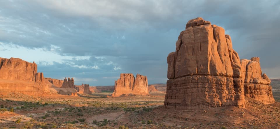
Park Avenue Viewpoint is a paved roadside overlook into a corridor of towering red-rock walls and carved spires, 3.6 miles beyond the visitor center. It’s often the first big view of Arches, and an easy choice if you want the canyon’s scale without a hike. The paved sidewalk to the overlook is wheelchair accessible; the trail below is a different outing.
Walk among the towersIf you want to get down into the canyon, descend the long stairs and follow Park Avenue toward…
If you want to get down into the canyon, descend the long stairs and follow Park Avenue toward Courthouse Towers. The route is about 1.8 miles round trip, with 322 feet of elevation change; allow about an hour. Beyond the stairs, expect sand and uneven ground. To avoid the steep staircase, start at the trail’s north end. If you make a round trip from the viewpoint, retrace the trail rather than walking along the road. Dogs aren’t allowed on the trail.
Look for the visitor-given namesThe tall formations have nicknames that make the walk feel like a lineup: Queen Nefertiti,…
The tall formations have nicknames that make the walk feel like a lineup: Queen Nefertiti, Queen Victoria, and Sausage Rock, also called the Corndog. They’re names visitors gave the shapes, so look for the profiles from the paved overlook and again as you move between the walls.
The slow work behind the wallsAcross Arches, the red Entrada Sandstone began as fine sand dunes.
Across Arches, the red Entrada Sandstone began as fine sand dunes. After burial, the rock fractured as the region rose; water and winter ice widened the cracks, gradually shaping walls into fins and, elsewhere, fins into arches. Park Avenue gives you a close look at the walls and towers in that larger story.
Wildlife
Wildlife in Arches
 14 sightingsBighorn SheepMost seen around 7 AMSighting map
 10 sightingsPronghornMost seen around 7 AMSighting map
 610 sightingsRavenMost seen around 9 AMSighting map
 188 sightingsMule DeerMost seen around 7 PMSighting map
 51 sightingsPrairie DogMost seen around 8 AMSighting map
 15 sightingsCoyoteMost seen around 6 AMSighting map
Sighting maps show where each species has been reported across Arches. Wildlife moves, so no sighting is guaranteed.