
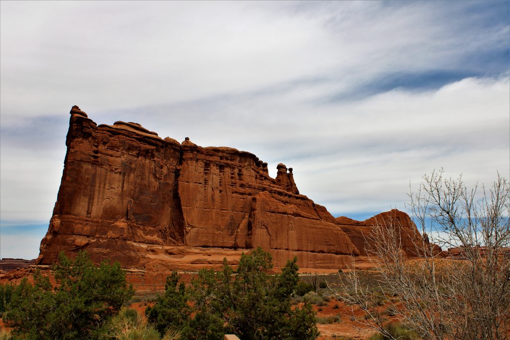
Place · 0.6 mi away
Moderate
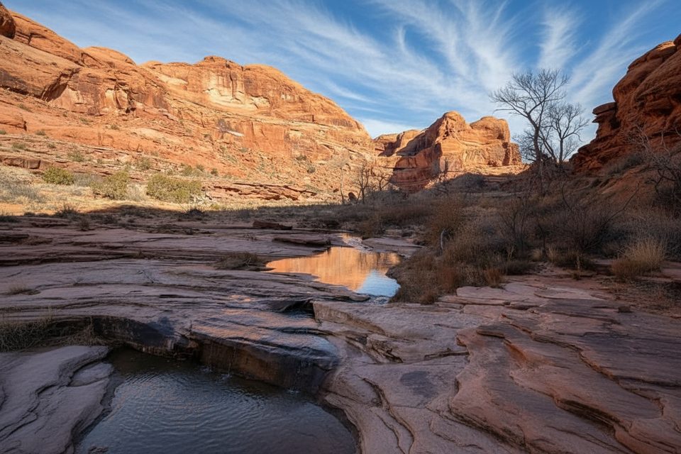
Lower Courthouse Wash is the rare Arches hike where water steals the show. This point‑to‑point route follows a perennial creek through a broad canyon lined with cottonwoods and willows, offering shade, pockets of solitude, and shallow swimming holes. Expect frequent wading and some mud—it’s usually easier (and more fun) to walk in the creek than slog through deep sand. Plan on about 5.5 miles one way; most hikers arrange a shuttle rather than doubling back.
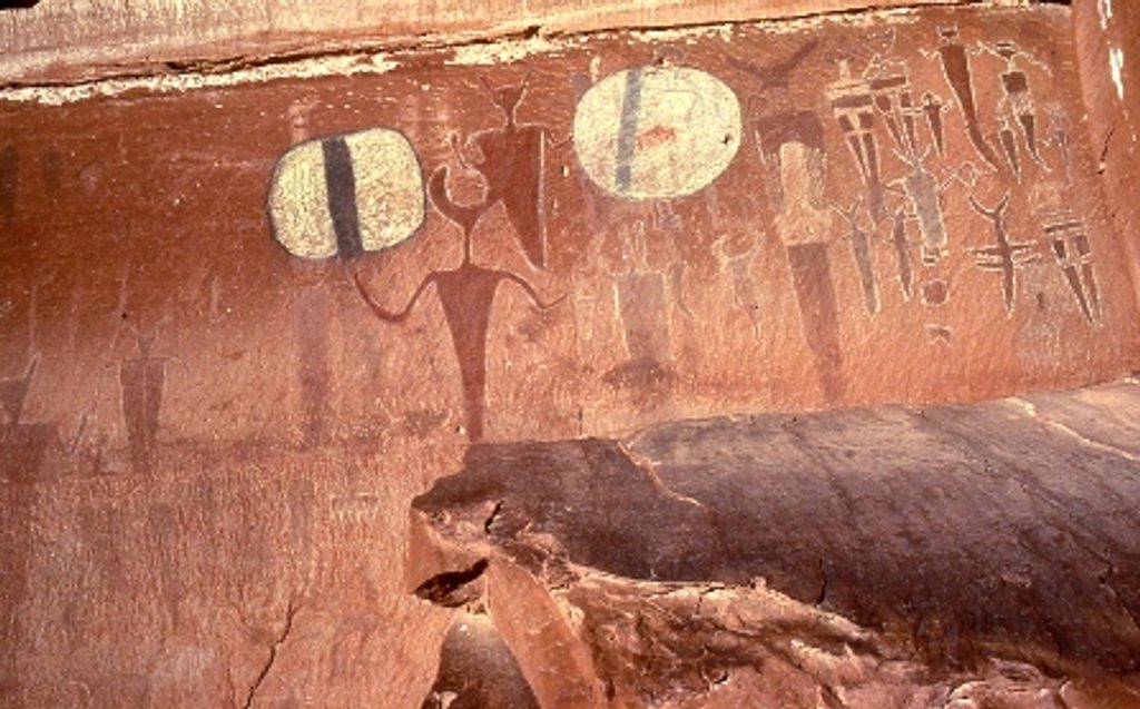
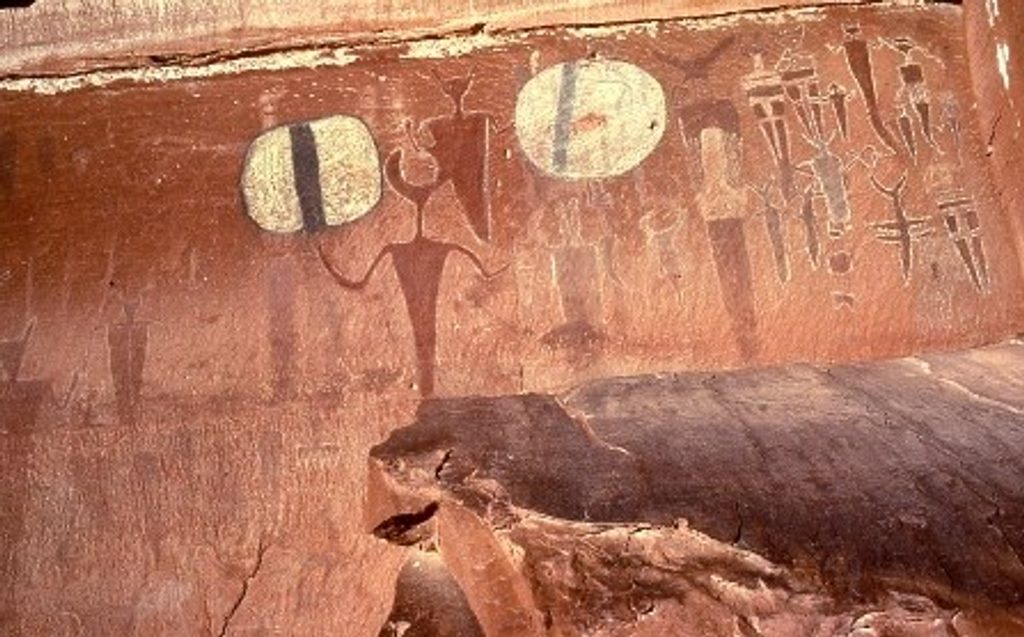
You’ll drop into a wide desert canyon and simply follow the wash downstream. The riparian corridor attracts birds and small mammals, and the stream forms pools and occasional swimming holes—perfect in hot weather. Near the lower end, a short signed detour leads to the Courthouse Wash rock art panel with striking Barrier Canyon‑style figures. Don’t come here for arches—there aren’t any—and that’s part of the appeal: fewer people, more calm.
Navigation is primitive but straightforward: stay in the wash and head downstream. Surfaces alternate between sandy bars, slickrock ledges, and the creekbed itself. It’s a moderate effort with minimal elevation change but lots of wet feet and uneven footing. Figure 2.5–4 hours for a one‑way trip, longer if you linger at pools or explore side canyons.
Start just north of the Courthouse Wash bridge on the Arches Entrance/Scenic Drive and descend informal paths into the wash. Finish at US‑191 near the Colorado River. A shuttle is strongly recommended; doing this out‑and‑back is a long, sandy day. If you begin inside the park, the standard entrance fee applies; starting from the US‑191 end does not require passing a fee booth.
Spring and fall bring comfortable temperatures and moderate water levels. Summer is hot but surprisingly pleasant here thanks to shade and swims. Avoid the wash after heavy rain—flash flooding is a real risk. Cell service is spotty; don’t count on your phone.
Wear water shoes or secure sandals—you’ll be in and out of the creek all day. Pack a small towel or dry layer if you plan to swim. The route is unmarked and feels backcountry despite its proximity to the road ends; treat it with appropriate caution. If you want arches and slickrock vistas instead, pick one of the park’s marquee hikes; if you want a quiet canyon wander with water, this is your move.
Upper end: Park near the Courthouse Wash bridge along the Arches Entrance/Scenic Drive, then cross the road and descend worn paths into the wash. Lower end: From US‑191 near the Colorado River, use the Moab Canyon Pathway to cross the Courthouse Wash bridge and enter the canyon.
Frequent creek crossings, mud, and slick surfaces; flash flood danger after heavy rain; primitive, lightly marked route with spotty cell service. Expect to get wet.
Place · 0.6 mi away
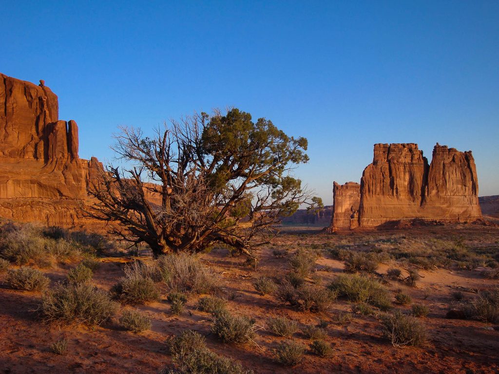
Place · 0.8 mi away
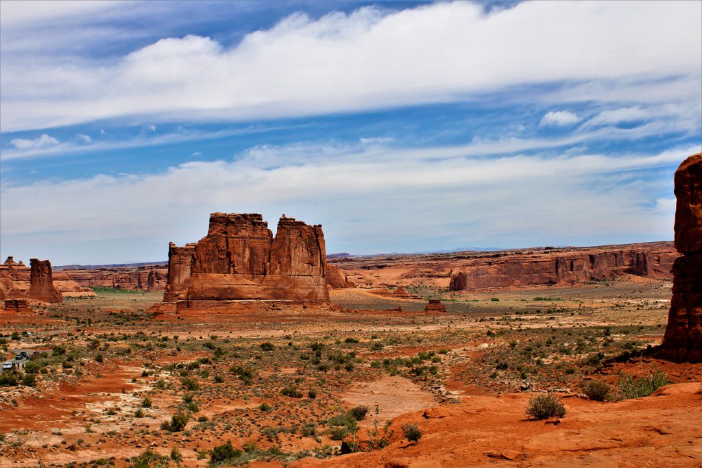
Place · 0.8 mi away
Place · 0.9 mi away
Easy · 1.6 mi away
Moderate · 3 mi away
Easy · 3 mi away
Easy · 4.1 mi away

Parkwolf Tour Guide
