Parking
Kelly Creek car park on SH 73. Follow the Carroll Hut Track briefly to the Hunts Creek turn-off.
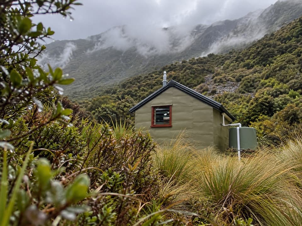
Arthur's Pass National Park, CB · WC
A rough riverbed tramp to a hut in a high tussock basin.
Overview
Map & elevation
Plan your hike

The highest, rockiest slopes around here are a summer buffet for grizzly bears.
Arthur's Pass Tour Guide
Parkwolf is a GPS audio tour guide for Arthur's Pass National Park. As you drive, it chimes in with what’s ahead: hidden gems, upcoming stops, history, geology, and wildlife, right through your car’s speakers.
Recorded for this area
Kellys Creek and Carroll Hut“You're approaching Kellys Creek, the start of the steep walk to Carroll Hut. Allow six hours return, climbing about seven hundred and sixty metres through forest to a tussock basin.”
Plays near this trailhead in the Parkwolf Arthur's Pass Tour Guide.
More stories near here in the app
“Fantastic app with many points of information… It’s great to just turn on while you’re driving and it gives you an audio tour of the national Park. We love it!!!!”


Trail guide
Hunt Saddle Track to Hunts Creek Hut is a hard out-and-back through river gravel, forest, tussock and scree to a small hut in a high valley basin. The mapped line is about 8.4 km each way (16.8 km return). There is a distance mismatch: the listed figure is 13 km return, so plan for the longer mapped version. Allow 8 to 9 hours. This is a proper backcountry tramp for people comfortable with rough, unformed ground, not an easy hut stroll.
Start at the Kelly Creek car park on SH 73, following the Carroll Hut Track briefly before turning onto the steep track above a gorged reach of Kellys Creek. It drops back to the creek, and much of the next stretch follows gravel riverbed with short sections of track. After heavy rain, high water can make this travel impassable. Near the head of the valley, pick up the track on the true left and climb through light forest and open red tussock toward Hunt Saddle.
The saddle is muddy, with head-high tussock and deep holes that are easy to miss. It is also difficult to navigate; follow the marker poles and take your time. Beyond it, the rough forest sidle rises and falls above Hunts Creek, crossing two large screes before dropping to the basin flat. The hut clearing is visible earlier than the hut itself, which appears only in the last roughly 100 m.
Hunts Creek Hut is a standard four-bunk Forest Service hut dating to the 1960s. It has heating, mattresses and a non-flush toilet. The tap water is untreated and must be boiled. Bookings are not required; bunks are first come, first served. No pets are allowed in the national park.
Wildlife
 982 sightingsKeaMost seen around noonSighting map
 39 sightingsNew Zealand FalconMost seen around 5 PMSighting map
 190 sightingsBlue DuckMost seen around 5 PMSighting map
 20 sightingsKākāMost seen around 8 AMSighting map
 15 sightingsWekaMost seen around 7 AMSighting map
 15 sightingsParadise ShelduckMost seen around 6 PMSighting map
Sighting maps show where each species has been reported across Arthur's Pass. Wildlife moves, so no sighting is guaranteed.
Keep exploring
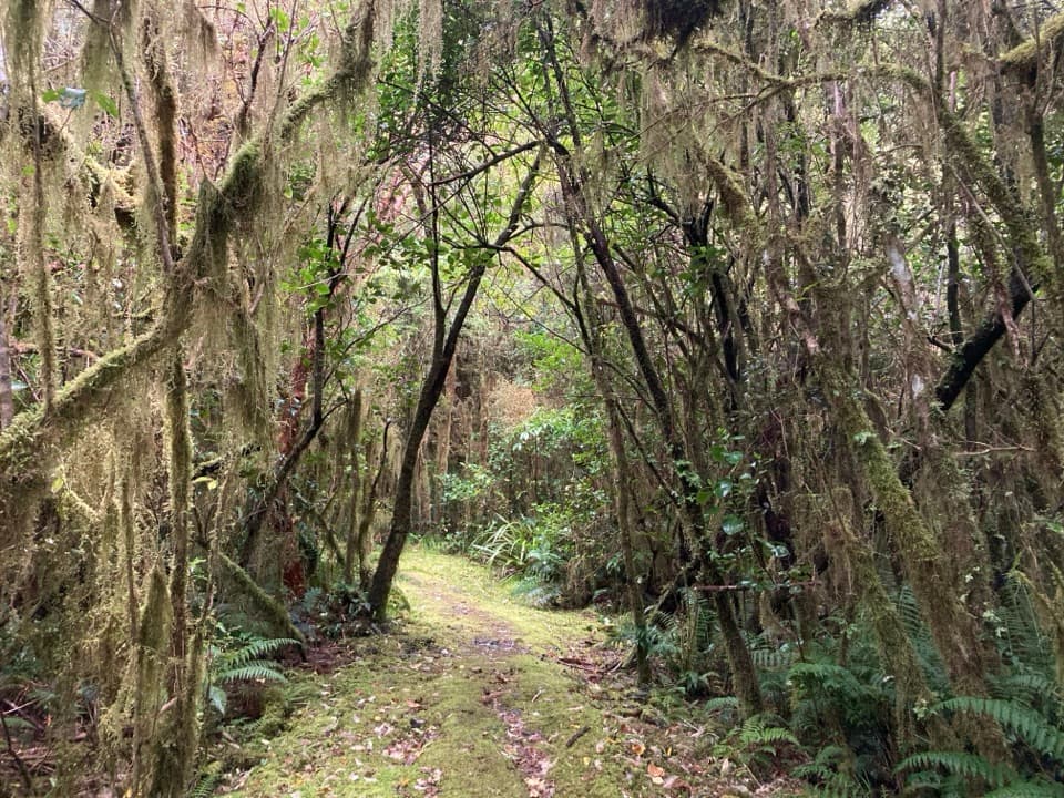 ModerateCockayne Nature Walk1 km · 30 min · At the trailheadA short, steep climb through lush rainforest to a hilltop bench.
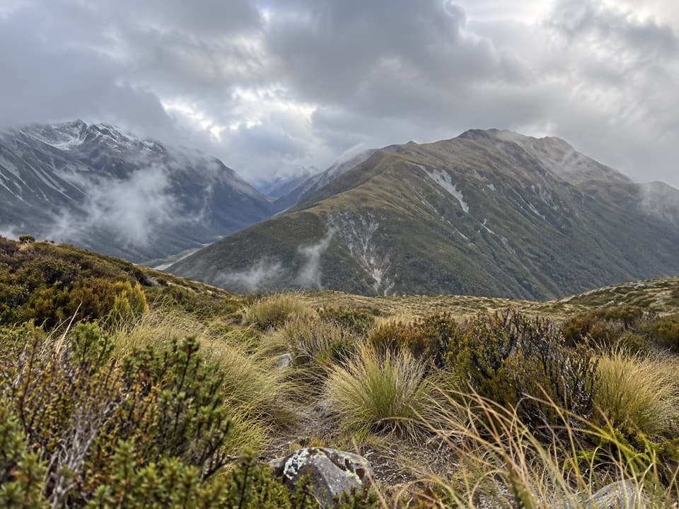 ChallengingKellys Hill via Carroll Hut8 km · 8 hr · At the trailheadA steep forest climb to an exposed summit and Tasman Sea views.
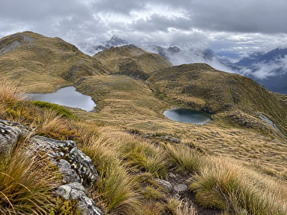 ChallengingKelly Range Tarns via Carroll Hut10 km · 8.5 hr · At the trailheadA steep hut climb opens to Kelly Range tarns and alpine views.
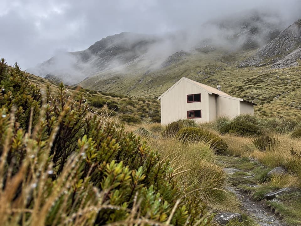 ChallengingCarroll Hut Track5 km · 6 hr · At the trailheadA steep forest climb to a hut above the Taramakau.
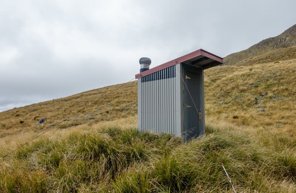 ChallengingPfeifer Bivvy via Waharoa Saddle15.3 km · 10 hr · 3 km awayA remote bivvy above a rough creek climb and alpine saddle.
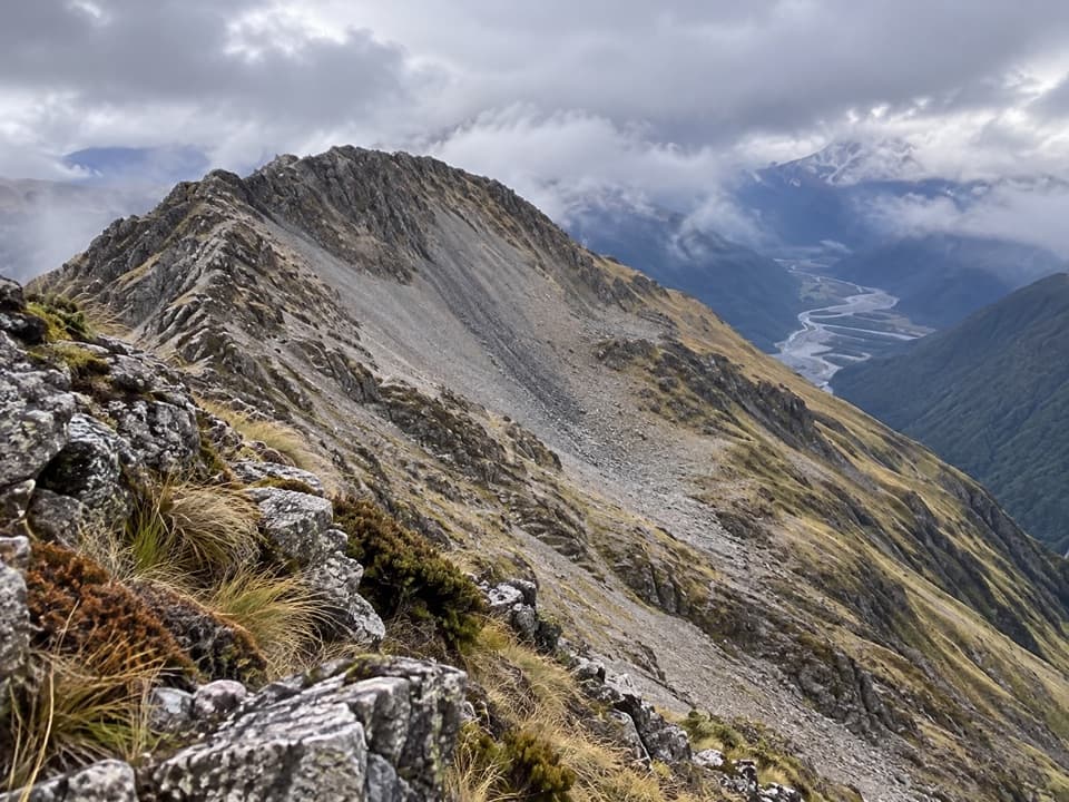 ChallengingMt Barron Route7.7 km · 8 hr · 5.2 km awayA full-day climb from Ōtira forest to a rocky alpine summit.
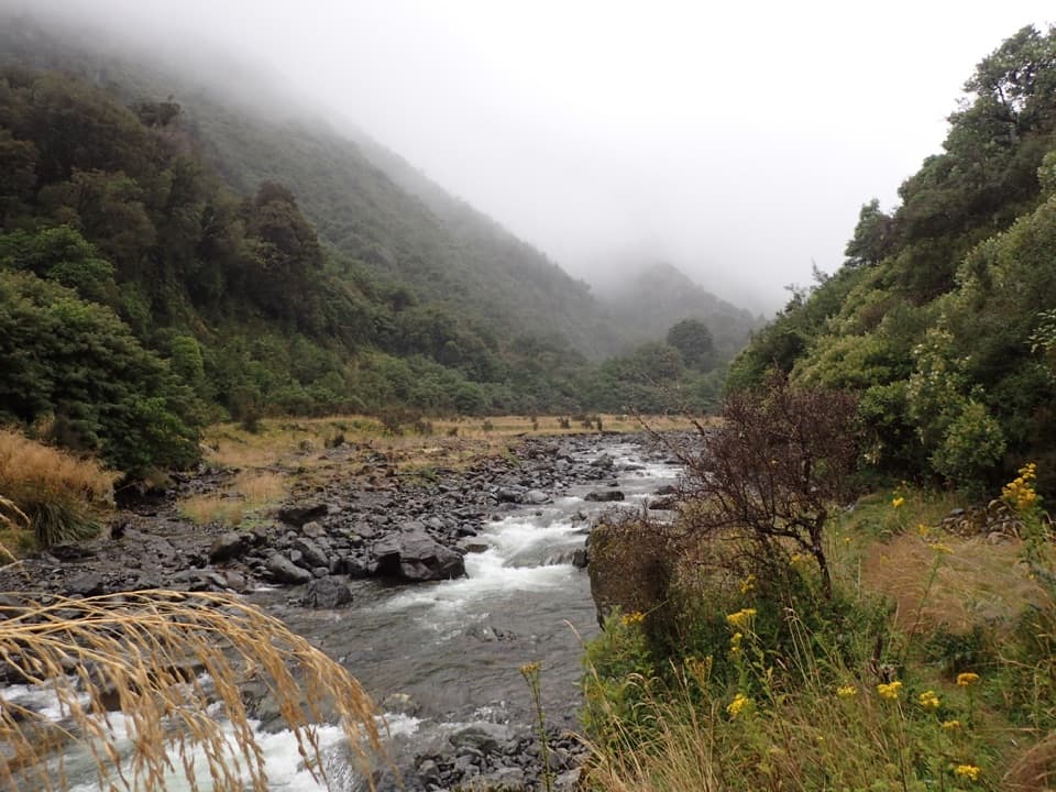 ChallengingHarper Pass Route79 km · 1.2 days · 6.3 km awayA historic alpine crossing with rivers, a high pass and remote huts.
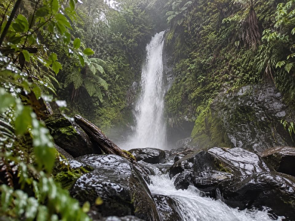 ModerateNgarimu Waterfall Track1.1 km · 40 min · 7.7 km awayA short native-bush walk to Ngarimu Waterfall
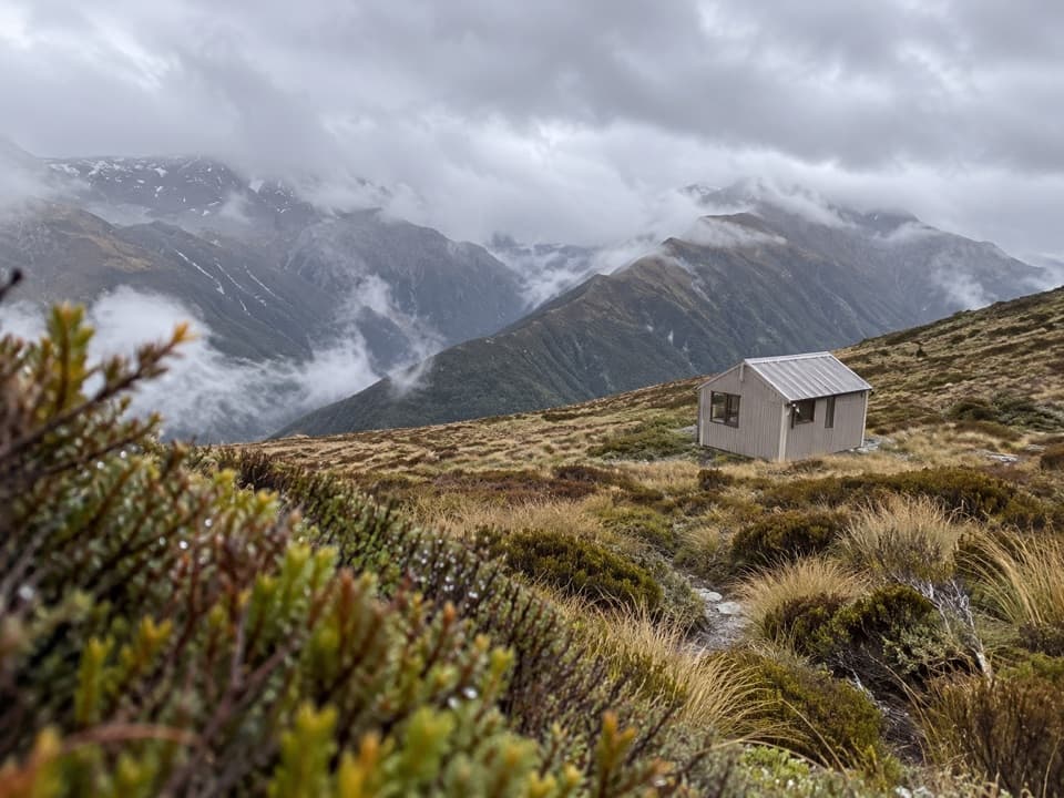 Lodging · 2 km awayCarroll HutA historic ski hut above tussock, with open West Coast views.
 Sight · 3.4 km awayŌtira Stagecoach HotelAntiques and old wagons fill this museum-like coach-stop hotel.
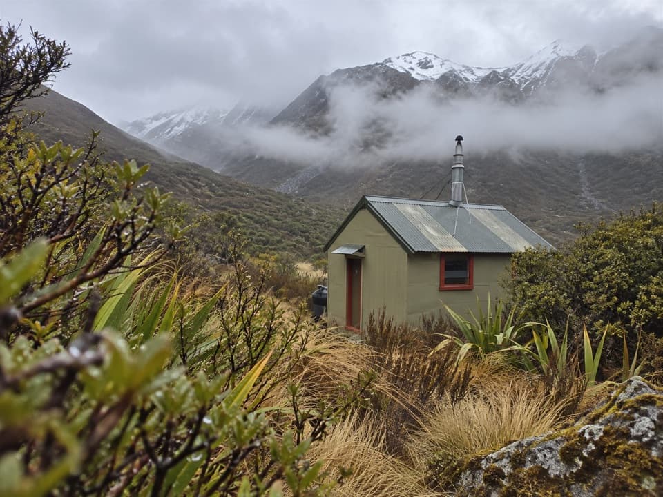 Lodging · 7.1 km awayHunts Creek HutA remote four-bunk hut at the end of a demanding alpine approach.
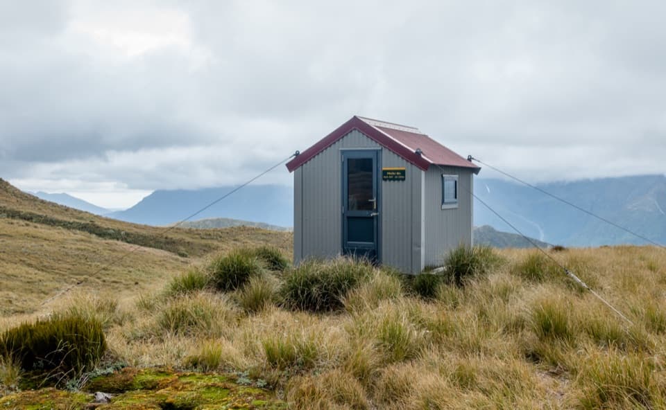 Lodging · 7.7 km awayPfeifer BivvyA remote two-bunk refuge above Lake Kaurapataka.
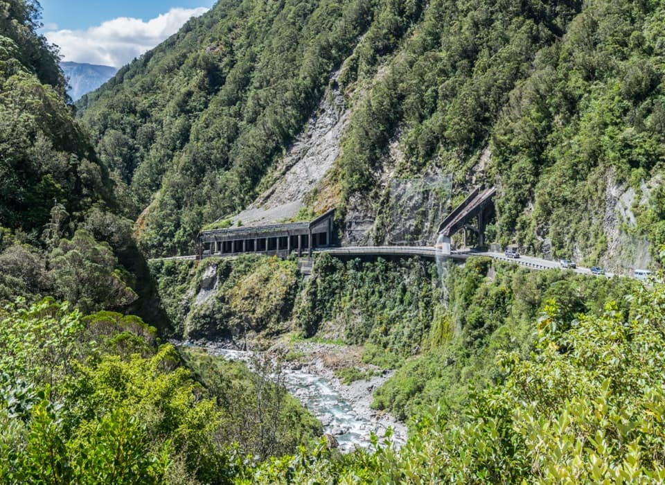 Sight · 8.9 km awayŌtira Gorge Rock Shelter LookoutA quick pull-in for the rockfall shelter and Reid Falls aqueduct.
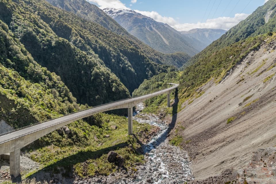 Sight · 9.7 km awayŌtira Viaduct LookoutA quick stop for the viaduct, gorge and occasional kea.
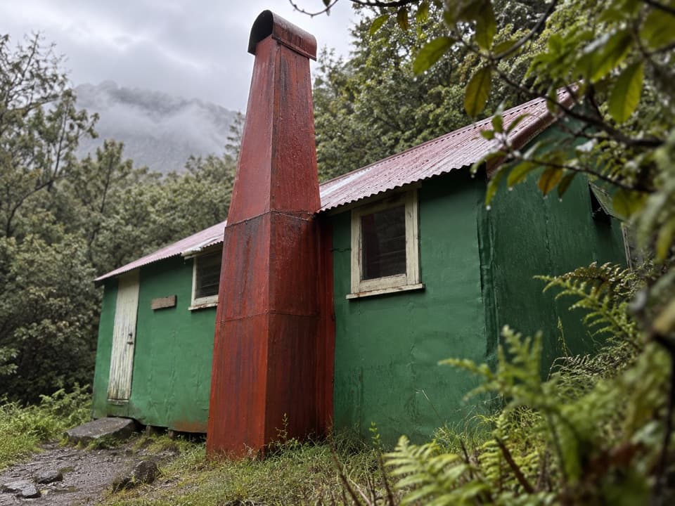 Lodging · 9.8 km awayUpper Deception HutAn old deer-culling hut on a demanding river traverse.
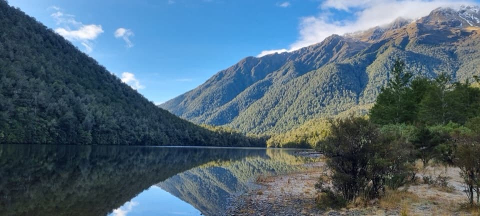 Sight · 10.3 km awayLake KaurapatakaA remote lake worth saving for an overnight walk
Parkwolf’s Arthur's Pass ranking

The audio tour guide for the drive, plus offline maps, trails, and wildlife heatmaps for when the signal drops.





