Parking
Start at Redearth Creek Parking on the Trans-Canada Highway, about 20 km west of Banff. The trail listing pin is partway along the corridor; use the signed parking area at the highway.
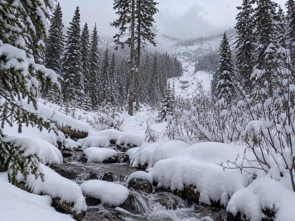
Banff National Park, AB
A long forest climb into the Shadow Lake backcountry.
Overview
Map & elevation
Plan your hike

The highest, rockiest slopes around here are a summer buffet for grizzly bears.
Banff Tour Guide
Parkwolf is a GPS audio tour guide for Banff National Park. As you drive, it chimes in with what’s ahead: hidden gems, upcoming stops, history, geology, and wildlife, right through your car’s speakers.
See the Banff audio tourRecorded for this trailhead
Redearth Creek and the Long Walk to Shadow Lake“Redearth Creek trailhead is coming up, the start of the long walk to Shadow Lake.”
Plays as you drive up to this trailhead in the Parkwolf Banff Tour Guide.
More stories near here in the app
“…Loved the commentary as you drove thru. I’m sure the app can do more than I know but the tips were very helpful. I’m gonna use it when we go to Banff next month.”


Trail guide
Redearth Creek Trail is a long, shared out-and-back on a former fire road from the Trans-Canada Highway to the end of the bike-access corridor. The mapped route is about 10.2 km one way, or 20.4 km (12.7 miles) return; allow seven to eight hours on foot with stops. The grade is mostly gradual, with about 330 m of climbing and 95 m of descent on the way in. It is a long approach into the backcountry, not a short walk to a viewpoint, and bikes use the same road.
From the Redearth Creek parking area, the broad dirt road climbs through a tree-lined valley. The grade rolls over a few short dips, but there is no technical trail or steep scramble. Most of the walk stays under forest, with views opening only now and then. At about 7 km the road reaches Lost Horse campground; it continues to a signed junction at roughly 10 km.
The route ends at the bike-lock junction, where riders leave bikes before continuing on foot. If you are walking this Redearth Creek segment, turn around here and retrace the same road. Lost Horse campground makes a shorter turnaround at about 7 km, for roughly 14 km return. Shadow Lake Lodge is about 2.4 km beyond the lock-up on foot; going there makes a much longer outing of roughly 25.8 km (16 miles) return, and is outside the route mapped here.
Avalanche paths cross the road around 3.3 and 4.4 km, with paths above the route from about 6.3 to 8 km. In winter, check current avalanche conditions and do not stop in the runout areas. Dogs are allowed on summer trails in Banff when kept leashed and under physical control; some snow-covered routes have dog restrictions, so check the current trail rules before a winter visit.
Wildlife
 123 sightingsGrizzly BearMost seen around 6 AMSighting map
 150 sightingsBrown BearMost seen around 6 PMSighting map
 44 sightingsGray WolfMost seen around 6 AMSighting map
 12 sightingsRiver OtterMost seen around 8 PMSighting map
 69 sightingsMooseMost seen around 8 PMSighting map
 466 sightingsBlack BearMost seen around 9 PMSighting map
Sighting maps show where each species has been reported across Banff. Wildlife moves, so no sighting is guaranteed.
Keep exploring
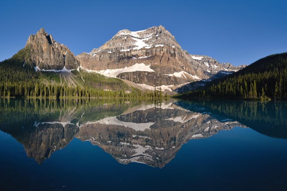 ChallengingShadow Lake Trail28 km · 9.5 hr · At the trailheadA long forest approach opens onto Shadow Lake and Mount Ball's reflection.
 EasyJohnston Canyon Trail to Upper Falls4.8 km · 2 hr · 3.9 km awayA 4.8 km canyon walk to the 30 m Upper Falls.
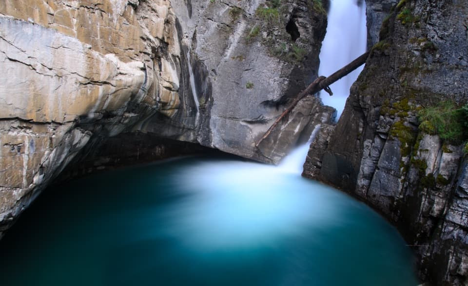 EasyJohnston Canyon Trail to Lower Falls2.2 km · 1 hr · 3.9 km awayPaved canyon catwalks lead to a close view of Lower Falls.
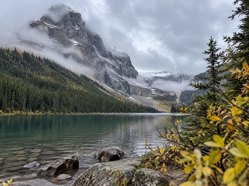 ChallengingLuellen Lake Trail34.2 km · 12 hr · 5.5 km awayA long forest and meadow walk ends at a lake beneath cliffs.
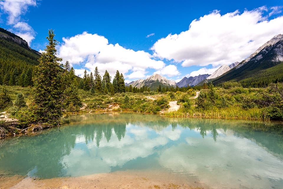 ModerateInk Pots Trail11.4 km · 4.5 hr · 5.5 km awayBlue-green pools in an open meadow after a long forest climb.
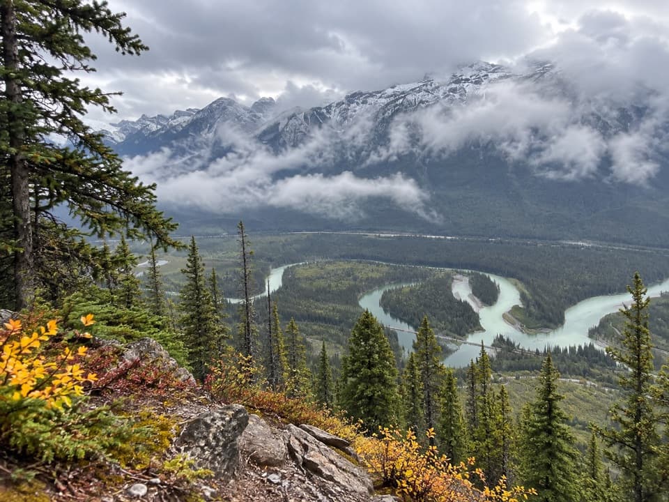 ChallengingMuleshoe Ridge Trail5.5 km · 4 hr · 7.4 km awayA steep climb earns a wide Bow Valley oxbow view.
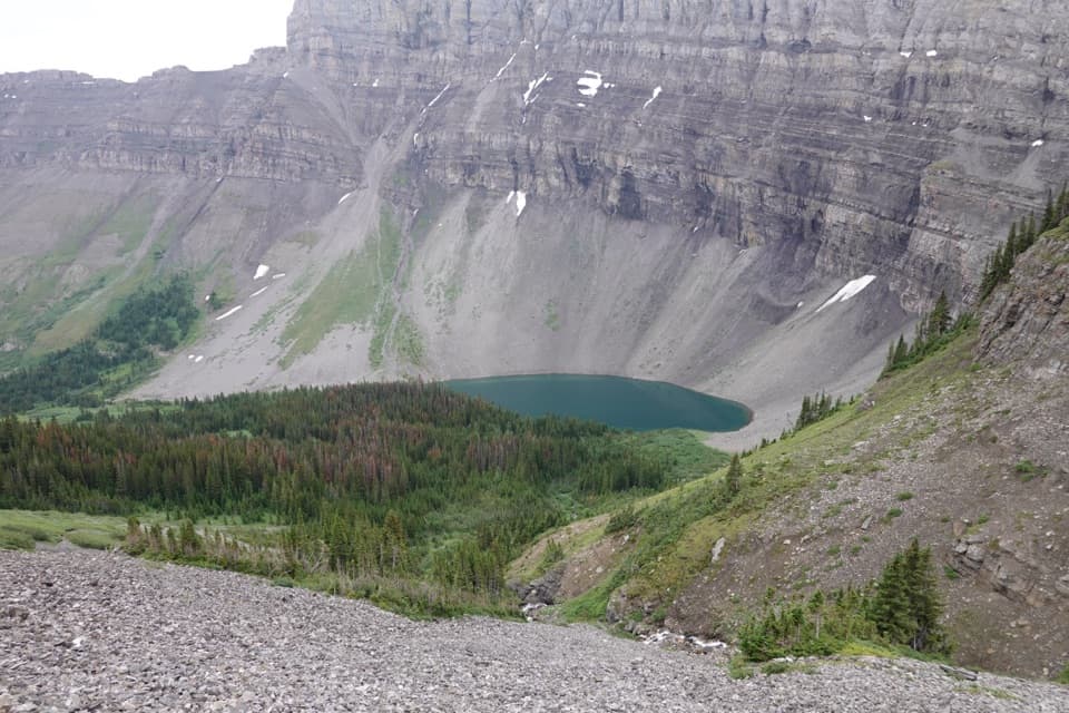 ChallengingHarvey Pass Trail17.8 km · 6.5 hr · 7.7 km awayA long climb through lake country to open Harvey Pass views.ChallengingBourgeau Lake Trail13.4 km · 6 hr · 7.7 km awayA long climb to a lake beneath a glacial amphitheatre.
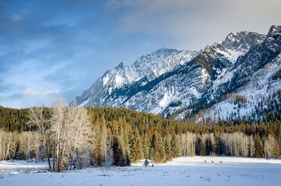 Scenic pullout · 1.5 km awayHillsdale MeadowA quick pullout for summer flowers and a Pilot Mountain view.
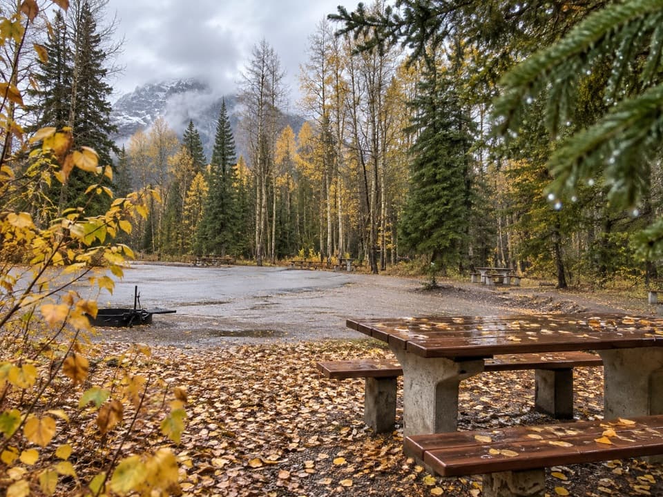 Picnic area · 2.5 km awaySawback Picnic AreaTables, outhouses and mountain views make a practical Parkway break.
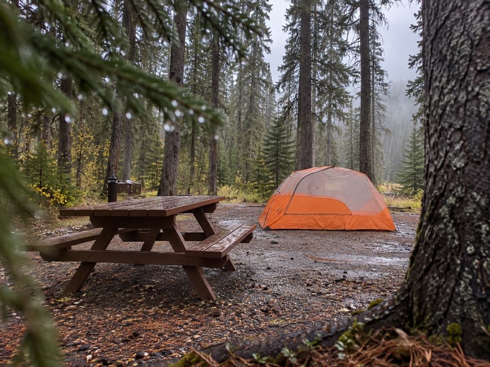 Campground · 3.8 km awayJohnston Canyon CampgroundCamp near Johnston Canyon, with train noise to consider.
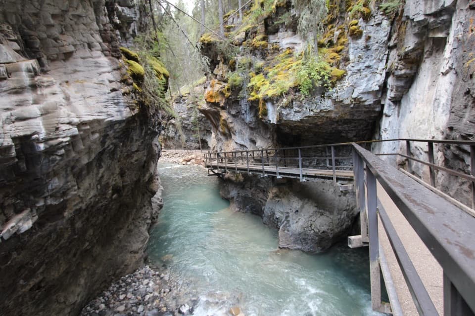 Sight · 3.8 km awayJohnston CanyonRailed catwalks lead to waterfalls in this steep, narrow canyon.
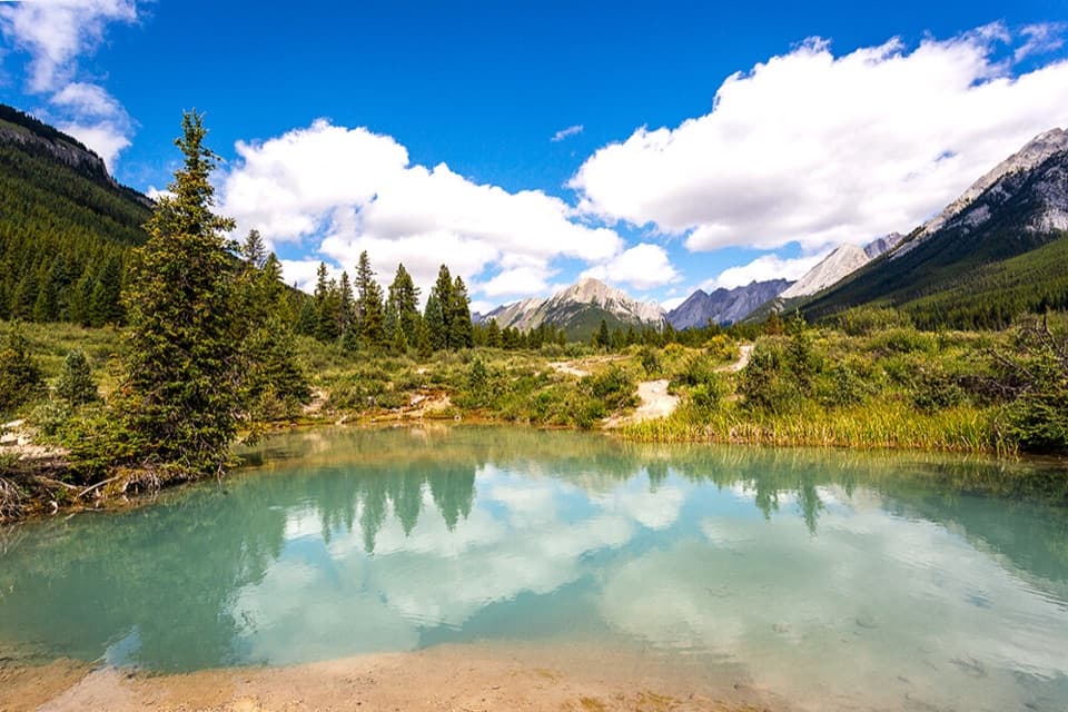 Sight · 6.6 km awayInk PotsCold blue-green springs reward the long walk beyond the waterfalls.
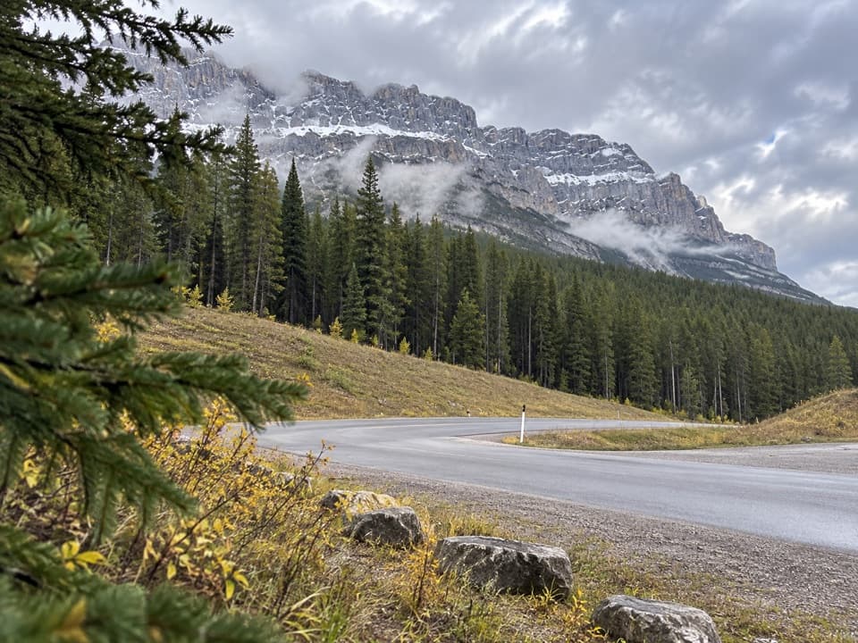 Picnic area · 7.5 km awayMuleshoe Picnic AreaPicnic tables, outhouses and a chance to watch for birds.
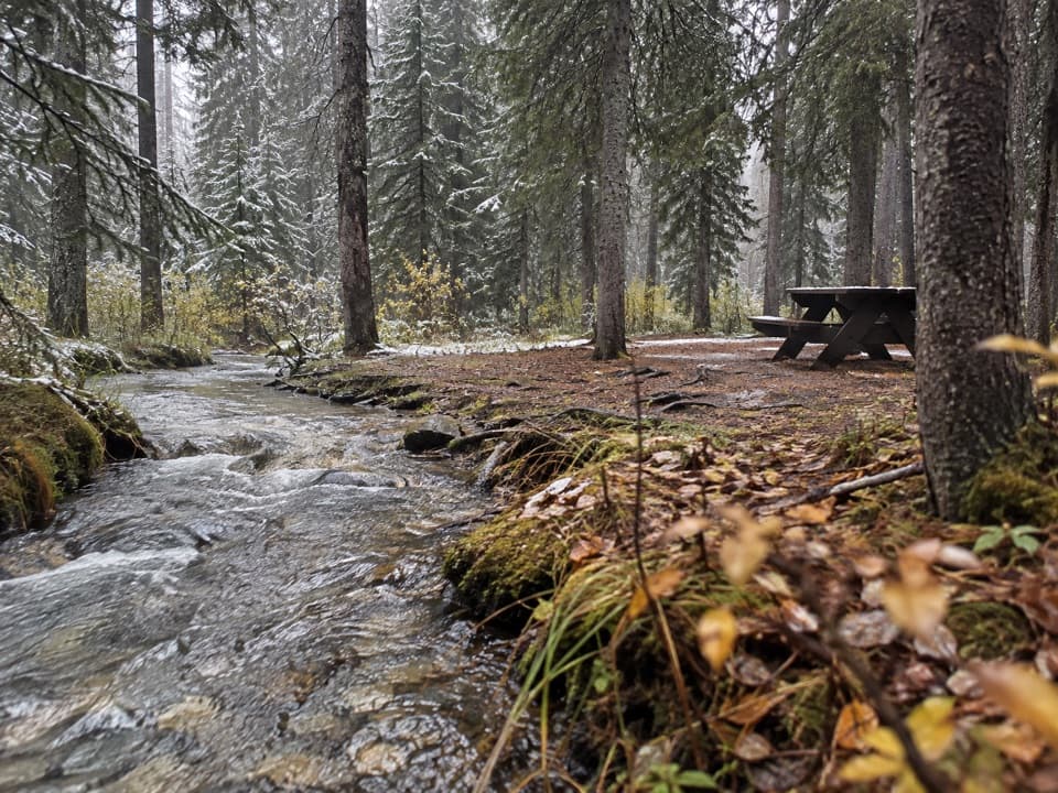 Campground · 9.2 km awayCastle Mountain CampgroundA wooded, no-service base along the Bow Valley Parkway.
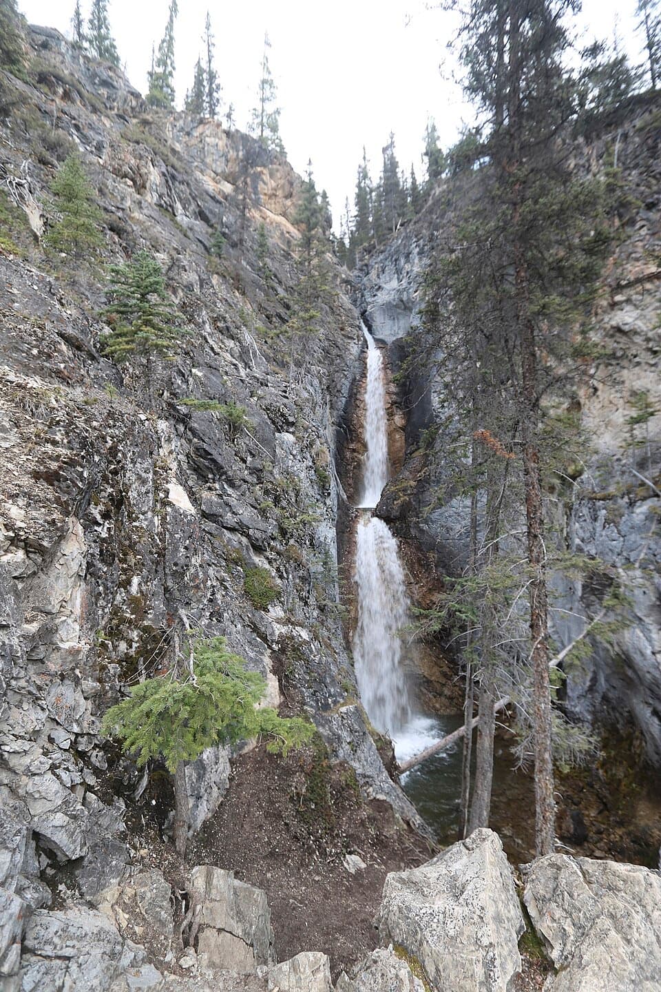 Sight · 9.4 km awaySilverton FallsShort waterfall spur with an exposed, rocky finish.
Parkwolf’s Banff ranking

The audio tour guide for the drive, plus offline maps, trails, and wildlife heatmaps for when the signal drops.




