Simple facilities
There are picnic tables and basic outhouses. Bring your own food and water; no food service or potable-water source is listed for Sawback. A parking area serves the stop, but its capacity and fees aren’t published.
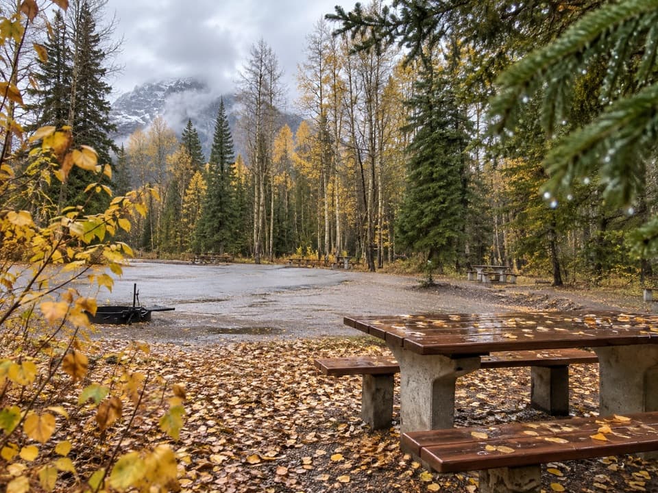
Picnic area · Banff National Park
Tables, outhouses and mountain views make a practical Parkway break.
Overview
Map
Plan your stop

The highest, rockiest slopes around here are a summer buffet for grizzly bears.
Banff Tour Guide
Parkwolf is a GPS audio tour guide for Banff National Park. As you drive, it chimes in with what’s ahead: hidden gems, upcoming stops, history, geology, and wildlife, right through your car’s speakers.
See the Banff audio tourRecorded for this area
A Sticky Doorway for a Nuthatch“Red-breasted nuthatches put sticky tree resin around the entrance to their nest hole. These small woodland birds have rusty underparts and a bold black stripe through the eye.”
Plays on the road 0.5 km from Sawback Picnic Area in the Parkwolf Banff Tour Guide.
More stories near here in the app
“…Loved the commentary as you drove thru. I’m sure the app can do more than I know but the tips were very helpful. I’m gonna use it when we go to Banff next month.”


Guide
Sawback Picnic Area is a small day-use stop on the Bow Valley Parkway, about 18 km west of Banff. It’s a useful place to eat or stretch your legs on the drive to or from Johnston Canyon; the appeal is a table break and mountain views across the highway, not a destination walk.
From March 1 to June 25, travel on the Bow Valley Parkway stretch between Johnston Canyon Campground and Fireside Picnic Area is limited to 8 a.m.–8 p.m.; Sawback is on that stretch. In winter, the picnic areas aren’t closed, though snow can limit access and services. Plan this as a daytime break and check the current road conditions before setting out.
Wildlife
 123 sightingsGrizzly BearMost seen around 6 AMSighting map
 150 sightingsBrown BearMost seen around 6 PMSighting map
 44 sightingsGray WolfMost seen around 6 AMSighting map
 12 sightingsRiver OtterMost seen around 8 PMSighting map
 69 sightingsMooseMost seen around 8 PMSighting map
 466 sightingsBlack BearMost seen around 9 PMSighting map
Sighting maps show where each species has been reported across Banff. Wildlife moves, so no sighting is guaranteed.
Keep exploring
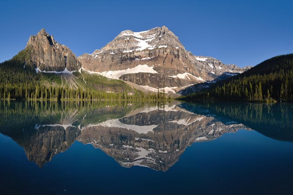 ChallengingShadow Lake Trail28 km · 9.5 hr · 2.5 km awayA long forest approach opens onto Shadow Lake and Mount Ball's reflection.
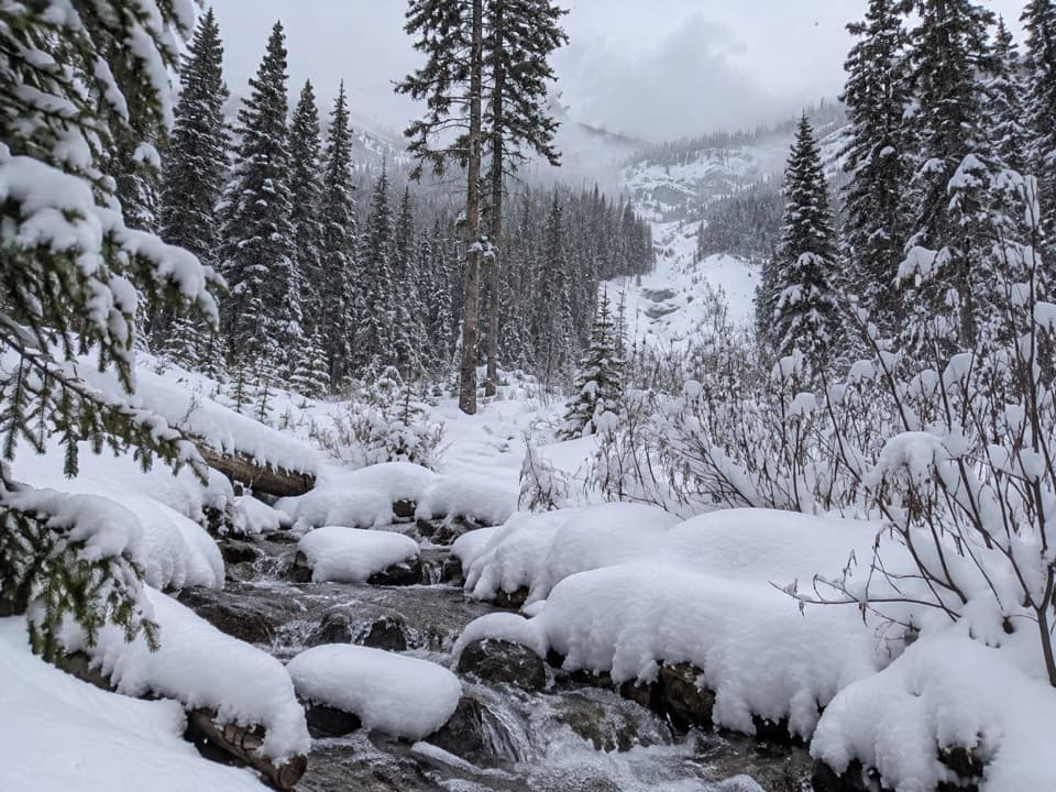 ModerateRedearth Creek Trail20.4 km · 7.5 hr · 2.5 km awayA long forest climb into the Shadow Lake backcountry.
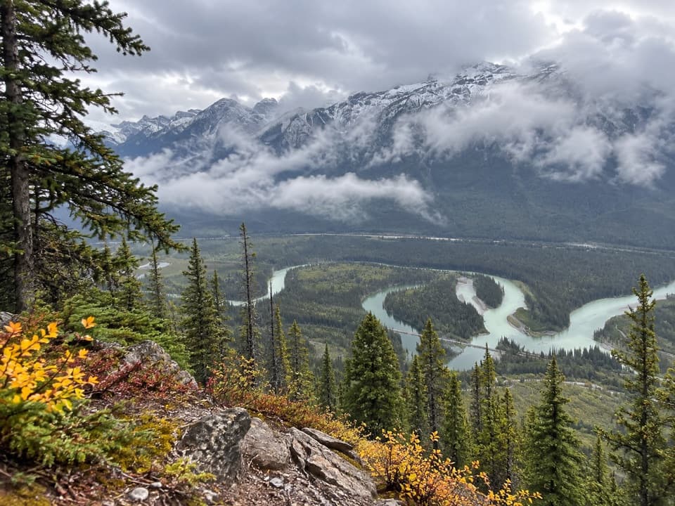 ChallengingMuleshoe Ridge Trail5.5 km · 4 hr · 5.3 km awayA steep climb earns a wide Bow Valley oxbow view.
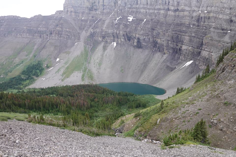 ChallengingHarvey Pass Trail17.8 km · 6.5 hr · 6 km awayA long climb through lake country to open Harvey Pass views.ChallengingBourgeau Lake Trail13.4 km · 6 hr · 6 km awayA long climb to a lake beneath a glacial amphitheatre.ChallengingMount Bourgeau Trail22.3 km · 8 hr · 6 km awayA long climb earns a lake, alpine pass and broad summit views.
 EasyJohnston Canyon Trail to Upper Falls4.8 km · 2 hr · 6 km awayA 4.8 km canyon walk to the 30 m Upper Falls.
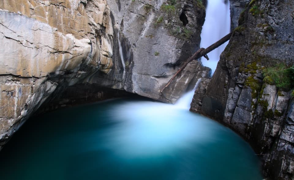 EasyJohnston Canyon Trail to Lower Falls2.2 km · 1 hr · 6 km awayPaved canyon catwalks lead to a close view of Lower Falls.
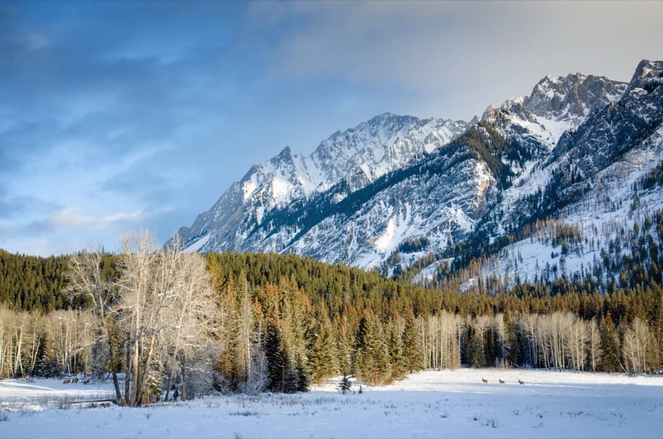 Scenic pullout · 1.2 km awayHillsdale MeadowA quick pullout for summer flowers and a Pilot Mountain view.
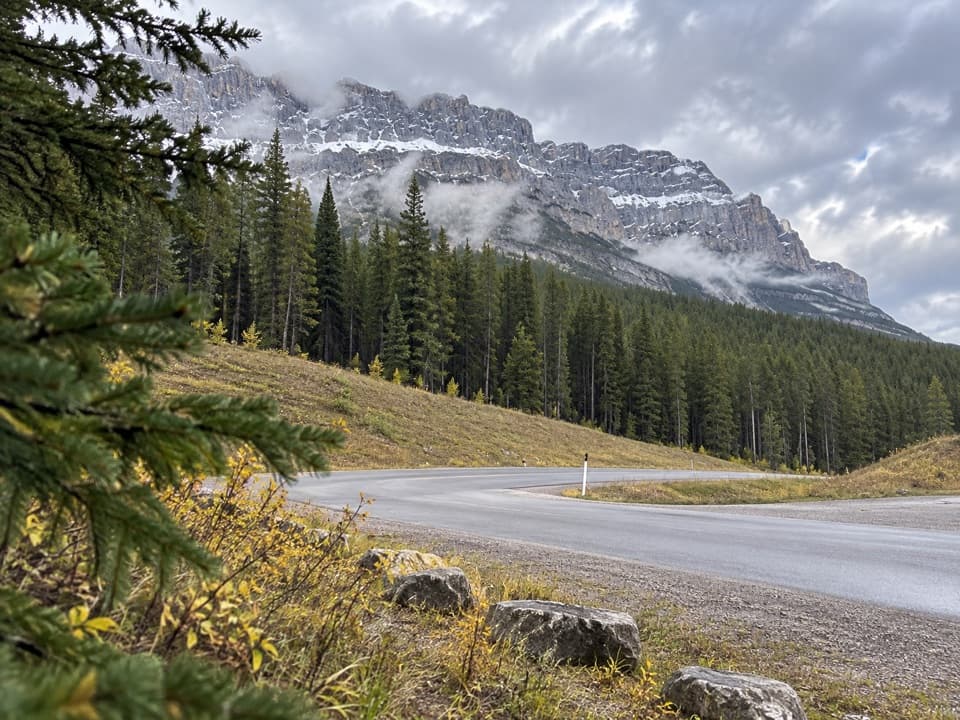 Picnic area · 5.4 km awayMuleshoe Picnic AreaPicnic tables, outhouses and a chance to watch for birds.
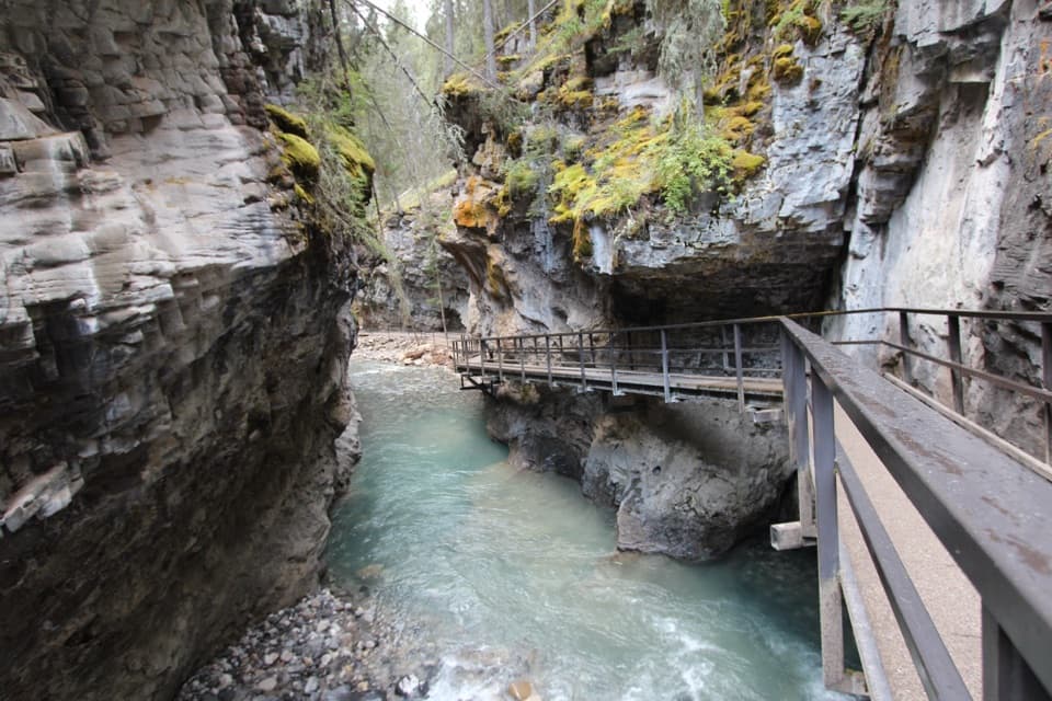 Sight · 6 km awayJohnston CanyonRailed catwalks lead to waterfalls in this steep, narrow canyon.
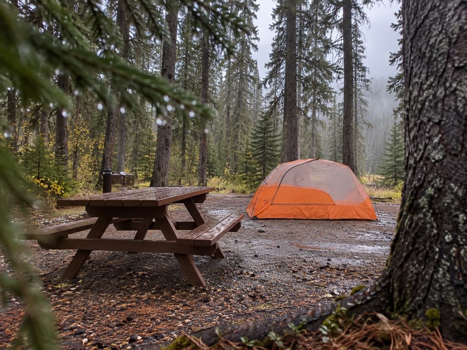 Campground · 6 km awayJohnston Canyon CampgroundCamp near Johnston Canyon, with train noise to consider.
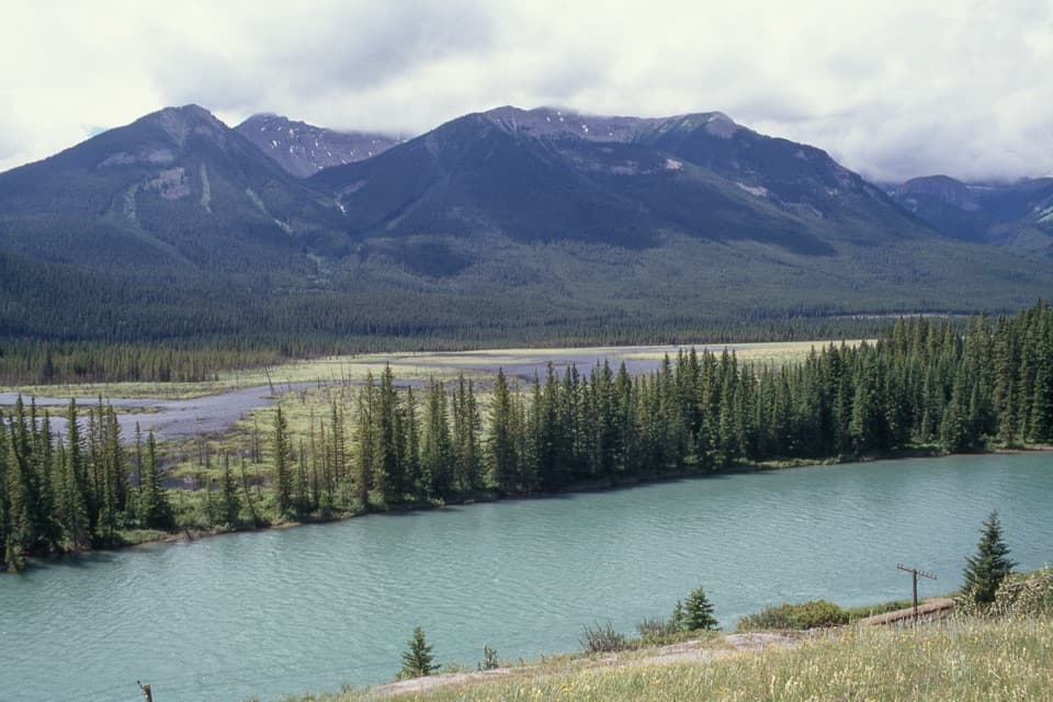 Scenic pullout · 7.4 km awayBackswamp ViewpointA quick Bow Valley stop with the river and Bourgeau in view.
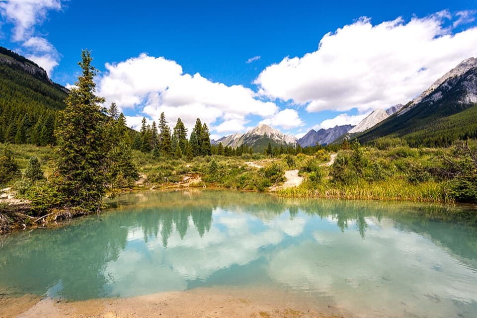 Sight · 7.8 km awayInk PotsCold blue-green springs reward the long walk beyond the waterfalls.
Parkwolf’s Banff ranking

The audio tour guide for the drive, plus offline maps, trails, and wildlife heatmaps for when the signal drops.