Parking
Use the designated Bourgeau Lake parking area, 13 km west of Banff on the Trans-Canada Highway. Parks Canada lists limited paved parking and two gender-neutral outhouses. Roadside parking is prohibited; no drinking-water service is listed.
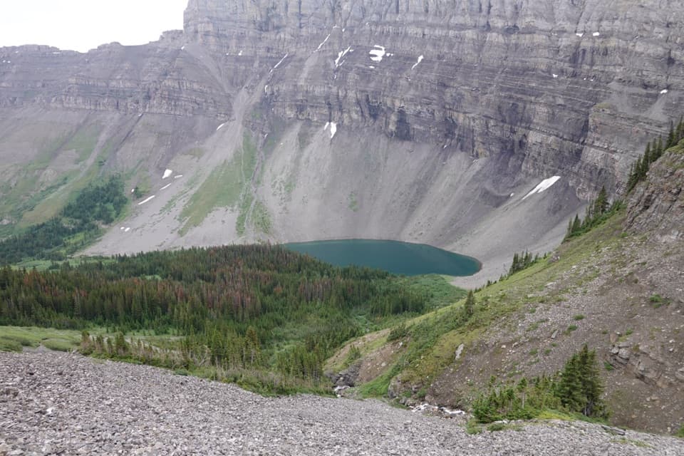
Banff National Park, AB
A long climb to a lake beneath a glacial amphitheatre.
Overview
Map & elevation
Plan your hike

The highest, rockiest slopes around here are a summer buffet for grizzly bears.
Banff Tour Guide
Parkwolf is a GPS audio tour guide for Banff National Park. As you drive, it chimes in with what’s ahead: hidden gems, upcoming stops, history, geology, and wildlife, right through your car’s speakers.
See the Banff audio tourRecorded for this trailhead
Bourgeau Lake and Harvey Pass“You're approaching Bourgeau Lake trailhead, where the hike to Harvey Pass takes six to seven hours round trip. A long forest climb reaches the lake's glacier-carved rock bowl.”
Plays as you drive up to this trailhead in the Parkwolf Banff Tour Guide.
More stories near here in the app
“…Loved the commentary as you drove thru. I’m sure the app can do more than I know but the tips were very helpful. I’m gonna use it when we go to Banff next month.”


Trail guide
Bourgeau Lake Trail is a strenuous out-and-back from the Bourgeau Lake parking area to an alpine lake beneath a glacial amphitheatre. Parks Canada lists 6.7 km each way, 13.4 km round trip, 730 m of climbing and about six hours. The route starts in forest, follows Wolverine Creek, climbs beside a waterfall and finishes in an open basin. It suits hikers ready for a long, steady ascent more than constant views. The lake is the usual turnaround; Harvey Pass continues farther beyond it and makes a much longer outing. Bring your own water, and plan around the limited parking.
The first stretch is a sustained forest climb on a trail with roots, rocks and mountain-stream crossings. The trees screen most of the valley, though openings around the middle of the climb reveal Massive Mountain, Mount Cory and The Finger. Expect intermittent views rather than an open ridge walk.
At roughly 5.5 km, Wolverine Creek drops through a multi-tier waterfall. The trail steepens into switchbacks beside the falls, then briefly eases before reaching the alpine meadow. That shift from enclosed forest to the open basin is part of the payoff; flagstone steps lead through the upper meadow toward the lake.
The clear lake sits below steep rock walls at the foot of Mount Bourgeau, ringed by forest, scree and alpine slopes. Late September brings golden larch needles to the upper route. From the basin, frame the water with the cliff wall and a strip of foreground rock to show how small the lake feels beneath the amphitheatre.
James Hector named Mount Bourgeau for Eugene Bourgeau, the botanist who joined the Palliser Expedition of 1857–1860; the lake took the mountain’s name. The surrounding bowl was carved by glacial ice, leaving the sheer rock walls that close around the water.
The trailhead is at the designated Bourgeau Lake parking area, 13 km west of Banff on the Trans-Canada Highway. Parks Canada lists limited paved parking and two gender-neutral outhouses; roadside parking is prohibited. No food service or drinking-water source is listed at the lot or along the route. Dogs are allowed on summer trails unless a restriction is posted; keep them under control on a leash no longer than 3 m.
Wildlife
 123 sightingsGrizzly BearMost seen around 6 AMSighting map
 150 sightingsBrown BearMost seen around 6 PMSighting map
 44 sightingsGray WolfMost seen around 6 AMSighting map
 12 sightingsRiver OtterMost seen around 8 PMSighting map
 69 sightingsMooseMost seen around 8 PMSighting map
 466 sightingsBlack BearMost seen around 9 PMSighting map
Sighting maps show where each species has been reported across Banff. Wildlife moves, so no sighting is guaranteed.
Keep exploring
ChallengingHarvey Pass Trail17.8 km · 6.5 hr · At the trailheadA long climb through lake country to open Harvey Pass views.ChallengingMount Bourgeau Trail22.3 km · 8 hr · At the trailheadA long climb earns a lake, alpine pass and broad summit views.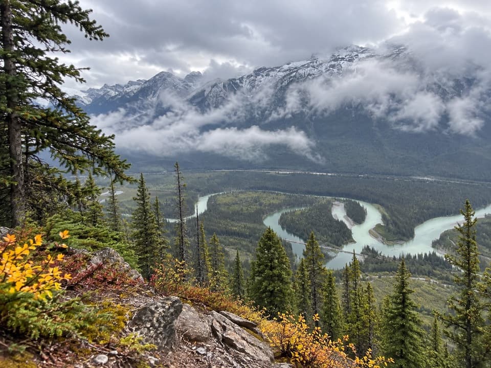 ChallengingMuleshoe Ridge Trail5.5 km · 4 hr · 1.4 km awayA steep climb earns a wide Bow Valley oxbow view.
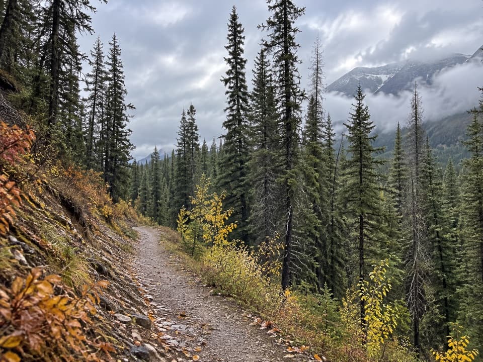 ModerateBrewster Creek Trail20.1 km · 6.5 hr · 3.5 km awayA long creek-valley walk ends at a backcountry lodge.
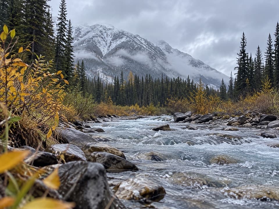 EasyHealy Creek Trail5.5 km · 1.8 hr · 3.5 km awayA gentle forest walk ending at the Sundance Trail junction.
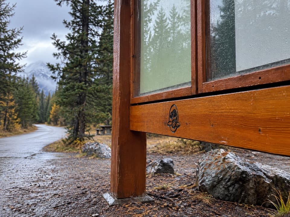 ModerateBanff Legacy Trail24.5 km · 6.5 hr · 5.2 km awayA long paved route with an on-road link through Banff
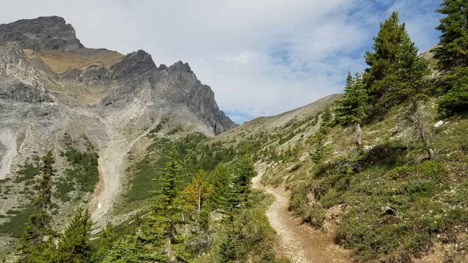 ChallengingCory Pass Loop12.8 km · 6 hr · 5.4 km awayA rugged loop over Cory and Edith passes through Gargoyle Valley
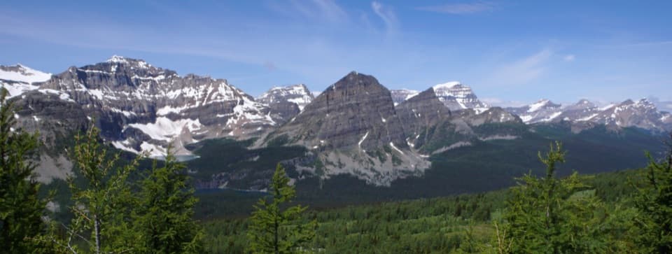 ChallengingHealy Pass Trail17.6 km · 6.5 hr · 6.4 km awayA long forest walk pays off in larch meadows and pass views.
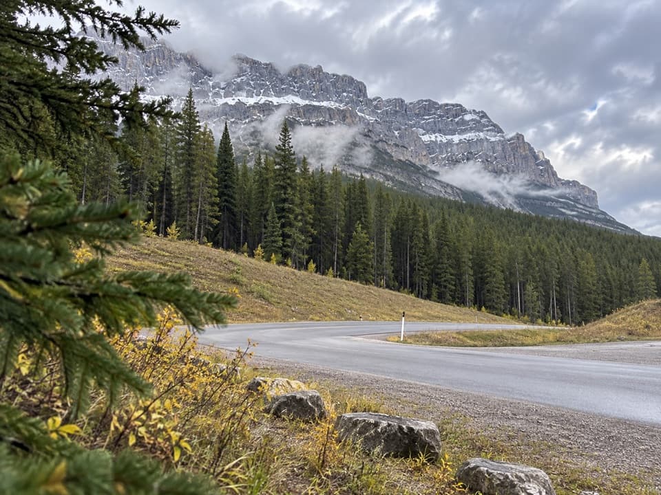 Picnic area · 1.4 km awayMuleshoe Picnic AreaPicnic tables, outhouses and a chance to watch for birds.
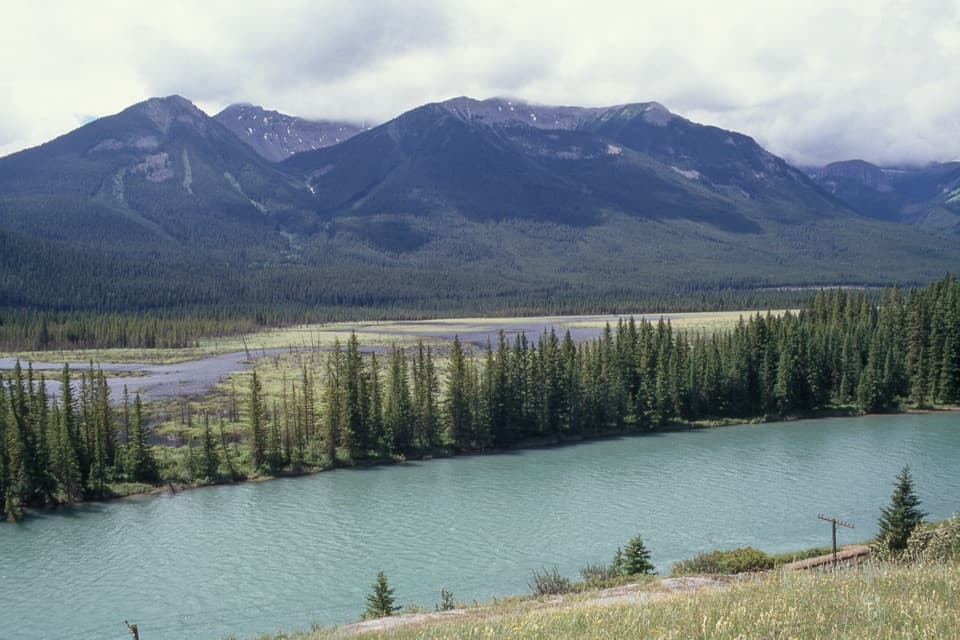 Scenic pullout · 2.4 km awayBackswamp ViewpointA quick Bow Valley stop with the river and Bourgeau in view.
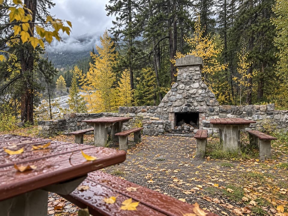 Picnic area · 5.4 km awayFireside Day-use AreaA quick picnic stop with trail access at the Parkway's eastern end.
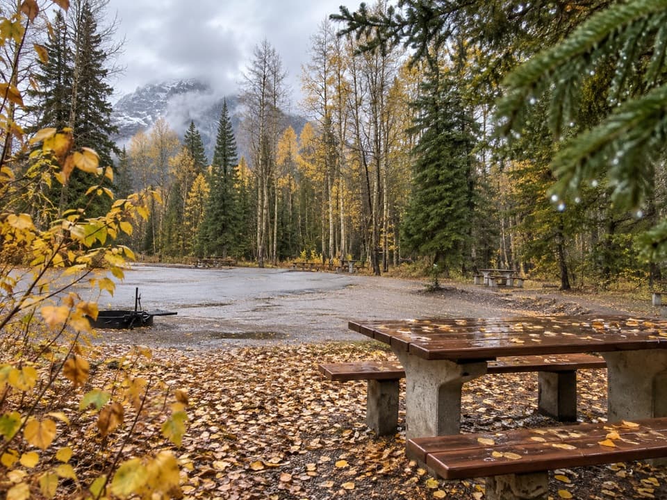 Picnic area · 6 km awaySawback Picnic AreaTables, outhouses and mountain views make a practical Parkway break.
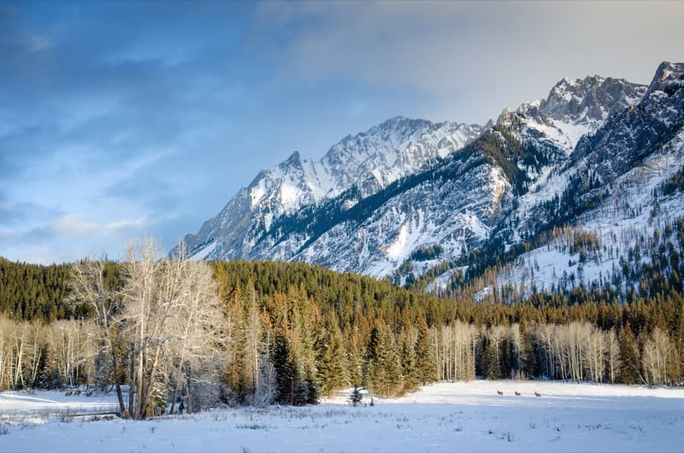 Scenic pullout · 7.1 km awayHillsdale MeadowA quick pullout for summer flowers and a Pilot Mountain view.
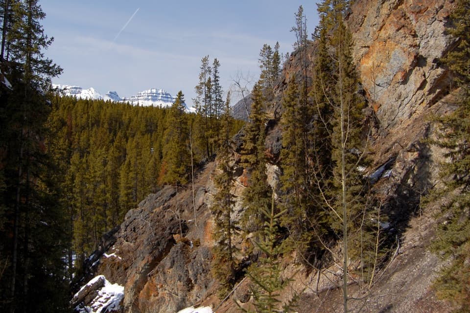 Sight · 8.3 km awaySundance CanyonA tight gorge and small waterfall reward the long approach.
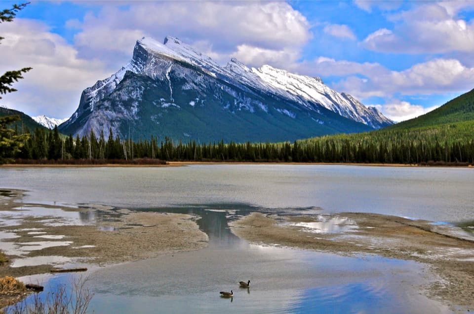 Sight · 8.9 km awayVermilion LakesDocks and marsh reflections frame Mount Rundle.
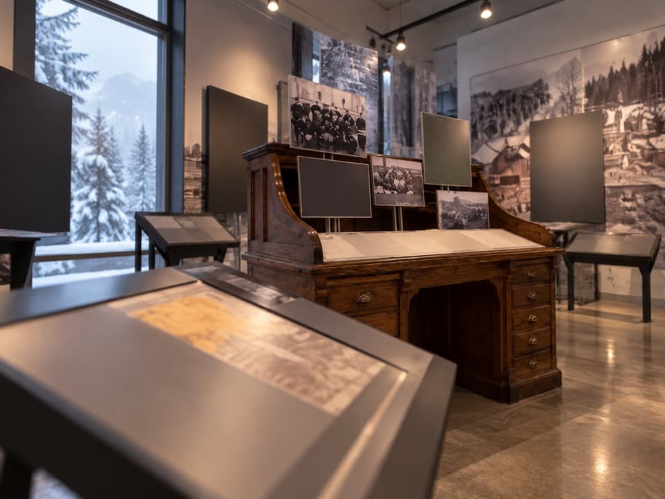 Sight · 9.6 km awayFirst World War Internment ExhibitA compact exhibit connects wartime internment with national park roads.
Parkwolf’s Banff ranking

The audio tour guide for the drive, plus offline maps, trails, and wildlife heatmaps for when the signal drops.





