Parking
Use the Muleshoe Picnic Area parking lot on the Bow Valley Parkway; cross Highway 1A to reach the south-ridge approach.
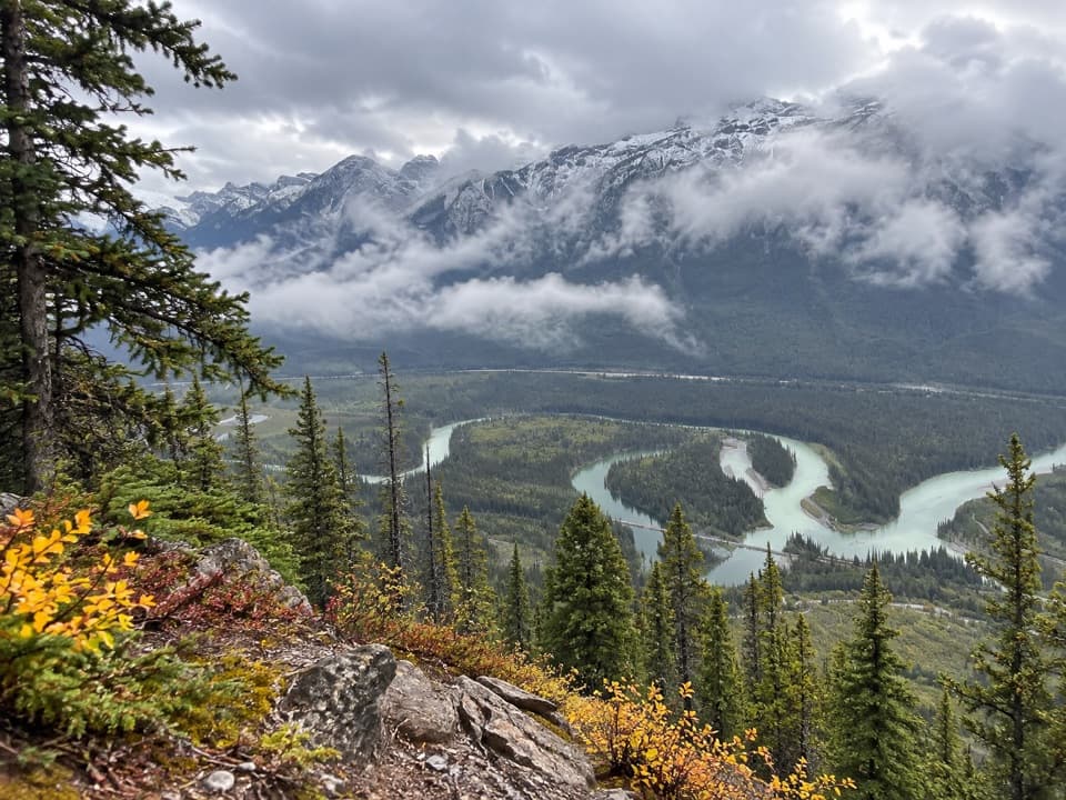
Banff National Park, AB
A steep climb earns a wide Bow Valley oxbow view.
Overview
Muleshoe Ridge is an unofficial 3.4-mile (5.5-km) out-and-back from the Muleshoe Picnic Area parking lot. Cross Highway 1A, climb the south ridge, and continue to the open bench near the wooded high point. Allow about four hours for roughly 850 m (2,800 ft) of climbing. This is a steep, rough outing for hikers comfortable route-finding when tread fades, not a quick viewpoint walk.
 Parkwolf’s verdictIs this the hike for you?
Map & elevation
Plan your hike

The highest, rockiest slopes around here are a summer buffet for grizzly bears.
Banff Tour Guide
Parkwolf is a GPS audio tour guide for Banff National Park. As you drive, it chimes in with what’s ahead: hidden gems, upcoming stops, history, geology, and wildlife, right through your car’s speakers.
See the Banff audio tourRecorded for this trailhead
Muleshoe: A Picnic and a Birdwatching Pause“Muleshoe Picnic Area is coming up, a small Bow Valley Parkway stop that's worth a pause if you enjoy watching birds.”
Plays as you drive up to this trailhead in the Parkwolf Banff Tour Guide.
More stories near here in the app
“…Loved the commentary as you drove thru. I’m sure the app can do more than I know but the tips were very helpful. I’m gonna use it when we go to Banff next month.”


Trail guide
The lower approach passes through aspens and takes two sharp turns before the sustained ridge ascent. Open meadows give the first wide look over the Bow Valley, followed by a brief easier stretch before the upper climb. The upper tread has been reported to disappear into heavy deadfall, with detours below the crest and unavoidable log crossings. Its present condition has not been verified; treat the mapped line as a reference rather than a maintained or necessarily obvious tread, and turn back if the route becomes unsafe or unclear.
The wooded high point blocks the view. The payoff is a nearby open bench on the west side, with a broad look over the Bow River oxbow, the forested valley and the mountain wall beyond. Muleshoe Ridge is a west outlier of Mount Cory; the Mount Cory summit scramble is a separate, more demanding outing and is outside this route.
Start at the Muleshoe lot on the Bow Valley Parkway; the approach begins across Highway 1A. No route-side water or other services were verified. Dogs are allowed under Banff’s leash rule; keep them leashed and under physical control.
Wildlife
 123 sightingsGrizzly BearMost seen around 6 AMSighting map
 150 sightingsBrown BearMost seen around 6 PMSighting map
 44 sightingsGray WolfMost seen around 6 AMSighting map
 12 sightingsRiver OtterMost seen around 8 PMSighting map
 69 sightingsMooseMost seen around 8 PMSighting map
 466 sightingsBlack BearMost seen around 9 PMSighting map
Sighting maps show where each species has been reported across Banff. Wildlife moves, so no sighting is guaranteed.
Keep exploring
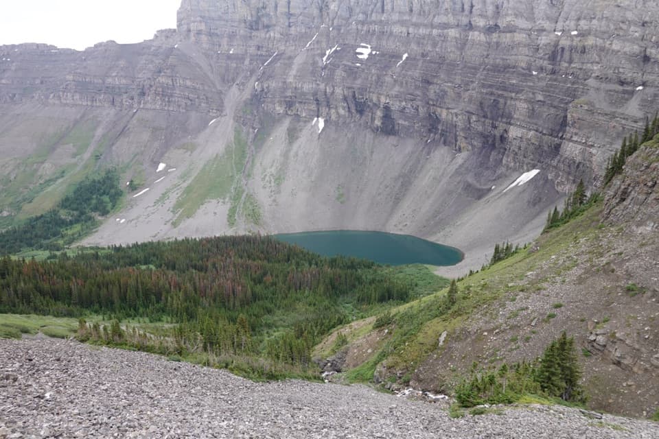 ChallengingHarvey Pass Trail17.8 km · 6.5 hr · 1.4 km awayA long climb through lake country to open Harvey Pass views.ChallengingBourgeau Lake Trail13.4 km · 6 hr · 1.4 km awayA long climb to a lake beneath a glacial amphitheatre.ChallengingMount Bourgeau Trail22.3 km · 8 hr · 1.4 km awayA long climb earns a lake, alpine pass and broad summit views.
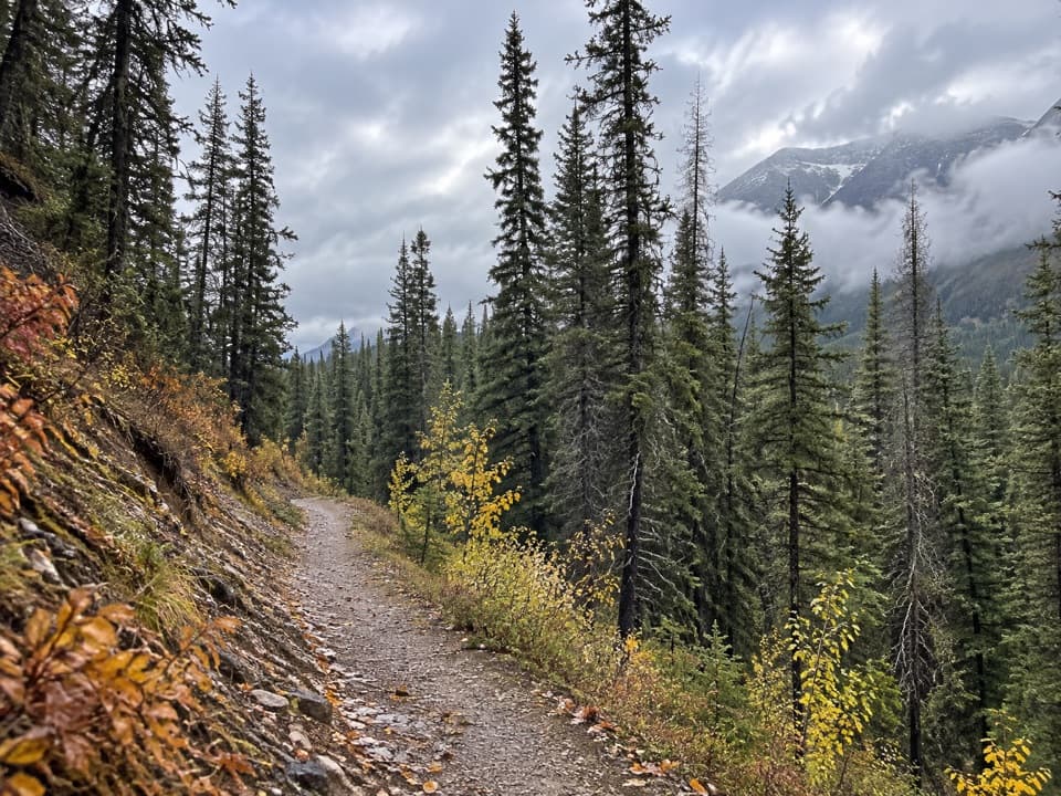 ModerateBrewster Creek Trail20.1 km · 6.5 hr · 3.8 km awayA long creek-valley walk ends at a backcountry lodge.
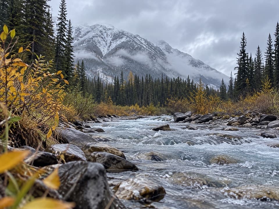 EasyHealy Creek Trail5.5 km · 1.8 hr · 3.8 km awayA gentle forest walk ending at the Sundance Trail junction.
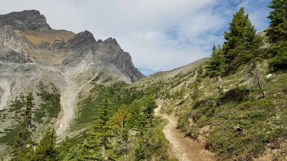 ChallengingCory Pass Loop12.8 km · 6 hr · 4.7 km awayA rugged loop over Cory and Edith passes through Gargoyle Valley
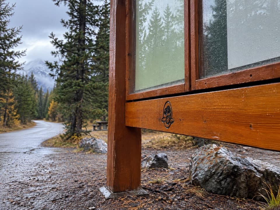 ModerateBanff Legacy Trail24.5 km · 6.5 hr · 4.7 km awayA long paved route with an on-road link through Banff
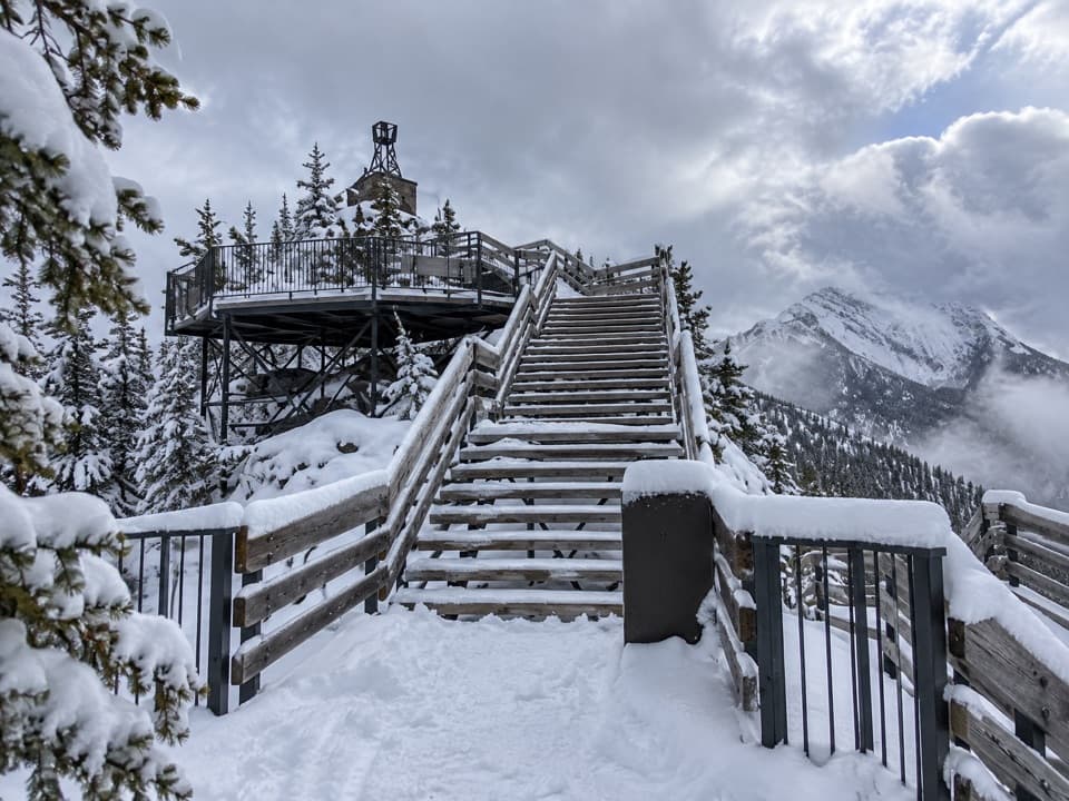 ChallengingSulphur Mountain Westside Trail5.4 km · 4 hr · 7.2 km awayA steep, rocky west-side climb to the upper mountain.
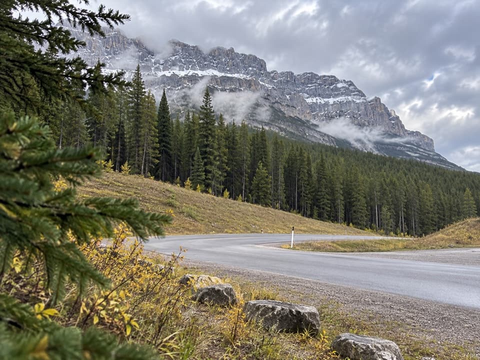 Picnic area · 0.1 km awayMuleshoe Picnic AreaPicnic tables, outhouses and a chance to watch for birds.
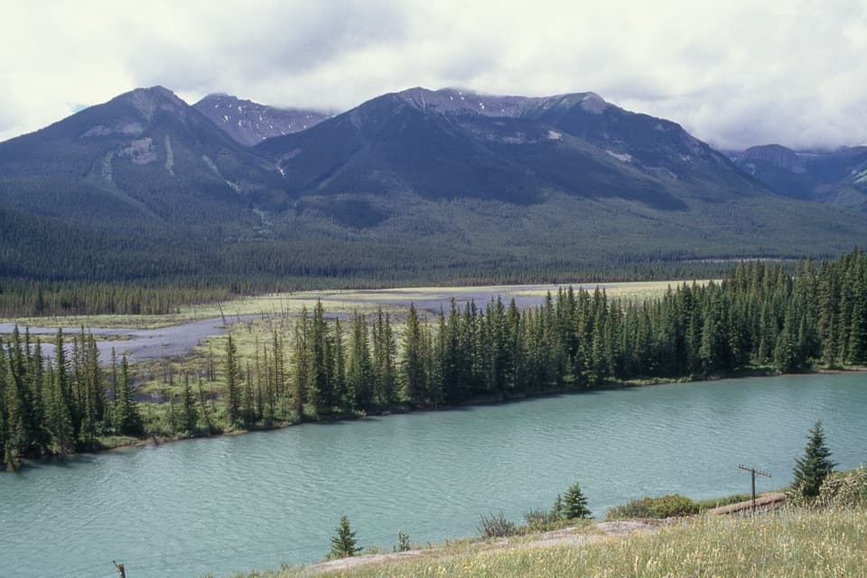 Scenic pullout · 2.1 km awayBackswamp ViewpointA quick Bow Valley stop with the river and Bourgeau in view.
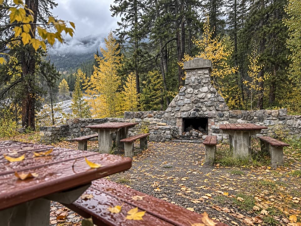 Picnic area · 4.7 km awayFireside Day-use AreaA quick picnic stop with trail access at the Parkway's eastern end.
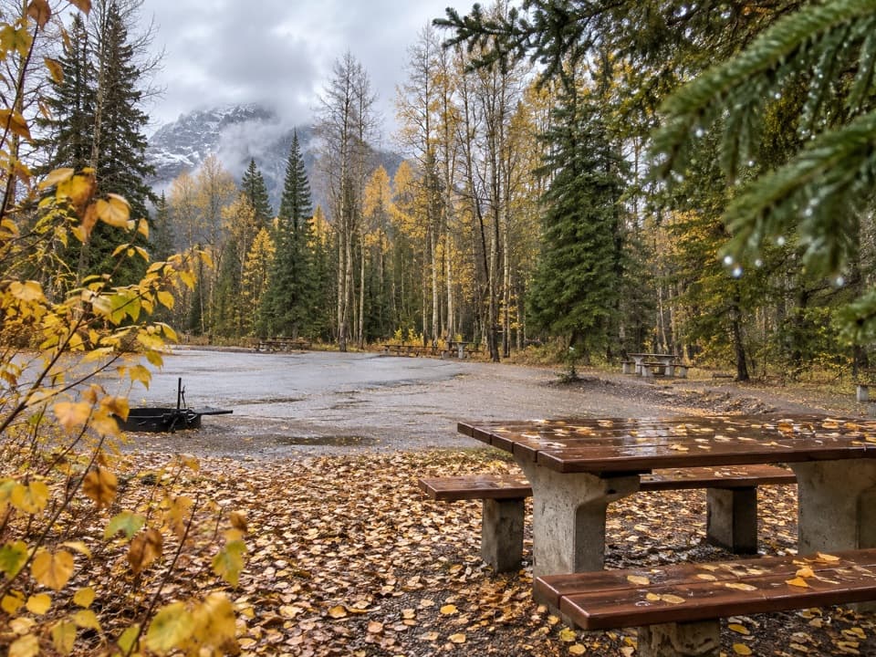 Picnic area · 5.3 km awaySawback Picnic AreaTables, outhouses and mountain views make a practical Parkway break.
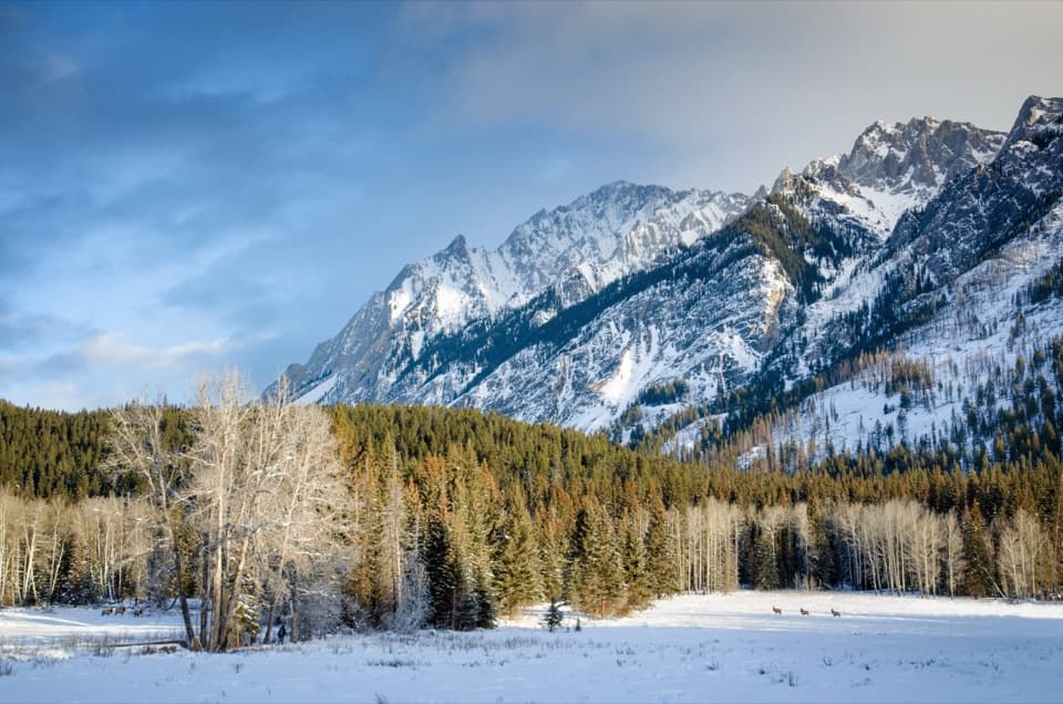 Scenic pullout · 6.5 km awayHillsdale MeadowA quick pullout for summer flowers and a Pilot Mountain view.
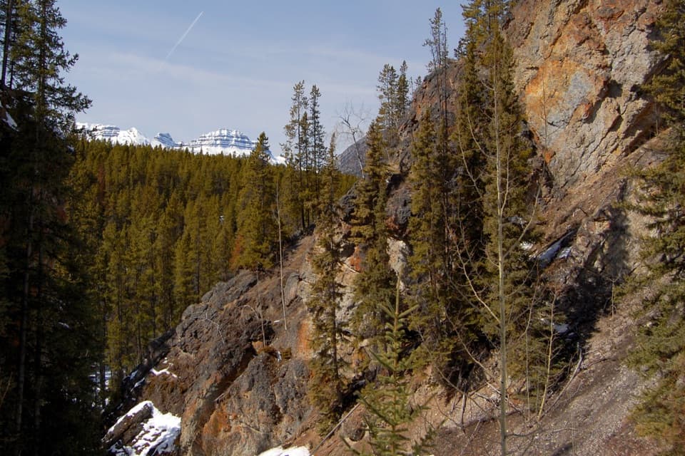 Sight · 8 km awaySundance CanyonA tight gorge and small waterfall reward the long approach.
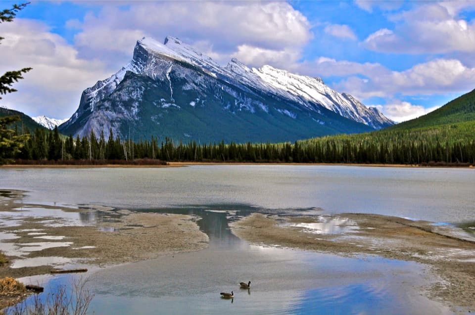 Sight · 8.1 km awayVermilion LakesDocks and marsh reflections frame Mount Rundle.
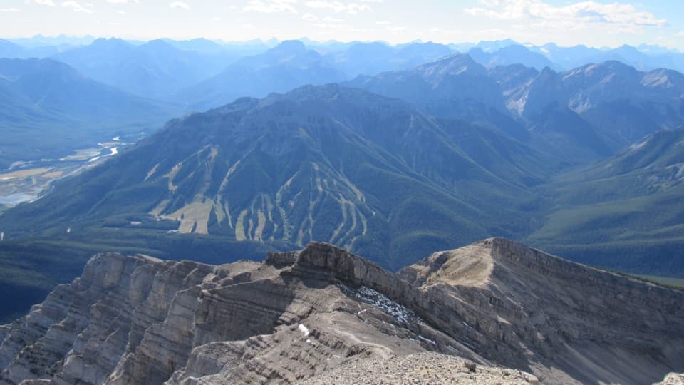 Sight · 8.7 km awayMt. NorquayAn open-air chairlift climbs to wide Bow Valley views.
Parkwolf’s Banff ranking
The audio tour guide for the drive, plus offline maps, trails, and wildlife heatmaps for when the signal drops.





