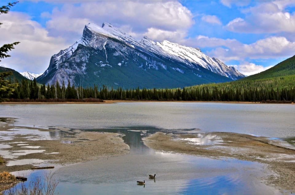
Harvey Pass Trail in Banff National Park

#11 of 162 trails in Banff

Banff National Park, AB

Harvey Pass Trail

A long climb through lake country to open Harvey Pass views.

Photo: Wikimedia Commons
Length
17.8km
Time
6.5hr
Elev. change
1,001m
Difficulty
Challenging
  • Dogs allowed
  • High point 2,435 m

Hear the audio tour

Bourgeau Lake and Harvey Pass

Overview

About Harvey Pass Trail

Why go

  • A full change of scenery from forest to lake, meadow and high pass.
  • Harvey Pass opens views toward Assiniboine and Sunshine Meadows.

Heads up

  • 17.8 km and 1,010 m of gain make it a full-day climb.
  • The final ascent is rough, rocky and loose underfoot.
Harvey Pass Trail is a long out-and-back from the Bourgeau Lake parking area, climbing through forest to Bourgeau Lake and then continuing to Harvey Pass. The full return is 17.8 km (11.1 miles) with 1,010 m of gain; allow 6–7 hours. This is a full mountain day, not a quick lake stroll: the climb starts right away and keeps building. If you want the lake but not the pass, Bourgeau Lake is the natural turnaround, but that is still 13.4 km round trip with 730 m of gain.
Parkwolf’s verdictIs this the hike for you?

Map & elevation

The route

Loading the Banff map
Full map
Elevation1,434–2,435 m
TrailheadBourgeau Lake Trailhead / Bourgeau Lake parking area51.16847, -115.73069
Keep this map with you offline in the Parkwolf app

Plan your hike

Before you go

Parking

Use the Bourgeau Lake parking area, 13 km west of Banff on the Trans-Canada Highway. Parking is limited paved parking, with two gender-neutral outhouses. Arrive early for a space; highway parking is illegal and unsafe, so do not park on the shoulder if the lot is full.

Safety

The upper climb is steep and rocky with loose footing; several mountain streams cross the lower trail. Above 2,000 m, avalanche exposure can occur year-round, especially November through June, and snow or ice may persist into summer. Carry food and water or a filter, and check Parks Canada trail and avalanche conditions before setting out.

8 active Banff alerts

  • ClosureJohnston Canyon Trail and Day Use Area closedJohnston Canyon Trail and Day Use Area are closed to all traffic and travel through December 11, 2026, because construction work requires protecting public and workers’ safety.Official details
  • ClosureBaker Lake and Hidden Lake campgrounds closed to campingCamping is prohibited at Baker Lake and Hidden Lake campgrounds through December 1, 2026, because a grizzly bear entered campsites and investigated tents and gear; the closures reduce risk to…Official details
See all 8 alerts
A park ranger sits on a dash-mounted phone, talking, as Parkwolf’s Tour Guide plays “Army Cutworm Moths: A Grizzly Bear Buffet” on Grand Loop Road below Dunraven Pass in Yellowstone
Parkwolf Tour GuideThe highest, rockiest slopes around here are a summer buffet for grizzly bears.

Banff Tour Guide

Your drive to Harvey Pass Trail, narrated.

Parkwolf is a GPS audio tour guide for Banff National Park. As you drive, it chimes in with what’s ahead: hidden gems, upcoming stops, history, geology, and wildlife, right through your car’s speakers.

See the Banff audio tour

Recorded for this trailhead

Bourgeau Lake and Harvey Pass
0:00 / 0:29
“You're approaching Bourgeau Lake trailhead, where the hike to Harvey Pass takes six to seven hours round trip. A long forest climb reaches the lake's glacier-carved rock bowl.”

Plays as you drive up to this trailhead in the Parkwolf Banff Tour Guide.

More stories near here in the app

  • Muleshoe: A Picnic and a Birdwatching Pause
  • A Chick Riding on a Loon
  • The Newspaper Argument Behind an Alpine Club
  • Backswamp Viewpoint: River and Mount Bourgeau
  • 185 audio storiesacross Banff’s roads, triggered by GPS as you drive
  • Wildlife heatmapsfor Grizzly Bear, Brown Bear, Gray Wolf, and 13 more
  • Works offlinemaps, 162 trails, 90 places, and audio download before you lose signal
  • CarPlay readysimple controls built for the drive
★★★★★
“…Loved the commentary as you drove thru. I’m sure the app can do more than I know but the tips were very helpful. I’m gonna use it when we go to Banff next month.”
tesja22App Store review
Download Parkwolf on the App StoreGet Parkwolf on Google Play

4.7 from 8,600+ ratings

Trail guide

Hiking Harvey Pass Trail

Start from the right parking areaThe trailhead is the Bourgeau Lake parking area, 13 km west of Banff on the Trans-Canada…

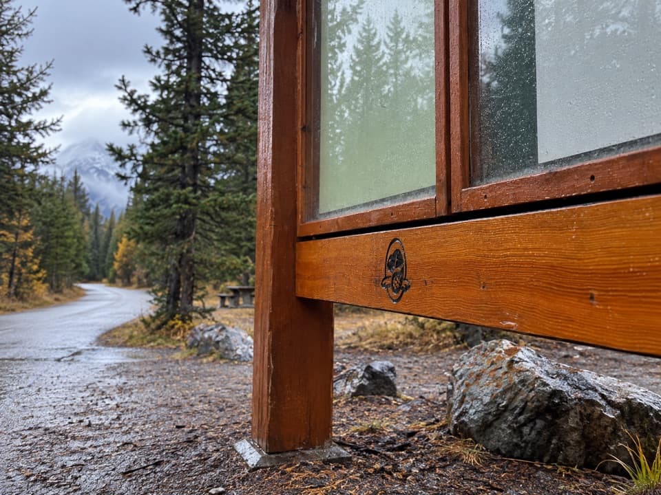
The trailhead is the Bourgeau Lake parking area, 13 km west of Banff on the Trans-Canada Highway. Parking is limited, with two gender-neutral outhouses and no food service. The lot is small; if it is full, do not improvise with a highway shoulder stop—roadside parking is illegal and unsafe. There is no dependable drinking water on the route, so carry enough water or a filter and pack food for a long day. In summer, dogs are allowed unless a trail restriction says otherwise; Parks Canada requires them to stay leashed and under physical control.

The forest climb and Bourgeau LakeThe lower trail is a steady climb through trees, with roots and rocks underfoot and several…

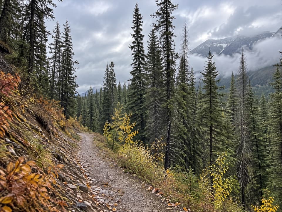
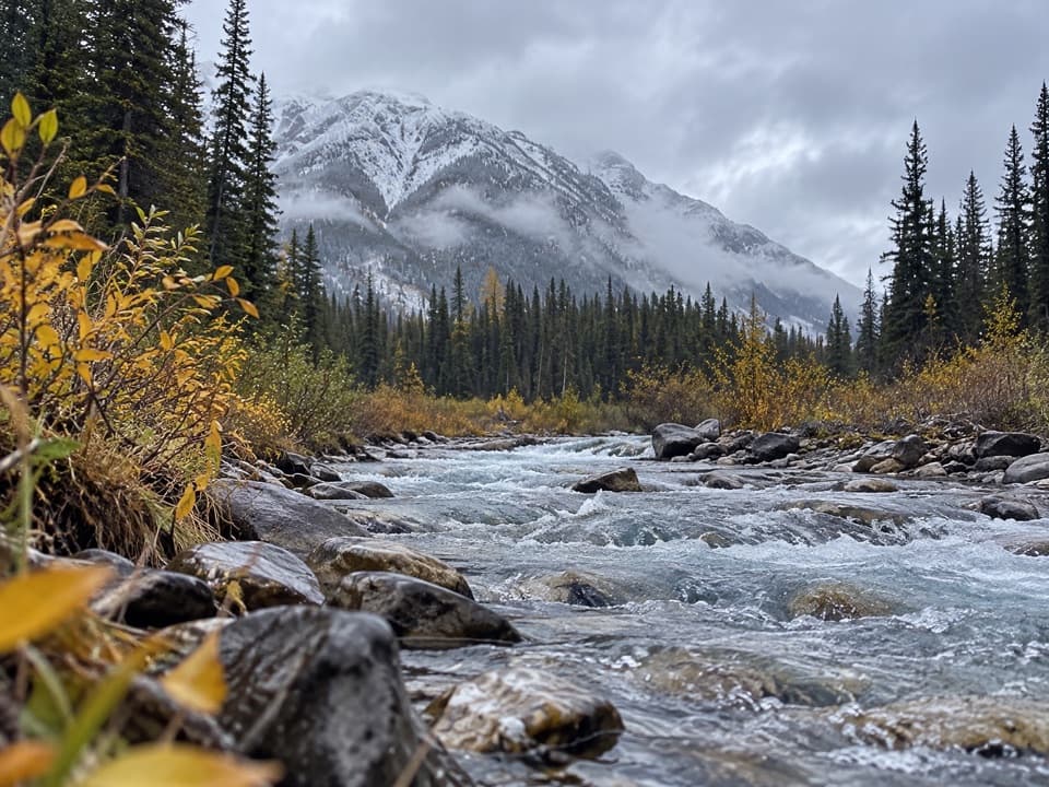
The lower trail is a steady climb through trees, with roots and rocks underfoot and several mountain-stream crossings. Wolverine Creek crosses the route more than once, and a waterfall gives you a reason to pause before the lake. The forest can make the ascent feel repetitive, so use the creek and waterfall as small landmarks rather than expecting one quick push to the basin.

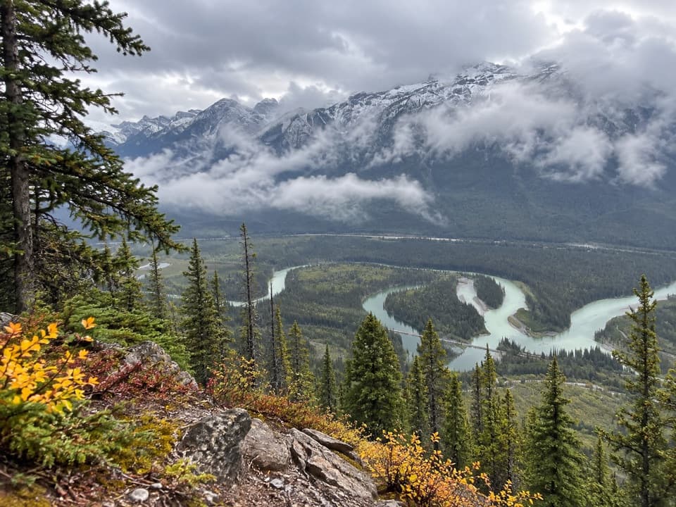
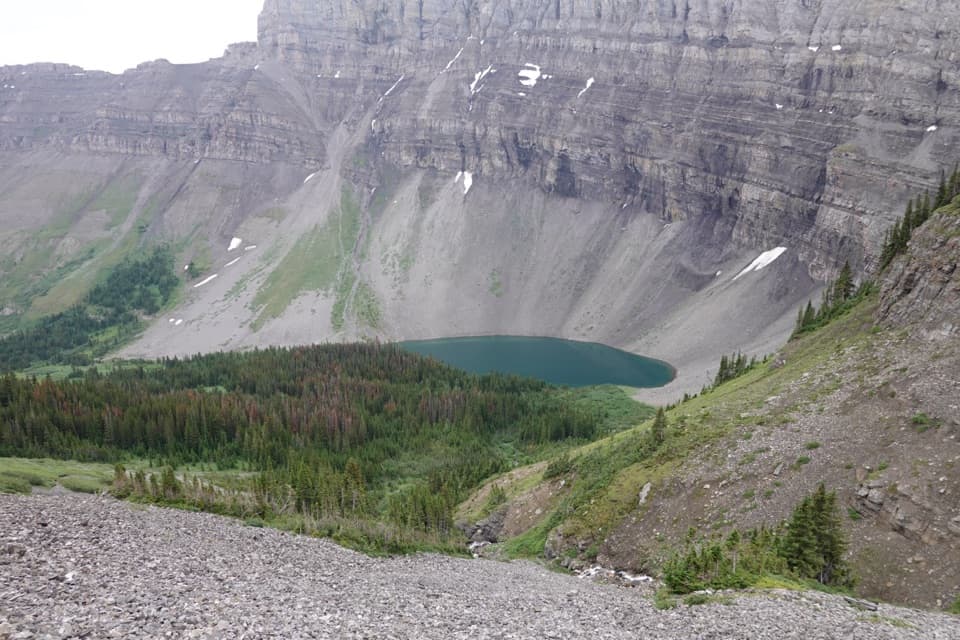
After 6.7 km, the trees thin at Bourgeau Lake. The water sits inside a steep, glacially carved amphitheatre, with a high rock wall closing the view around it. It is a satisfying destination on its own, but the pass route continues beyond the lake rather than ending at the shore.

The rougher climb to Harvey PassFrom Bourgeau Lake, the final 2.

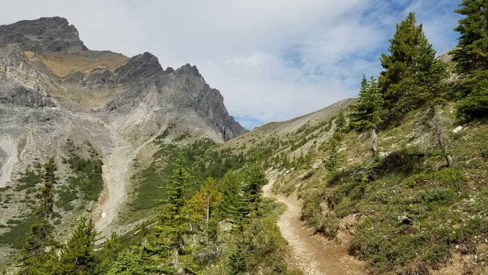
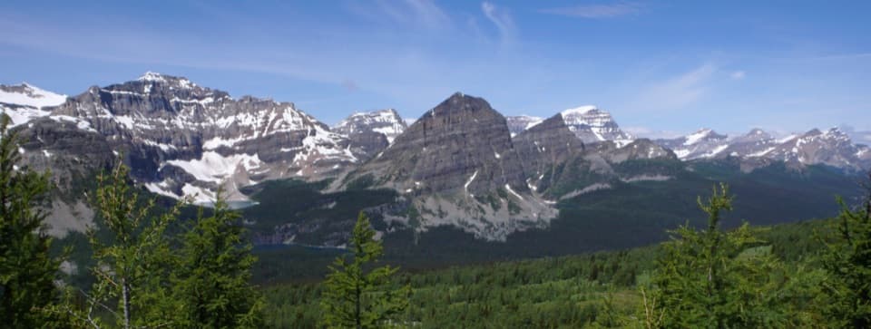
From Bourgeau Lake, the final 2.2 km climbs on a rough, rocky trail past small lakes and into open meadows. The grade steepens and the rock gets looser, so the upper approach takes more care than the forest path; poles can help on the way down. Harvey Lake and the small tarns mark the transition into the pass country. At Harvey Pass, the view opens toward Mount Assiniboine to the south, as well as Sunshine Village and Sunshine Meadows. The Mount Bourgeau summit is a separate extension and is not included in this route or its distance.

A glacial basin worth noticingBourgeau Lake’s amphitheatre is the walk’s clearest geology lesson: ice carved a basin below…

Bourgeau Lake’s amphitheatre is the walk’s clearest geology lesson: ice carved a basin below the surrounding rock walls, leaving a lake tucked at their foot. From the higher trail, you can look back over the dark water and the scale of the enclosing cliffs at once. At the lake, leave a little rocky shoreline in the foreground if you take a photo; it helps show how large the wall is.

Effort and mountain conditionsParks Canada groups this among its moderate hikes, but the full route is hard work for many day…

Parks Canada groups this among its moderate hikes, but the full route is hard work for many day hikers: it is long, gains about a kilometre in elevation, and saves its roughest footing for the upper climb. Above 2,000 m, Parks Canada warns that avalanche exposure can occur year-round, especially from November through June. Snow can linger into summer, and snow or ice can make route-finding difficult. Check official trail and avalanche conditions before setting out; mountain weather can turn to snow in any month.

Wildlife

Wildlife in Banff

All Banff wildlife maps

Sighting maps show where each species has been reported across Banff. Wildlife moves, so no sighting is guaranteed.

Keep exploring

Near Harvey Pass Trail

See it all on the map

Trails that start nearby

Places near the trailhead

Parkwolf’s Banff ranking

Top-rated trails in Banff

All 162 trails
  1. 1Sentinel Pass via Larch Valley TrailChallenging · 11.2 km
  2. 2Plain of Six Glaciers TrailModerate · 11.6 km
  3. 3Lake Agnes TrailModerate · 7.8 km
  4. 4Johnston Canyon Trail to Upper FallsEasy · 4.8 km
  5. 5Larch Valley / Minnestimma Lakes TrailModerate · 9 km
  6. 6Parker Ridge TrailModerate · 5.6 km

Take Parkwolf to Banff.

The audio tour guide for the drive, plus offline maps, trails, and wildlife heatmaps for when the signal drops.

4.7 from 8,600+ ratings

Download Parkwolf on the App StoreGet Parkwolf on Google Play