Moderate

Burstall Pass Trail

Varied approach to a larch-lined pass with big Spray Valley views
Burstall Pass Trail, Banff National Park
Distance9.6 mi
Typical time5.5 hr
DifficultyModerate
PetsAllowed

Why go

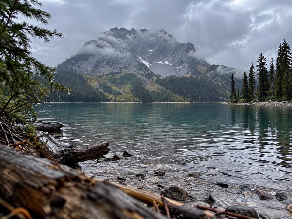
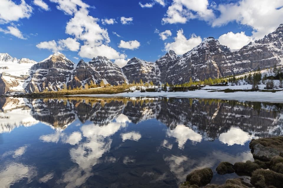
This is a classic Canadian Rockies pass day: forest, lakes, open willow flats, then a steady climb to broad alpine meadows and Burstall Pass, where the world opens toward the Spray Valley and into Banff National Park. It’s especially gorgeous in late September when the larch forests around the pass light up gold. If you like a bit of adventure (wet feet included) with a huge payoff, this one delivers.

The experience

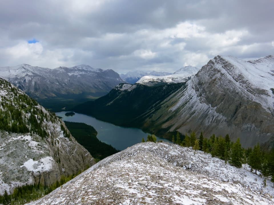
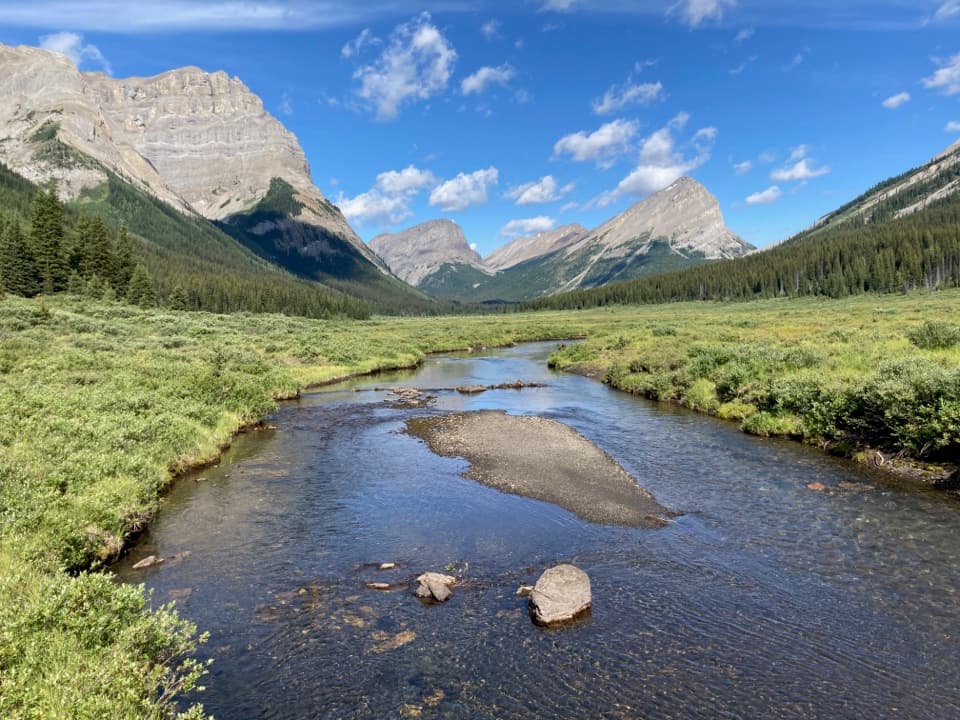
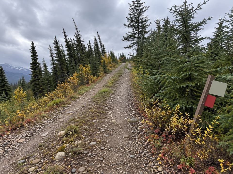
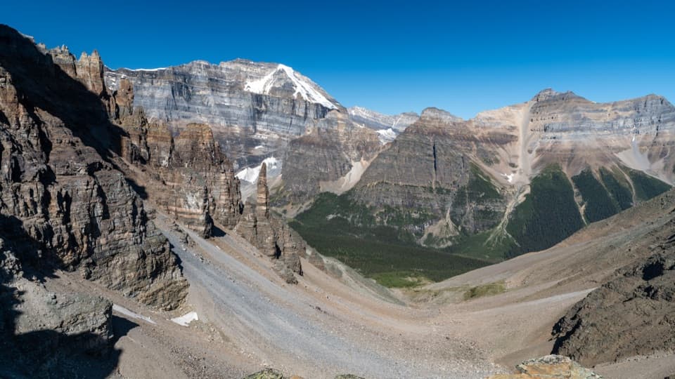
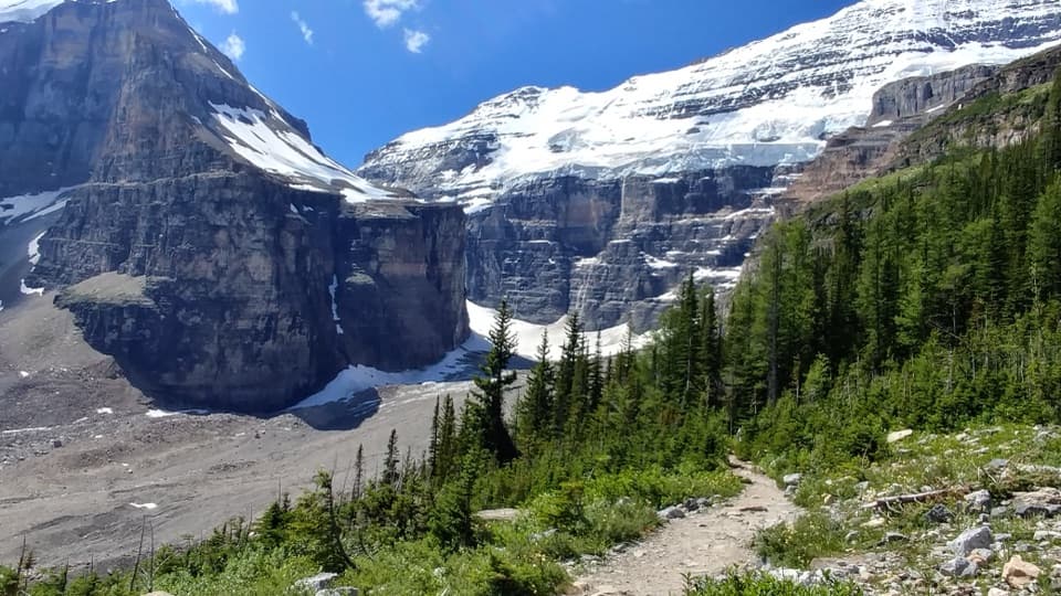
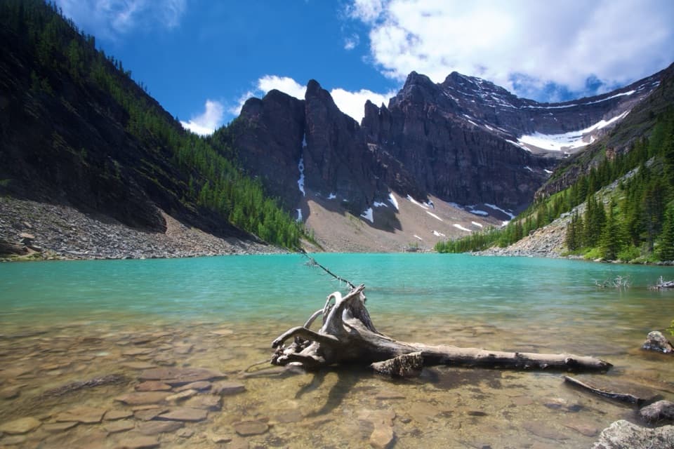
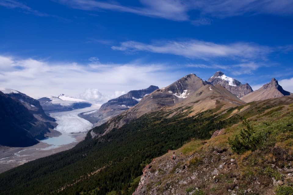
From the Burstall Pass parking area, you roll out on a wide old logging road through forest, passing the Burstall Lakes and Mud Lake area before the trail narrows. A broad willow flat and braided glacial outflow comes next—expect multiple shallow creek crossings and soft, wet sections. Beyond the flats, the path re-enters forest and climbs steadily to open alpine meadows and the pass itself. Views span the Spray Range, with Mount Chester and Mount Galatea close at hand; on clear days you can spot Leman Lake in the distance. Continue a bit beyond the pass and you’re inside Banff National Park on gentle downhill singletrack.

Stats and effort

Plan on roughly 15–16 km (about 9.5–10 miles) round-trip with around 470–480 m (1,500–1,575 ft) of gain. Most hikers take 4.5–6 hours depending on pace, time at the pass, and how much exploring they do beyond it. It’s rated moderate: never technical, but the climb is sustained and the wet flats can slow you down.

Season and timing

Hike it in summer through early autumn for the driest flats and clearest views; late September is peak larch season and the star attraction here. Spring runoff can make the flats deeper and colder. The route sees winter use, but that’s avalanche terrain—only go with proper skills and awareness. Weekends and larch season get busy; start early for parking and quieter trail time.

Practical tips

Bring sandals or water shoes for the flats, plus dry socks for after. It’s often windy and cooler at the pass—pack layers. Bikes are allowed only for the first 2.7 km; beyond that it’s hikers-only. Navigation is straightforward, but carry a map/GPS if you plan to continue deeper into Banff beyond the pass. This is bear country—carry bear spray and make noise. Group sizes may be limited (often to 15); check current regulations.

Extending your day

If you’re feeling strong, continuing beyond the pass into Banff NP gives bigger valley views and quieter trail. Confident parties sometimes push toward connectors that lead to Leman Lake and the backcountry beyond (permits required for camping).

Pros

  • Peak larch viewing around the pass with expansive golden slopes
  • Easy to extend beyond the pass into Banff for bigger, quieter views

Cons

  • Unbridged willow-flat crossings almost guarantee wet feet
  • Very busy during larch season; parking fills early

Parking

Park at Burstall Pass Day Use/Parking on Smith-Dorrien/Spray Lakes Road (Hwy 742). A Kananaskis Conservation Pass is required for your vehicle.

Caution

Braided, unbridged creek crossings in the willow flats; expect wet, cold water—bring sandals or water shoes. Wind and cooler temps at the pass. Bear country—carry spray. Winter travel requires avalanche awareness. Group size limits may apply.

The Parkwolf tour guide sitting on a phone mounted in a car

Parkwolf Tour Guide

Like a tour guide in your car.

Bring Banff trail research into the car, with offline maps and stories that play as you drive.Download Parkwolf on the App Store