Parking
The closest road access is Burstall Pass Day Use Area in Kananaskis Country. From there, reach Burstall Campground by crossing Burstall Pass, about 12.5 km one way, then begin the lake spur from the nearby Great Divide Trail junction.
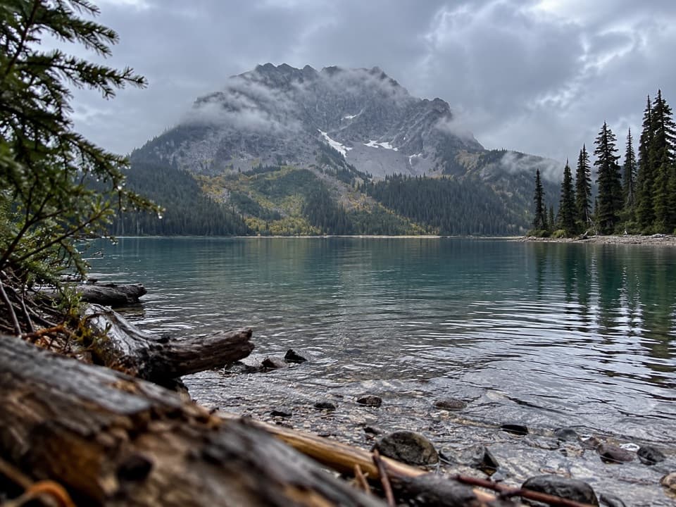
Banff National Park, AB
A backcountry spur toward Leman Lake, reached over Burstall Pass.
Overview
A 3.04-mile out-and-back follows the named Leman Lake Trail from a junction beside Burstall Campground toward a mountain-backed lake view. This backcountry spur starts well beyond the road: from Burstall Pass Day Use Area, the approach to the campground is about 12.5 km one way over Burstall Pass. Add that approach separately and reserve the campground before an overnight stay. The reported lake view does not include direct access to the water.
Map & elevation
Plan your hike

The highest, rockiest slopes around here are a summer buffet for grizzly bears.
Banff Tour Guide
Parkwolf is a GPS audio tour guide for Banff National Park. As you drive, it chimes in with what’s ahead: hidden gems, upcoming stops, history, geology, and wildlife, right through your car’s speakers.
See the Banff audio tour“…Loved the commentary as you drove thru. I’m sure the app can do more than I know but the tips were very helpful. I’m gonna use it when we go to Banff next month.”


Trail guide
The route follows a narrow, twisting forest track from the Great Divide Trail junction beside camp, crosses the creek bridge near camp and continues south toward the lake. The mapped corridor is about 1.52 miles each way; allow around two hours for the return walk. You get the lake and its mountain backdrop without the pass approach only if you are already in the backcountry. The route does not reach an accessible shoreline, so expect a view rather than a lakeside wander.
The road-access start is the Burstall Pass Day Use Area in Kananaskis Country. A field account measures about 12.5 km one way to the campground, with 549 m of climbing and 582 m of descent, crossing Burstall Pass and descending into the valley. Those figures stop at camp; the Leman Lake spur is extra. It is a substantial day if you return to the road, and an overnight trip needs a reserved backcountry campsite.
The pass approach crosses braided glacier-outflow channels; flagged poles guide the crossing, and water can be deep. Higher parts of the route may stay snowbound into late June. Dogs must be leashed and under physical control in Banff.
Wildlife
 123 sightingsGrizzly BearMost seen around 6 AMSighting map
 150 sightingsBrown BearMost seen around 6 PMSighting map
 44 sightingsGray WolfMost seen around 6 AMSighting map
 12 sightingsRiver OtterMost seen around 8 PMSighting map
 69 sightingsMooseMost seen around 8 PMSighting map
 466 sightingsBlack BearMost seen around 9 PMSighting map
Sighting maps show where each species has been reported across Banff. Wildlife moves, so no sighting is guaranteed.
Keep exploring
 ModerateBurstall Pass Trail14.8 km · 6 hr · 8.3 km awayWet stream crossings lead to a steep climb and broad alpine views.
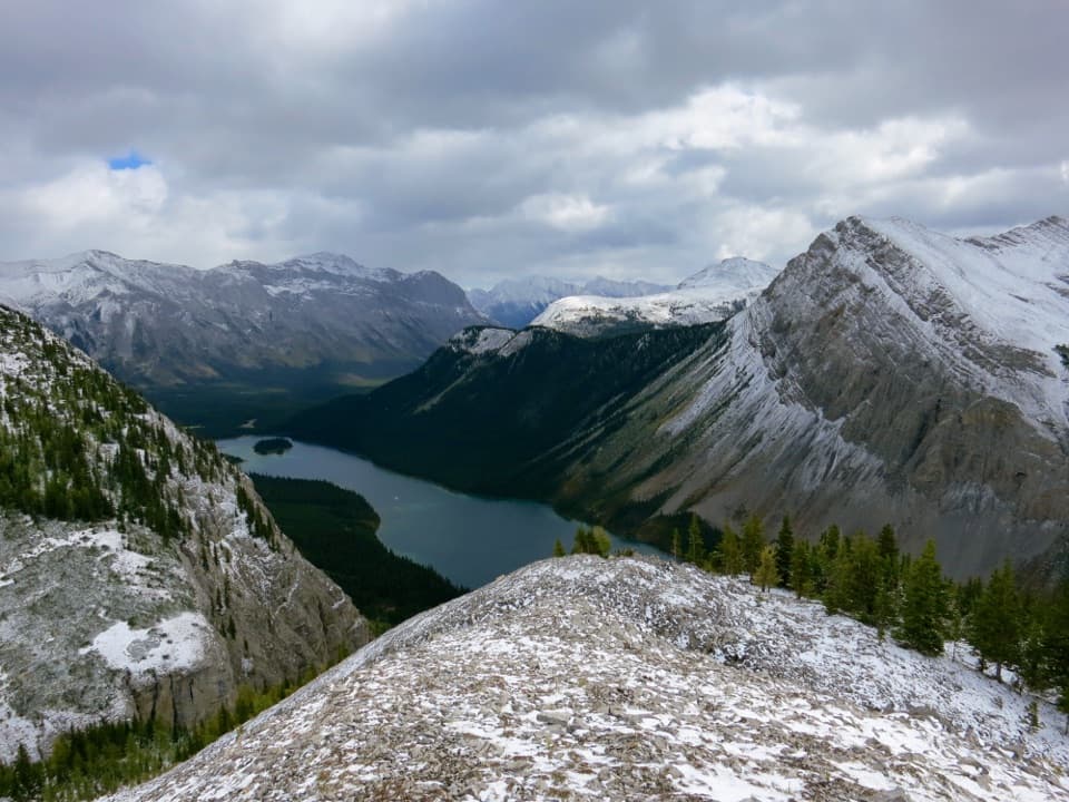 ChallengingWonder Pass Trail26.5 km · 8 hr · 11 km awayA long one-way alpine approach over Wonder Pass to Lake Magog
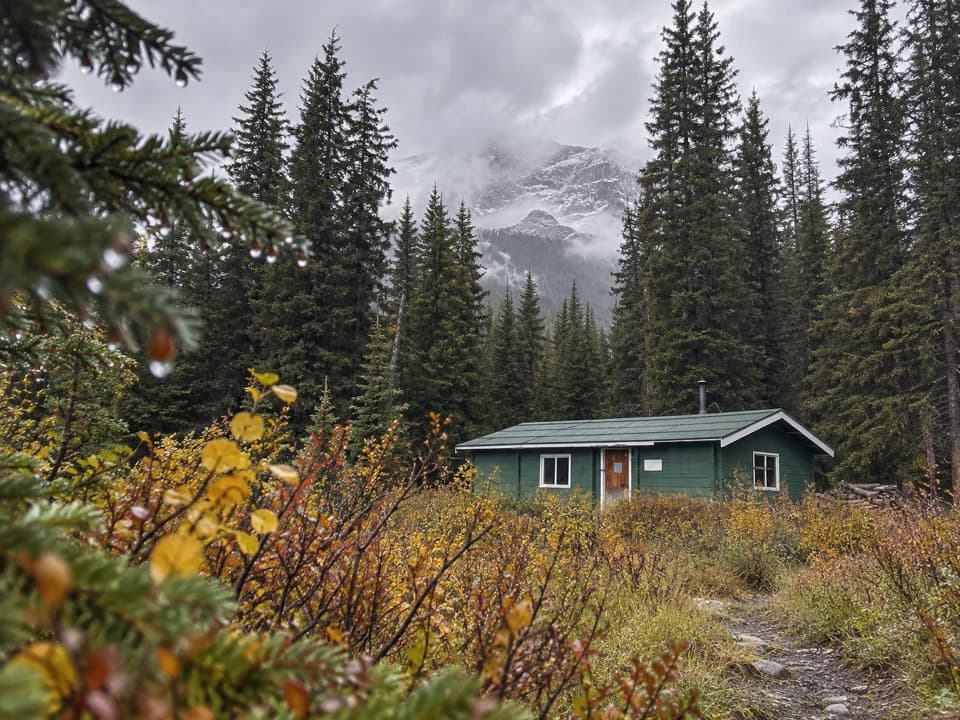 ModerateBryant Creek Trail26.7 km · 9 hr · 11 km awayA long, signed valley walk toward the Assiniboine high country.
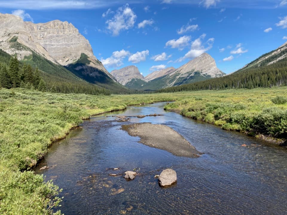 ChallengingAssiniboine Pass Trail21.8 km · 7 hr · 11.1 km awayA long backcountry approach climbs from Mount Shark to Assiniboine Pass.
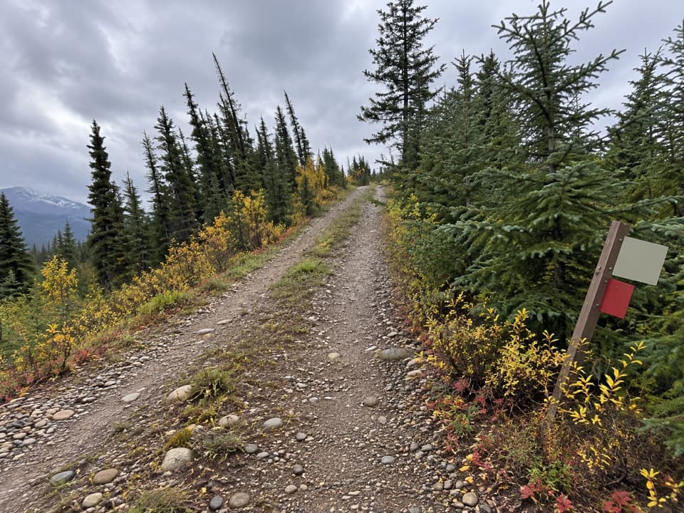 ModerateMarvel Lake Campground Trail25.7 km · 7 hr · 11.1 km awayA long Bryant Creek walk to Marvel Lake’s backcountry camp.
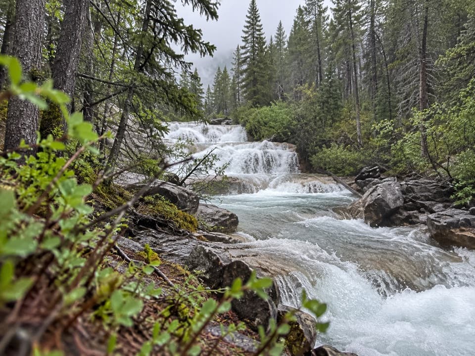 ChallengingAurora Creek-Marvel Pass Trail16.8 km · 8 hr · 17.5 km awayA long creek walk climbs to alpine meadows below Marvel Pass.
Parkwolf’s Banff ranking

The audio tour guide for the drive, plus offline maps, trails, and wildlife heatmaps for when the signal drops.





