Parking
Moraine Lake Road is closed to personal vehicles year-round. Arrive by Parks Canada shuttle or an authorized commercial operator; the shared trail access begins near Moraine Lake Lodge, with a marked approach from the transit area.
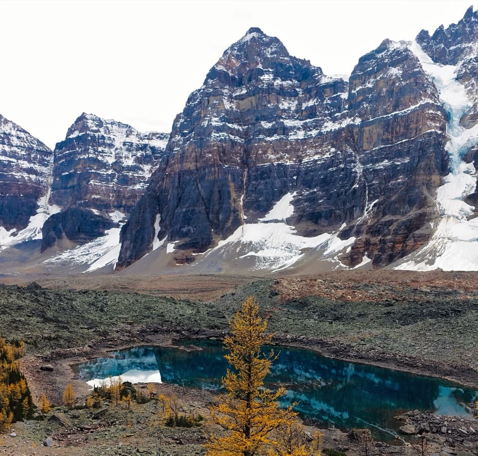
Banff National Park, AB
A steady climb ends at a quiet lake under the Ten Peaks.
Overview
Map & elevation
Plan your hike

The highest, rockiest slopes around here are a summer buffet for grizzly bears.
Banff Tour Guide
Parkwolf is a GPS audio tour guide for Banff National Park. As you drive, it chimes in with what’s ahead: hidden gems, upcoming stops, history, geology, and wildlife, right through your car’s speakers.
See the Banff audio tourRecorded for this trailhead
Moraine Lake Shuttles at the Park and Ride“You're approaching Lake Louise Park and Ride by the ski resort, the boarding point for Parks Canada's seasonal Moraine Lake shuttles.”
Plays as you drive up to this trailhead in the Parkwolf Banff Tour Guide.
More stories near here in the app
“…Loved the commentary as you drove thru. I’m sure the app can do more than I know but the tips were very helpful. I’m gonna use it when we go to Banff next month.”


Trail guide
Eiffel Lake Trail is a 7-mile (11.2-km) out-and-back from the Moraine Lake transit access to the alpine basin below the Valley of the Ten Peaks. The distance includes the shared approach past Moraine Lake Lodge, then the left branch toward Eiffel Lake. Allow about five hours; it is a moderate hike with a sustained climb. Parks Canada’s area guide lists 560 m of gain, while another detailed route account gives about 400 m, so plan for a real uphill effort rather than relying on the lower estimate.
From the access area, follow the marked path past the lodge onto the route shared with Larch Valley and Sentinel Pass. About ten switchbacks climb through the forest and do most of the hard work. At the signed junction, turn left for Eiffel Lake; the other branch continues toward Larch Valley and Sentinel Pass. The tread is easy to follow, but the climb is abrupt.
After the fork, the trail climbs more gently across subalpine slopes for roughly 3.2 km. Wildflowers brighten the summer walk, and larches turn gold near treeline in late September. The route ends beside Eiffel Lake with a close view into the Ten Peaks and toward Fay Glacier. Eiffel Lake lacks the fine glacial rock flour that gives many nearby lakes their bright blue color, so its darker water reflects the cliffs and snow instead.
The trail is exposed above the forest, and snow can linger at this elevation early or late in the hiking season. Check current conditions before setting out, especially in shoulder season. Grizzly bears use this country: carry bear spray where you can reach it and know how to use it. A photo from the lake works best with some shoreline or larch branches in the frame to show the scale of the peaks.
Moraine Lake Road is closed to personal vehicles year-round. Arrive by Parks Canada shuttle or an authorized commercial operator, then follow the shared marked path past the lodge. This distance includes that approach to the signed trail junction. Dogs are allowed on Banff trails in summer unless a specific restriction is posted; keep them leashed and under control. Food or water service on the route was not confirmed, so carry enough for the outing.
Wildlife
 123 sightingsGrizzly BearMost seen around 6 AMSighting map
 150 sightingsBrown BearMost seen around 6 PMSighting map
 44 sightingsGray WolfMost seen around 6 AMSighting map
 12 sightingsRiver OtterMost seen around 8 PMSighting map
 69 sightingsMooseMost seen around 8 PMSighting map
 466 sightingsBlack BearMost seen around 9 PMSighting map
Sighting maps show where each species has been reported across Banff. Wildlife moves, so no sighting is guaranteed.
Keep exploring
 ChallengingSentinel Pass via Larch Valley Trail11.2 km · 5 hr · At the trailheadGolden larches, steep switchbacks, and a high pass between two valleys.
 ModerateLarch Valley / Minnestimma Lakes Trail9 km · 3.8 hr · At the trailheadClimb through larches to Minnestimma Lakes below Sentinel Pass.
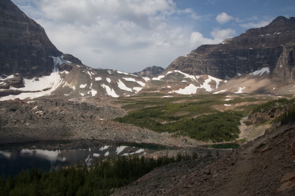 ChallengingWenkchemna Pass Trail19.2 km · 7.8 hr · At the trailheadAn all-day climb to the pass beyond Eiffel Lake.
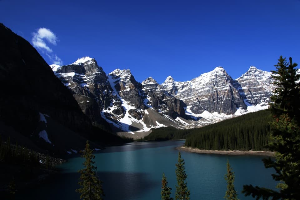 EasyRockpile Loop0.7 km · 30 min · 0.1 km awayA short climb for Moraine Lake’s classic Ten Peaks view
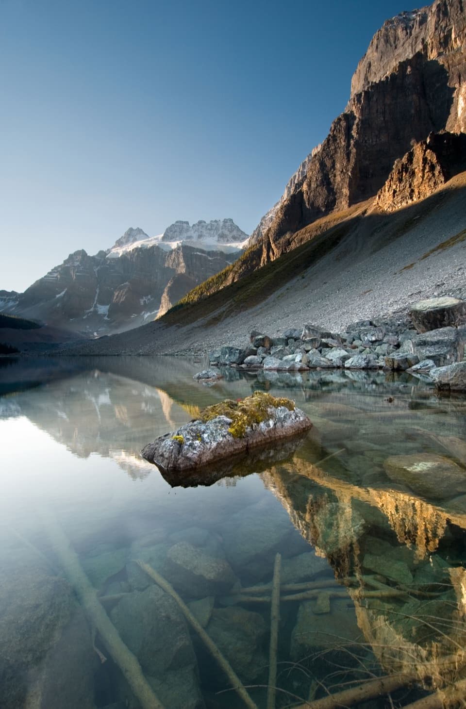 EasyConsolation Lakes Trail5.8 km · 2 hr · 0.1 km awayFrom talus and forest to a meadow beneath Quadra Glacier.
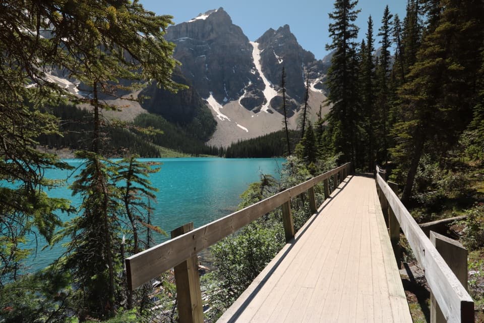 EasyMoraine Lake Lakeshore Trail2.6 km · 45 min · 0.2 km awayAn easy shore walk beneath Mount Fay and the Fay Glacier.
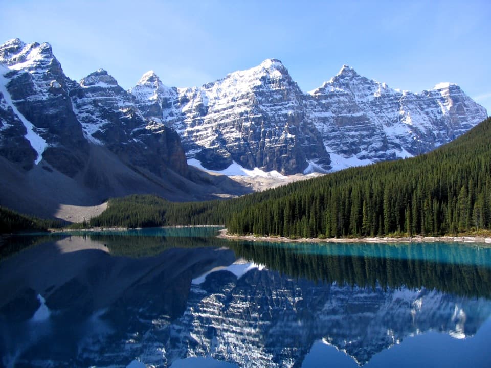 ChallengingMoraine Lake Highline Trail9.3 km · 4 hr · 7 km awayA rugged one-way traverse to Moraine Lake below Mount Temple.
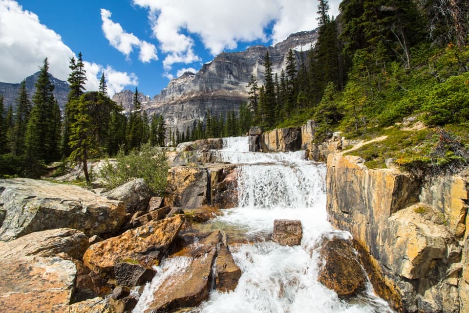 ChallengingParadise Valley and Giant Steps Trail19.6 km · 7.5 hr · 7.6 km awayA full-day valley hike to Lake Annette and Giant Steps waterfall.
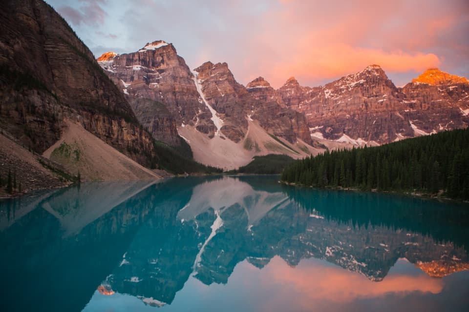 Sight · 0.8 km awayMoraine LakeBlue-green water beneath the Ten Peaks, best seen from the Rockpile
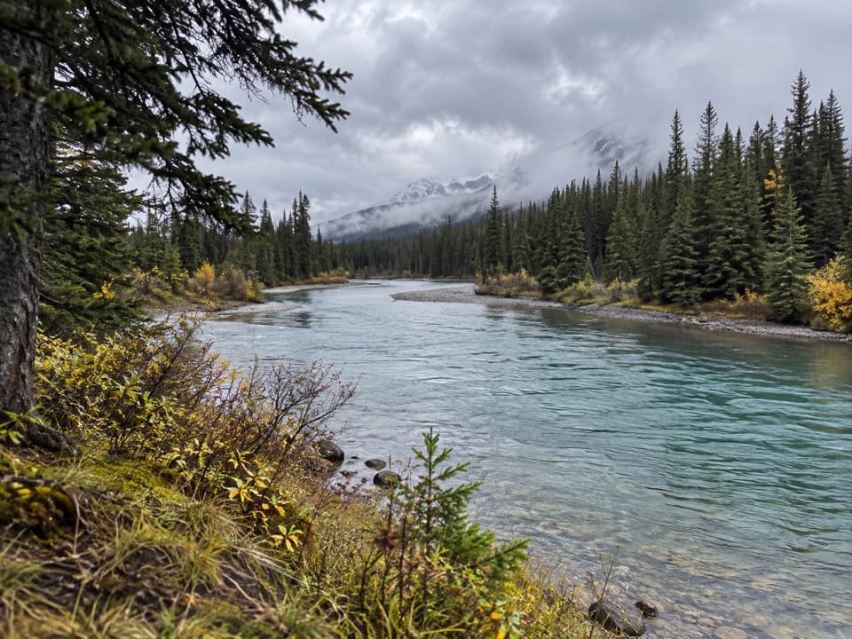 Picnic area · 7.1 km awayTemple ViewpointTake a picnic break where the Bow River bends through Banff.
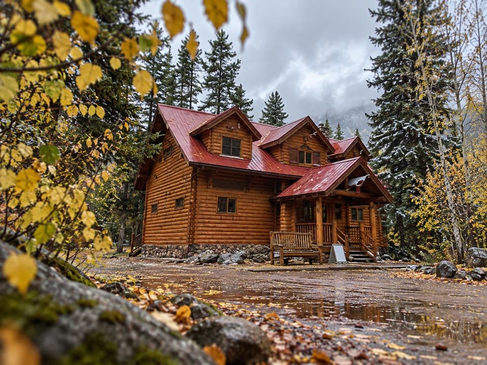 Lodging · 8.1 km awayBaker Creek by BasecampCreekside cabin stays come with firepits and a grab-and-go café.
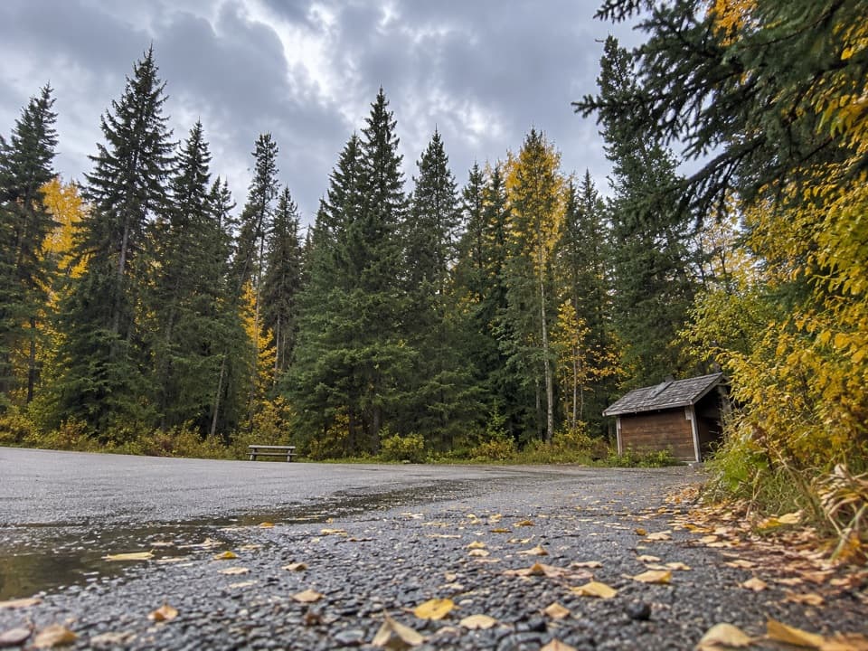 Picnic area · 8.4 km awayBaker Creek Picnic AreaA shaded creekside pause for lunch and a short leg-stretch.
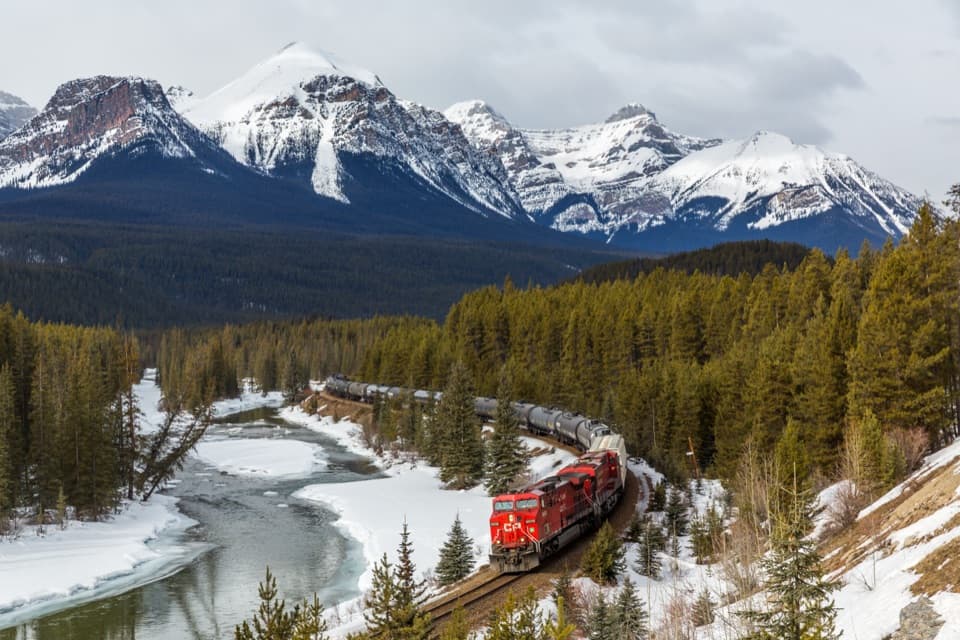 Sight · 8.8 km awayMorant’s CurveA river, railway curve and high peaks in one frame.
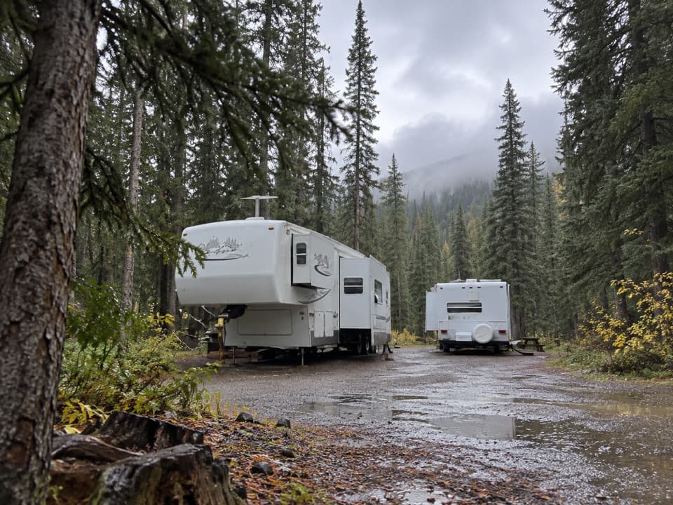 Campground · 9.2 km awayLake Louise Hard-sided CampgroundRV base with electric sites near Lake Louise; trains run nearby.
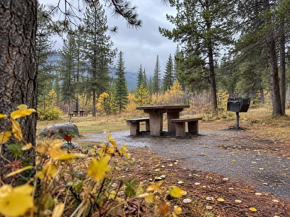 Picnic area · 9.3 km awayCorral Creek Picnic AreaTables and outhouses make a useful Bow Valley Parkway pause.
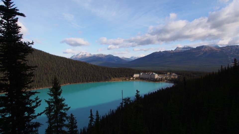 Sight · 9.5 km awayFairview LookoutA steep climb pays off with Lake Louise and the Chateau
Parkwolf’s Banff ranking

The audio tour guide for the drive, plus offline maps, trails, and wildlife heatmaps for when the signal drops.



