Parking
There is no personal-vehicle access to Moraine Lake. Arrive by Parks Canada shuttle, tour bus, or licensed commercial transit; the trail begins just beyond Moraine Lake Lodge.
#16 of 162 trails in Banff
Banff National Park, AB
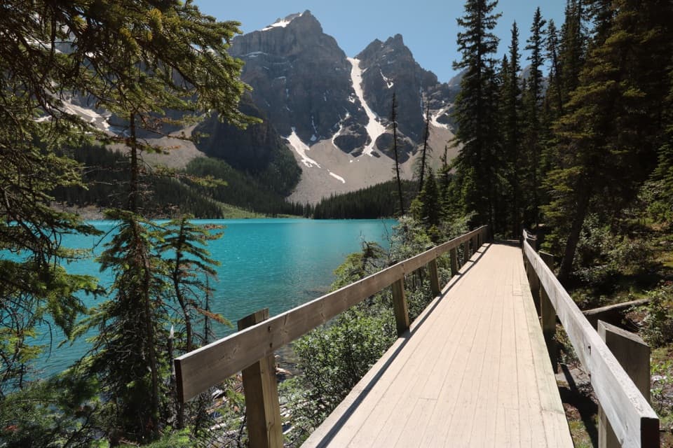
An easy shore walk beneath Mount Fay and the Fay Glacier.
Overview
Map & elevation
Plan your hike

The highest, rockiest slopes around here are a summer buffet for grizzly bears.
Banff Tour Guide
Parkwolf is a GPS audio tour guide for Banff National Park. As you drive, it chimes in with what’s ahead: hidden gems, upcoming stops, history, geology, and wildlife, right through your car’s speakers.
See the Banff audio tourRecorded for this trailhead
Moraine Lake Shuttles at the Park and Ride“You're approaching Lake Louise Park and Ride by the ski resort, the boarding point for Parks Canada's seasonal Moraine Lake shuttles.”
Plays as you drive up to this trailhead in the Parkwolf Banff Tour Guide.
More stories near here in the app
“…Loved the commentary as you drove thru. I’m sure the app can do more than I know but the tips were very helpful. I’m gonna use it when we go to Banff next month.”


Trail guide
The Moraine Lake Lakeshore Trail is an easy out-and-back beside the lake: 1.3 km (0.8 mi) each way, or 2.6 km (1.6 mi) round trip. Allow about 45 minutes. The official trail description calls the elevation change minimal, making this a gentle way to get down to the water without taking on a climb.
Start just beyond Moraine Lake Lodge and follow the shoreline path to its far end, then return the same way. Forest screens some stretches, with openings that bring the turquoise water back into view. Keep this mileage to the lakeshore route; the nearby Rockpile walk is a separate uphill trail.
Mount Fay and the Fay Glacier are the main payoff across the lake. The wooden shore boardwalk gives you a clear foreground for a photo, with water and the glacier beyond it.
Moraine Lake Road is closed to personal vehicles year-round. Reach the lake by shuttle, tour bus, or licensed commercial transit, then begin beyond the lodge. Dogs may walk the trail on leash. Non-service pets on Parks Canada shuttles must ride inside a small carrier held on the passenger’s lap.
Wildlife
 123 sightingsGrizzly BearMost seen around 6 AMSighting map
 150 sightingsBrown BearMost seen around 6 PMSighting map
 44 sightingsGray WolfMost seen around 6 AMSighting map
 12 sightingsRiver OtterMost seen around 8 PMSighting map
 69 sightingsMooseMost seen around 8 PMSighting map
 466 sightingsBlack BearMost seen around 9 PMSighting map
Sighting maps show where each species has been reported across Banff. Wildlife moves, so no sighting is guaranteed.
Keep exploring
 ChallengingSentinel Pass via Larch Valley Trail11.2 km · 5 hr · 0.2 km awayGolden larches, steep switchbacks, and a high pass between two valleys.
 ModerateLarch Valley / Minnestimma Lakes Trail9 km · 3.8 hr · 0.2 km awayClimb through larches to Minnestimma Lakes below Sentinel Pass.
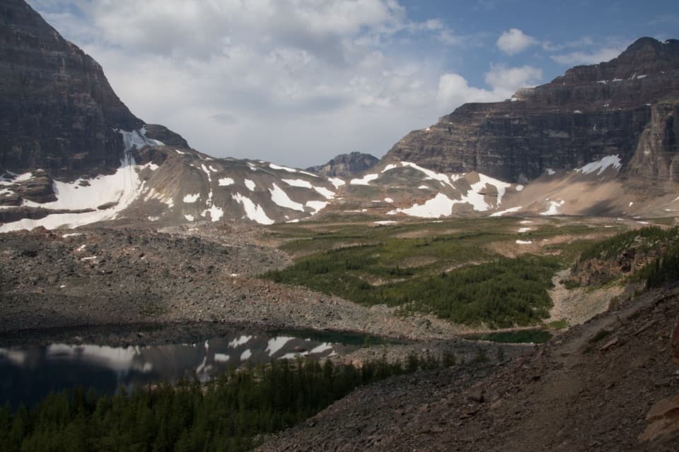 ChallengingWenkchemna Pass Trail19.2 km · 7.8 hr · 0.2 km awayAn all-day climb to the pass beyond Eiffel Lake.
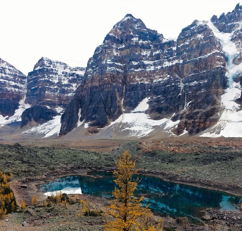 ModerateEiffel Lake Trail11.3 km · 5 hr · 0.2 km awayA steady climb ends at a quiet lake under the Ten Peaks.
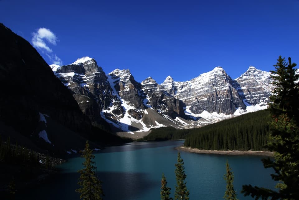 EasyRockpile Loop0.7 km · 30 min · 0.3 km awayA short climb for Moraine Lake’s classic Ten Peaks view
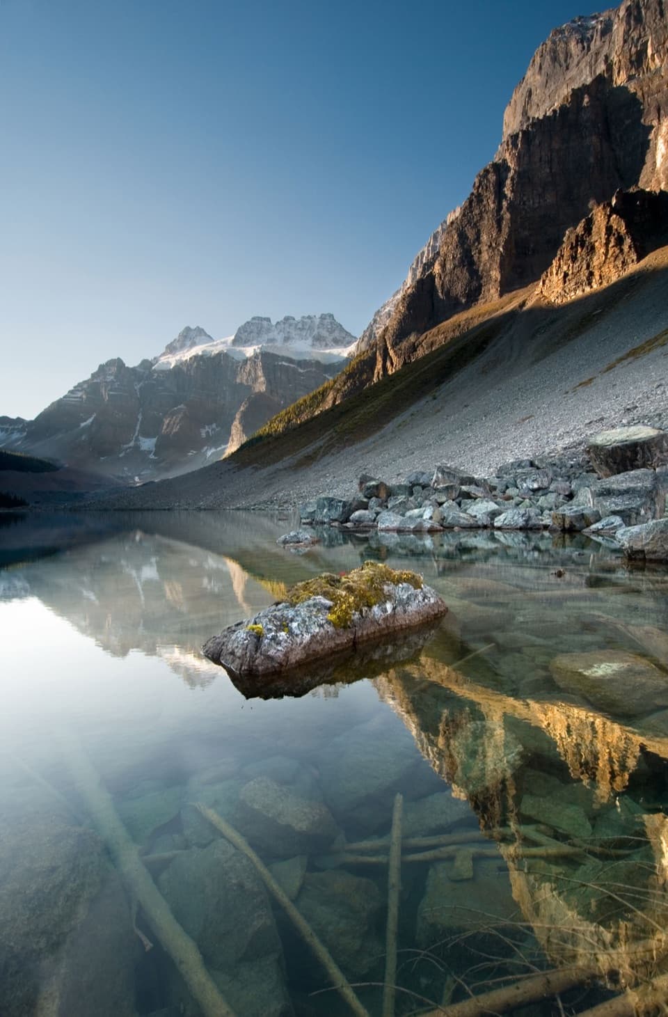 EasyConsolation Lakes Trail5.8 km · 2 hr · 0.3 km awayFrom talus and forest to a meadow beneath Quadra Glacier.
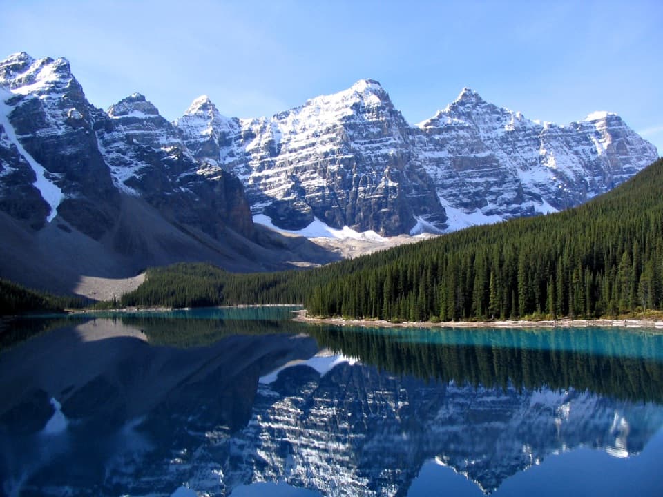 ChallengingMoraine Lake Highline Trail9.3 km · 4 hr · 7.1 km awayA rugged one-way traverse to Moraine Lake below Mount Temple.
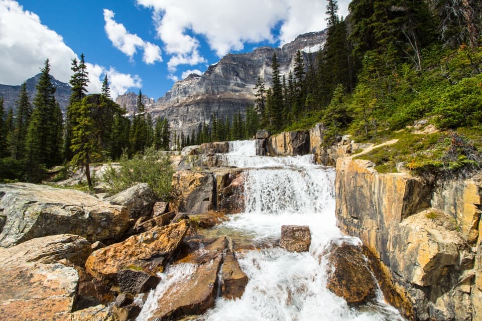 ChallengingParadise Valley and Giant Steps Trail19.6 km · 7.5 hr · 7.8 km awayA full-day valley hike to Lake Annette and Giant Steps waterfall.
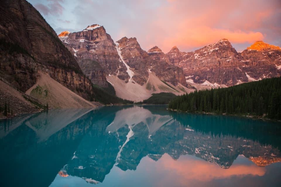 Sight · 0.6 km awayMoraine LakeBlue-green water beneath the Ten Peaks, best seen from the Rockpile
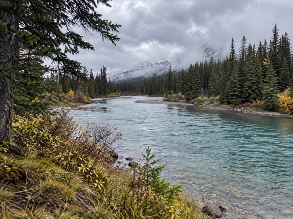 Picnic area · 7.4 km awayTemple ViewpointTake a picnic break where the Bow River bends through Banff.
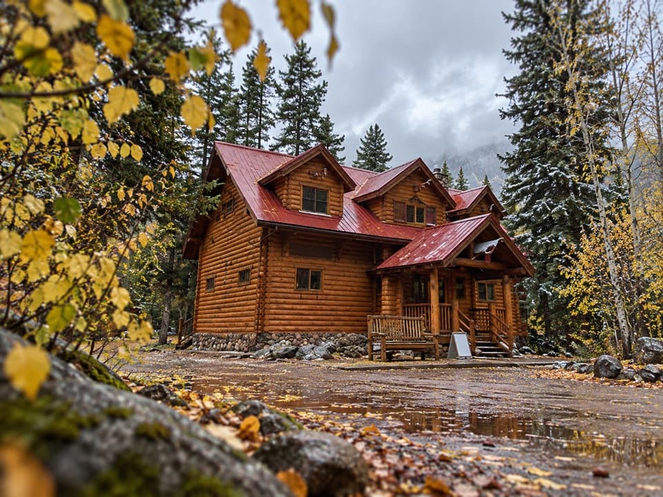 Lodging · 8.3 km awayBaker Creek by BasecampCreekside cabin stays come with firepits and a grab-and-go café.
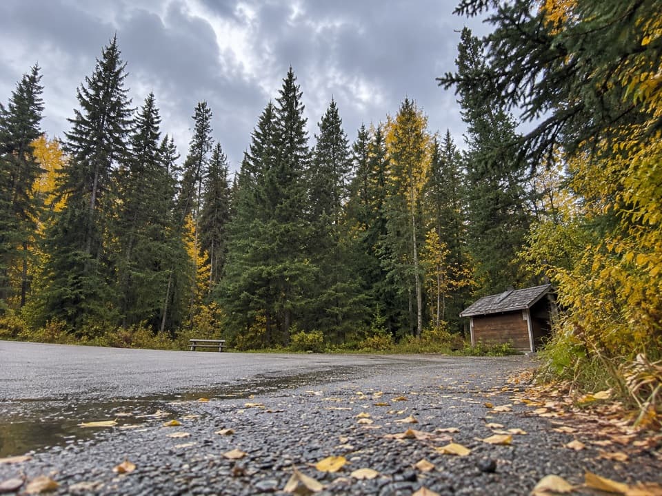 Picnic area · 8.6 km awayBaker Creek Picnic AreaA shaded creekside pause for lunch and a short leg-stretch.
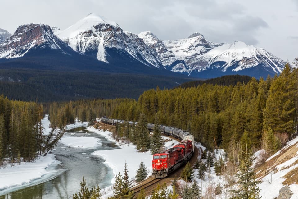 Sight · 9 km awayMorant’s CurveA river, railway curve and high peaks in one frame.
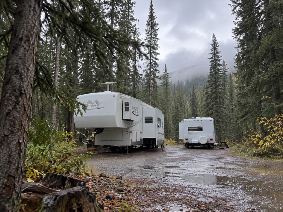 Campground · 9.4 km awayLake Louise Hard-sided CampgroundRV base with electric sites near Lake Louise; trains run nearby.
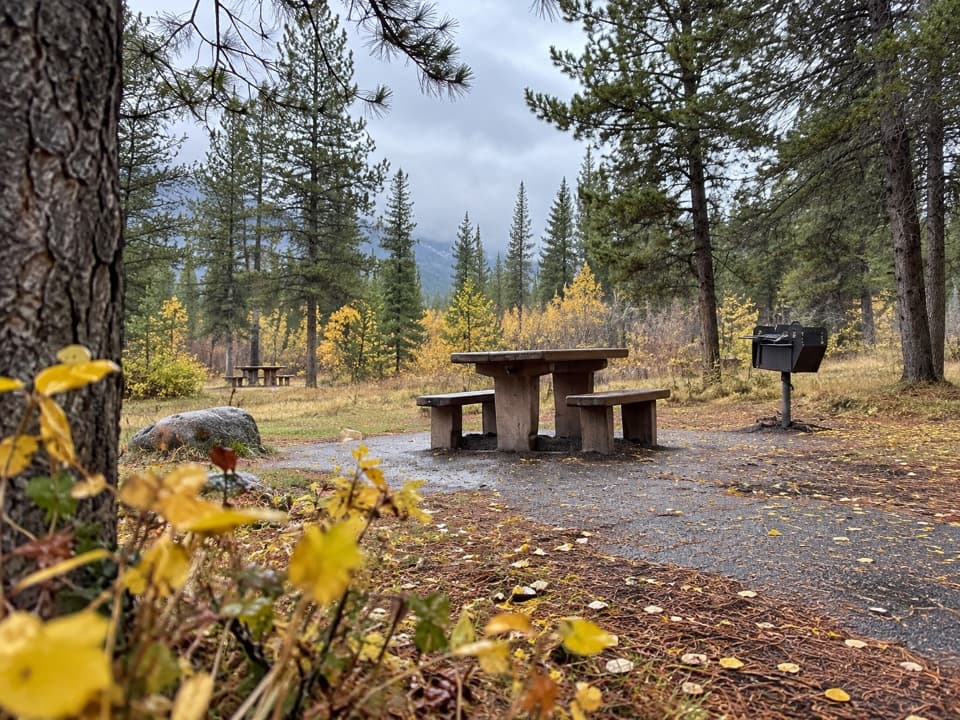 Picnic area · 9.5 km awayCorral Creek Picnic AreaTables and outhouses make a useful Bow Valley Parkway pause.
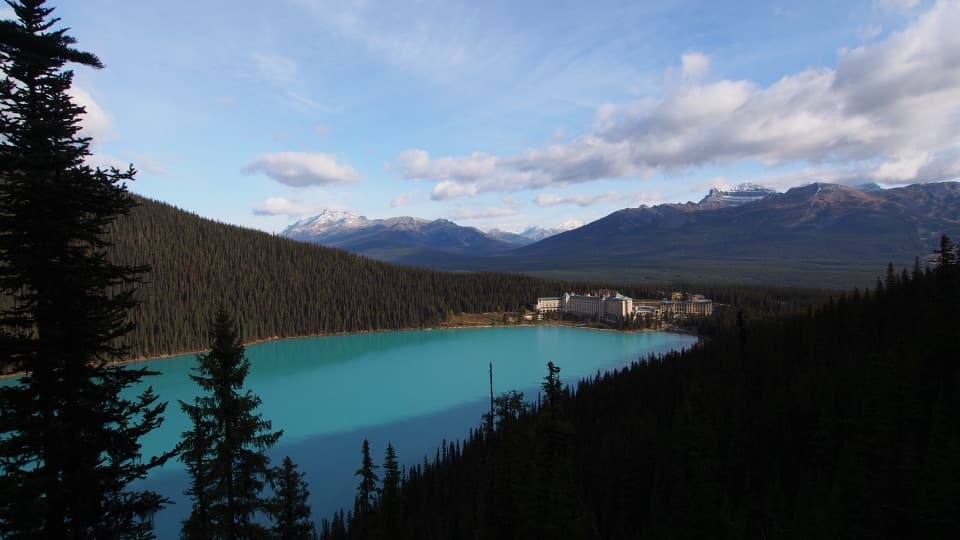 Sight · 9.7 km awayFairview LookoutA steep climb pays off with Lake Louise and the Chateau
Parkwolf’s Banff ranking

The audio tour guide for the drive, plus offline maps, trails, and wildlife heatmaps for when the signal drops.



