Parking
Start at the Moraine Lake Trailhead. Moraine Lake Road is closed to personal vehicles year-round; arrange access with an authorized shuttle or licensed operator and check the current schedule before traveling.
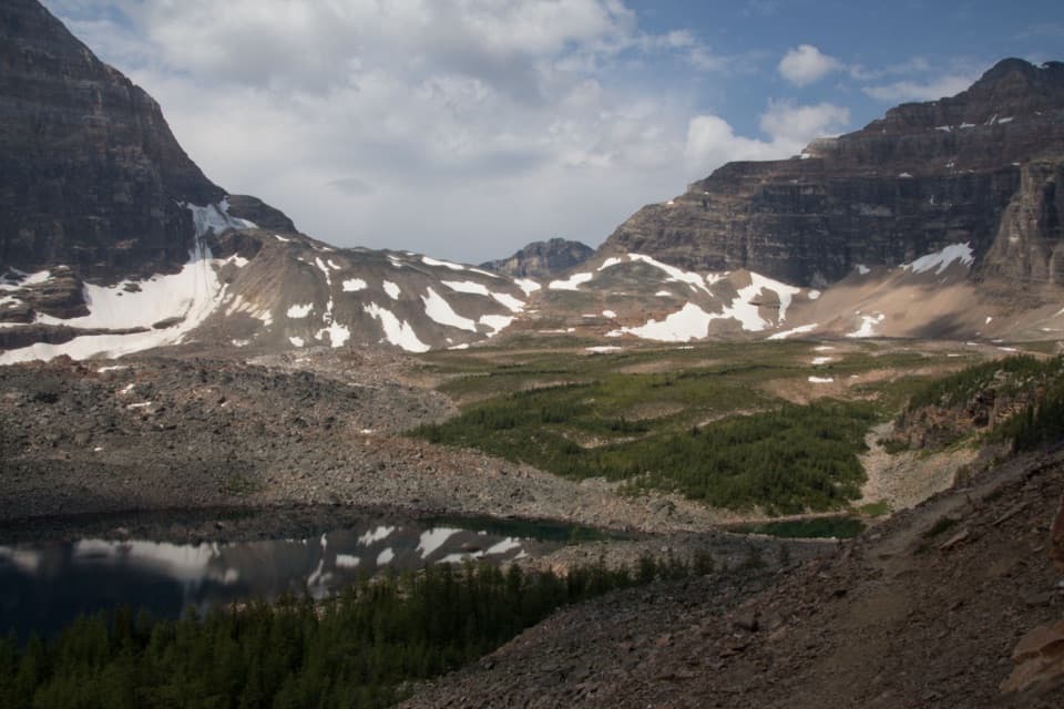
#17 of 162 trails in Banff
Banff National Park, AB
An all-day climb to the pass beyond Eiffel Lake.
Overview
Map & elevation
Plan your hike

The highest, rockiest slopes around here are a summer buffet for grizzly bears.
Banff Tour Guide
Parkwolf is a GPS audio tour guide for Banff National Park. As you drive, it chimes in with what’s ahead: hidden gems, upcoming stops, history, geology, and wildlife, right through your car’s speakers.
See the Banff audio tourRecorded for this trailhead
Moraine Lake Shuttles at the Park and Ride“You're approaching Lake Louise Park and Ride by the ski resort, the boarding point for Parks Canada's seasonal Moraine Lake shuttles.”
Plays as you drive up to this trailhead in the Parkwolf Banff Tour Guide.
More stories near here in the app
“…Loved the commentary as you drove thru. I’m sure the app can do more than I know but the tips were very helpful. I’m gonna use it when we go to Banff next month.”


Trail guide
Wenkchemna Pass Trail is a 19.2 km (11.9 mi) round-trip out-and-back from Moraine Lake, climbing through the Valley of the Ten Peaks to a high alpine pass on the Continental Divide. It measures 9.6 km one way, and the round trip takes about 7.5 to 8 hours. It gains roughly 1,010 m and loses 265 m on the way out, so you climb that lost ground again on the return: about 1,275 m of total ascent. This is a hard, full-day hike, not just a longer lake walk.
If the whole day feels like too much, make Eiffel Lake your turnaround. It is 5.7 km one way, with about 560 m of climbing and an estimated 4.5 hours round trip. You still get the open Ten Peaks views and the lake basin, without the rough upper valley and final climb. Decide before you set out; the extra stretch to Wenkchemna Pass adds a lot of time and effort.
The trail climbs through forest on uneven ground, with roots and rocks underfoot. At the junction, follow the Eiffel Lake route rather than continuing toward Sentinel Pass or Larch Valley. Above the trees, the terrain opens onto pale rock and the first broad look at the Ten Peaks. The path across to Eiffel Lake is gentler than the climb behind you, so take a proper break before moving on.
Eiffel Lake is a landmark on the way, not the end of this hike. Beyond it the route follows the right side of the valley, crossing open meadows and boulder fields with small, stunted larches. A snow-fed stream and a smaller lake sit below the trail. The ground gets rougher and more exposed as the pass draws closer; there is no water service along the route.
Near the end, tight switchbacks climb loose scree and larger rocks below Wenkchemna Peak. Cairns mark the way, but the line can blend into the boulders, especially when snow covers the ground. Keep the route on hand and be ready to turn around if the marked path is hard to follow. This is the part that makes the hike feel like a genuine high-country outing rather than a long approach to a lake.
The top opens onto a broad rocky plateau on the Alberta-British Columbia boundary. Look back for the full length of the Valley of the Ten Peaks, including Eiffel Tower, Mount Temple and Deltaform's glacier; then turn the other way for Yoho's Tokumm Creek valley. Those are two different views from the same pass, so leave time to look around before starting the long walk back.
Moraine Lake Road is closed to personal vehicles year-round. Arrange access with an authorized shuttle or licensed operator, and check the current schedule before traveling. Moraine Lake is a backcountry site with pit toilets but no running water, cell service, Wi-Fi or lighting; arrive self-sufficient. Dogs are allowed on trails in summer unless a specific restriction is posted, and must stay leashed and under control. Avoid high-elevation trails from November through June because of avalanche risk.
Wildlife
 123 sightingsGrizzly BearMost seen around 6 AMSighting map
 150 sightingsBrown BearMost seen around 6 PMSighting map
 44 sightingsGray WolfMost seen around 6 AMSighting map
 12 sightingsRiver OtterMost seen around 8 PMSighting map
 69 sightingsMooseMost seen around 8 PMSighting map
 466 sightingsBlack BearMost seen around 9 PMSighting map
Sighting maps show where each species has been reported across Banff. Wildlife moves, so no sighting is guaranteed.
Keep exploring
 ChallengingSentinel Pass via Larch Valley Trail11.2 km · 5 hr · At the trailheadGolden larches, steep switchbacks, and a high pass between two valleys.
 ModerateLarch Valley / Minnestimma Lakes Trail9 km · 3.8 hr · At the trailheadClimb through larches to Minnestimma Lakes below Sentinel Pass.
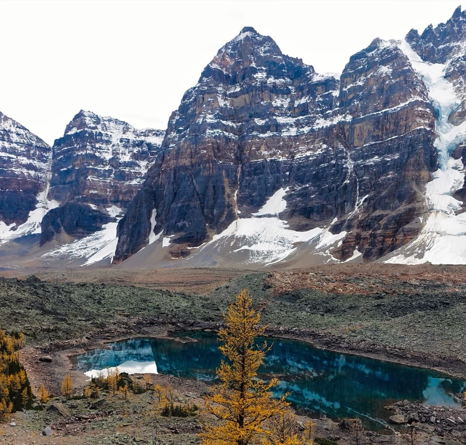 ModerateEiffel Lake Trail11.3 km · 5 hr · At the trailheadA steady climb ends at a quiet lake under the Ten Peaks.
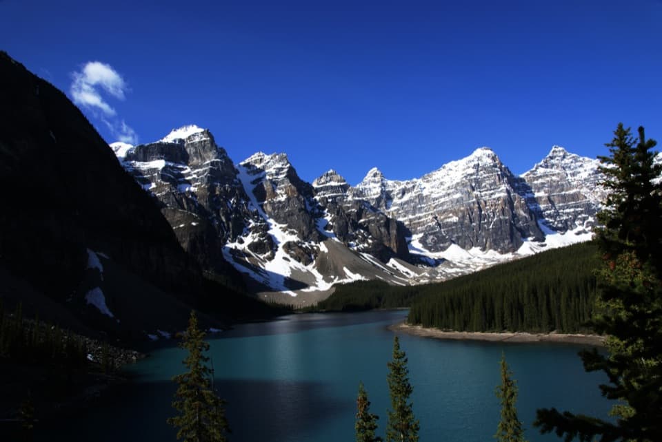 EasyRockpile Loop0.7 km · 30 min · 0.1 km awayA short climb for Moraine Lake’s classic Ten Peaks view
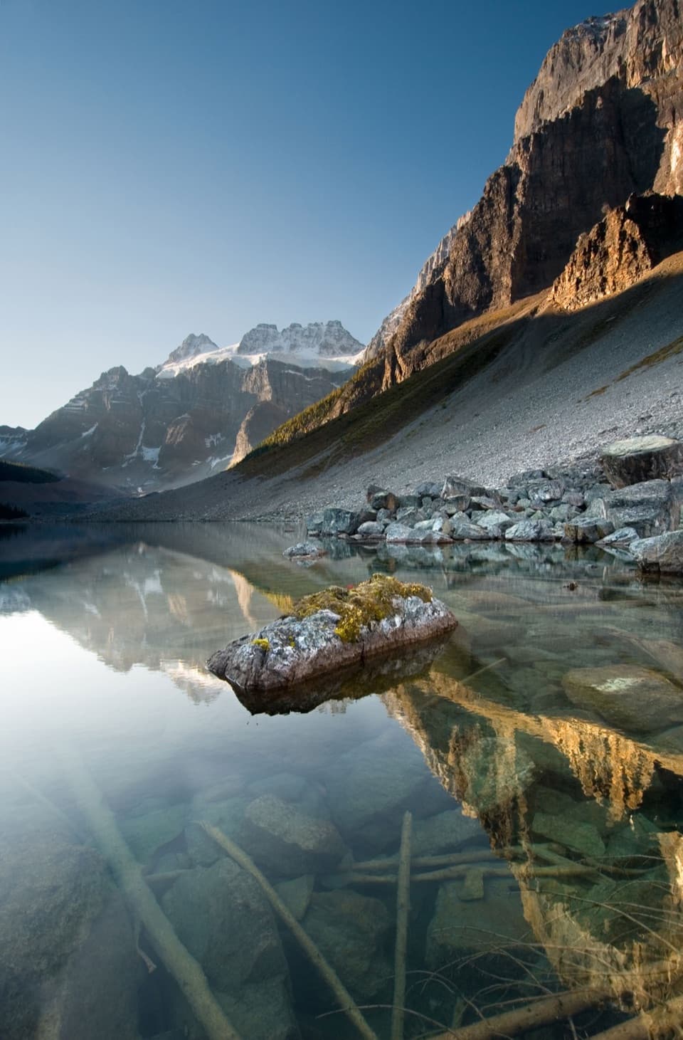 EasyConsolation Lakes Trail5.8 km · 2 hr · 0.1 km awayFrom talus and forest to a meadow beneath Quadra Glacier.
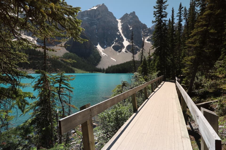 EasyMoraine Lake Lakeshore Trail2.6 km · 45 min · 0.2 km awayAn easy shore walk beneath Mount Fay and the Fay Glacier.
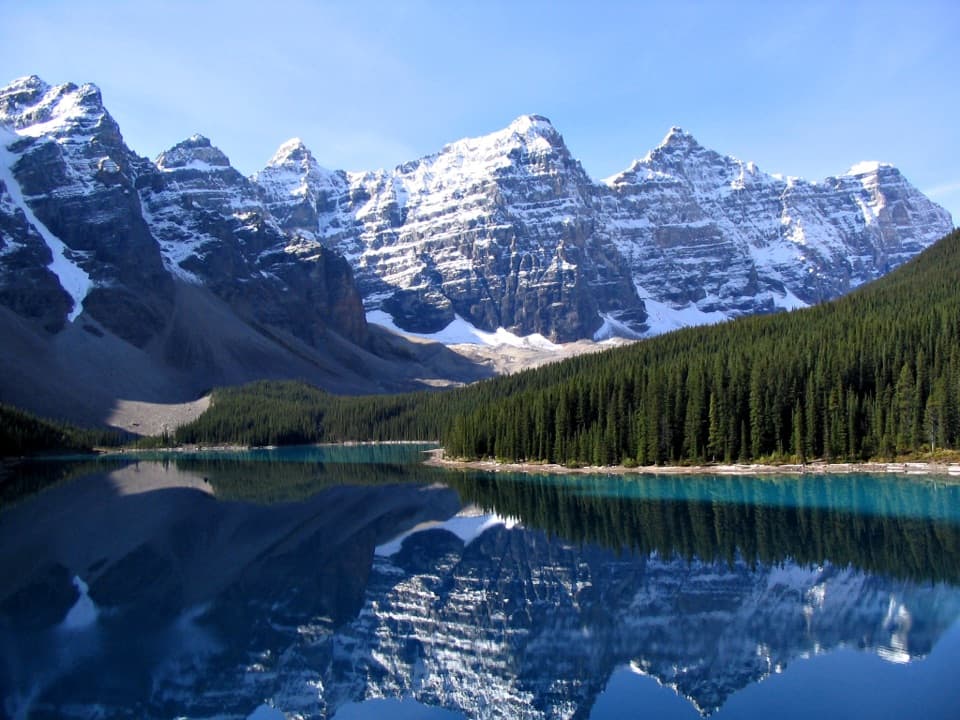 ChallengingMoraine Lake Highline Trail9.3 km · 4 hr · 7 km awayA rugged one-way traverse to Moraine Lake below Mount Temple.
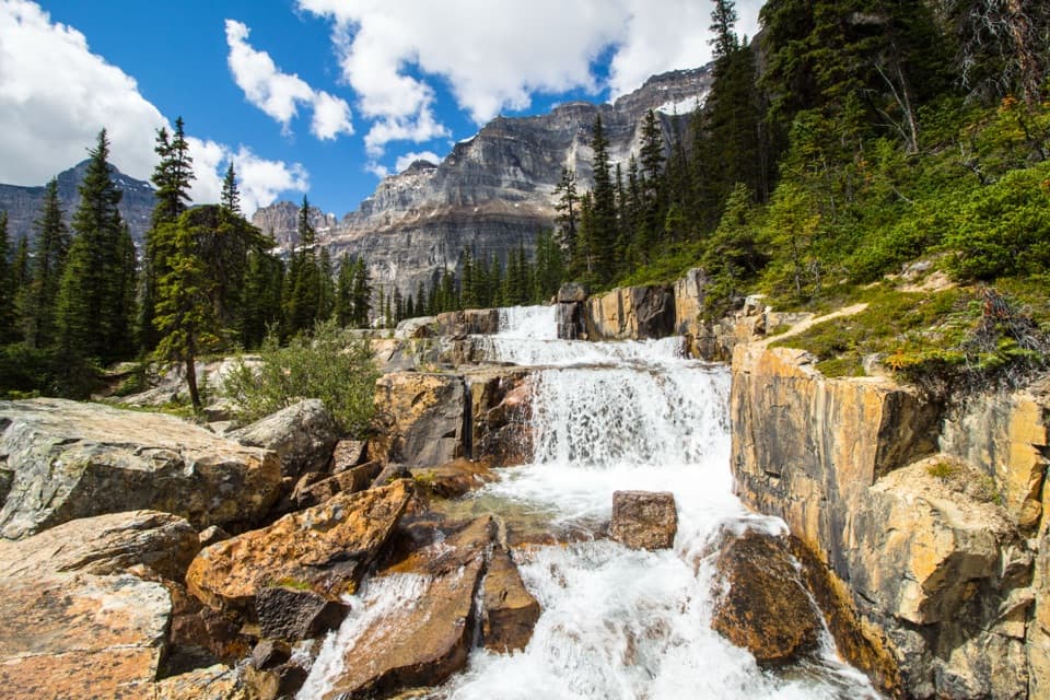 ChallengingParadise Valley and Giant Steps Trail19.6 km · 7.5 hr · 7.6 km awayA full-day valley hike to Lake Annette and Giant Steps waterfall.
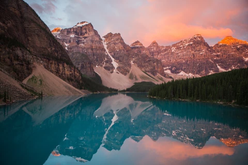 Sight · 0.8 km awayMoraine LakeBlue-green water beneath the Ten Peaks, best seen from the Rockpile
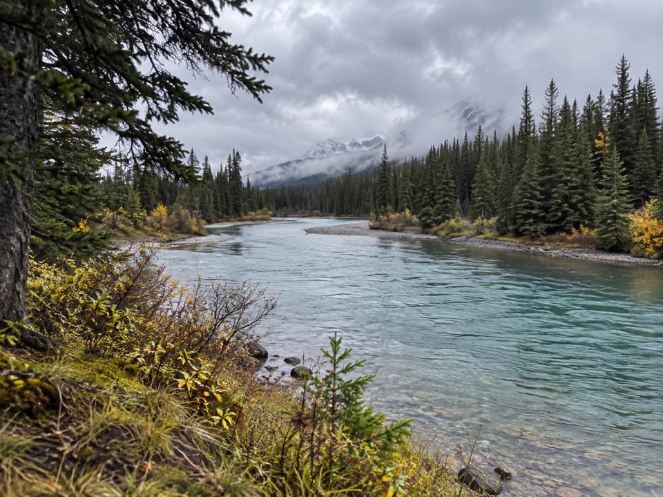 Picnic area · 7.1 km awayTemple ViewpointTake a picnic break where the Bow River bends through Banff.
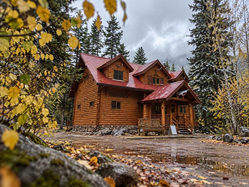 Lodging · 8.1 km awayBaker Creek by BasecampCreekside cabin stays come with firepits and a grab-and-go café.
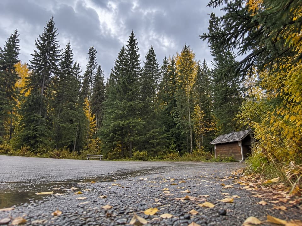 Picnic area · 8.4 km awayBaker Creek Picnic AreaA shaded creekside pause for lunch and a short leg-stretch.
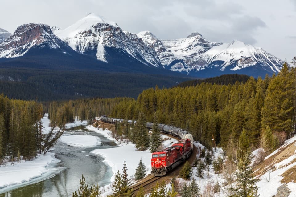 Sight · 8.8 km awayMorant’s CurveA river, railway curve and high peaks in one frame.
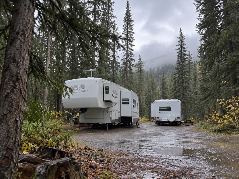 Campground · 9.2 km awayLake Louise Hard-sided CampgroundRV base with electric sites near Lake Louise; trains run nearby.
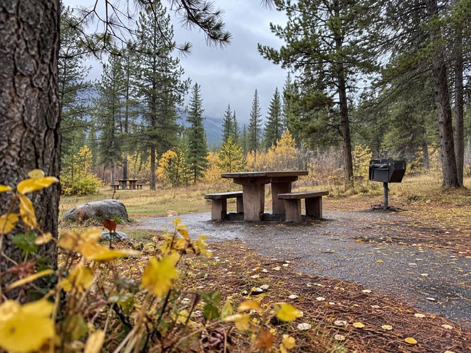 Picnic area · 9.3 km awayCorral Creek Picnic AreaTables and outhouses make a useful Bow Valley Parkway pause.
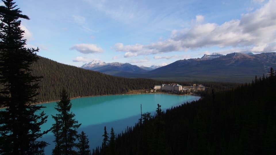 Sight · 9.5 km awayFairview LookoutA steep climb pays off with Lake Louise and the Chateau
Parkwolf’s Banff ranking

The audio tour guide for the drive, plus offline maps, trails, and wildlife heatmaps for when the signal drops.



