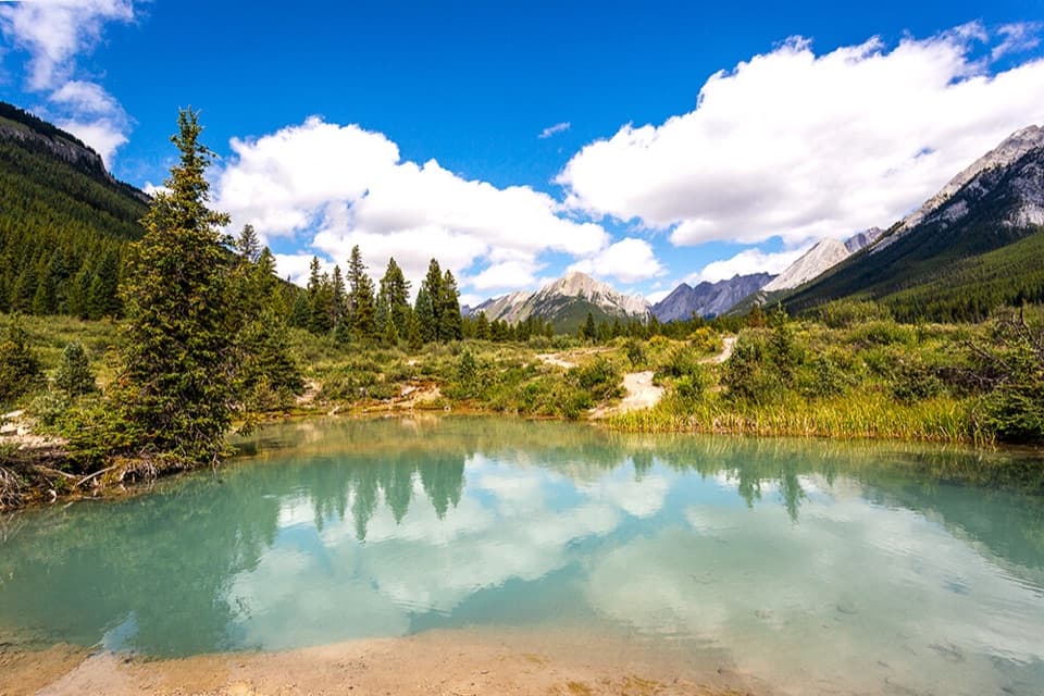
Parking
Flint’s Park backcountry campground is the start; there is no road-access parking. Reaching the campground takes a multi-day backcountry approach. Arrange the appropriate overnight reservations and permits before setting out.
Banff National Park, AB
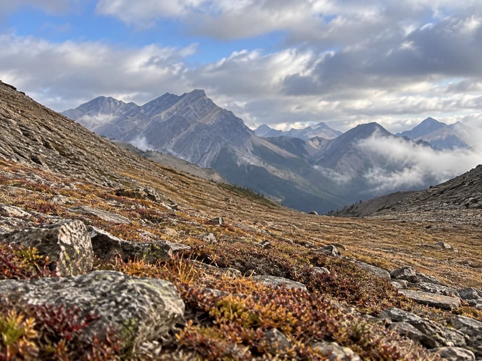
Look into the upper Panther River from a remote pass
Overview
Map & elevation
Plan your hike

The highest, rockiest slopes around here are a summer buffet for grizzly bears.
Banff Tour Guide
Parkwolf is a GPS audio tour guide for Banff National Park. As you drive, it chimes in with what’s ahead: hidden gems, upcoming stops, history, geology, and wildlife, right through your car’s speakers.
See the Banff audio tour“…Loved the commentary as you drove thru. I’m sure the app can do more than I know but the tips were very helpful. I’m gonna use it when we go to Banff next month.”


Trail guide
North Fork Pass is a remote out-and-back from Flint’s Park backcountry campground to a 2,425 m (7,956 ft) pass: about 11.9 mi (19.2 km) round trip, with roughly 2,000 ft (610 m) of climbing. Allow most of a day, around 8–9 hours for the hike. That distance starts at the campground; reaching Flint’s Park takes a separate multi-day backcountry approach, so this is not a roadside day hike.
The route heads north along the creek toward the pass. It’s a lightly used backcountry tread, and reports describe it as mostly followable. The mapped line is approximate for about 1.1 km, where two older path traces diverge; carry a detailed topo map and GPS, and treat the app line as a corridor rather than turn-by-turn navigation. This out-and-back turns around at the pass; it doesn’t continue the multi-day route into Panther Valley.
Expect three fords; hikers have reported trouble keeping boots dry. Water levels are usually highest in June and July, when crossings can be more demanding. High passes may remain snowbound into late June, and snow can return at elevation in summer.
At North Fork Pass, the view drops into the upper Panther River valley. The rocky saddle makes a useful foreground for a photo looking north into the layered peaks and valley; stay back from the steep edge.
Flint’s Park is a backcountry campground, not a road-access trailhead. Reaching it takes a multi-day hike, so plan the approach and check the required backcountry campground reservations and permits separately. Dogs are allowed on Banff trails under the usual rules; keep them leashed and check for any trail-specific restriction before you go.
Wildlife
 123 sightingsGrizzly BearMost seen around 6 AMSighting map
 150 sightingsBrown BearMost seen around 6 PMSighting map
 44 sightingsGray WolfMost seen around 6 AMSighting map
 12 sightingsRiver OtterMost seen around 8 PMSighting map
 69 sightingsMooseMost seen around 8 PMSighting map
 466 sightingsBlack BearMost seen around 9 PMSighting map
Sighting maps show where each species has been reported across Banff. Wildlife moves, so no sighting is guaranteed.
Keep exploring
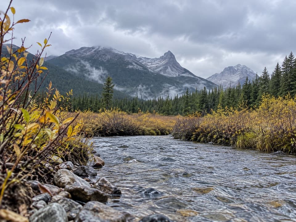 ModerateSawback Lake to Block Lakes Junction Trail11.9 km · 3.5 hr · 5.4 km awayA remote camp-to-camp walk with a creek crossing and valley views.
 ModerateBadger Pass Trail9.8 km · 4.5 hr · 12.3 km awayA steep backcountry spur to a high alpine pass.
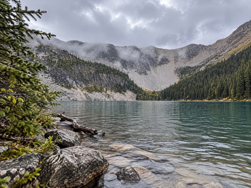 ModerateMystic Lake Trail7.2 km · 3 hr · 12.6 km awayA remote camp side trip to an alpine lake beneath the cirque.
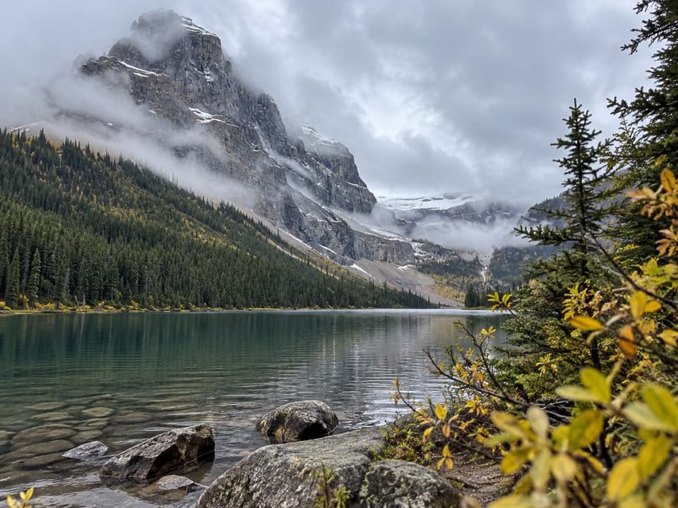 ChallengingLuellen Lake Trail34.2 km · 12 hr · 17.8 km awayA long forest and meadow walk ends at a lake beneath cliffs.
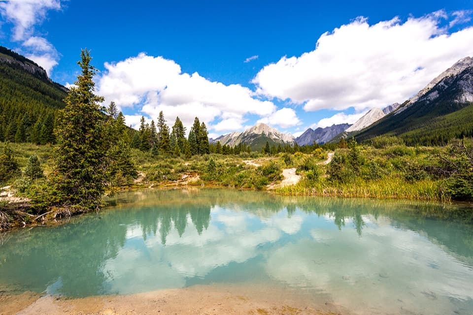 ModerateInk Pots Trail11.4 km · 4.5 hr · 17.8 km awayBlue-green pools in an open meadow after a long forest climb.
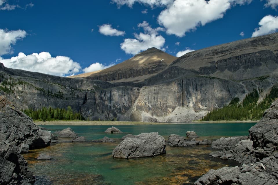 ChallengingRockbound Lake Trail17 km · 6.5 hr · 18.4 km awayTwo lakes and Castle Mountain cliffs reward a long alpine climb.
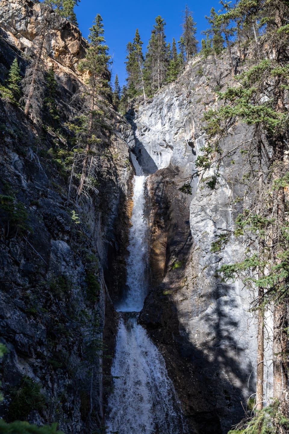 ModerateSilverton Falls Trail1.8 km · 40 min · 18.5 km awayA quick climb to a waterfall tucked into a narrow rock gorge.
 EasyJohnston Canyon Trail to Upper Falls4.8 km · 2 hr · 18.5 km awayA 4.8 km canyon walk to the 30 m Upper Falls.
Parkwolf’s Banff ranking

The audio tour guide for the drive, plus offline maps, trails, and wildlife heatmaps for when the signal drops.