Parking
There is no drive-up trailhead at either end. Reach Sawback Lake Camp Fm29 on foot as part of your permitted backcountry itinerary; continue on foot to Block Lakes Junction Camp Cr37 and plan the next leg or exit in advance.
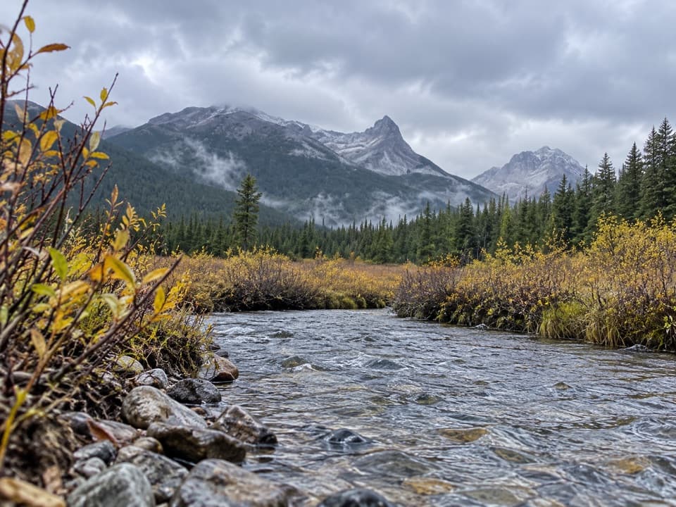
Banff National Park, AB
A remote camp-to-camp walk with a creek crossing and valley views.
Overview
Map & elevation
Plan your hike

The highest, rockiest slopes around here are a summer buffet for grizzly bears.
Banff Tour Guide
Parkwolf is a GPS audio tour guide for Banff National Park. As you drive, it chimes in with what’s ahead: hidden gems, upcoming stops, history, geology, and wildlife, right through your car’s speakers.
See the Banff audio tour“…Loved the commentary as you drove thru. I’m sure the app can do more than I know but the tips were very helpful. I’m gonna use it when we go to Banff next month.”


Trail guide
This is a one-way, 7.4-mile (11.8 km) backcountry leg from Sawback Lake Camp Fm29 to Block Lakes Junction Camp Cr37. It links two designated camps and forms one day of a longer multi-day itinerary; it is not a loop or a road-access day hike. Plan roughly 3½ to 4 hours for the walk, allowing time for the creek crossing and stops.
The route heads north through willows along the Sawback Creek corridor, then turns west toward Block Lakes Junction. Near the meeting of Cascade River and Sawback Creek, the trees open onto a broad valley. A Warden cabin sits below Flint’s Peak, with views toward Noetic Peak and Block Mountain. Expect a creek crossing; morning dew can leave the willow-lined approach wet.
Both ends are reached on foot, with no road exit at either camp. Plan this as part of a permitted backcountry itinerary and reserve the designated overnight camps. The main hiking season is May through October; higher trails can stay snowbound into late June, and stream flows are highest in June and July. Check current trail conditions and restrictions before setting out.
Water-based recreation in Sawback Lake and Sawback Creek is prohibited. Wading is allowed only when necessary to cross a stream and remain on an official trail. Dogs may accompany summer hikers where no specific restriction is posted, and must stay leashed and under control.
Wildlife
 123 sightingsGrizzly BearMost seen around 6 AMSighting map
 150 sightingsBrown BearMost seen around 6 PMSighting map
 44 sightingsGray WolfMost seen around 6 AMSighting map
 12 sightingsRiver OtterMost seen around 8 PMSighting map
 69 sightingsMooseMost seen around 8 PMSighting map
 466 sightingsBlack BearMost seen around 9 PMSighting map
Sighting maps show where each species has been reported across Banff. Wildlife moves, so no sighting is guaranteed.
Keep exploring
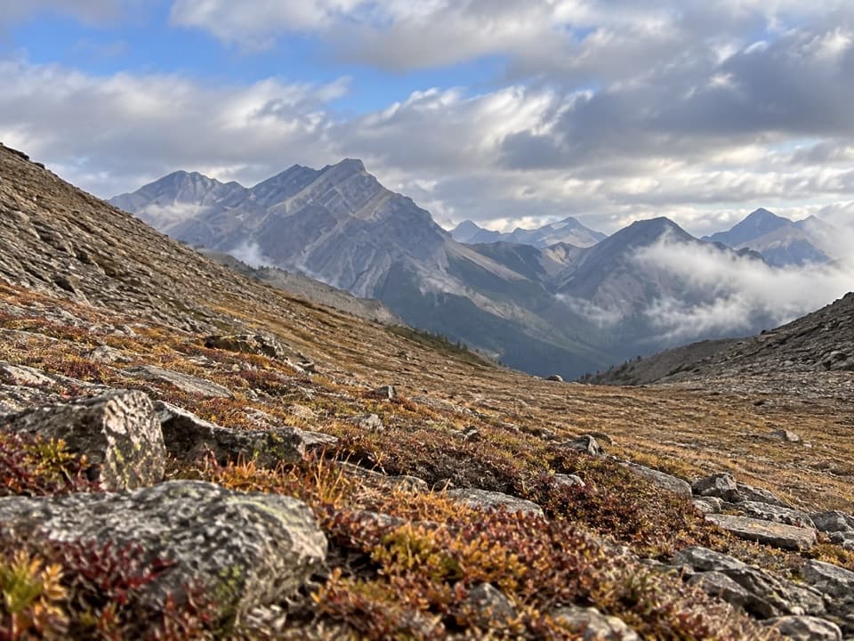 ChallengingNorth Fork Pass Trail19.2 km · 9 hr · 5.4 km awayLook into the upper Panther River from a remote pass
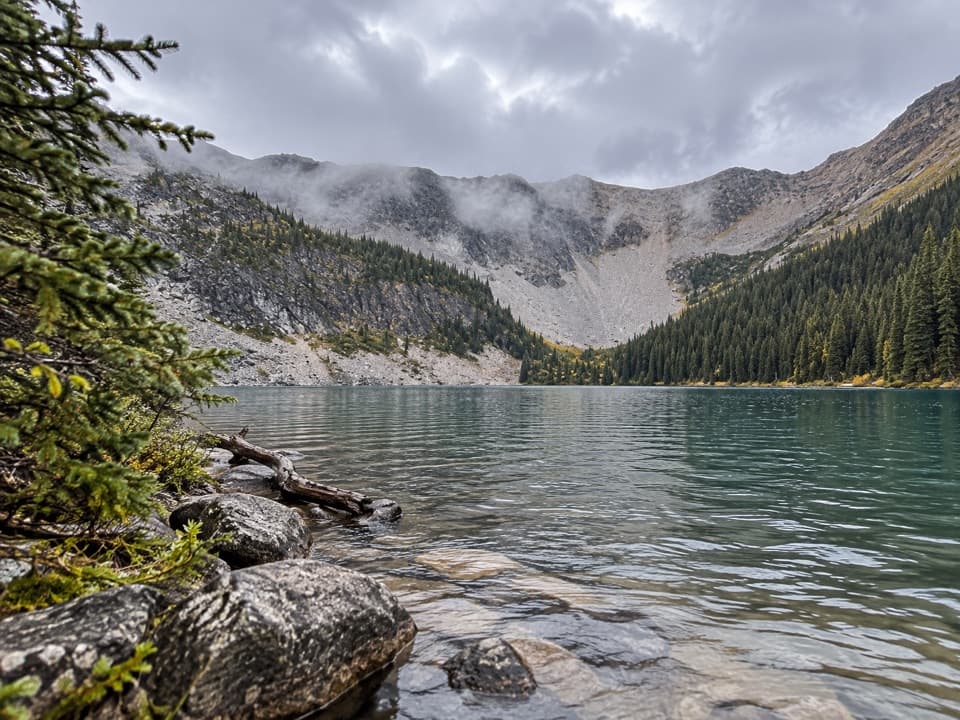 ModerateMystic Lake Trail7.2 km · 3 hr · 7.3 km awayA remote camp side trip to an alpine lake beneath the cirque.
 ModerateBadger Pass Trail9.8 km · 4.5 hr · 13.2 km awayA steep backcountry spur to a high alpine pass.
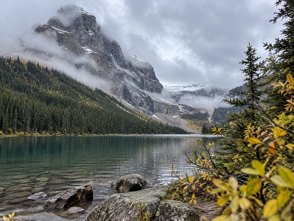 ChallengingLuellen Lake Trail34.2 km · 12 hr · 13.4 km awayA long forest and meadow walk ends at a lake beneath cliffs.
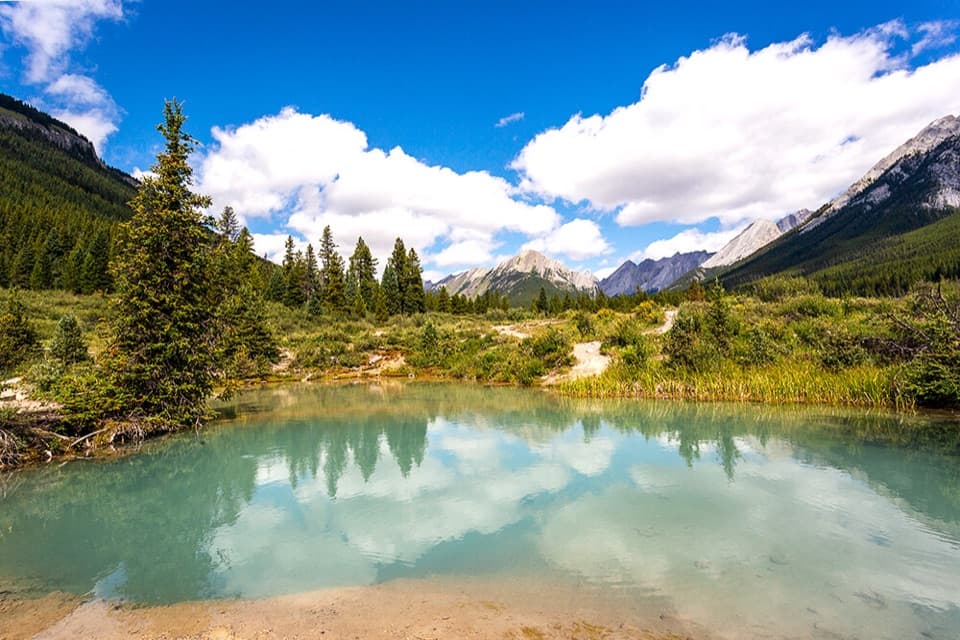 ModerateInk Pots Trail11.4 km · 4.5 hr · 13.4 km awayBlue-green pools in an open meadow after a long forest climb.
 EasyJohnston Canyon Trail to Upper Falls4.8 km · 2 hr · 13.9 km awayA 4.8 km canyon walk to the 30 m Upper Falls.
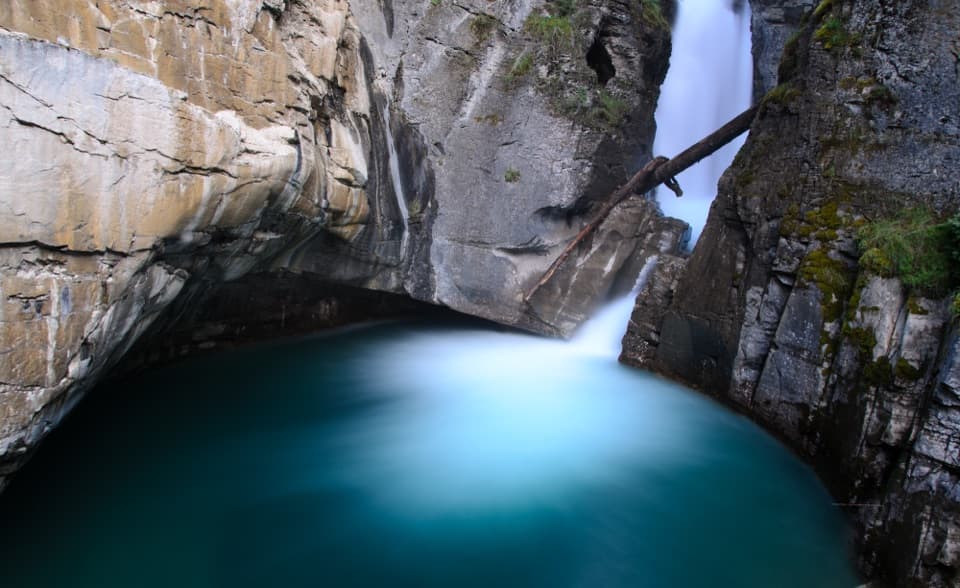 EasyJohnston Canyon Trail to Lower Falls2.2 km · 1 hr · 13.9 km awayPaved canyon catwalks lead to a close view of Lower Falls.
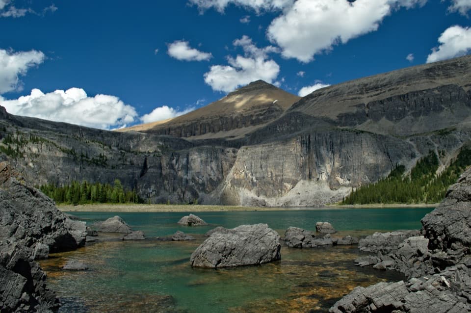 ChallengingRockbound Lake Trail17 km · 6.5 hr · 15 km awayTwo lakes and Castle Mountain cliffs reward a long alpine climb.
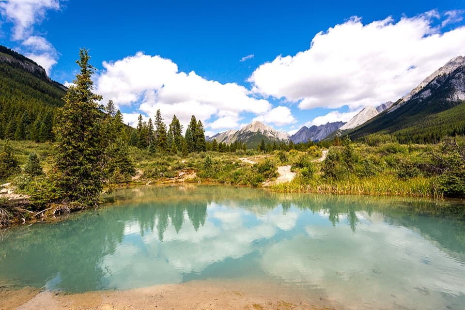 Sight · 10.1 km awayInk PotsCold blue-green springs reward the long walk beyond the waterfalls.
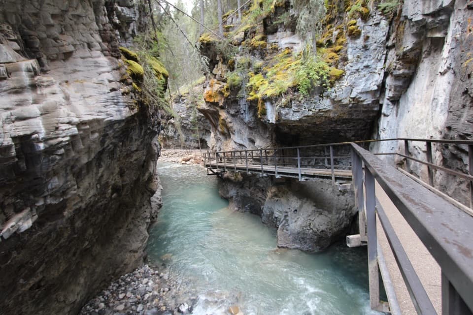 Sight · 13.9 km awayJohnston CanyonRailed catwalks lead to waterfalls in this steep, narrow canyon.
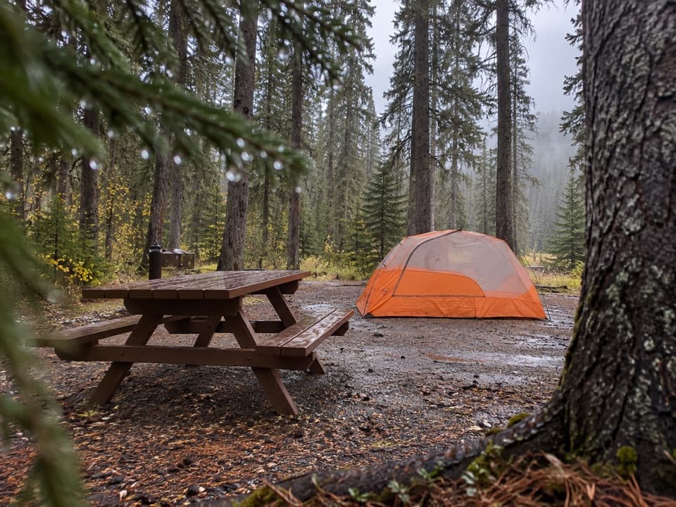 Campground · 14 km awayJohnston Canyon CampgroundCamp near Johnston Canyon, with train noise to consider.
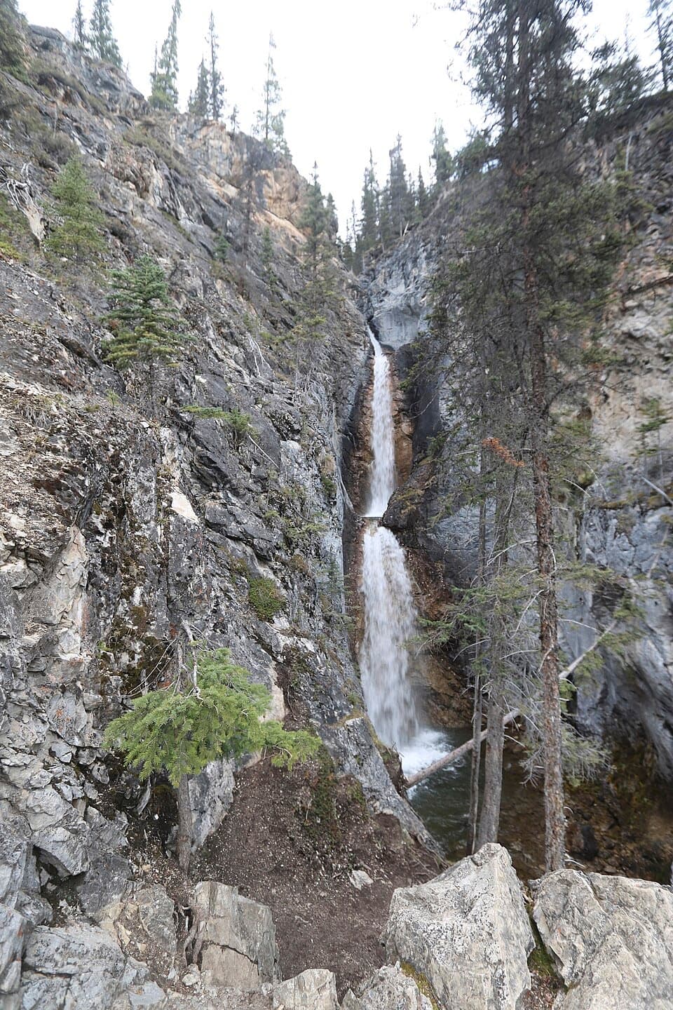 Sight · 14.3 km awaySilverton FallsShort waterfall spur with an exposed, rocky finish.
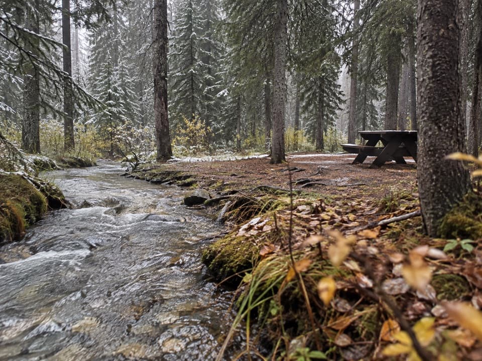 Campground · 14.8 km awayCastle Mountain CampgroundA wooded, no-service base along the Bow Valley Parkway.
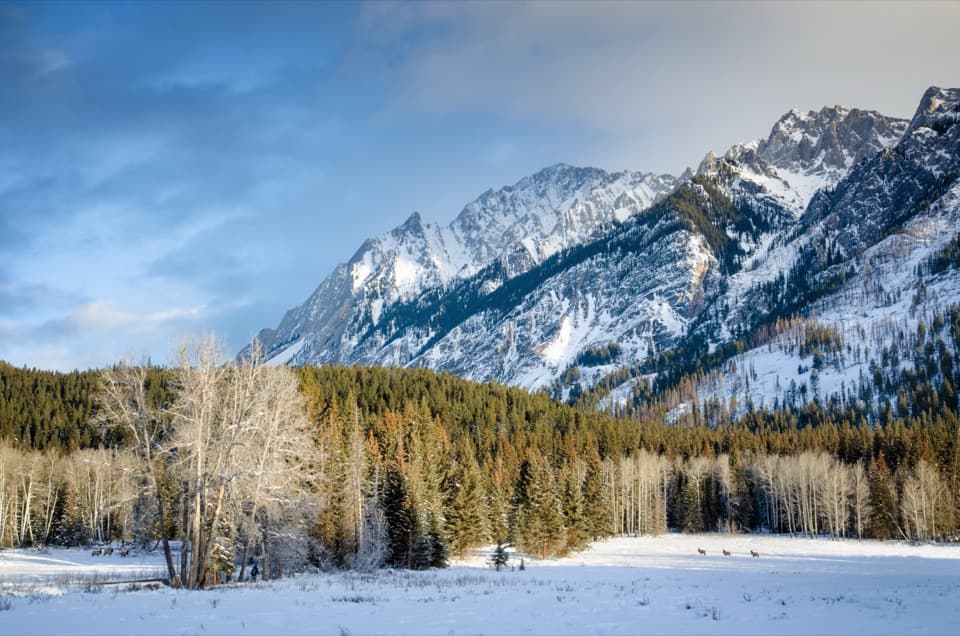 Scenic pullout · 15.2 km awayHillsdale MeadowA quick pullout for summer flowers and a Pilot Mountain view.
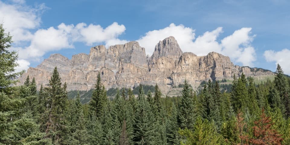 Sight · 15.3 km awayCastle Cliffs LookoutA short platform brings Castle Mountain's cliffs close.
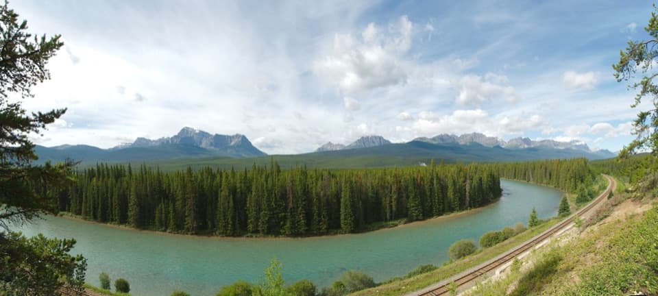 Sight · 15.7 km awayStorm Mountain LookoutA Bow River picnic break with a ridgeline to read.
Parkwolf’s Banff ranking

The audio tour guide for the drive, plus offline maps, trails, and wildlife heatmaps for when the signal drops.




