Parking
There is no road-access trailhead or parking lot. Begin at Mystic Junction Campground (Fm19), reached by a separately planned backcountry route; secure the campsite permit and reservation before setting out.
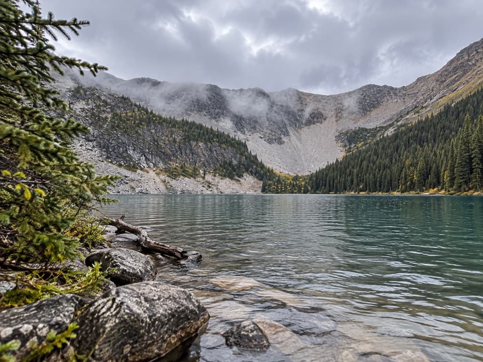
Banff National Park, AB
A remote camp side trip to an alpine lake beneath the cirque.
Overview
Map & elevation
Plan your hike

The highest, rockiest slopes around here are a summer buffet for grizzly bears.
Banff Tour Guide
Parkwolf is a GPS audio tour guide for Banff National Park. As you drive, it chimes in with what’s ahead: hidden gems, upcoming stops, history, geology, and wildlife, right through your car’s speakers.
See the Banff audio tourMore stories near here in the app
“…Loved the commentary as you drove thru. I’m sure the app can do more than I know but the tips were very helpful. I’m gonna use it when we go to Banff next month.”


Trail guide
Mystic Lake Trail is a 4.5-mile out-and-back from Mystic Junction Camp (Fm19) to the lake and back. That figure covers the camp-to-lake spur only; reaching Fm19 is a separate backcountry approach. Allow about three hours for the route itself. This is a rewarding add-on if you have a booked campsite in the area, not a day walk from Banff.
The route leaves camp on established backcountry footpaths, winds through forested country and ends at the lake shore below a rocky cirque. The mapped corridor is about 3.6 km one way and rises roughly 140 m overall, with smaller ups and downs along the way. It is shared backcountry terrain, so yield to horses and allow extra time for route finding. Turn around at the shore; this row does not include the long approaches to the camp or a circuit around the lake.
The lake and its outflow to Forty Mile Creek are protected habitat for threatened Westslope Cutthroat Trout. Fishing, boating, swimming and other recreational water activities are prohibited. Wading across a stream is permitted only when needed to stay on an official trail where no bridge exists. The rocky shore and cirque make the lake the clear payoff; stay on land and use the near-shore rocks to frame the view.
Fm19 is a backcountry campground, not a road-access trailhead. Plan and reserve the overnight itinerary that gets you there before adding this excursion; overnight backcountry camping requires a permit. There is no food service or water refill at the lake, and surface water must be treated before drinking. Banff's main backcountry season is May through October; higher trails can remain snowbound into late June, with the highest stream flows in June and July. Check current conditions before leaving camp. Keep dogs leashed and under control.
Wildlife
 123 sightingsGrizzly BearMost seen around 6 AMSighting map
 150 sightingsBrown BearMost seen around 6 PMSighting map
 44 sightingsGray WolfMost seen around 6 AMSighting map
 12 sightingsRiver OtterMost seen around 8 PMSighting map
 69 sightingsMooseMost seen around 8 PMSighting map
 466 sightingsBlack BearMost seen around 9 PMSighting map
Sighting maps show where each species has been reported across Banff. Wildlife moves, so no sighting is guaranteed.
Keep exploring
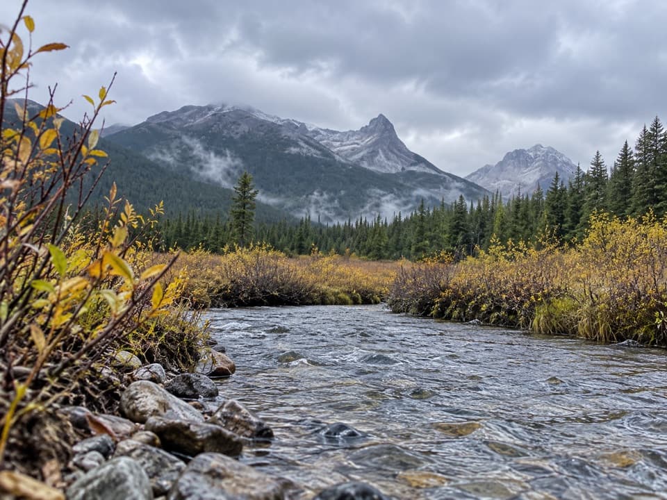 ModerateSawback Lake to Block Lakes Junction Trail11.9 km · 3.5 hr · 7.3 km awayA remote camp-to-camp walk with a creek crossing and valley views.
 EasyJohnston Canyon Trail to Upper Falls4.8 km · 2 hr · 10.4 km awayA 4.8 km canyon walk to the 30 m Upper Falls.
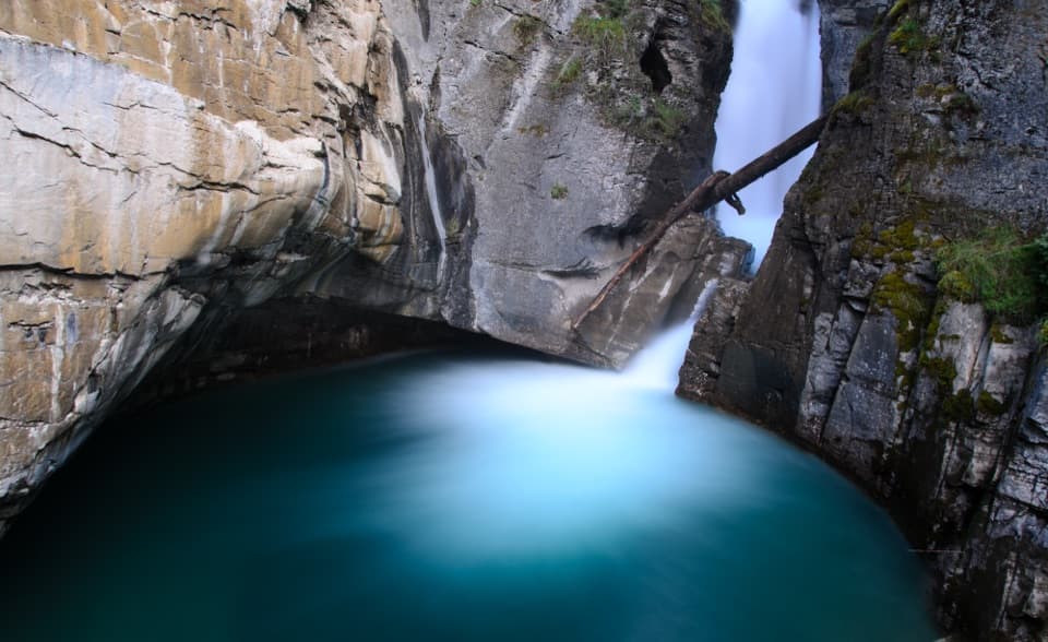 EasyJohnston Canyon Trail to Lower Falls2.2 km · 1 hr · 10.4 km awayPaved canyon catwalks lead to a close view of Lower Falls.
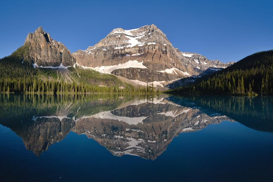 ChallengingShadow Lake Trail28 km · 9.5 hr · 10.6 km awayA long forest approach opens onto Shadow Lake and Mount Ball's reflection.
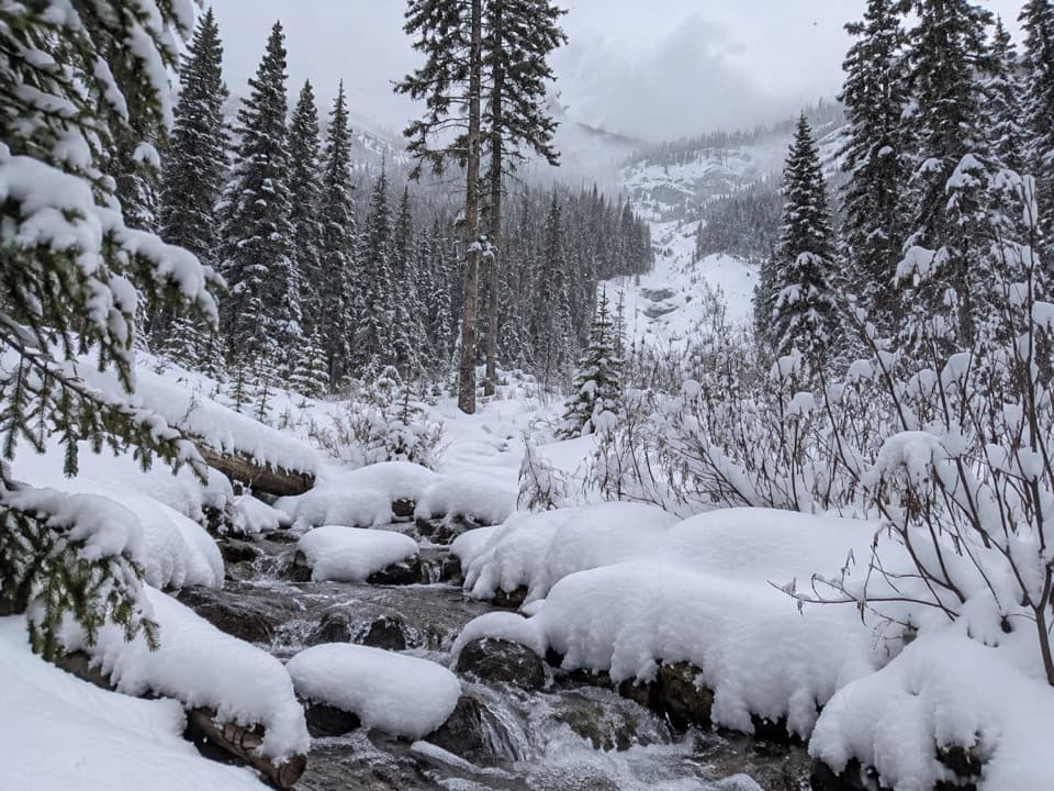 ModerateRedearth Creek Trail20.4 km · 7.5 hr · 10.6 km awayA long forest climb into the Shadow Lake backcountry.
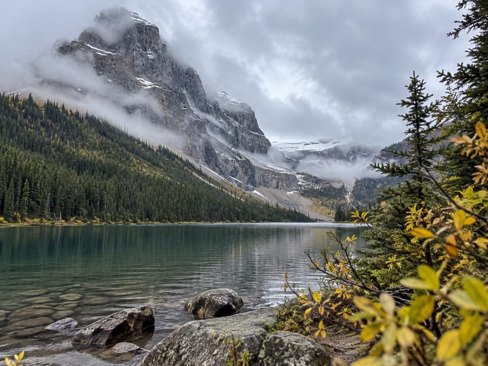 ChallengingLuellen Lake Trail34.2 km · 12 hr · 10.8 km awayA long forest and meadow walk ends at a lake beneath cliffs.
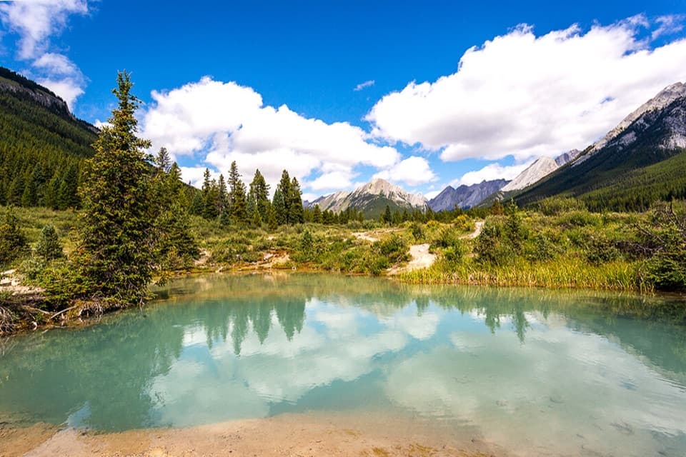 ModerateInk Pots Trail11.4 km · 4.5 hr · 10.9 km awayBlue-green pools in an open meadow after a long forest climb.
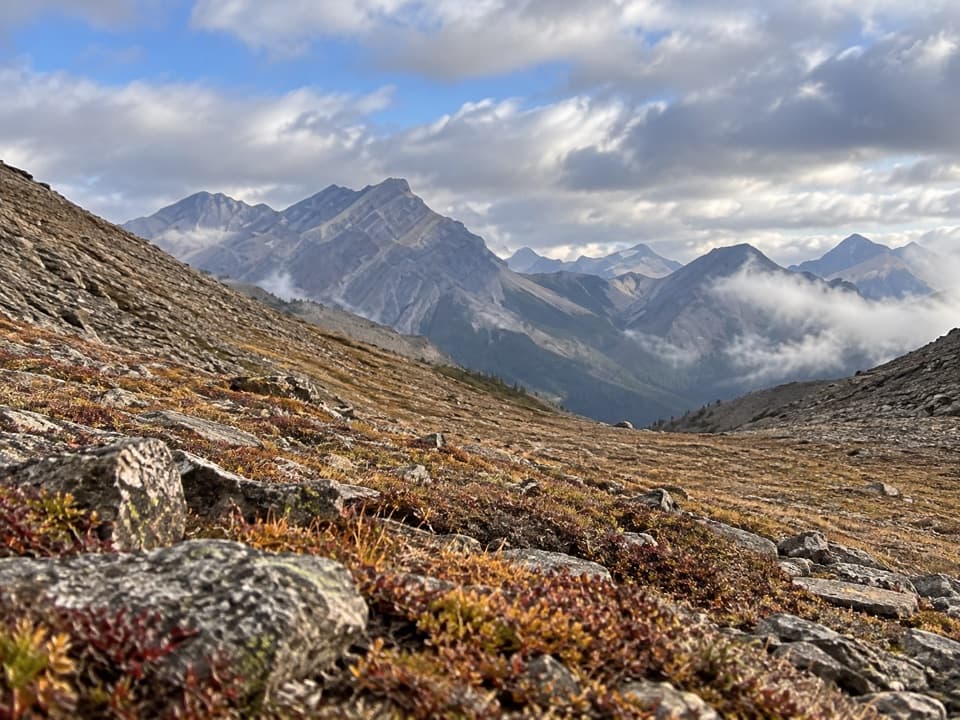 ChallengingNorth Fork Pass Trail19.2 km · 9 hr · 12.6 km awayLook into the upper Panther River from a remote pass
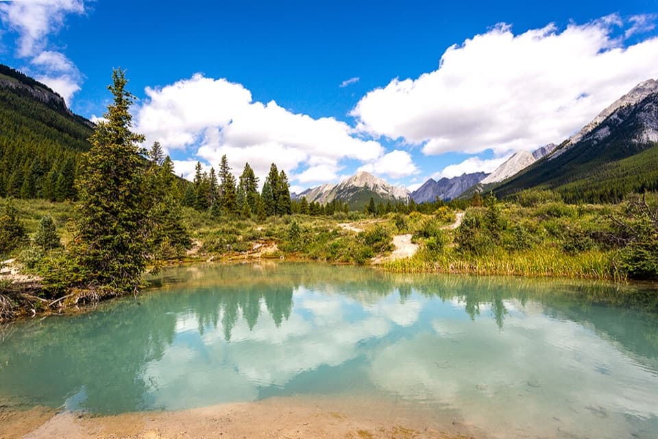 Sight · 7.8 km awayInk PotsCold blue-green springs reward the long walk beyond the waterfalls.
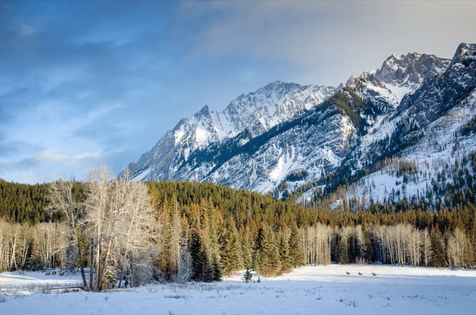 Scenic pullout · 9.6 km awayHillsdale MeadowA quick pullout for summer flowers and a Pilot Mountain view.
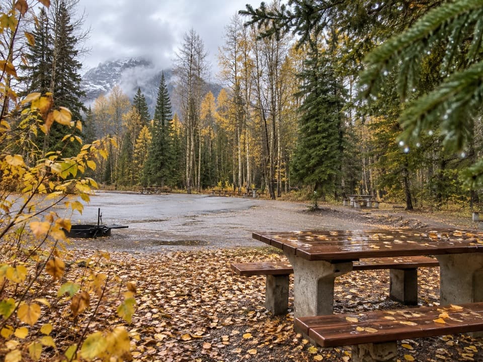 Picnic area · 9.7 km awaySawback Picnic AreaTables, outhouses and mountain views make a practical Parkway break.
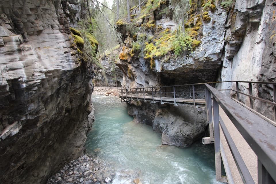 Sight · 10.5 km awayJohnston CanyonRailed catwalks lead to waterfalls in this steep, narrow canyon.
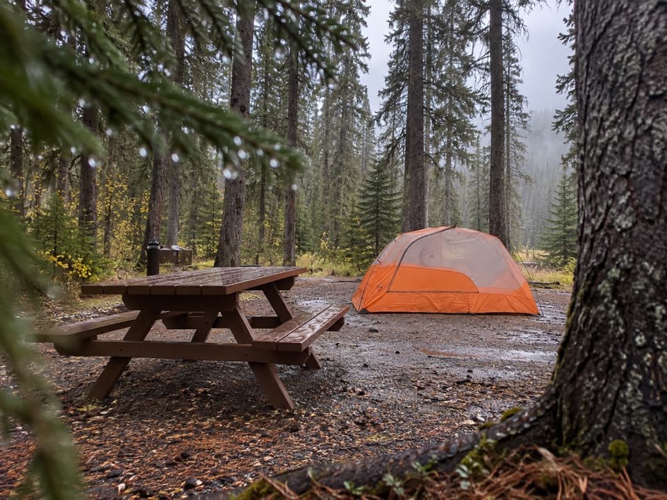 Campground · 10.6 km awayJohnston Canyon CampgroundCamp near Johnston Canyon, with train noise to consider.
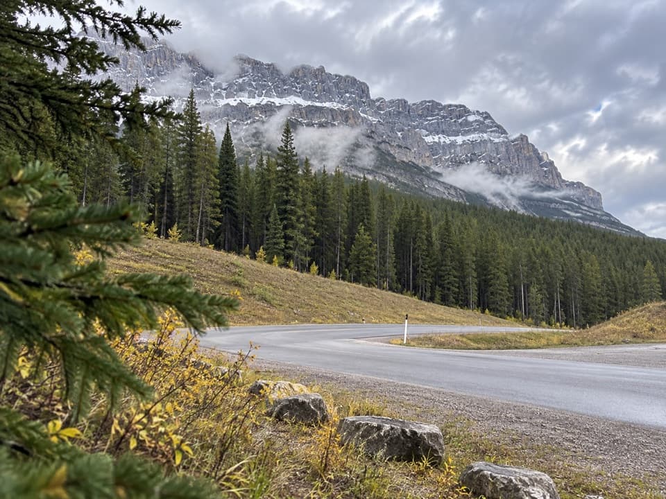 Picnic area · 13.2 km awayMuleshoe Picnic AreaPicnic tables, outhouses and a chance to watch for birds.
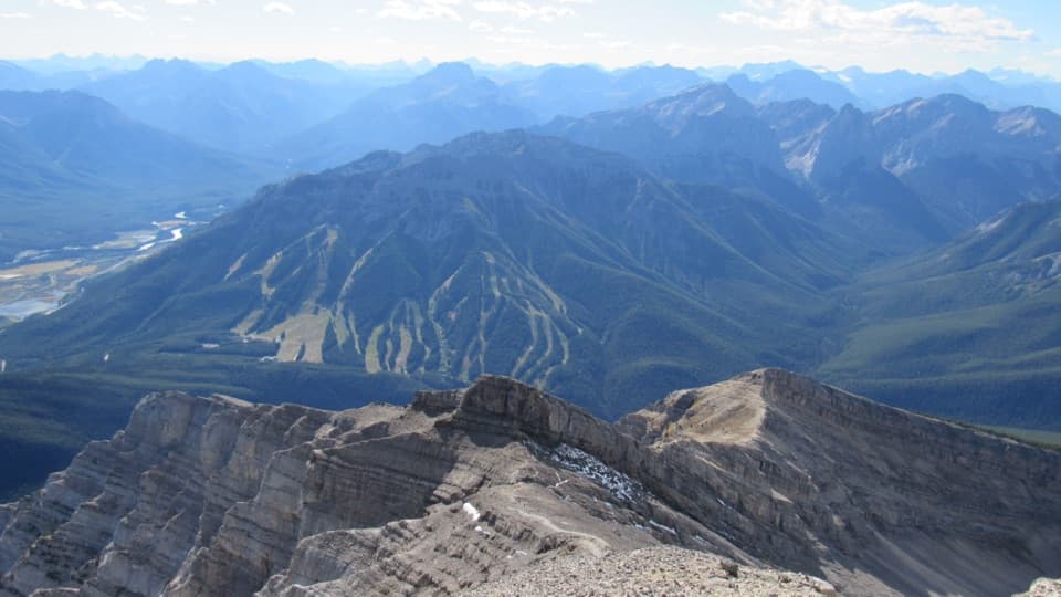 Sight · 13.4 km awayMt. NorquayAn open-air chairlift climbs to wide Bow Valley views.
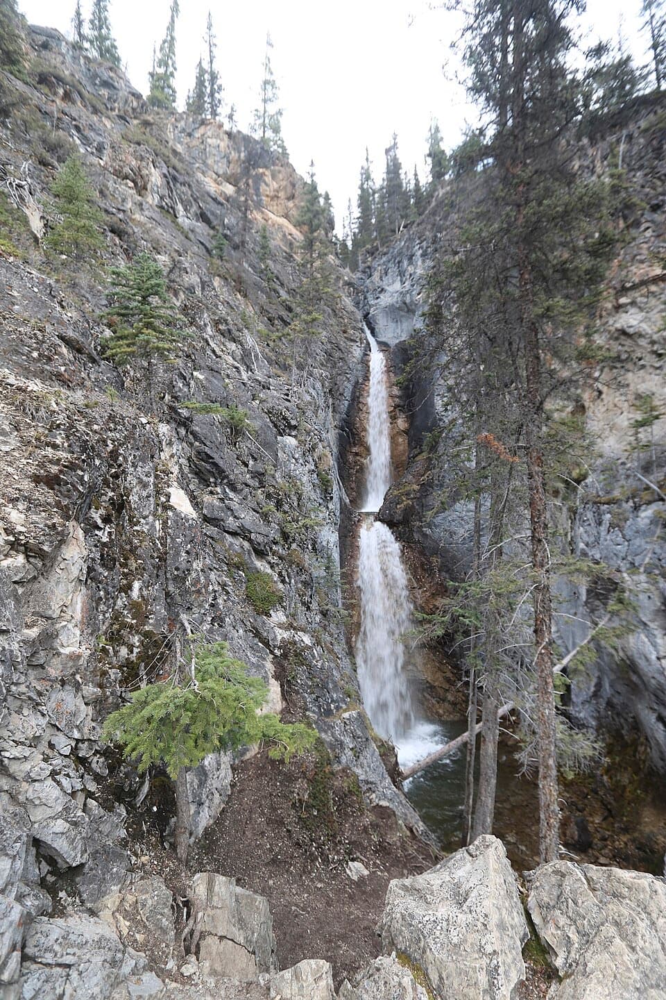 Sight · 13.7 km awaySilverton FallsShort waterfall spur with an exposed, rocky finish.
Parkwolf’s Banff ranking

The audio tour guide for the drive, plus offline maps, trails, and wildlife heatmaps for when the signal drops.




