Badger Pass Trail in Banff National Park

Banff National Park, AB

Badger Pass Trail

A steep backcountry spur to a high alpine pass.

Length
9.8km
Time
4.5hr
Elev. change
477m
Difficulty
Moderate
  • Dogs allowed
  • High point 2,557 m
Parkwolf audio tour185 stories across Banff’s roads

Overview

About Badger Pass Trail

Why go

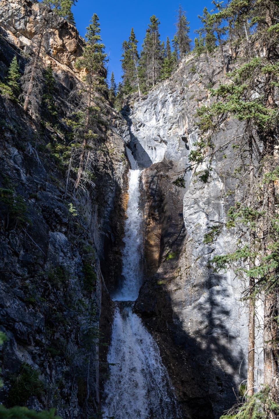
  • A stepped waterfall and cinquefoil meadows on the climb
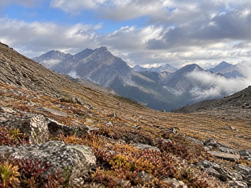
  • Open alpine views from Badger Pass toward Pulsatilla Mountain

Heads up

  • Remote access from the multi-day Sawback route
  • A steep ascent with several stream fords
Badger Pass Trail is a 6.1-mile (9.8-kilometre) out-and-back from the Sawback Trail to Badger Pass and back. The climb rises roughly 1,600 feet (about 500 metres) through forest and open alpine meadows. It is a worthwhile high-country detour if you are already on the multi-day Sawback route; it is not a road-accessed day hike. Allow about four to five hours for the climb, the crossings and time at the pass.
Parkwolf’s verdictIs this the side trip for you?

Map & elevation

The route

Loading the Banff map
Full map
Elevation2,080–2,557 m
TrailheadBadger Pass Trail turnoff on the Sawback Trail51.38342, -115.94076
Keep this map with you offline in the Parkwolf app

Plan your hike

Before you go

Parking

There is no road access or parking at this spur. Reach it from the Sawback backcountry route; Parks Canada lists Mount Norquay and Fish Creek near Lake Louise as its trailheads. The spur turns off about 0.5 km before Badger Pass Junction Campground.

Safety

Several stream fords require scouting. This is remote high-country travel, and the mapped route only approximates the final approach to the saddle. An overnight trip requires a backcountry permit. Keep dogs leashed and verify any trail-specific dog restrictions.

8 active Banff alerts

  • ClosureJohnston Canyon Trail and Day Use Area closedJohnston Canyon Trail and Day Use Area are closed to all traffic and travel through December 11, 2026, because construction work requires protecting public and workers’ safety.Official details
  • ClosureBaker Lake and Hidden Lake campgrounds closed to campingCamping is prohibited at Baker Lake and Hidden Lake campgrounds through December 1, 2026, because a grizzly bear entered campsites and investigated tents and gear; the closures reduce risk to…Official details
See all 8 alerts
A park ranger sits on a dash-mounted phone, talking, as Parkwolf’s Tour Guide plays “Army Cutworm Moths: A Grizzly Bear Buffet” on Grand Loop Road below Dunraven Pass in Yellowstone
Parkwolf Tour GuideThe highest, rockiest slopes around here are a summer buffet for grizzly bears.

Banff Tour Guide

Your drive to Badger Pass Trail, narrated.

Parkwolf is a GPS audio tour guide for Banff National Park. As you drive, it chimes in with what’s ahead: hidden gems, upcoming stops, history, geology, and wildlife, right through your car’s speakers.

See the Banff audio tour

More stories near here in the app

  • The Meadow Made by Snow
  • A Chickadee’s Cold Night
  • When Banff Turned Cars Away
  • 185 audio storiesacross Banff’s roads, triggered by GPS as you drive
  • Wildlife heatmapsfor Grizzly Bear, Brown Bear, Gray Wolf, and 13 more
  • Works offlinemaps, 162 trails, 90 places, and audio download before you lose signal
  • CarPlay readysimple controls built for the drive
★★★★★
“…Loved the commentary as you drove thru. I’m sure the app can do more than I know but the tips were very helpful. I’m gonna use it when we go to Banff next month.”
tesja22App Store review
Download Parkwolf on the App StoreGet Parkwolf on Google Play

4.7 from 8,600+ ratings

Trail guide

Hiking Badger Pass Trail

The climb and the viewThe trail steepens soon after the turnoff.

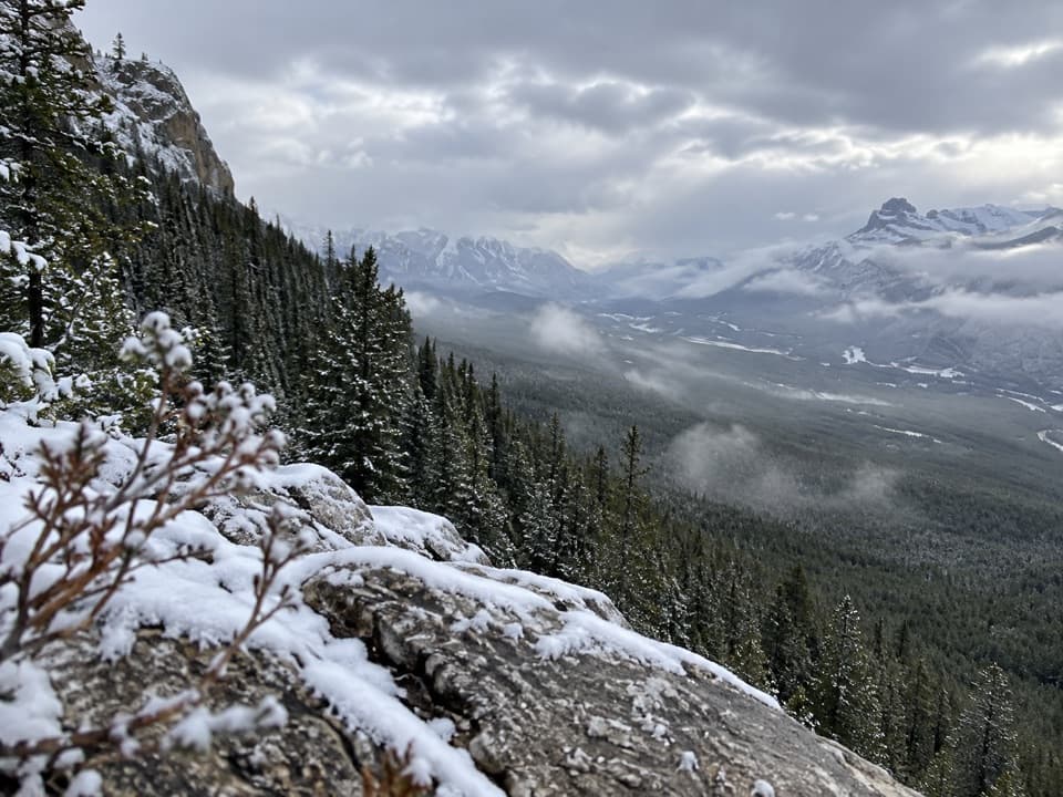
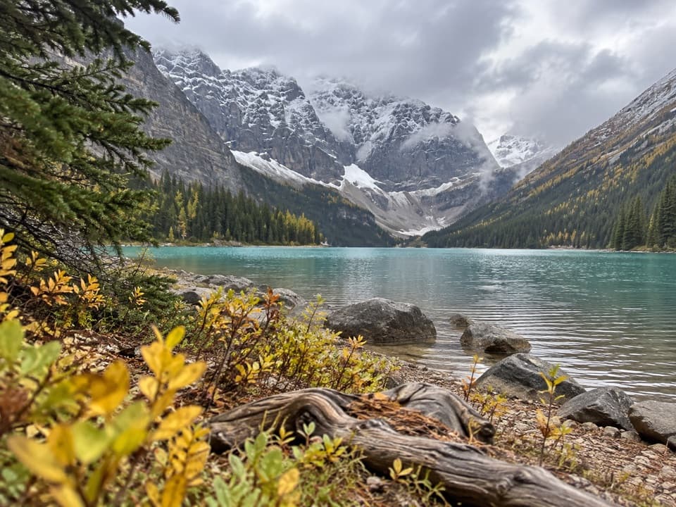
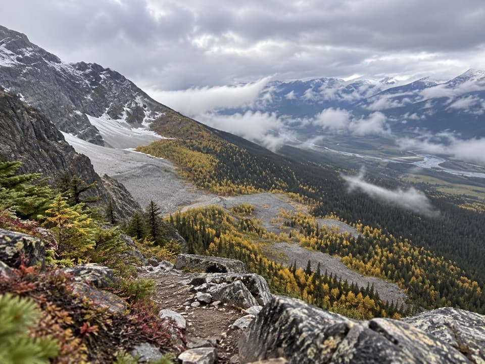
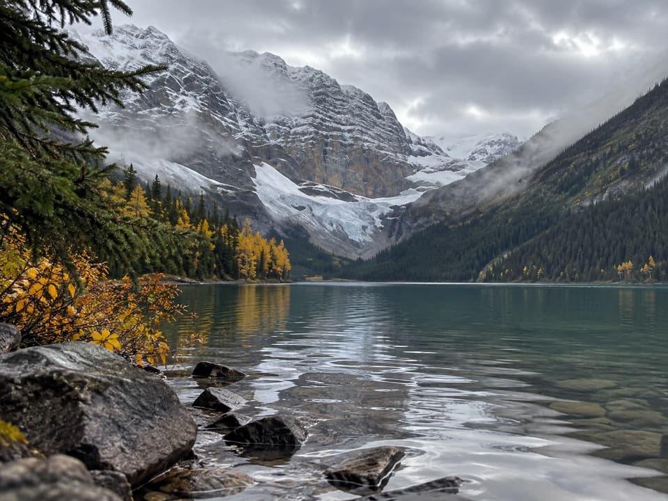
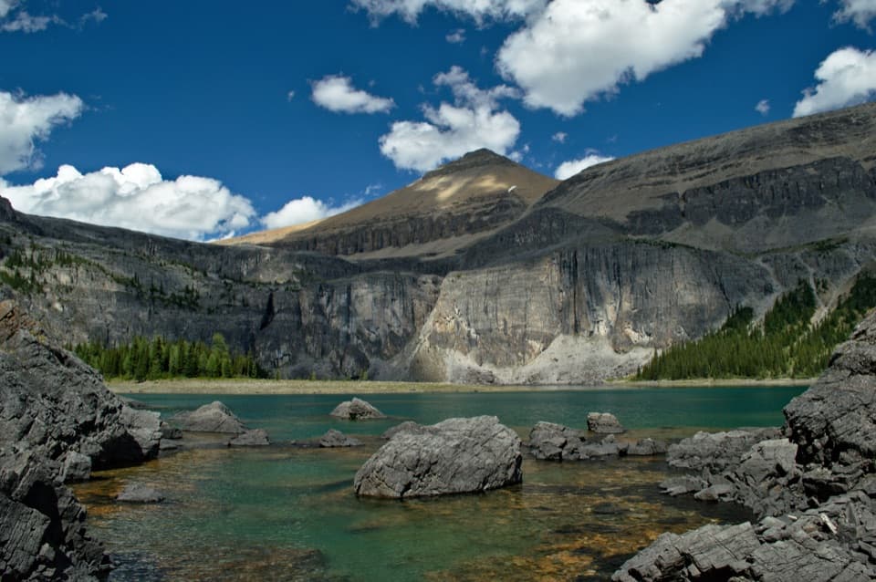
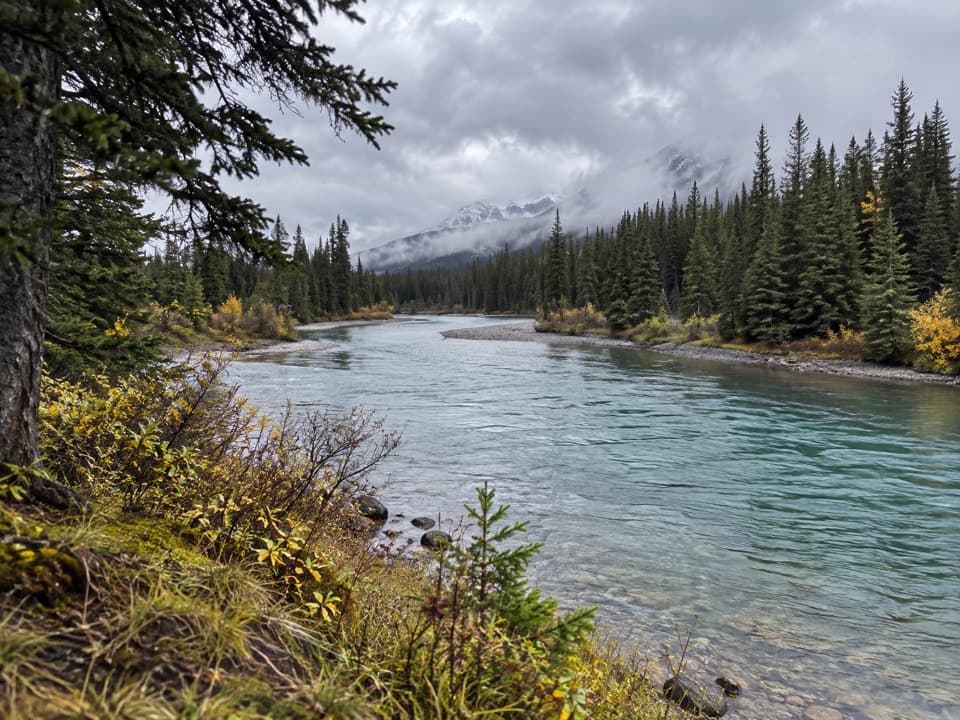
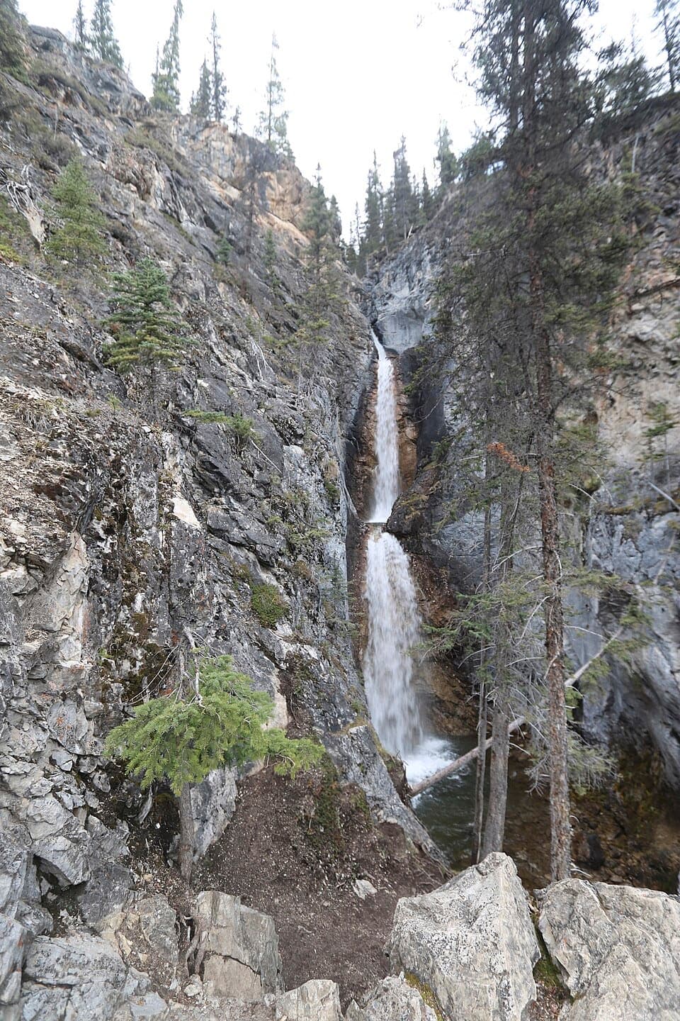
The trail steepens soon after the turnoff. Partway up, a stepped waterfall comes into view; higher on the slope, the trees open onto meadows of yellow-flowering shrubby cinquefoil. At the pass, look down the long alpine valley toward Pulsatilla Mountain. The mapped spur reaches close to the named saddle and returns by the same route; the longer Sawback itinerary continues beyond the pass.

Crossings and accessSeveral streams cross the ascent, and some take a little scouting if you want to keep your feet…

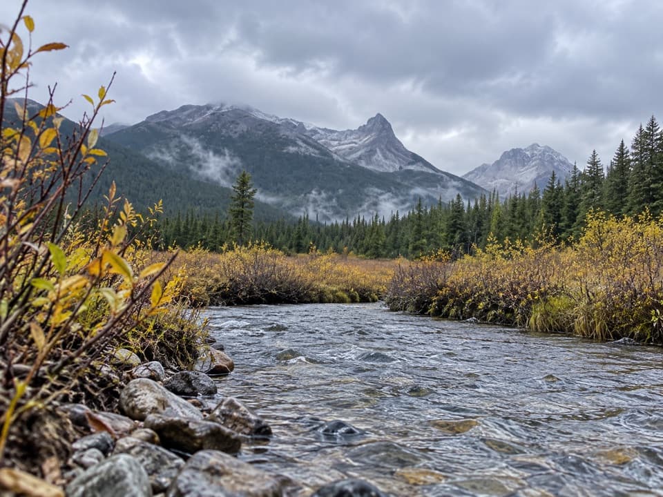
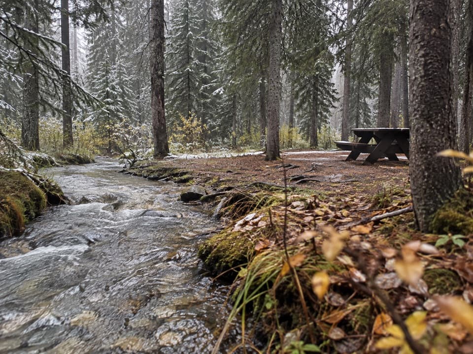
Several streams cross the ascent, and some take a little scouting if you want to keep your feet dry. The turnoff is about half a kilometre before Badger Pass Junction Campground. The campground is a separate stop, not the pass, and its access includes another creek crossing. The mapped route ends close to, but does not precisely pin, the saddle, so follow the established tread for the final approach rather than extending the line across open ground. Overnight backcountry travel requires a permit. Dogs must stay leashed, and some Banff trails have dog restrictions, so check current trail information before setting out.

Wildlife

Wildlife in Banff

All Banff wildlife maps

Sighting maps show where each species has been reported across Banff. Wildlife moves, so no sighting is guaranteed.

Keep exploring

Near Badger Pass Trail

See it all on the map

Trails that start nearby

Places near the trailhead

Parkwolf’s Banff ranking

Top-rated trails in Banff

All 162 trails
  1. 1Sentinel Pass via Larch Valley TrailChallenging · 11.2 km
  2. 2Plain of Six Glaciers TrailModerate · 11.6 km
  3. 3Lake Agnes TrailModerate · 7.8 km
  4. 4Johnston Canyon Trail to Upper FallsEasy · 4.8 km
  5. 5Larch Valley / Minnestimma Lakes TrailModerate · 9 km
  6. 6Parker Ridge TrailModerate · 5.6 km

Take Parkwolf to Banff.

The audio tour guide for the drive, plus offline maps, trails, and wildlife heatmaps for when the signal drops.

4.7 from 8,600+ ratings

Download Parkwolf on the App StoreGet Parkwolf on Google Play