Beartooth Highway Welcome Sign in Beartooth Highway

Sight · Beartooth Highway

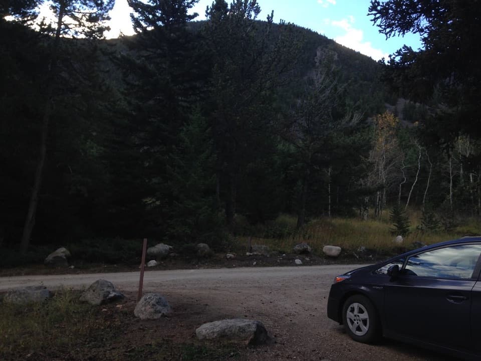
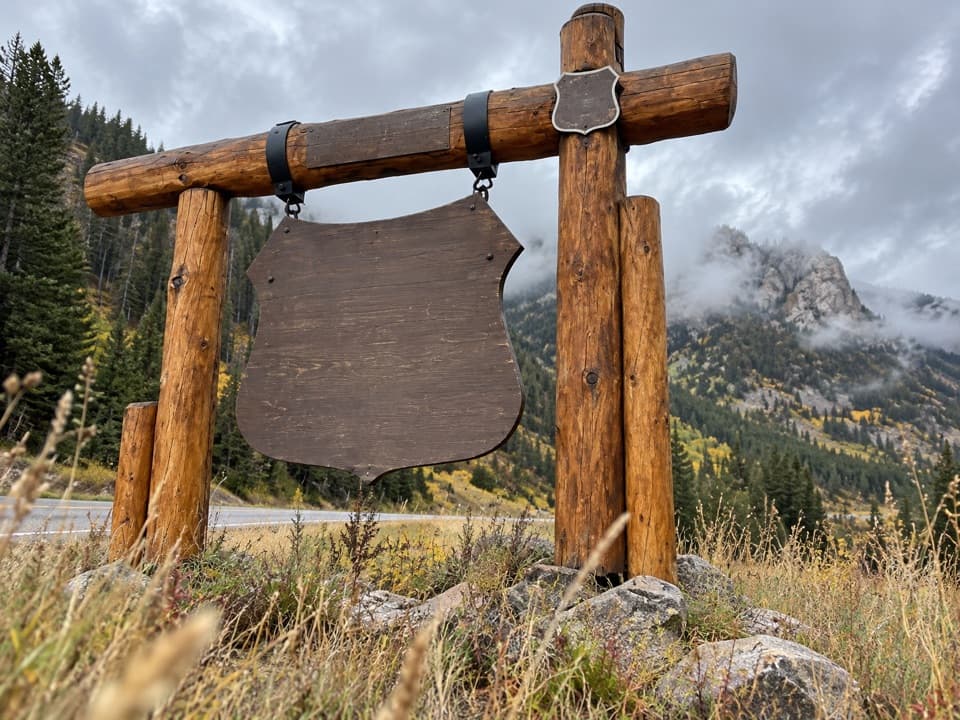
Beartooth Highway Welcome Sign

A quick welcome photo before the high-country drive.

Type
Sight
Nearest trail
0.2 mi
Audio stories
5 nearby

Hear the audio tour

Rattin Campground and Corral Creek

Overview

About Beartooth Highway Welcome Sign

Why stop

  • A recognizable marker at the Red Lodge approach.

Heads up

  • Little to do beyond a brief photo stop.

Map

Where it is

Loading the Beartooth Highway map
Full map
SightBeartooth Highway Welcome Sign45.08679, -109.33038
Keep this map with you offline in the Parkwolf app

Plan your stop

Before you go

Best time to go

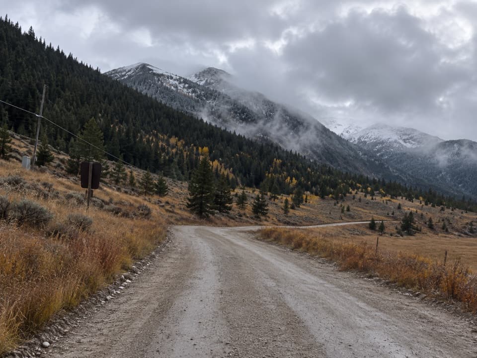
The high route typically opens from Memorial Day to October 15, weather permitting; snow can linger at elevation into early or mid-July. Check road conditions near those seasonal edges. For the welcome photo, frame the shield and its log supports with the wooded rocky slope behind it.

1 active Beartooth Highway alert

  • ClosureBeartooth Highway seasonal closure and falling-rock advisoryBeartooth Highway (US-212) is closed for the season between Cooke City and Red Lodge; do not plan to travel the highway as a through route.Official details
Beartooth Highway alerts
A park ranger sits on a dash-mounted phone, talking, as Parkwolf’s Tour Guide plays “Army Cutworm Moths: A Grizzly Bear Buffet” on Grand Loop Road below Dunraven Pass in Yellowstone
Parkwolf Tour GuideThe highest, rockiest slopes around here are a summer buffet for grizzly bears.

Beartooth Highway Tour Guide

Your drive to Beartooth Highway Welcome Sign, narrated.

Parkwolf is a GPS audio tour guide for Beartooth Highway. As you drive, it chimes in with what’s ahead: hidden gems, upcoming stops, history, geology, and wildlife, right through your car’s speakers.

See the Beartooth Highway audio tour

Recorded for this area

Rattin Campground and Corral Creek
0:00 / 0:30
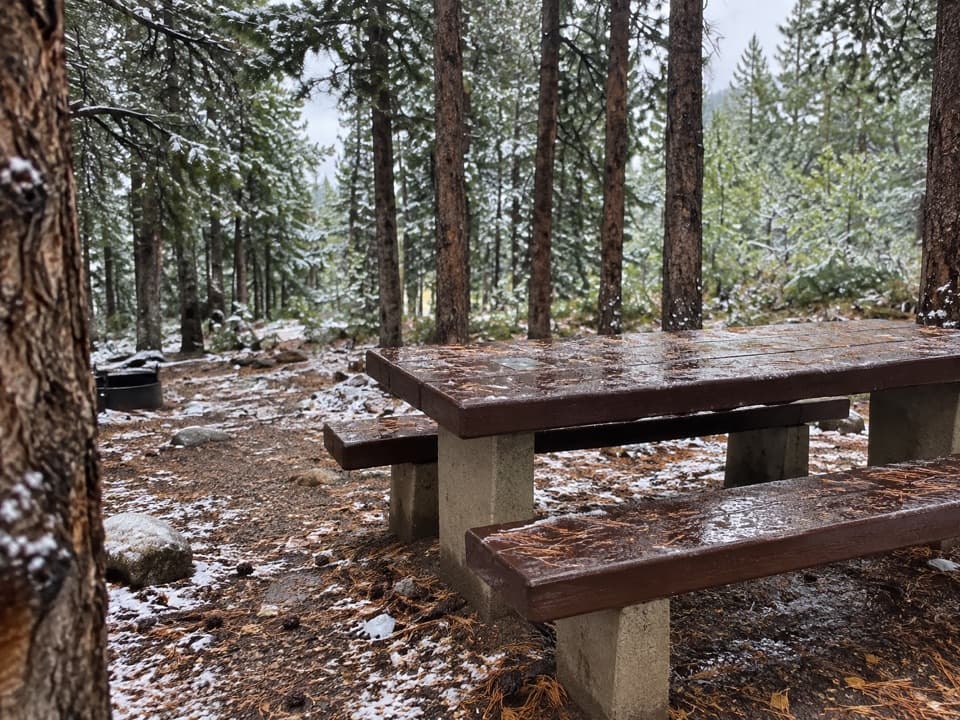
“You're nearing Rattin Campground and the Corral Creek trailhead on East Side Road. Rattin has just seven wooded sites beside the Main Fork of Rock Creek, a shaded overnight option about seven miles from Red Lodge.”

Plays on the road 0.2 mi from Beartooth Highway Welcome Sign in the Parkwolf Beartooth Highway Tour Guide.

More stories near here in the app

  • A Moving Tube of Sand
  • A Moose's Underwater Meal
  • Sheridan Campground
  • Bear Track Trailhead
  • 62 audio storiesacross Beartooth Highway’s roads, triggered by GPS as you drive
  • Wildlife heatmapsfor Grizzly Bear, Gray Wolf, Bison, and 13 more
  • Works offlinemaps, 82 trails, 36 places, and audio download before you lose signal
  • CarPlay readysimple controls built for the drive
★★★★★
“Fantastic app with many points of information… It’s great to just turn on while you’re driving and it gives you an audio tour of the national Park. We love it!!!!”
JMJamesApp Store review
Download Parkwolf on the App StoreGet Parkwolf on Google Play

4.7 from 8,600+ ratings

Guide

More about Beartooth Highway Welcome Sign

A quick welcome photoThis small timber welcome sign stands near Red Lodge, across US 212 from Rattin Campground, and…

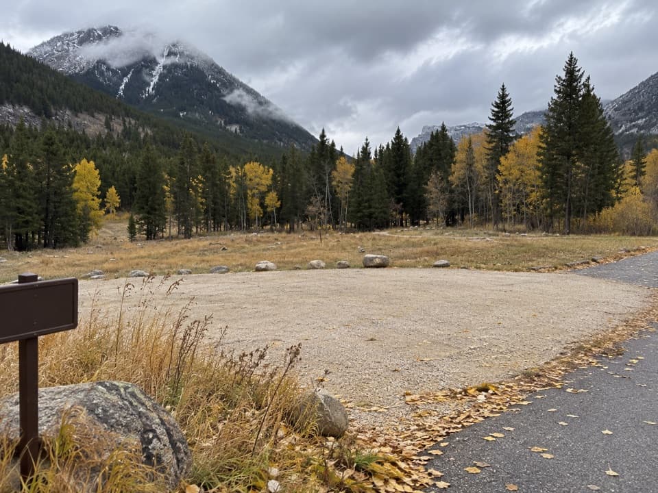
This small timber welcome sign stands near Red Lodge, across US 212 from Rattin Campground, and marks the Beartooth Highway. It is a brief roadside photo stop; only pull over where parking is legal and fully clear of traffic.

The road it announcesConstruction of the highway began in 1932 and finished on June 14, 1936.

Construction of the highway began in 1932 and finished on June 14, 1936. From Red Lodge, US 212 climbs toward Beartooth Pass; the corridor has scenic pullouts, interpretive displays, campgrounds and day hikes. The sign is a quick marker at the start of a much longer drive.

Wildlife

Wildlife in Beartooth Highway

All Beartooth Highway wildlife maps

Sighting maps show where each species has been reported across Beartooth Highway. Wildlife moves, so no sighting is guaranteed.

Keep exploring

Near Beartooth Highway Welcome Sign

See it all on the map

Trails nearby

More stops nearby

Parkwolf’s Beartooth Highway ranking

Top sights in Beartooth Highway

All 36 places
  1. 1Beartooth Pass VistaSight
  2. 2Rock Creek Vista PointSight
  3. 3Clay Butte LookoutSight
  4. 4Pilot and Index Peaks OverlookScenic pullout
  5. 5Beartooth LakeSight
  6. 6Crazy Creek FallsSight

Take Parkwolf to Beartooth Highway.

The audio tour guide for the drive, plus offline maps, trails, and wildlife heatmaps for when the signal drops.

4.7 from 8,600+ ratings

Download Parkwolf on the App StoreGet Parkwolf on Google Play