Parking
Use the Lake Fork Road access at the northeast end, but no marked trail lot or shuttle arrangement was verified. Confirm legal parking at both ends and plan a pickup near Parkside Campground; otherwise retrace the route.
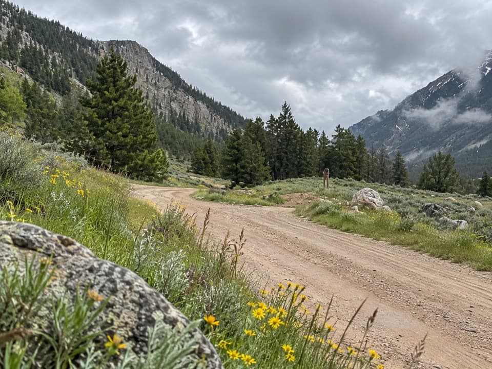
Beartooth Highway, MT · WY
A rough creekside climb between two Rock Creek drainages.
Overview
Map & elevation
Plan your hike

The highest, rockiest slopes around here are a summer buffet for grizzly bears.
Beartooth Highway Tour Guide
Parkwolf is a GPS audio tour guide for Beartooth Highway. As you drive, it chimes in with what’s ahead: hidden gems, upcoming stops, history, geology, and wildlife, right through your car’s speakers.
See the Beartooth Highway audio tourRecorded for this area
A Mountain Goat's Grip“A mountain goat's grip starts with a hoof split into two toes. Those toes can spread apart, and soft inner pads help it hold onto uneven rock.”
Plays on the road 0.4 mi from the trailhead in the Parkwolf Beartooth Highway Tour Guide.
More stories near here in the app
“Fantastic app with many points of information… It’s great to just turn on while you’re driving and it gives you an audio tour of the national Park. We love it!!!!”


Trail guide
Lower Parkside Trail #106 is a 2.3-mile one-way gravel-and-rock doubletrack beside Rock Creek, running from Lake Fork Road south and west toward Parkside Campground. It climbs about 470 feet and takes around 1.5 hours one way. The walk links the Lakefork and Mainfork drainages, with views toward Mainfork near the southern end. Without a pickup, retrace the route for about 4.6 miles. The Forest Service lists the trail as #106; some map layers label the same track #104.
This is a broad track rather than a narrow footpath. Most of it is gravel, with larger loose rocks; about half is open and the rest runs among trees. Blind bends and tree cover can hide approaching traffic. Some trail descriptions report motorized use, although map data conflict about vehicle access, so confirm current permitted use before walking.
Wildlife
 42 sightingsGrizzly BearMost seen around 7 AMSighting map
 22 sightingsGray WolfMost seen around 6 AMSighting map
 49 sightingsBisonMost seen around 6 AMSighting map
 122 sightingsMooseMost seen around 6 AMSighting map
 260 sightingsMountain GoatMost seen around 7 AMSighting map
 16 sightingsBighorn SheepMost seen around 7 PMSighting map
Sighting maps show where each species has been reported across Beartooth Highway. Wildlife moves, so no sighting is guaranteed.
Keep exploring
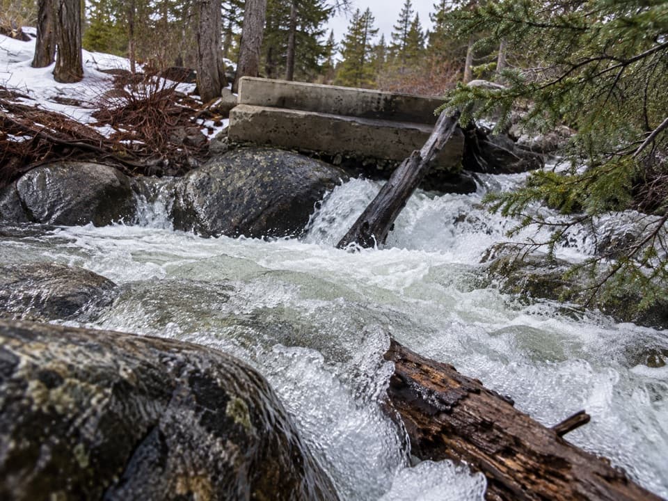 EasyLower Lake Fork Trail #2A2 mi · 1.3 hr · 0.2 mi awayA creekside link to Lake Fork's longer high-country hikes.
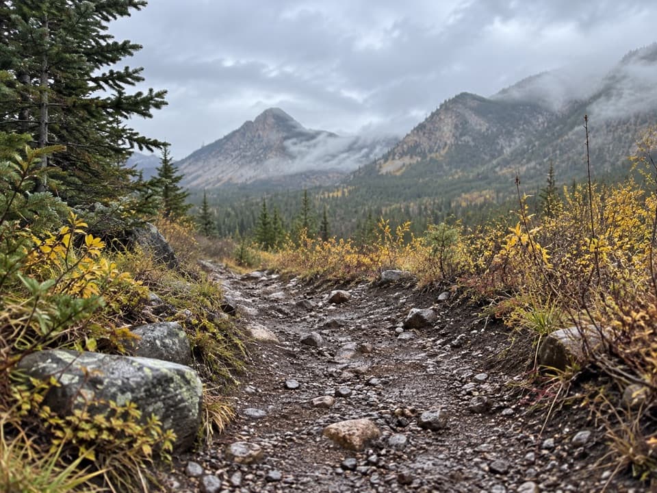 ChallengingBear Track Trail12.5 mi · 10 hr · 0.8 mi awayA hard 12.5-mile climb across Silver Run Plateau into wilderness.
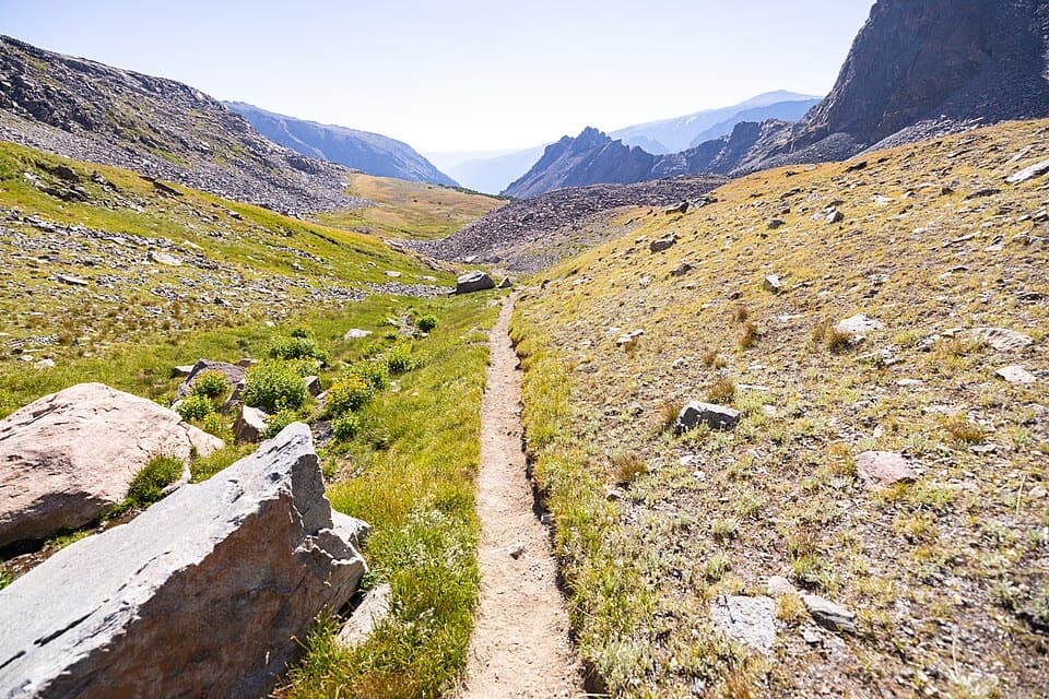 ChallengingSundance Pass Traverse20.5 mi · 11 hr · 1.6 mi awayA full day over Sundance Pass, from lakes to wild creek.
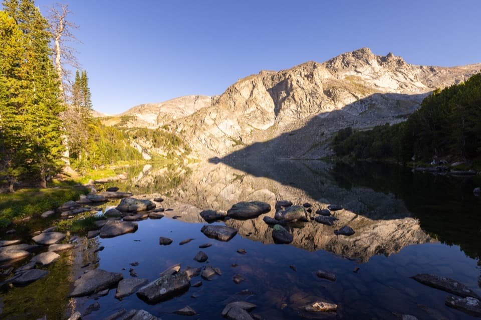 ChallengingLake Fork Trail #2 to Sundance Pass19 mi · 12 hr · 1.6 mi awayA long creekside climb from lakes to a high alpine pass
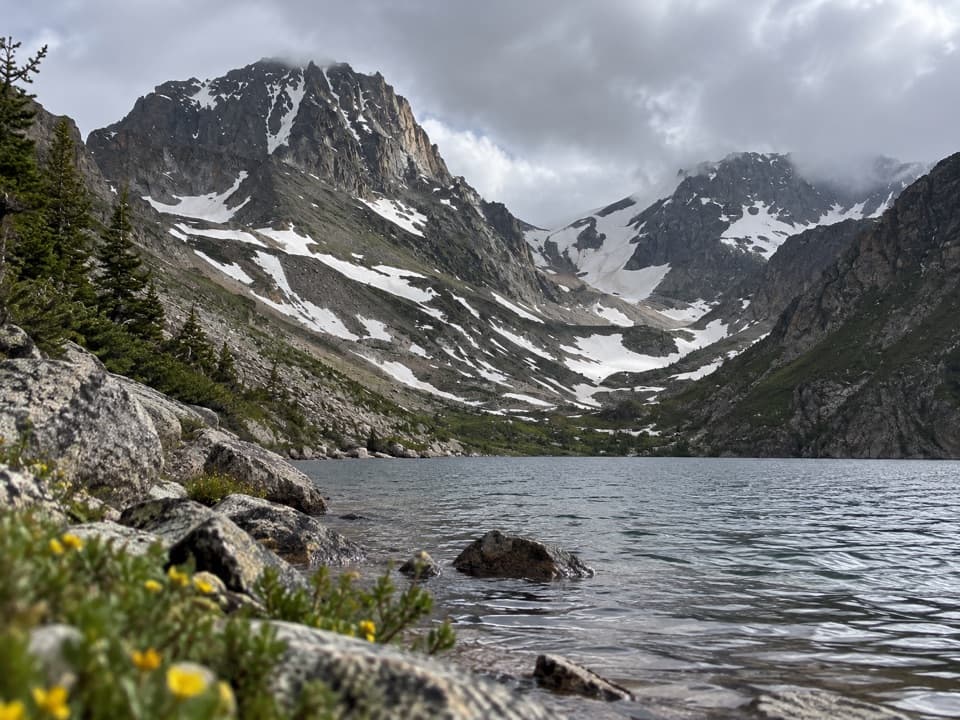 ChallengingBlack Canyon Lake Trail13.3 mi · 7.5 hr · 1.6 mi awayA long wilderness hike to a turquoise lake and glacier views
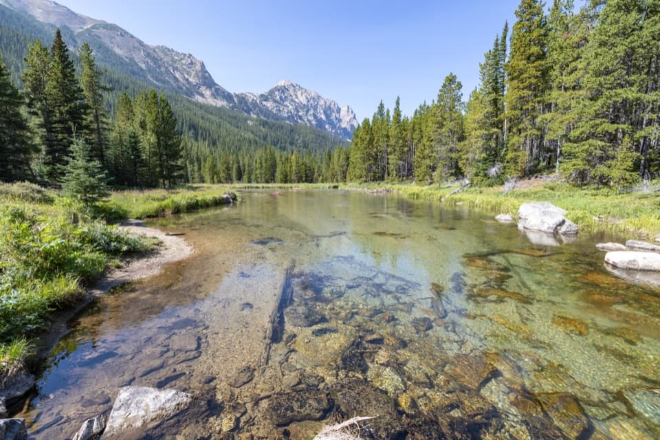 ModerateLost Lake Trail (Lake Fork)10.6 mi · 6 hr · 1.6 mi awayA long creekside out-and-back to a high lake beneath Peak 10,913.
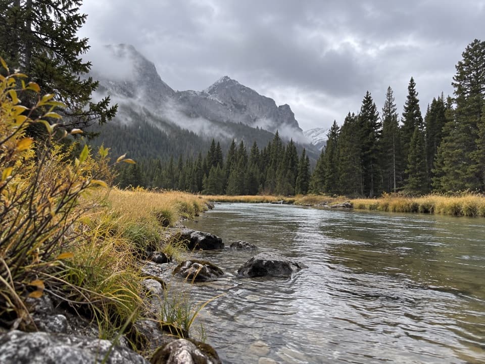 ChallengingKeyser Brown Lake Trail13.2 mi · 7.5 hr · 1.6 mi awayA long creekside walk to a high, quiet alpine lake.ModerateBroadwater Lake via Lake Fork Trail7.5 mi · 4 hr · 1.6 mi awayA creekside ramble ends in Broadwater's open mountain meadows.
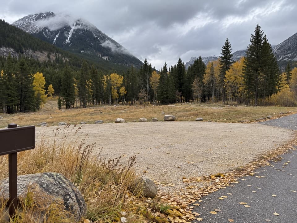 Campground · 1.9 mi awayParkside CampgroundCreekside camping near the foot of the Beartooth switchbacks.
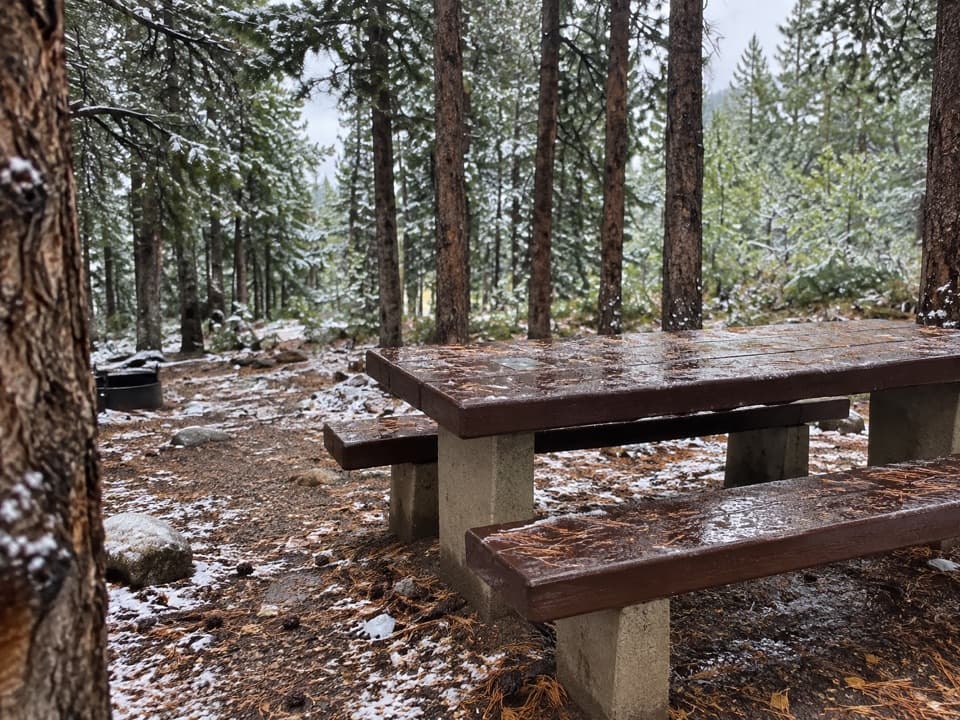 Campground · 2.3 mi awayLimber Pine CampgroundA quiet creekside base below the Beartooth switchbacks.
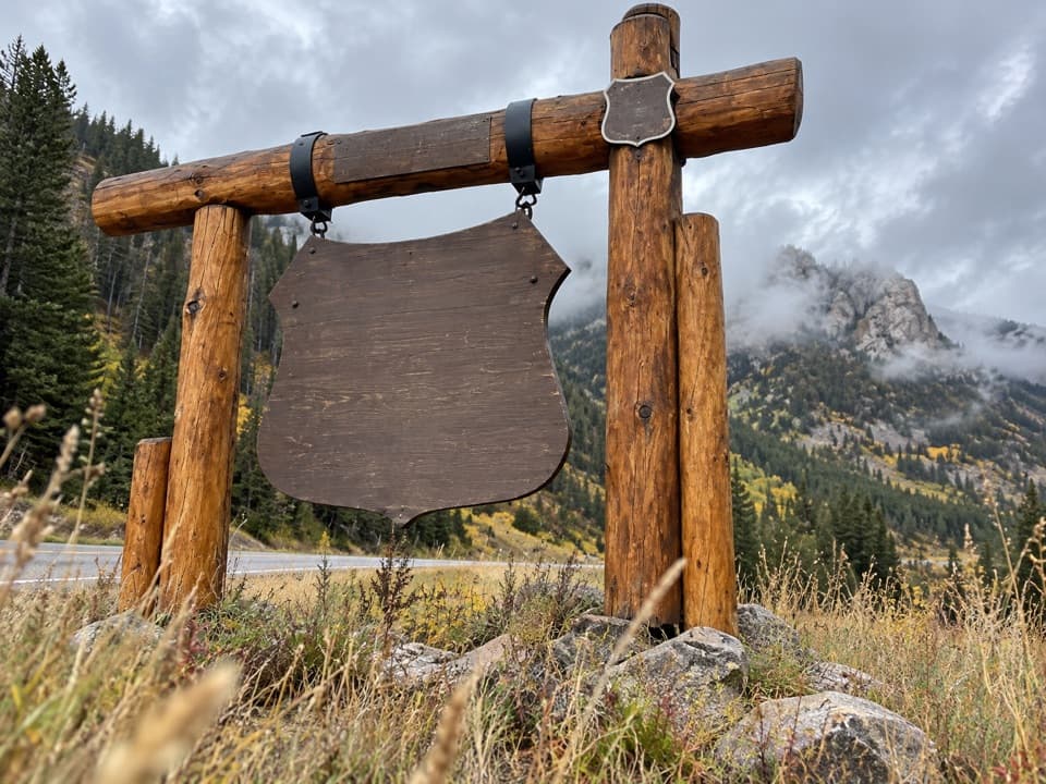 Sight · 2.4 mi awayBeartooth Highway Welcome SignA quick welcome photo before the high-country drive.
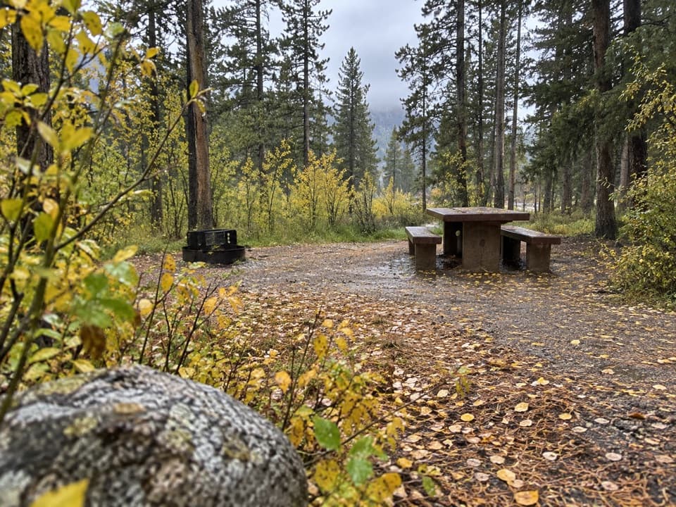 Campground · 2.4 mi awayGreenough Lake CampgroundCreekside camping, with Greenough Lake a short walk away.
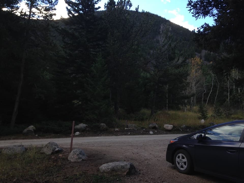 Campground · 2.6 mi awayRattin CampgroundSeven wooded, creekside sites make a practical overnight near Red Lodge.
 Sight · 3 mi awayRock Creek Vista PointA short paved path opens onto a huge glacial valley.
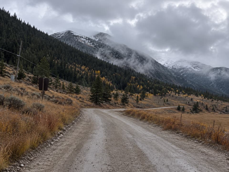 Campground · 3.7 mi awaySheridan CampgroundNine creekside sites make a quiet base for fishing and hiking.
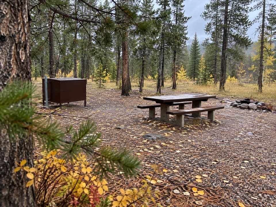 Campground · 3.9 mi awayM-K CampgroundA free creekside campground near Beartooth Highway hikes.
Parkwolf’s Beartooth Highway ranking

The audio tour guide for the drive, plus offline maps, trails, and wildlife heatmaps for when the signal drops.




