Parking
From the Beartooth Ranger District office, drive south on US 212 for 3.9 miles, turn left onto East Side Road, then go 0.5 mile to the pullout on the left. Parking is limited; there is no room for horse trailers, water or restrooms.
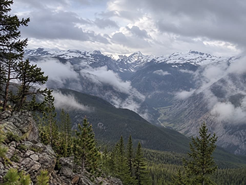
Beartooth Highway, MT · WY
The climb keeps going beyond Line Creek Plateau.
Overview
Map & elevation
Plan your hike

The highest, rockiest slopes around here are a summer buffet for grizzly bears.
Beartooth Highway Tour Guide
Parkwolf is a GPS audio tour guide for Beartooth Highway. As you drive, it chimes in with what’s ahead: hidden gems, upcoming stops, history, geology, and wildlife, right through your car’s speakers.
See the Beartooth Highway audio tourRecorded for this trailhead
Mount Maurice Trailhead“Up ahead is Mount Maurice Trailhead on East Side Road. This route climbs through forest from Rock Creek Canyon, reaching open Line Creek Plateau after about three miles.”
Plays as you drive up to this trailhead in the Parkwolf Beartooth Highway Tour Guide.
More stories near here in the app
“Fantastic app with many points of information… It’s great to just turn on while you’re driving and it gives you an audio tour of the national Park. We love it!!!!”


Trail guide
Mount Maurice Trail #6 is a 14-mile out-and-back from the East Side Road trailhead. It climbs out of Rock Creek Canyon to Line Creek Plateau, then continues to North Line Creek Spur #7A. The Forest Service lists seven miles to the spur, so you retrace the same route to finish. Expect about 3,200 feet of elevation gain and allow roughly eight to nine hours.
The lower trail climbs the southwest side of Mount Maurice through forest. After about three miles, the grade eases as the route reaches Line Creek Plateau and its open alpine country. The plateau is a good turnaround if you want a shorter hike; the full #6 keeps going to North Line Creek Spur.
Wildlife
 42 sightingsGrizzly BearMost seen around 7 AMSighting map
 22 sightingsGray WolfMost seen around 6 AMSighting map
 49 sightingsBisonMost seen around 6 AMSighting map
 122 sightingsMooseMost seen around 6 AMSighting map
 260 sightingsMountain GoatMost seen around 7 AMSighting map
 16 sightingsBighorn SheepMost seen around 7 PMSighting map
Sighting maps show where each species has been reported across Beartooth Highway. Wildlife moves, so no sighting is guaranteed.
Keep exploring
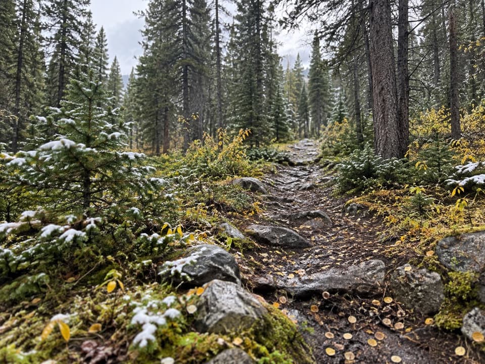 ChallengingCorral Creek Trail #94.1 mi · 4.3 hr · 2.5 mi awayA steep climb reaches the headwaters and a five-foot cairn.
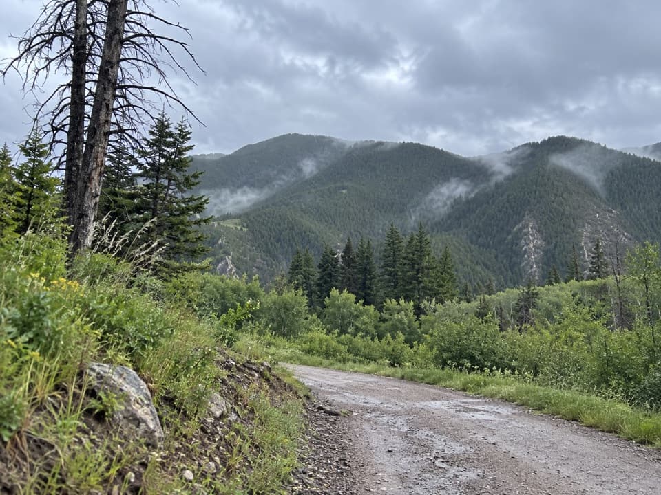 ModerateNichols Creek Trail4.3 mi · 3.3 hr · 2.9 mi awayA meadow approach turns into a long climb through pines.
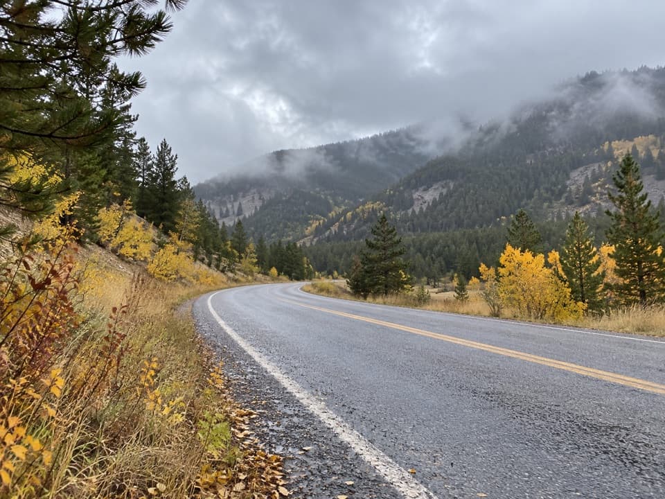 ModerateSilver Run Trail #102 (Full Loop)5 mi · 2.3 hr · 3.3 mi awayA five-mile multiuse loop beside West Fork Rock Creek.
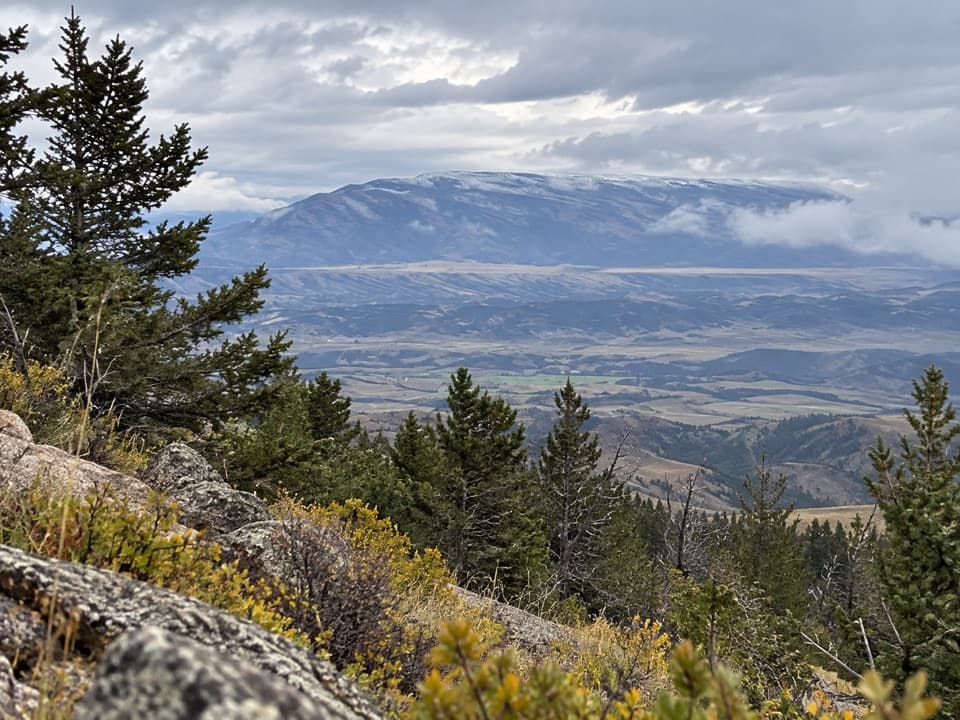 ChallengingFace-of-the-Mountain Trail #715 mi · 10 hr · 3.3 mi awayOld highway grade gives way to a remote Line Creek Plateau traverse.
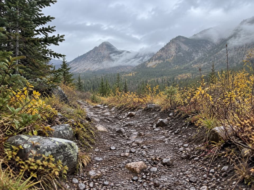 ChallengingBear Track Trail12.5 mi · 10 hr · 3.8 mi awayA hard 12.5-mile climb across Silver Run Plateau into wilderness.
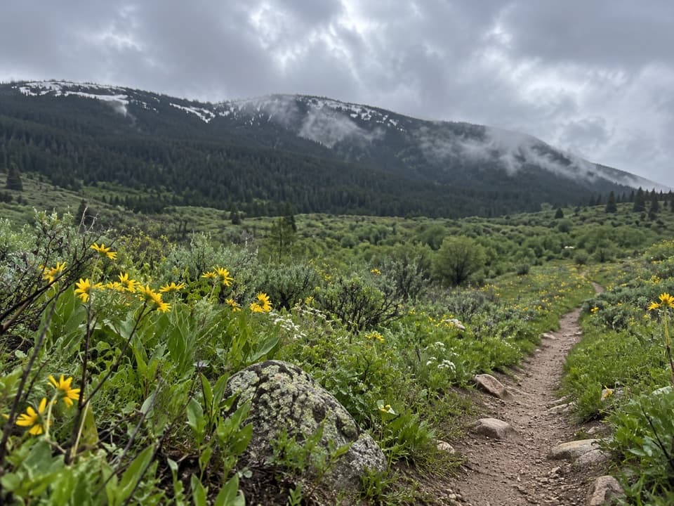 ModeratePalisades Trail #1097 mi · 4 hr · 4 mi awayA 7-mile out-and-back with a Fox Road turnaround
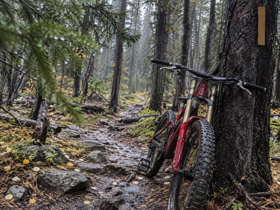 ChallengingIngles Creek Trail #352.5 mi · 2 hr · 4 mi awayA steep 2.5-mile descent links two Silver Run trail branches.
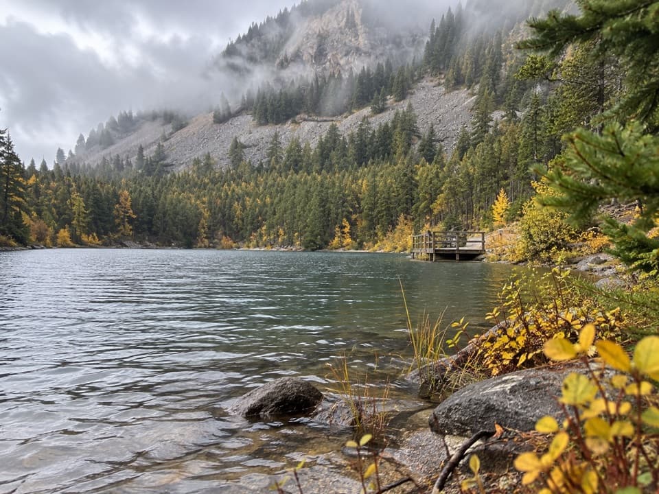 EasyWild Bill Lake Trail #620.4 mi · 24 min · 4.5 mi awayA short lake loop with two accessible fishing docks.
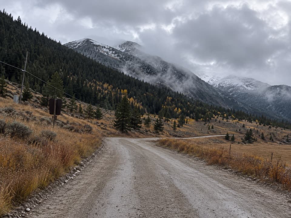 Campground · 1.2 mi awaySheridan CampgroundNine creekside sites make a quiet base for fishing and hiking.
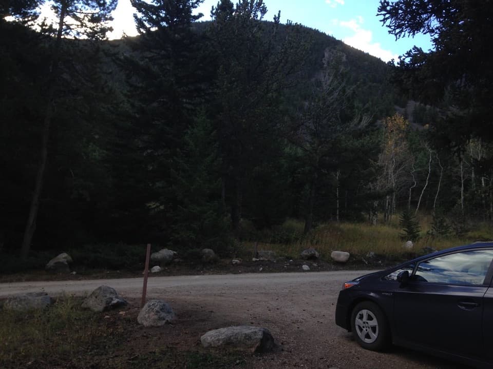 Campground · 2.4 mi awayRattin CampgroundSeven wooded, creekside sites make a practical overnight near Red Lodge.
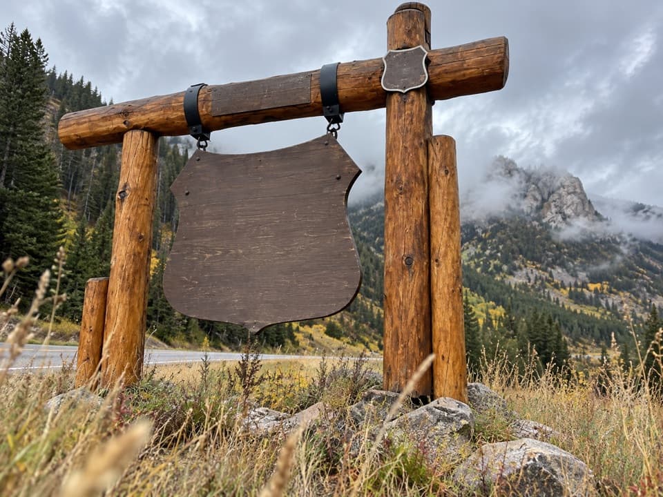 Sight · 2.6 mi awayBeartooth Highway Welcome SignA quick welcome photo before the high-country drive.
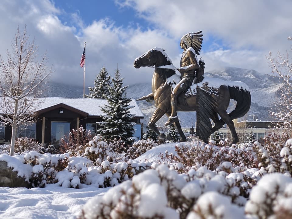 Visitor center · 6 mi awayRed Lodge Visitors CenterA practical first stop for maps, Yellowstone info, and road updates.
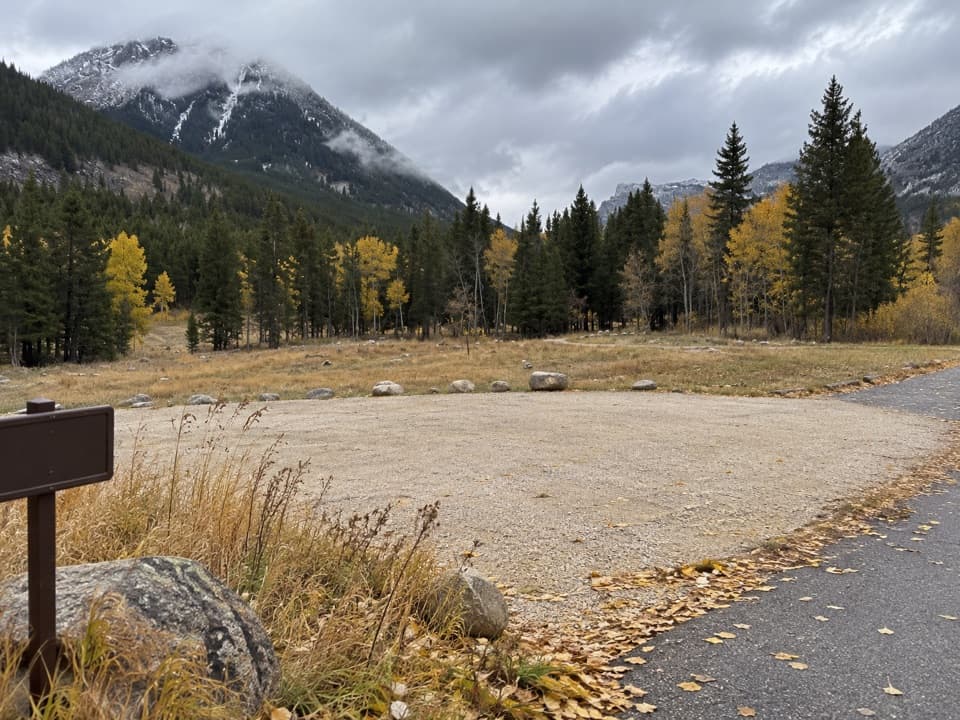 Campground · 6.5 mi awayParkside CampgroundCreekside camping near the foot of the Beartooth switchbacks.
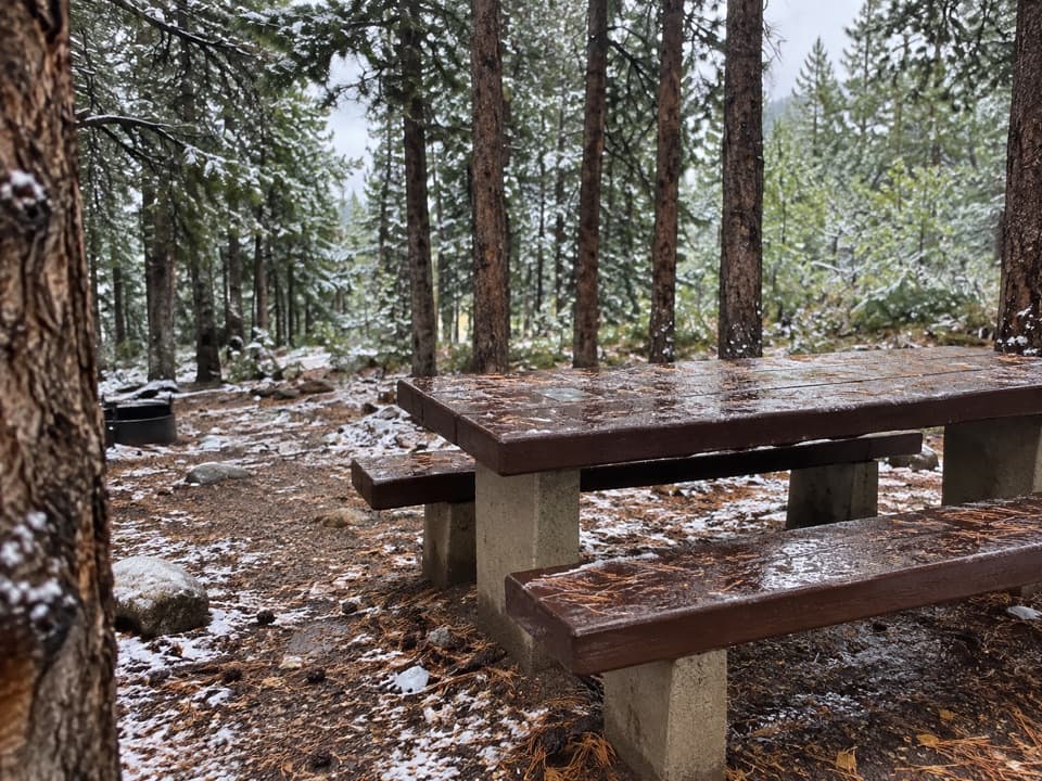 Campground · 6.9 mi awayLimber Pine CampgroundA quiet creekside base below the Beartooth switchbacks.
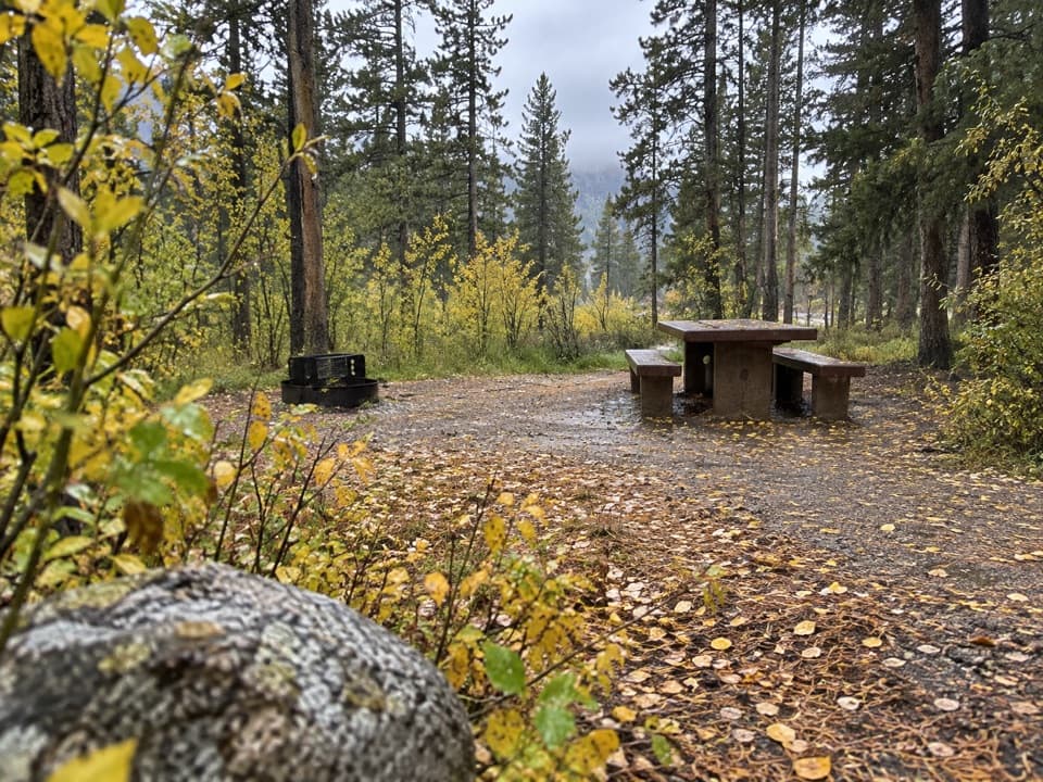 Campground · 7 mi awayGreenough Lake CampgroundCreekside camping, with Greenough Lake a short walk away.
 Sight · 7.3 mi awayRock Creek Vista PointA short paved path opens onto a huge glacial valley.
Parkwolf’s Beartooth Highway ranking

The audio tour guide for the drive, plus offline maps, trails, and wildlife heatmaps for when the signal drops.




