Sundance Pass Traverse in Beartooth Highway

#9 of 82 trails in Beartooth Highway

Beartooth Highway, MT · WY

Sundance Pass Traverse

A full day over Sundance Pass, from lakes to wild creek.

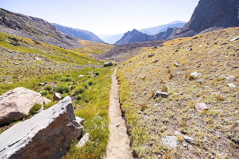
Photo: Wikimedia Commons
Length
20.5mi
Time
11hr
Elev. change
3,825ft
Difficulty
Challenging
  • Dogs allowed
  • High point 11,030 ft

Hear the audio tour

Lake Fork Road: Broadwater Lake

Overview

About Sundance Pass Traverse

Why go

  • A chain of high-country lakes leads to an 11,000-foot pass.
  • Creek, meadow and alpine terrain keep changing across the traverse.

Heads up

  • The 20.5-mile crossing needs a full day and separate transport.
  • High elevation and snow can limit access into mid-July.

Map & elevation

The route

Loading the Beartooth Highway map
Full map
Elevation7,205–11,030 ft
TrailheadLake Fork Trailhead #245.07905, -109.41074
Keep this map with you offline in the Parkwolf app

Plan your hike

Before you go

Parking

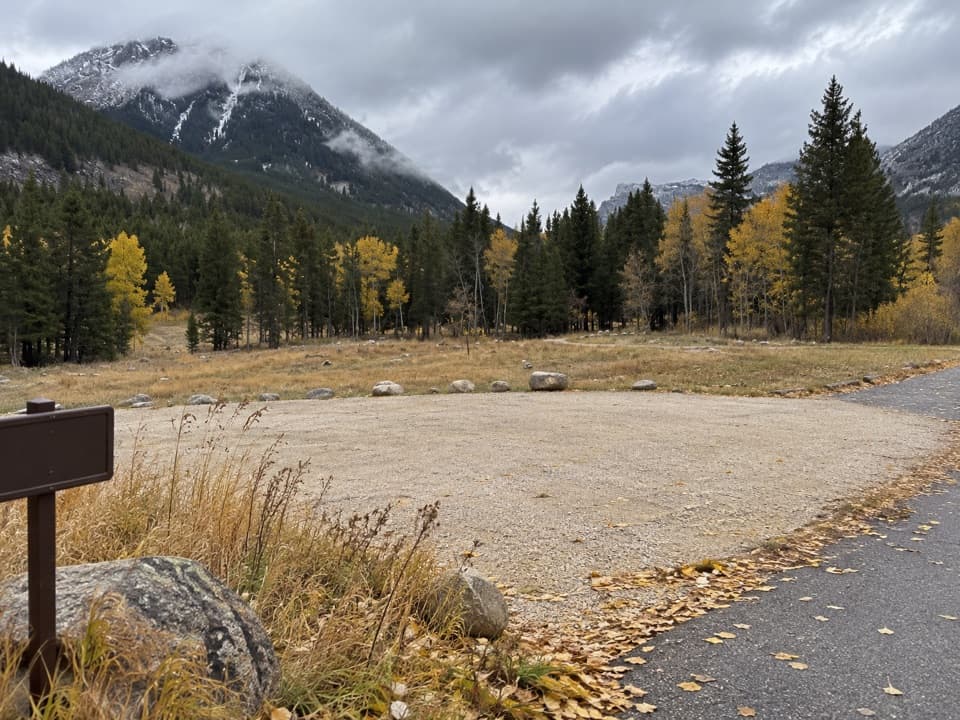
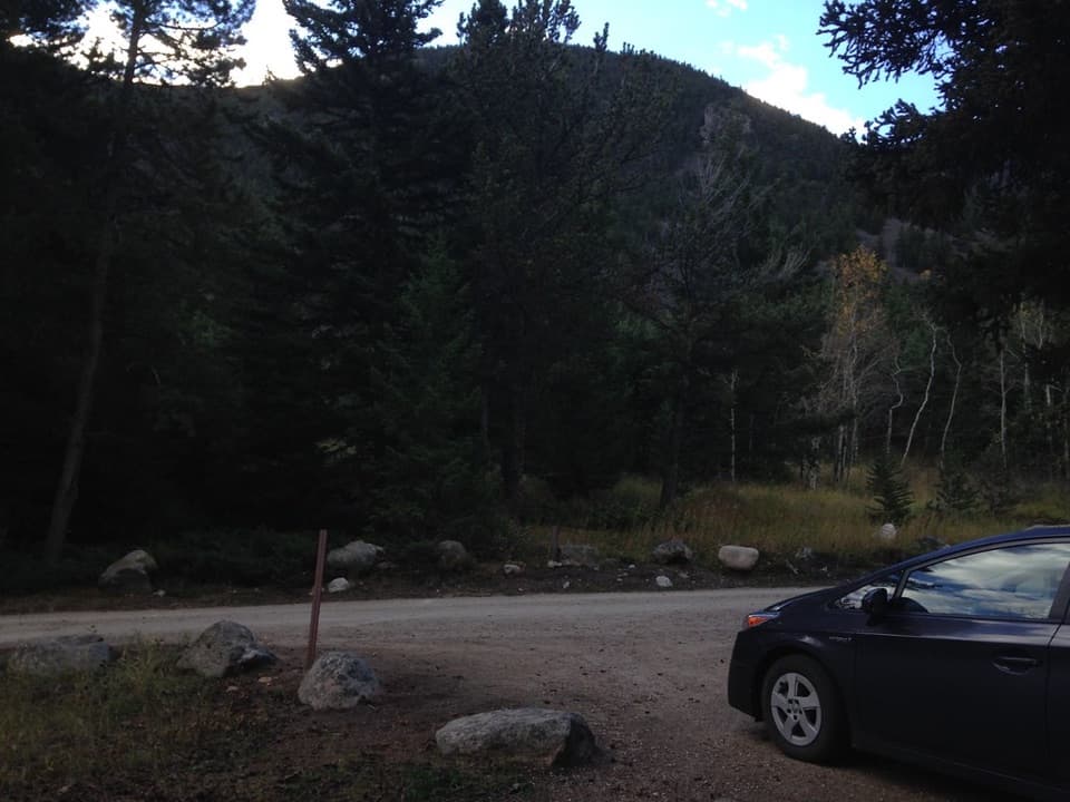
Start at Lake Fork Trailhead #2, reached by turning from US 212 onto Lake Fork Road and continuing 1.9 miles. The Forest Service describes ample parking, room for horse trailers and a vault toilet. Finish at the separate West Fork Rock Creek Trailhead; arrange your own pickup or shuttle between ends, as no shuttle service was verified.

Best time to go

The Forest Service’s combined figure is 20.5 miles one way. Other full-crossing measurements cluster near 19.9 to 21 miles; the mapped trail line is about 20.2 miles. The Lake Fork segment alone is about 9.5 miles one way to the pass, so that number describes only the eastern half. Budget around eleven hours for a typical full crossing, with time for the climb, descent and stops.

Safety

This is a long, strenuous wilderness route with exposed high-country terrain above 11,000 feet. Snow usually delays complete access to Sundance Pass until mid-July. The Forest Service advises carrying bear spray in this bear country; keep pets under control and yield to stock on the Lake Fork trail.

1 active Beartooth Highway alert

  • ClosureBeartooth Highway seasonal closure and falling-rock advisoryBeartooth Highway (US-212) is closed for the season between Cooke City and Red Lodge; do not plan to travel the highway as a through route.Official details
Beartooth Highway alerts
A park ranger sits on a dash-mounted phone, talking, as Parkwolf’s Tour Guide plays “Army Cutworm Moths: A Grizzly Bear Buffet” on Grand Loop Road below Dunraven Pass in Yellowstone
Parkwolf Tour GuideThe highest, rockiest slopes around here are a summer buffet for grizzly bears.

Beartooth Highway Tour Guide

Your drive to Sundance Pass Traverse, narrated.

Parkwolf is a GPS audio tour guide for Beartooth Highway. As you drive, it chimes in with what’s ahead: hidden gems, upcoming stops, history, geology, and wildlife, right through your car’s speakers.

See the Beartooth Highway audio tour

Recorded for this trailhead

Lake Fork Road: Broadwater Lake
0:00 / 0:28
“You're nearing Lake Fork Road, the access for a creekside hike to Broadwater Lake. The trailhead is one point nine miles up the road from the highway.”

Plays as you drive up to this trailhead in the Parkwolf Beartooth Highway Tour Guide.

More stories near here in the app

  • A Mountain Goat's Grip
  • A Cutthroat's Red Slash
  • Rock Creek Campgrounds and Greenough Lake
  • Main Fork Road: Glacier Lake
  • 62 audio storiesacross Beartooth Highway’s roads, triggered by GPS as you drive
  • Wildlife heatmapsfor Grizzly Bear, Gray Wolf, Bison, and 13 more
  • Works offlinemaps, 82 trails, 36 places, and audio download before you lose signal
  • CarPlay readysimple controls built for the drive
★★★★★
“Fantastic app with many points of information… It’s great to just turn on while you’re driving and it gives you an audio tour of the national Park. We love it!!!!”
JMJamesApp Store review
Download Parkwolf on the App StoreGet Parkwolf on Google Play

4.7 from 8,600+ ratings

Trail guide

Hiking Sundance Pass Traverse

A full-day crossingThe 20.

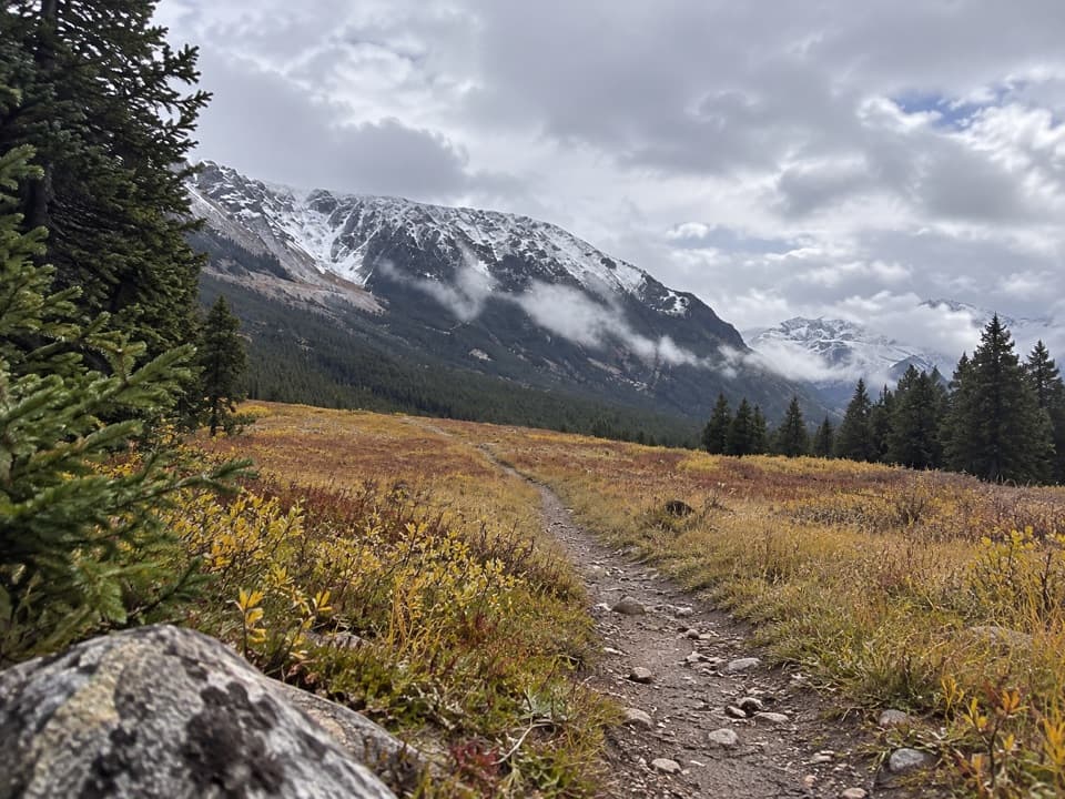
The 20.5-mile Sundance Pass Traverse is a point-to-point hike from Lake Fork Trailhead #2 to West Fork Rock Creek Trailhead. It follows the Lake Fork upstream past a chain of lakes, crosses Sundance Pass at just over 11,000 feet, then descends the West Fork side. Plan most of a day on foot: one through-hike took about ten hours including a long rest at the pass, and ordinary stops or a slower pace can make it longer. Arrange a vehicle pickup or shuttle between trailheads before starting; this route does not return to its starting parking lot.

Up Lake ForkThe eastern approach begins with a rolling, comparatively gentle climb beside the Lake Fork of…

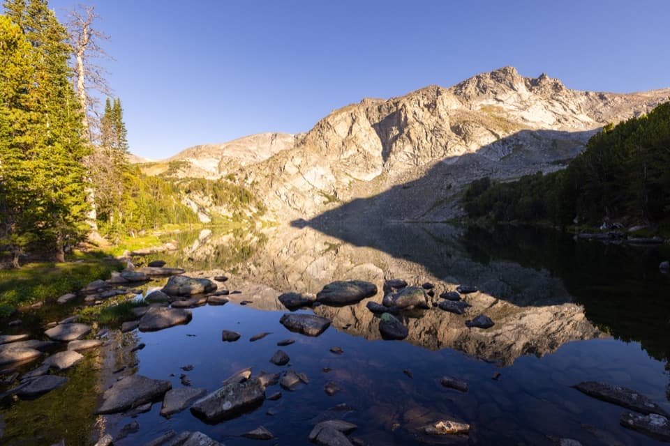
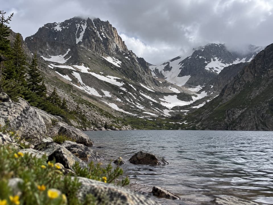
The eastern approach begins with a rolling, comparatively gentle climb beside the Lake Fork of Rock Creek. Broadwater Lake is about 3.75 miles in. The Lost Lake junction comes near mile 5, followed by the Keyser Brown Lake spur near mile 6. The grade steepens after that junction. September Morn Lake sits near mile 8, before the trail climbs above treeline through alpine tundra and increasingly bare rock to the pass at about mile 9.5. At the signed Keyser Brown junction, stay on the Sundance Pass route unless you are deliberately taking the lake spur.

Cross the passSundance Pass is the high point and the halfway landmark, not the end of the hard work.

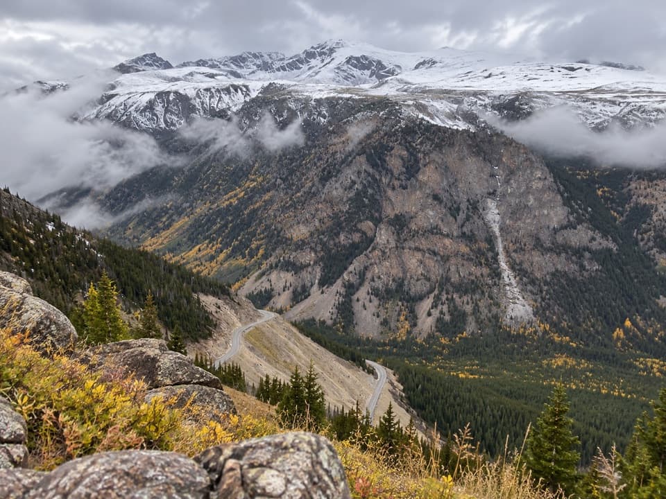
Sundance Pass is the high point and the halfway landmark, not the end of the hard work. The upper trail is open and rocky, with switchbacks as it reaches the saddle. From there, roughly eleven miles remain to the West Fork trailhead. Expect the scenery to change across the pass: the Lake Fork side leads through lakes and a broad high basin, while the far side drops into a different creek valley.

Down the West ForkThe west side alternates forested sections with grassy meadows.

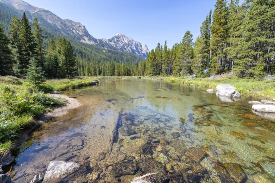
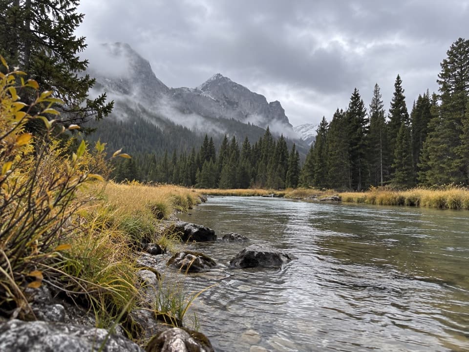
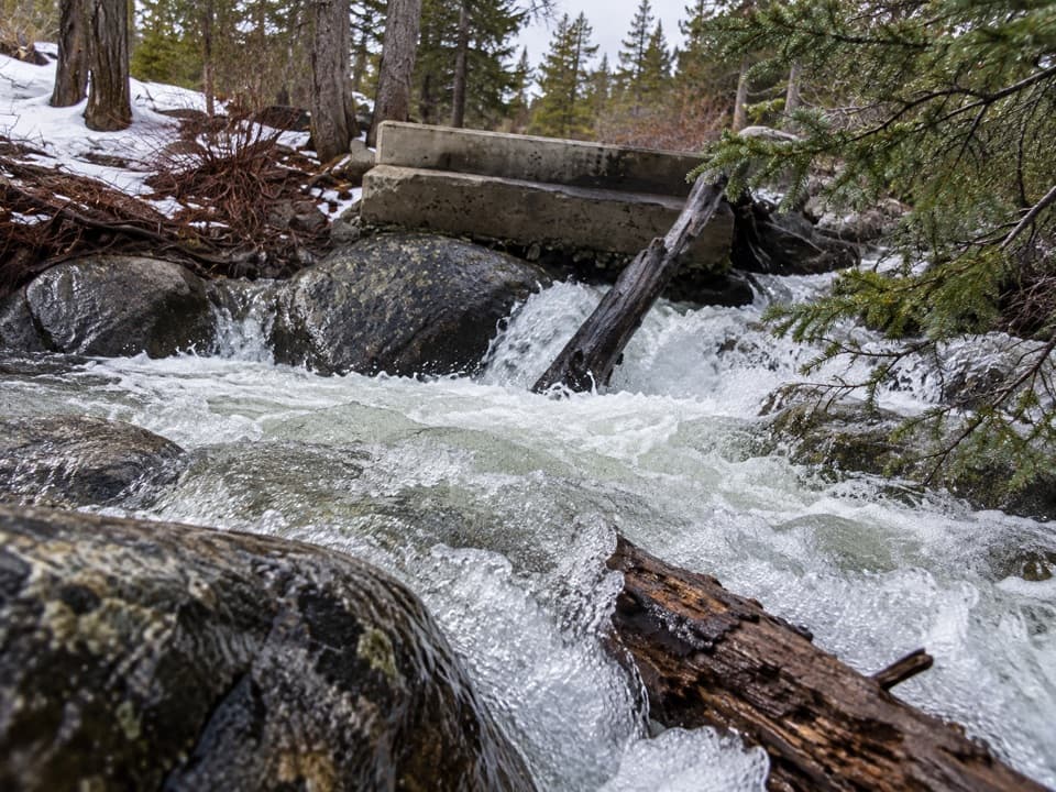
The west side alternates forested sections with grassy meadows. The West Fork ranges from whitewater cascades to wider, calmer reaches, so the descent keeps changing rather than staying on one long open slope. A steep switchback section covers about three miles and roughly 1,500 feet of elevation change. The trail eventually reaches the West Fork Rock Creek Trailhead; confirm your pickup point before setting off, since it is separate from Lake Fork.

Lakes in a glacial landscapeThe named waters are useful landmarks as well as highlights: Broadwater, Lost, Keyser Brown and…

The named waters are useful landmarks as well as highlights: Broadwater, Lost, Keyser Brown and September Morn all sit along or beside the Lake Fork approach. September Morn is near the pass-side climb, not the traverse’s destination. The high basins, cirques and U-shaped valleys in the Beartooths were shaped by glaciers, which explains the abrupt bowls and lake-filled terrain around the route.

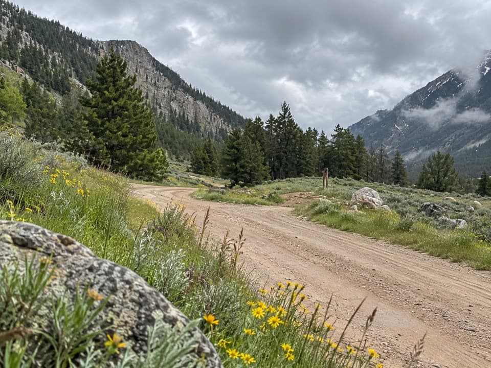
Access and conditionsLake Fork Trailhead 2 is reached by driving 1.9 miles up Lake Fork Road from US 212.

Lake Fork Trailhead #2 is reached by driving 1.9 miles up Lake Fork Road from US 212. It has ample parking, including room for horse trailers, and a vault toilet. Lake Fork is also open to horseback riding, so keep pets under control and share the trail with stock. The route crosses Absaroka-Beartooth Wilderness; follow its regulations. Snow usually delays a completely passable Lake Fork route until mid-July. Check conditions before setting out, and carry bear spray in this bear country.

Wildlife

Wildlife in Beartooth Highway

All Beartooth Highway wildlife maps

Sighting maps show where each species has been reported across Beartooth Highway. Wildlife moves, so no sighting is guaranteed.

Keep exploring

Near Sundance Pass Traverse

See it all on the map

Trails that start nearby

Places near the trailhead

Parkwolf’s Beartooth Highway ranking

Top-rated trails in Beartooth Highway

All 82 trails
  1. 1Glacier Lake TrailChallenging · 4.4 mi
  2. 2Beartooth Lakes LoopModerate · 7.8 mi
  3. 3Becker and Albino Lakes TrailModerate · 12.2 mi
  4. 4Beartooth Loop National Recreation TrailChallenging · 10.9 mi
  5. 5The Beaten PathChallenging · 26 mi
  6. 6Gardner Lake TrailModerate · 1.6 mi

Take Parkwolf to Beartooth Highway.

The audio tour guide for the drive, plus offline maps, trails, and wildlife heatmaps for when the signal drops.

4.7 from 8,600+ ratings

Download Parkwolf on the App StoreGet Parkwolf on Google Play