Ingles Creek Trail #35 in Beartooth Highway

Beartooth Highway, MT · WY

Ingles Creek Trail #35

A steep 2.5-mile descent links two Silver Run trail branches.

Length
2.5mi
Time
2hr
Elev. change
1,371ft
Difficulty
Challenging
  • High point 8,225 ft
Parkwolf audio tour62 stories across Beartooth Highway’s roads

Overview

About Ingles Creek Trail #35

Why go

  • Connects two named trails into longer routes
  • Can form part of a plateau loop

Heads up

  • A one-way segment, not a stand-alone loop
  • Reverse travel climbs about 1,370 feet at high elevation

Map & elevation

The route

Loading the Beartooth Highway map
Full map
Elevation6,854–8,225 ft
TrailheadIngles Creek / Silver Run Plateau Trail #64 Junction45.12630, -109.37762
Keep this map with you offline in the Parkwolf app

Plan your hike

Before you go

Parking

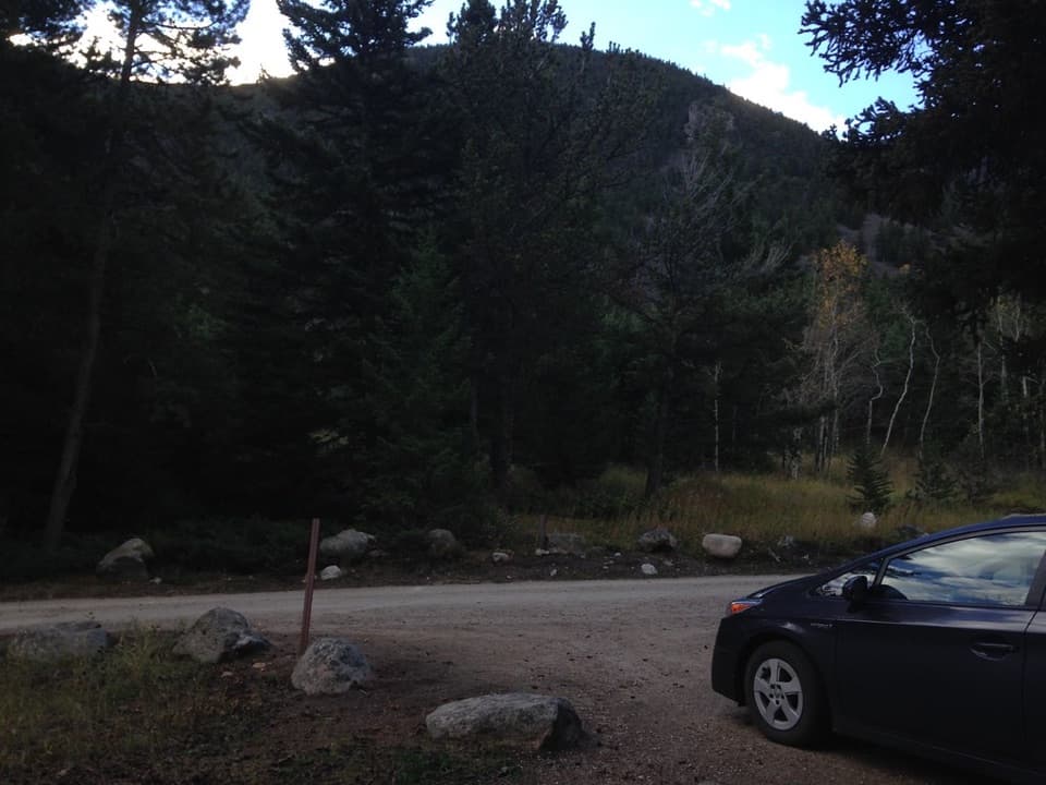
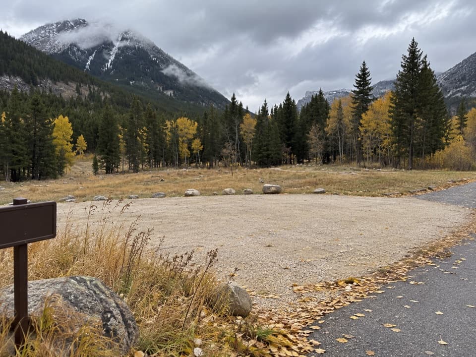
Use the Silver Run Plateau Trailhead on Forest Road 2476 for the south #35 junction; it is about two miles up #2476 from the Silver Run parking lot off West Fork Road, then 1.4 miles on Trail #64. Both lots have ample parking and a vault toilet. The north end joins Trail #102. Neither #35 junction is a vehicle trailhead, so plan a mapped connection or return. Forest Road 2476 is gated December 2–April 14 for winter recreation.

Safety

This is a one-way route between trail junctions. Its profile spans about 1,370 feet between roughly 6,860 and 8,230 feet; the reverse direction is a steep, high-elevation climb. Plan the connector and return before starting.

1 active Beartooth Highway alert

  • ClosureBeartooth Highway seasonal closure and falling-rock advisoryBeartooth Highway (US-212) is closed for the season between Cooke City and Red Lodge; do not plan to travel the highway as a through route.Official details
Beartooth Highway alerts
A park ranger sits on a dash-mounted phone, talking, as Parkwolf’s Tour Guide plays “Army Cutworm Moths: A Grizzly Bear Buffet” on Grand Loop Road below Dunraven Pass in Yellowstone
Parkwolf Tour GuideThe highest, rockiest slopes around here are a summer buffet for grizzly bears.

Beartooth Highway Tour Guide

Your drive to Ingles Creek Trail #35, narrated.

Parkwolf is a GPS audio tour guide for Beartooth Highway. As you drive, it chimes in with what’s ahead: hidden gems, upcoming stops, history, geology, and wildlife, right through your car’s speakers.

See the Beartooth Highway audio tour

More stories near here in the app

  • Bear Track Trailhead
  • A Mountain Goat's Grip
  • A Moving Tube of Sand
  • Lake Fork Road: Broadwater Lake
  • 62 audio storiesacross Beartooth Highway’s roads, triggered by GPS as you drive
  • Wildlife heatmapsfor Grizzly Bear, Gray Wolf, Bison, and 13 more
  • Works offlinemaps, 82 trails, 36 places, and audio download before you lose signal
  • CarPlay readysimple controls built for the drive
★★★★★
“Fantastic app with many points of information… It’s great to just turn on while you’re driving and it gives you an audio tour of the national Park. We love it!!!!”
JMJamesApp Store review
Download Parkwolf on the App StoreGet Parkwolf on Google Play

4.7 from 8,600+ ratings

Trail guide

Hiking Ingles Creek Trail #35

The #35 segmentIngles Creek Trail 35 is a 2.

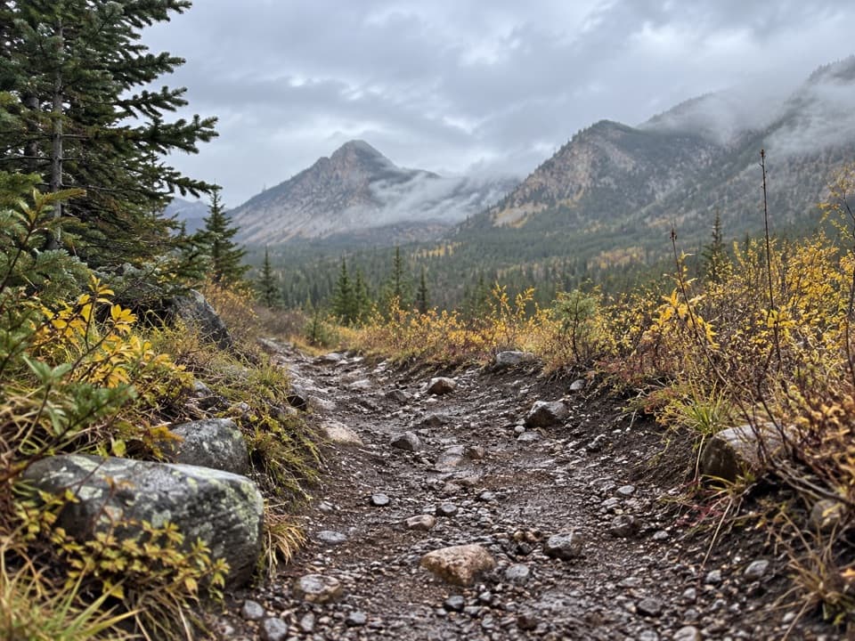
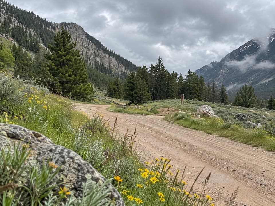
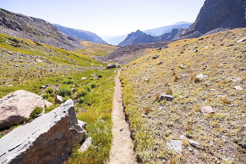
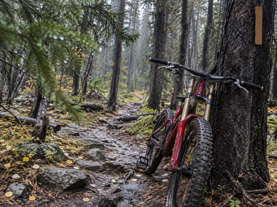
Ingles Creek Trail #35 is a 2.5-mile, one-way singletrack between Silver Run Plateau Trail #64 and Silver Run Trail #102. It drops about 1,370 feet, from roughly 8,230 feet at the #64 junction to about 6,860 feet at #102. The visible tread is narrow, rocky dirt under conifers. Allow about two hours for the segment itself; hiking the other way makes the same descent a sustained climb. This line is not a loop, so plan your return or a longer connection before you start.

Getting to the trailThe 35 endpoints are trail junctions, not vehicle trailheads.

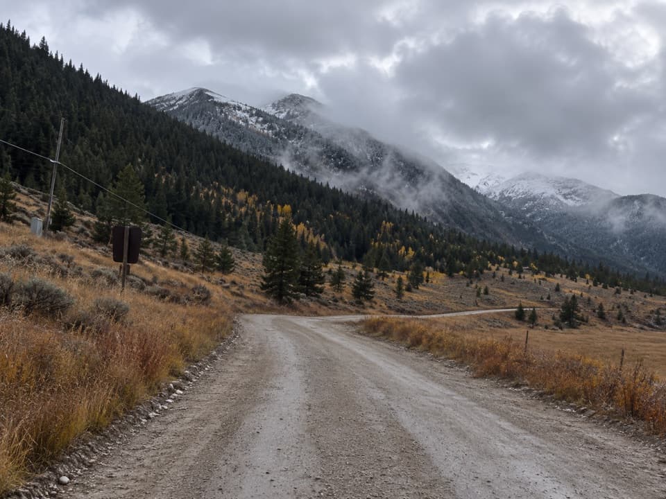
The #35 endpoints are trail junctions, not vehicle trailheads. To reach its south end, drive Forest Road 2476 to the Silver Run Plateau Trailhead and follow #64 for about 1.4 miles to the #35 junction. The Forest Service directions put that trailhead about two miles up #2476 from the Silver Run parking lot off West Fork Road; both lots have ample parking and a vault toilet. Forest Road 2476 is gated from December 2 to April 14 for winter recreation. The north end joins #102, so use a detailed trail map to plan the full route back to parking.

The longer plateau loopA separate about 7-mile loop links 35 with 64 and 102.

A separate about 7-mile loop links #35 with #64 and #102. That outing climbs through pine forest and alpine meadows to the exposed Silver Run Plateau, with about 1,780 feet of climbing and a high point near 8,200 feet; some route listings put it at 7.4 miles. Choose the loop for the plateau views, and follow a detailed map at the junctions. Mountain goats are possible higher up, not guaranteed. No trail-specific dog rule was confirmed, so check with the Forest Service before bringing a dog.

Wildlife

Wildlife in Beartooth Highway

All Beartooth Highway wildlife maps

Sighting maps show where each species has been reported across Beartooth Highway. Wildlife moves, so no sighting is guaranteed.

Keep exploring

Near Ingles Creek Trail #35

See it all on the map

Trails that start nearby

Places near the trailhead

Parkwolf’s Beartooth Highway ranking

Top-rated trails in Beartooth Highway

All 82 trails
  1. 1Glacier Lake TrailChallenging · 4.4 mi
  2. 2Beartooth Lakes LoopModerate · 7.8 mi
  3. 3Becker and Albino Lakes TrailModerate · 12.2 mi
  4. 4Beartooth Loop National Recreation TrailChallenging · 10.9 mi
  5. 5The Beaten PathChallenging · 26 mi
  6. 6Gardner Lake TrailModerate · 1.6 mi

Take Parkwolf to Beartooth Highway.

The audio tour guide for the drive, plus offline maps, trails, and wildlife heatmaps for when the signal drops.

4.7 from 8,600+ ratings

Download Parkwolf on the App StoreGet Parkwolf on Google Play