
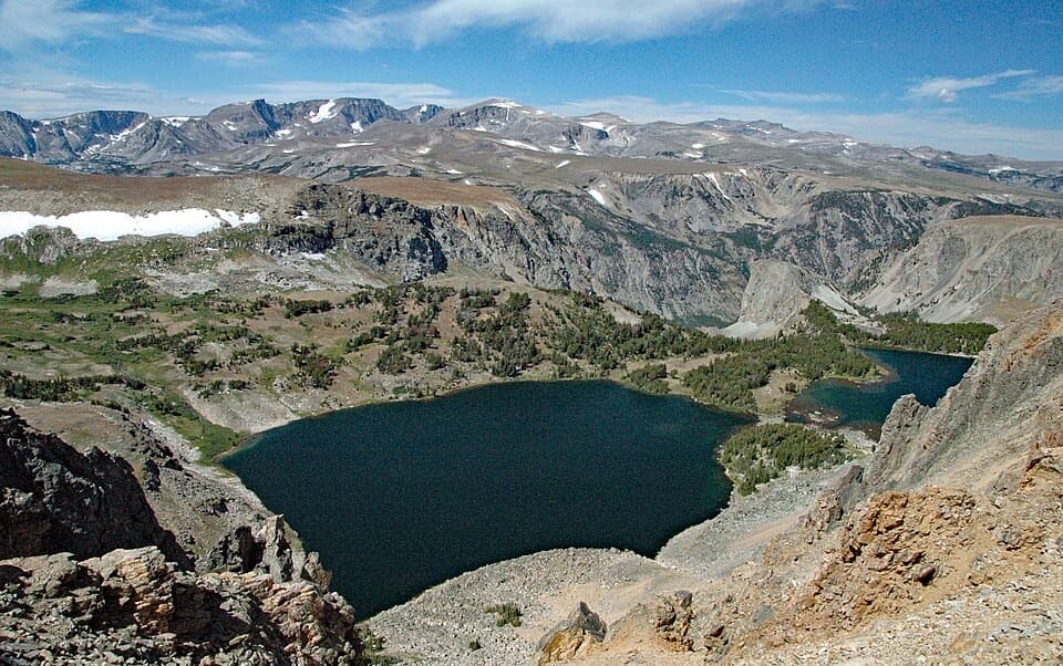
All Beartooth Highway trails
82 trails
 1Glacier Lake TrailA steep climb to an alpine lake tucked into the Beartooths.
 2Beartooth Lakes LoopA six-lake loop over high ridges and wildflower meadows.
 3Becker and Albino Lakes TrailA long lake-to-lake day ending beneath Albino’s granite cliffs.
 4Beartooth Loop National Recreation TrailA high-country loop joining Gardner Lake and the steep Beartooth headwall.
 5The Beaten PathA 26-mile crossing over lakes, waterfalls, and blasted granite ledges6Gardner Lake TrailA short lake walk with a steep climb back out.
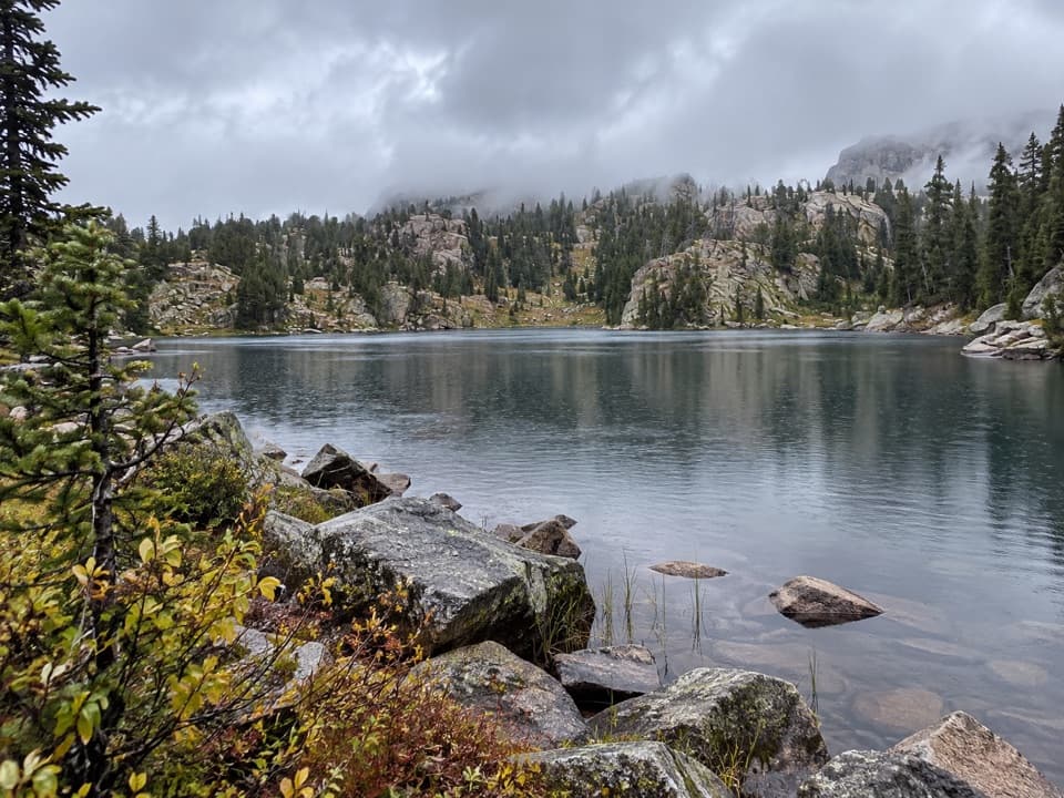 7Native Lake TrailA high alpine lake reached after meadows and 1,300 feet of climbing.
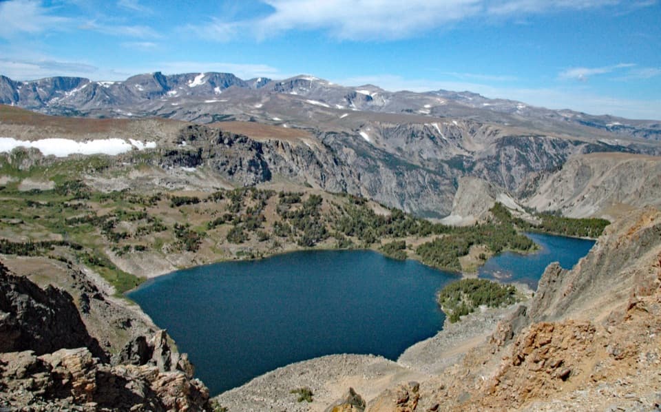 8Twin Lakes TrailA high-country descent to Twin Lakes, then a steep climb back.
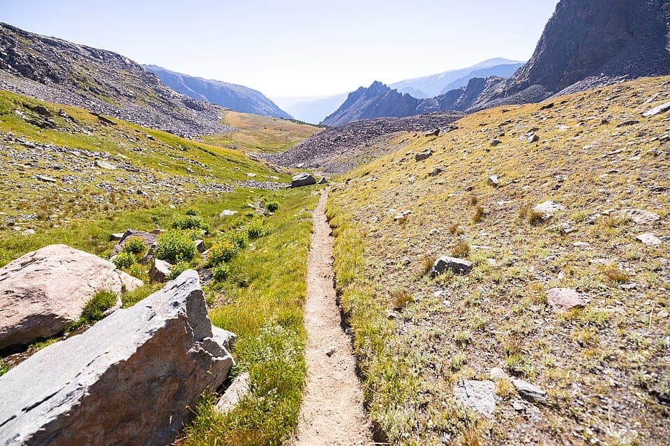 9Sundance Pass TraverseA full day over Sundance Pass, from lakes to wild creek.
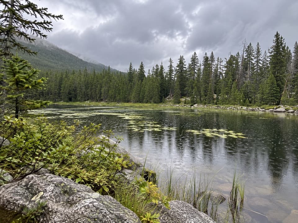 10Basin Lakes TrailTwo lakes and a waterfall reward a steady forest climb.
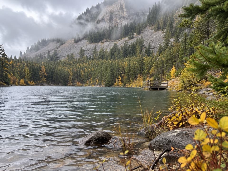 11Wild Bill Lake Trail #62A short lake loop with two accessible fishing docks.
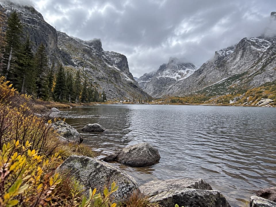 12Kersey Lake TrailAn easy three-mile return to a trout lake on the Beaten Path
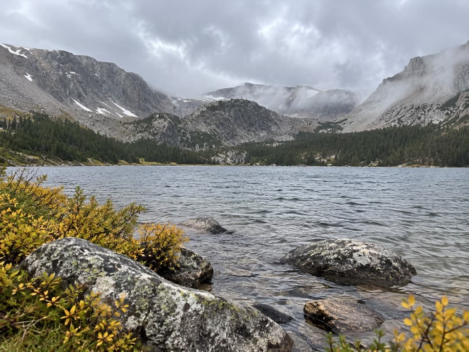 13Timberline Lake TrailTwo lakes below Silver Run Peak reward a long, steep climb.
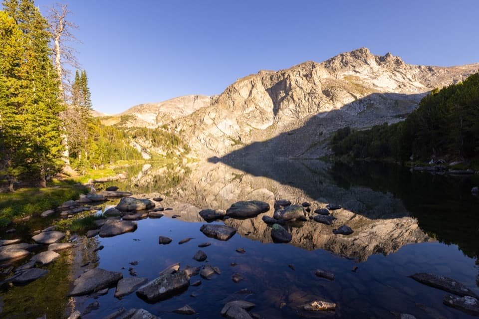 14Lake Fork Trail #2 to Sundance PassA long creekside climb from lakes to a high alpine pass
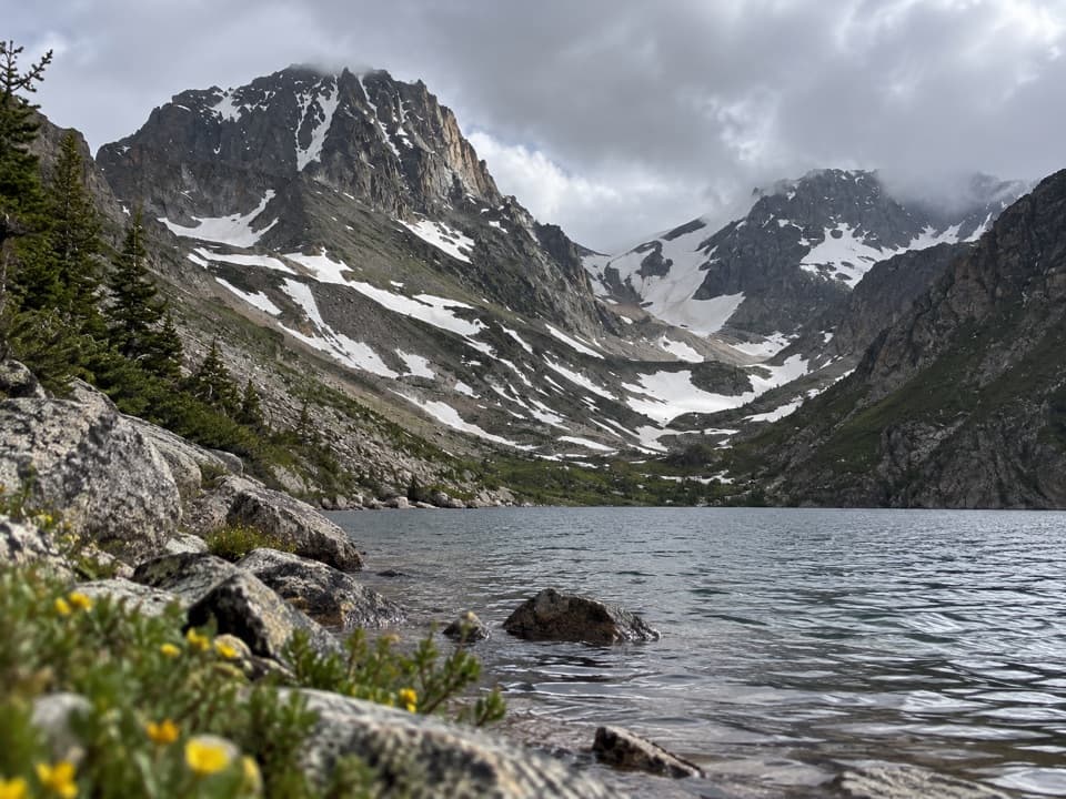 15Black Canyon Lake TrailA long wilderness hike to a turquoise lake and glacier views
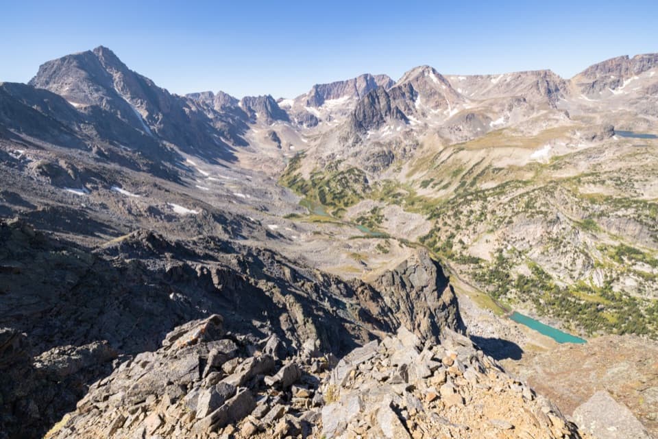 16West Fork Trail #1Waterfalls and alpine lakes lead to an 11,045-foot pass.
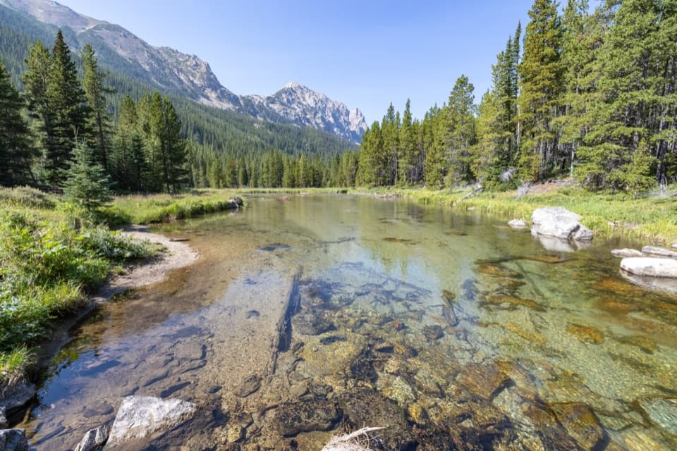 17Lost Lake Trail (Lake Fork)A long creekside out-and-back to a high lake beneath Peak 10,913.
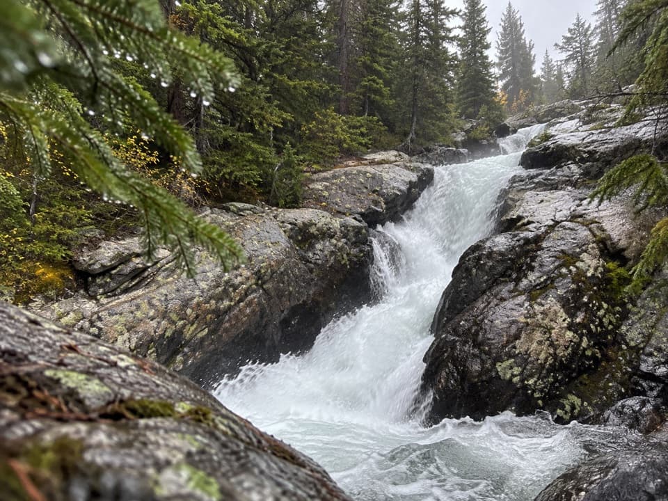 18Calamity and Sentinel Falls TrailTwo waterfalls, a creekside walk, and a long open stretch early.
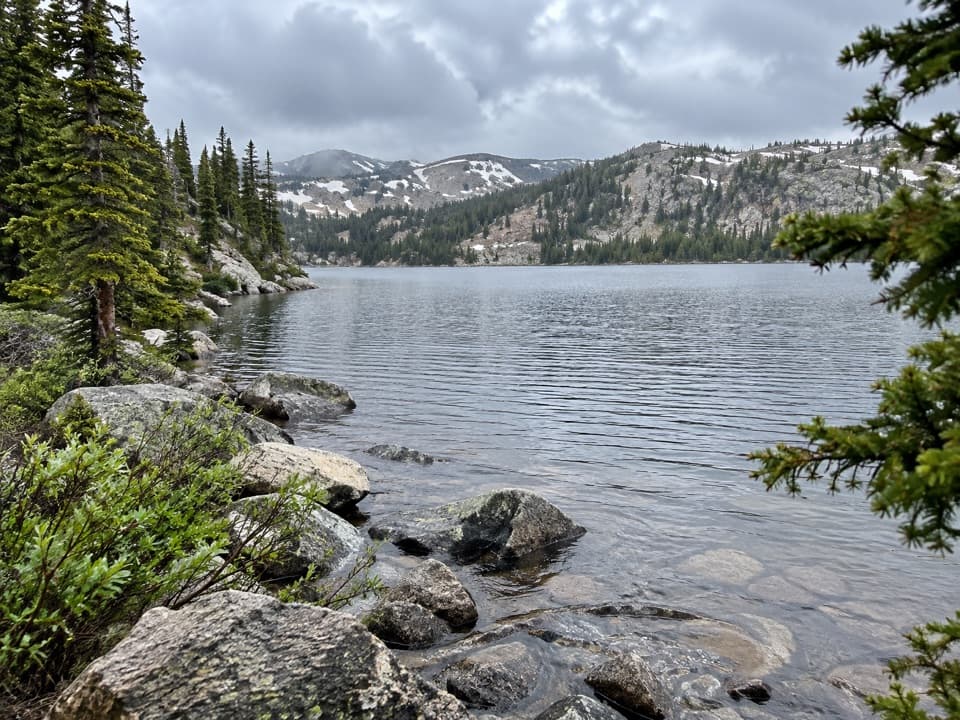 19Beauty Lake Trail #621A steady high-country climb leads to a reflective lake.
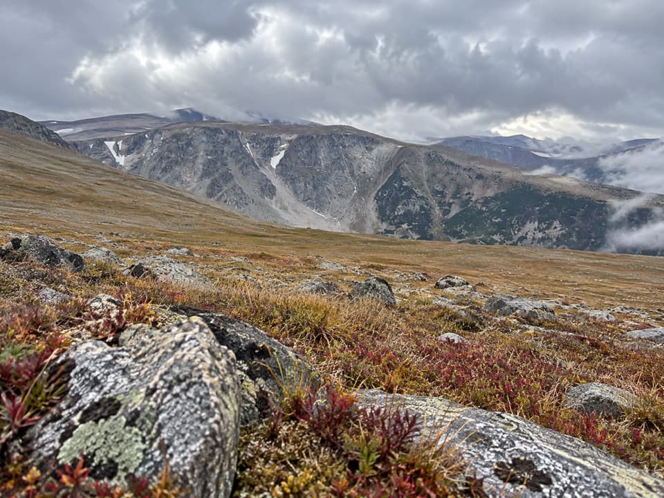 20Silver Run Plateau Trail via TimberlineAn 11.8-mile climb from Timberline Trailhead to alpine tundra.
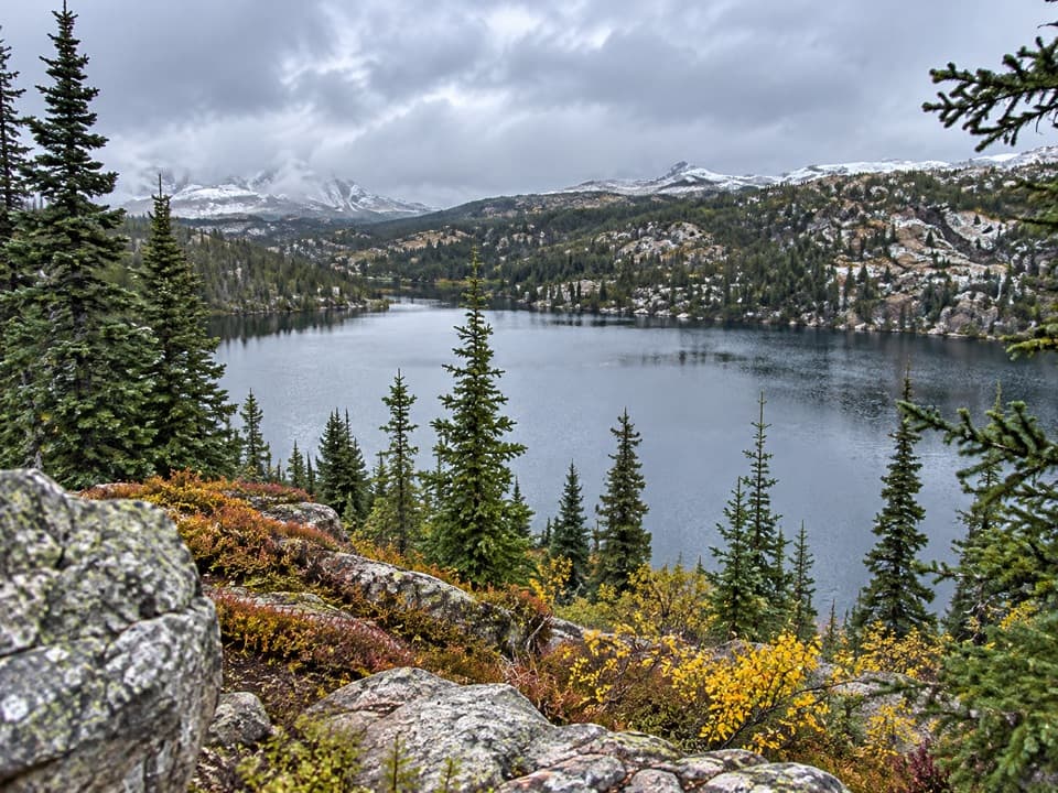 21Rock Island Lake TrailMarsh bridges, a Kersey overlook, and a high alpine lake.
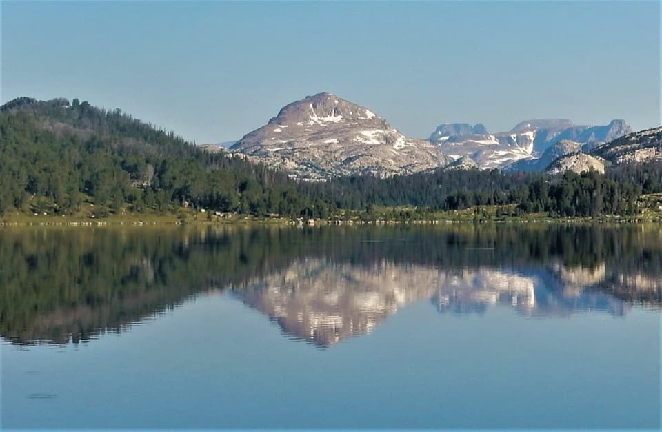 22Island Lake to Beartooth Lake TrailFive alpine miles, ten lakes and a shuttle between trailheads.
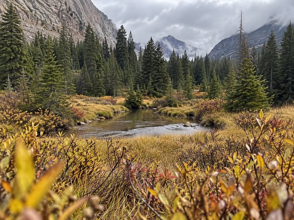 23Quinnebaugh Meadows TrailWaterfalls break up the long walk to a flower-filled meadow.24Beartooth High Lakes TrailNine miles of alpine lakes, granite benches and big plateau views
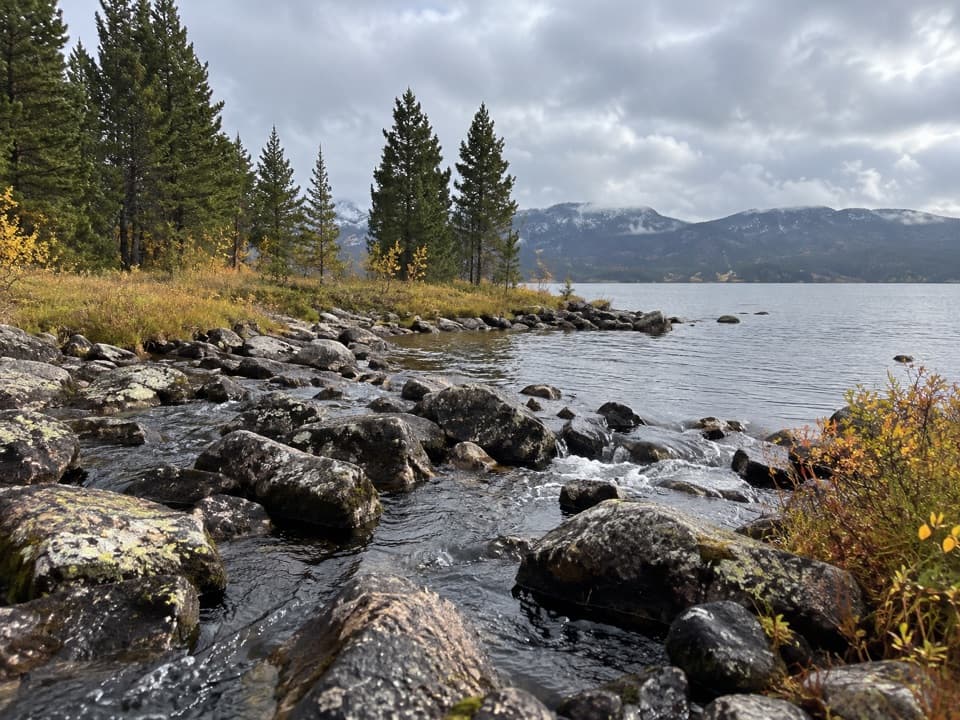 25Island and Night Lakes TrailTwo alpine lakes on an easy, high-altitude walk off the highway.
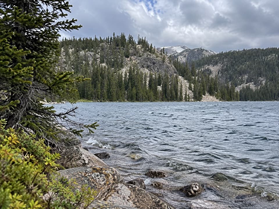 26Lady of the Lake Trail #31A creek bridge and old cabin lead to an alpine lake.
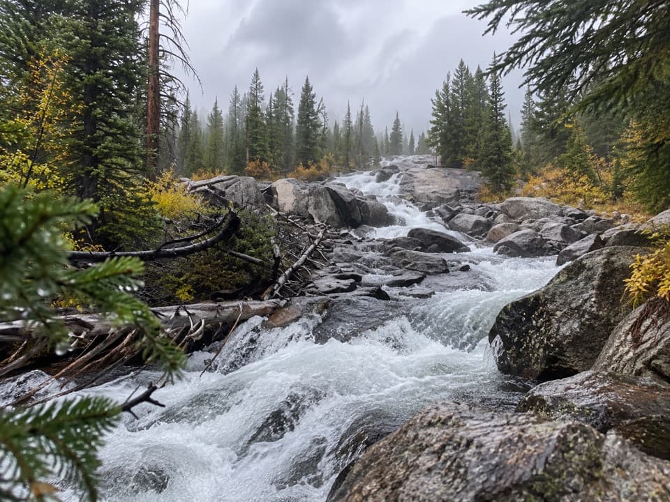 27Crazy Creek Falls TrailA quick walk to a cascade that changes with the season.
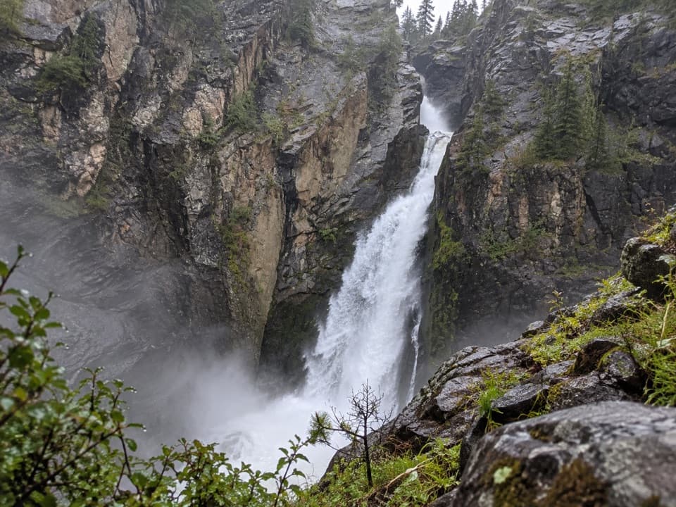 28Woody Falls TrailThree tiers of waterfall reward the short uphill walk.
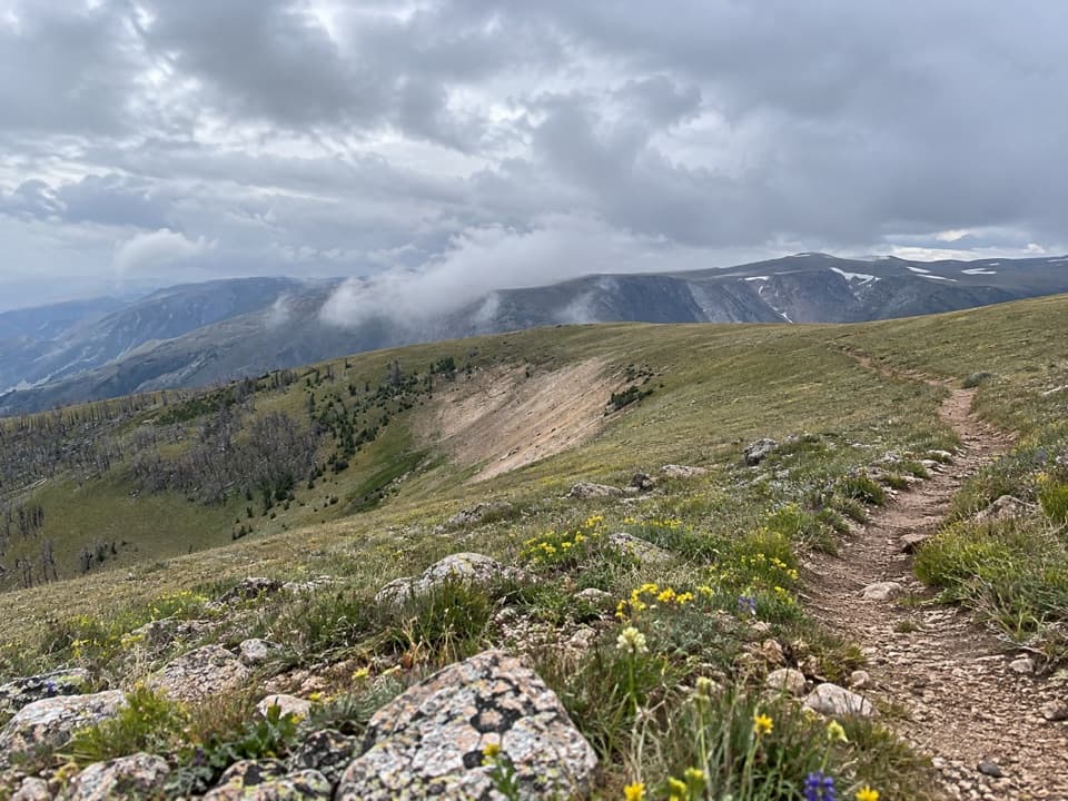 29Line Creek Plateau TrailA long, exposed crossing over open alpine tundra.
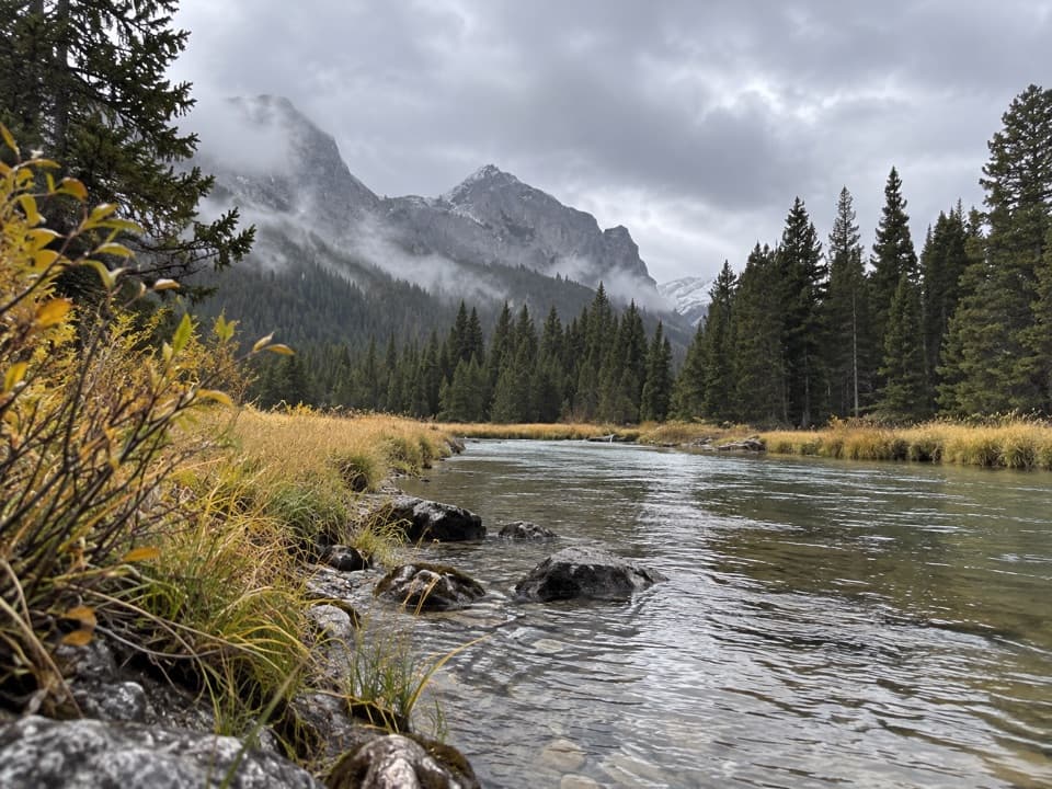 30Keyser Brown Lake TrailA long creekside walk to a high, quiet alpine lake.
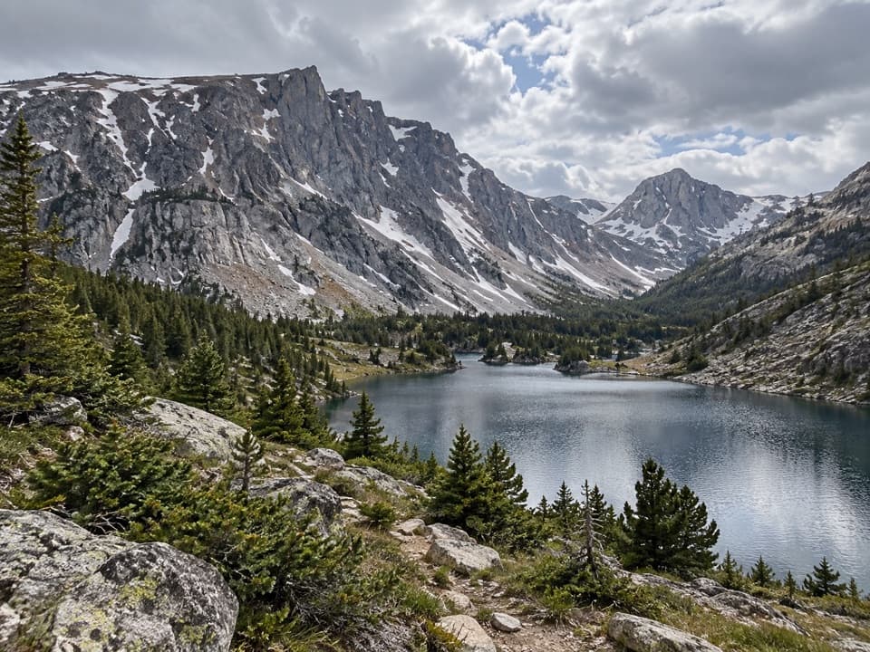 31Lake Mary Trail #1BLong West Fork climb to two high lakes above the valley.
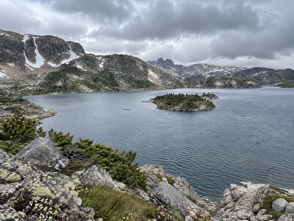 32Lower Aero Lake TrailA long climb to an island-studded lake beneath sharp alpine peaks
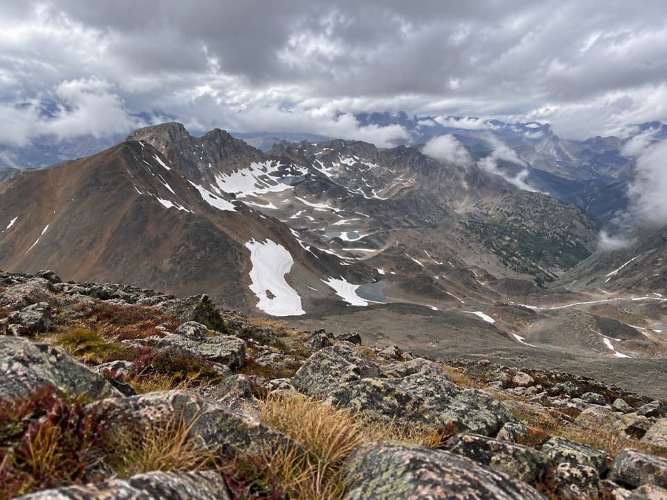 33Grasshopper Glacier TrailHigh-country ridge hike with alpine lakes and a 1914 locust mystery.
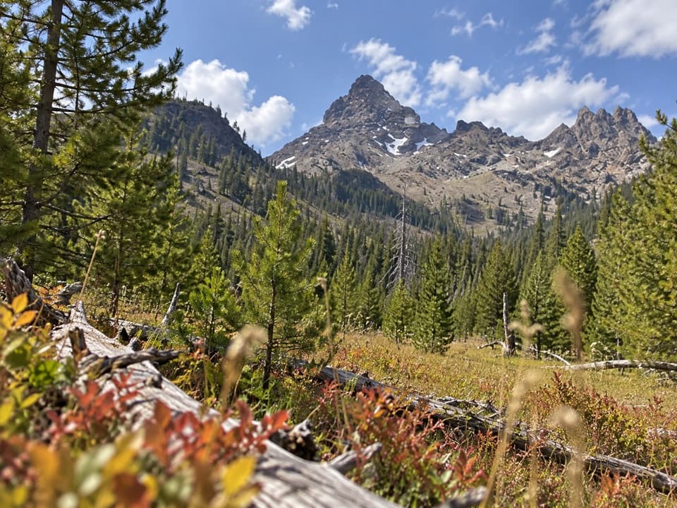 34Pilot Creek TrailA long creekside climb to falls, crags, and a grassy meadow.
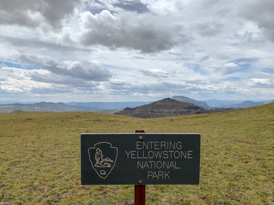 35Republic Creek TrailA creekside climb reaches the grassy edge of Yellowstone.
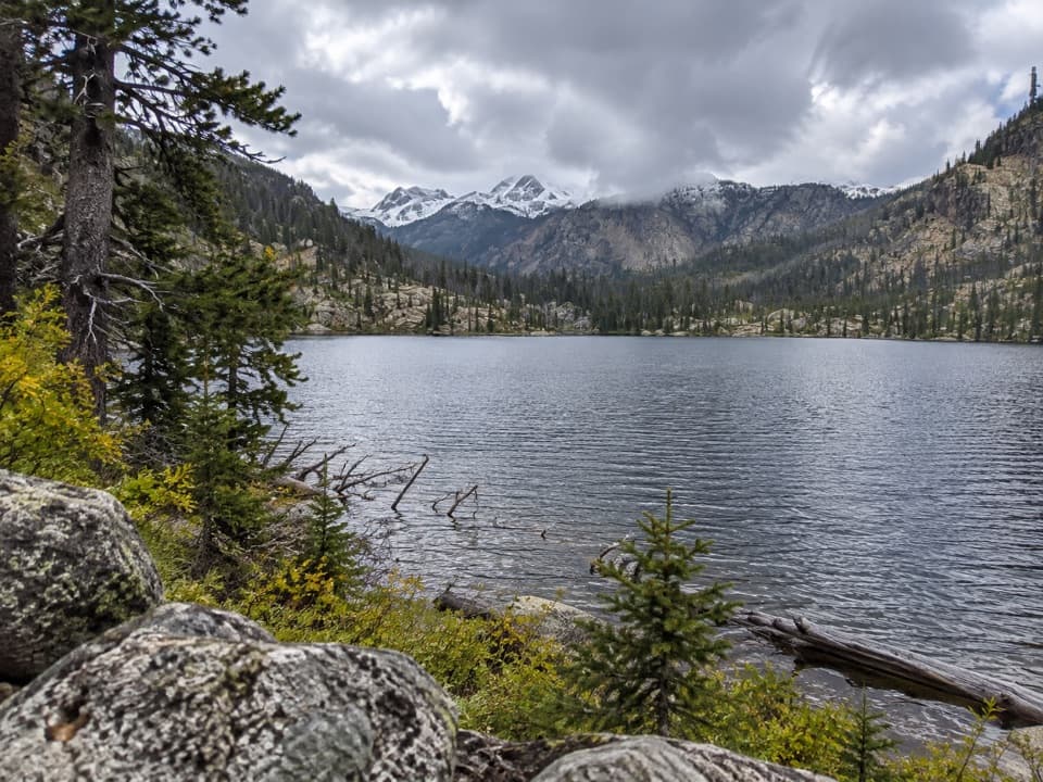 36Broadwater River to Curl Lake TrailMarshy meadows and a rough final approach to Curl Lake
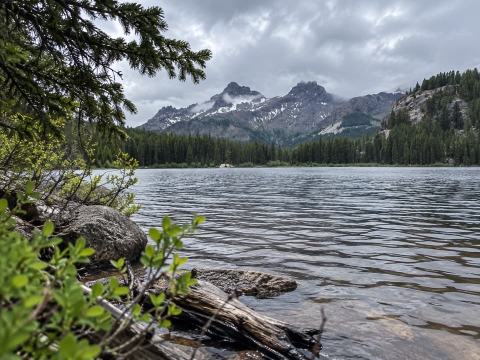 37Vernon Lake TrailA lake payoff after one muddy, buggy mile at Clarks Fork.
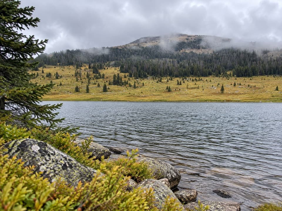 38Hauser, Stockade and Losekamp Lakes TrailThree high-country lakes make the extra walking count.
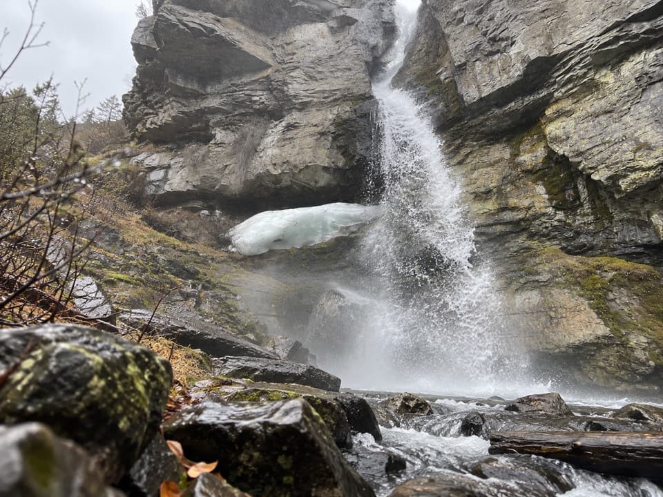 39Bridal Falls TrailA 40-foot cascade drops through a narrow granite cleft.
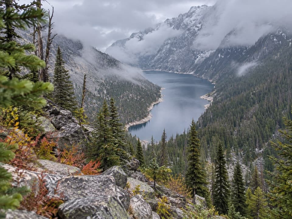 40Deep Lake TrailA hard 15-mile descent and climb to a cliff-ringed alpine lake.41Broadwater Lake via Lake Fork TrailA creekside ramble ends in Broadwater's open mountain meadows.
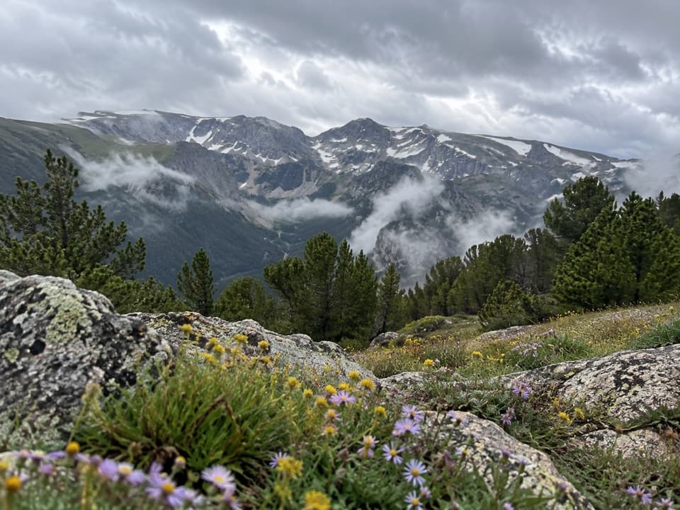 42Hellroaring Plateau TrailFollow an old road to a talus overlook above Shelf Lake.
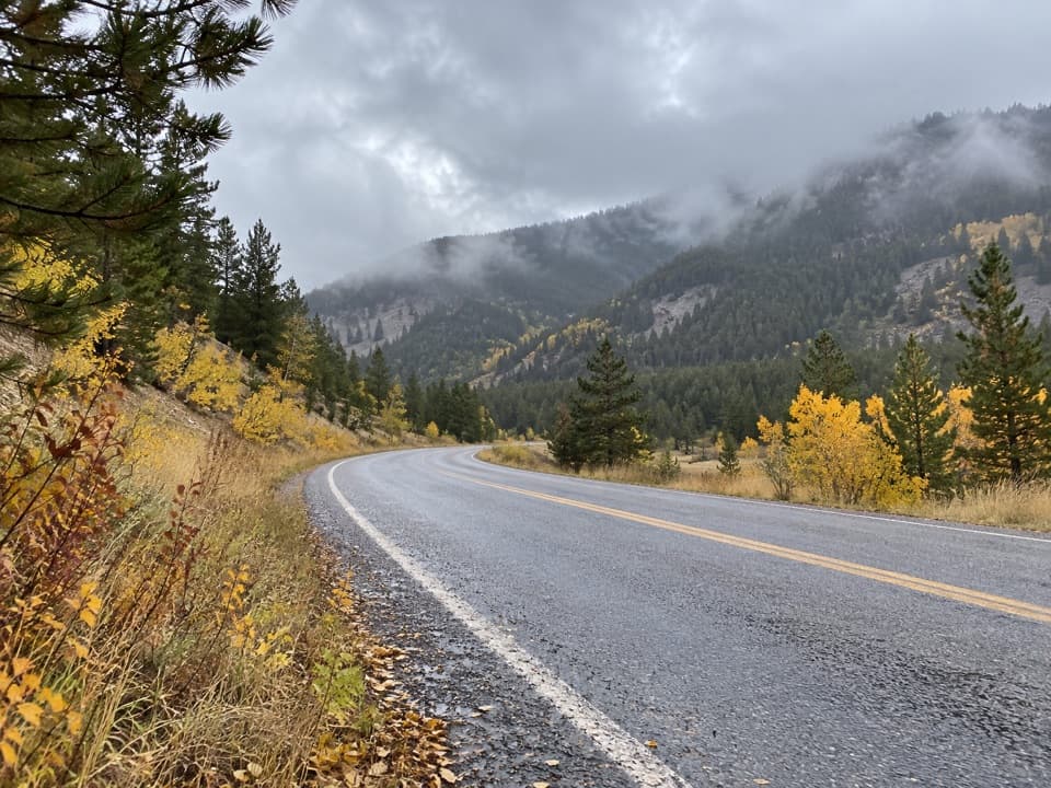 43Silver Run Trail #102 (Full Loop)A five-mile multiuse loop beside West Fork Rock Creek.44Russell Creek TrailA full-day high-country climb to Fossil Lake and back.
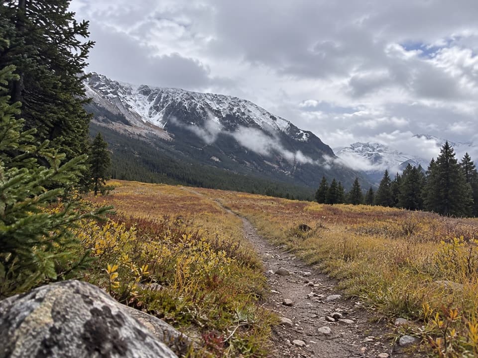 45Parkside Trail #103A gentle walk through pine woods and meadows between two campgrounds.
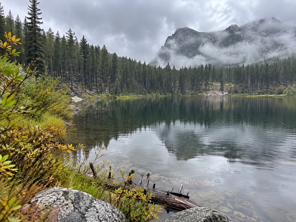 46Greenough Lake Trail #103.1A quick, gentle walk to a Beartooth lake.
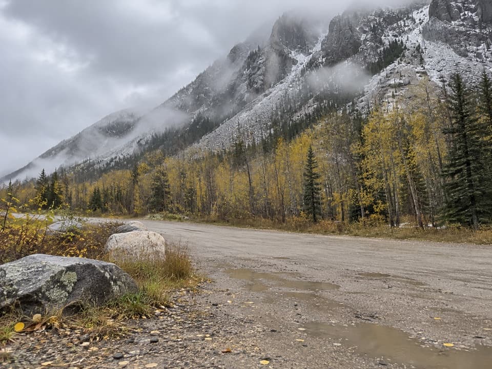 47Camp Senia Trail #16A long climb to a high-country junction and wilderness connections.
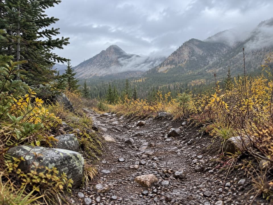 48Bear Track TrailA hard 12.5-mile climb across Silver Run Plateau into wilderness.
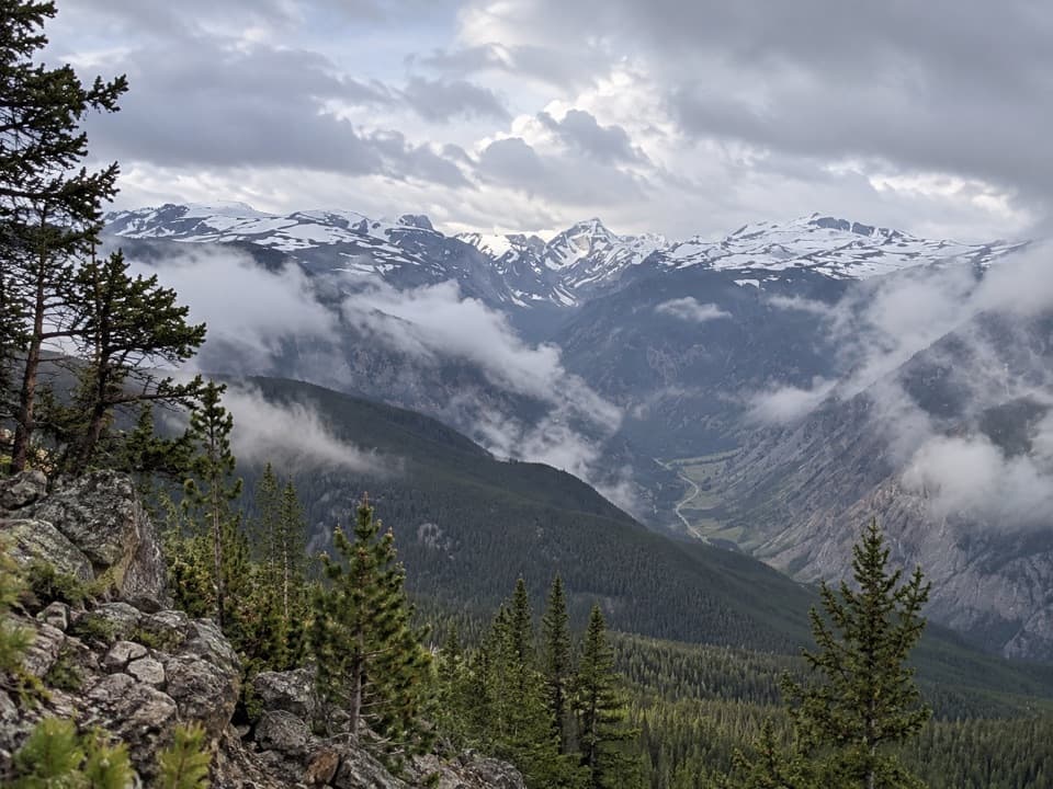 49Mount Maurice TrailThe climb keeps going beyond Line Creek Plateau.
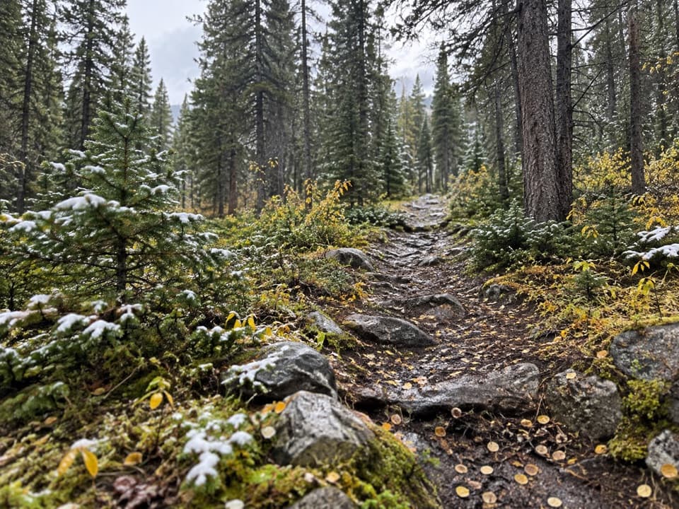 50Corral Creek Trail #9A steep climb reaches the headwaters and a five-foot cairn.
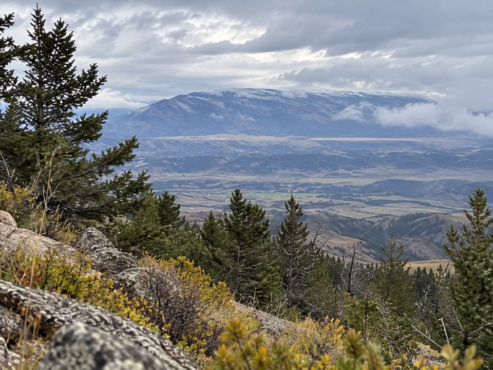 51Face-of-the-Mountain Trail #7Old highway grade gives way to a remote Line Creek Plateau traverse.
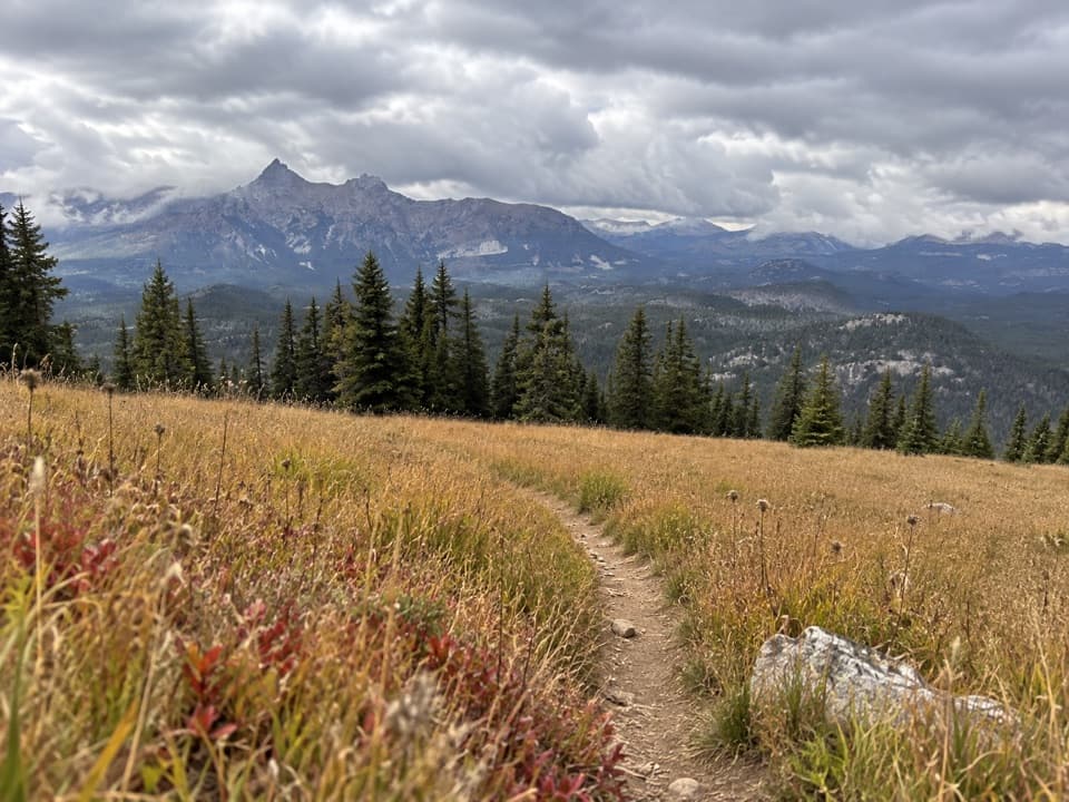 52Clay Butte Trail #614Open meadow, high-country creeks and a junction with Trail #620.
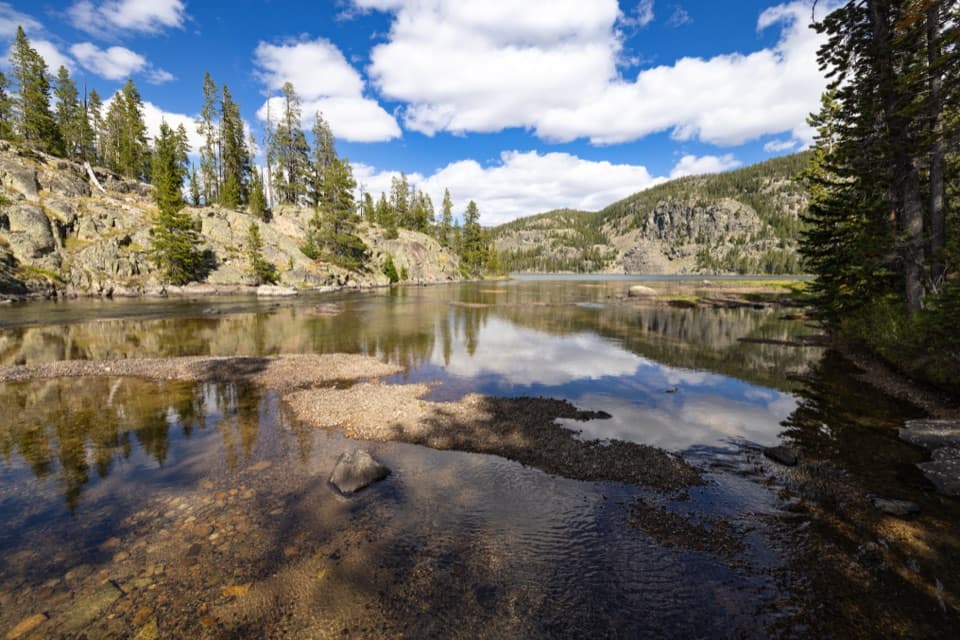 53Granite Lake Trail via Clay ButteA 10-mile out-and-back to a 228-acre high-country lake.
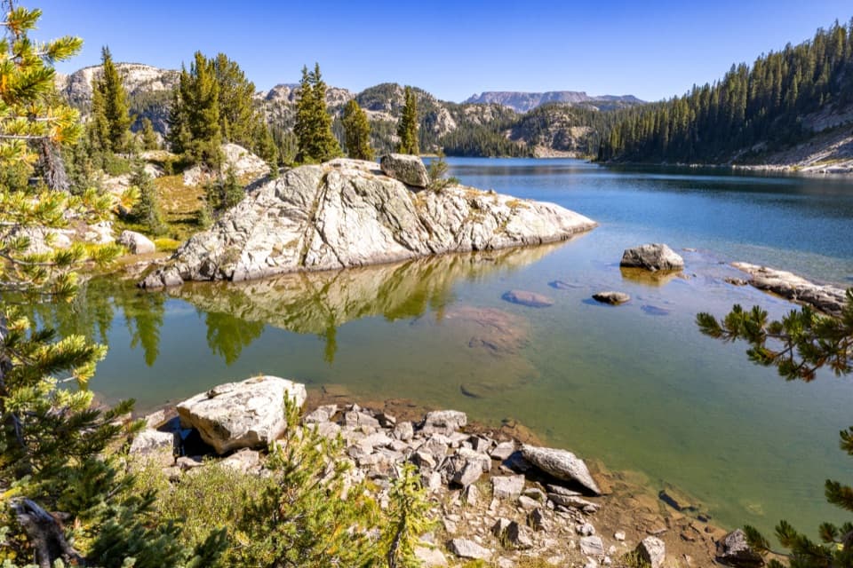 54High Beartooths Lakes LoopA full-day circuit linking alpine lakes above 8,700 feet.
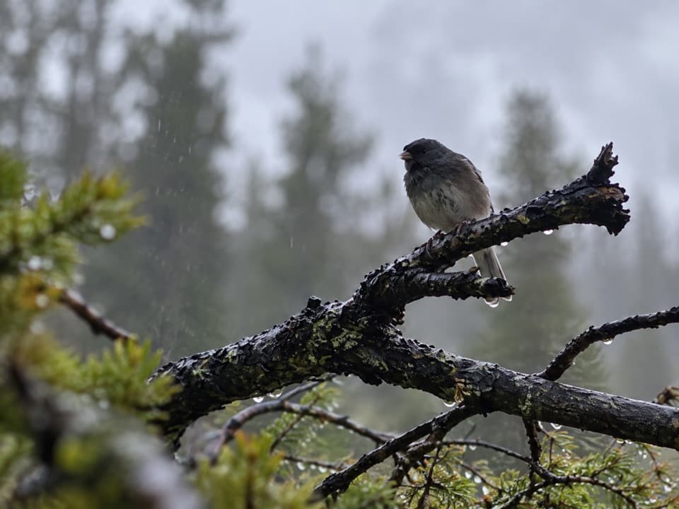 55Big Moose Lake TrailA high-country lake at the end of a three-mile mountain trail.
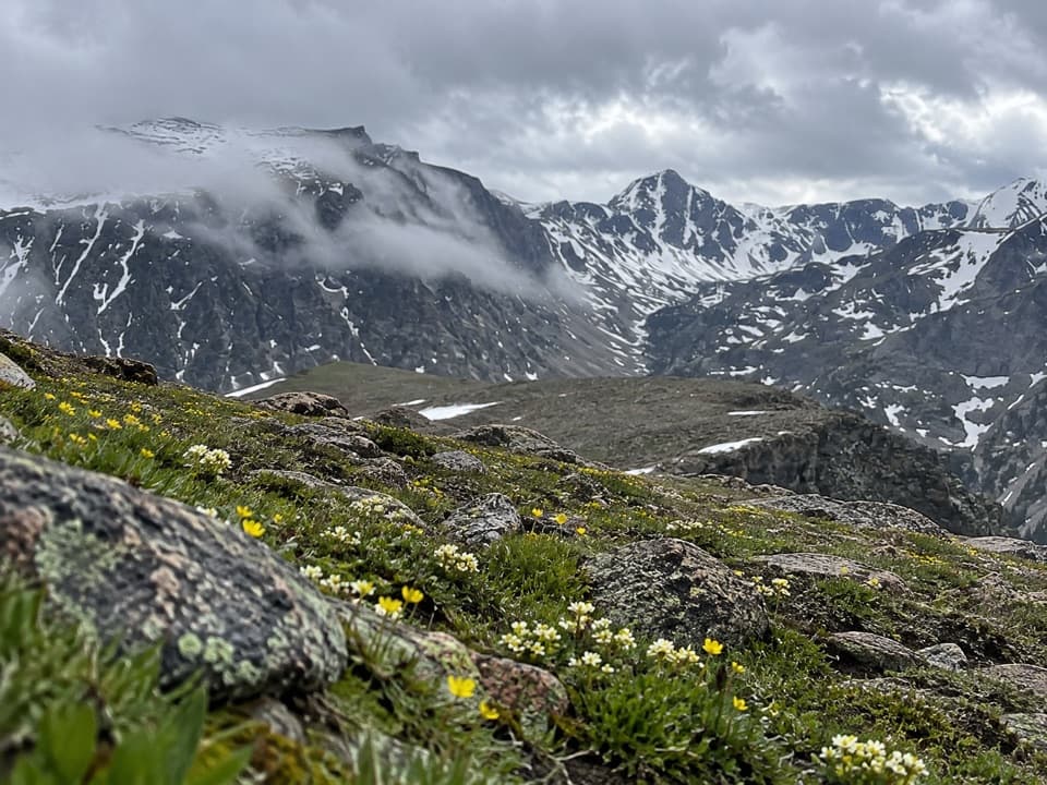 56East Rosebud–Camp Senia TrailA hard alpine crossing links West Fork with East Rosebud Campground.
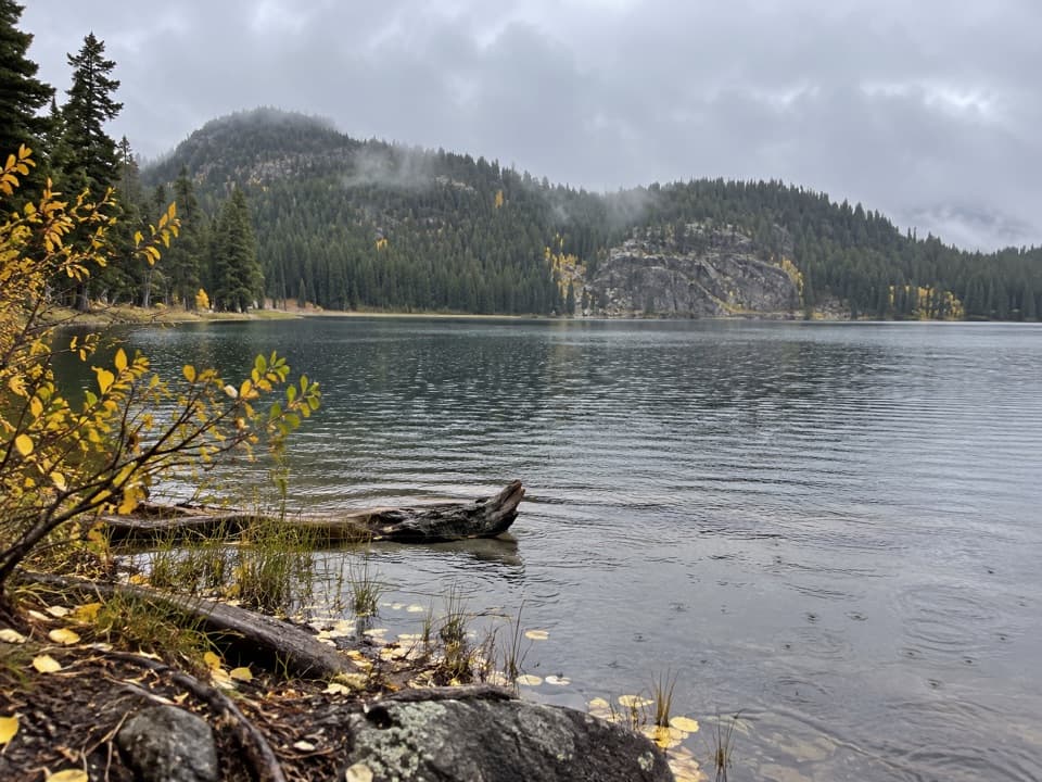 57Fox Lake TrailA high-country trout lake rewards the long walk from the highway.
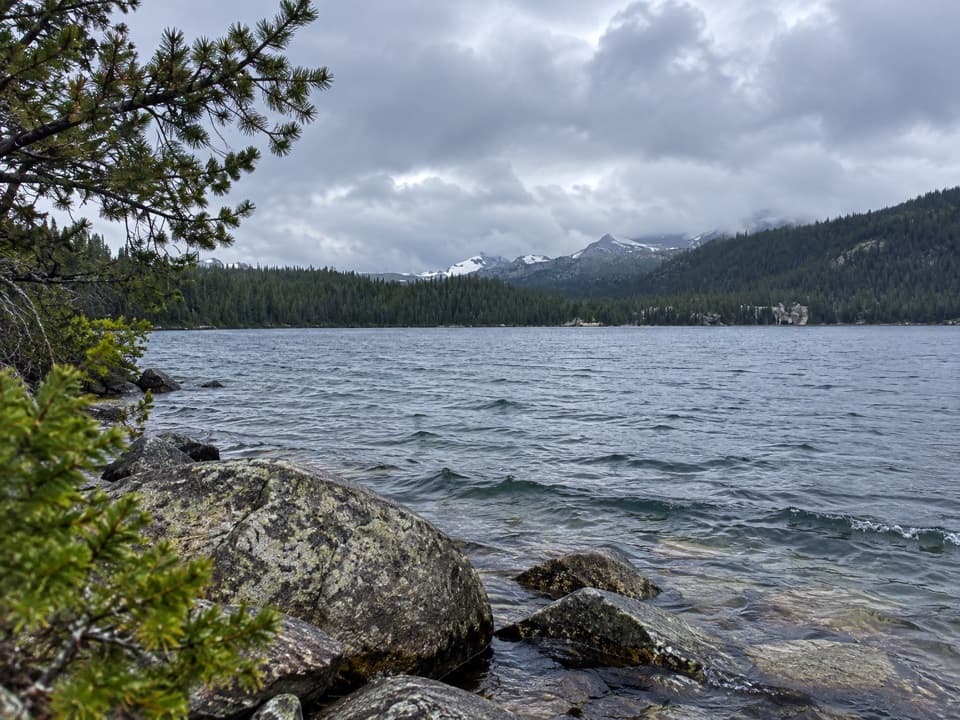 58Widewater Lake TrailA long walk at 8,000 feet to a large trout lake.
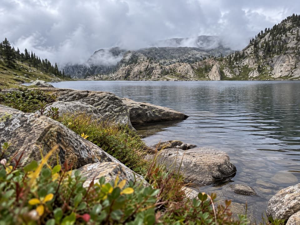 59Mariane Lake TrailLong, high backcountry miles lead to a rocky alpine lake.
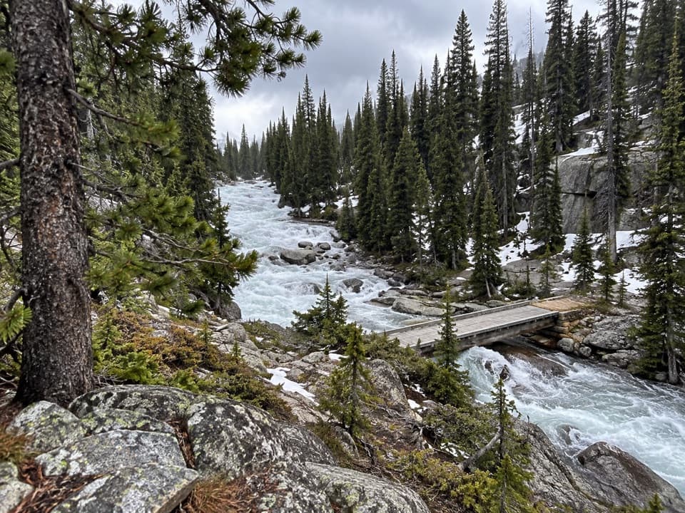 60Otter Lake TrailA long high country walk to a remote trout lake.
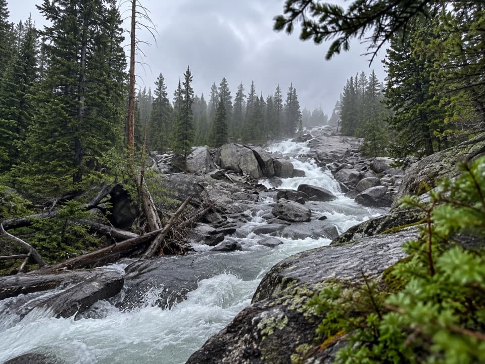 61Lake Reno TrailA long wilderness climb reaches Lake Reno
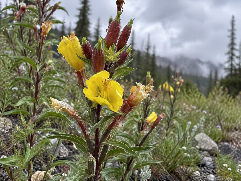 62Lost Lake Trail #617A steep climb through high country ends beside a lake.
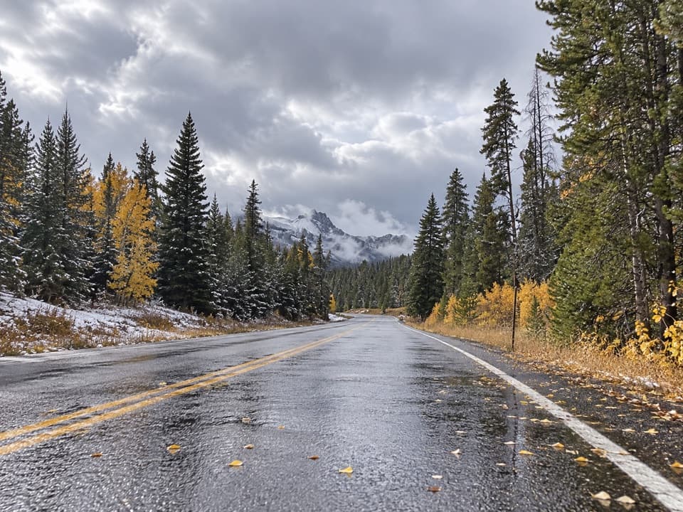 63Crazy Creek Trail #568A long climb from US 212 into Beartooth lake country.
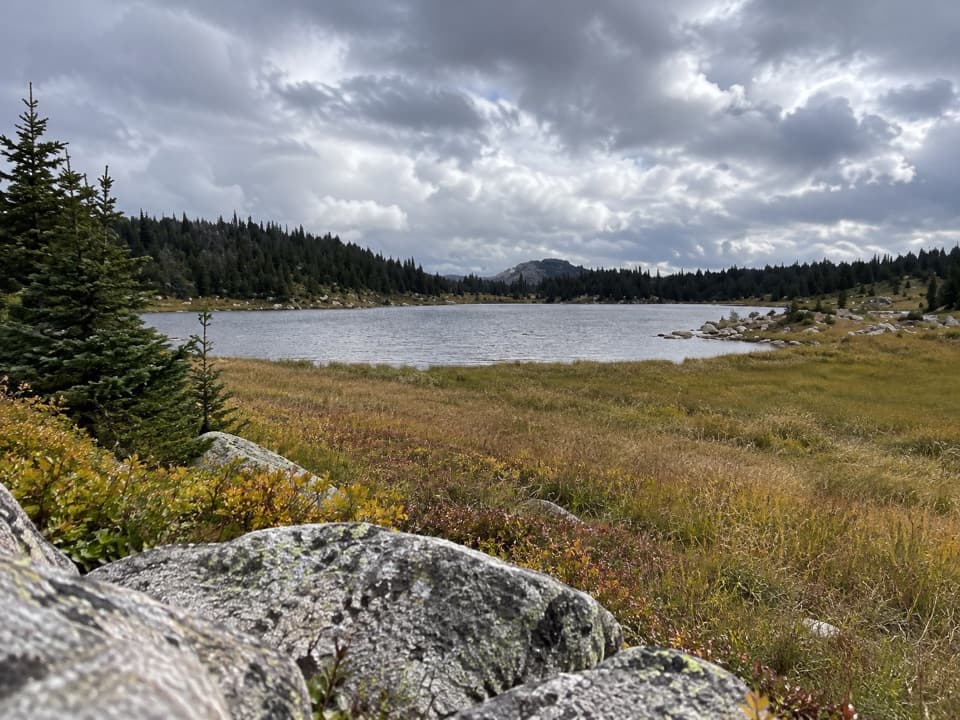 64Dollar Lake TrailFaint alpine tread links Top and Dollar Lakes.
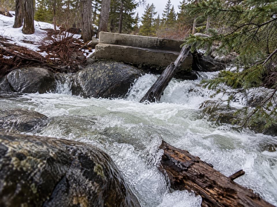 65Lower Lake Fork Trail #2AA creekside link to Lake Fork's longer high-country hikes.
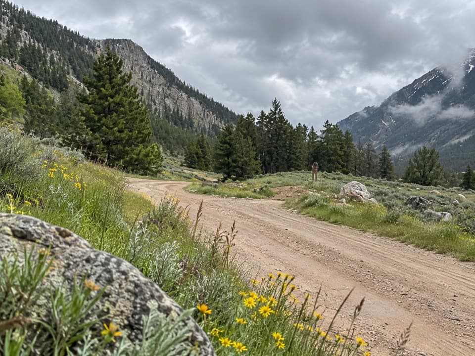 66Lower Parkside Trail #106A rough creekside climb between two Rock Creek drainages.
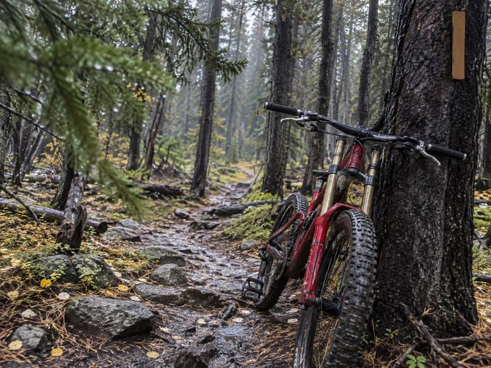 67Ingles Creek Trail #35A steep 2.5-mile descent links two Silver Run trail branches.
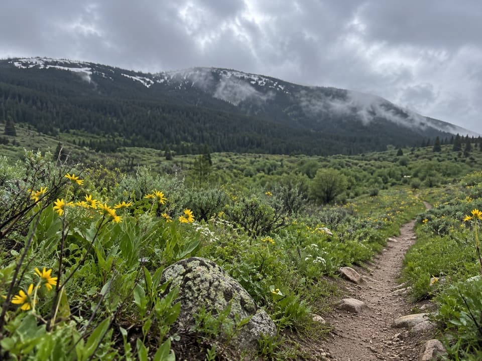 68Palisades Trail #109A 7-mile out-and-back with a Fox Road turnaround
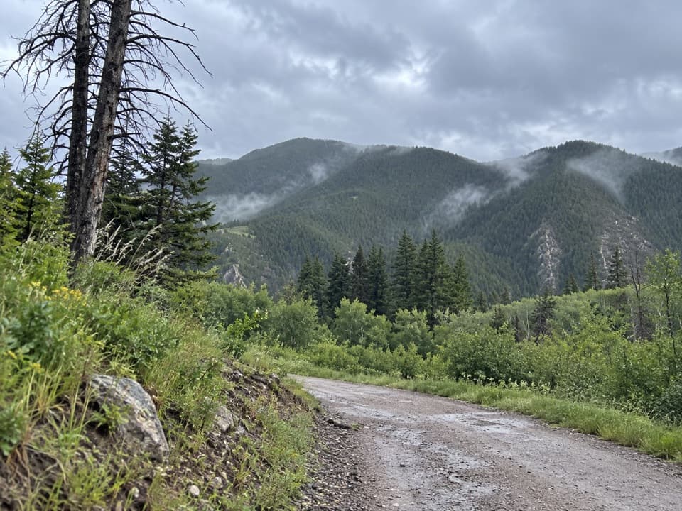 69Nichols Creek TrailA meadow approach turns into a long climb through pines.
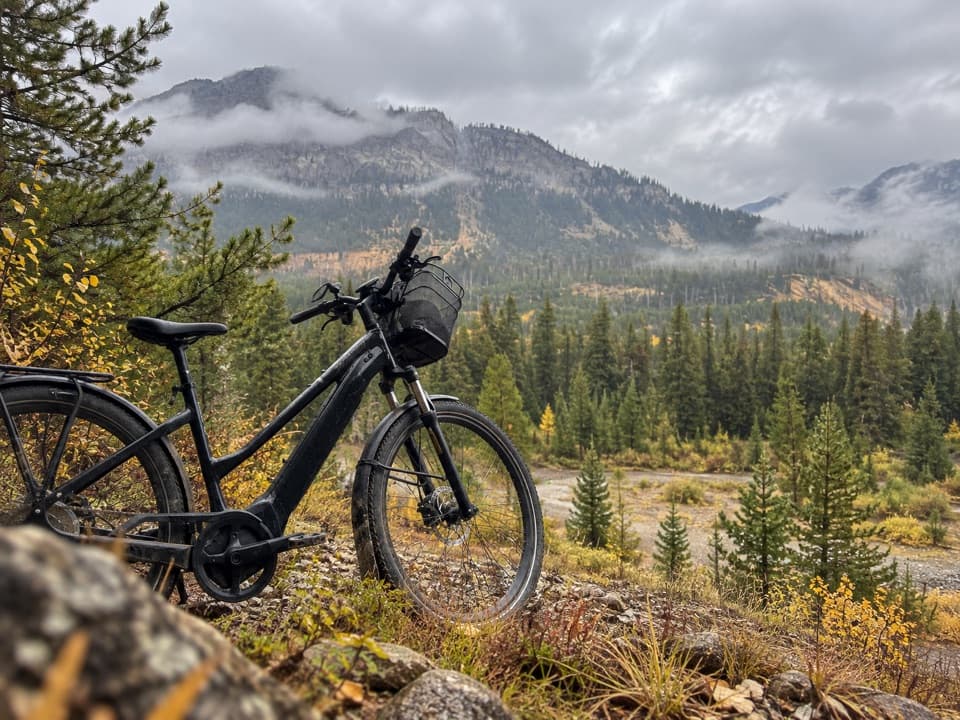 70Bannock TrailA mellow road walk linking Silver Gate and Cooke City.
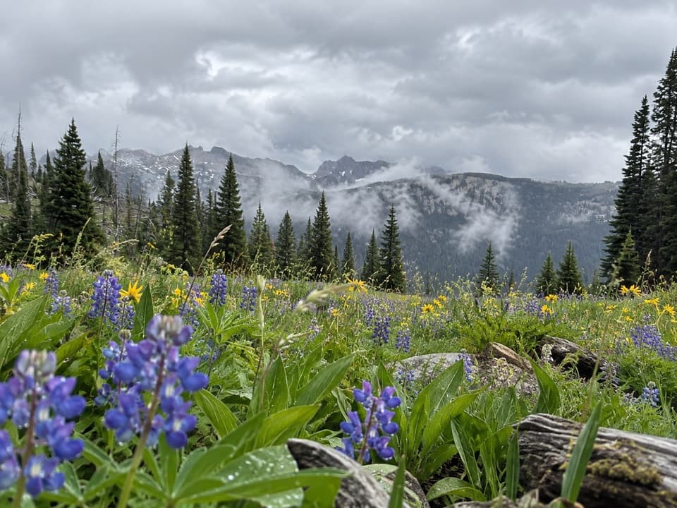 71Lost Wolverine Trail #113A high-country traverse to Wolverine Pass through wildflower meadows.
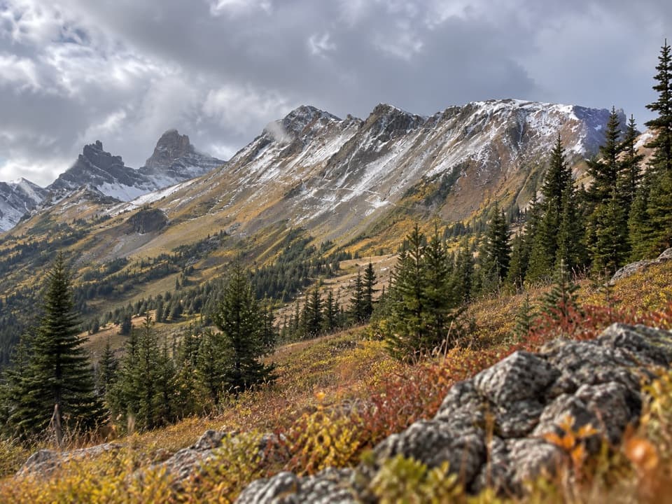 72Henderson Mountain Trail #579A short, high-country walk above Cooke City.
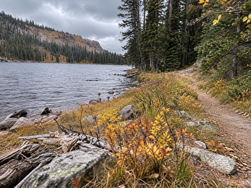 73Stillwater Trail #24A 26-mile wilderness traverse links Lake Abundance with Nye.
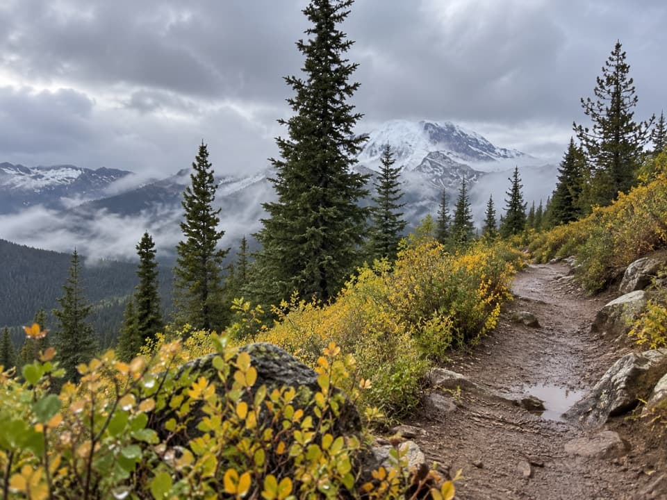 74Sheep Creek Basin Trail #576A high-country climb to a basin above 9,000 feet.
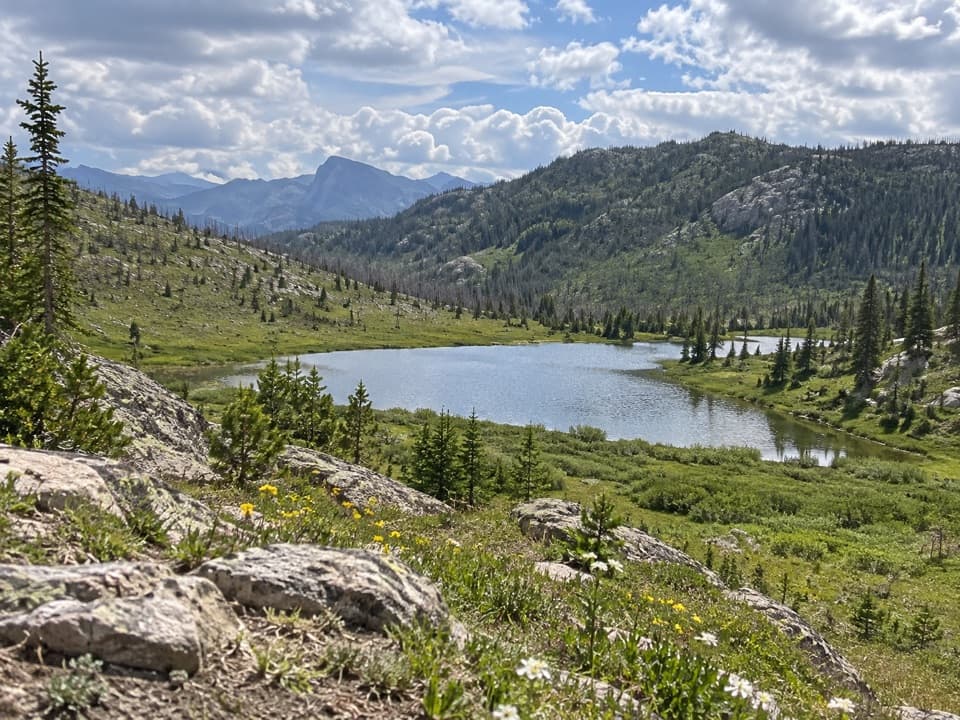 75Lake of the Woods Trail #34A remote cutthroat lake rewards a long wilderness approach.
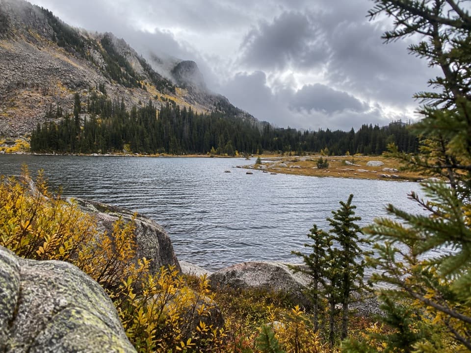 76Horseshoe Lake via Lake Creek TrailA long backcountry route reaches a high Horseshoe Lake.
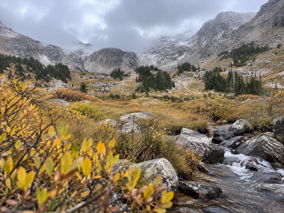 77Zimmer Creek Trail #574A steep creekside climb to a high alpine lake.
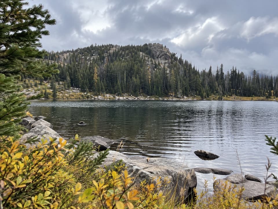 78Companion Lake TrailA high alpine lake at the end of a long forest approach.
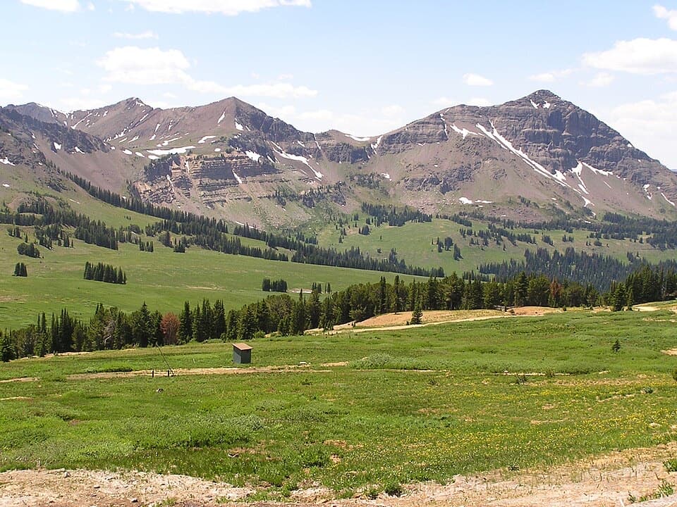 79Black Warrior Trail #578A rough-track climb from Miller Creek Road to near Daisy Pass.
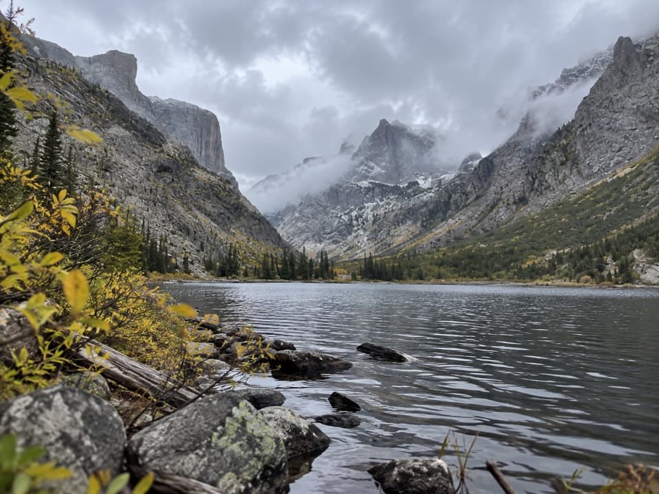 80Crow Lake via Camp Senia TrailA long backcountry climb to Crow Lake's granite cirque.
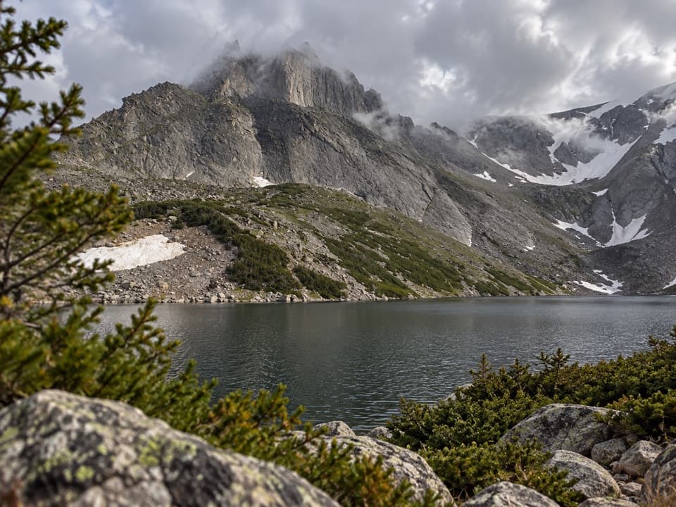 81Sylvan Lake via Camp Senia TrailA high-country out-and-back to Sylvan Lake via Camp Senia.
 82Soda Butte Creek TrailA short historic-route walk on gravel east of Cooke City.

The highest, rockiest slopes around here are a summer buffet for grizzly bears.
Beartooth Highway Tour Guide
Beartooth Highway, narrated.
Parkwolf is a GPS audio tour guide for Beartooth Highway. As you drive, it chimes in with what’s ahead: hidden gems, upcoming stops, history, geology, and wildlife, right through your car’s speakers.
See the Beartooth Highway audio tourRecorded for this place
Beartooth Pass Vista0:00 / 0:29
“You're approaching Beartooth Pass Vista, the highest point on the highway at ten thousand nine hundred forty-seven feet. This is a stop I'd keep even if you're only getting out at a few places.”
Plays as you drive up to Beartooth Pass Vista in the Parkwolf Beartooth Highway Tour Guide.
More stories near here in the app
- The Bird That Plants Pines
- Why Alpine Plants Stay Small
- A Marmot's Short Summer
- Gardner Lake Overlook
- 62 audio storiesacross Beartooth Highway’s roads, triggered by GPS as you drive
- Wildlife heatmapsfor Grizzly Bear, Gray Wolf, Bison, and 13 more
- Works offlinemaps, 82 trails, 36 places, and audio download before you lose signal
- CarPlay readysimple controls built for the drive
“Fantastic app with many points of information… It’s great to just turn on while you’re driving and it gives you an audio tour of the national Park. We love it!!!!”

