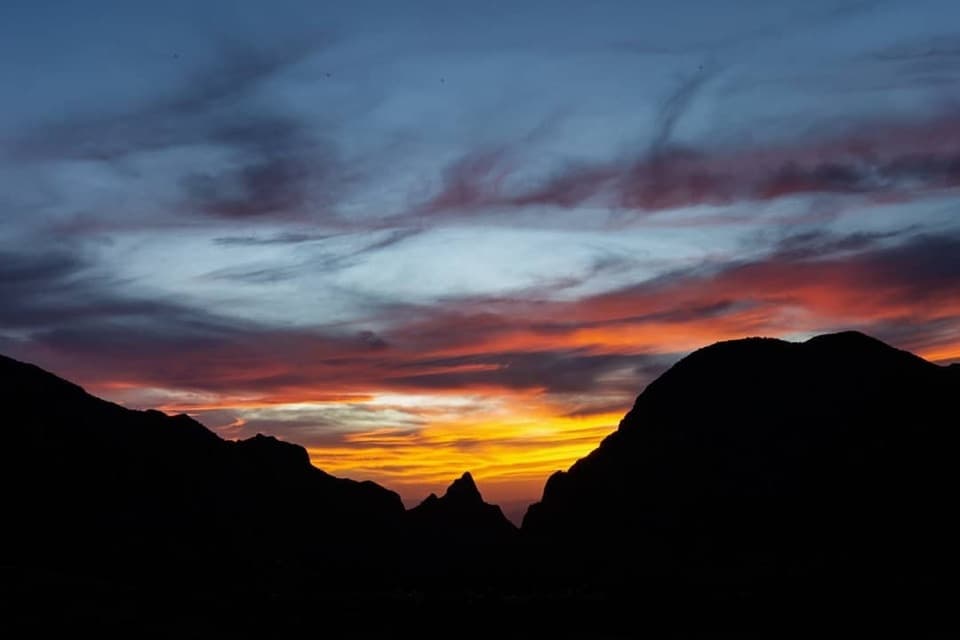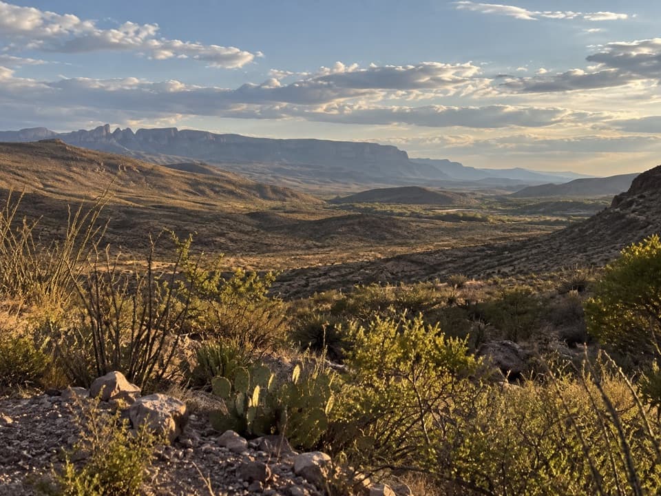
Rio Grande Overlook in Big Bend National Park

Sight · Big Bend National Park

Rio Grande Overlook

A short climb to Sierra del Carmen and Dead Man’s Curve.

Type
Sight
Nearest trail
2 mi
Audio stories
8 nearby
  • Parking
  • Scenic viewpoint
  • Exhibit
  • #22 of 45 sights

Hear the audio tour

Rio Grande Overlook

Overview

About Rio Grande Overlook

Why stop

  • The Sierra del Carmen view and several unusual geology panels.

Heads up

  • Cottonwoods often block the Rio Grande view its name suggests.

Map

Where it is

Loading the Big Bend map
Full map
SightRio Grande Overlook29.20158, -102.97507
Keep this map with you offline in the Parkwolf app

Plan your stop

Before you go

2 active Big Bend alerts

  • ClosureWeather-related road closuresDo not use these closed roads; NPS lists the closures as in effect until further notice.Official details
  • InfoBoquillas Crossing schedule changeBoquillas Crossing is open Friday through Monday, 9:00 a.m.–4:00 p.m.; NPS says it will not change to winter hours at this time. Check current park conditions before planning a crossing.Official details

Big Bend alerts
A park ranger sits on a dash-mounted phone, talking, as Parkwolf’s Tour Guide plays “Army Cutworm Moths: A Grizzly Bear Buffet” on Grand Loop Road below Dunraven Pass in Yellowstone
Parkwolf Tour GuideThe highest, rockiest slopes around here are a summer buffet for grizzly bears.

Big Bend Tour Guide

Your drive to Rio Grande Overlook, narrated.

Parkwolf is a GPS audio tour guide for Big Bend National Park. As you drive, it chimes in with what’s ahead: hidden gems, upcoming stops, history, geology, and wildlife, right through your car’s speakers.

See the Big Bend audio tour

Recorded for this place

Rio Grande Overlook
0:00 / 0:24
“Rio Grande Overlook lies ahead, with a short uphill walk to a view of the Sierra del Carmen and the green floodplain.”

Plays as you drive up to Rio Grande Overlook in the Parkwolf Big Bend Tour Guide.

More stories near here in the app

  • Ernst Tinaja via Old Ore Road
  • The Kingfisher on the Low Branch
  • Daniels Ranch
  • Rio Grande Village Visitor Center and Store
  • 110 audio storiesacross Big Bend’s roads, triggered by GPS as you drive
  • Wildlife heatmapsfor Black Bear, Collared Peccary, White-tailed Deer, and 13 more
  • Works offlinemaps, 45 trails, 64 places, and audio download before you lose signal
  • CarPlay readysimple controls built for the drive
★★★★★
“Fantastic app with many points of information… It’s great to just turn on while you’re driving and it gives you an audio tour of the national Park. We love it!!!!”
JMJamesApp Store review
Download Parkwolf on the App StoreGet Parkwolf on Google Play

4.7 from 8,600+ ratings

Guide

More about Rio Grande Overlook

A short climb above the river corridorRio Grande Overlook is a small viewpoint above the former Daniels Ranch farm in Big Bend’s Rio…

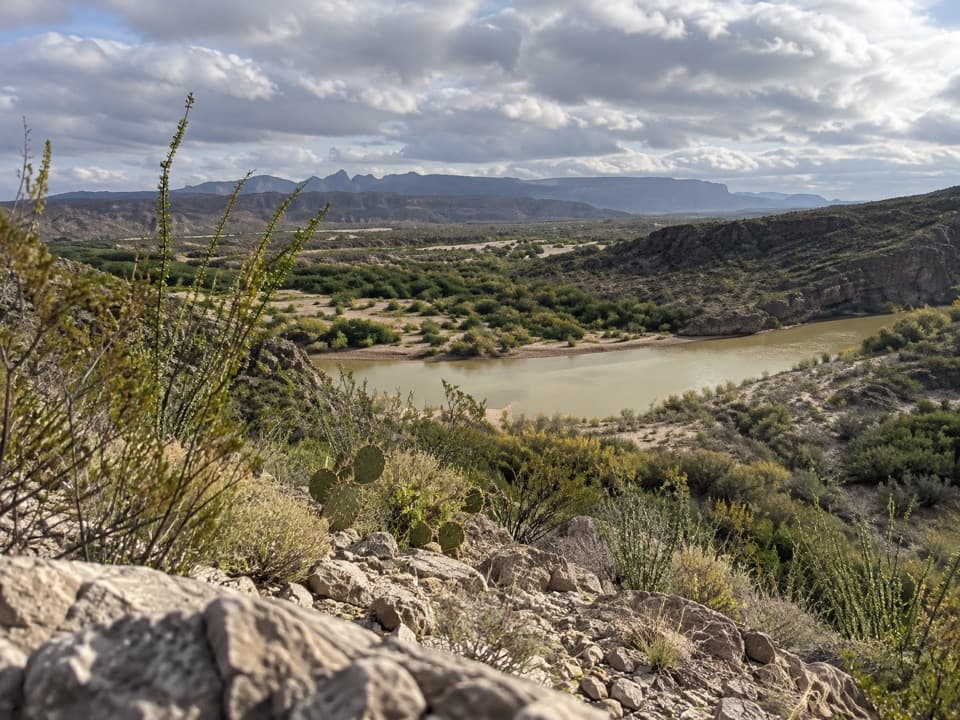
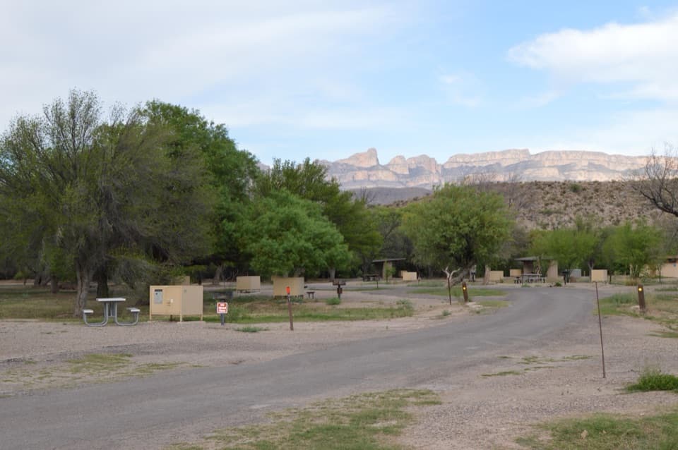
Rio Grande Overlook is a small viewpoint above the former Daniels Ranch farm in Big Bend’s Rio Grande Village area. A short uphill trail leads from the roadside pullout to the view. Stop for a leg stretch and the Sierra del Carmen across the border; skip it if you’re expecting a broad, open-water view. Cottonwoods and brush often screen the river, so the mountain wall and green floodplain are the more dependable payoff.

Read the land belowFrom the top, look across the green strip that marks the Rio Grande corridor and the remains of…

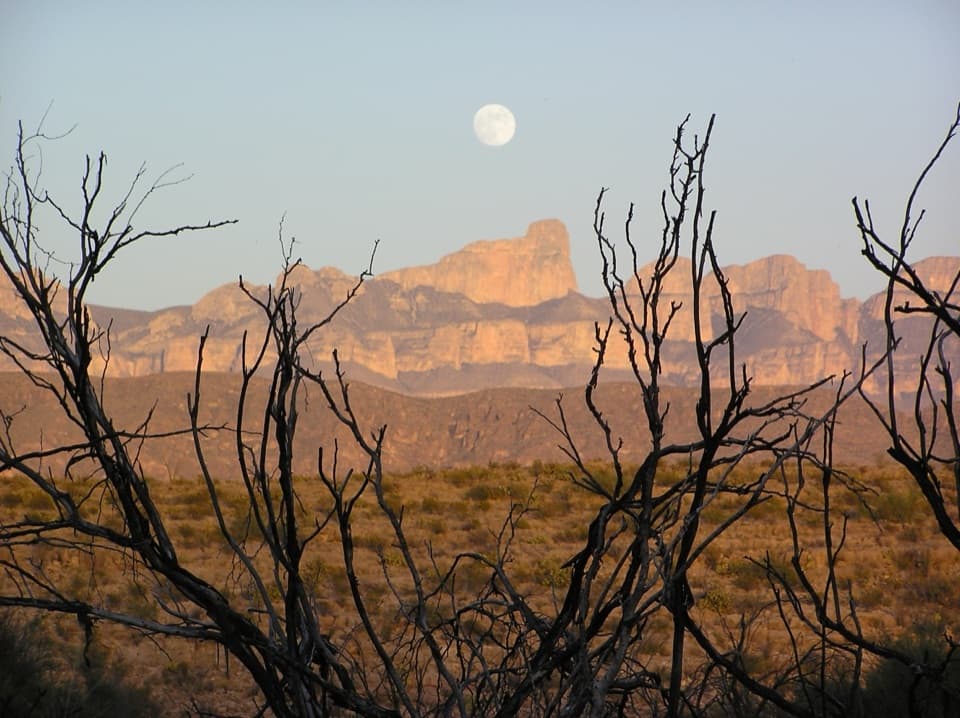
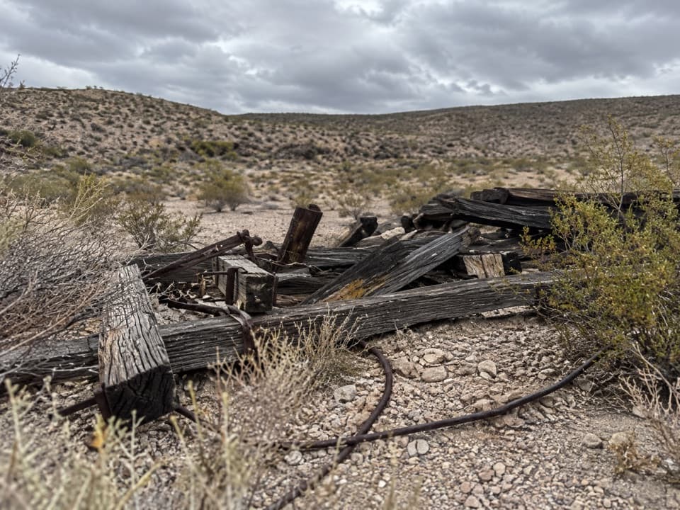
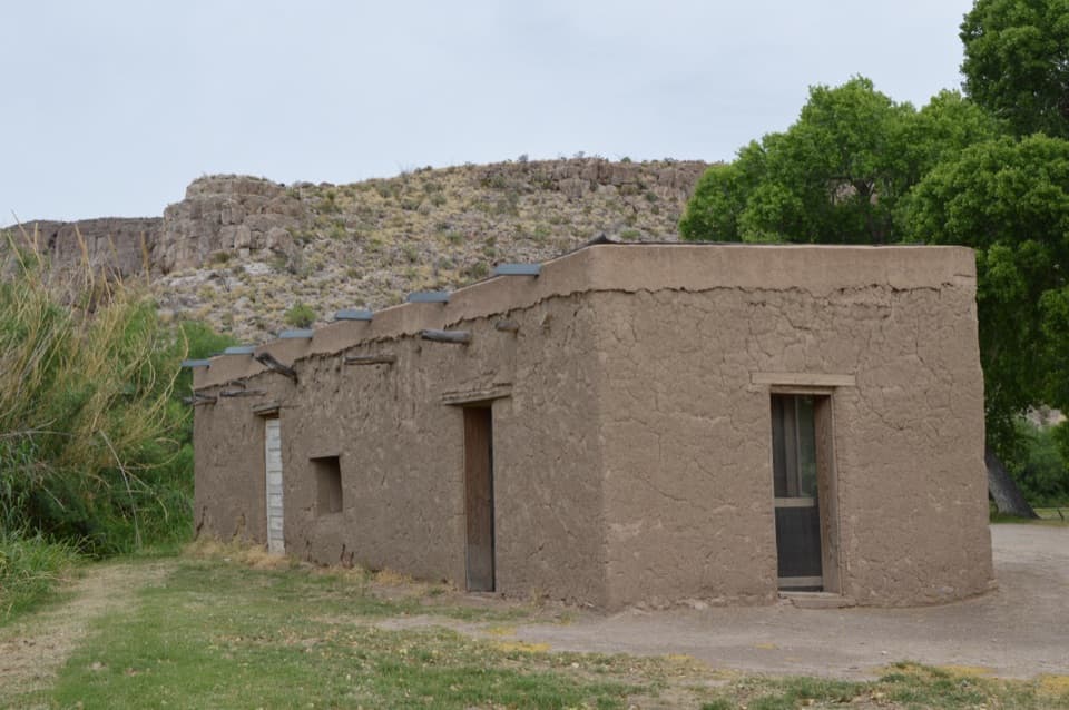
From the top, look across the green strip that marks the Rio Grande corridor and the remains of Daniels Ranch’s irrigation system. When the overlook was created in 1959, the cottonwoods were sparse and visitors could see the river from the hill. They’ve grown enough to hide much of the water now. For a photo, frame the Sierra del Carmen above the green floodplain; it gives the view depth even when you can’t pick out the river.

The old road around the hillThe road tunnel cuts through the cliff beside the overlook.

The road tunnel cuts through the cliff beside the overlook. Look carefully at the rock for the trace of the old road that once looped around the hill. Its curve was known as Dead Man’s Curve after a shooting in the early 20th century—a grim bit of history attached to an otherwise quick stop.

A sea floor turned to limestoneThe geology panel starts with the Western Interior Seaway.

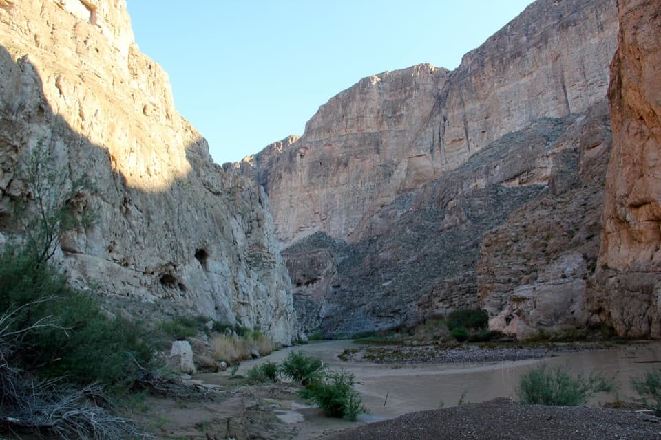
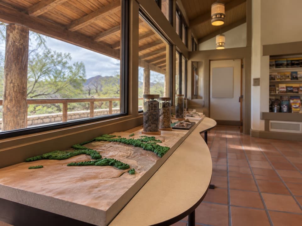
The geology panel starts with the Western Interior Seaway. For about 47 million years, shells from tiny marine creatures and oysters settled into limey mud, which later hardened into thick limestone. Around 20 million years ago, stretching in the Earth’s crust broke that old seabed into blocks and exposed a cross-section of it in the mountains around Rio Grande Village.

One wilderness, two countriesAcross the river corridor, Mexico’s Sierra del Carmen carries the same Chihuahuan Desert…

Across the river corridor, Mexico’s Sierra del Carmen carries the same Chihuahuan Desert landscape into higher pine forest and wildflower meadows. The panel points out black bear and Montezuma quail in those mountains, and how the river and wildlife habitat continue across the border. At the pullout, another panel explains why stony limestone soils still support plants such as lechuguilla and Hechtia; it describes Hechtia as growing nowhere else in the United States except Big Bend country.

Wildlife

Wildlife in Big Bend

All Big Bend wildlife maps

Sighting maps show where each species has been reported across Big Bend. Wildlife moves, so no sighting is guaranteed.

Keep exploring

Near Rio Grande Overlook

See it all on the map

Trails nearby

More stops nearby

Parkwolf’s Big Bend ranking

Top sights in Big Bend

All 64 places
  1. 1Santa Elena CanyonSight
  2. 2Sotol VistaSight
  3. 3Fossil Discovery ExhibitSight
  4. 4Window ViewSight
  5. 5Boquillas CanyonSight
  6. 6Langford Hot SpringsSight

Take Parkwolf to Big Bend.

The audio tour guide for the drive, plus offline maps, trails, and wildlife heatmaps for when the signal drops.

4.7 from 8,600+ ratings

Download Parkwolf on the App StoreGet Parkwolf on Google Play