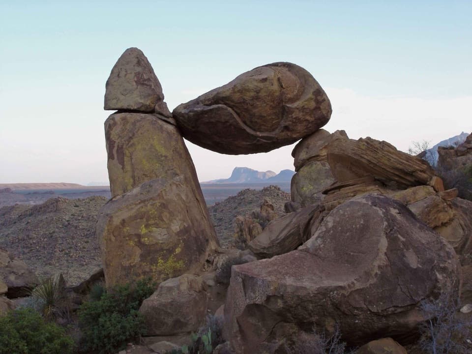
Parking
Use the shared dirt Marufo Vega / Ore Terminal Trailhead lot on Boquillas Canyon Road; it holds about five vehicles. Cross the road to the signed trail starts.
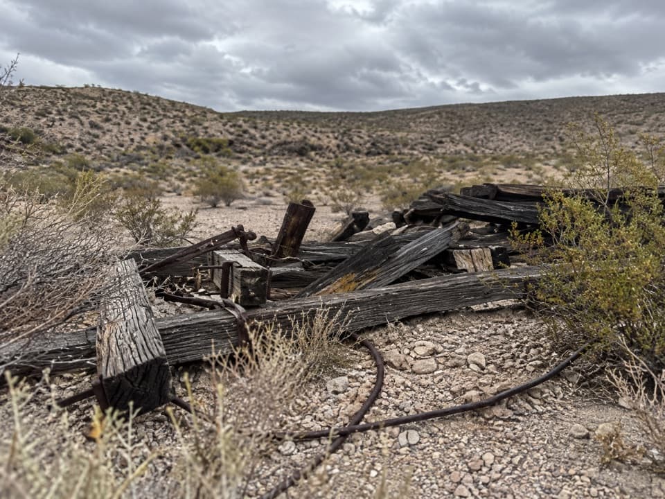
Big Bend National Park, TX
Follow the old ore tramway to its ridge-top terminal.
Overview
Map & elevation
Plan your hike

The highest, rockiest slopes around here are a summer buffet for grizzly bears.
Big Bend Tour Guide
Parkwolf is a GPS audio tour guide for Big Bend National Park. As you drive, it chimes in with what’s ahead: hidden gems, upcoming stops, history, geology, and wildlife, right through your car’s speakers.
See the Big Bend audio tourRecorded for this trailhead
Marufo Vega Trail“You're nearing the Marufo Vega trailhead, the start of a remote hike through the Dead Horse Mountains with views above the Rio Grande.”
Plays as you drive up to this trailhead in the Parkwolf Big Bend Tour Guide.
More stories near here in the app
“Fantastic app with many points of information… It’s great to just turn on while you’re driving and it gives you an audio tour of the national Park. We love it!!!!”


Trail guide
Ore Terminal Trail is an 8.7-mile out-and-back from the shared Marufo Vega trailhead to the old tramway terminal on a ridge above Ernst Valley. It is a long desert walk with an unusual mining-history payoff, not a quick roadside stop. Allow about 4.5 hours. The path is rocky, and loose pebbles make steady footing more important than speed.
Use the shared dirt lot, then cross Boquillas Canyon Road to the signed trail starts. The first stretch follows the west side of the Ernst Valley wash, drops into sandy wash, and climbs back onto its east bench. A collapsed tower and rusted cable mark the old ore route. At about 0.9 mile, continue straight with the cable for Ore Terminal; the Marufo Vega route turns right.
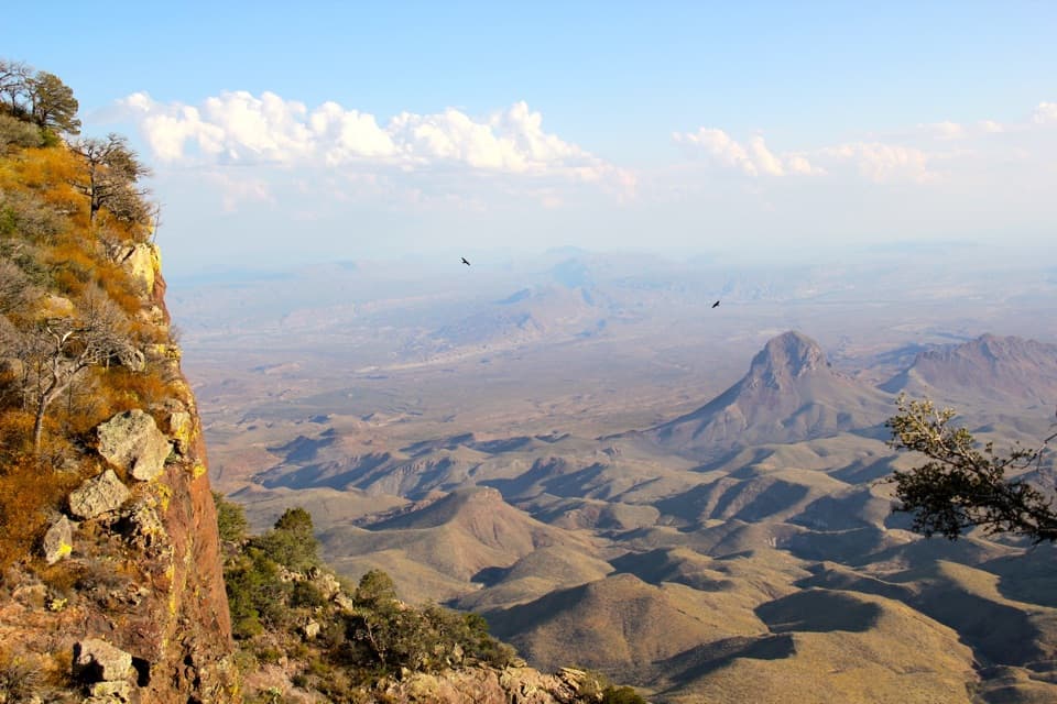
The tramway brought ore from the Puerto Rico mine in Mexico to its terminal on the ridge above Ernst Valley. The collapsed tower and rusted cable are still visible along the approach. From the junction, the mapped route follows the old line northwest toward the ridge-top terminal; the endpoint is the turnaround, so return the same way.
The shared trailhead lot holds about five vehicles. The route has loose pebbles and large elevation changes, so hiking poles can help with balance. Choose a cooler day: park guidance recommends hiking when temperatures are below 80°F and carrying 1 liter of water per person for every planned hiking hour. Pets are not allowed on park trails.
Wildlife
 377 sightingsBlack BearMost seen around 7 PMSighting map
 329 sightingsCollared PeccaryMost seen around 7 PMSighting map
 500 sightingsWhite-tailed DeerMost seen around 7 PMSighting map
 985 sightingsRoadrunnerMost seen around 8 AMSighting map
 228 sightingsRavenMost seen around 5 PMSighting map
 264 sightingsTurkey VultureMost seen around noonSighting map
Sighting maps show where each species has been reported across Big Bend. Wildlife moves, so no sighting is guaranteed.
Keep exploring
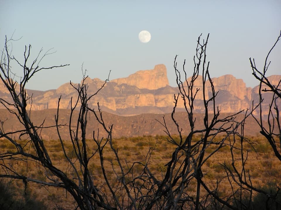 ChallengingMarufo Vega Trail14 mi · 10 hr · At the trailheadA strenuous 14-mile loop with remote canyon and Rio Grande views.
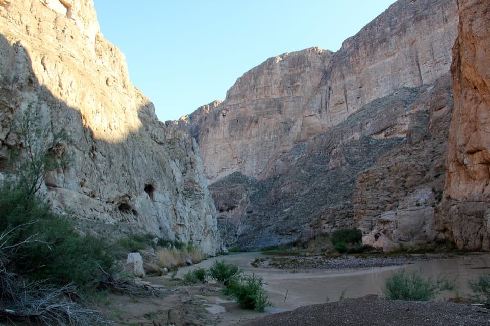 EasyBoquillas Canyon Trail1.5 mi · 1 hr · 0.5 mi awayA short climb opens onto the Rio Grande beneath canyon walls.
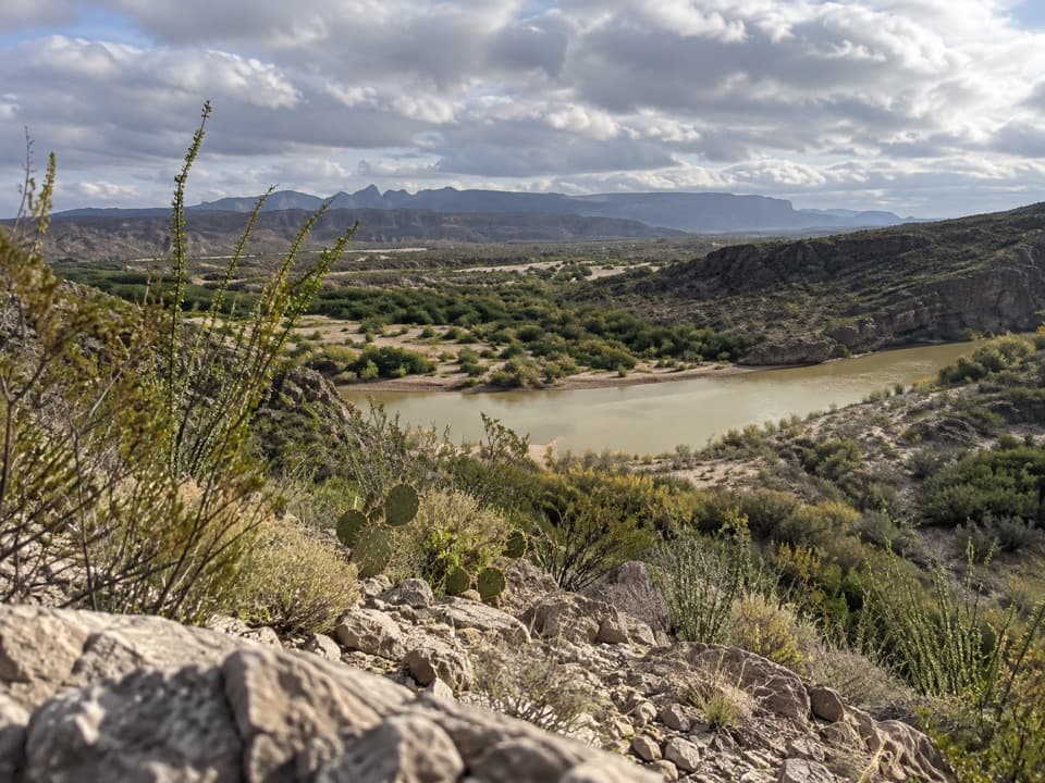 EasyRio Grande Village Nature Trail0.8 mi · 30 min · 2.1 mi awayWetland boardwalk and a short ridge loop with Rio Grande views.
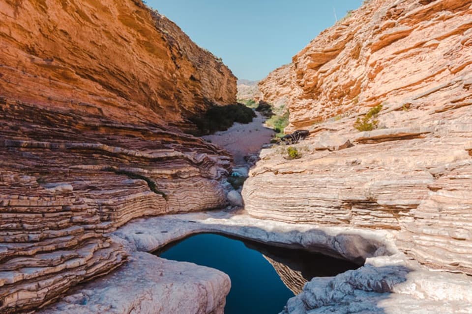 EasyErnst Tinaja Trail1 mi · 1 hr · 6.8 mi awayA short walk to giant oyster fossils and a deep desert pool.
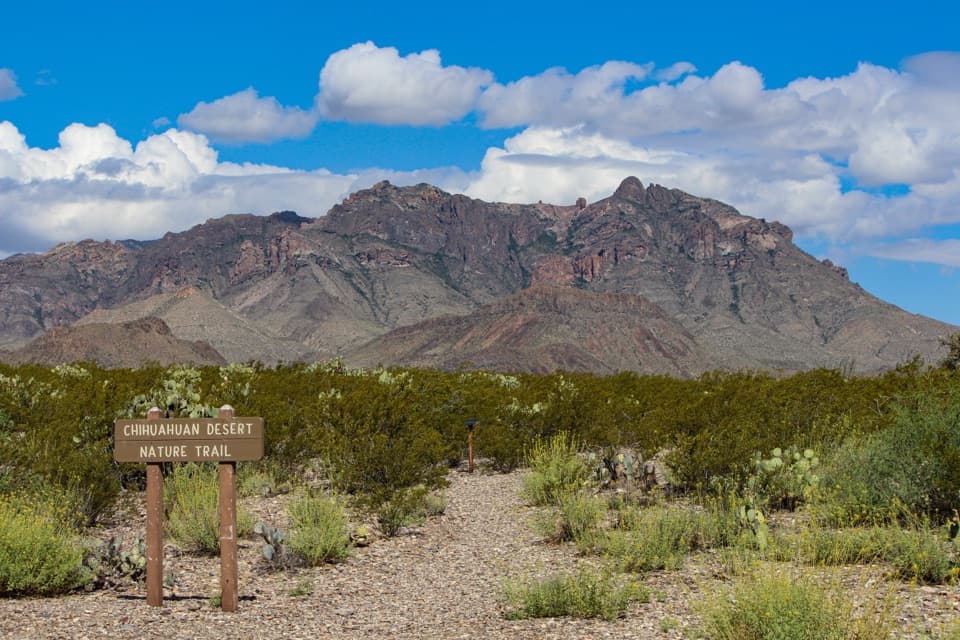 EasyChihuahuan Desert Nature Trail0.5 mi · 30 min · 13.5 mi awayA short desert loop puts names to the plants around you.
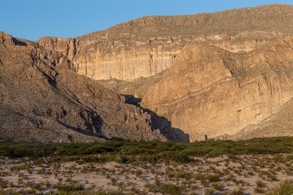 Scenic pullout · 0.4 mi awayBoquillas OverlookA cross-border view, with the canyon entrance hiding in plain sight.Sight · 0.7 mi awayBoquillas CanyonFollow the river into a limestone gorge at Big Bend’s edge.
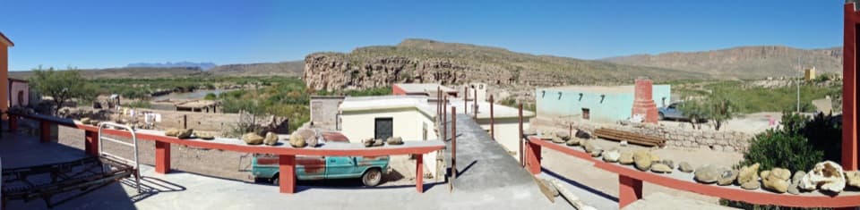 Sight · 0.8 mi awayBoquillas del CarmenA cross-border village visit with mining roots and local crafts.
 Entrance station · 1.3 mi awayBoquillas Port of EntryA rare border crossing opens onto a small town across the river.
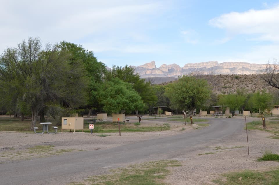 Campground · 2.1 mi awayRio Grande Village CampgroundCamp under cottonwoods, then walk the spring-fed wetland trail.
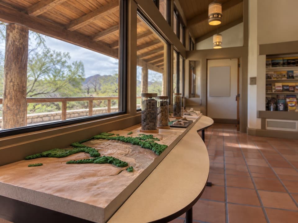 Visitor center · 2.3 mi awayRio Grande Village Visitor CenterA useful ranger stop with a raised map of the Rio Grande.
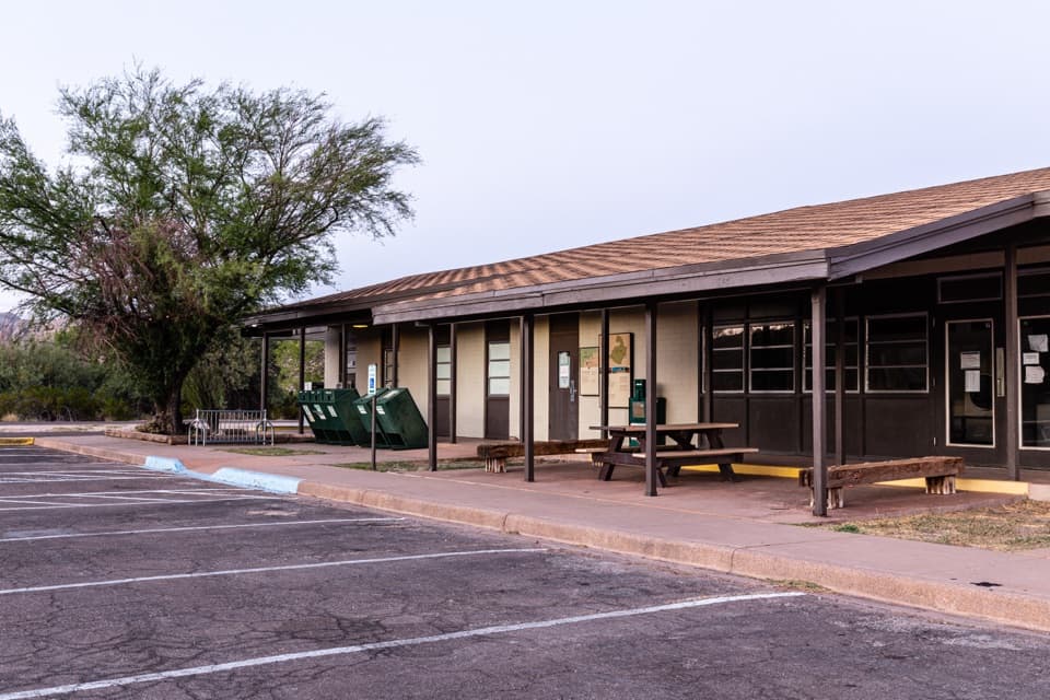 Store · 2.3 mi awayRio Grande Village StoreThe east-side stop for fuel, showers, and camp supplies.
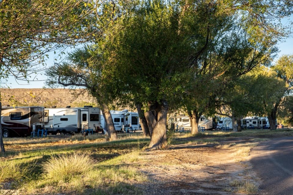 Campground · 2.4 mi awayRio Grande Village RV CampgroundThe park’s only full-hookup RV base, with a store next door.
Parkwolf’s Big Bend ranking

The audio tour guide for the drive, plus offline maps, trails, and wildlife heatmaps for when the signal drops.