Parking
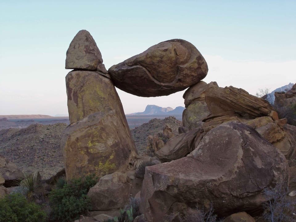
Small lot for about five vehicles, 2.5 miles down Boquillas Canyon Road; the trail begins across the road. Lock the vehicle and keep valuables out of sight; break-ins have occurred.
#9 of 45 trails in Big Bend
Big Bend National Park, TX
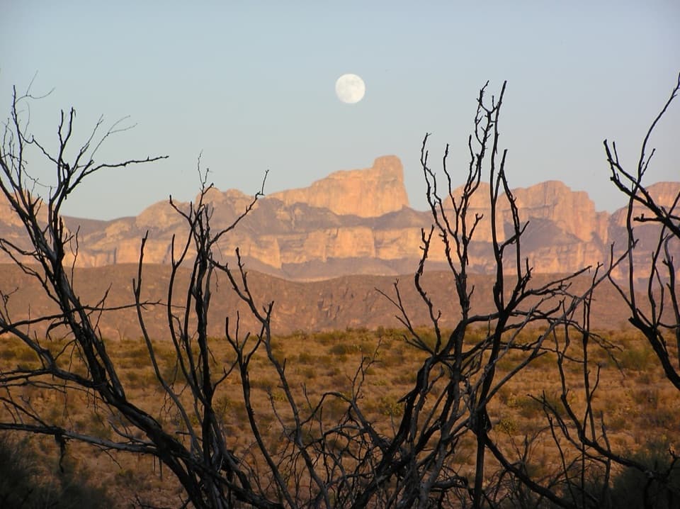
A strenuous 14-mile loop with remote canyon and Rio Grande views.
Overview
Map & elevation
Plan your hike

The highest, rockiest slopes around here are a summer buffet for grizzly bears.
Big Bend Tour Guide
Parkwolf is a GPS audio tour guide for Big Bend National Park. As you drive, it chimes in with what’s ahead: hidden gems, upcoming stops, history, geology, and wildlife, right through your car’s speakers.
See the Big Bend audio tourRecorded for this trailhead
Marufo Vega Trail“You're nearing the Marufo Vega trailhead, the start of a remote hike through the Dead Horse Mountains with views above the Rio Grande.”
Plays as you drive up to this trailhead in the Parkwolf Big Bend Tour Guide.
More stories near here in the app
“Fantastic app with many points of information… It’s great to just turn on while you’re driving and it gives you an audio tour of the national Park. We love it!!!!”


Trail guide
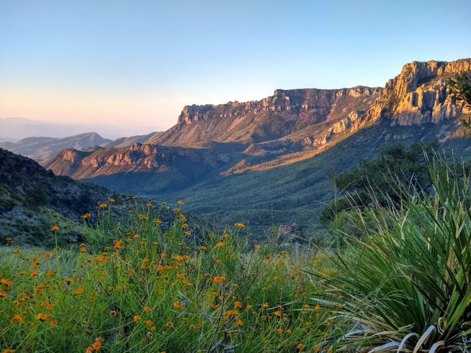
Marufo Vega is a 14-mile loop through the Dead Horse Mountains, with two forks joined by a high trail above the Rio Grande. From the signed trailhead, the route starts in a sandy wash, climbs to a plateau, then drops through rugged drainages before the north and south forks meet again. It is a strenuous, remote hike, not a quick river walk. Allow about 8–12 hours for the full loop; overnight backpacking is another option with a permit. I’d save it for hikers ready for a long, exposed desert day. The North Fork out-and-back is shorter, but published figures put the river trip at 10.4 or 11 miles round trip, and you miss the south fork and connector.
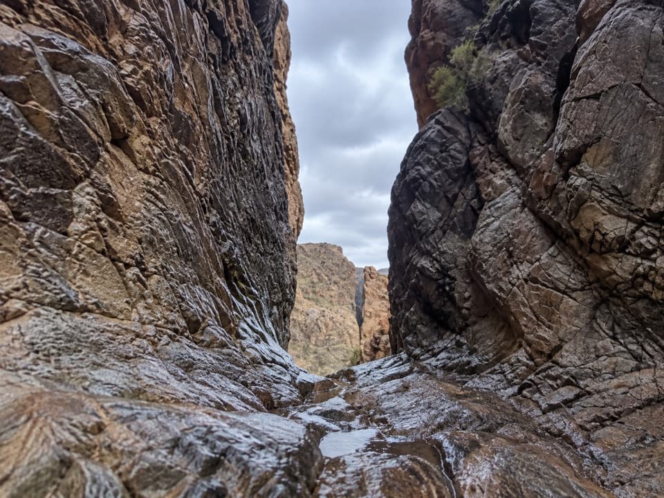
The first stretch follows a sandy wash, then climbs steeply to higher ground and crosses rugged drainages. The route passes an old ore tramway line and calcite outcrops on the way toward a small saddle. At about 3.5 miles, the trail divides. Watch for cairns: some sections can be hard to follow where vegetation grows over the path, and livestock tracks cross it. If the route stops making sense, retrace to the last cairn rather than choosing the clearest-looking track.
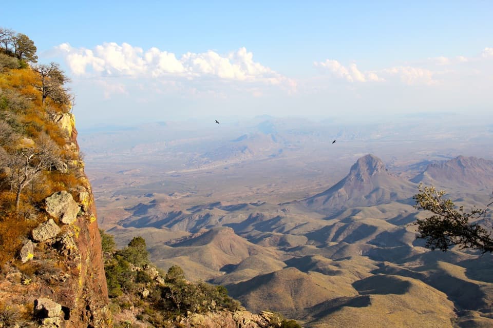
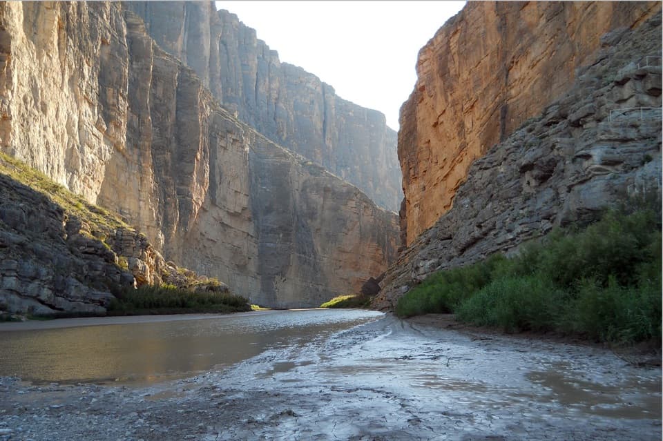
The north fork descends toward Boquillas Canyon and opens onto views of the Rio Grande far below and the Sierra del Carmen in Mexico. The south fork reaches a promontory with wide mountain views and distant glimpses of the river, then drops steeply toward the river. A connecting trail runs along a bench above the Rio Grande and joins the forks; it gives you the river view without following the bank. The park map also marks a separate steep spur down to the water. That spur is optional and is not part of the mapped loop.
The trail name honors Gregorio Marufo, who grazed goats along the Rio Grande. Near the approach, the old ore tramway carried silver from the Puerto Rico mine near Boquillas, Mexico, to a terminal on a ridge above Ernst Valley. The Ore Terminal and Strawhouse trails branch away in this area; they are different routes, so stay with the Marufo Vega signs and cairns for this loop. On the north fork, keep the river below the Sierra del Carmen cliffs in the frame; that distance makes the view read.
There is no shade and no water along the trail, and river water is not potable. Big Bend recommends at least one gallon per person per day and an early start. Temperatures can top 110°F in spring and summer; the park warns the hike can be deadly from April through September and says winter is the pleasant season. The trail is best in temperatures below 80°F. There is no cell coverage, and rescue may be delayed, so this is a poor choice if you are unfit or unprepared for remote desert travel.
The small parking area is about 2.5 miles down Boquillas Canyon Road and holds roughly five vehicles; the trail begins across the road. Lock the car and keep valuables out of sight because break-ins have occurred. Dogs and other pets are not allowed on Big Bend trails. Overnight camping requires a backcountry permit, which must be obtained before the trip; campfires are prohibited. Toilets or food at the trailhead or along the route were not confirmed.
Wildlife
 377 sightingsBlack BearMost seen around 7 PMSighting map
 329 sightingsCollared PeccaryMost seen around 7 PMSighting map
 500 sightingsWhite-tailed DeerMost seen around 7 PMSighting map
 985 sightingsRoadrunnerMost seen around 8 AMSighting map
 228 sightingsRavenMost seen around 5 PMSighting map
 264 sightingsTurkey VultureMost seen around noonSighting map
Sighting maps show where each species has been reported across Big Bend. Wildlife moves, so no sighting is guaranteed.
Keep exploring
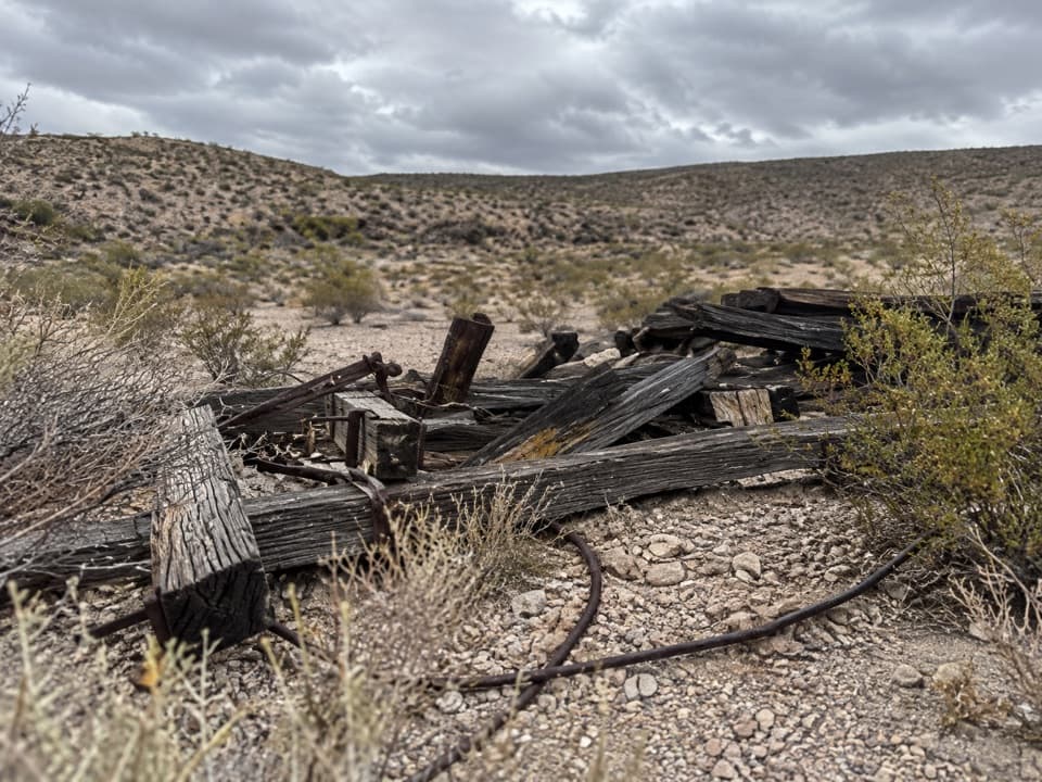 ModerateOre Terminal Trail8.7 mi · 4.5 hr · At the trailheadFollow the old ore tramway to its ridge-top terminal.
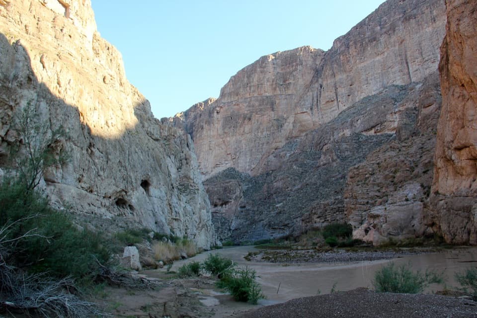 EasyBoquillas Canyon Trail1.5 mi · 1 hr · 0.5 mi awayA short climb opens onto the Rio Grande beneath canyon walls.
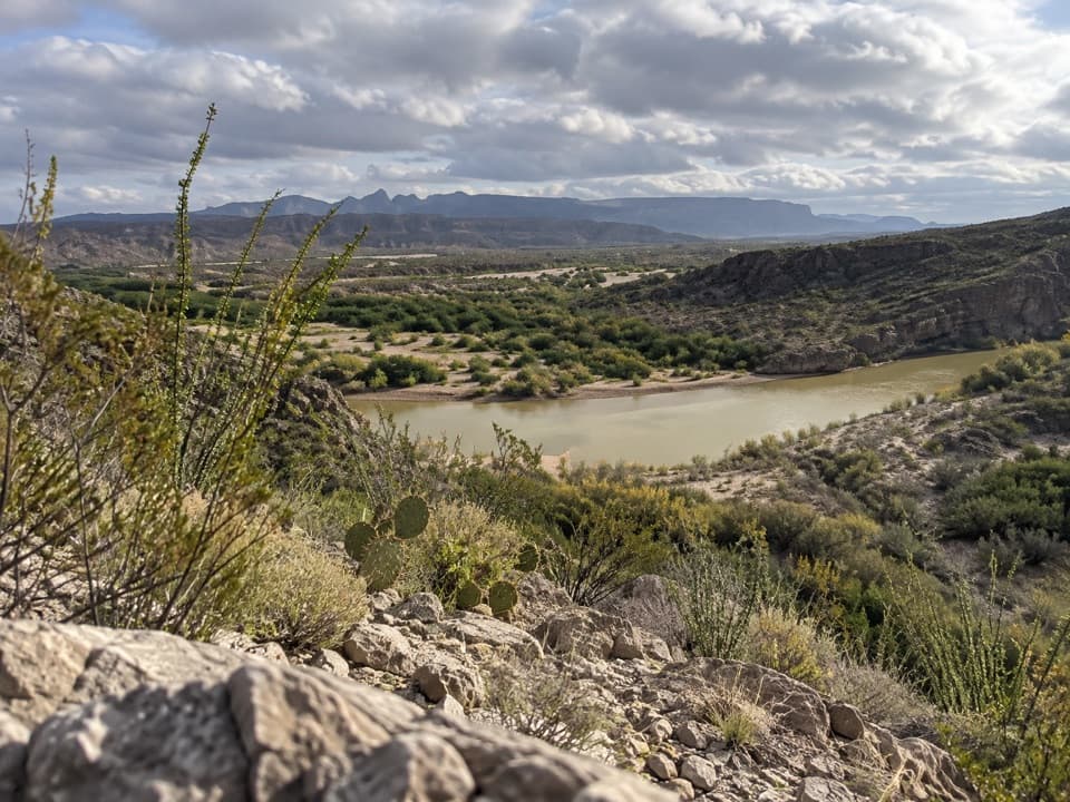 EasyRio Grande Village Nature Trail0.8 mi · 30 min · 2.1 mi awayWetland boardwalk and a short ridge loop with Rio Grande views.
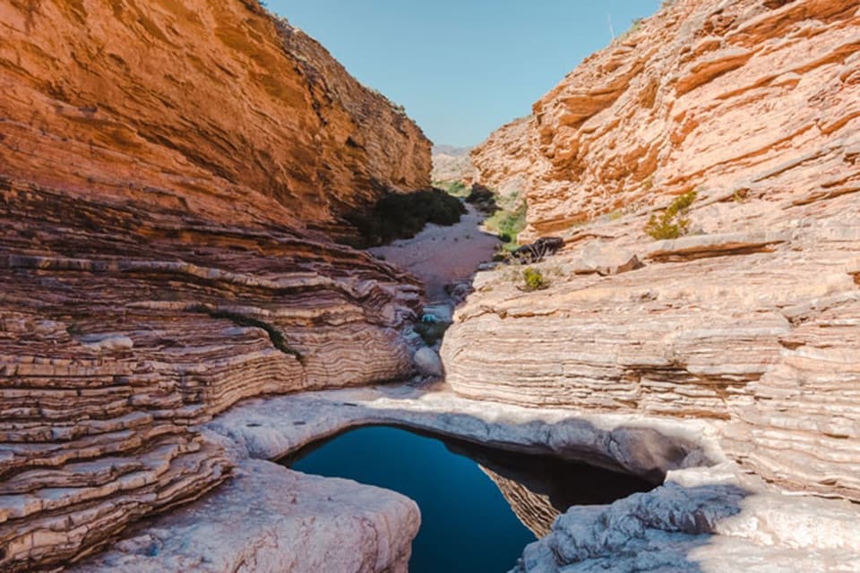 EasyErnst Tinaja Trail1 mi · 1 hr · 6.8 mi awayA short walk to giant oyster fossils and a deep desert pool.
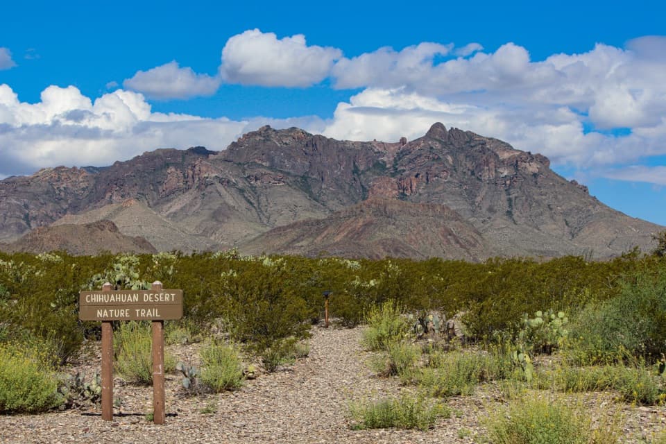 EasyChihuahuan Desert Nature Trail0.5 mi · 30 min · 13.5 mi awayA short desert loop puts names to the plants around you.
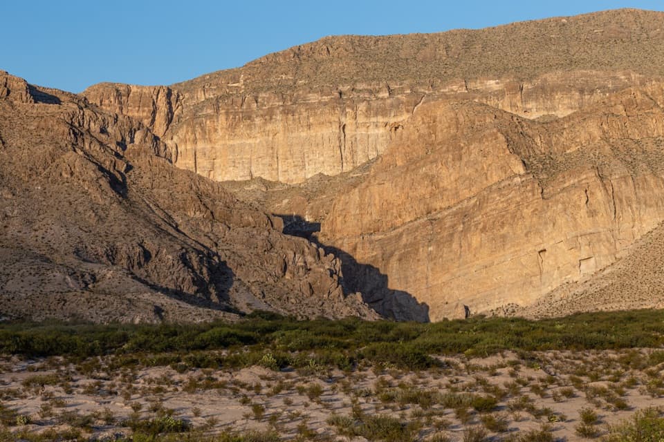 Scenic pullout · 0.4 mi awayBoquillas OverlookA cross-border view, with the canyon entrance hiding in plain sight.Sight · 0.7 mi awayBoquillas CanyonFollow the river into a limestone gorge at Big Bend’s edge.
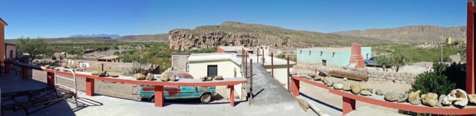 Sight · 0.8 mi awayBoquillas del CarmenA cross-border village visit with mining roots and local crafts.
 Entrance station · 1.3 mi awayBoquillas Port of EntryA rare border crossing opens onto a small town across the river.
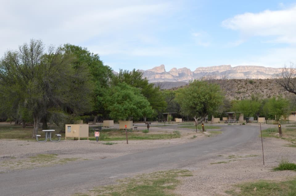 Campground · 2.1 mi awayRio Grande Village CampgroundCamp under cottonwoods, then walk the spring-fed wetland trail.
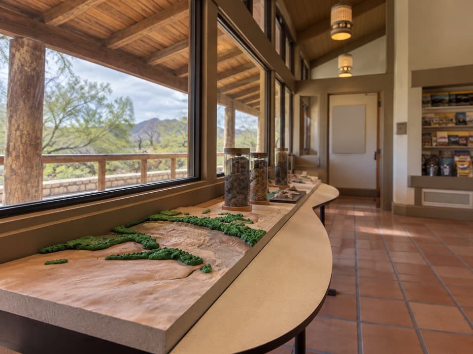 Visitor center · 2.3 mi awayRio Grande Village Visitor CenterA useful ranger stop with a raised map of the Rio Grande.
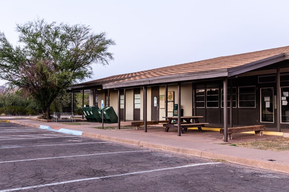 Store · 2.3 mi awayRio Grande Village StoreThe east-side stop for fuel, showers, and camp supplies.
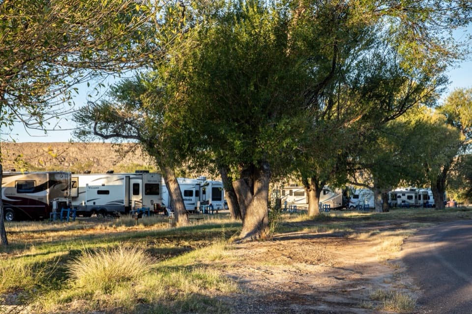 Campground · 2.4 mi awayRio Grande Village RV CampgroundThe park’s only full-hookup RV base, with a store next door.
Parkwolf’s Big Bend ranking

The audio tour guide for the drive, plus offline maps, trails, and wildlife heatmaps for when the signal drops.