Pros & cons
PROS
- Dramatic desert‑to‑oasis transition with real shade at the destination
- Low‑profile management keeps crowds lighter than the park’s marquee hikes
CONS
- Unsigned access and minimal marking can be confusing on a first visit
- Seasonal flow—can be dry in midsummer, making the payoff less certain
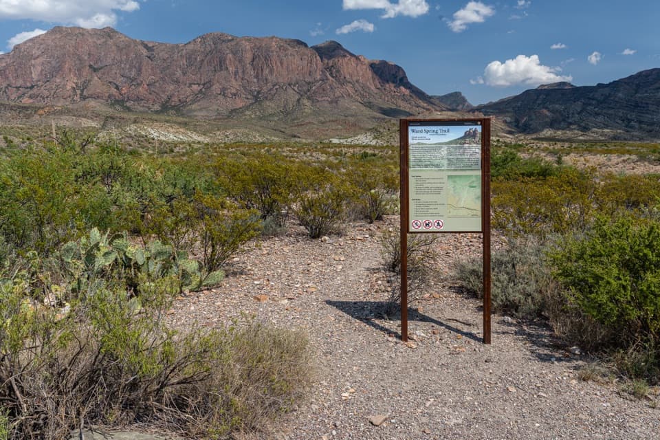
Access via an unsigned gravel road off Ross Maxwell Scenic Drive opposite the Sam Nail Ranch pullout. Drive or walk about 1.3–1.5 miles to the small parking area shared with Oak Spring; a gate sits just beyond. A Cattail Falls sign appears along the approach, then the trail continues to the falls.
Fragile riparian habitat—stay on the path, avoid soil near the falls, and do not wade in pools. Expect heat and full sun on the approach, slippery rock near water, poison oak in the canyon, and minimal signage.
Overview
Cattail Falls is a low‑profile, out‑and‑back hike that rewards a hot desert approach with a shady, spring‑fed oasis at the base of the Chisos. Expect a moderate effort and a real sense of discovery—management intentionally keeps this one quiet to protect a fragile riparian pocket.
Route and Distance
Plan on roughly 5–5.7 miles total, depending on how much of the access track you walk versus drive. Most hikers cover about 1.3–1.5 miles on an unsigned gravel track from Ross Maxwell Scenic Drive to the parking area shared with Oak Spring, then follow a signed junction toward the falls. From the signed trail, it’s roughly 1–1.6 miles one way to the waterfall. Elevation gain is modest (around a few hundred feet), but exposure and footing near the end add to the effort.
What You’ll See
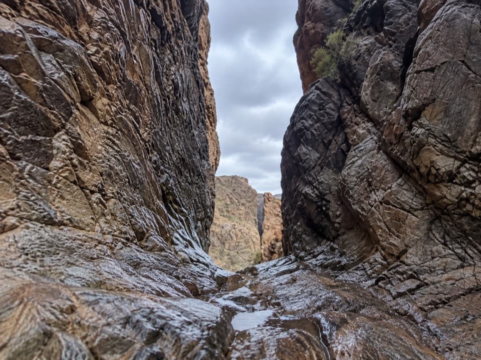
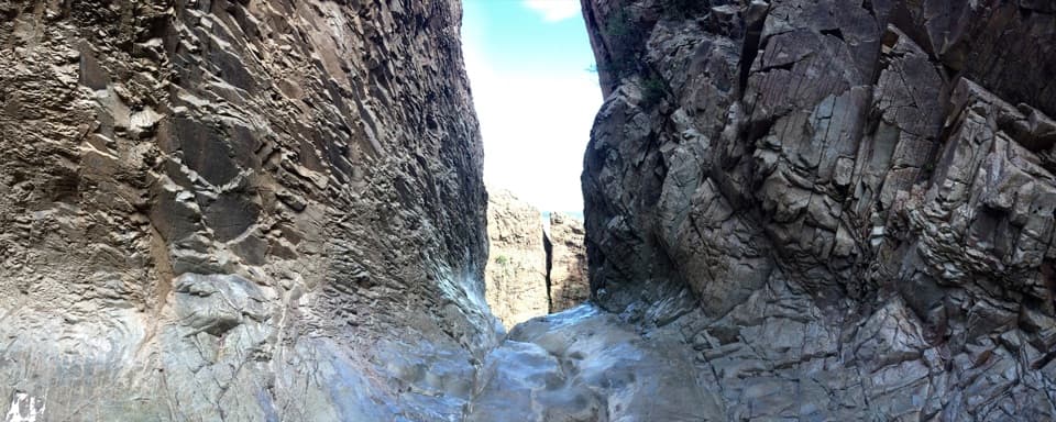
The approach crosses open Chihuahuan Desert with little shade. As the canyon narrows, the landscape flips: dense woodland, big oaks, ferns, even palms clustered around pools. The centerpiece is a cliff streaked with mineral color and an ~80‑foot, spring‑fed cascade when flowing, spilling into a chain of clear basins. Flow is seasonal—often best in cooler months and after rains—while midsummer can be dry.
Trail Experience
Underfoot it’s mostly easy walking until the final approach, where you’ll step across streamlets and scramble over boulders and slick rock slabs. It’s quiet compared to the park’s headliners, so if you like solitude, this delivers. The tradeoff: minimal signage (by design), a bit of route‑finding confidence needed, and full sun on the approach.
Best Time to Hike
October through April is the sweet spot: cooler temps, better odds of water, and softer light for photography in the canyon. Start early or late for shade and quieter conditions. In summer, expect intense heat and a decent chance the falls are a trickle or dry.
Tips and Etiquette
- Bring plenty of water—the approach is exposed.
- Near the falls, walk on rock, not soil; stay out of the pools. This oasis is small and easily damaged.
- Watch for poison oak in the lush zone—don’t brush through vegetation.
- Wear grippy footwear; boulders and wet stone can be slick.
- Don’t expect highway signs or big map markers. That’s intentional to protect the area.
Is It Worth It?
If you’re chasing Big Bend’s contrasts—sun‑blasted desert giving way to shade, water, and birdsong—this is an underrated gem. If you need a guaranteed roaring waterfall, pick a different day or different destination; timing is everything here.
Elevation
5.7 mi · 2 hrWildlife on this trail
Near Cattail Falls Trail
All places →All trails →
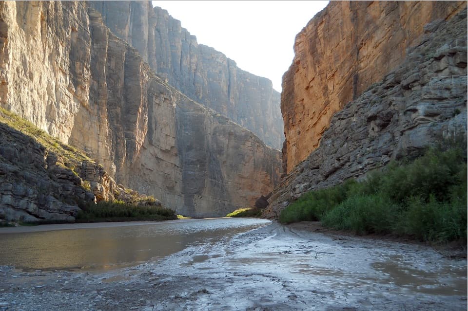
Santa Elena CanyonBig Bend’s signature limestone gorge carved by the Rio GrandeTrailhead · Restroom
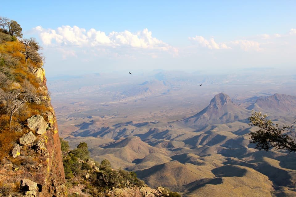
South RimGrandstand views from a tough, rewarding Chisos rim loopScenic Viewpoint
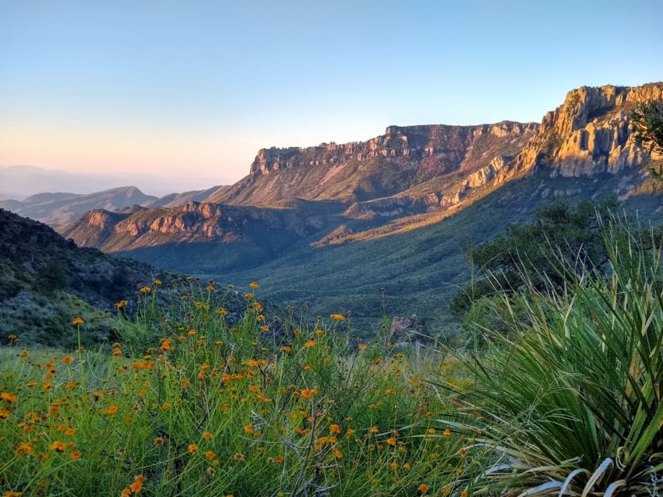
Lost Mine Trail OverlookRidge-top panorama after a moderate climbTrailhead · Parking
Santa Elena Canyon OverlookEasy stop with a jaw-dropping view into Santa Elena CanyonTrailhead · Parking
South Rim LoopCliffside blockbuster with endless Chihuahuan Desert panoramasChallenging · 12.6 mi · 7.5 hr
Santa Elena Canyon TrailShort walk into a jaw-dropping border canyon on the Rio GrandeEasy · 1.6 mi · 1 hr
Lost Mine TrailBig Bend’s go-to ridge for huge Chisos and desert viewsModerate · 4.8 mi · 3 hr
East Rim TrailQuiet rim, bold desert panorama—worth the long climb.Challenging · 2.4 mi · 9 hr