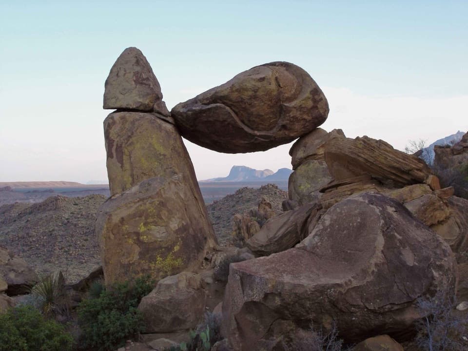
Parking
Use the roadside pullout on Ross Maxwell Scenic Drive, 3.4 miles south toward Castolon. Parking can fill during busy times.
Big Bend National Park, TX
A quick homestead loop into a shady desert oasis
Overview
Map & elevation
Plan your hike

The highest, rockiest slopes around here are a summer buffet for grizzly bears.
Big Bend Tour Guide
Parkwolf is a GPS audio tour guide for Big Bend National Park. As you drive, it chimes in with what’s ahead: hidden gems, upcoming stops, history, geology, and wildlife, right through your car’s speakers.
See the Big Bend audio tourRecorded for this trailhead
Sam Nail Ranch“Up ahead is Sam Nail Ranch, where a short loop leads to adobe walls, windmill remains, and a shaded grove. Give it about half an hour, and walk all the way down to the trees; the ruins aren't visible from the road.”
Plays as you drive up to this trailhead in the Parkwolf Big Bend Tour Guide.
More stories near here in the app
“Fantastic app with many points of information… It’s great to just turn on while you’re driving and it gives you an audio tour of the national Park. We love it!!!!”


Trail guide
Sam Nail Ranch Trail is a short, easy loop from a roadside pullout on Ross Maxwell Scenic Drive through the Nail homestead and the shaded grove by Cottonwood Creek. The mapped walk measures about 0.35 mile, including the short access leg back to the pullout; the park lists it as a half-mile loop. Allow about 30 minutes, with time to look at the ruins. It is a good pick for a little ranch history and shade without committing to a longer hike.
The rocky dirt path gently descends from the pullout through desert scrub. At the lower end, it reaches the windmill and the shaded oasis, then circles back through the homestead and returns along the short shared access path. Steps occur at both the north and south ends, so this is not a step-free walk. The park describes the path as easy and well maintained.
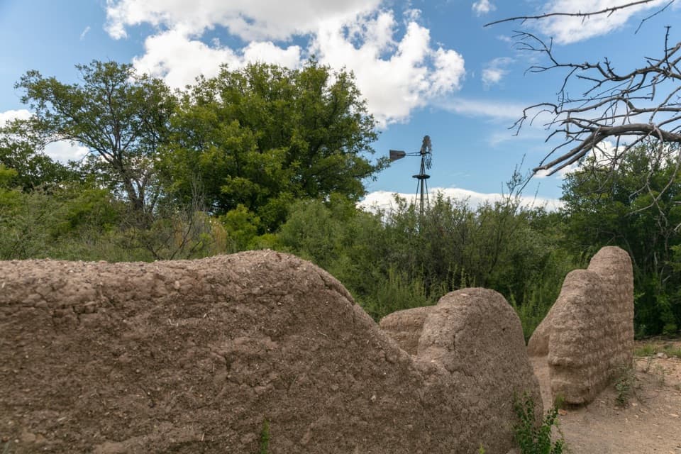
Sam Nail built a two-room adobe house beside Cottonwood Creek in 1916, where he and his wife raised their family. Look for the weathered adobe walls, traces of the orchard and garden, and a chicken coop shaded by soapberry trees. The remains give this quick loop more to notice than a simple walk through the desert.
At the bottom of the loop, pecan, walnut, willow and soapberry trees shade the route. The old wooden windmill once pumped water to a tank atop Burro Mesa for the Nails' cattle; today, water spills onto the ground and draws birds and other wildlife. The adobe walls and windmill make the most distinctive photo together, with the grove in the frame for context.
The trailhead is the roadside pullout on Ross Maxwell Scenic Drive, 3.4 miles south toward Castolon. Parking can fill during busy times. Dogs are not allowed on trails in the park.
Wildlife
 377 sightingsBlack BearMost seen around 7 PMSighting map
 329 sightingsCollared PeccaryMost seen around 7 PMSighting map
 500 sightingsWhite-tailed DeerMost seen around 7 PMSighting map
 985 sightingsRoadrunnerMost seen around 8 AMSighting map
 228 sightingsRavenMost seen around 5 PMSighting map
 264 sightingsTurkey VultureMost seen around noonSighting map
Sighting maps show where each species has been reported across Big Bend. Wildlife moves, so no sighting is guaranteed.
Keep exploring
 ModerateOak Spring Trail7.2 mi · 5 hr · At the trailheadThe Window from the west, with a climb and desert views.
 ModerateCattail Falls Trail3.2 mi · 2.8 hr · 1.1 mi awayA usually small cascade spills into a rare desert oasis.
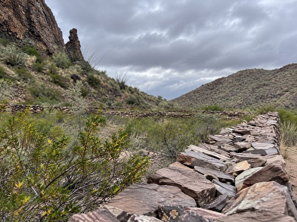 ChallengingApache Canyon Trail to Rock Corral7.2 mi · 4.5 hr · 1.3 mi awayA cairned desert hike ends at Sam Nail's stone corral.
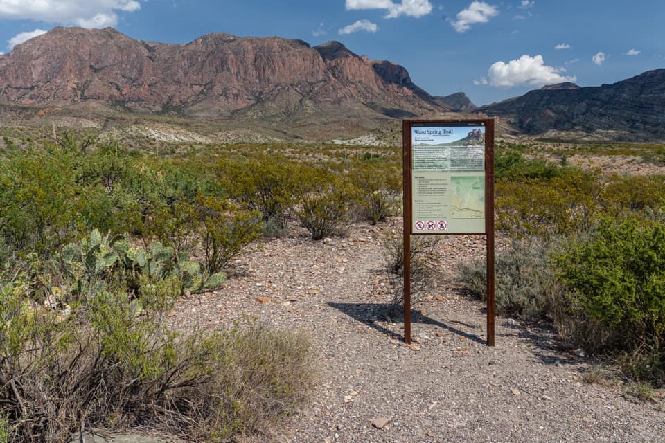 ModerateWard Spring Trail2.9 mi · 2 hr · 2.1 mi awayA rocky walk to a spring beneath a wall of volcanic rock.
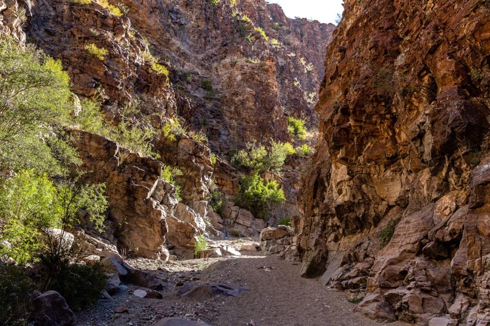 ModerateUpper Burro Mesa Pouroff Trail3.5 mi · 2.5 hr · 3.5 mi awayA sandy wash and boulder scrambles lead to a slick-rock grotto.
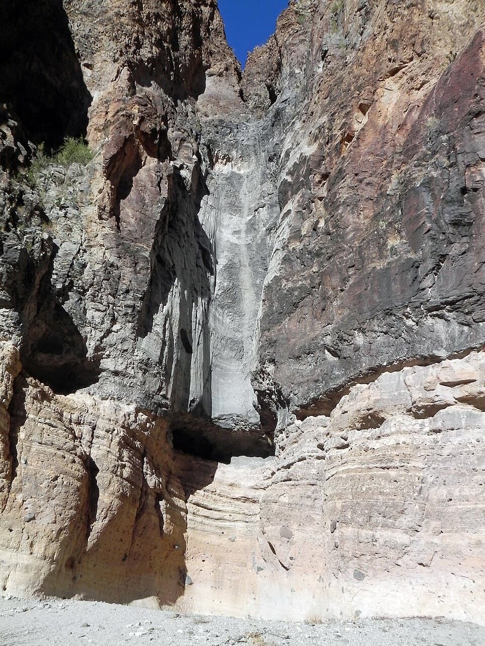 EasyLower Burro Mesa Pouroff Trail1 mi · 30 min · 3.9 mi awayA short wash walk to a 100-foot rock chute.
 ChallengingBoot Canyon Trail9 mi · 7 hr · 4 mi awayA strenuous climb to Boot Canyon’s rare cypress and namesake spire.
 ChallengingColima Loop9.5 mi · 7 hr · 4.1 mi awayA high-country circuit through Boot Canyon and the Chisos peaks.Sight · At the trailheadSam Nail RanchA half-mile loop to adobe ruins and a shaded creek oasis.
 Scenic pullout · 0.8 mi awayFins of FireStone walls from ancient magma, right beside the scenic drive.
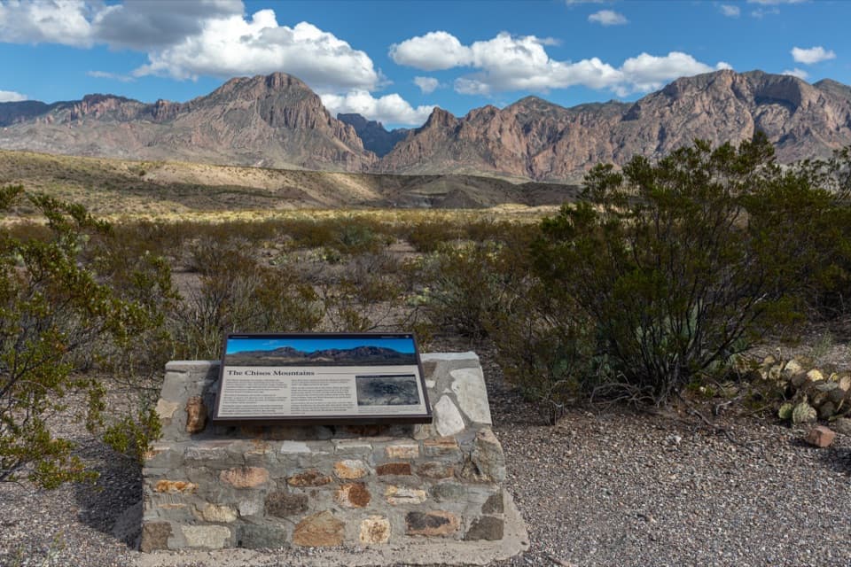 Scenic pullout · 1.3 mi awayChisos Mountains ExhibitA roadside geology lesson with the Chisos range as its backdrop.
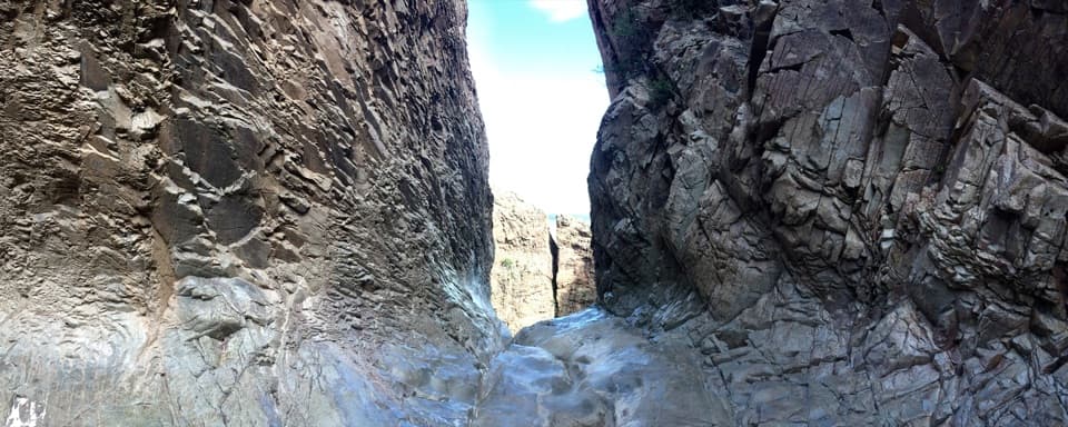 Sight · 2.3 mi awayThe WindowA long hike to a 200-foot pour-off framing the desert.Sight · 3.6 mi awayLower Burro Mesa PouroffA short wash hike ends beneath a 100-foot rock pouroff.
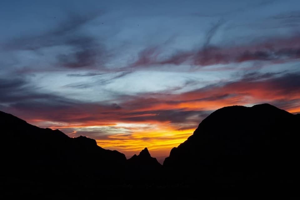 Sight · 4 mi awayWindow ViewA short, paved loop for sunset through the Window.
 Campground · 4 mi awayChisos Basin CampgroundHigh-country camping for hikers; road and site size favor smaller rigs.
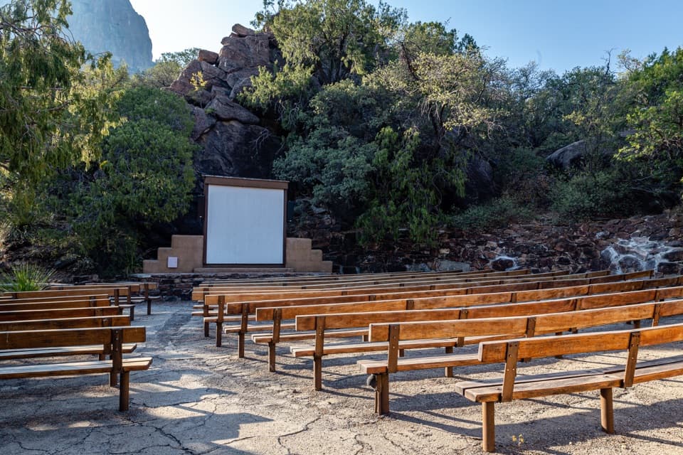 Sight · 4.1 mi awayChisos Basin AmphitheaterRanger talks bring local stories to a stone stage outdoors.
Parkwolf’s Big Bend ranking

The audio tour guide for the drive, plus offline maps, trails, and wildlife heatmaps for when the signal drops.