Chisos Mountains Exhibit in Big Bend National Park

Scenic pullout · Big Bend National Park

Chisos Mountains Exhibit

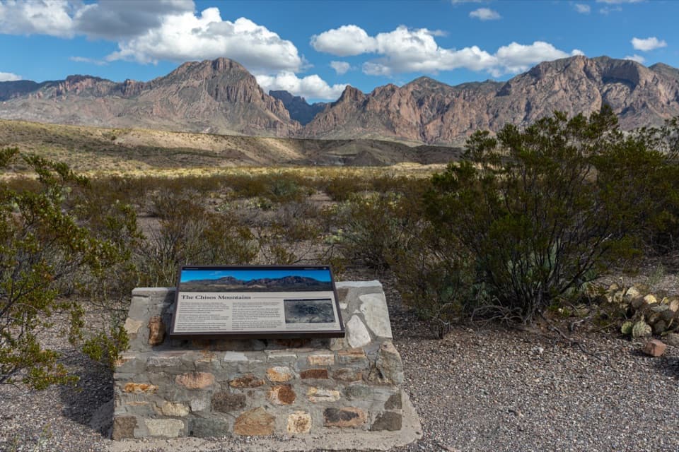
A roadside geology lesson with the Chisos range as its backdrop.

Photo: National Park Service
Type
Scenic pullout
Nearest trail
1.3 mi
Audio stories
4 nearby
  • Exhibit
  • Parking
  • Scenic viewpoint
  • Pullout

Hear the audio tour

Chisos Mountains Exhibit

Overview

About Chisos Mountains Exhibit

Why stop

  • A mountain panorama and a compact panel make the volcanic story easy to follow.

Map

Where it is

Loading the Big Bend map
Full map
Scenic pulloutChisos Mountains Exhibit29.29716, -103.37576
Keep this map with you offline in the Parkwolf app

Plan your stop

Before you go

2 active Big Bend alerts

  • ClosureWeather-related road closuresDo not use these closed roads; NPS lists the closures as in effect until further notice.Official details
  • InfoBoquillas Crossing schedule changeBoquillas Crossing is open Friday through Monday, 9:00 a.m.–4:00 p.m.; NPS says it will not change to winter hours at this time. Check current park conditions before planning a crossing.Official details

Big Bend alerts
A park ranger sits on a dash-mounted phone, talking, as Parkwolf’s Tour Guide plays “Army Cutworm Moths: A Grizzly Bear Buffet” on Grand Loop Road below Dunraven Pass in Yellowstone
Parkwolf Tour GuideThe highest, rockiest slopes around here are a summer buffet for grizzly bears.

Big Bend Tour Guide

Your drive to Chisos Mountains Exhibit, narrated.

Parkwolf is a GPS audio tour guide for Big Bend National Park. As you drive, it chimes in with what’s ahead: hidden gems, upcoming stops, history, geology, and wildlife, right through your car’s speakers.

See the Big Bend audio tour

Recorded for this place

Chisos Mountains Exhibit
0:00 / 0:19
“The Chisos Mountains Exhibit is ahead, a quick pullout for putting names to the skyline. Use the panel to match the peaks with the range in front of you.”

Plays as you drive up to Chisos Mountains Exhibit in the Parkwolf Big Bend Tour Guide.

More stories near here in the app

  • A Shell with Empty Rooms
  • Sam Nail Ranch
  • The Geologist Who Chose the Drive
  • The Woodpeckers’ Pantry
  • 110 audio storiesacross Big Bend’s roads, triggered by GPS as you drive
  • Wildlife heatmapsfor Black Bear, Collared Peccary, White-tailed Deer, and 13 more
  • Works offlinemaps, 45 trails, 64 places, and audio download before you lose signal
  • CarPlay readysimple controls built for the drive
★★★★★
“Fantastic app with many points of information… It’s great to just turn on while you’re driving and it gives you an audio tour of the national Park. We love it!!!!”
JMJamesApp Store review
Download Parkwolf on the App StoreGet Parkwolf on Google Play

4.7 from 8,600+ ratings

Guide

More about Chisos Mountains Exhibit

A quick stop for the ChisosChisos Mountains Exhibit is a roadside wayside on Ross Maxwell Scenic Drive, pairing a broad…

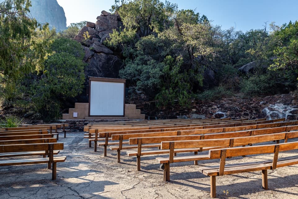
Chisos Mountains Exhibit is a roadside wayside on Ross Maxwell Scenic Drive, pairing a broad view across the range with a panel that identifies its peaks and explains their volcanic origin. It is a short stop for making sense of the skyline, designed as a pullout visit rather than a hike. The wayside is marked wheelchair accessible, though the approach surface is not described.

Mountains built by volcanoesThe Chisos rise nearly a mile above the Chihuahuan Desert and cover about 40 square miles.

The Chisos rise nearly a mile above the Chihuahuan Desert and cover about 40 square miles. Volcanic activity 38 to 32 million years ago produced much of the rhyolite that forms the range. The panel names peaks and features visible from this spot, giving the distant profile a little more shape than a simple mountain panorama.

What the volcanic past left behindThick, gas-rich magma erupted explosively, and eroded deposits from those flows formed…

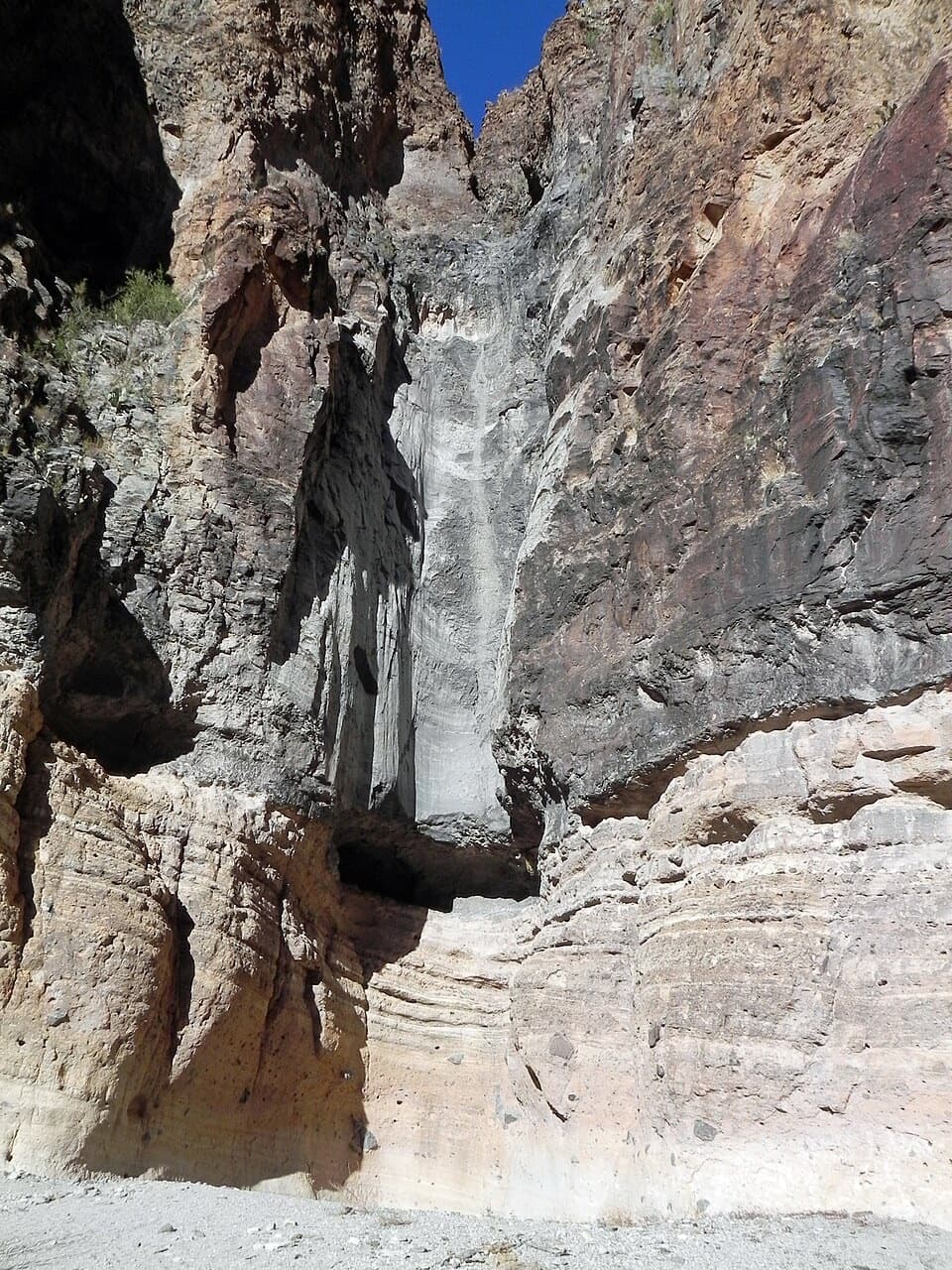
Thick, gas-rich magma erupted explosively, and eroded deposits from those flows formed pinnacles along the route toward Emory Peak, the park’s highest point. On the west side of the Chisos Basin, a chain of lava domes rose along a broad, curved fissure; Vernon Bailey Peak and Ward Mountain are examples. Farther along the scenic drive, Mule Ears is a rhyolite dike, while Lower Burro Mesa and Tuff Canyon expose pale ash-flow deposits.

A sky island in the desertA second story on the panel is ecological: aspens and nesting Colima Warblers belong to the…

A second story on the panel is ecological: aspens and nesting Colima Warblers belong to the Chisos’ moist canyons, surrounded by desert creosote and sharp-spined cactus. It helps explain why this isolated mountain range feels different from the low, dry country around it.

Fit it into the driveRoss Maxwell Scenic Drive runs 30 miles and has overlooks and exhibits along the way, so this…

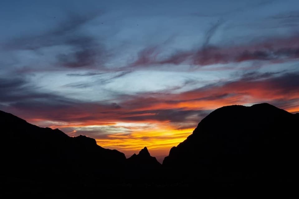
Ross Maxwell Scenic Drive runs 30 miles and has overlooks and exhibits along the way, so this works as a quick geology stop between larger destinations. For a photo, step back enough to include the wayside panel below the ridge; it anchors the panorama and identifies the place in the same frame.

Wildlife

Wildlife in Big Bend

All Big Bend wildlife maps

Sighting maps show where each species has been reported across Big Bend. Wildlife moves, so no sighting is guaranteed.

Keep exploring

Near Chisos Mountains Exhibit

See it all on the map

Trails nearby

More stops nearby

Parkwolf’s Big Bend ranking

Top sights in Big Bend

All 64 places
  1. 1Santa Elena CanyonSight
  2. 2Sotol VistaSight
  3. 3Fossil Discovery ExhibitSight
  4. 4Window ViewSight
  5. 5Boquillas CanyonSight
  6. 6Langford Hot SpringsSight

Take Parkwolf to Big Bend.

The audio tour guide for the drive, plus offline maps, trails, and wildlife heatmaps for when the signal drops.

4.7 from 8,600+ ratings

Download Parkwolf on the App StoreGet Parkwolf on Google Play