Fins of Fire in Big Bend National Park

Scenic pullout · Big Bend National Park

Fins of Fire

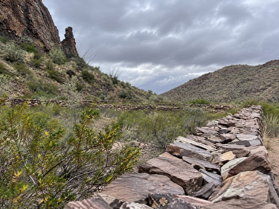
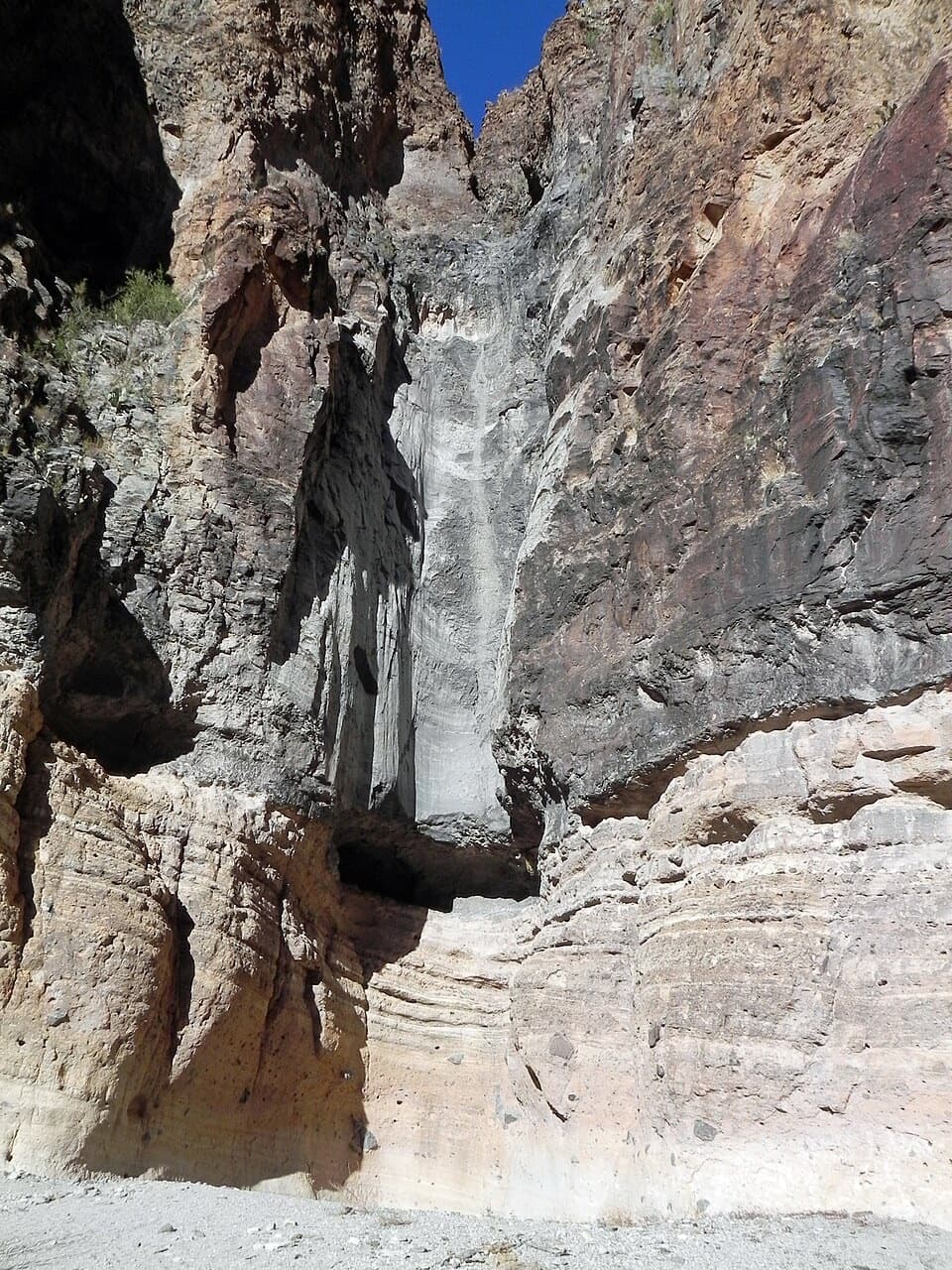
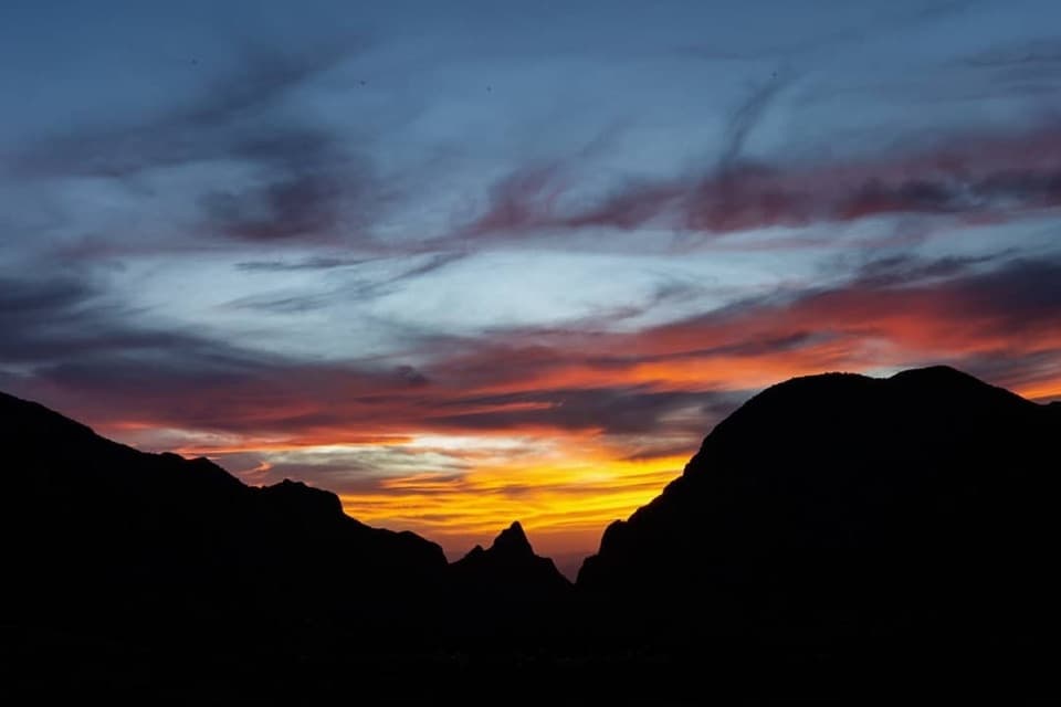
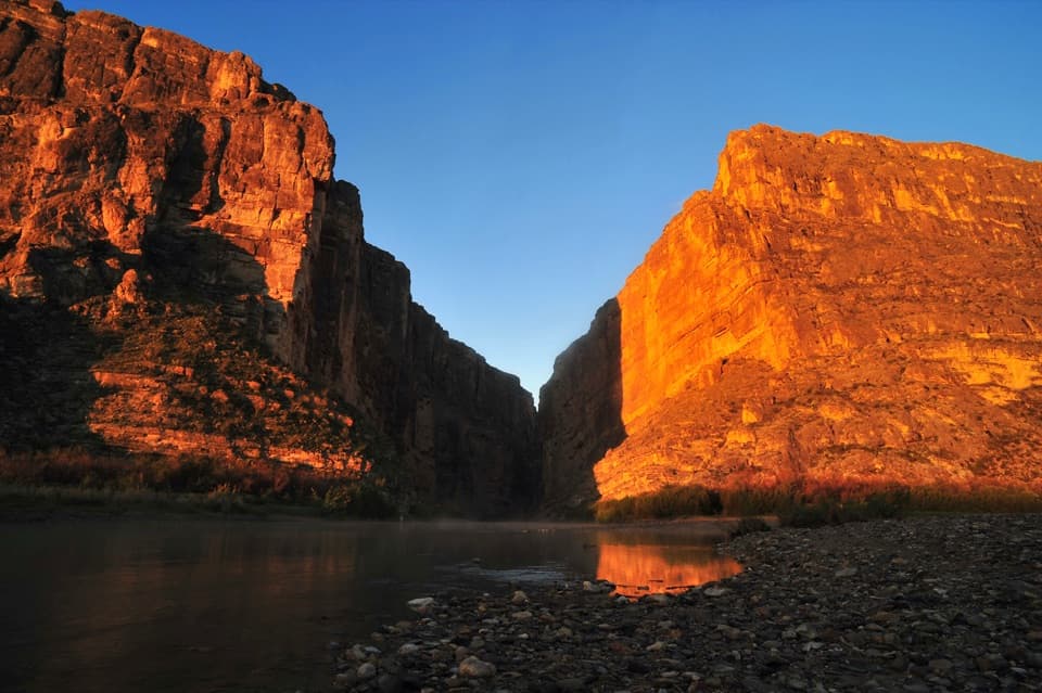
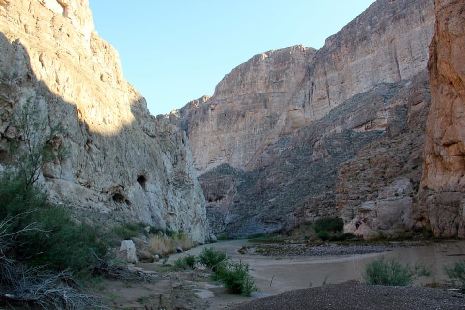
Stone walls from ancient magma, right beside the scenic drive.

Photo: National Park Service
Type
Scenic pullout
Nearest trail
0.4 mi
Audio stories
4 nearby
  • Pullout
  • Parking
  • Exhibit
  • Scenic viewpoint

Hear the audio tour

Fins of Fire

Overview

About Fins of Fire

Why stop

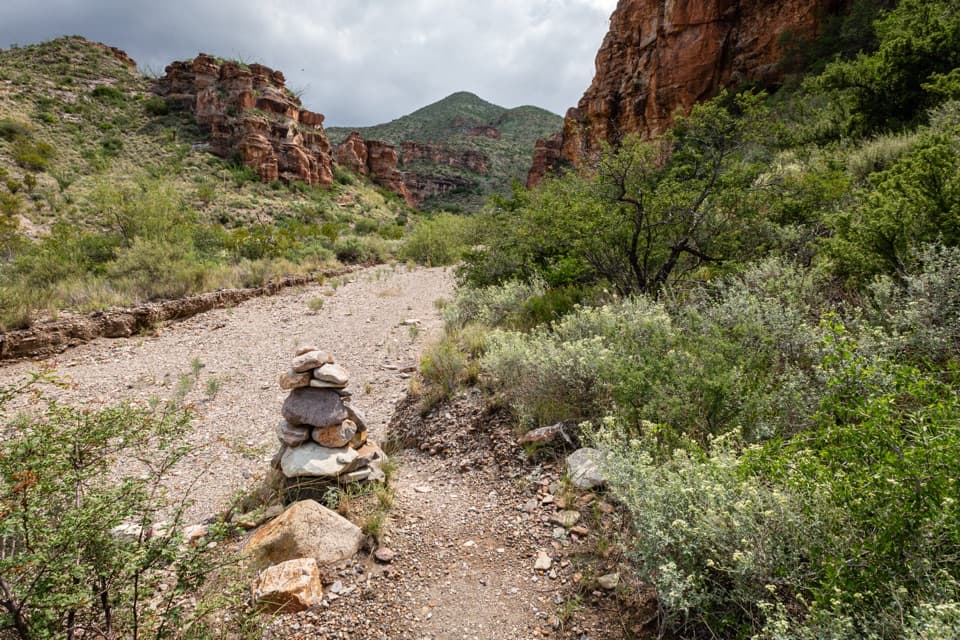
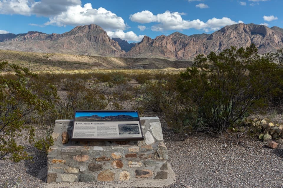
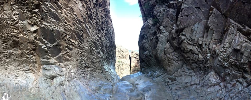
  • The four-image panel makes the dike patterns easier to spot.

Map

Where it is

Loading the Big Bend map
Full map
Scenic pulloutFins of Fire29.26756, -103.36872
Keep this map with you offline in the Parkwolf app

Plan your stop

Before you go

2 active Big Bend alerts

  • ClosureWeather-related road closuresDo not use these closed roads; NPS lists the closures as in effect until further notice.Official details
  • InfoBoquillas Crossing schedule changeBoquillas Crossing is open Friday through Monday, 9:00 a.m.–4:00 p.m.; NPS says it will not change to winter hours at this time. Check current park conditions before planning a crossing.Official details

Big Bend alerts
A park ranger sits on a dash-mounted phone, talking, as Parkwolf’s Tour Guide plays “Army Cutworm Moths: A Grizzly Bear Buffet” on Grand Loop Road below Dunraven Pass in Yellowstone
Parkwolf Tour GuideThe highest, rockiest slopes around here are a summer buffet for grizzly bears.

Big Bend Tour Guide

Your drive to Fins of Fire, narrated.

Parkwolf is a GPS audio tour guide for Big Bend National Park. As you drive, it chimes in with what’s ahead: hidden gems, upcoming stops, history, geology, and wildlife, right through your car’s speakers.

See the Big Bend audio tour

Recorded for this place

Fins of Fire
0:00 / 0:21
“Fins of Fire is ahead, a quick roadside stop for tracing long stone walls across the slopes. The four-picture panel helps you pick out these igneous dikes, some stretching for miles.”

Plays as you drive up to Fins of Fire in the Parkwolf Big Bend Tour Guide.

More stories near here in the app

  • Apache Canyon Trail to Rock Corral
  • Sam Nail Ranch
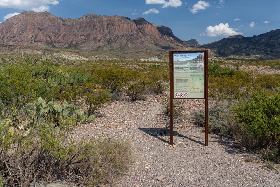
  • Ward Spring Trail
  • Chisos Mountains Exhibit
  • 110 audio storiesacross Big Bend’s roads, triggered by GPS as you drive
  • Wildlife heatmapsfor Black Bear, Collared Peccary, White-tailed Deer, and 13 more
  • Works offlinemaps, 45 trails, 64 places, and audio download before you lose signal
  • CarPlay readysimple controls built for the drive
★★★★★
“Fantastic app with many points of information… It’s great to just turn on while you’re driving and it gives you an audio tour of the national Park. We love it!!!!”
JMJamesApp Store review
Download Parkwolf on the App StoreGet Parkwolf on Google Play

4.7 from 8,600+ ratings

Guide

More about Fins of Fire

A quick look at the dikesFins of Fire is a roadside geology stop on Ross Maxwell Scenic Drive, about four miles from its…

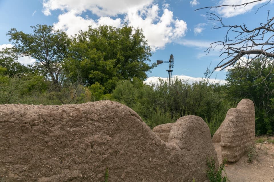
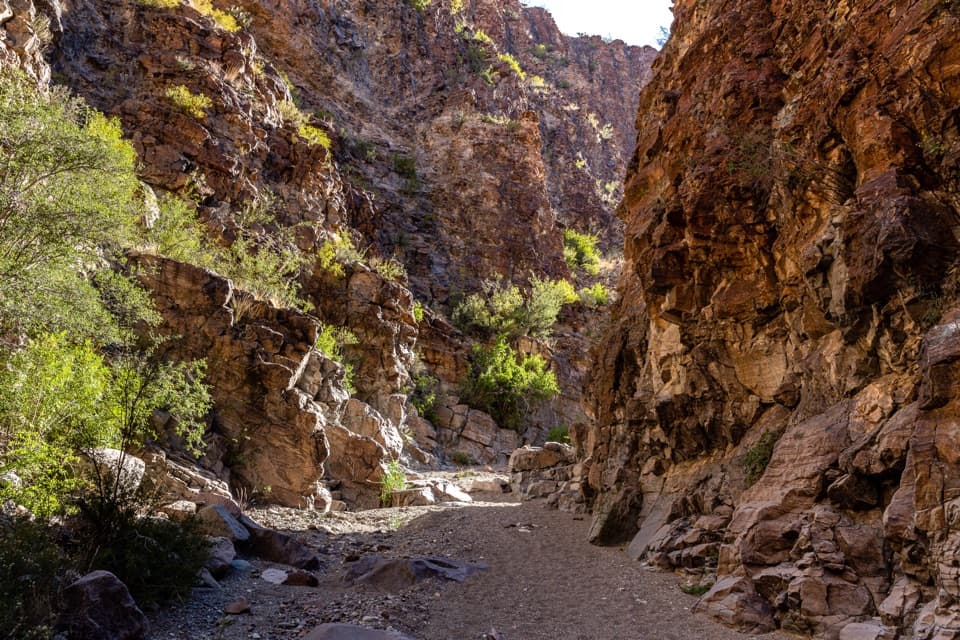
Fins of Fire is a roadside geology stop on Ross Maxwell Scenic Drive, about four miles from its northern end. The view and a four-image panel explain the long, fin-shaped igneous dikes crossing the slopes. Stop if you like being able to read the landscape, not just admire it. For a photo, keep the surrounding slopes in frame so the dikes read as long lines rather than isolated rocks.

How the stone walls formedThe dikes began as magma moving into cracks in older rock about 29 million years ago.

The dikes began as magma moving into cracks in older rock about 29 million years ago. It cooled underground; over time, softer rock around it wore away and left the harder igneous walls exposed. Some dikes can be followed for miles across the park.

A clue to the ChisosMany dikes radiate from volcanic centers, and their pattern helps geologists piece together how…

Many dikes radiate from volcanic centers, and their pattern helps geologists piece together how the Chisos Mountains formed. A reference photo on the panel includes two people, a useful reminder of the walls’ scale. The stop is described as wheelchair accessible, though the surface and distance from parking aren’t specified.

Wildlife

Wildlife in Big Bend

All Big Bend wildlife maps

Sighting maps show where each species has been reported across Big Bend. Wildlife moves, so no sighting is guaranteed.

Keep exploring

Near Fins of Fire

See it all on the map

Trails nearby

More stops nearby

Parkwolf’s Big Bend ranking

Top sights in Big Bend

All 64 places
  1. 1Santa Elena CanyonSight
  2. 2Sotol VistaSight
  3. 3Fossil Discovery ExhibitSight
  4. 4Window ViewSight
  5. 5Boquillas CanyonSight
  6. 6Langford Hot SpringsSight

Take Parkwolf to Big Bend.

The audio tour guide for the drive, plus offline maps, trails, and wildlife heatmaps for when the signal drops.

4.7 from 8,600+ ratings

Download Parkwolf on the App StoreGet Parkwolf on Google Play