Oak Spring Trail in Big Bend National Park

Big Bend National Park, TX

Oak Spring Trail

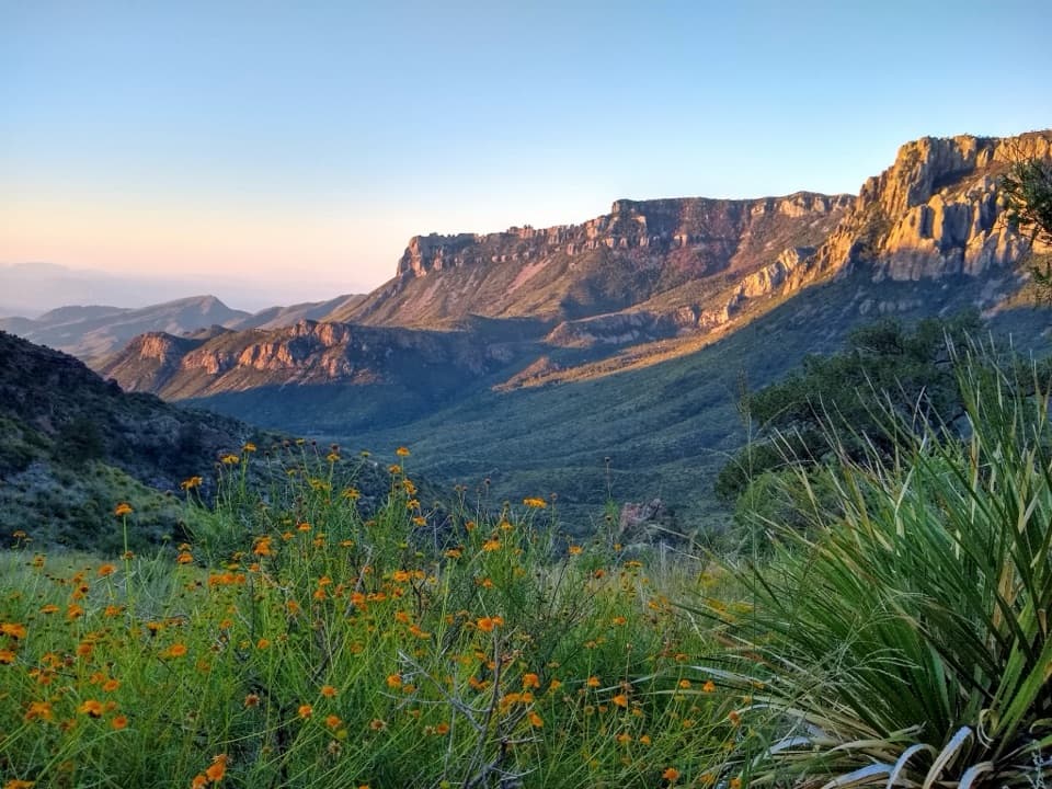
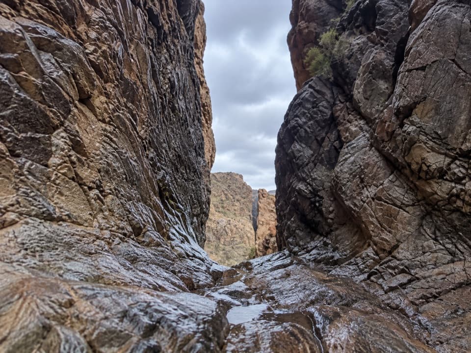
The Window from the west, with a climb and desert views.

Length
7.2mi
Time
5hr
Elev. change
1,017ft
Difficulty
Moderate
  • No dogs
  • High point 4,656 ft
  • #21 of 45 in Big Bend

Hear the audio tour

Sam Nail Ranch

Overview

About Oak Spring Trail

Why go

  • A west-side angle on the Window through Oak Creek Canyon.
  • Several clear turnarounds let you choose a shorter walk.

Heads up

  • The roadside version includes a long gravel-road walk-in.
  • Steep switchbacks and a sharp descent to the Window Trail junction.

Map & elevation

The route

Loading the Big Bend map
Full map
Elevation3,638–4,656 ft
TrailheadOak Springs Road entrance at the Sam Nail Ranch pullout, Ross Maxwell Scenic Drive29.27926, -103.36870
Keep this map with you offline in the Parkwolf app

Plan your hike

Before you go

Parking

Use the Sam Nail Ranch pullout on Ross Maxwell Scenic Drive, just south of the unmarked Oak Springs Road entrance, and walk the gravel road in. A small parking area is described about 1.3 miles up the road; public vehicle access there was not confirmed, so do not rely on it without checking with the park. The 7.2-mile route includes the roadside walk-in.

Safety

Steep grades and an exposed drop at the high overlook; the Oak Creek wash may hold water. Oak Spring and its storage tank are fenced off, so bring all water.

2 active Big Bend alerts

  • ClosureWeather-related road closuresDo not use these closed roads; NPS lists the closures as in effect until further notice.Official details
  • InfoBoquillas Crossing schedule changeBoquillas Crossing is open Friday through Monday, 9:00 a.m.–4:00 p.m.; NPS says it will not change to winter hours at this time. Check current park conditions before planning a crossing.Official details
Big Bend alerts
A park ranger sits on a dash-mounted phone, talking, as Parkwolf’s Tour Guide plays “Army Cutworm Moths: A Grizzly Bear Buffet” on Grand Loop Road below Dunraven Pass in Yellowstone
Parkwolf Tour GuideThe highest, rockiest slopes around here are a summer buffet for grizzly bears.

Big Bend Tour Guide

Your drive to Oak Spring Trail, narrated.

Parkwolf is a GPS audio tour guide for Big Bend National Park. As you drive, it chimes in with what’s ahead: hidden gems, upcoming stops, history, geology, and wildlife, right through your car’s speakers.

See the Big Bend audio tour

Recorded for this trailhead

Sam Nail Ranch
0:00 / 0:28
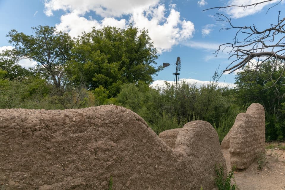
“Up ahead is Sam Nail Ranch, where a short loop leads to adobe walls, windmill remains, and a shaded grove. Give it about half an hour, and walk all the way down to the trees; the ruins aren't visible from the road.”

Plays as you drive up to this trailhead in the Parkwolf Big Bend Tour Guide.

More stories near here in the app

  • Fins of Fire
  • Apache Canyon Trail to Rock Corral
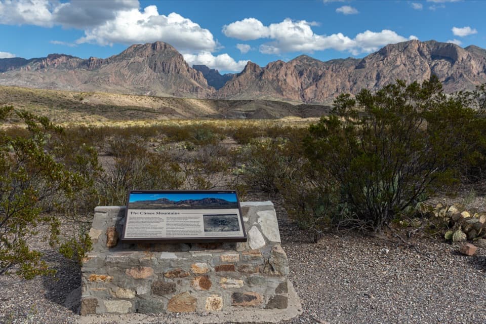
  • Chisos Mountains Exhibit
  • Ward Spring Trail
  • 110 audio storiesacross Big Bend’s roads, triggered by GPS as you drive
  • Wildlife heatmapsfor Black Bear, Collared Peccary, White-tailed Deer, and 13 more
  • Works offlinemaps, 45 trails, 64 places, and audio download before you lose signal
  • CarPlay readysimple controls built for the drive
★★★★★
“Fantastic app with many points of information… It’s great to just turn on while you’re driving and it gives you an audio tour of the national Park. We love it!!!!”
JMJamesApp Store review
Download Parkwolf on the App StoreGet Parkwolf on Google Play

4.7 from 8,600+ ratings

Trail guide

Hiking Oak Spring Trail

The west-side Window routeOak Spring Trail is a 7.

Oak Spring Trail is a 7.2-mile out-and-back from Ross Maxwell Scenic Drive to the Window Trail junction, about five hours. That total includes walking the gravel approach to the remote parking area and continuing over the high ridge before descending to the junction. This is the independent west-side approach; it turns around at the junction rather than going down to the Window pour-off. Shorter turnarounds reach Windows View at 4.8 miles round-trip from the drive or the high point at 6.4 miles.

Follow Oak Springs RoadStart at the Sam Nail Ranch pullout, just south of the unmarked Oak Springs Road entrance.

Start at the Sam Nail Ranch pullout, just south of the unmarked Oak Springs Road entrance. The gravel road climbs gently through open desert toward the Chisos, then enters the Oak Creek drainage about 1.8 miles from the drive. At the signed Cattail Falls junction, keep left for Oak Spring; the right branch is a different hike. The wash can hold water. The road continues uphill to a fenced spring and water tank, where hikers cannot enter the facility; the signed footpath leaves to the left.

Climb to the view, then drop to the junctionBeyond the tank, the path climbs steeply along the north side of Oak Creek Canyon.

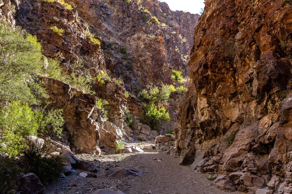
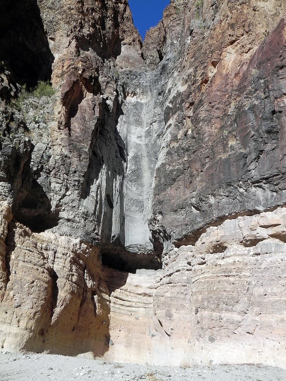
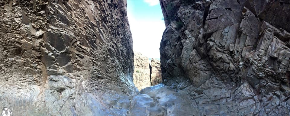
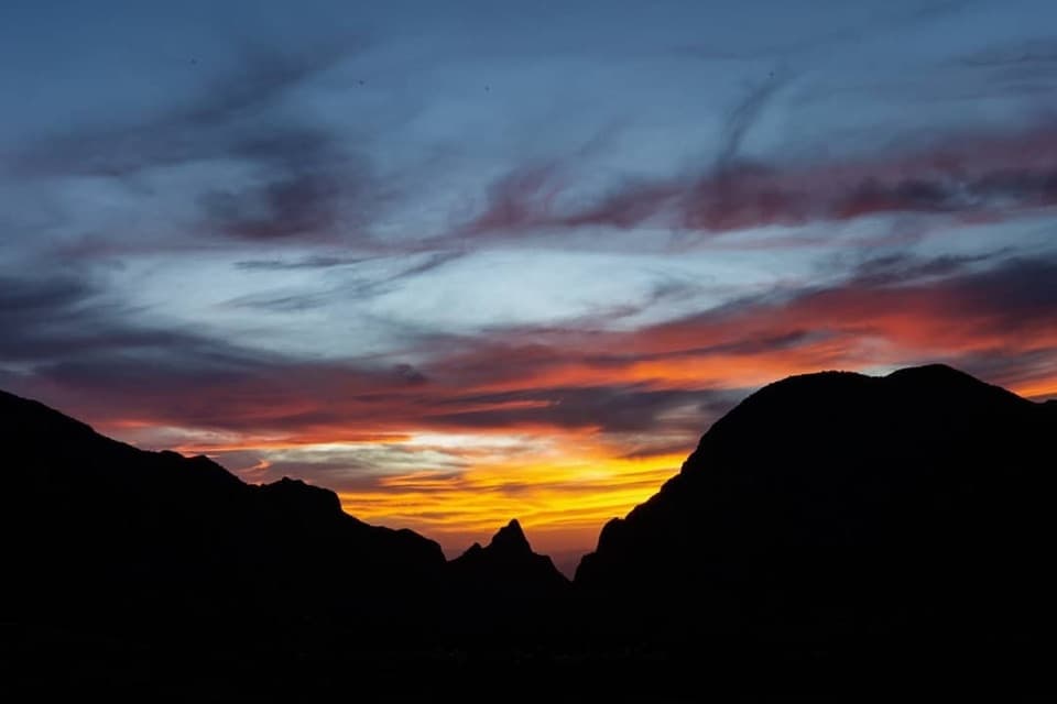
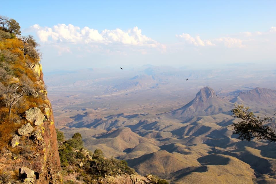
Beyond the tank, the path climbs steeply along the north side of Oak Creek Canyon. Windows View, about 2.4 miles from the drive, looks toward the pour-off below the V between Vernon Bailey Peak and Carter Peak. The waterfall flows only in wet periods, and this is a good shorter turnaround. Higher up, switchbacks pass a jagged tower and reach a rugged cliff-top high point about 3.2 miles from the drive. The open ridge looks down Oak Spring Canyon, across Burro Mesa and toward the Christmas Mountains. Beyond the high point, the path crosses a ridge and descends steeply to an overlook above the Window Trail; turn around at the junction. A further half-mile round-trip down the Window Trail reaches the pour-off, but is outside this route. At Windows View, frame the gap between the rounded Vernon Bailey Peak and triangular Carter Peak to show the shape of the opening.

Spring, water and footingOak Spring is a perennial source that supplies the Basin through a three-mile pipeline, but the…

Oak Spring is a perennial source that supplies the Basin through a three-mile pipeline, but the fenced tank is off limits and is not a water stop. No toilets or food were found along the walk, so bring water for the long desert outing. The climb and descent are steep, the overlook has a sharp drop, and the Oak Creek wash can hold water. Keep back from the edge. Pets are not allowed on park trails.

Wildlife

Wildlife in Big Bend

All Big Bend wildlife maps

Sighting maps show where each species has been reported across Big Bend. Wildlife moves, so no sighting is guaranteed.

Keep exploring

Near Oak Spring Trail

See it all on the map

Trails that start nearby

Places near the trailhead

Parkwolf’s Big Bend ranking

Top-rated trails in Big Bend

All 45 trails
  1. 1South Rim TrailChallenging · 12.5 mi
  2. 2Santa Elena Canyon TrailEasy · 1.6 mi
  3. 3Lost Mine TrailModerate · 4.8 mi
  4. 4Emory Peak TrailChallenging · 10.5 mi
  5. 5The Window TrailModerate · 5.5 mi
  6. 6Grapevine Hills TrailModerate · 2.2 mi

Take Parkwolf to Big Bend.

The audio tour guide for the drive, plus offline maps, trails, and wildlife heatmaps for when the signal drops.

4.7 from 8,600+ ratings

Download Parkwolf on the App StoreGet Parkwolf on Google Play