Apache Canyon Trail to Rock Corral in Big Bend National Park

Big Bend National Park, TX

Apache Canyon Trail to Rock Corral

A cairned desert hike ends at Sam Nail's stone corral.

Length
7.2mi
Time
4.5hr
Elev. change
279ft
Difficulty
Challenging
  • No dogs
  • High point 3,957 ft

Hear the audio tour

Apache Canyon Trail to Rock Corral

Overview

About Apache Canyon Trail to Rock Corral

Why go

  • A substantial ranch-era stone corral at the end of the maintained tread
  • Open mesa views back to the Chisos

Heads up

  • Unsigned cairned route requires a detailed map
  • Long, exposed walk with repeated ups and downs

Map & elevation

The route

Loading the Big Bend map
Full map
Elevation3,678–3,957 ft
TrailheadCottonwood Creek Pullout29.26115, -103.36932
Keep this map with you offline in the Parkwolf app

Plan your hike

Before you go

Parking

Unmarked roadside pullout at the Cottonwood Creek crossing on Ross Maxwell Scenic Drive, about 1.3 miles south of Sam Nail Ranch. There is no signed trailhead or formal parking lot; park on the east side and cross the road to the west-side wash.

Safety

The route is fully exposed and can be very hot; there is no dependable water source along it. The cairned tread crosses washes and includes a short loose-rock climb, so carry detailed navigation and enough water. The cabin and canyon extension are off-trail. Confirm current access with the park; pets are not allowed on park trails.

2 active Big Bend alerts

  • ClosureWeather-related road closuresDo not use these closed roads; NPS lists the closures as in effect until further notice.Official details
  • InfoBoquillas Crossing schedule changeBoquillas Crossing is open Friday through Monday, 9:00 a.m.–4:00 p.m.; NPS says it will not change to winter hours at this time. Check current park conditions before planning a crossing.Official details
Big Bend alerts
A park ranger sits on a dash-mounted phone, talking, as Parkwolf’s Tour Guide plays “Army Cutworm Moths: A Grizzly Bear Buffet” on Grand Loop Road below Dunraven Pass in Yellowstone
Parkwolf Tour GuideThe highest, rockiest slopes around here are a summer buffet for grizzly bears.

Big Bend Tour Guide

Your drive to Apache Canyon Trail to Rock Corral, narrated.

Parkwolf is a GPS audio tour guide for Big Bend National Park. As you drive, it chimes in with what’s ahead: hidden gems, upcoming stops, history, geology, and wildlife, right through your car’s speakers.

See the Big Bend audio tour

Recorded for this trailhead

Apache Canyon Trail to Rock Corral
0:00 / 0:29
“You're approaching the unmarked pullout for Apache Canyon Trail, a long desert walk to Sam Nail's stone corral.”

Plays as you drive up to this trailhead in the Parkwolf Big Bend Tour Guide.

More stories near here in the app

  • Fins of Fire
  • Ward Spring Trail
  • Sam Nail Ranch
  • Upper Burro Mesa Pouroff
  • 110 audio storiesacross Big Bend’s roads, triggered by GPS as you drive
  • Wildlife heatmapsfor Black Bear, Collared Peccary, White-tailed Deer, and 13 more
  • Works offlinemaps, 45 trails, 64 places, and audio download before you lose signal
  • CarPlay readysimple controls built for the drive
★★★★★
“Fantastic app with many points of information… It’s great to just turn on while you’re driving and it gives you an audio tour of the national Park. We love it!!!!”
JMJamesApp Store review
Download Parkwolf on the App StoreGet Parkwolf on Google Play

4.7 from 8,600+ ratings

Trail guide

Hiking Apache Canyon Trail to Rock Corral

An unsigned walk to the corralApache Canyon Trail to Rock Corral is a 7.

Apache Canyon Trail to Rock Corral is a 7.2-mile out-and-back from an unmarked roadside pullout, crossing Burro Mesa to the stone corral associated with Sam Nail Ranch. The mapped hike ends at the corral; the nearby cabin and colorful Apache Canyon overlooks are off-trail extensions. The tread is described as maintained but is not signed or included in the park's trail brochures, so check with the park about access before setting out. Plan about 4 to 5 hours for the walk and time at the corral; that is a planning estimate, since a typical time is not published.

Find the cairned startThe pullout is at the Cottonwood Creek crossing on Ross Maxwell Scenic Drive, about 1.

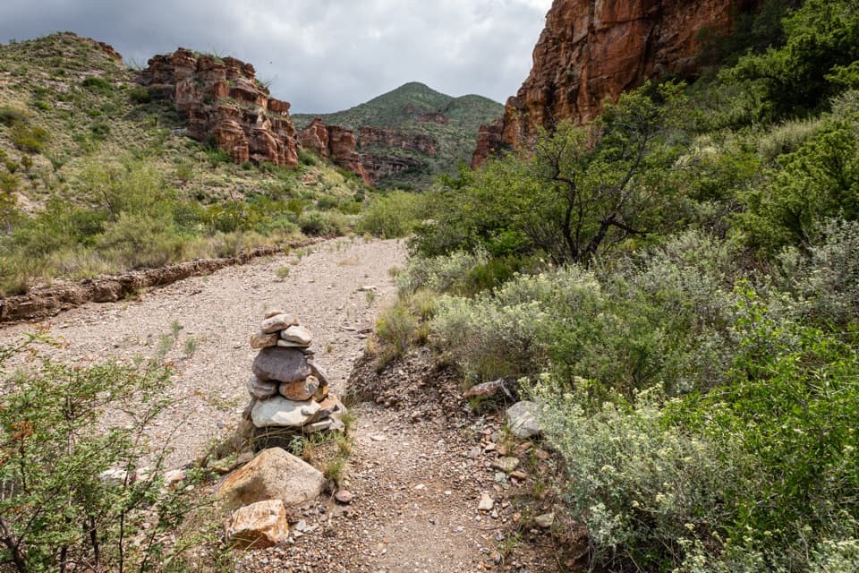
The pullout is at the Cottonwood Creek crossing on Ross Maxwell Scenic Drive, about 1.3 miles south of Sam Nail Ranch. There is no signed trailhead or formal lot. Park on the east side, cross the road to the west-side wash, and follow the sandy creek bed southwest for about 200 feet until a cairn marks the path climbing out of the wash. A detailed map and GPS help: the route is marked by cairns rather than signs.

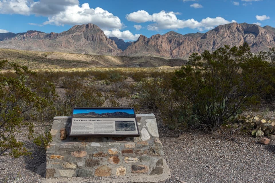
The first climb is mostly gentle through cactus scrub, with a short steeper section of loose stones up to a saddle on Burro Mesa. Turn around there for a look back toward the Chisos; the mesa crossing ahead is open and easy to underestimate from the road.

Across the mesaThe path rises and dips through low, sparsely vegetated hills, crossing dry washes and climbing…

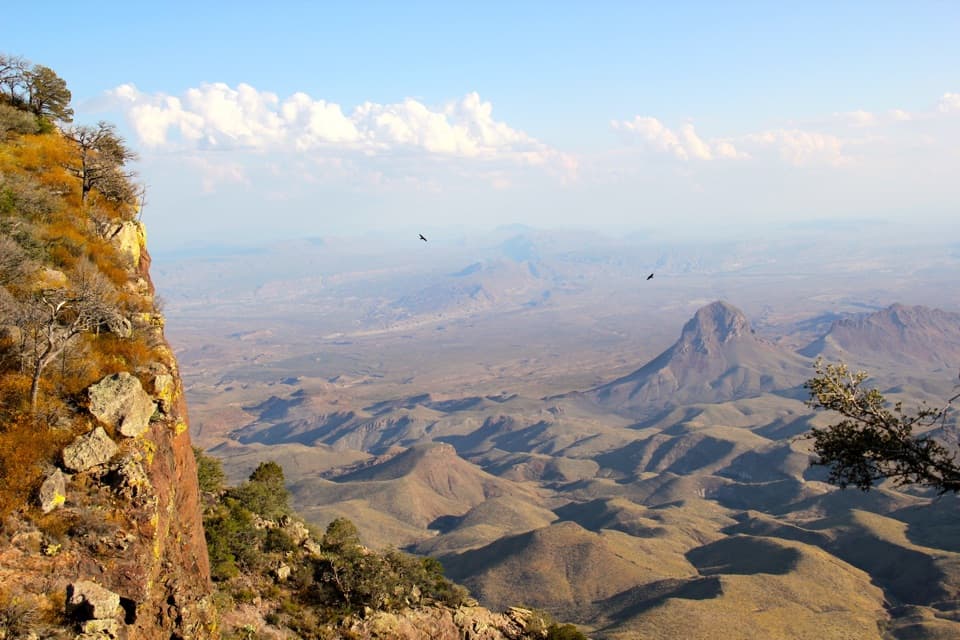
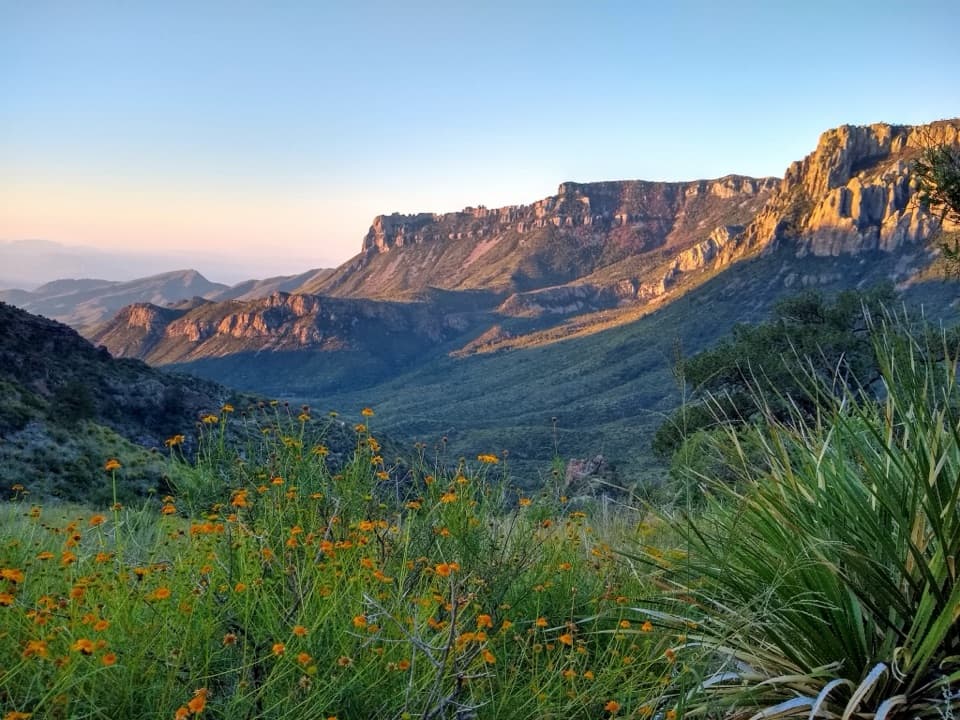
The path rises and dips through low, sparsely vegetated hills, crossing dry washes and climbing to a few low ridges. Chisos Mountain views open behind you to the east, while rounded Peak 4145 and Peak 4085 appear ahead to the west. After the last ridge, the route descends into a broad, brushy valley and crosses the wash toward Peak 4145.

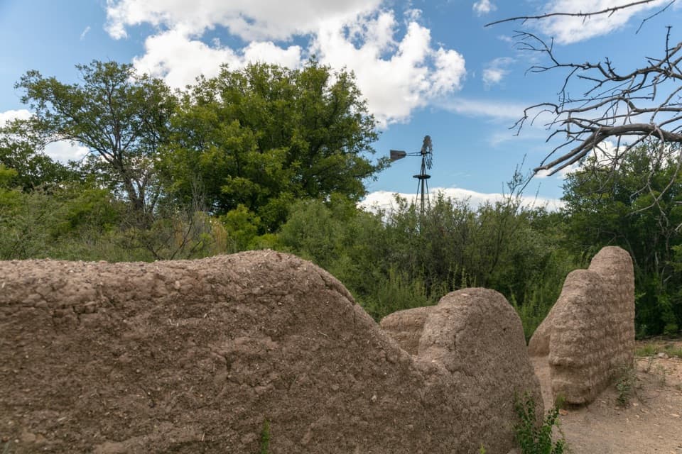
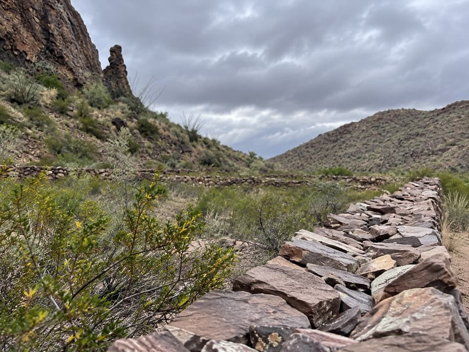
The stone corral sits at the foot of that western peak, across the valley from Peak 4085. Its walls enclose a rectangle about 150 by 90 feet and stand roughly 4 to 5 feet high. This is the end of the established trail; turn around here and retrace the same cairned route.

Heat and site careThe entire walk is exposed to the sun, with no dependable water source identified along the…

The entire walk is exposed to the sun, with no dependable water source identified along the route. Repeated ups and downs add about 900 feet of cumulative climbing, even though the single highest point is only about 200 feet above the trailhead. Carry all the water you need, start early, and favor the cooler months. Pets are not allowed on park trails.

The cabin and Apache Canyon's colored rock walls require leaving the established route and finding your own way across washes and a saddle. They are not part of this mapped hike. Leave the corral, cabin remains, stones, and any artifacts undisturbed.

Wildlife

Wildlife in Big Bend

All Big Bend wildlife maps

Sighting maps show where each species has been reported across Big Bend. Wildlife moves, so no sighting is guaranteed.

Keep exploring

Near Apache Canyon Trail to Rock Corral

See it all on the map

Trails that start nearby

Places near the trailhead

Parkwolf’s Big Bend ranking

Top-rated trails in Big Bend

All 45 trails
  1. 1South Rim TrailChallenging · 12.5 mi
  2. 2Santa Elena Canyon TrailEasy · 1.6 mi
  3. 3Lost Mine TrailModerate · 4.8 mi
  4. 4Emory Peak TrailChallenging · 10.5 mi
  5. 5The Window TrailModerate · 5.5 mi
  6. 6Grapevine Hills TrailModerate · 2.2 mi

Take Parkwolf to Big Bend.

The audio tour guide for the drive, plus offline maps, trails, and wildlife heatmaps for when the signal drops.

4.7 from 8,600+ ratings

Download Parkwolf on the App StoreGet Parkwolf on Google Play