Parking
From Panther Junction, continue north about a mile, then take the half-mile gravel access road to Lone Mountain Trailhead’s small parking area.

Big Bend National Park, TX
A sunlit loop around Lone Mountain’s volcanic base.
Overview
Map & elevation
Plan your hike

The highest, rockiest slopes around here are a summer buffet for grizzly bears.
Big Bend Tour Guide
Parkwolf is a GPS audio tour guide for Big Bend National Park. As you drive, it chimes in with what’s ahead: hidden gems, upcoming stops, history, geology, and wildlife, right through your car’s speakers.
See the Big Bend audio tourRecorded for this area
Panther Junction“You're approaching Panther Junction, the park's central visitor hub.”
Plays on the road 0.5 mi from the trailhead in the Parkwolf Big Bend Tour Guide.
More stories near here in the app
“Fantastic app with many points of information… It’s great to just turn on while you’re driving and it gives you an audio tour of the national Park. We love it!!!!”


Trail guide
Lone Mountain Trail circles the base of an isolated volcanic peak in a 2.7-mile loop, about a mile north of Panther Junction. Expect about 200 feet of elevation change and one to two hours on the trail. It is a good leg-stretch if you are already nearby and want a broad Chihuahuan Desert view; the payoff is open space and mountain scenery, not a long climb or a shaded walk.
Most of the loop is fairly level, with a few gradual rises and dips. The tread sits slightly above the surrounding desert in many places, and the rough sections were built up with local stone. Expect rocks and loose pebbles underfoot; a boulder-field stretch is rougher than the modest elevation suggests. Follow the marked trail rather than cutting across the desert.
The route passes close to Lone Mountain and opens toward the Chisos, Rosillos, and Dead Horse Mountains. Lone Mountain is an isolated peak at the north end of the Chisos, capped with igneous rock over softer shale. The park crew and Texas Conservation Corps shaped the route by hand, moving boulders and rubble to smooth low or steep spots and saving native plants for revegetation.
There is no shade along the loop. Bring water and sun protection; the park recommends one liter of water per person per hour of hiking. Pets are not allowed on park trails. Start at Lone Mountain Trailhead, reached by a half-mile gravel access road about a mile north of Panther Junction; the parking area is small.
Wildlife
 377 sightingsBlack BearMost seen around 7 PMSighting map
 329 sightingsCollared PeccaryMost seen around 7 PMSighting map
 500 sightingsWhite-tailed DeerMost seen around 7 PMSighting map
 985 sightingsRoadrunnerMost seen around 8 AMSighting map
 228 sightingsRavenMost seen around 5 PMSighting map
 264 sightingsTurkey VultureMost seen around noonSighting map
Sighting maps show where each species has been reported across Big Bend. Wildlife moves, so no sighting is guaranteed.
Keep exploring
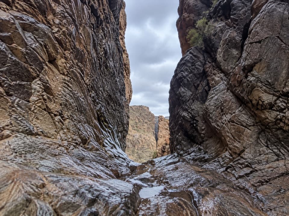
 ModeratePine Canyon Trail4 mi · 3 hr · 4.9 mi awayDesert grassland gives way to a shaded canyon and cliff pour-off.
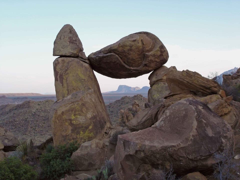 ModerateGrapevine Hills Trail2.2 mi · 1.5 hr · 5.2 mi awayFollow a sandy wash to a boulder balanced above the desert.
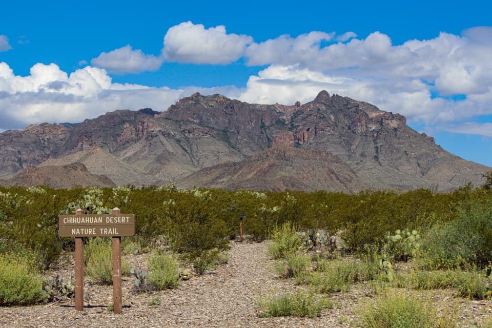 EasyChihuahuan Desert Nature Trail0.5 mi · 30 min · 5.9 mi awayA short desert loop puts names to the plants around you.
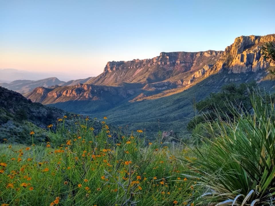 ModerateLost Mine Trail4.8 mi · 3 hr · 6.5 mi awayA stepped climb to a ridge above Juniper Canyon.
 EasyFossil Discovery Exhibit Trail0.4 mi · 30 min · 7 mi awayA short paved climb opens a broad view across fossil-bearing layers.
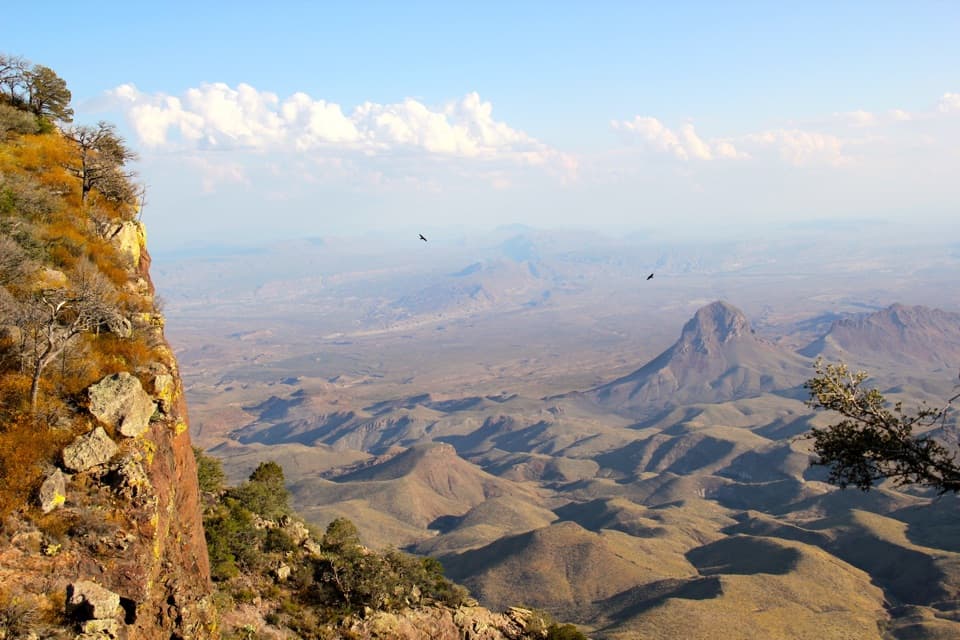 ChallengingSouth Rim Trail12.5 mi · 6.5 hr · 7.4 mi awayA hard climb to the rim, back through Boot Canyon and Pinnacles.
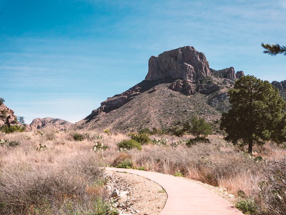 EasyWindow View Trail0.3 mi · 30 min · 7.4 mi awayA paved Basin loop with a clear view through the Window.
 ChallengingEntire Rim Loop13.6 mi · 9 hr · 7.4 mi awayBoth Chisos rims and Boot Canyon in a full-day loop.
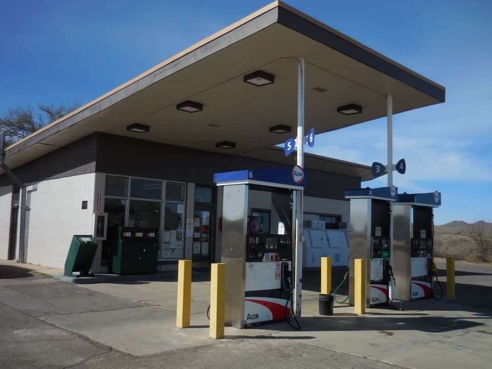 Gas station · 0.5 mi awayPanther Junction Service StationA 1958 Mission 66 station still serving a remote park.
 Visitor center · 0.5 mi awayPanther Junction Visitor CenterStart here before the long drives through the park.
 Sight · 3.2 mi awayNina Hannold's GravesiteA cactus-lined path leads to a pioneer family's grave.
 Scenic pullout · 3.3 mi awayAnimal Highways ExhibitA quick stop to read the dry wash as a wildlife corridor.
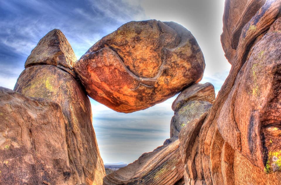 Sight · 4.4 mi awayBalanced RockA boulder spans two stone pillars in a field of desert rocks.
 Sight · 5.8 mi awayInvisible Wildlife ExhibitA quick lesson in the wildlife you might otherwise drive past.
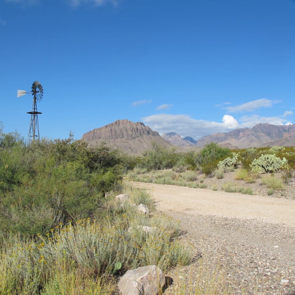 Picnic area · 5.9 mi awayDugout WellsA shady desert oasis with a short loop through Chihuahuan plants.
 Scenic pullout · 6 mi awayTree Zone ExhibitStand under an oak where desert plants meet mountain woodland.
Parkwolf’s Big Bend ranking

The audio tour guide for the drive, plus offline maps, trails, and wildlife heatmaps for when the signal drops.