Best time to go
Lines can get long from May through October, especially on holiday weekends. Give your arrival extra breathing room then; the booth is a poor place to arrive on a tight schedule.
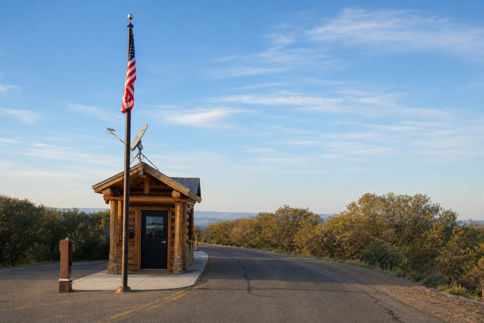
Entrance station · Black Canyon of the Gunnison National Park
Sort your park pass here before the South Rim drive.
Overview
Map
Plan your stop

The highest, rockiest slopes around here are a summer buffet for grizzly bears.
Black Canyon of the Gunnison Tour Guide
Parkwolf is a GPS audio tour guide for Black Canyon of the Gunnison National Park. As you drive, it chimes in with what’s ahead: hidden gems, upcoming stops, history, geology, and wildlife, right through your car’s speakers.
Recorded for this area
Rim Rock Trail from South Rim Campground“Rim Rock Trail is coming up, with its campground entrance near Loop C of South Rim Campground. It's a useful walk to the visitor center, following the rim past Tomichi Point with glimpses of the river below.”
Plays on the road 0.4 mi from South Rim Entrance Station in the Parkwolf Black Canyon of the Gunnison Tour Guide.
More stories near here in the app
“Fantastic app with many points of information… It’s great to just turn on while you’re driving and it gives you an audio tour of the national Park. We love it!!!!”


Guide
The South Rim Entrance Station is a small vehicle fee booth on CO-347, seven miles north of US 50. You pass through it on the way into the park, so think of it as an arrival checkpoint rather than a sightseeing stop. If you have a digital pass, bring a printed copy to show at the booth.
Annual passes are sold here in season, and pass upgrades are handled at the entrance station. If that is the reason you are stopping, check current availability before setting out.
Wildlife
 49 sightingsBighorn SheepMost seen around 7 AMSighting map
 67 sightingsMule DeerMost seen around 7 AMSighting map
 11 sightingsRed-tailed HawkMost seen around 10 AMSighting map
 10 sightingsCooper's HawkMost seen around 7 AMSighting map
 66 sightingsCollared LizardMost seen around 11 AMSighting map
 163 sightingsFence LizardMost seen around 10 AMSighting map
Sighting maps show where each species has been reported across Black Canyon of the Gunnison. Wildlife moves, so no sighting is guaranteed.
Keep exploring
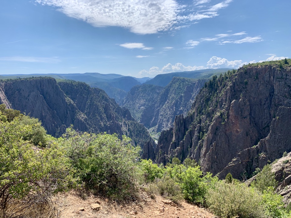 ModerateRim Rock Trail1 mi · 45 min · 0.4 mi awayOne mile on the rim links the visitor center and campground.
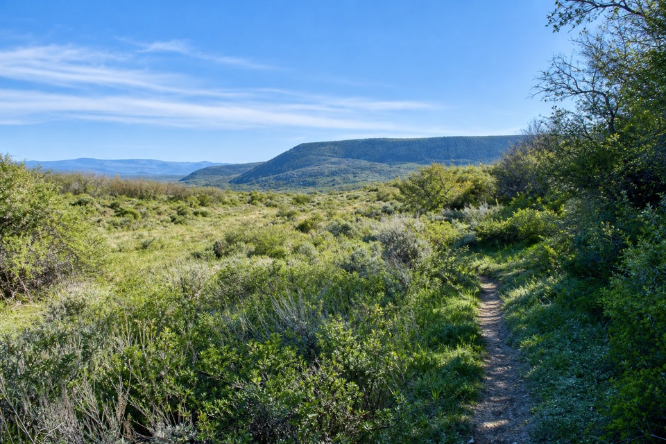 ModerateUplands Trail0.9 mi · 36 min · 0.9 mi awayA short upland connector, not a canyon-rim walk.
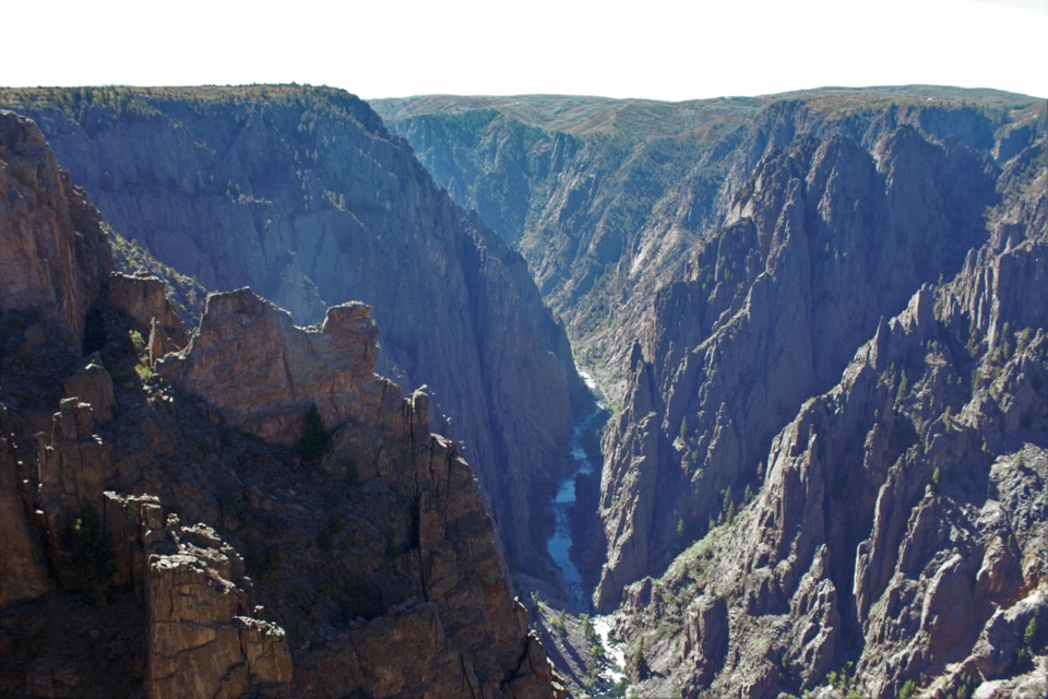 ModerateDeadhorse Trail5.2 mi · 3 hr · 1.7 mi awayAn old service road ends above Deadhorse Gulch.ModerateDeadhorse Trail with Loop6.6 mi · 4 hr · 1.7 mi awayA North Rim hike with a stock pond and two canyon overlooks.
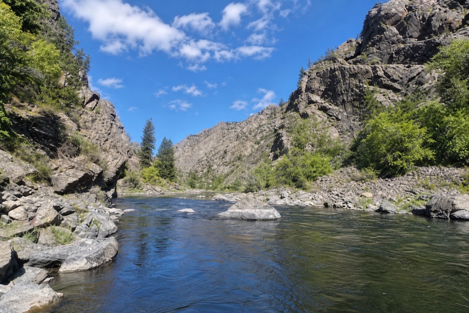 EasyEast Portal Trail0.8 mi · 45 min · 2.6 mi awayA short, rough river walk between steep canyon walls
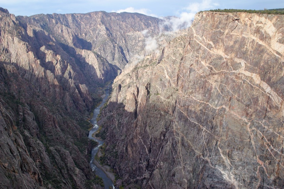 EasyCedar Point Nature Trail0.4 mi · 30 min · 2.9 mi awayPlant signs on the way to two canyon overlooks.
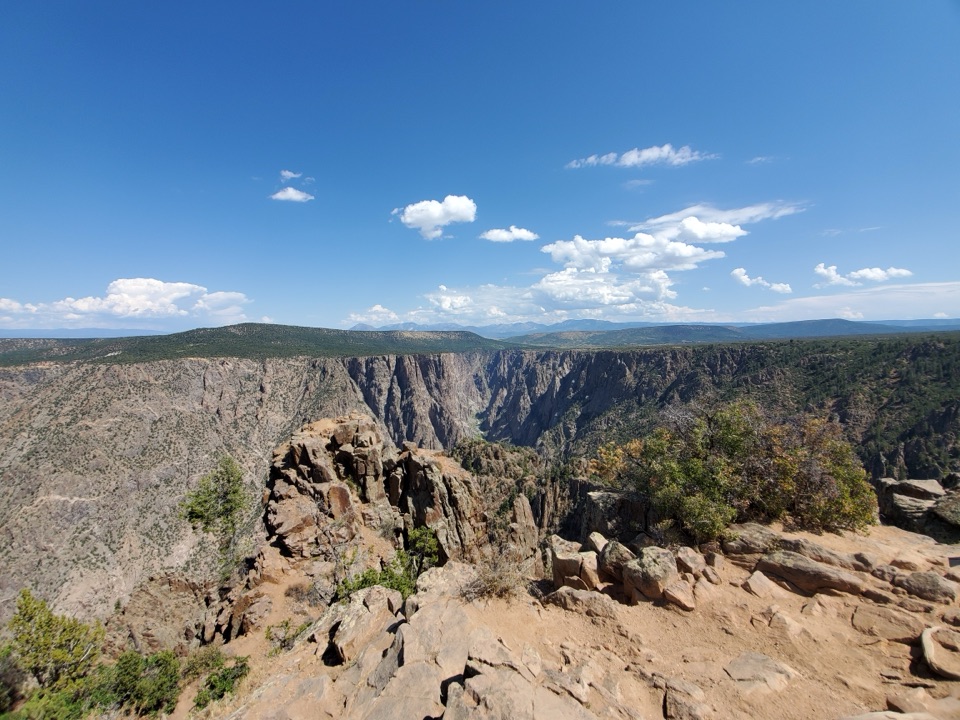 ModerateWarner Point Trail1.6 mi · 1 hr · 3 mi awayThe river is a long way below this short rim walk.
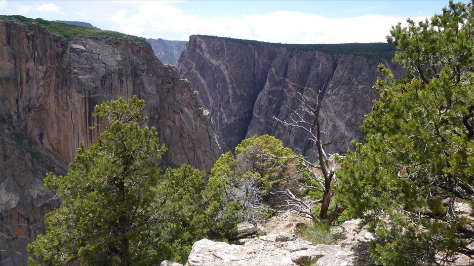 ModerateChasm View Nature Trail0.5 mi · 30 min · 3.2 mi awayA short woodland loop reaches two very different canyon views.
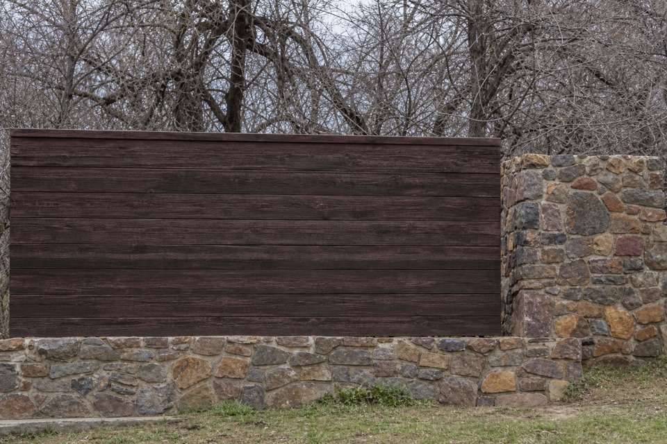 Sight · 0.2 mi awayBlack Canyon of the Gunnison National Park Entrance Sign (South Rim)A wood-and-stone welcome sign on the South Rim approach.
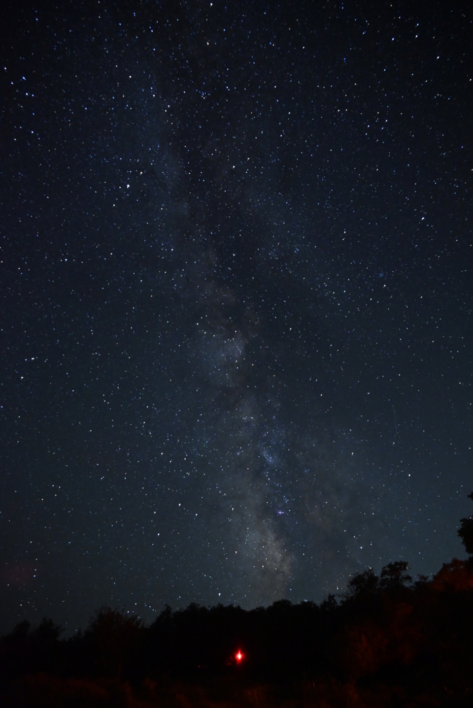 Campground · 0.3 mi awaySouth Rim CampgroundA high-elevation base one mile from the South Rim Visitor Center.
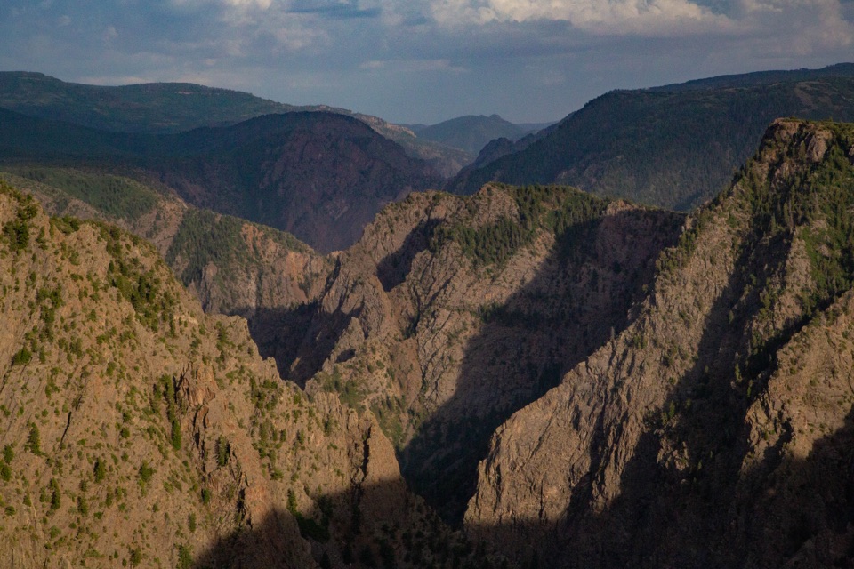 Sight · 0.7 mi awayTomichi OverlookAn easy first look down the canyon before the drive gets dramatic.
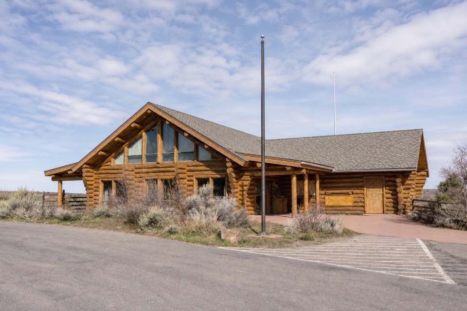 Visitor center · 1 mi awaySouth Rim Visitor CenterStart here for ranger advice, canyon context, and a quick view.
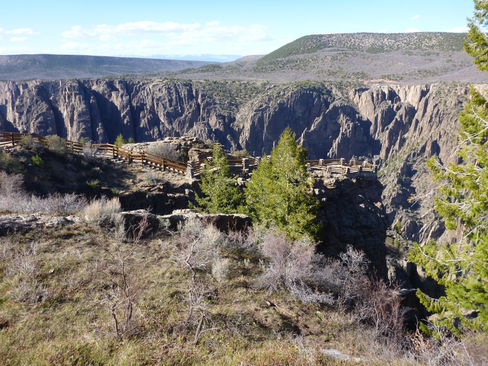 Sight · 1.1 mi awayGunnison Point OverlookA quick first look into the canyon's dark, jagged walls.Sight · 1.7 mi awayKneeling Camel OverlookPick out a camel-shaped rock above a quick, steep canyon view.
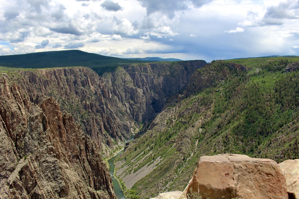 Sight · 1.7 mi awayPulpit Rock OverlookStep onto a natural ledge above the Gunnison River.
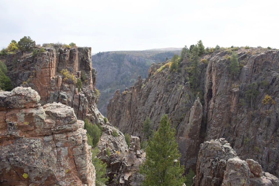 Sight · 1.8 mi awayIsland Peaks OverlookA short walk brings the fractured Island Peaks into view.
Parkwolf’s Black Canyon of the Gunnison ranking

The audio tour guide for the drive, plus offline maps, trails, and wildlife heatmaps for when the signal drops.